
|
| (Since the internet updated, the video does not work - Karen is trying to fix this, but she is not sure how.) If you know how, please email her. In the meantime, the Reversing Falls definitely has a story to be told, so please SCROLL DOWN for further explanation of the three tides, and some photos. PLUS there is a link at the bottom of this page for other places in the area, |
 |
|
| Tides are the periodic rise and fall of the sea caused by the gravitational pull of the moon and the sun on the Earth. Fundy’s tides are the highest in the world because of an unusual combination of factors: resonance and the shape of the bay. The water in the Bay of Fundy has a natural resonance or rocking motion called seiche. You could compare this to the movement of water in a bathtub. Although the water in a bathtub sloshes from one end to the other and back again in a few seconds, it takes about 13 hours for the water in the bay to rock from the mouth of the bay to the head of the bay and back again. As the ocean tide rises and floods into the bay every 12 hours and 25 minutes, it reinforces the rocking motion. To imagine this, picture an adult giving a gentle push
to a child on a swing. Just a very small push is required to keep the
swing moving. Likewise the seiche in the bay is sustained by the natural
resonance of the ocean tides. The bay’s shape and bottom topography
are secondary factors contributing to Fundy’s high tides. The bay
becomes narrower and shallower 426 feet to 131 feet toward the upper bay,
forcing the water higher up onto the shores. |
|
|
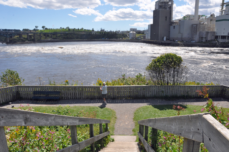
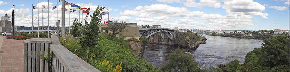
There
are three (3) tides - Low, Slack, and High Tides |
|
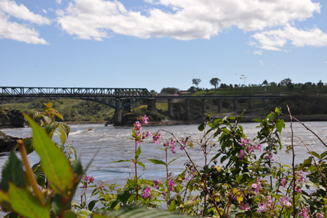
| Low
tide at viewing area #1 - water flowing towards the bridge with whirlpools |
|
 |
 |
|
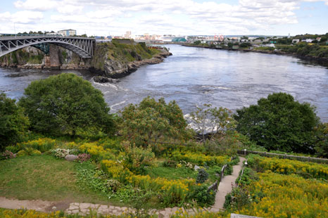
Slack
tide at viewing area #1 - water is calm |
|
 |
|
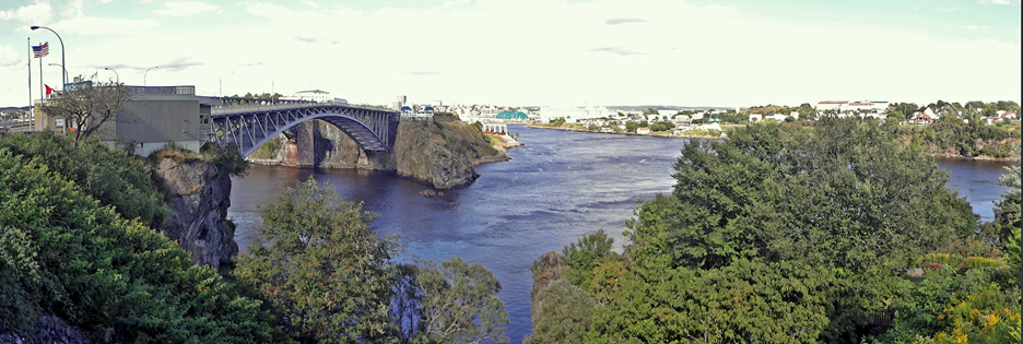
Start
of High tide at viewing area #1 - water flowing away from the bridge - no whirlpools until full high tide |
|
 |
|
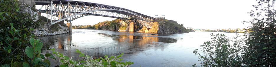
Low tide at viewing area
# 2 - water flowing from under the bridge - |
 |
Notice the waves by the rock at the
base of bridge |
|
Slack tide at viewing area #2 - water
is calm |
 |
Start of High
tide at viewing area #2 - water flowing towards the bridge - and the rock at the base of the bridge is almost covered |
 |
 The
two RV Gypsies visited 10 areas of New Brunswick listed
in the menu below. You may view them in any order you wish. The page you
are on has been grayed out (not underlined) and cannot be chosen from here.
There is also a link to PEI. The
two RV Gypsies visited 10 areas of New Brunswick listed
in the menu below. You may view them in any order you wish. The page you
are on has been grayed out (not underlined) and cannot be chosen from here.
There is also a link to PEI. |
|
| |
|
Village
of Saint Martins |
|
| Ponderosa Pines Campground (before and during Tropical Storm Irene) and a resident groundhog | |
Hopewell Rocks - the Bay
of Fundy's Flowerpot Rocks - sculpted by the highest tides in the world |
|
|
|
 After
you have seen all 10 of the sections above - Continue on to the next adventure
of the two RV Gypsies 2011 travels in Canada - Prince
Edward Island After
you have seen all 10 of the sections above - Continue on to the next adventure
of the two RV Gypsies 2011 travels in Canada - Prince
Edward Island |
|