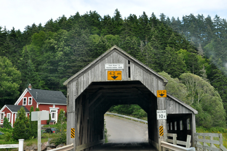
| The two
RV Gypsies drove through the 72 foot long Irish River #2 Hardscrabble 1946
covered bridge and then on to the famous Fundy Trail. |
|
 |
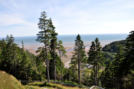
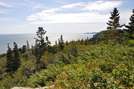
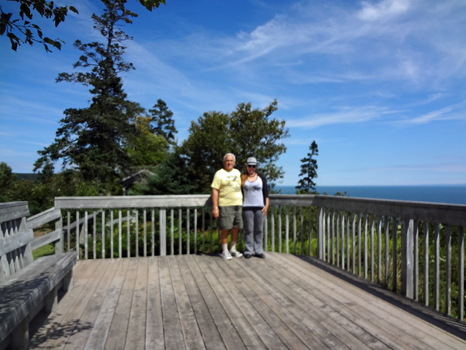
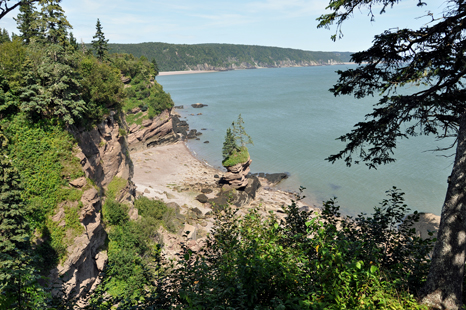
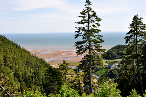
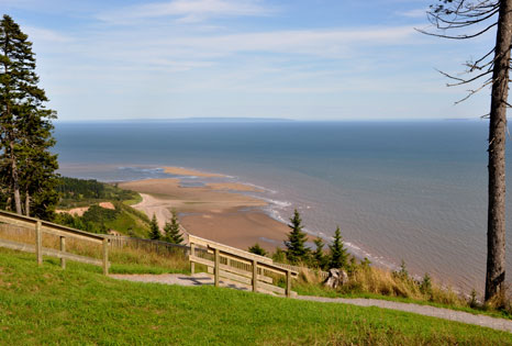
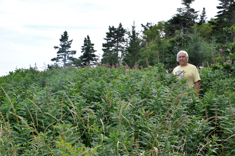
| Lee
Duquette and the view from Fox Rock Observation Deck, Elevation: 223 feet. |
|
|
|
|
|
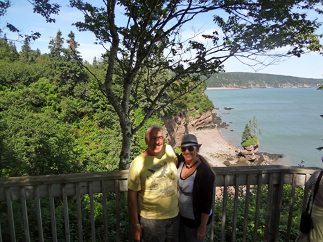
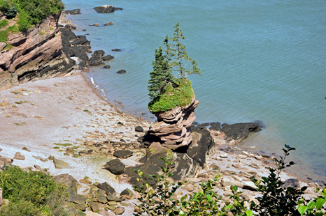
| Next the
two RV Gypsies took the stairs and trail to Flower Pot Rock on the
Fundy Trail - Bay of Fundy, New Brunswick, Canada. |
|
|
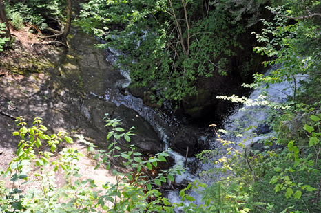
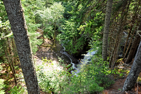
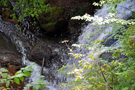
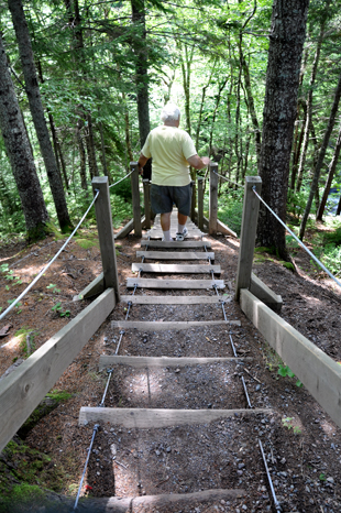
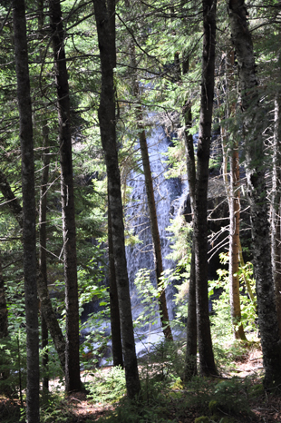
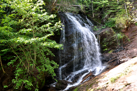
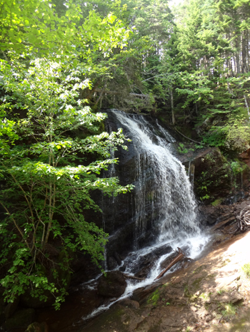
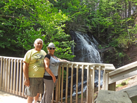
| Next
the two RV Gypsies went down cable stairs to Fuller Falls - but first they
viewed Fuller Falls from both an observation deck and from the trail to
the cable stairs. |
|
|
|
|
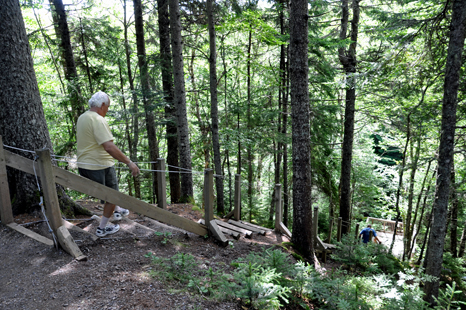
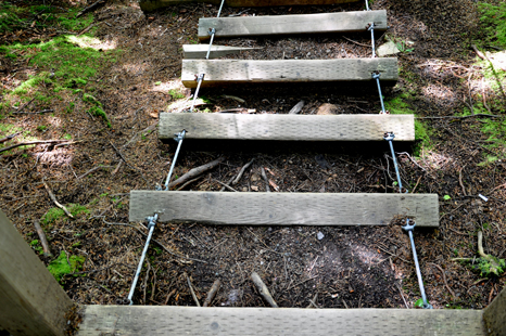
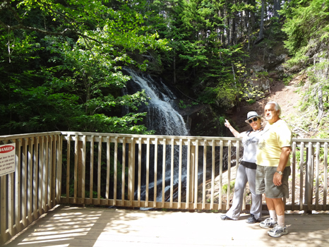
| Below;
A cable staircase led to Fuller Falls. Since there was space between the
steps and the ground, each step moved as the two RV Gypsies stepped on them.
Although it was a new type of staircase for the two RV Gypsies, they did
NOT find the cable staircase difficult. |
|
|
|
|
|
|
|
|
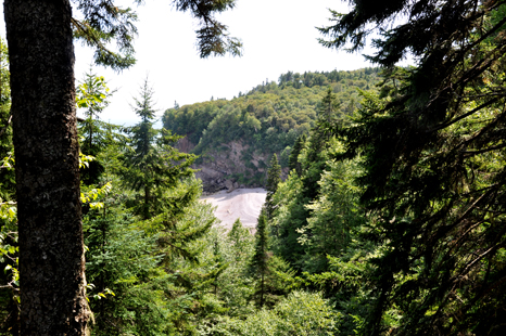
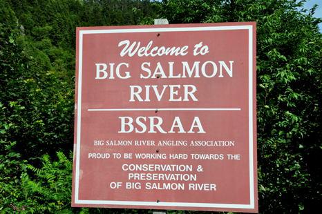
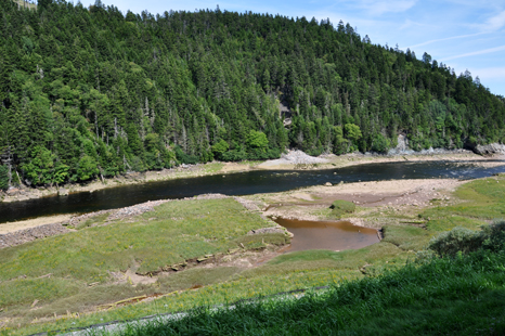
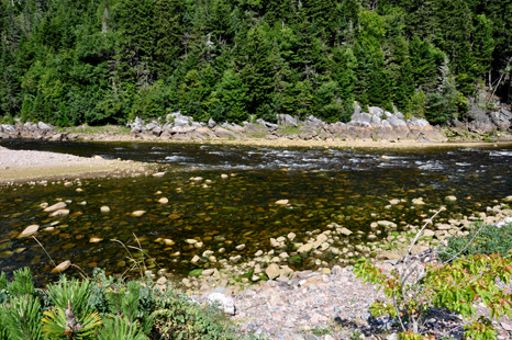
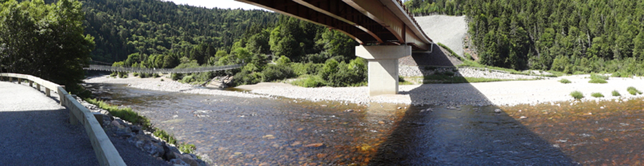
| Below:
The Big Salmon River |
|
|
|
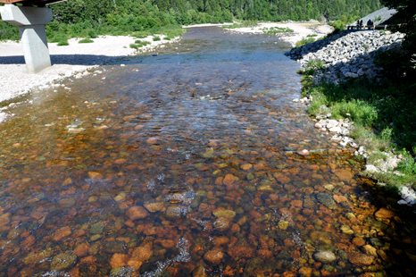
| Below:
Clear water trickled over multicolored rocks.
|
|
|
| Below:
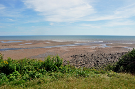
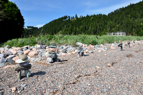
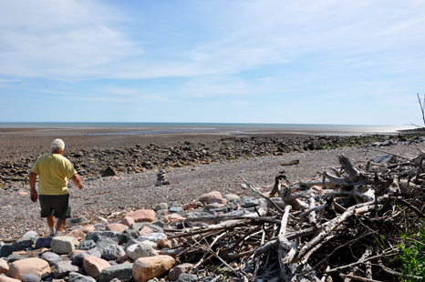
Big Salmon Beach |
|
| Below:
The two RV Gypsies took a wooden walk down to a rocky shore!
|
|
|
|
|
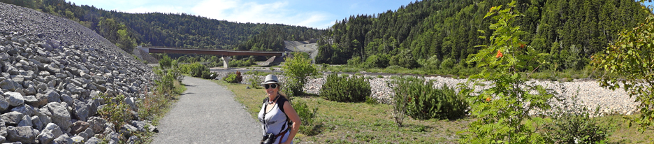
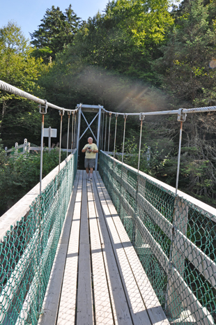
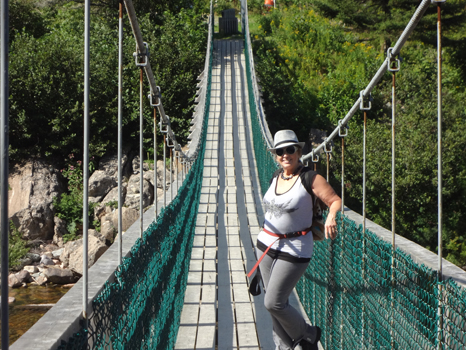
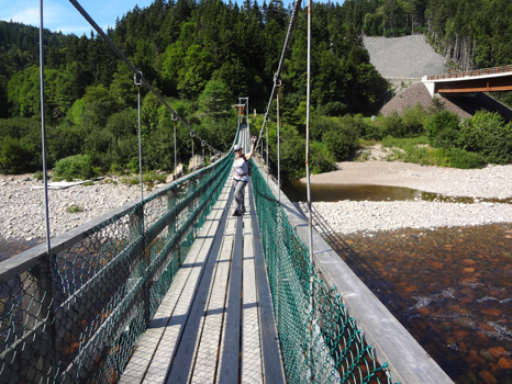
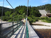
| The
two RV Gypsies followed the path from Big Salmon River and Beach to an elegant
foot bridge going over the Big Salmon River. |
|
|
|
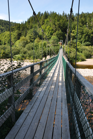
The
elegant suspension bridge over the Big Salmon River |
|
|
|
|
|
Cranberry Brock
Lookout |
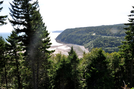
Big Salmon River
Lookout:
Elevation 367 feet |
|
|
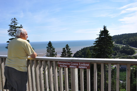
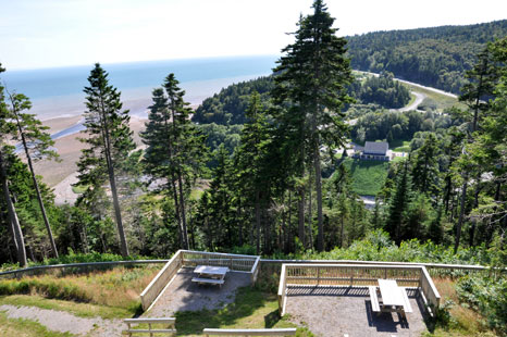
| Interpretive
Centre Lookout: Elevation 328 feet |
|
|
 |
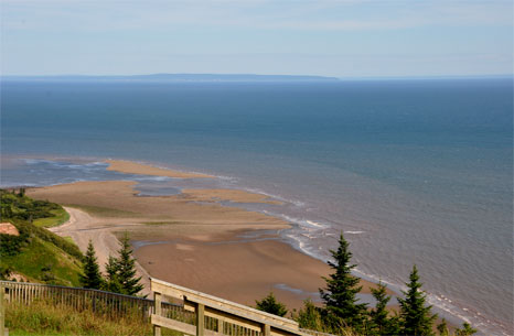
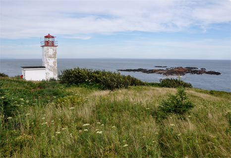
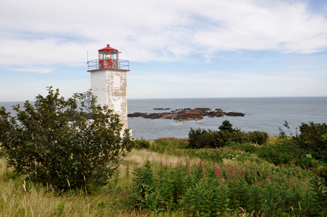
| Long
Beach Lookout |
|
|
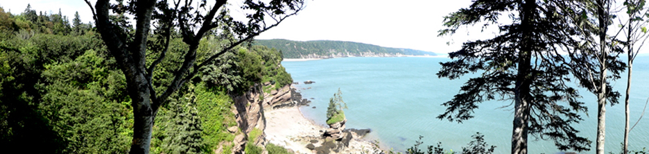
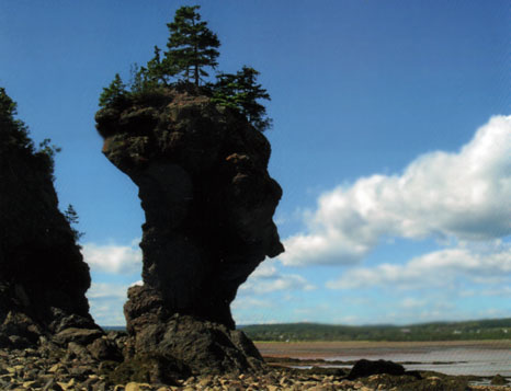
| A
silhouetted flowerpot rock profile which resembles a human face. Taken at
St. Martins, New Brunswick, Canada. The rock is normally viewed from the
other side (facing the road and beach). Visitors can only walk around at
low tide to get a different perspective (shown here). |
|
 The
two RV Gypsies visited 10 areas of New Brunswick listed
in the menu below. You may view them in any order you wish. However, the
page you are on has been grayed out (not underlined) and cannot be chosen from here. There is also a link to PEI below.
The
two RV Gypsies visited 10 areas of New Brunswick listed
in the menu below. You may view them in any order you wish. However, the
page you are on has been grayed out (not underlined) and cannot be chosen from here. There is also a link to PEI below. After
you have seen all 10 of the sections above - Please continue on to the next
adventure of the two RV Gypsies 2011 travels in Canada -
After
you have seen all 10 of the sections above - Please continue on to the next
adventure of the two RV Gypsies 2011 travels in Canada -