|
August
21, 2011 - a very foggy day |
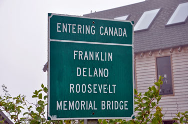
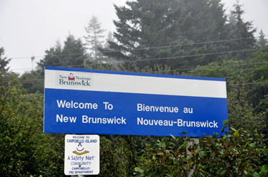
| Over the Lubec
Narrows is the Franklin D. Roosevelt Memorial Bridge which connects Lubec,
Maine (United States) to Campobello Island, New Brunswick (Canada). |
|
|
|
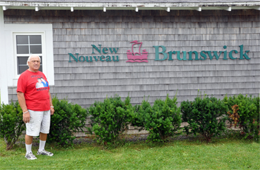
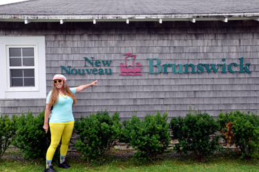
The two RV Gypsies
at the Campobello Island Welcome Center in New Brunswick |
|
|
|
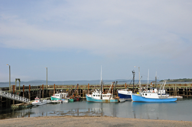
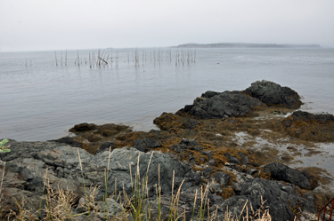
Low Tide |
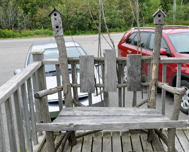
a bird
feeder bench |
|
|
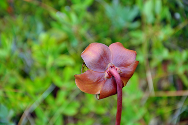
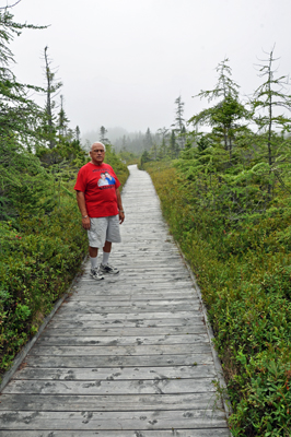
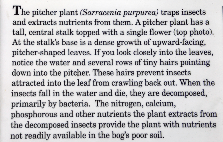
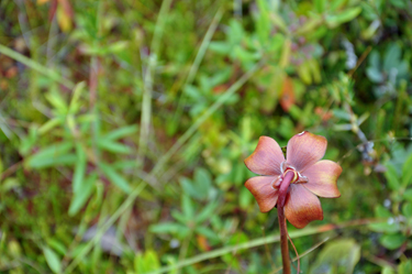
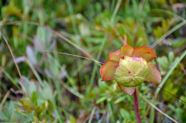
| First
thing the two RV Gypsies did was to take a short hike. The most interesting
part of this hike was the Pitcher Plant, a plant that traps insects. |
|
|
|
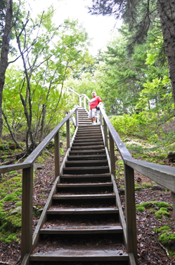
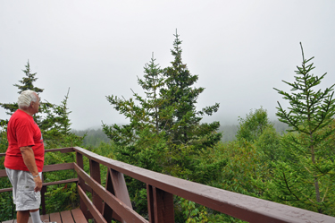
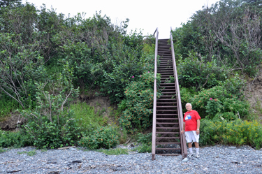
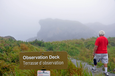
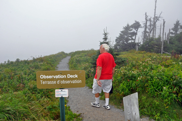
Lee Duquette at the top of the observation
deck- too foggy out to see anything - Bummer! |
|
|
|
|
 |
|
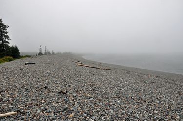
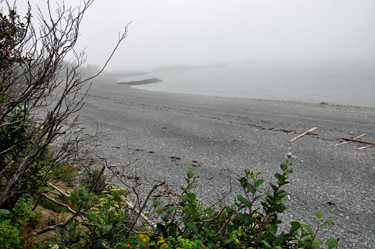
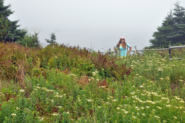
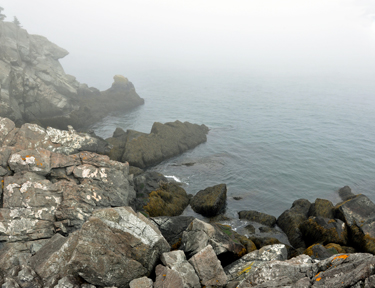
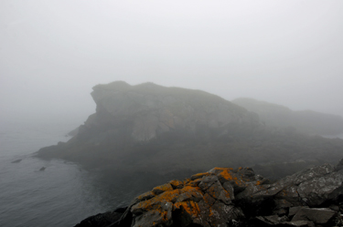
Liberty
Point Drive - 1st stop - Rocky Beach
- a view from each direction - but too foggy to enjoy |
|
|
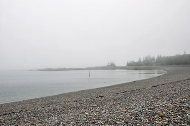
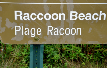
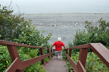
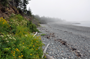
Liberty
Point Drive - 2nd stop - Raccoon Beach |
|
|
|
|
|
|
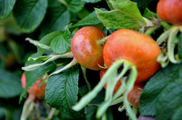
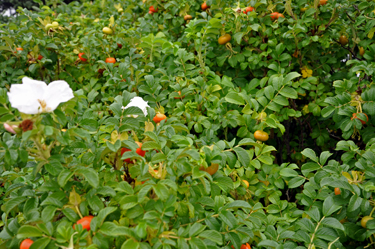
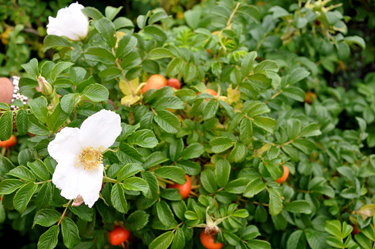
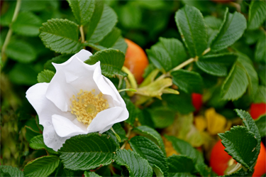
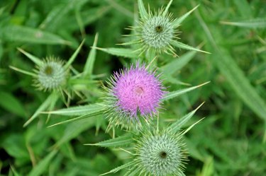
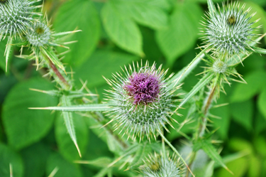
The
rose hip, or rose haw, is the fruit of the rose plant that typically
is red-to-orange, but ranges from dark purple to black in some species.
Rose hips begin to form in spring, and ripen in late summer through autumn.
The little red hips, or berries, of wild roses are easy to spot once the
leaves fall off, and easy to identify because of the thorns on the stems.
Rose hips are used for herbal tea, jam, jelly, syrup, soup, beverages,
pies, bread, wine, and marmalade. They can also be eaten raw like a berry,
IF care is used to avoid the hairs inside the fruit. To make tea, crush
the hips and steep them in hot water but do not boil in order to preserve
the Vitamin C and Vitamin E. |
|
|
|
|
|
|
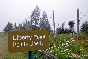
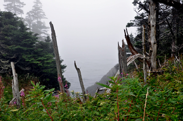
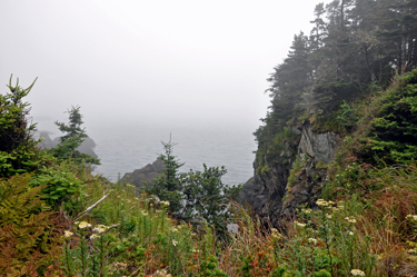
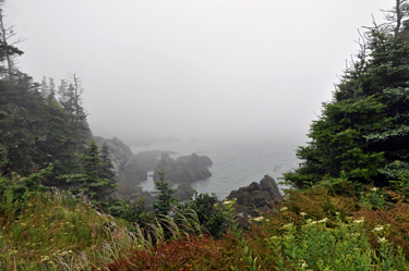
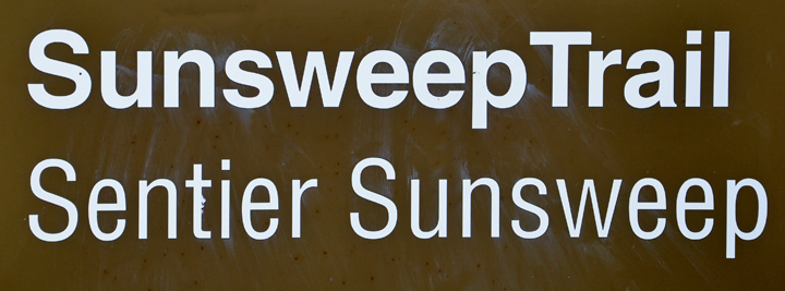
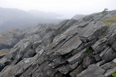
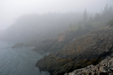
| Liberty
Point Drive - 3rd stop - Liberty Point andSunsweep Trail on a very foggy
day |
|
|
|
|
|
|
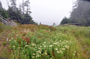
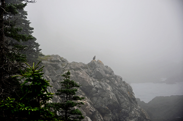
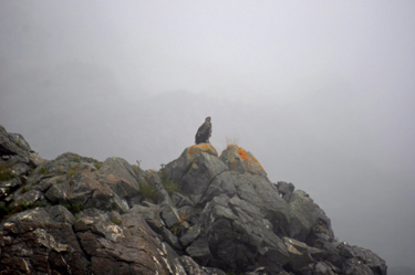
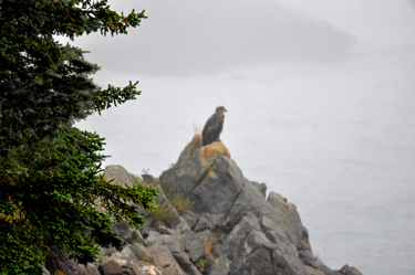
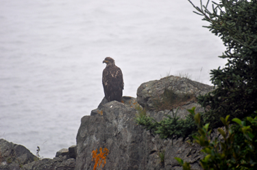
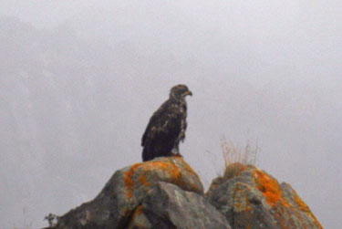
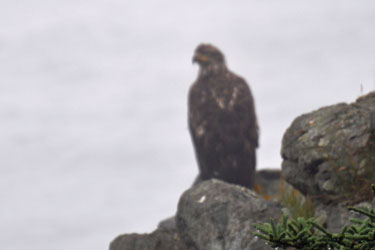
| The two RV Gypsies
saw a big bird and tried to zoom in on it. Then they decided to hike up the
Sunsweep Trail to get a better look at the bird. |
|
|
|
|
|
|
|
|
|
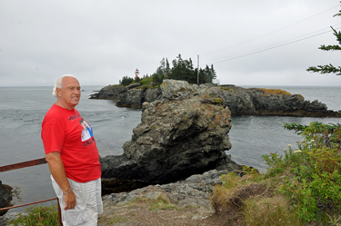
Observation
Deck #1 at Liberty Point |
|
|
|
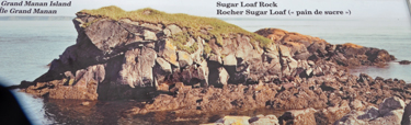
The
two photos below are both of Sugar Loaf Rock |
Below on the left: A display telling
the two RV Gypsies what they were looking at
from the Observation Deck
Below on the right: This is what the
two RV Gypsies actually saw due to the fog. |
|
|
|
|
|
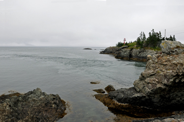
Observation
Deck #2 at Liberty Point |
|
|
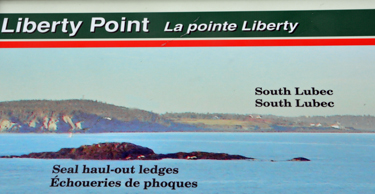
The two photos
below are both of Seal haul-out ledges |
Below on the left: A a display telling
the two RV Gypsies what they were looking at
from the Observation Deck
Below on the right: What the two RV Gypsies
actually saw due to the fog |
|
|
| |
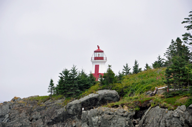
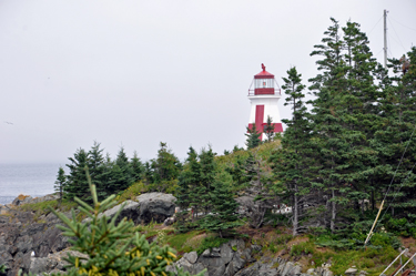
East
Quoddy Lighthouse |
| East Quoddy Lighthouse
is located at the northern point of Campobello Island. The tower is a wooden
octagonal shaped tower. The original lantern room was wood but was replaced
by the current cast iron lantern room in 1887. The
lighthouse and adjacent buildings sit on a small outcropping of rocks
which is accessible by foot for a very short span of time at low tide.
There is only about 1.5 hours to make the crossing to the lighthouse and
get back before the tide starts coming in. Once the tide is in visitors could
be stranded for the 8 hour duration of the tide. There are many signs
explaining the dangers of crossing over to the lighthouse. There are metal
staircases which aid visitors in making the crossing but many of the rocks
are reported to be very slippery.
|
|
|
| Unfortunately,
the two RV Gypsies arrived at the East Quoddy Lighthouse at high tide, so
they could not get to the lighthouse. |
|
|
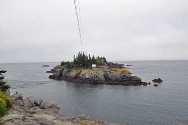
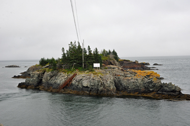
| Below: From a view just
up the hill this appears to be a small island but the tide is in and this
is not the time to be caught near the lighthouse! Notice the red
handrails coming out of the water. The Lighthouse is hid behind
the trees in these photos. |
|
|
|
|
|
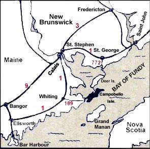
 Campobello
Island is a Canadian island located at the entrance to Passamaquoddy Bay
adjacent to the entrance to Cobscook Bay and within the Bay of Fundy. The
island is part of Charlotte County, New Brunswick, but is actually physically
connected by the Franklin Delano Roosevelt Bridge with Lubec, Maine - the
easternmost tip of the continental United States.
Campobello
Island is a Canadian island located at the entrance to Passamaquoddy Bay
adjacent to the entrance to Cobscook Bay and within the Bay of Fundy. The
island is part of Charlotte County, New Brunswick, but is actually physically
connected by the Franklin Delano Roosevelt Bridge with Lubec, Maine - the
easternmost tip of the continental United States.


 The
two RV Gypsies visited 10 areas of New Brunswick listed
in the menu below. You may view them in any order you wish. The page you
are on has been grayed out (not underlined) and can NOT be chosen from here.
There is also a link to PEI at the bottom of this page.
The
two RV Gypsies visited 10 areas of New Brunswick listed
in the menu below. You may view them in any order you wish. The page you
are on has been grayed out (not underlined) and can NOT be chosen from here.
There is also a link to PEI at the bottom of this page. After
you have seen all 10 of the sections above - Continue on to the next adventure
of the two RV Gypsies 2011 travels in Canada -
After
you have seen all 10 of the sections above - Continue on to the next adventure
of the two RV Gypsies 2011 travels in Canada -