| The view from
the two RV Gypsies' RV at Ponderosa Pines Campground at Hopewell Rocks,
New Brunswick - a pond, marsh, and cliffs at Hopewell Rocks. A view
from another window was just the marsh in front of the Bay of Fundy. And to make
it even more special, a groundhog lived in the bushes by the pond right
in front of the two RV Gypsies' RV spot. |
|
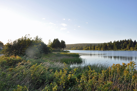
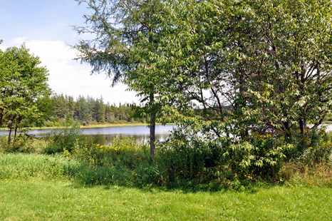
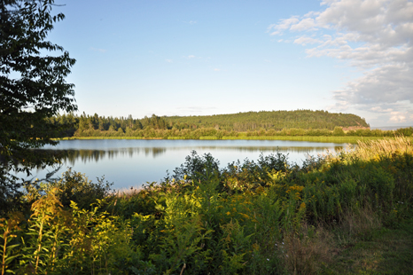
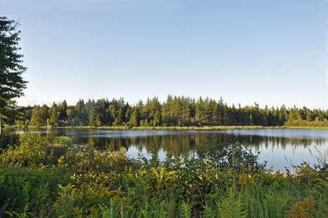
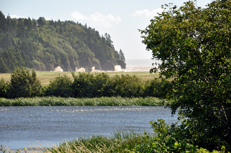
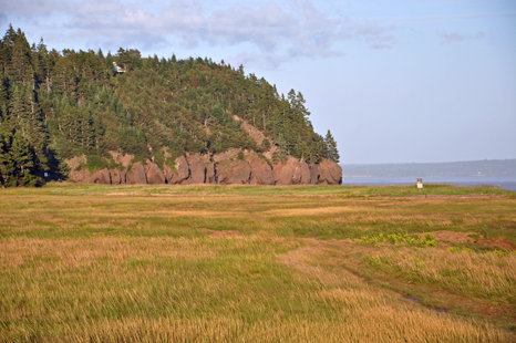
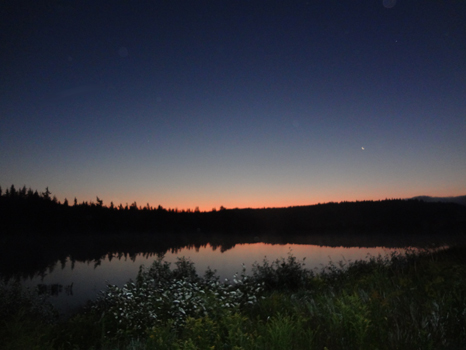
| Below
are several photos taken out of various windows of the two RV Gypsies' RV
at their campsite at Ponderosa Pines Campground shortly after their arrival.
Notice that the pond is smooth as can be. The cliff beyond
the pond is actually part of Hopewell Rocks (the place in the photos on
a previous page) |
|
|
|
|
|
|
| Below:
A few days later Tropical Storm Irene began to show her wind force as she
made small ripples in the pond. |
|
|
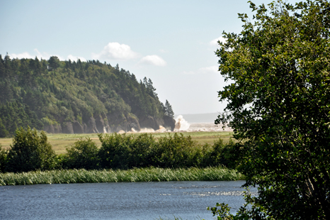
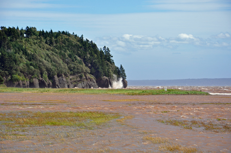
| Below:
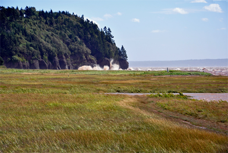
As Tropical Storm Irene continued, waves started to pound up over the cliffs
beyond the pond. The boulder in the corner of the cliff is about 60
feet high, not counting the height of the trees - so that means
that the waves also reached around 60 feet high. (As you saw on a previous
page of photos at Hopewell Rocks, all boulders are huge). Remember these
photos are taken from quite a distance away. |
|
|
|
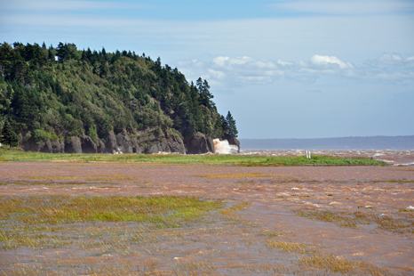
| Below:
As Tropical Storm Irene continued, water from the Bay of Fundy started creeping
into the marsh grass as the waves continued to pound the cliffs. |
|
 |
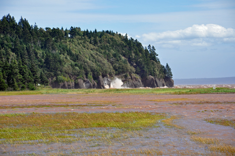
| At
first the waves were only pounding on the edge of the cliff, but soon the
waves broke further inland and the water came further into the marsh. |
|
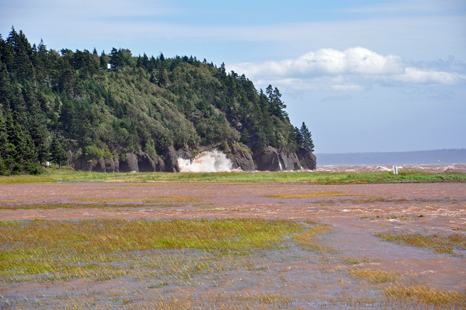
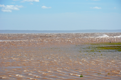
| Below:
Soon water from the Bay of Fundy covered most of the marsh grass as the
waves continued to get bigger as they pounded the cliffs. |
|
|
|
|
|
Below: As the storm cleared,
the marsh grass came back into sight and eventually things dried
out and looked green again. |
|
 |
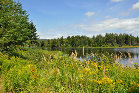
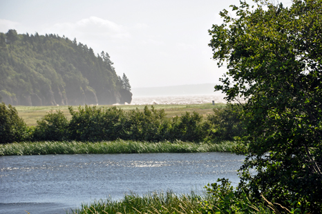
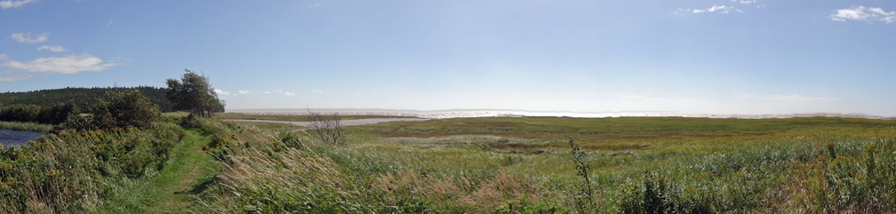
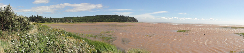
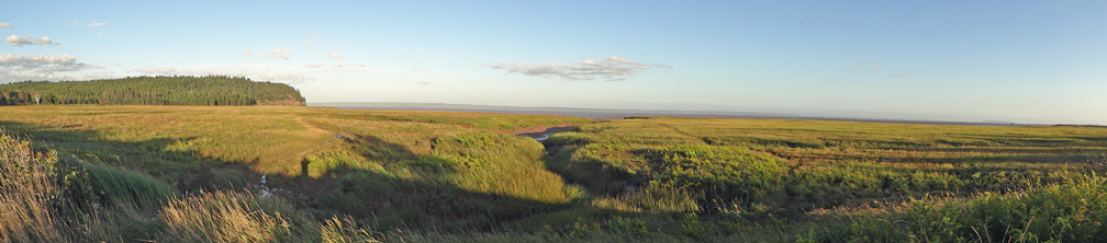
| Oh wait - the above photos were all of the pond to the side of the RV. But a lot more action happened in the marsh and the Bay of Fundy in front of the two RV Gypsies' RV. These photos
are even more amazing. The panorama photo below shows mostly the marsh
and a bit beyond the marsh that is a bit of the Bay of Fundy. |
|
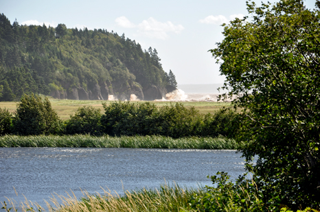
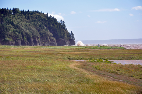
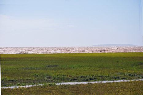
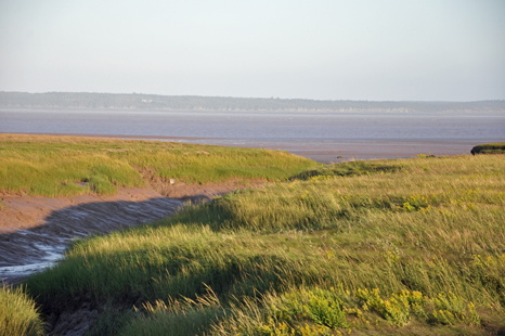
| The
road beside the two RV Gypsies that led to the marsh and the Bay of Fundy
- As Tropical Storm Irene continued, the water started to enter the marsh. |
|
|
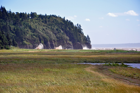
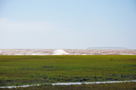
| The
waves got bigger and stronger. The water actually started to form a river
in the middle of the marsh. |
|
|
|
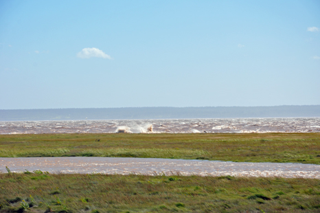
And
the flowing stream of water in the middle of the marsh grew bigger and bigger. |
|
|
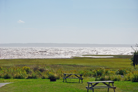
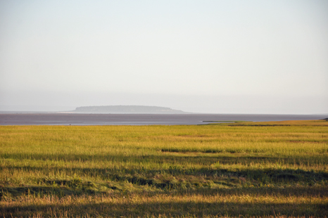
| The marsh totally became part of the Bay of Fundy. |
|
|
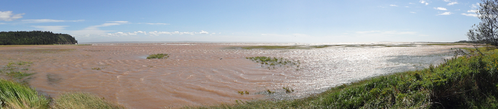
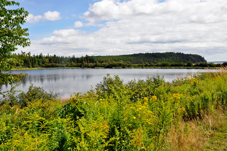
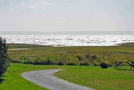
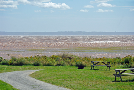
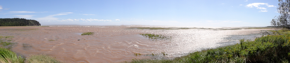
| This panorama
view below shows that the Bay of Fundy finally covered the marsh completely. At the left
of the photo is the same cliff that is part of Hopewell Rocks. |
|
|
 |
As Tropical Storm Irene left
the area, the marsh and the Bay of Fundy started to return to normal.
|
|
|
|
|
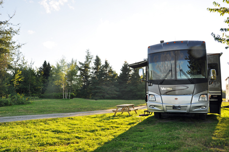
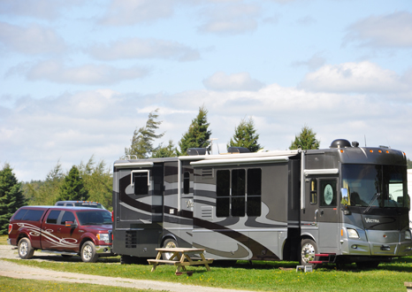
The
RV and toad of the two RV Gypsies safe and sound.
|
|
|
|
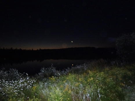
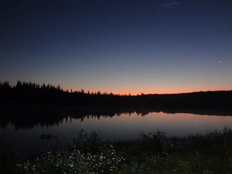
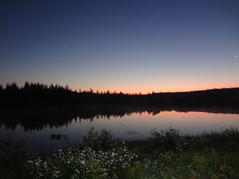
Lee Duquette tried to photograph a sunrise the
next morning but the clouds did not really cooperate. |
|
|
|
|
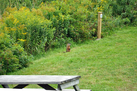
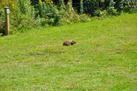
| The
resident groundhog. It loved to feed right in front of the two RV Gypsies'
RV. However the groundhog did not come out to feed for two days because
of Tropical Storm Irene. |
|
|


 The
two RV Gypsies visited 10 areas of New Brunswick listed
in the menu below. You may view them in any order you wish. (The page you
are on has been grayed out (not underlined) and cannot be chosen from here.
There is also a link to PEI below.
The
two RV Gypsies visited 10 areas of New Brunswick listed
in the menu below. You may view them in any order you wish. (The page you
are on has been grayed out (not underlined) and cannot be chosen from here.
There is also a link to PEI below. After
you have seen all 10 of the sections above - Continue on to the next adventure
of the two RV Gypsies 2011 travels in Canada -
After
you have seen all 10 of the sections above - Continue on to the next adventure
of the two RV Gypsies 2011 travels in Canada -