


| |
|
|
|
|
|
|
|
|
|
|
|
|
|
|
|
There is a video of Fort Knox and the tunnels that can be reached from the TOC button above. |
||
 |
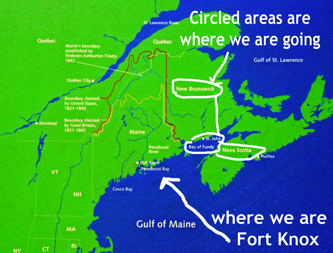
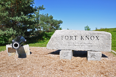
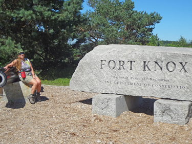
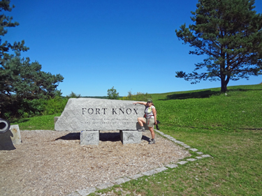
The two RV Gypsies explored Fort Knox in Prospect, Maine |
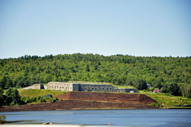 |
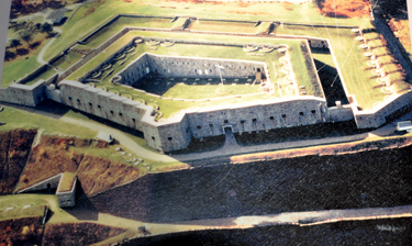
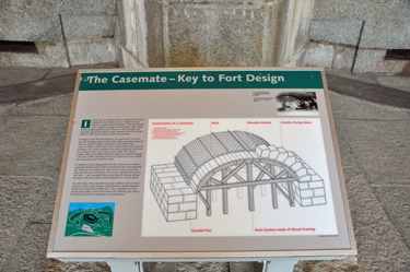
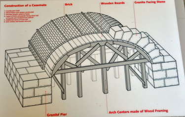
Fort Knox in Maine was built from 1844-1869. It is located on the western bank of the Penobscot River in the town of Prospect, Maine, about 5 miles from the mouth of the river. It was the first fort in Maine built of granite (instead of wood). It is named after Henry Knox, the first US Secretary of War, who at the end of his life lived not far away in Thomaston, Maine. The fort was designated a National Historic Landmark in 1970. Construction began during a period of tension between the United Kingdom and the United States over issues about the Canadian border following the Aroostook War. The intent was to defend the Penobscot River and Bangor, Maine, a major source of shipbuilding lumber. Construction funding from Congress was intermittent, and the fort's design was never fully completed although nearly a million dollars were spent. Granite was quarried five miles upriver from Mount Waldo in Frankfort, Maine. The fort was manned during the U. S. Civil War by volunteers from Maine. The fort never saw battle! |
|
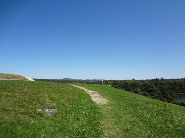
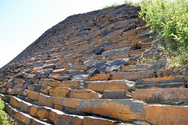
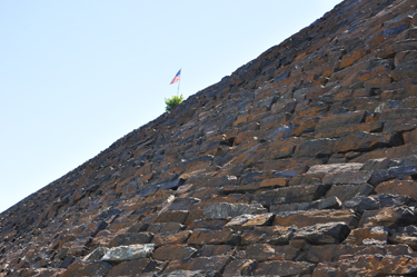
Before going to explore Fort Knox, the
two RV Gypsies stopped for a picnic lunch at the bottom of the hill shown
below. Then they walked up that hill and got a wonderful view. |
|
|
|
 |
|
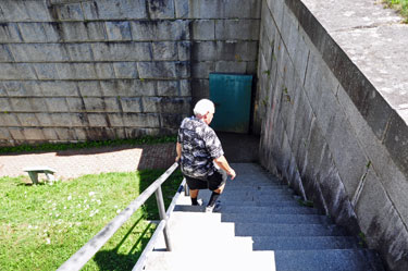
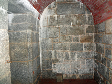
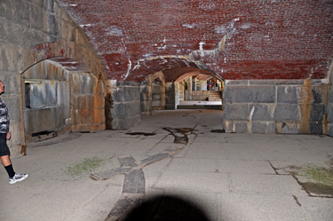
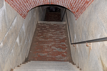
| Below: Immediately to the left of the view above, the two RV Gypsies noticed steps leading down into Fort Knox. The door to the right and the door to the left both led to tunnels. The tunnels were very dark and the two RV Gypsies wished that they had a flashlight with them. The flash on the camera allowed photos to be taken despite the darkness. | |
 |
 |
 |
 |
 |
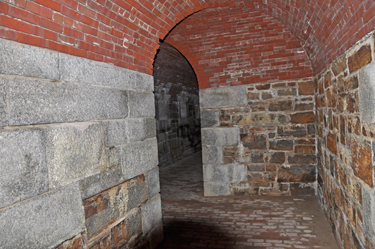 |
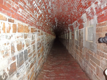
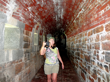
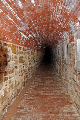
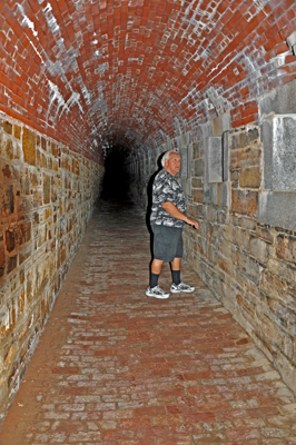
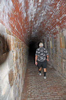
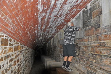
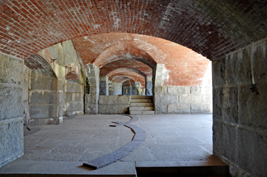
Below: These tunnels were very dark as seen in the video above (photos aren't dark because of the flash on the camera). The brick floor was uneven and the two RV Gypsies had to walk carefully in order to avoid tripping. |
 |
 |
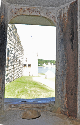
Of course there were openings
where cannons used to be. |
|
 |
 |
 |
 |
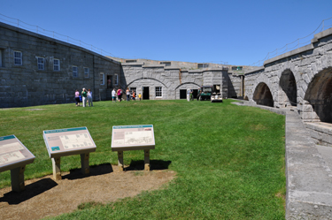
| Below: An opening took the two RV Gypsies outside and Karen Duquette photographed a map of the fort. The map shows how long the sides of the fort are - those are the tunnels. | |
 |
|
 |
|
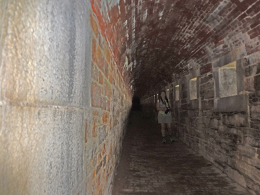
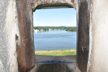
| Below: The two RV Gypsies went back into more tunnels that had openings in the sides. At last, some light! | |
 |
 |
 |
|
 |
 |
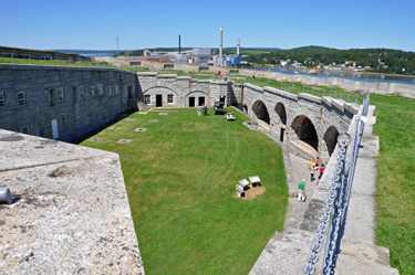
| Then the two RV Gypsies exited the tunnel through a side opening (shown on the right side of the below photo) and found themselves outside in a small courtyard. | |
 |
|
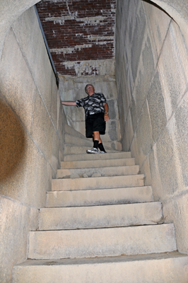
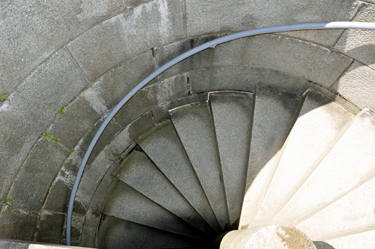
Below: Lee Duquette climbed
up the staircase, then around the corner to a spiral staircase. |
|
 |
|
Below: The two RV Gypsies
found themselves topside and outside and looking downward at the spiral
staircase they just climbed. |
|
 |
|
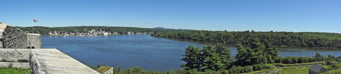
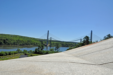
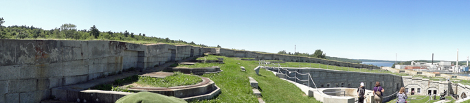
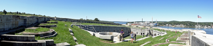
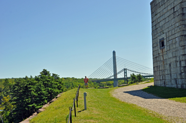
Below: Views from the topside
of the Penobscot Narrows Bridge and the Fort Knox courtyard. |
|
 |
 |
 |
|
 |
|
 |
|
| The the two RV Gypsies went back down the stairs, through the courtyard, and down more stairs to the outside of the fort by the Gulf of Maine. | |
 |
|
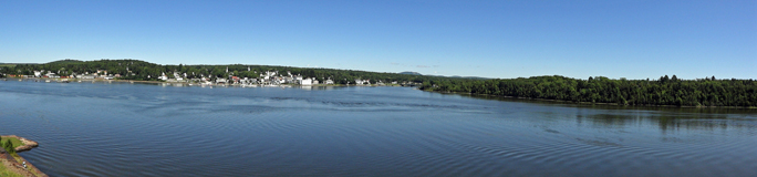
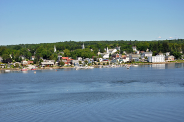
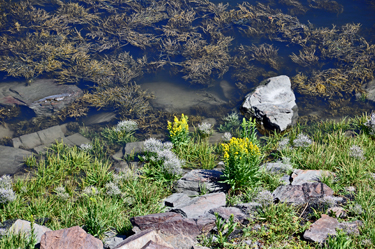
Looking across the Gulf of Maine |
Looking down the ledge at flowers in the water. |
 |
 |
Below: View from outside
by the Gulf of Maine, looking up at the outside wall of Fort Knox. |
|
 |
 |
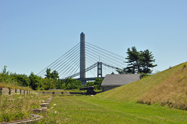
Below: The two RV Gypsies
walked up the hill and got another view of the Penobscot Narrows Bridge |
|
 |
 |
 |
|
 |
 |
 |
|
 |
 |
 The state of Maine Main Menu The state of Maine Main Menu
|
|
|
You may view the sub-menus below in any order that you choose. |
|
|
Bubble
Rock at Acadia National Park |
|
|
Fort Knox |
|
|
Thunder
Hole at Acadia National Park |
Cadillac
Mountain at Acadia National Park |
|
a
Scenic Overlook at Acadia National Park |
|
 After you have visited all ten (11) sections above
- please continue on
to Lubec, Maine - the easternmost town in the contiguous United States
After you have visited all ten (11) sections above
- please continue on
to Lubec, Maine - the easternmost town in the contiguous United States
|
 http://en.wikipedia.org/wiki/Fort_Knox_(Maine)