|
|
|
|
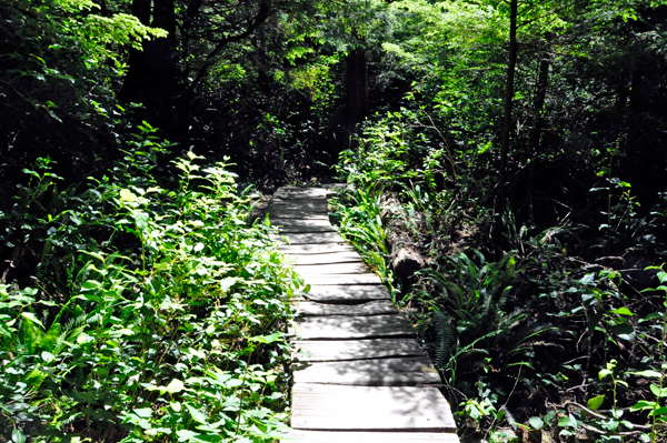
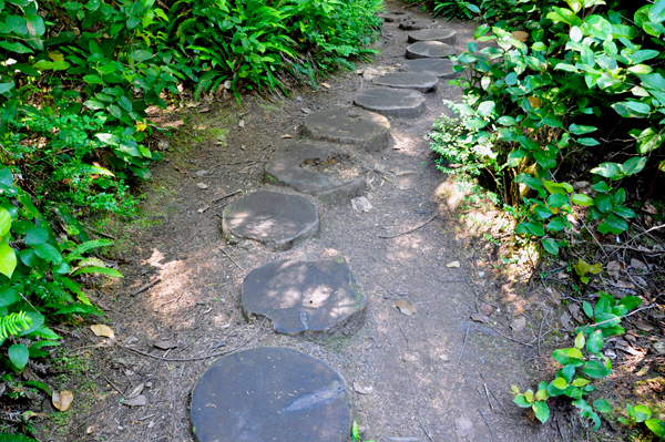
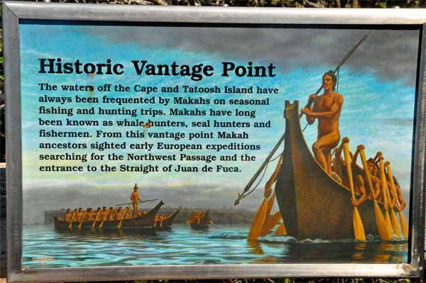
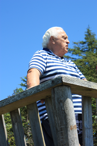
Cape Flattery Trail is a moderate hike
via a cedar plank boardwalk, some stepping stones, and a few rocky areas
that provided views of the Tatoosh Island Lighthouse, the Pacific Ocean
and the Strait of Juan de Fuca. There was no fee to hike the trail,
but a Recreation Permit must be purchased to enter the Reservation. |
|
|
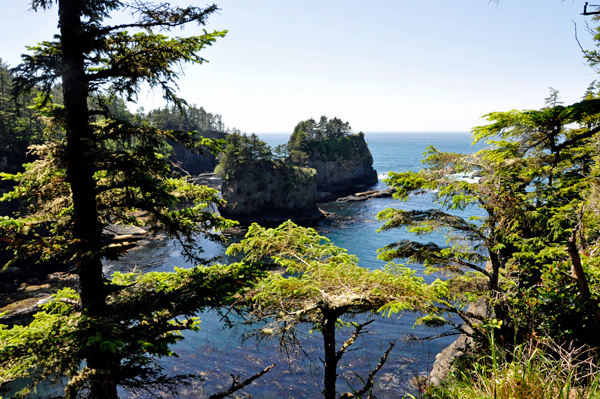
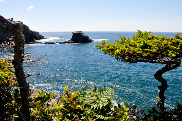
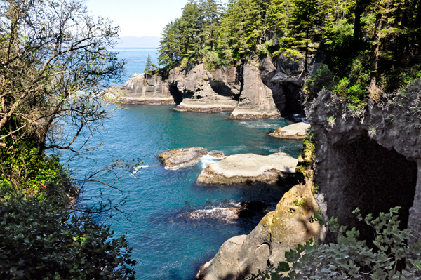
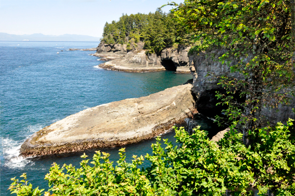
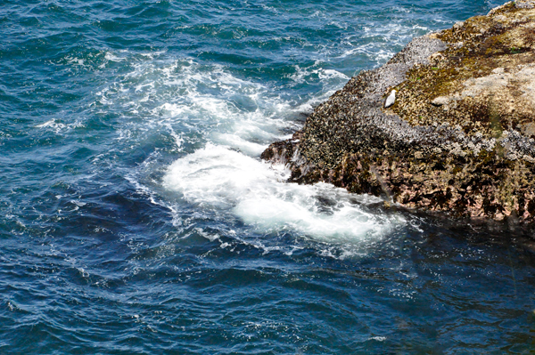
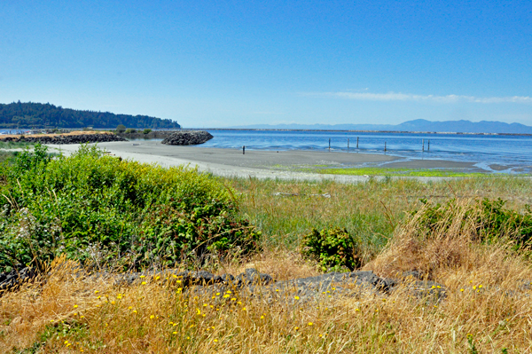
Below: Beautiful views |
|
|
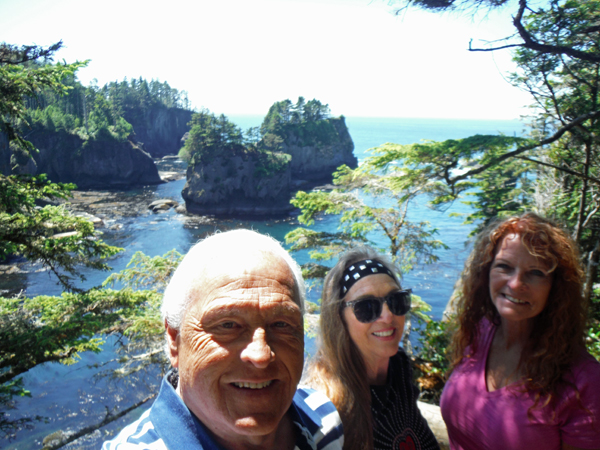
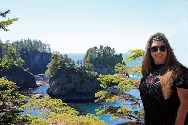
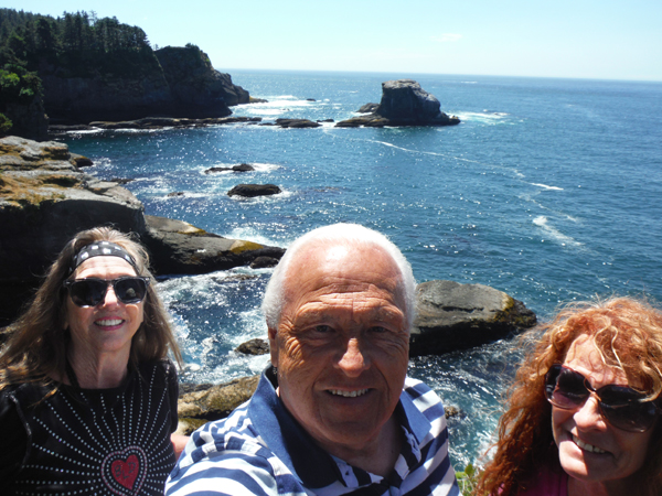
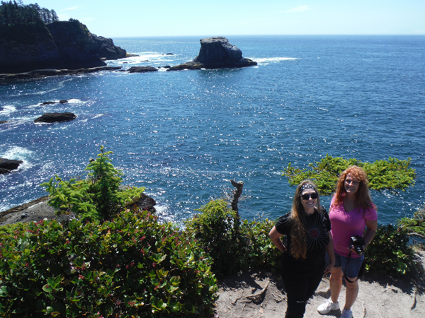
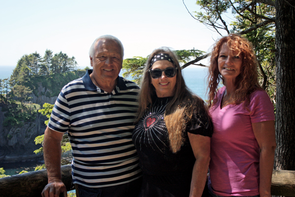
Below: Lee Duquette, Karen
Duquette and Ilse Blahak. Karen Duquette is wearing her "heart"
shirt in honor of her son, Brian Duquette
because June 27th is Brian's birthday, and he is celebrating it in Heaven.
The two RV Gypsies really feel the pain on this day (and all days really),
although they must smile and continue on with their lives, if they are
with other people. |
 |
 |
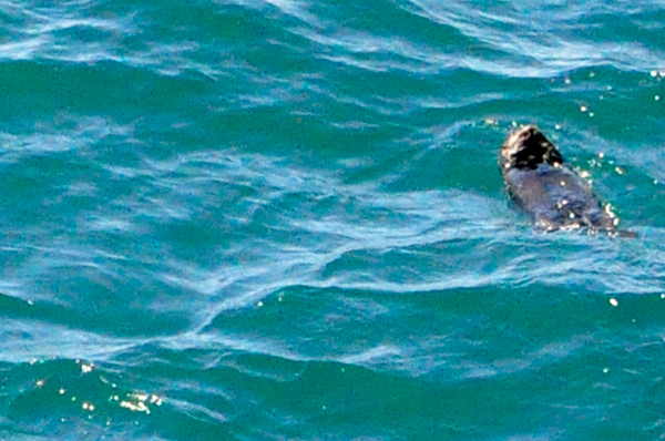
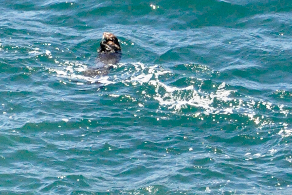
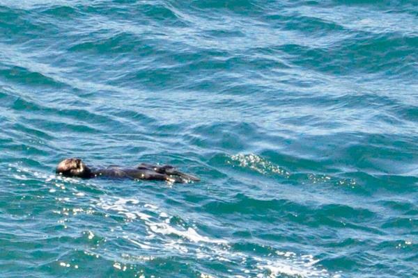
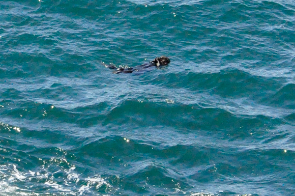
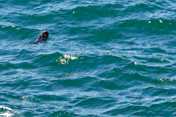
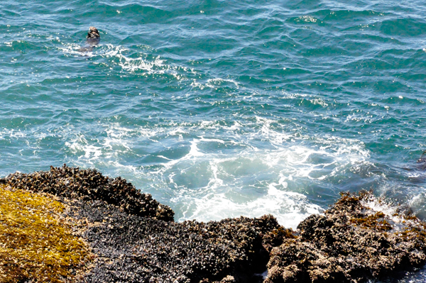
Below: A sea otter relaxing in the cool
waters |
 |
 |
 |
 |
|
|

|
|
|
 |
|
|

|
|
 |
 |
 |
|
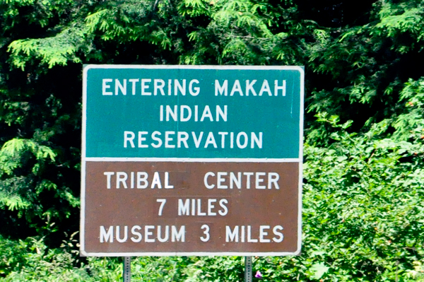
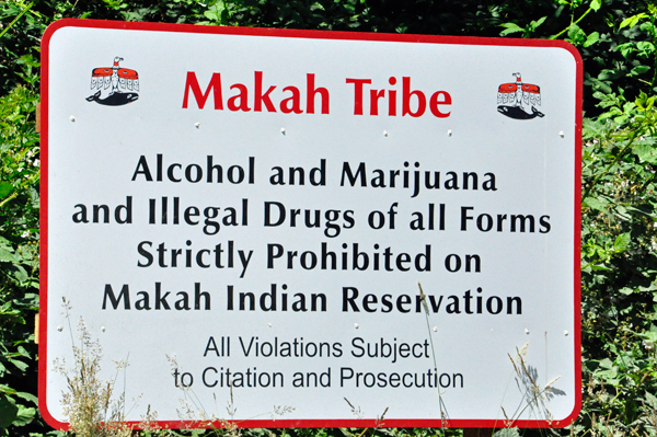
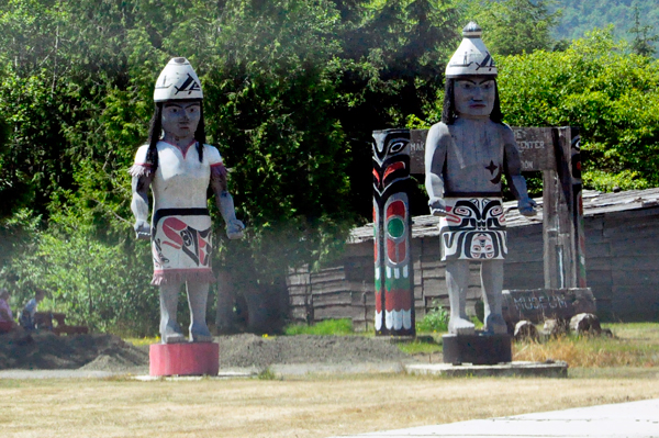
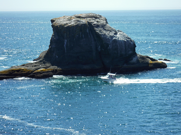
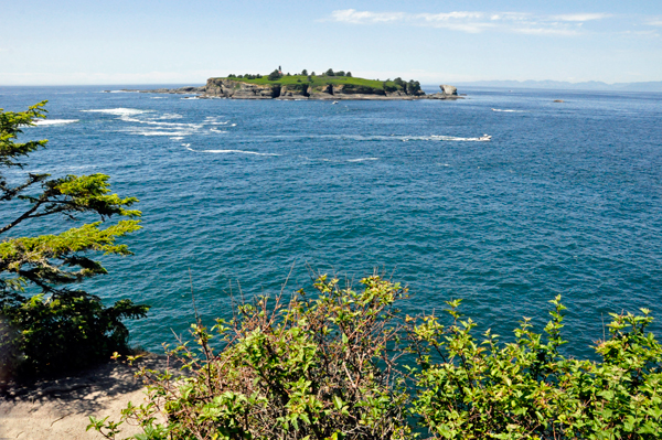
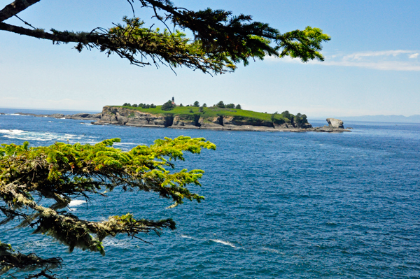
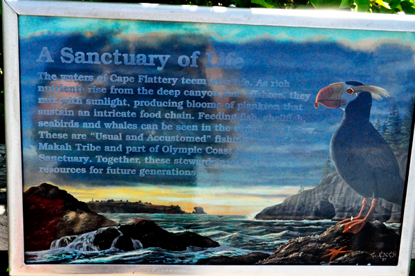
Below: Tatoosh Island is
a sacred place for the Makah, Indigenous people of the Pacific Northwest
Coast living in Washington, in the northwestern part of the continental
United States. They are enrolled in the federally recognized Makah Indian
Tribe of the Makah Indian Reservation, commonly known as the Makah Tribe. |
|
|
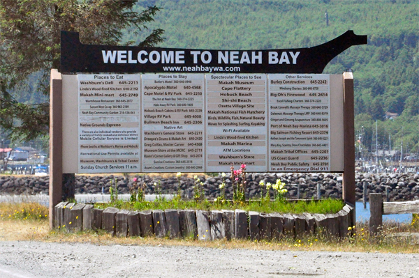
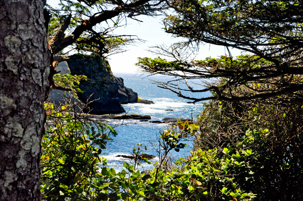
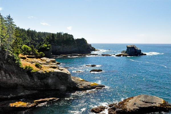
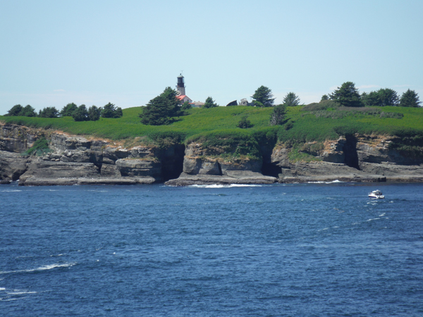
Below: The Cape Flattery Lighthouse on
Tatoosh Island, just off the cape. Makah Bay and Neah Bay are on either
side of the cape. Neah Bay, Washington is the closest town to the cape. |
 |
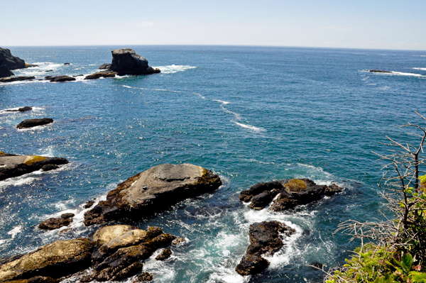
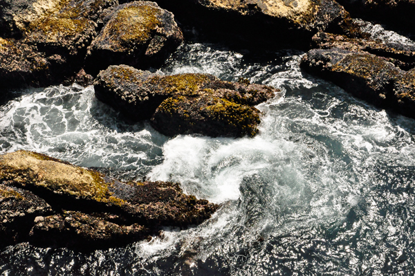
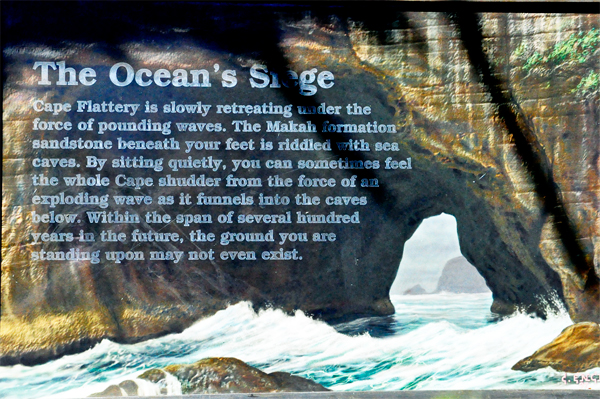
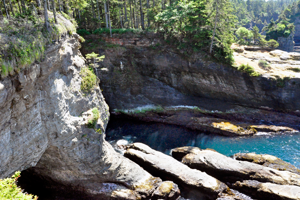
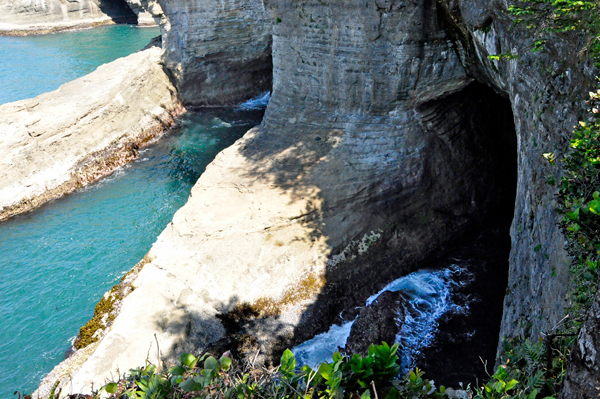
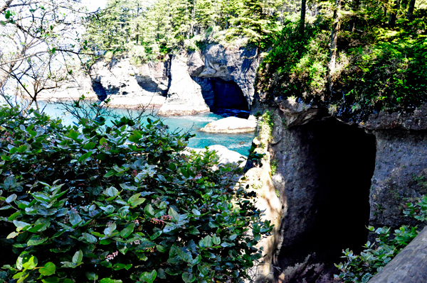
Below: Different views of the Sea Caves
at Cape Flattery |
|
|
 |
 |
 |
 |
|
 |
|
|
|
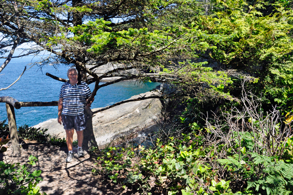
Below: Leaving Cape Flattery, Lee Duquette
found the perfect spot for a picnic lunch. |
|