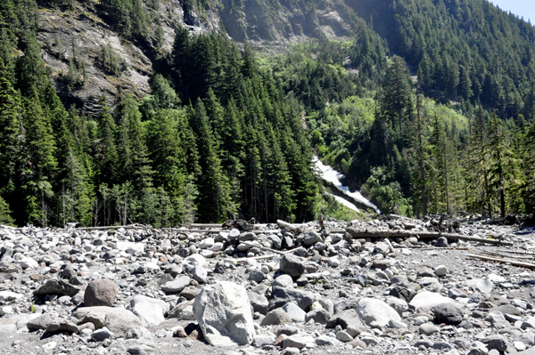
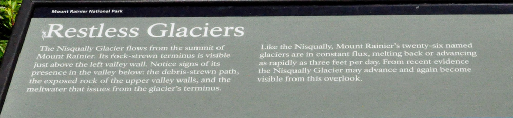
Active steam vents, periodic
earth tremors, and historic eruptions provide evidence that Mount Rainier
is sleeping, not dead. Seismic monitoring stations around the mountains
should provide days or weeks of advance warning of impending eruptions.
Other geologic hazards, however, can occur with little warning, including
debris flows and falling rocks. |
|
|
|
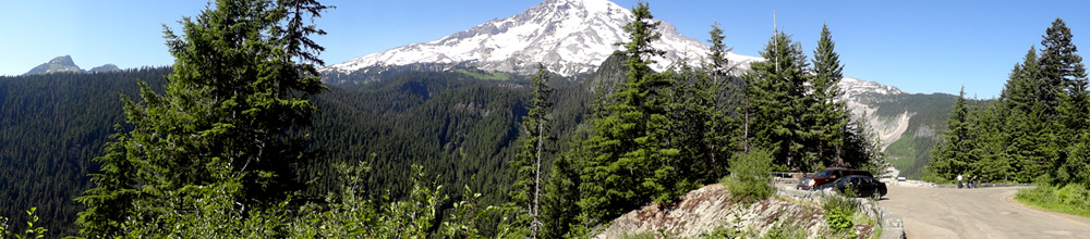
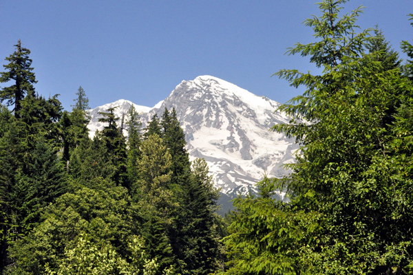
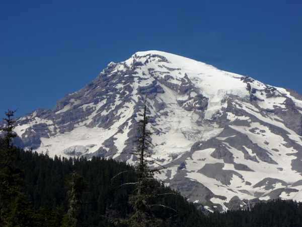
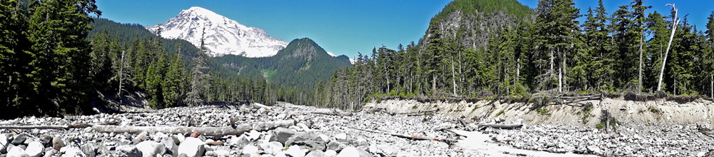
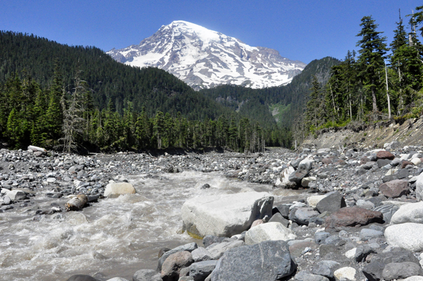
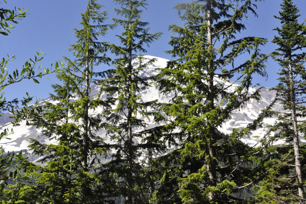
At 14,410 feet high, Mount Rainier is the tallest peak in the Cascade Range and an icon of the Pacific Northwest. While the mountain's well-known profile is visible for many miles in any direction, its alpine glacier-clad slopes occupy only a third of Mount Rainier National Park. |
|
|
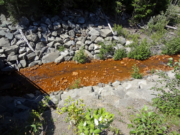
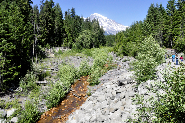
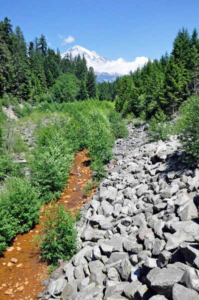
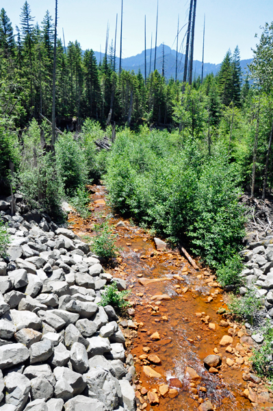
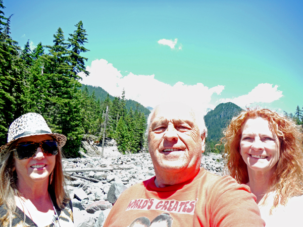
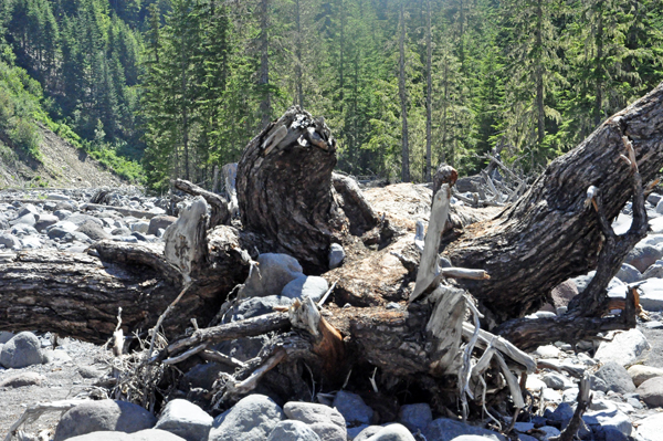
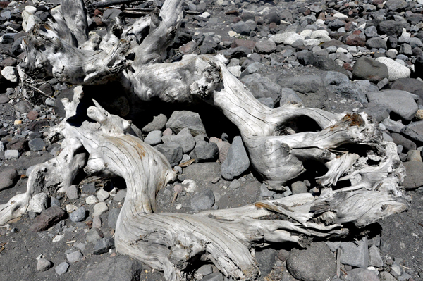
Kautz Creek in Rainier National Park - elevation 2,409 feet |
Below: View from the road of Kautz Creek and the tip of Mt. Rainier. This part of Kautz Creek trail is a short, wheelchair accessible boardwalk and viewpoint. |
|
|
|
|
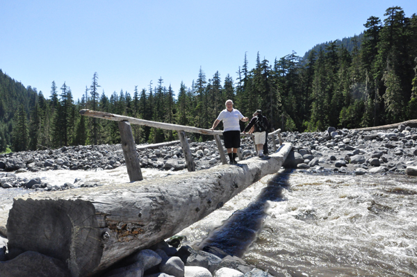
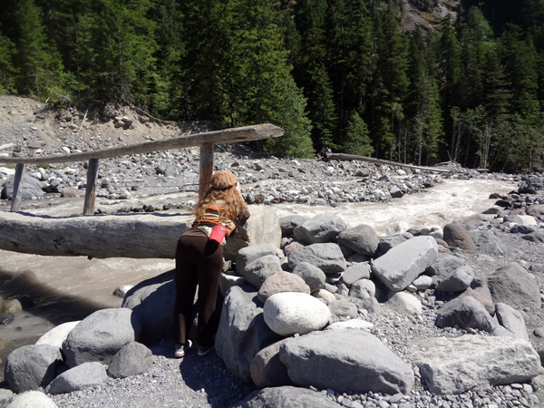
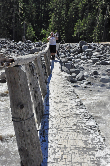
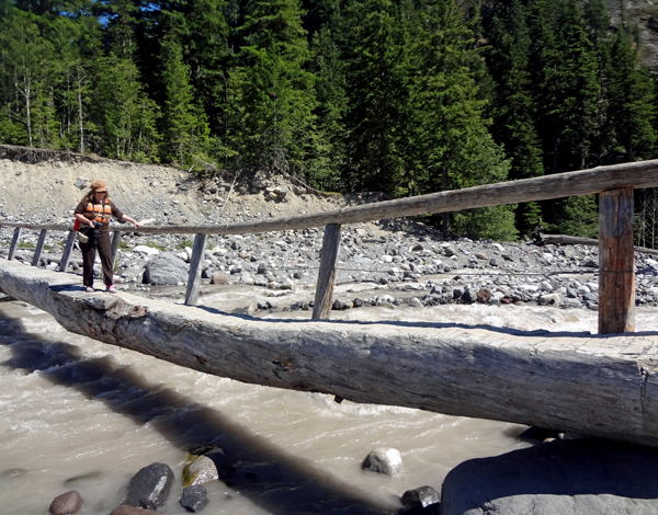
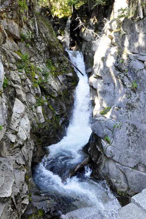
Carter Falls Trail - Lee and
Karen Duquette decided not to worry about getting to the falls because
it was so rocky, and they figured that the trail must get steep after
the log bridge. Their main interest at this time was the log bridge.
Remember that these are a combination of 2013 and 2015 pictures, so
the coloration may be different from one photo to another. |
|
|
Below: The same area - in 2013 (Lee Duquette) and in 2015 (Karen, Lee, and Karen's sister Ilse) |
|
|
|
|
|
|
|
 |
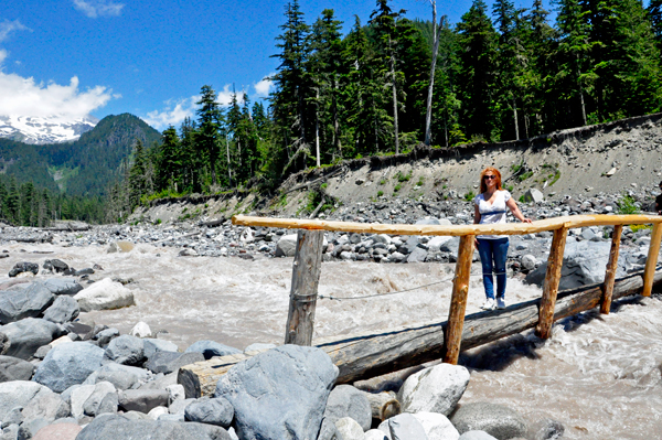
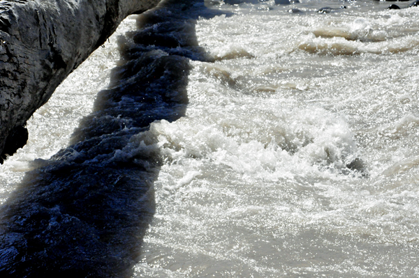
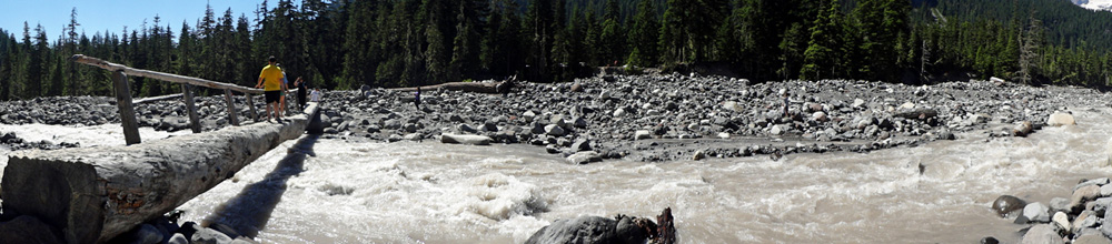
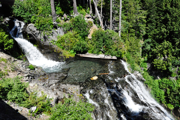
View of the river from each side of the log bridge |
|
|
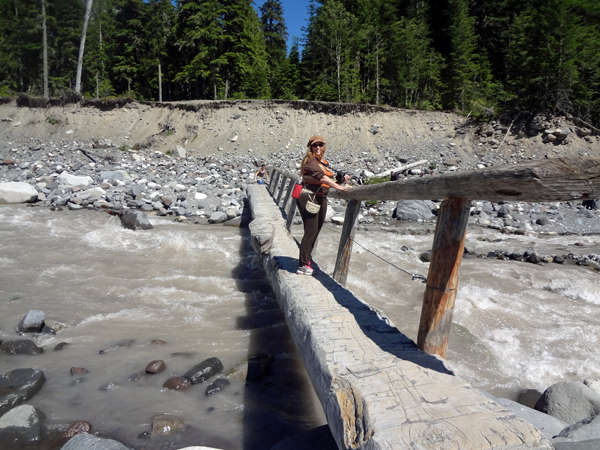
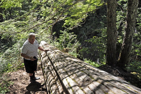
Lee Duquette on the log bridge - yes it shook a bit when several people were on it, but not as much as many of the suspension bridges that the two RV Gypsies have been on. But this was a bit different from the regular suspension bridges because it could be easy to fall off of. |
|
|
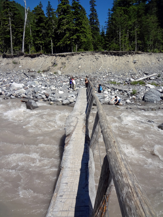
Below: Karen's sister, Ilse Blahak on
the bridge in 2015 |
|
|
Below: Karen Duquette steadied
her camera on the log bridge to photograph the water flowing underneath,
while Lee Duquette photographed her backside. |
|
|
|
|
|
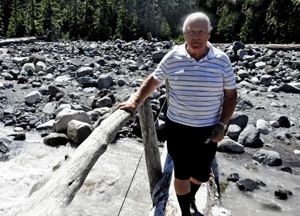
Lee and Karen Duquette walked
across the log bridge, took some photos and returned to the parking
lot. They decided not to try and find the actual falls. |
|
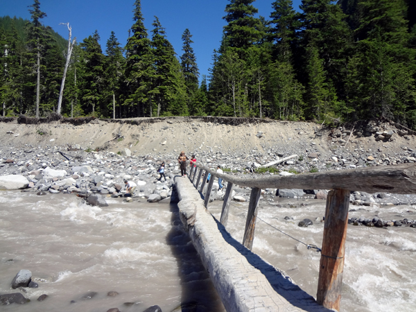
Below: Karen Duquette coming
back over the log bridge |
|
|
|
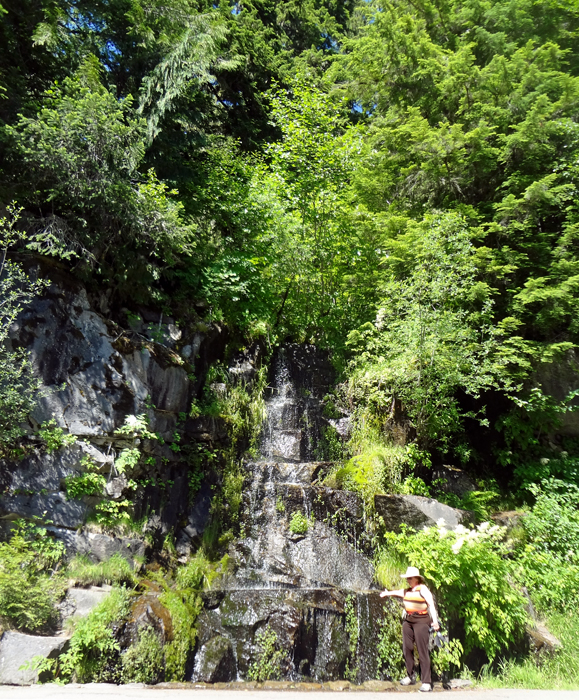
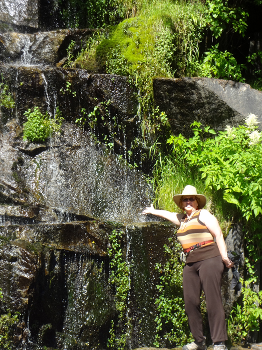
Below: Karen Duquette felt
the temperature of a cascade of water by the roadside |
|
|
|
|
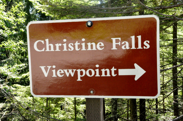
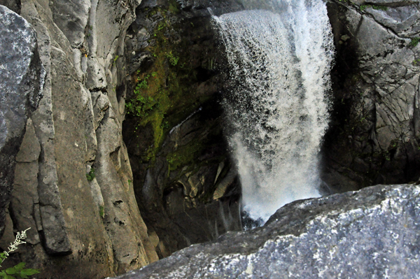
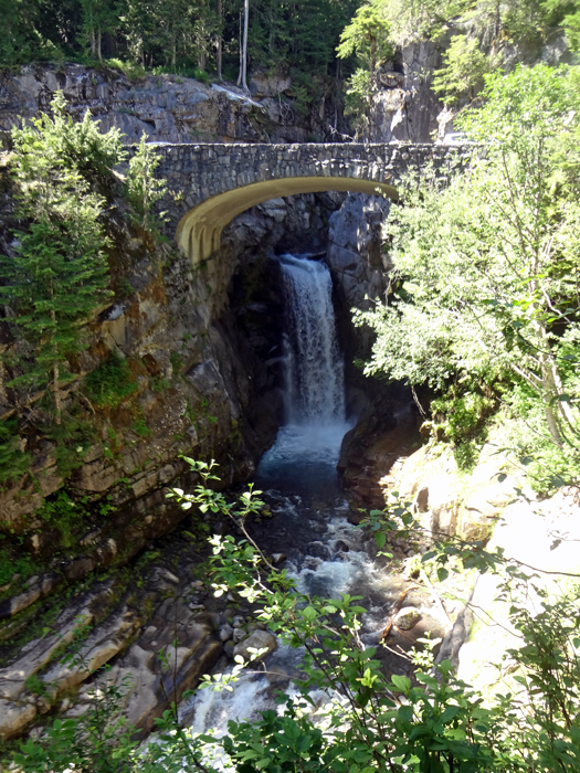
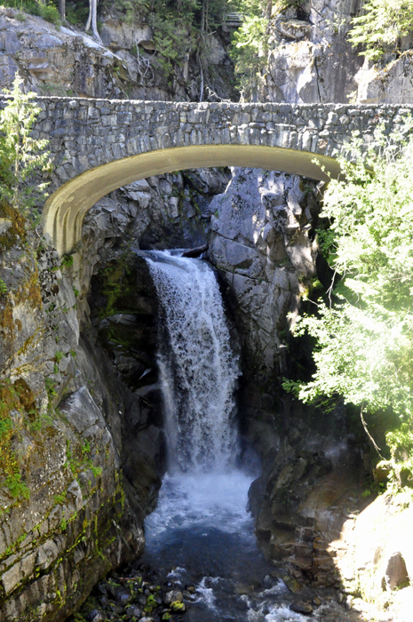
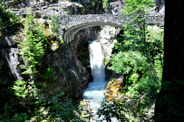
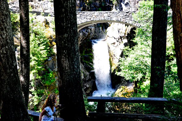
Below: Lee and Karen Duquette
viewed Christine Falls from the roadside bridge. |
|
|
Then Lee and Karen Duquette
walked down a short but steep hill to look at Christine Falls as it
flowed under the roadside bridge. (2013) |
|
|
|
|
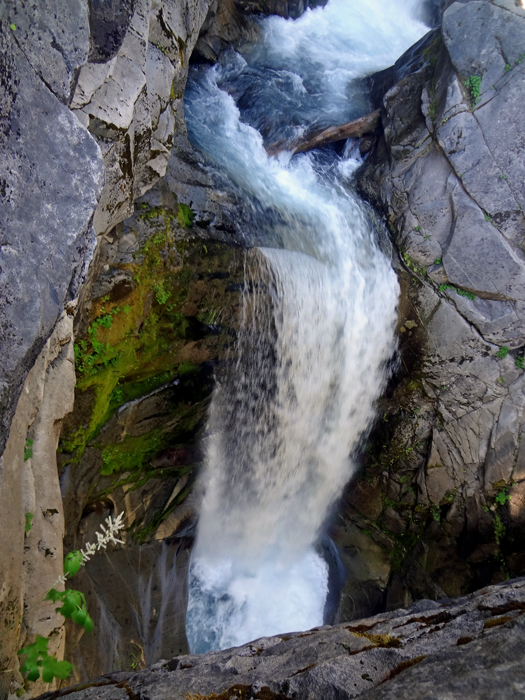
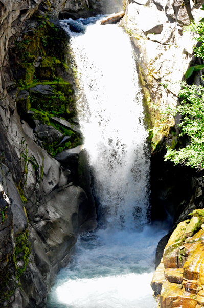
Below: 2015 photos of Christine Falls |
|
|
|
Below: Karen Duquette took a photo of Lee Duquette,
who was a few feet below her on the viewing platform at Christine
Falls.
|
|
|
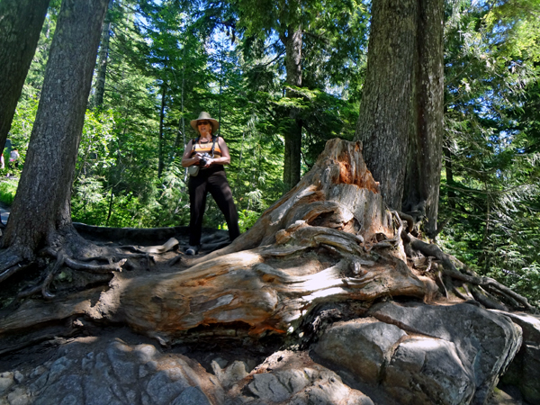
Below: Lee Duquette checked
out a big tree laying on the ground by Christine Falls. But he could
not see over the big tree to take any more photos. |
|
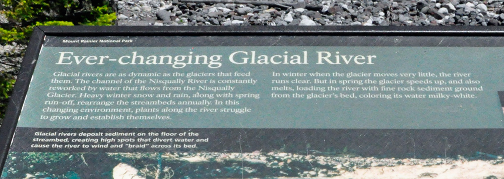
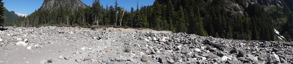
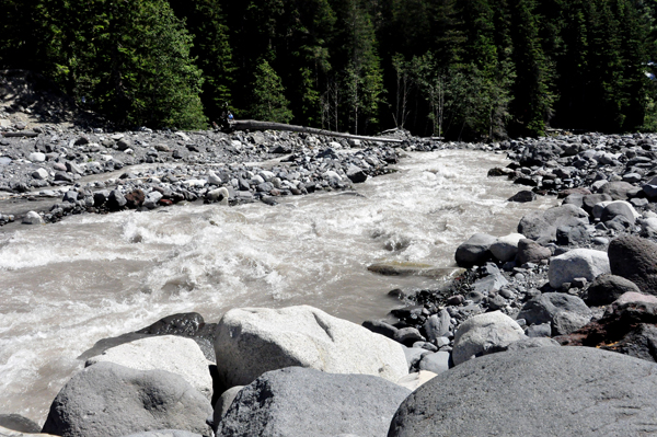
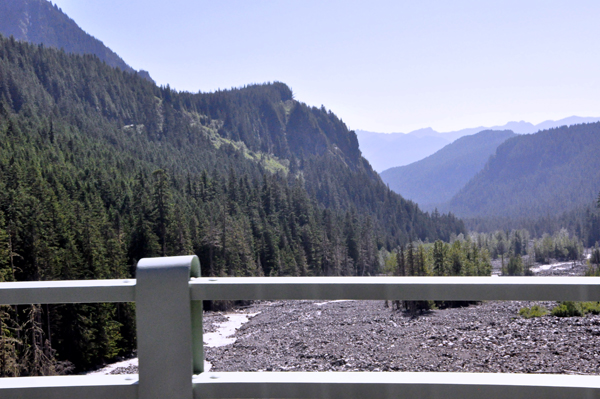
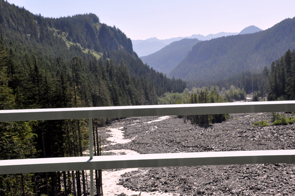
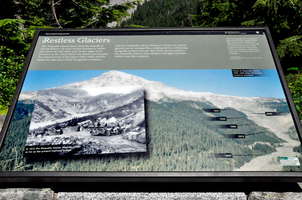
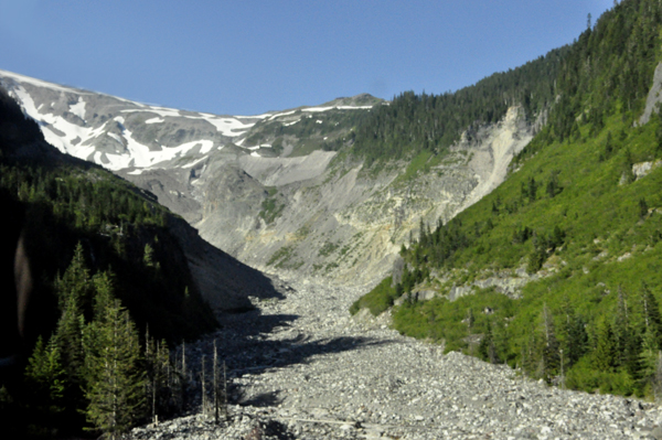
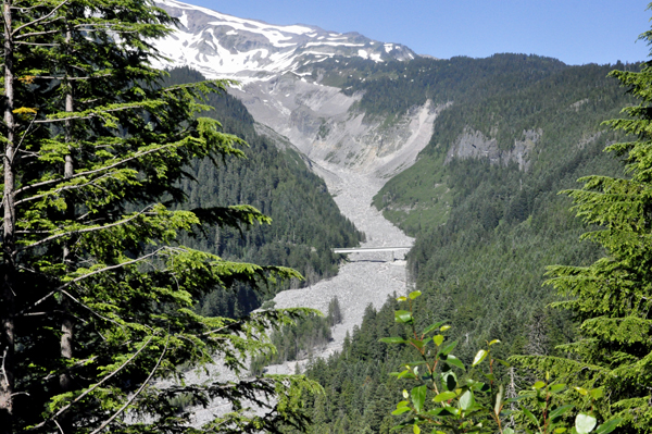
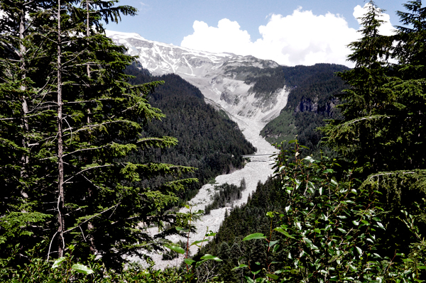
Nisqually River - elevation 3,820 feet |
Below: Views of Nisqually River from each side of the bridge
|
|
|
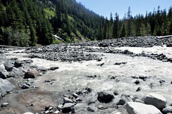
Below: The view of Nisqually
River from a roadside lookout a bit up the street and looking back towards
the bridge. The river was hard to see because the river bed had a lot
of rocks on each side of the narrow Nisqually River. |
|
|
|
Below: Same view in 2013 and 2015
|
|
|
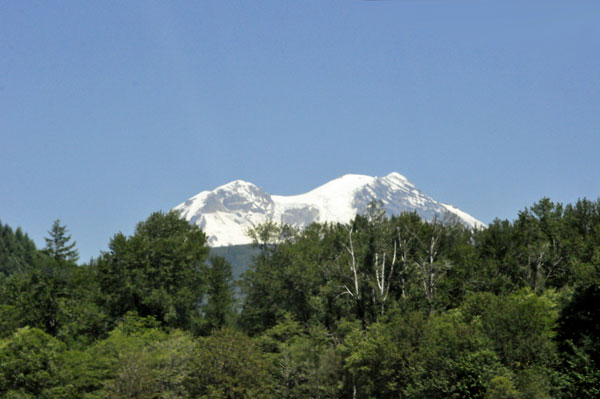
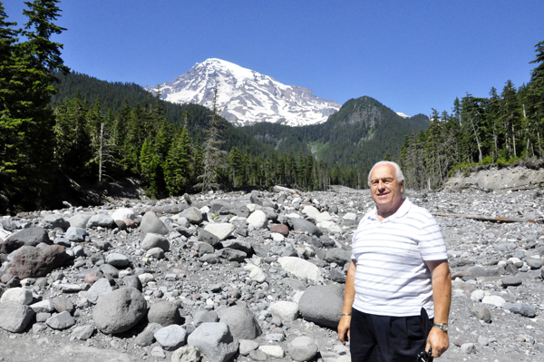
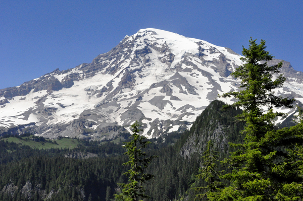
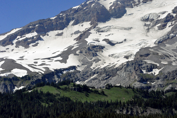
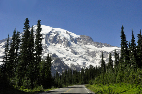
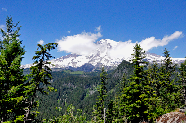
Below: Views of Mt. Rainier
from different lookouts in Mount Rainier National Park in 2013 |
 |
|
|
|
|
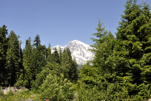
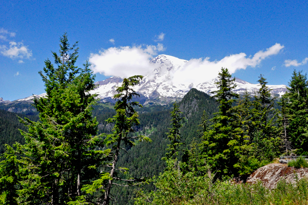
Below: Views of Mt. Rainier from different
lookouts in Mount Rainier National Park in 2015 |
|
|
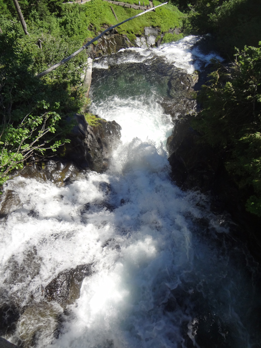
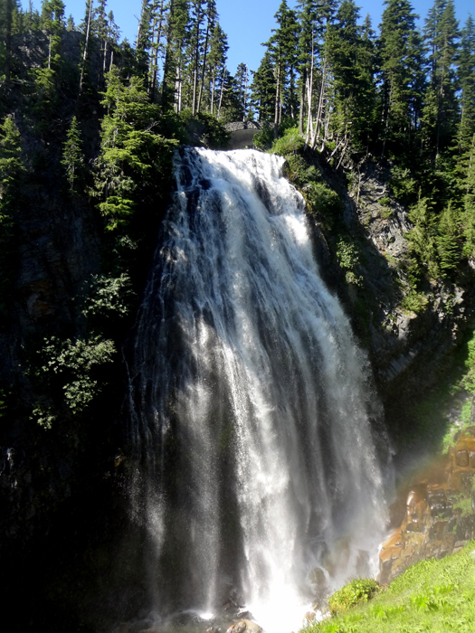
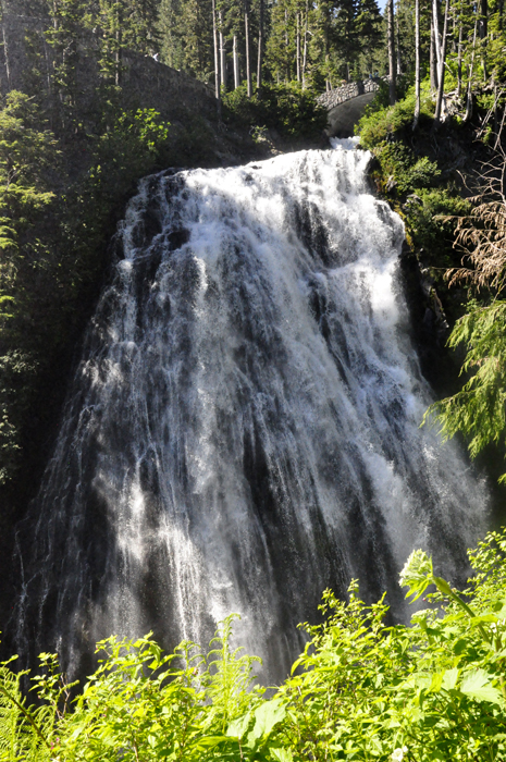
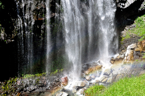
Narada Falls |
Below: View
of Narada Falls as seen the side of the bridge alongside the parking
lot (2013) |
|
|
|
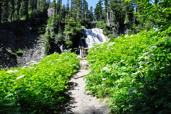
Half way down the trail to Narada Falls, there was a sign "On your way down the trail, you stepped back in geologic history. You walked from a Mount Rainier lava flow less than half a million years old, to the rocks of the Tatoosh Range that were intruded into this area." |
|
|
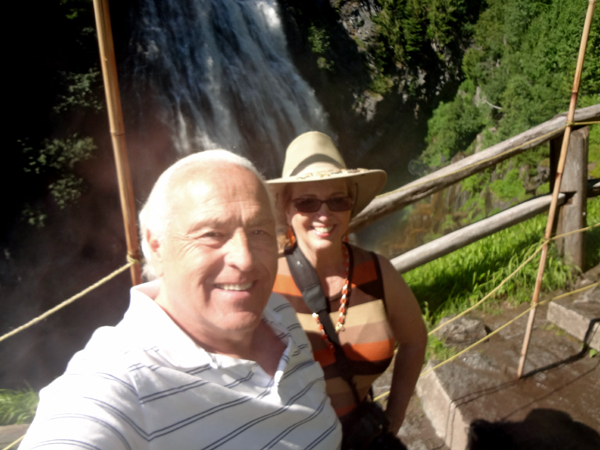
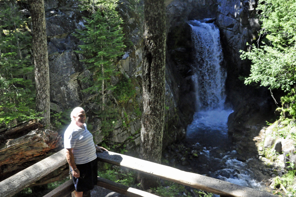
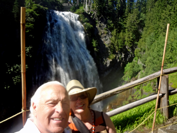
Below: Lee and Karen Duquette
at Narada Falls in Mount Rainier National Park in 2013. It was a warm
day, so they really enjoyed the fine mist spray from Narada Falls. |
 |
|
|
|
 please continue on