|
While near Gillette's Castle,
Karen Duquette noticed a sign that said Devil's Hopyard. The
name sounded familiar to her, and she felt that she must have been there
when they lived in Old Saybrook in 1984, but Lee Duquette said he was
never there. So the two RV Gypsies decided to drive from Gillette's
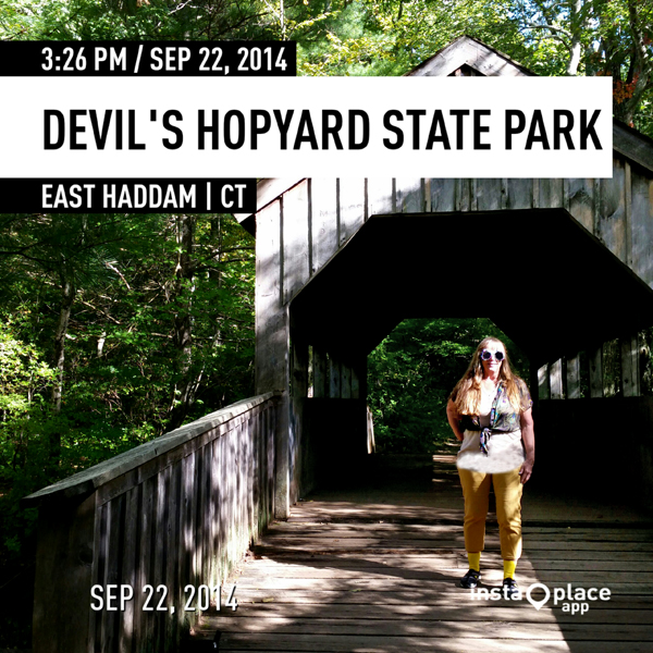
Castle to Devil's Hopyard. Shortly after driving into the park, they
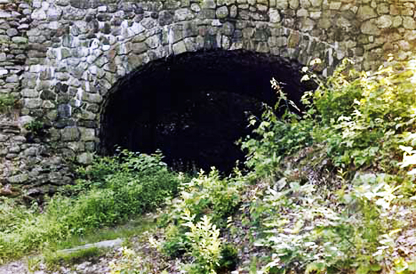
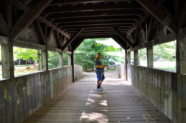
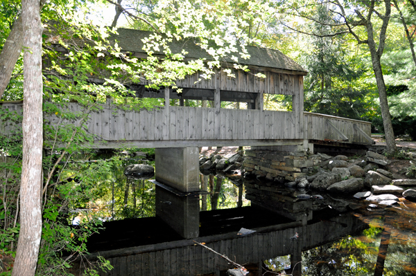
spotted a covered bridge and they parked to take some photos. |
|
|
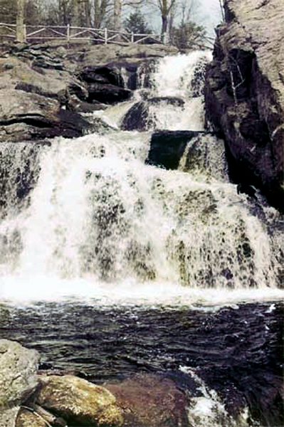
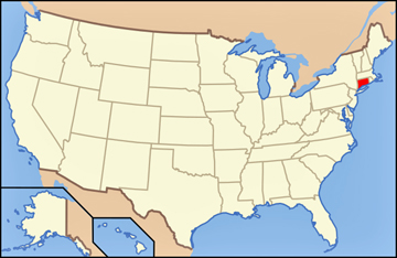
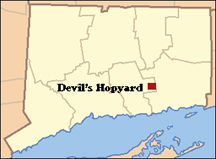
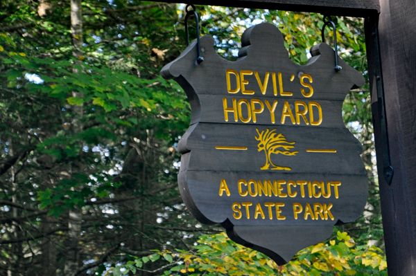
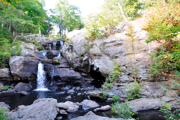
Devil's Hopyard State Park is a state park located in the town of East Haddam, Connecticut at scenic Chapman Falls on the Eightmile River. It is a 1,000-acre park. Theories as to why the area was named Devil's Hopyard range from a landowner named Dibble to supernatural explanations for the naturally occurring potholes near the falls.
A search for the origin of the name "Devil's Hopyard" reveals a wide variety of different stories; none of them are verifiable and all are likely to be more fiction than fact. One of the most popular of these stories is about a man named Dibble, who had a garden for growing hops used in the brewing of beer. It seems that through usage, Dibble's Hopyard became Devil's Hopyard. There are records of several farmers having hopyards in the area, but there is no mention of a landowner named Dibble. However, Dibble might have been a tenant. |
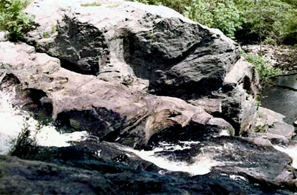
Another tale focuses on the potholes near the falls, which are some of the finest examples of pothole stone formations in this section of the country. Perfectly cylindrical, they range from inches to several feet in diameter and depth. These potholes were formed by stones moved downstream by the current and trapped in an eddy where the stone was spun around and around, wearing a depression in the rock. When the rock wore itself down, another would catch in the same hole and enlarge it. This is known now, but to the early settlers the potholes were a great mystery that they tried to explain with references to the supernatural. They thought that the Devil had passed by the falls, accidentally getting his tail wet. This made him so mad he burned holes in the stones with his hooves as he bounded away. |
|
 In 1775, the Sons of Liberty attacked a mill owned by pro-British loyalists on this site. A portion of the broken millstone was found at the foot of the falls in 2002. In 1775, the Sons of Liberty attacked a mill owned by pro-British loyalists on this site. A portion of the broken millstone was found at the foot of the falls in 2002.
The park's falls powered "Beebe's Mills" (named after the original owner) until the 1890s. The site was acquired by the state for use as a state park in 1919 in response to logging operations that were taking place in the area.
On March 26, 2012, a large brush fire occurred in the park. Firefighters from 14 towns worked to control the blaze, including burning out the area behind two threatened households. The fire consumed more than 50 acres of the park over two days before authorities decided to let it burn itself out. It is unclear how the fire started, but officials noted that hikers may have been the cause. |
|
|
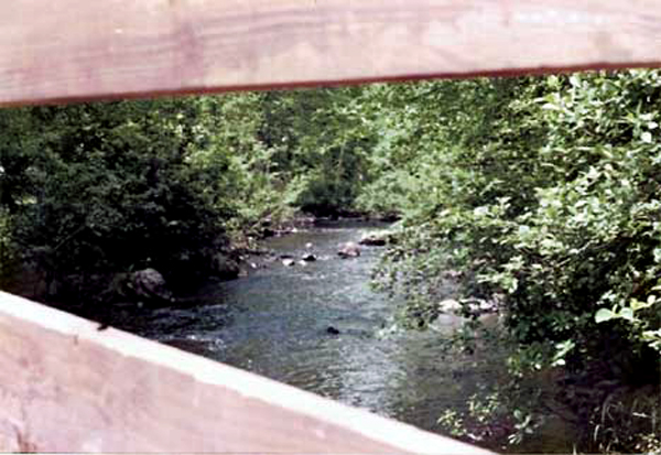
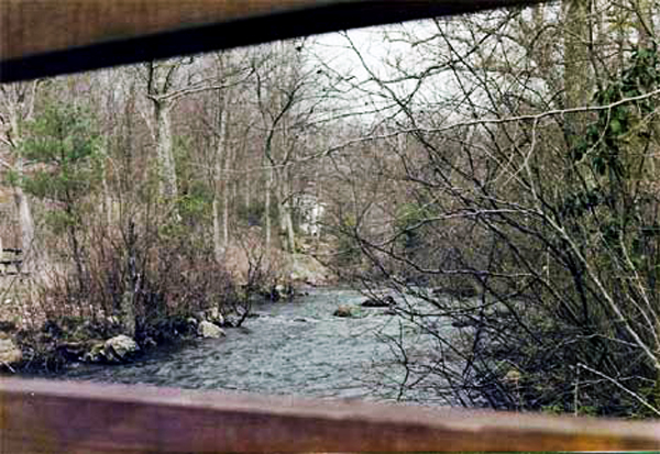
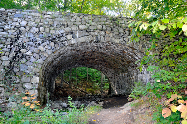
Below: The
view from each side of the covered bridge |
|
|
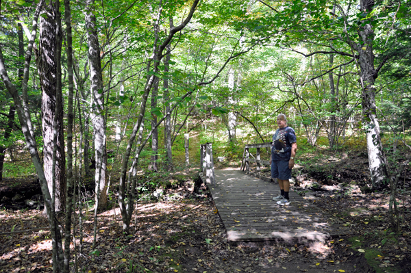
Below: Lee
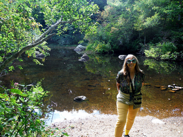
and Karen Duquette saw a sign Falls 0.2 so they decided to
take a short walk. |
|
|
|
|
|
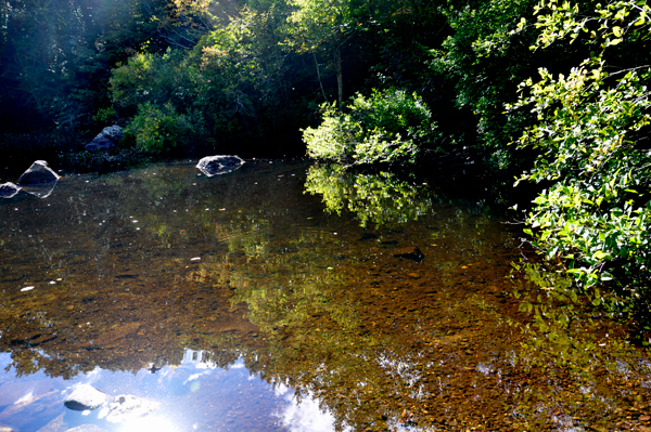
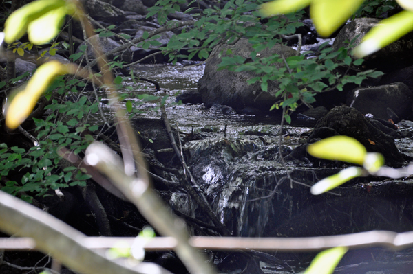
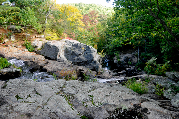
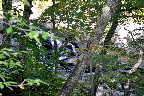
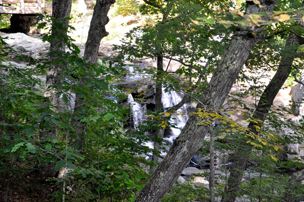
Below: Karen Duquette noticed
a very small waterfall as she peeked through the trees. |
|
|
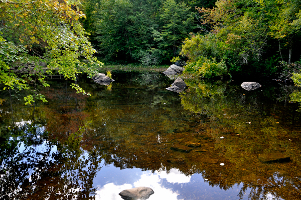
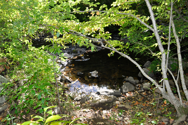
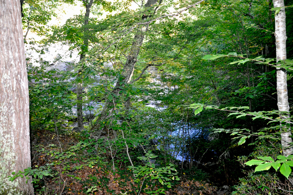
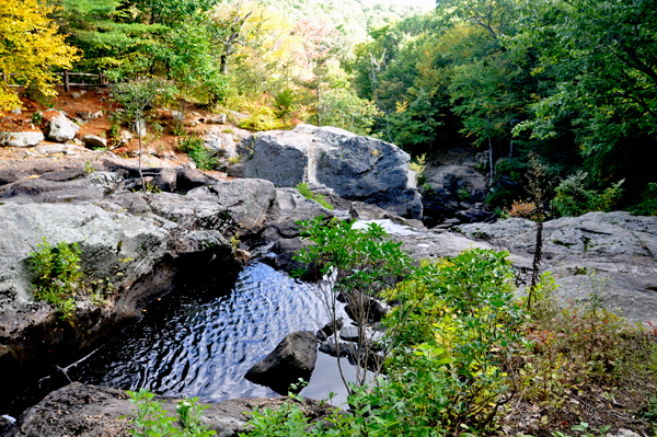
Below: The two RV Gypsies
were not impressed, so they took a few photos and headed back to the
parking lot. |
|
|
|
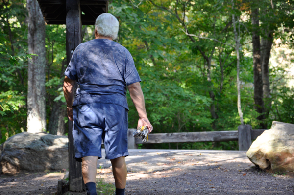
Below: Lee Duquette spotted
three beer cans littered in the woods, so he crushed them and he carried
the cans back to the car to properly dispose of them later, because
he could not find any trash cans in the area. Nice guy! People should
NOT litter. |
|
|
Below: Back at the parking
lot, Karen Duquette saw a sign for Chapman Falls, so Lee and
Karen walked up the road to see Chapman Falls. |
|
Below: The views from the road bridge |
|
|
Below: Karen
Duquette looked through the trees to get a look at Chapman Falls
and took some photos. |
|
|
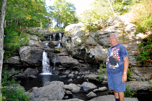
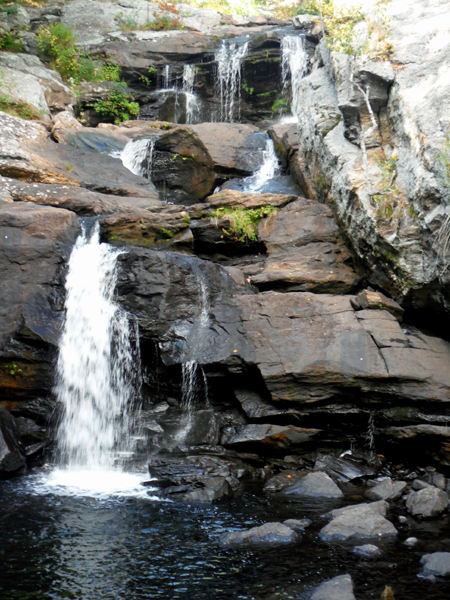
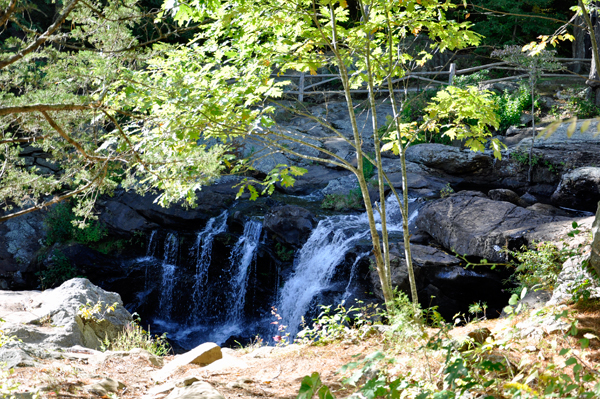
Below: Then Lee and Karen Duquette had
to go down some stone stairs to get to Chapman Falls. Notice the round
holes in the falls. Could the round holes in the falls really be the
work of the devil? Or, just nature and water making their mark for future
generations? |
|
|
Below: The principal feature
of the park, Chapman Falls, drops more than 60 feet over a
series of steps in a Scotland schist stone formation. Vista Point,
which is located at the end of the Blue Trail, is a cliff that
stands 150 to 175 feet above the Eightmile River. Other attractions
include the "mini falls" and three highway bridges listed on
the National Register of Historic Places. Lee Duquette was not ready
for big hikes today, so Lee and Karen Duquette did not get to Vista
Point, even though it would have been nice. |
|
|
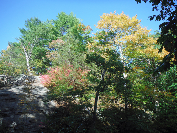
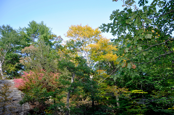
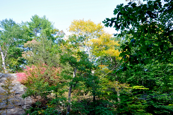
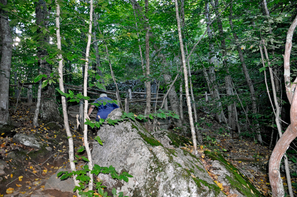
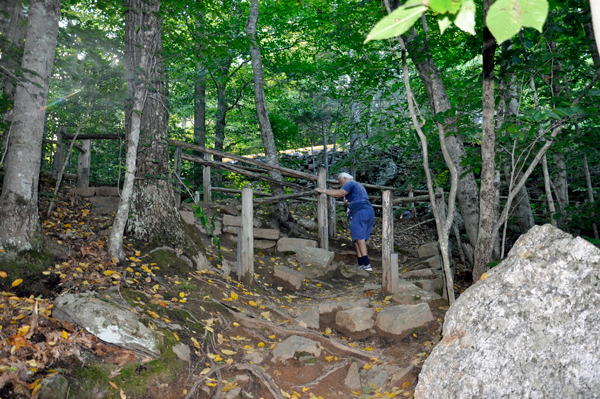
Below: Lee Duquette looked
around and took a few photos of the trees which were just beginning
to turn color. |
|
|
|
|
Below: Then Lee and Karen
Duquette went back up the stone stairs. |
|
|
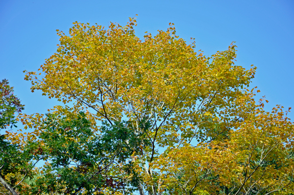
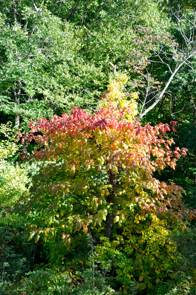
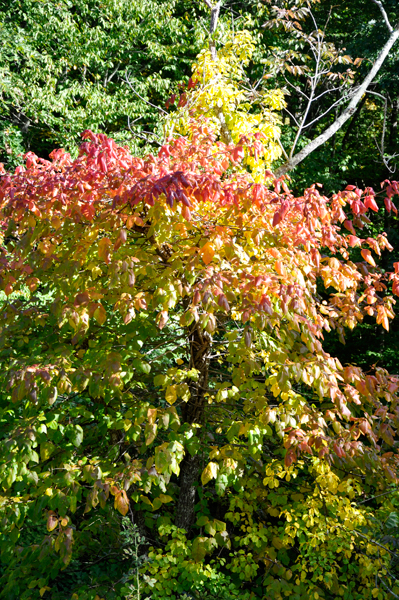
Below: Back up at the road,
Karen Duquette saw the top of a tree with colors, so she walked up the
road a bit to take a few photos of it. When she got to the railing and
looked down at the tree, she realized that only the top of the tree
had changed colors. It was still too early for a lot of fall colors. |
|
|
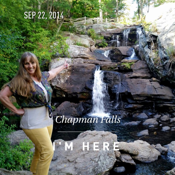
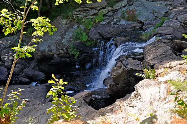
Below: Then Karen Duquette
found an area where she could look down onto Chapman Falls, so she took
two final photos. |
|
|
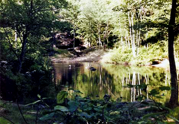
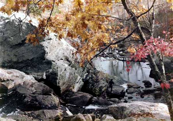
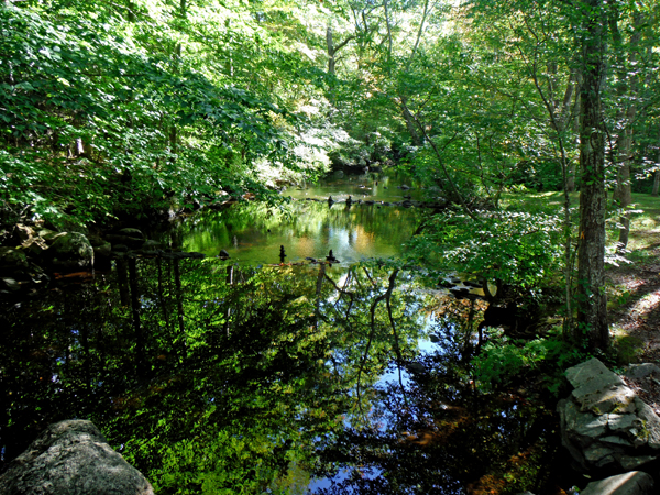
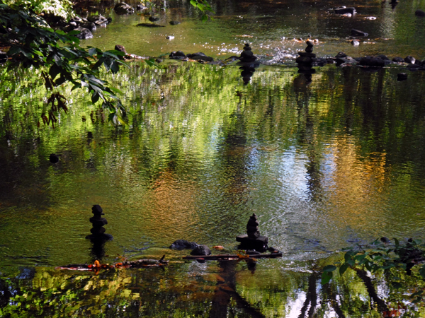
 Once back home at the RV, Karen Duquette turned on her computer
and did a search through her massive amount of photos for Devils
Hopyard, and sure enough she found photos from 1984. So
her memory was correct that she had gone there while living in Old Saybrook.
She was actually taking photography classes at the time and entered
a photo contest with a photo she took at Devil's Hopyard and won third
place. The photo is shown below. Lee Duquette was working and had not
gone to Devils Hopyard back then.
Once back home at the RV, Karen Duquette turned on her computer
and did a search through her massive amount of photos for Devils
Hopyard, and sure enough she found photos from 1984. So
her memory was correct that she had gone there while living in Old Saybrook.
She was actually taking photography classes at the time and entered
a photo contest with a photo she took at Devil's Hopyard and won third
place. The photo is shown below. Lee Duquette was working and had not
gone to Devils Hopyard back then.
|


 FLASHBACK