Lee
and Karen Duquette,
The Two RV Gypsies: Full-Time RVers
in Whitehorse, Yukon, Canada ,
June 3, 2009 (and again in 2016)
|
|
Whitehorse is located on the
upper reaches of the Yukon River in Canada's sub-arctic, 100 miles from
Haines Junction; 109 miles from Skagway; 250 miles from Haines and 396
miles from Tok. The Smith House gave the two RV
Gypsies a free 3-day parking pass for use in the city.
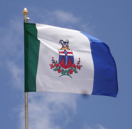
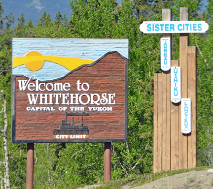
Whitehorse is the capital of the Yukon, and the largest city in Northern
Canada. It was incorporated in 1950 and is located at Historic Mile 918
on the Alaska Highway in southern Yukon. Whitehorse's downtown and Riverdale
areas occupy both shores of the Yukon River, which rises in British Columbia
and meets the Bering Sea in Alaska. The city was named after the White
Horse Rapids for their resemblance to the mane of a white horse, near
Miles Canyon, before the river was dammed.
Because of the city's location in the Whitehorse valley and relative
proximity to the Pacific Ocean, the climate is milder than comparable
northern communities. At this latitude, winter days are short and summer
days have up to about 19 hours of daylight. Whitehorse, as reported by
Guinness World Records, is the city with the least air pollution in the
world. |
 On
this date, The Smith House gave visitors a free 3-day parking pass. Whitehorse
has been the Capital of Yukon Territory since 1953, and serves as the center
for transportation, communications, and supplies for The Yukon Territory
and the Northwest Territories. Whitehorse is named after the historic rapids
on the Yukon River which resembled the flowing manes of charging white horses.
3/4 of the Yukon Territory's population live in Whitehorse. On
this date, The Smith House gave visitors a free 3-day parking pass. Whitehorse
has been the Capital of Yukon Territory since 1953, and serves as the center
for transportation, communications, and supplies for The Yukon Territory
and the Northwest Territories. Whitehorse is named after the historic rapids
on the Yukon River which resembled the flowing manes of charging white horses.
3/4 of the Yukon Territory's population live in Whitehorse. |
|
|
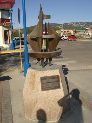
2000 Arctic Winter Games
Torch Monument |
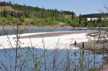
People walking on the iced snow
on the river |
|
|
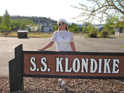
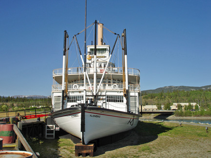
| One
of the largest sternwheelers to ply the Yukon River has been restored and
opened to the public as a National Historic Site by Parks Canada. Originally
launched in 1937, the pride of Whitehorse now sits along the Yukon River
at the southern entrance to the city. 3/4 of the Yukon's population live
in Whitehorse. Guided tours available. The SS Klondike was built in 1929
by the British Navigation Company (BYNC). It was the largest on the Yukon
with a cargo capacity 50% greater than previous boats and could carry over
300 tons. She ran aground in 1936 at the confluence of the Teslin and Yukon
rivers. Salvaged parts were used to construct a new shop - the second SS
Klondike (launched in 1937) and was almost identical to the first. |
Note: Lee and Karen Duquette
returned here in 2016 and went on board the S.S. Klondike. To see those
photos, use
this link, but if you do, please be sure to return to this page, to
continue with the 2009 trip.
|
|
|
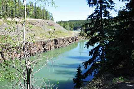
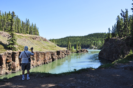
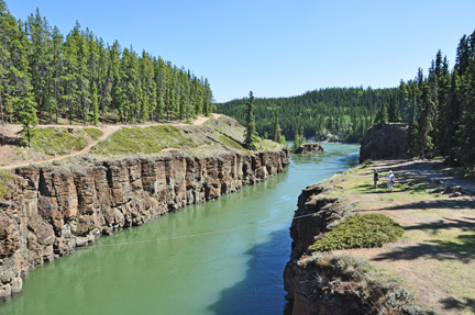
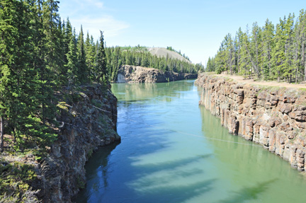
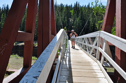
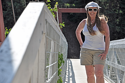
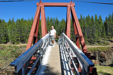
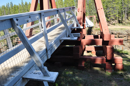
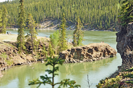
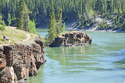
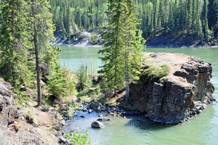
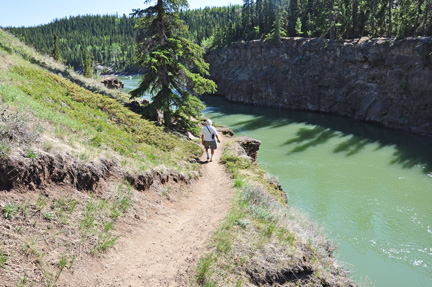
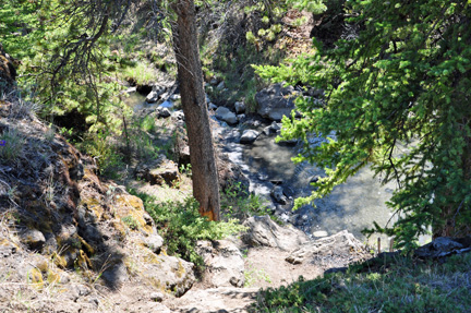
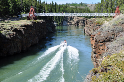
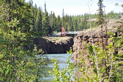
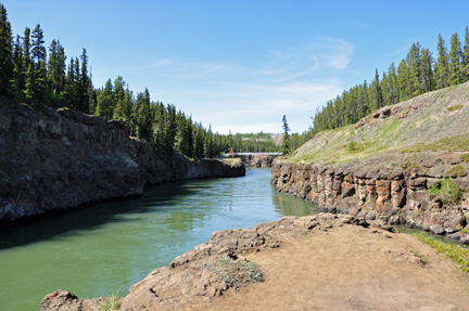
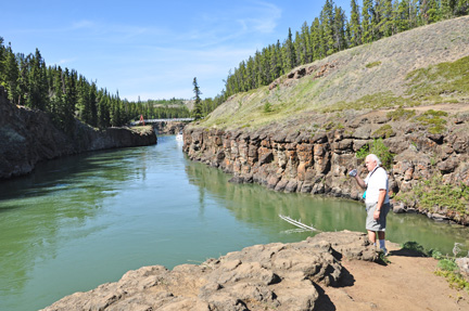
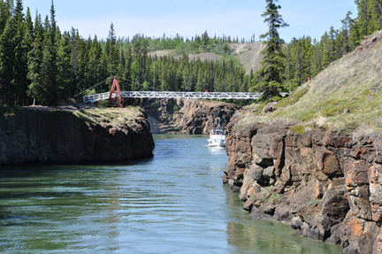
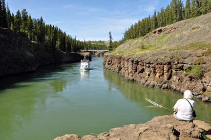
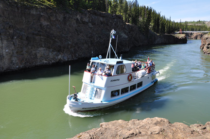
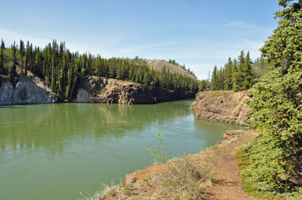
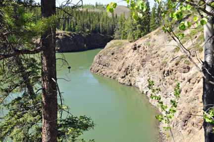
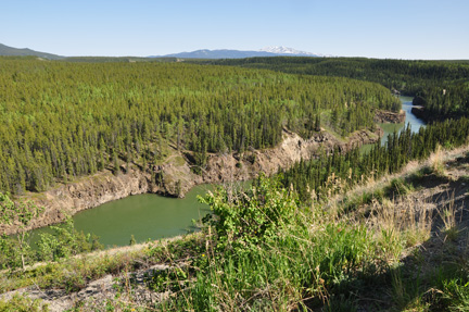
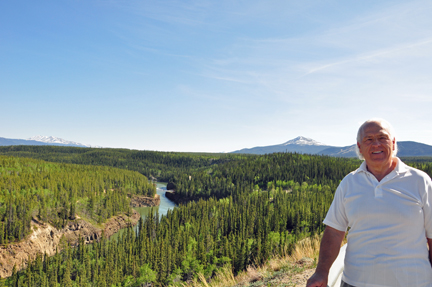
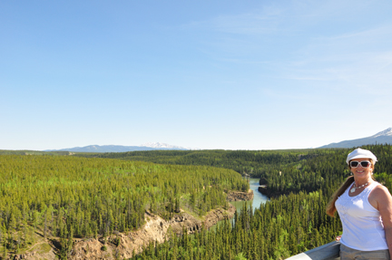
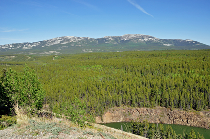
MILES CANYON |
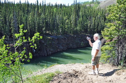
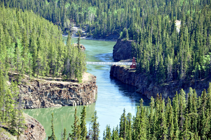
| Lee
and Karen Duquette hiked in Miles Canyon and crossed the Robert Lowe Suspension
Bridge. The canyon's wild waters, now tamed by a dam, presented a formidable
challenge to the stampeders trying to reach the Klondike gold fields in
1897 and 1998. Lives were lost and gear scattered when their often crudely-built
boats broke up and sank. |
|
|
|
|
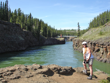
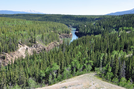
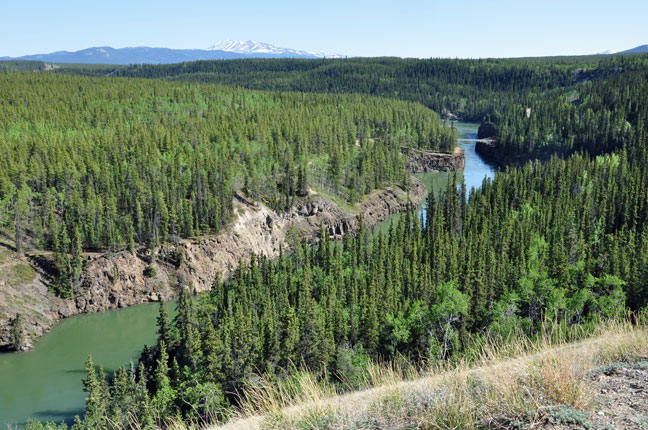
| MILES
CANYON: Rocks that make up this canyon are among the youngest in
southern Yukon. They formed as several overlying flows of basalt lava accumulated
in the ancient Yukon River Valley about 8.5 million years ago. Many miners
on their way to the Klondike lost their supplies, or life, passing through
this canyon, whose prowess has since been tamed by the building of the hydro
dam at White Horse Rapids. |
|
|
|
|
|
|
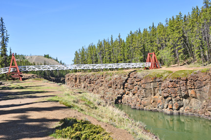
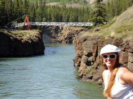
Below: Karen Duquette on
The Robert Lowe Suspension Bridge. |
|
|
|
|
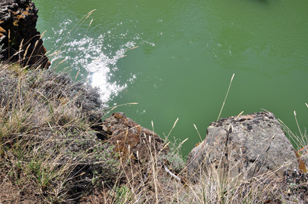
Below: A BIG rock as seen
from the bridge |
|
|
|
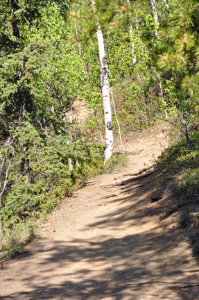
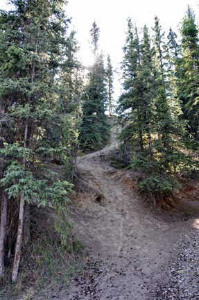
Below: The trail to the
rock |
|
|
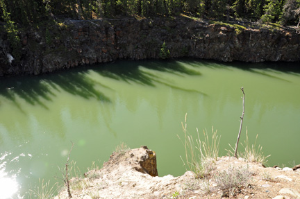
Below: Looking down from
the trail |
|
|
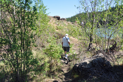
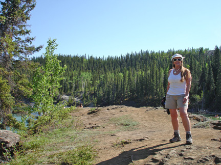
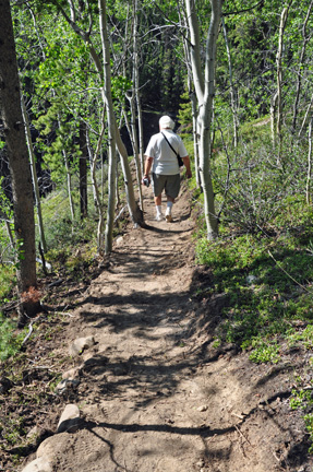
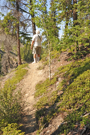
Below: Lee Duquette on
the trail |
|
|
|
Below: The bridge as seen
from the rock |
|
|
|
|
|
|
|
|
|
|
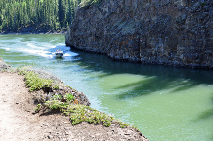
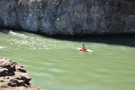
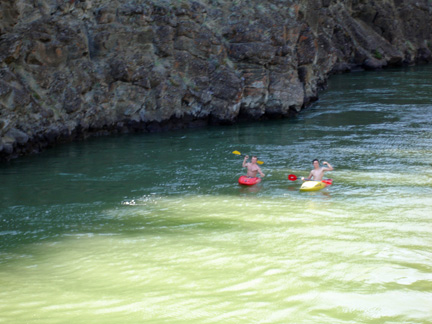
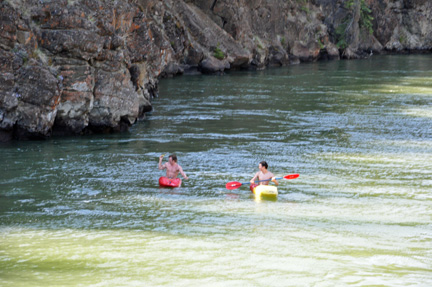
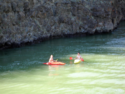
Below: KAYAKERS |
|
|
|
|
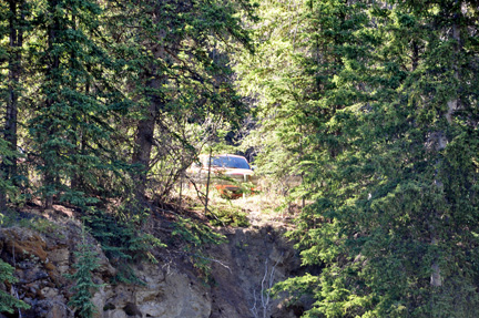
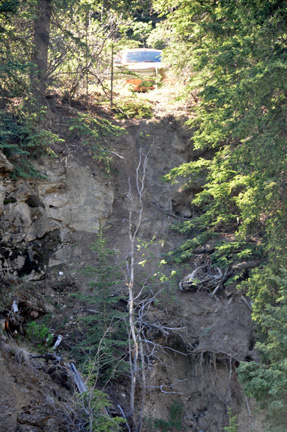
Below:
MOB peeking through the trees. (FYI: The two RV Gypsies named their toad
MOB - My Orange Baby because it is a small orange HHR. Their
RV is AWO - All We Own because they do not have a house anymore.
Of course, this and more was explained on the home page of this website,
which is a must read for full enjoyment of these travels.) |
|
|
Below: The other side of
the bridge - and the observation area |
|
|
|
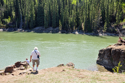
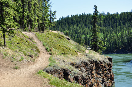
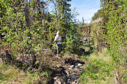
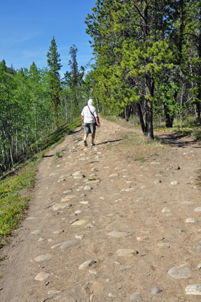
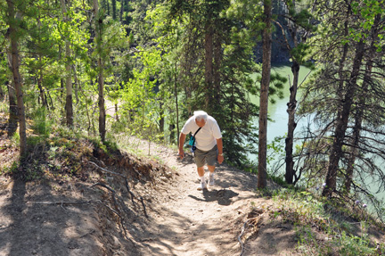
Below: Lee Duquette on
the Hiking trail |
|
|
|
|
|
|
|
|
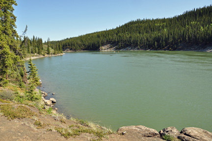
Below: View from the observation
area |
|
|
|
|
|
|
|
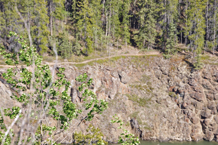
Below: The trail across the river that
Lee and Karen Duquette walked on earlier - as viewed from the observation
area. |
|
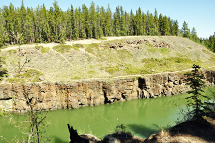
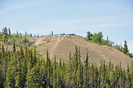
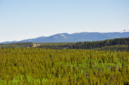
| Below:
Grey Mountain: The grey rocks are lime stones that formed
in ancient tropical seas containing coral reefs. These tropical seas existed
approximately 220 million years ago during Triassic time. They indicate
that rocks underlying this part of the Yukon originated in a much warmer
climate and have since been displaced northward. These rocks have been completely
deformed and folded subsequent to their deposition millions of years ago.
They now have little resemblance to their origin as a coral reef. |
|
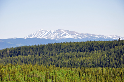
| Below:
Mount Lorne - Rocks underlying this mountain are composed of volcanic
strata. These strata were deposited on land during explosive eruptions throughout
the Cretaceous period, about 100 million years ago. |
|
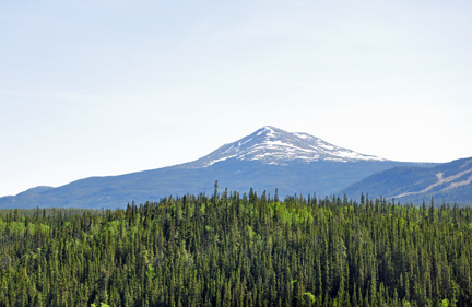
Below: Golden Horn |
|
| Copper
Belt - Approximately 112 million years ago, hot magma, which originated
deep in the earth's crust, intruded into existing lime stones. Where the
magma came into contact with the limestone, "skarns"
were formed, creating rich copper deposits. These deposits encouraged prospectors
on their way to the Klondike in 1897. The mining opportunities in the Whitehorse
area contributed significantly to the economy of the town until the mines
closed in 1982. |
|
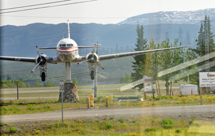
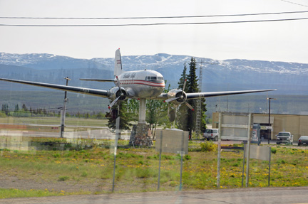
Below: A DC-3 weathervane at the airport
is a Whitehorse landmark. It actually spins in the wind. Karen Duquette
snapped a couple of photos of the weaver vane through the window of
the moving RV, thus the reflections. Lee Duquette was unable to stop
for better photos.
|
|
|
| Lee and Karen Duquette
went to a performance of "Frantic
Follies" a vaudeville revue and gold rush variety entertainment.
It was much better than expected. Everyone in the audience laughed through
the whole performance. There was some audience participation. The two RV
Gypsies highly recommend this experience. Photos were not allowed to be
taken. |


 Continue
on in order of travel in 2009 to
Continue
on in order of travel in 2009 to


