Two RV Gypsies: Full-Time RVers
(and Professional Travelers)
Two RV Gypsies: Full-Time RVers
(and Professional Travelers)
 |
 |
 |
 |
 |
 |
 |
 |
 |
 |
 |
 |
 |
 |
||
 |
|||||||
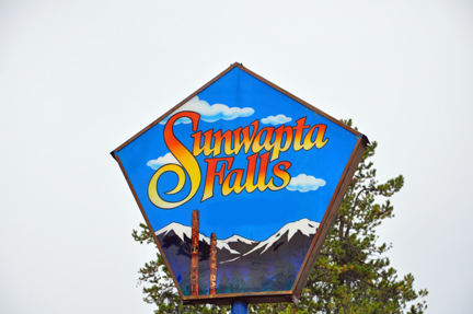
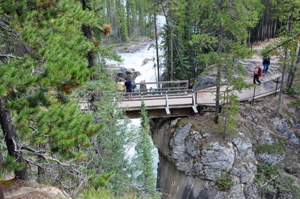
| The two RV Gypsies enjoy Sunwapta
Falls August 26, 2009 |
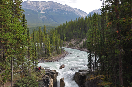
| Sunwapta Falls is 33 miles
from the town of Jasper. Sunwapta means "turbulent river" in
the language of the Stoney Nation, which is a great description for this
unpredictable watercourse plummeting over the cliffs into a deep canyon.
|
 |
|
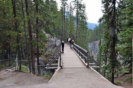
| There are many ways to view Sunwapta Falls: from the viewing bridge - the view is quite different on each side of the bridge, or you can be on a lower cliff to the right of the bridge, or on a higher cliff to the left of the bridge. | |
 |
|
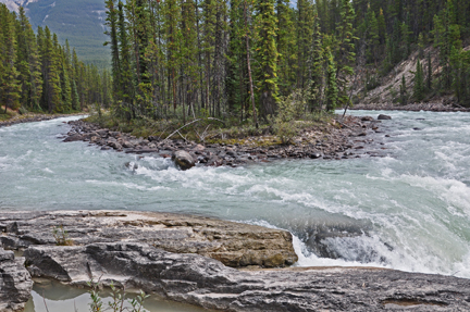
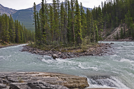
the top of the falls as
it comes around a small island |
|
 |
 |
the left side of the small
island
|
|
 |
|
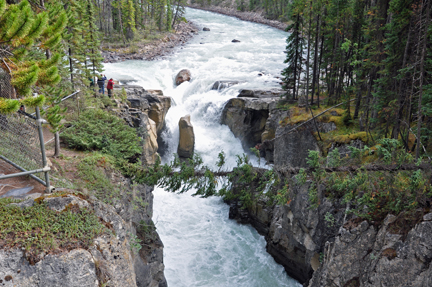
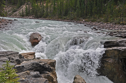
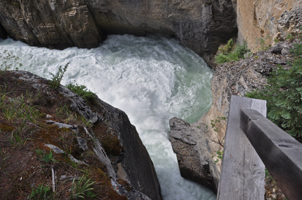
| Below - This photo was taken from the bridge and shows people viewing the top of the falls from the lower cliff. Notice the small round rock and the tall rock in the middle of the falls. | |
 |
 |
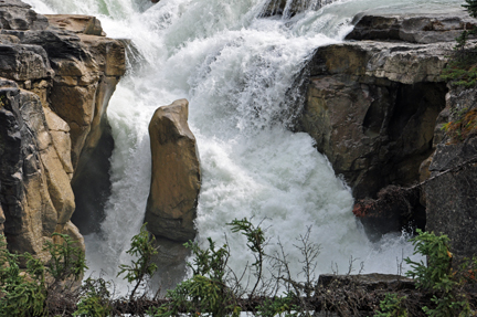
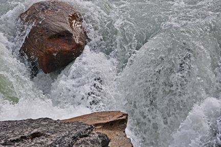
below - closer views of
the two rocks in the photos above |
|
 |
 |
 |
 |
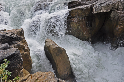
| below - a closer view of the area just below the two rocks - and just before the water goes under the viewing bridge to the other side by the tall cliffs. | |
 |
 |
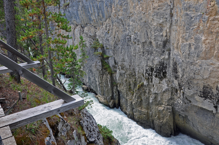
a view of the water after
it goes under the bridge towards the tall cliffs |
|
 |
|
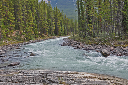
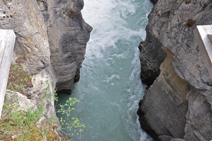
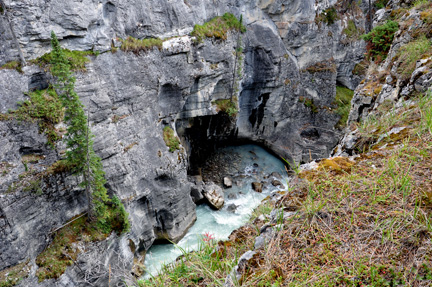
then the water continues
to flow between two cliffs |
|
 |
|
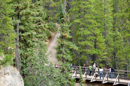
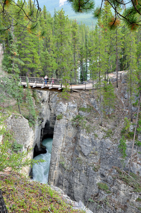
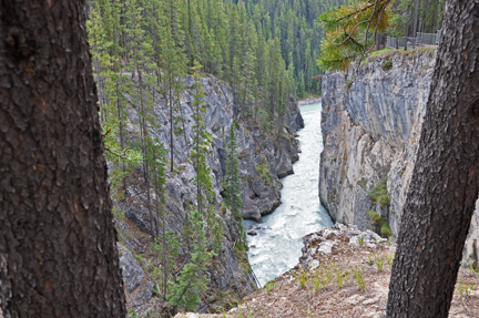
below: the trail that goes
from the bridge to the top of the cliff shown above |
|
 |
 |
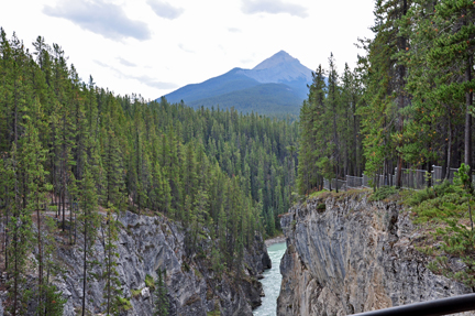
Looking back at the bridge
from the upper cliff |
|
 |
|
 |
 |
 |
 |
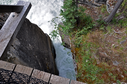
looking straight down from
the upper cliff |
|
 |
|
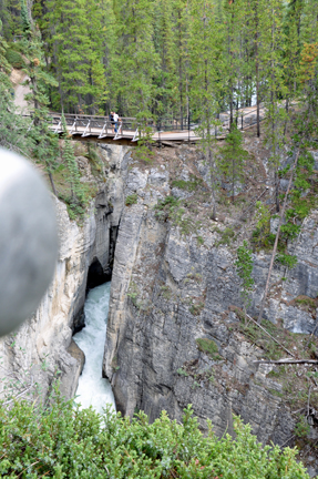
| The photo below shows people at the top of the upper cliff looking down at the bridge. Karen took this photo from a curve on the upper cliff. | |
 |
|
Looking down from the upper
cliff to see the water flowing to a place unseen. |
|
 |
 |
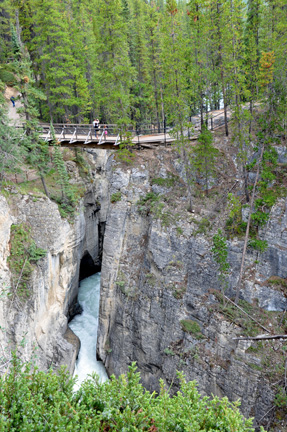
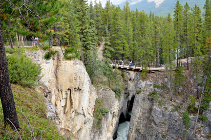
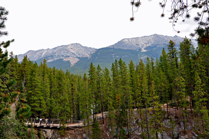
| The photo below shows the bridge and the start of a hiking trail that probably leads to many more different views of the water. The two RV Gypsies did not choose to hike the trail. | |
 |
|