|
Lee and Karen Duquette
enjoyed an easy hike at
Shot Tower Historical State Park and The New River TRail
176 Orphanage Drive
Max Meadows, VA 24360
July 18, 2023
|
|
|
|
|
|
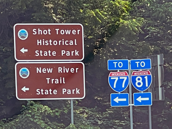
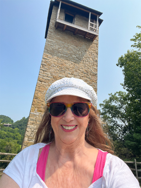
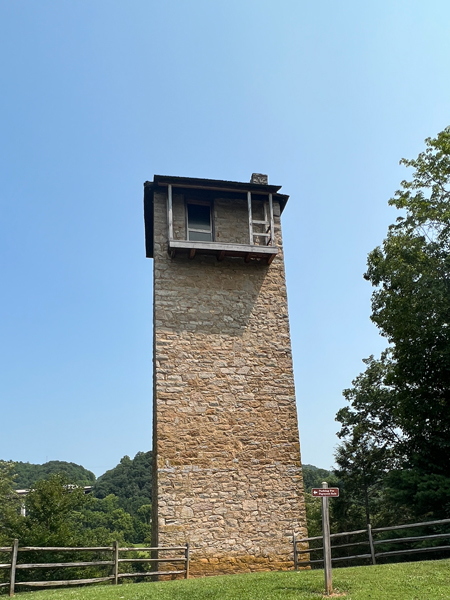
There are two levels to the Shot Tower Historical State
Park. The below photos were taken from the upper parking level where
Lee and Karen Duquette got their first look at the Shot Tower. There
was a pay station there. They realized that it was possible to walk
from here down a steep hill to the bottom of the Shot Tower, but they
just stopped here long enough for a couple of photos, then they drove
their car to the bigger parking area where they paid their fee.
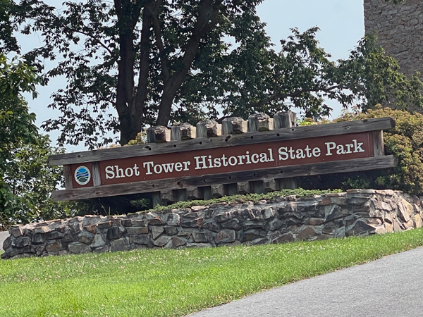
The Shot Tower is open for tours every Friday, Saturday
and Sunday from 10 a.m.- 5 p.m. until Labor Day. The grounds are open
from Dawn to dusk. Call the office at 276-699-6778 for details. (All
times, dates, costs, and phone numbers mentioned on this website are
always subject to change.)
|
|
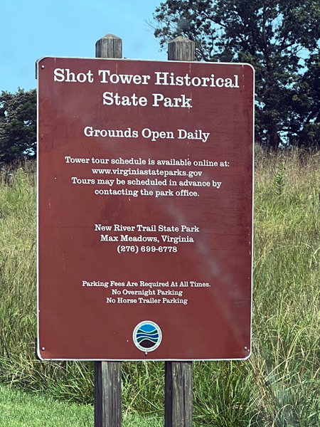
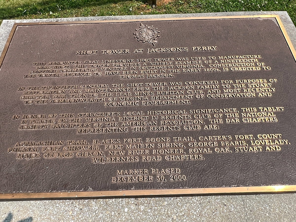
 Overlooking
the New River, Shot Tower was built more than 200 years ago to make
ammunition for the firearms of the early settlers. Lead from the nearby
Austinville Mines was melted in a kettle atop the 73-foot tower and
poured through a sieve, falling through the tower and an additional
75-foot shaft beneath the tower into a kettle of water. Guests may ascend
the tower, which is on the National Register of Historic Places. Interpretive
signs provide details on the tower. Grounds were open from dawn until
dusk at this time. The parking lot is usually open year-round. The tower
is open on scheduled days in the summer. Admission to the tower was
free, BUT the daily parking fee applies. Overlooking
the New River, Shot Tower was built more than 200 years ago to make
ammunition for the firearms of the early settlers. Lead from the nearby
Austinville Mines was melted in a kettle atop the 73-foot tower and
poured through a sieve, falling through the tower and an additional
75-foot shaft beneath the tower into a kettle of water. Guests may ascend
the tower, which is on the National Register of Historic Places. Interpretive
signs provide details on the tower. Grounds were open from dawn until
dusk at this time. The parking lot is usually open year-round. The tower
is open on scheduled days in the summer. Admission to the tower was
free, BUT the daily parking fee applies.
|
| |
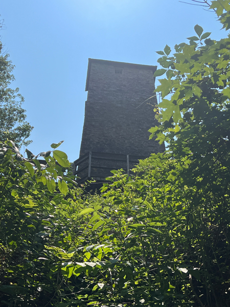
Below: Lee and Karen Duquette enjoyed their view of
the 73-foot tall Shot Tower from the upper parking lot. As one of the
few remaining shot towers in the United States, the Jackson Ferry tower
was constructed by Thomas Jackson and is the centerpiece of the Shot
Tower Historical State Park. Construction began on the tower shortly
after the American Revolutionary War and was completed in 1807. The
tower was listed on the National Register of Historic Places on October
1, 1969. |
|
|
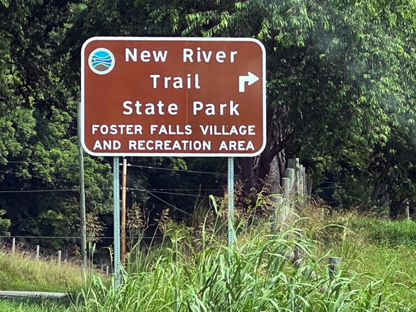
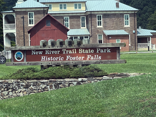
Below: Then Lee and Karen Duquette took a short drive
to the lower level, the New River Trail section. |
|
|
|
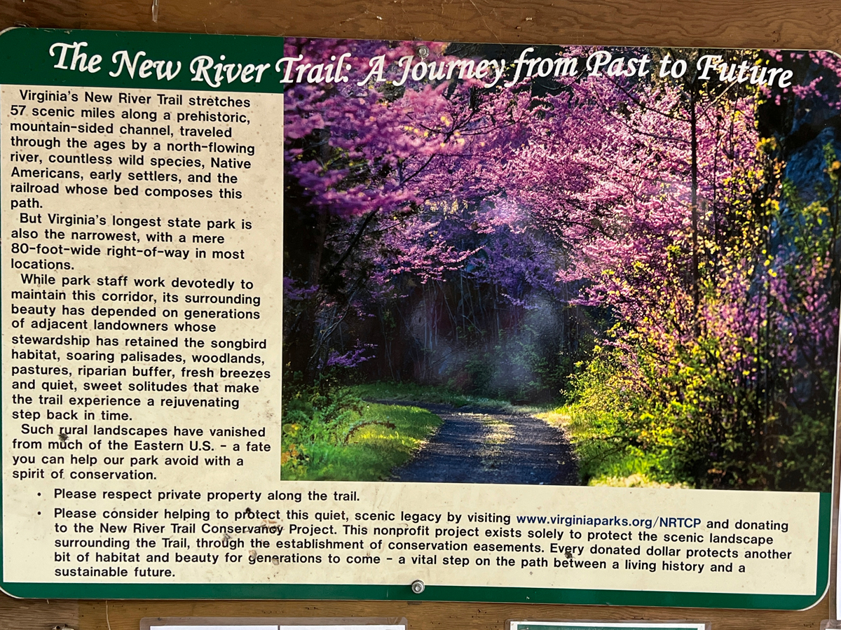
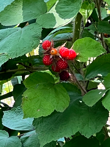
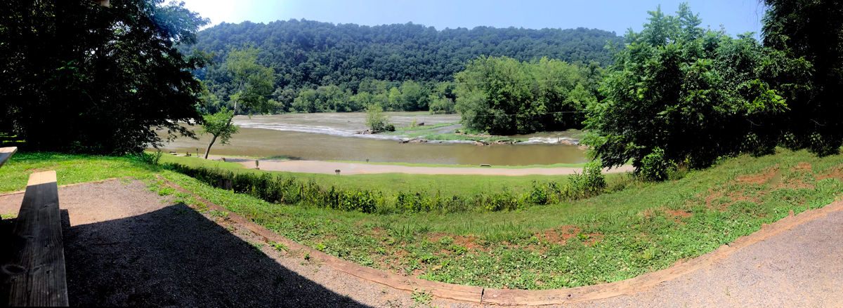
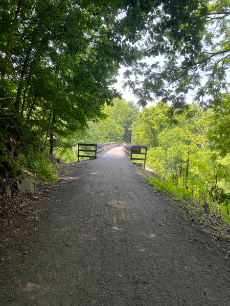
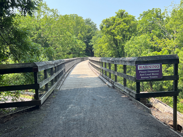
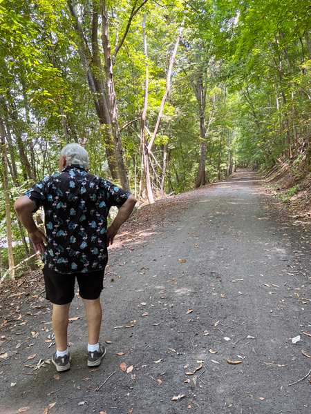
Below: Then it was time for Lee and Karen Duquette
to take a hike. New River Trail is a 57-mile linear park that follows
an abandoned railroad right-of-way. The park parallels the scenic and
historic New River for 39 miles and passes through four counties and
the city of Galax. The trail's gentle slope makes it great for visitors
of all ages to hike, bike and ride horseback.
Of course they did NOT hike the entire trail, they just wanted another
look at the Shot Tower from the trail. Along the way, they took a short
rest at the picnic table to enjoy the scenery and read the signs (shown
below the panorama photo). |
 |
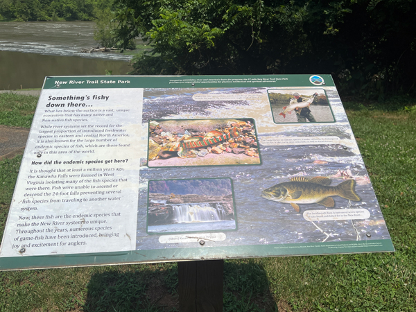
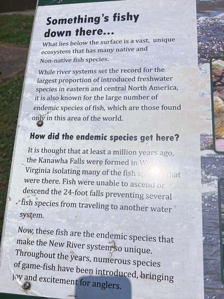
Below: As the sign states, "It was thought
that a least a million years ago, the Kanawaha Falls were formed in
West Virginia isolating many of the fish species that were there. Fish
were unable to ascend or descend the 240-foot falls." Note:
There is NOT any waterfall here today. |
|
 |
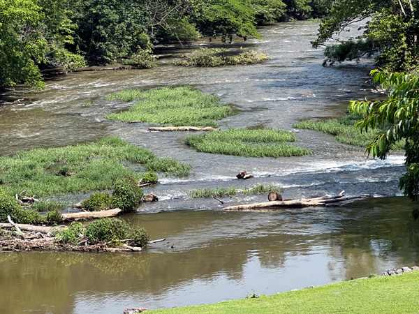
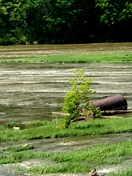
Below: Karen Duquette noticed a barrel
caught in the river stream. |
 |
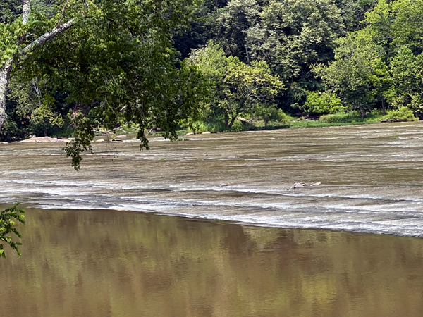
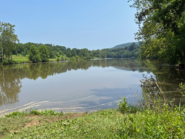
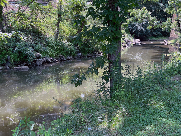
Below: Photos looking in different directions
of the river. |
|
 |
|
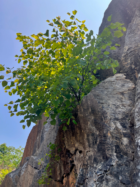
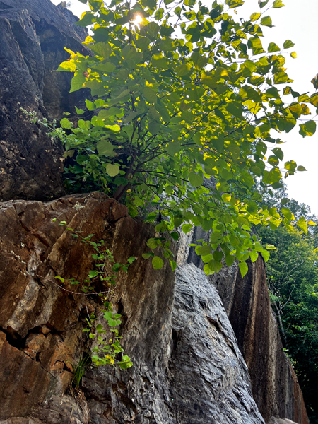
Below: Continuing their hike, Lee and Karen Duquette
were intrigued by the trees growing out of the cliff side. |
|
|
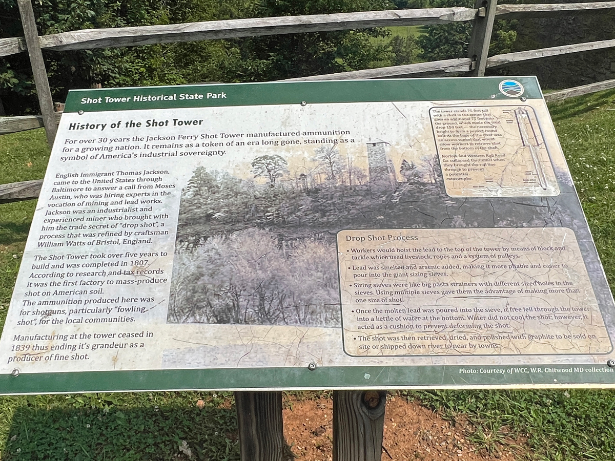
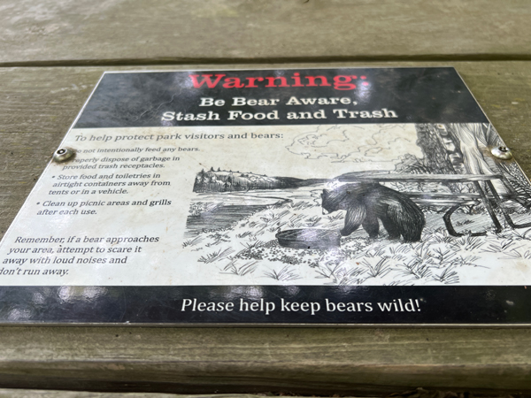
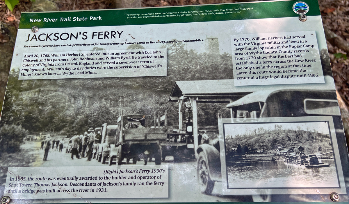
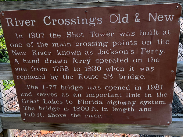
Below: Informative signs were along the
trail. |
 |
 |
 |
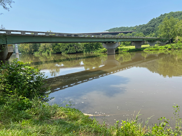
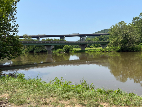
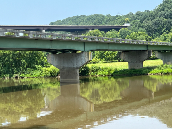
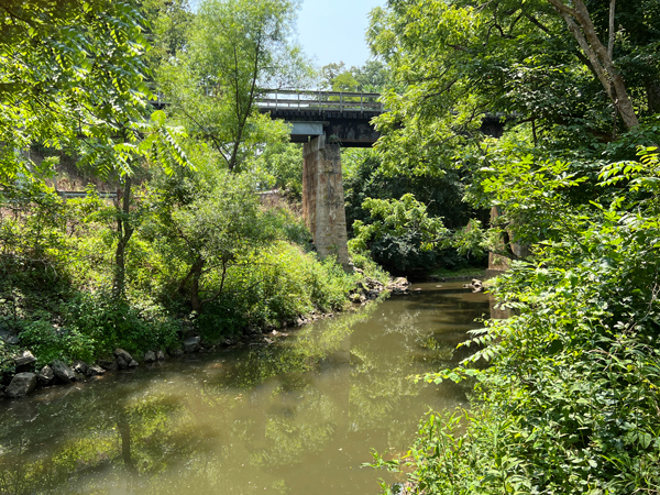
Below: The Route 52 bridge |
 |
 |
 |
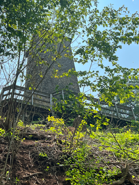
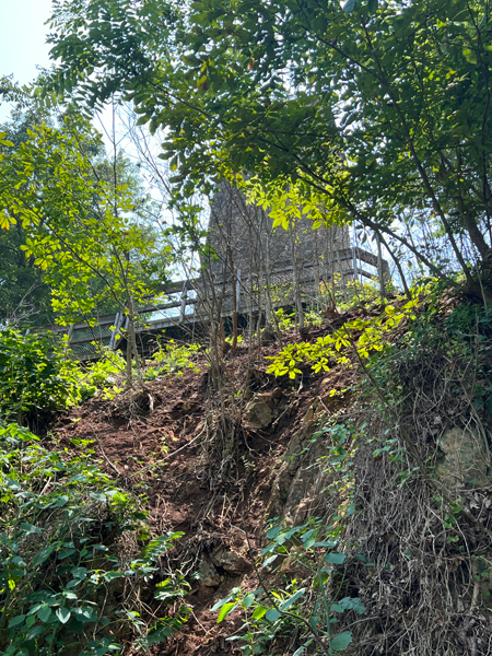
Below: Then it was time for Lee and Karen Duquette to
view The Shot Tower from the back side. |
 |
 |
 |
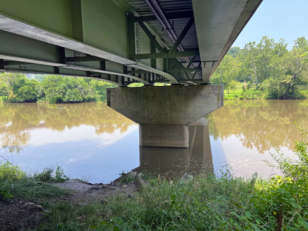
Below: Lee and Karen Duquette came to a
clearing in the woods and took a little walk to enjoy some different
scenery. They crossed a road under the bridge and came upon some local
people fishing. So they just took a few photos and went back to the
main trail. |
 |
 |
 |
 |
 |
 |
Below: Looking back up at the roadway |
 |
 |
 |
 |
|
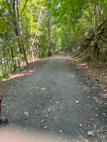
Below: The return trip to the parking lot. As seen
in the photos, the trail is easy to walk on, and shady at times. But
a lot of people also rode bicycles through here and they are supposed
to yield to the hikers. |
 |
 |
Below: As stated earlier, this New River Trail is a
57-mile trail with other interesting things to see, but of course Lee
and Karen Duquette only walked a short distance to view the Shot Tower.
|