Lee
and Karen Duquette,
The Two RV Gypsies
took a short hike at
"The Longest Natural Bridge East of The Rockies"
in Natural Bridge, Alabama
October 20, 2022
|
|
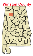
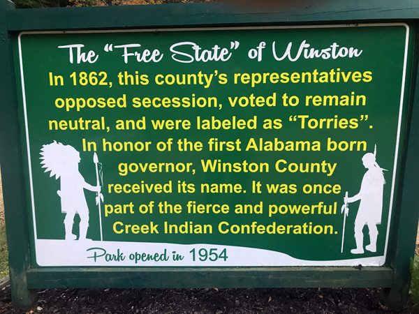
Originally called Larissa, then Lodi, the town of Natural
Bridge is named after the distinctive sandstone span, approximately
148 feet long and 60 feet high. The town is at the southwest edge
of Winston County, Alabama, located near the intersection of U.S.
Route 278, Alabama Highway 13, and Alabama State Route 5. It initially
incorporated on September 3, 1914. In the 1930s, due to a dwindling
population, its charter became dormant. On July 24, 1997 it reincorporated.
The population was 37 at the 2010 census, up from 28
in 2000. After its reincorporation, in 2000 it was the least populated
town in Alabama that was incorporated, although Gantts Quarry had
a population of zero but was still legally incorporated. In 2010,
it lost the title to McMullen and became the 4th least populated incorporated
town in the state. The town has a total area of 0.4 square miles,
all land.
|
| |
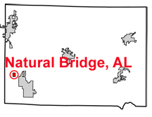
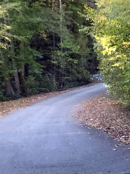
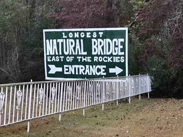
Natural Bridge Park is located
on Winston County Road 3500 just east of the Natural Bridge community.
It is open every day from 8:00 a.m. to dusk. Admission is $3.50 for
adults and $2.50 for children.
Dates, times and costs are always subject to change, and of course,
NOT controlled by the two RV Gypsies. |
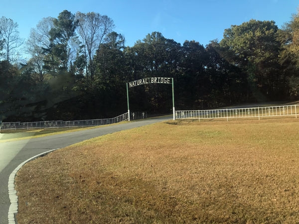
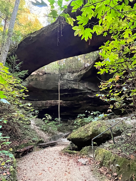
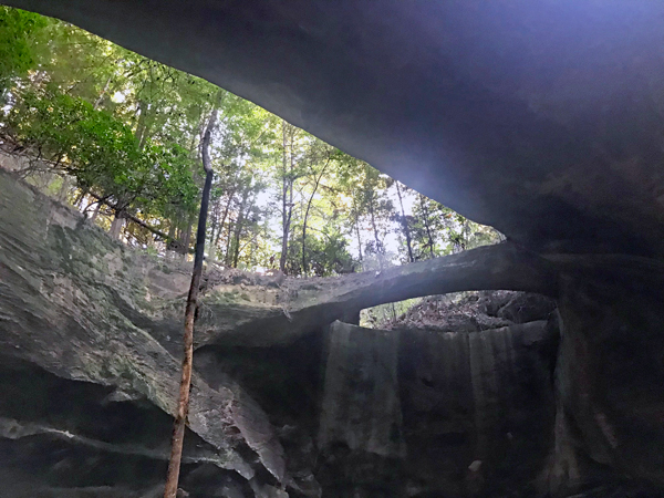
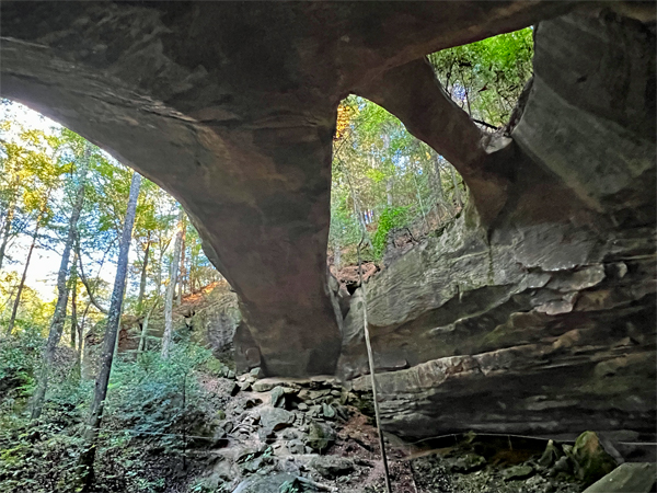
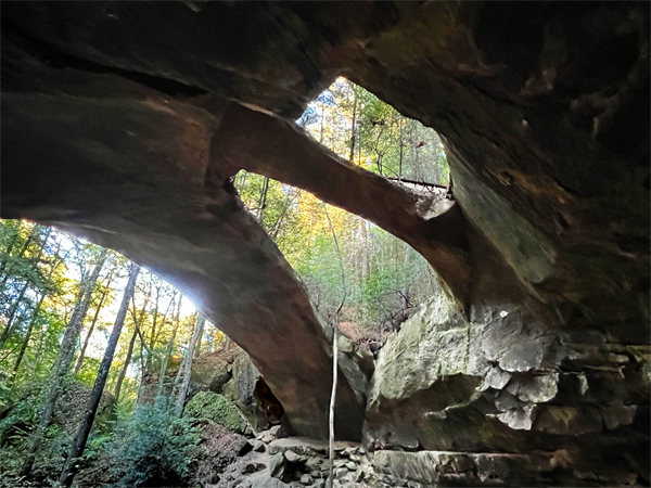
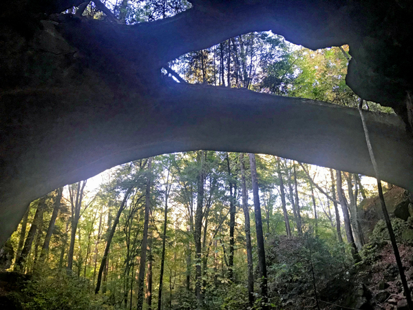
The Natural Bridge Park is
a privately owned recreational park area in Winston County centered
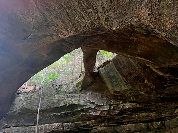
on a natural geologic formation in the shape of a large stone bridge.
The two-span natural “bridge” is 60 feet high, 148 feet long, and made
of sandstone and iron ore. The formation is said to be the longest natural
bridge east of the Rocky Mountains.
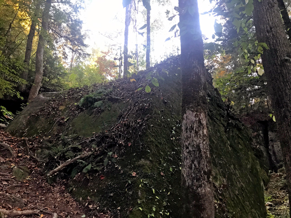
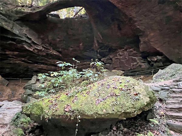
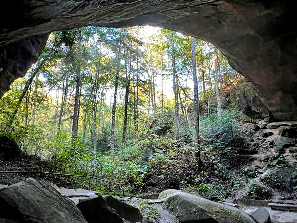
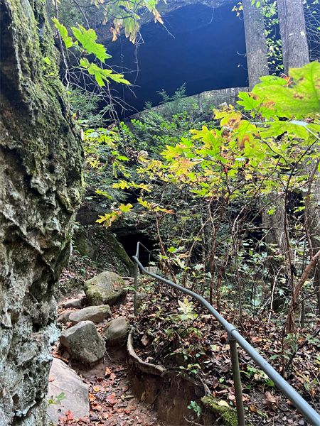
The site is one of many spectacular geologic formations in north Alabama.
Throughout the region, harder sandstones resisted the erosion of the
softer rocks around them, creating such things as caves and natural
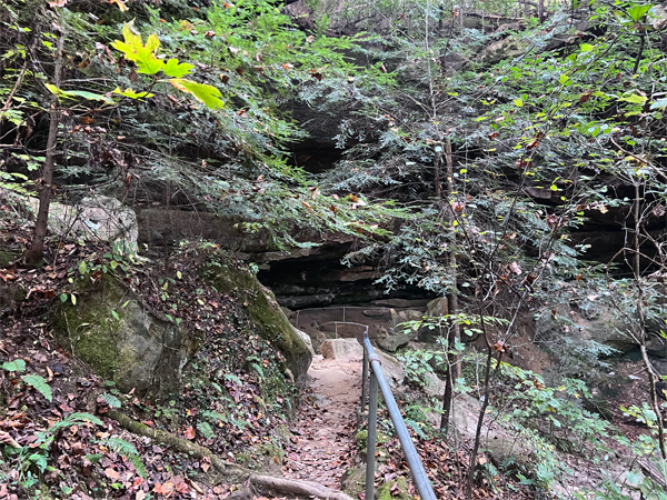
bridges. Visitors are prohibited from walking on the bridge formation
for safety and insurance reasons but are allowed to view it from the
trail underneath. |
 |
 |
 |
|
|
The arch is
in Natural Bridge Park, which allows public access |
|
|
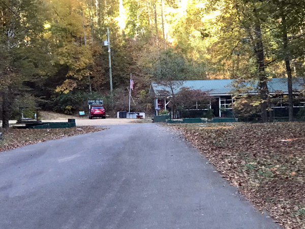
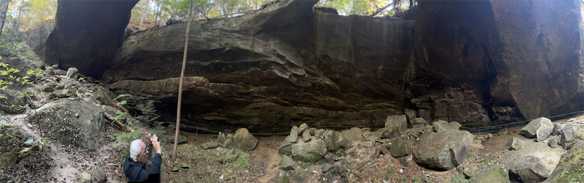
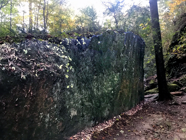
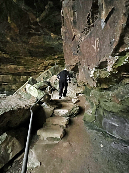
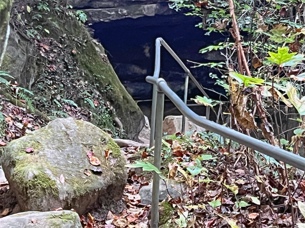
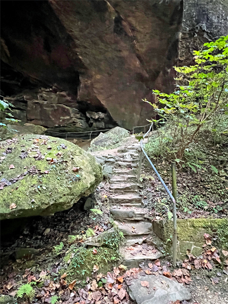
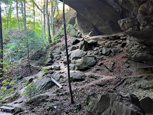
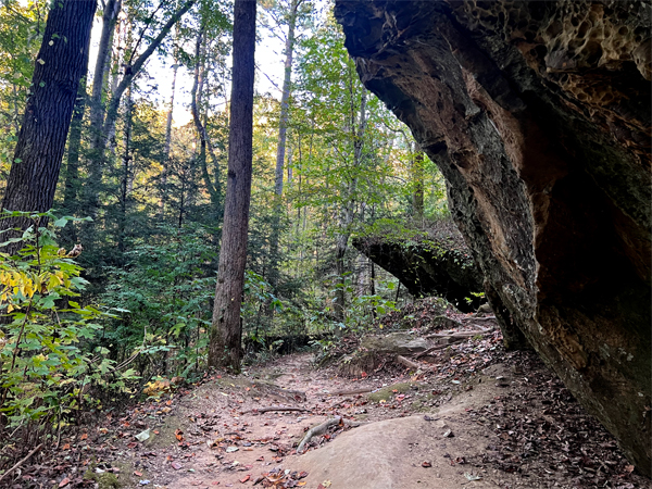
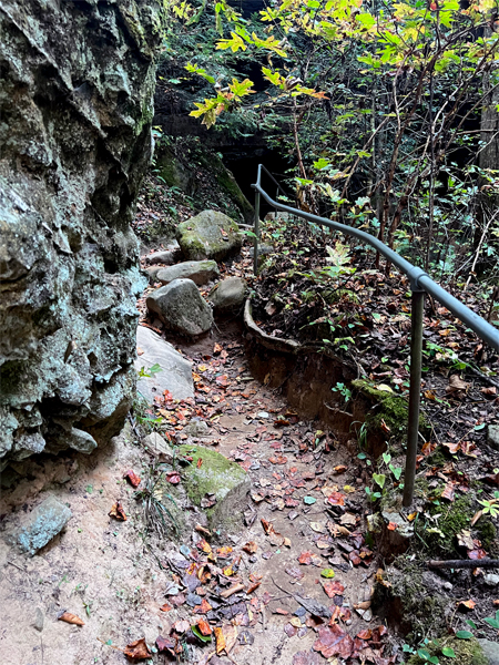
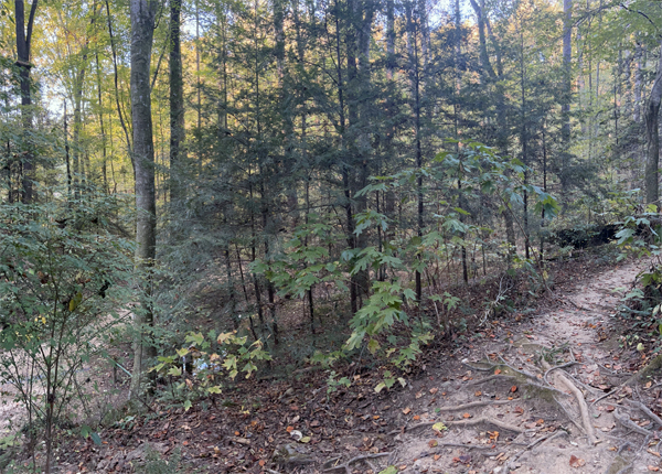
There is a small gift shop
plus an entry fee for adults and children to walk the one-mile trail
which has lots of rock formations. Good walking shoes are recommended
due to roots and stairs up and down. The sandstone and iron ore arch
(148 feet long) is said to be "the longest Natural Bridge east
of the Rockies." But NOT the highest at only 60 feet high.
People can no longer walk across the bridge, for safety reasons. |
|
|
| |
 |
|
|
|
|
 |
 |
 |
|
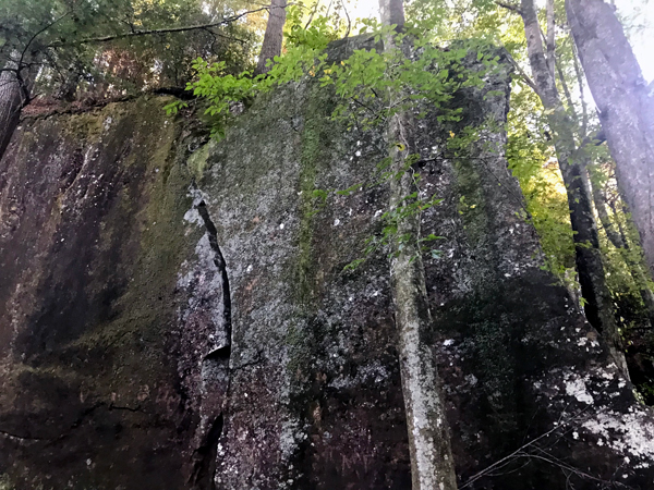
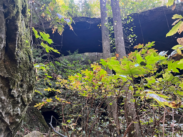
An Indian face is said to be in the rock formation
shown below. Can you see it?
|
 |
 |
 |
 |
 |
 |
|
|
|
|
|
 |
 |
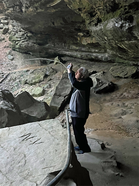
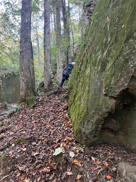
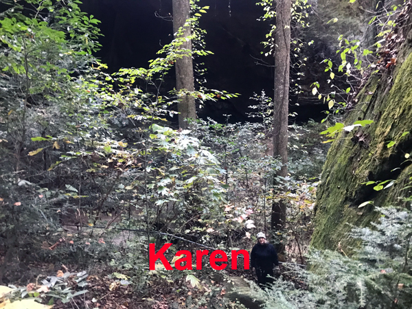
Below: Lee Duquette went around the big
rock and up the hill and from somewhere up above, he photographed Karen
Duquette who was waiting below. While up there, Lee found a little girls
jacket and brought it back to the gift shop so it could get back to
its owner. They did not see anyone else the whole time they were up
here. |
|
|
l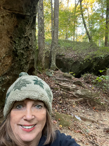 |
|
Then it was time to head back
down the hill. |
|
|
|


 If you have seen all of 4 of the Alabama sites, continue on to


