|
|
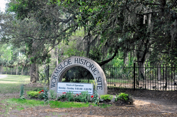
Wormsloe is usually open 9 a.m.-5 p.m. except Holidays- call
the park for hours) |
 |
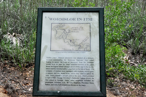
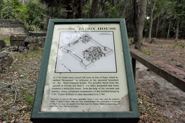
FYI: Wormslow
or Wormsloe???? Noble Jones originally spelled his plantation "Wormslow"
but various early documents spelled it both ways. In the mid-1800s,
his great-grandson settled on"Wormsloe" as the standard spelling. |
Above quote, and
other quotes below are from a brochure received at the entrance. It
must be kept with you at all times because it serves as a payment receipt |
 |
 |
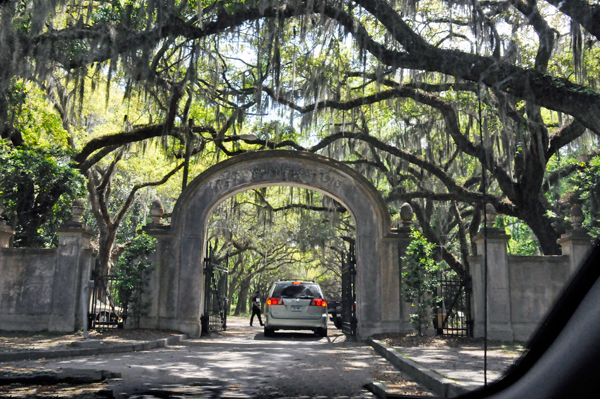
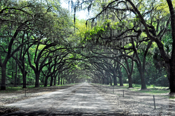
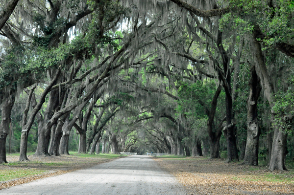
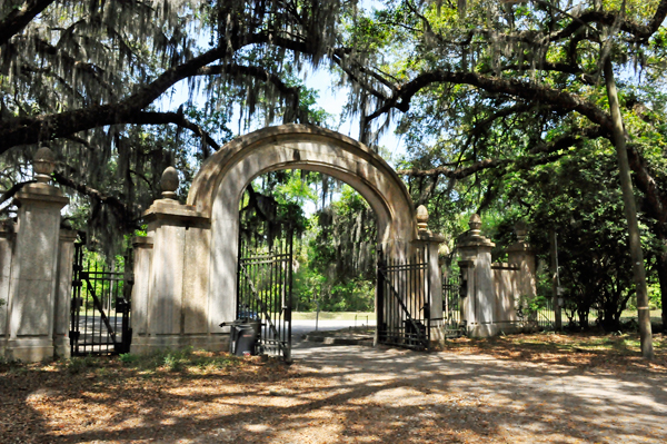
The two RV Gypsies
had to park their car and walk to a window to pay the entrance fee.
Then they returned to their car and drove on an amazing entrance road
to explore Wormsloe Historic Site. This road is dated back to 1816,
but may have been in use as early as the mid-1700s. |
 |
 |
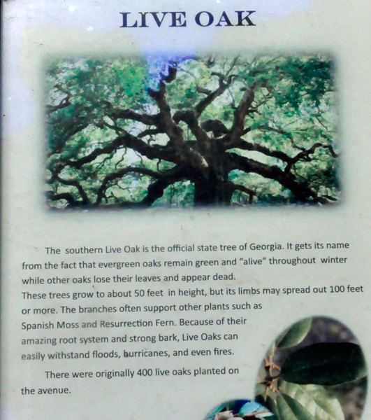
This breathtaking
picturesque dirt road was lined on both sides by more than 400
live oak trees that were planted in the early 1890s by Wymberley Jones
De Renne to commemorate the birth of his son, Wymberley Wormsloe De
Renne. The trees were covered with Spanish moss and almost formed a "tree
tunnel" over the road. The road was about one-mile long. |
 |
 |
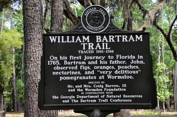
Once parked in
the parking lot, the two RV Gypsies enjoyed an easy stroll on the William
Bartram Trail. |
 |
 |
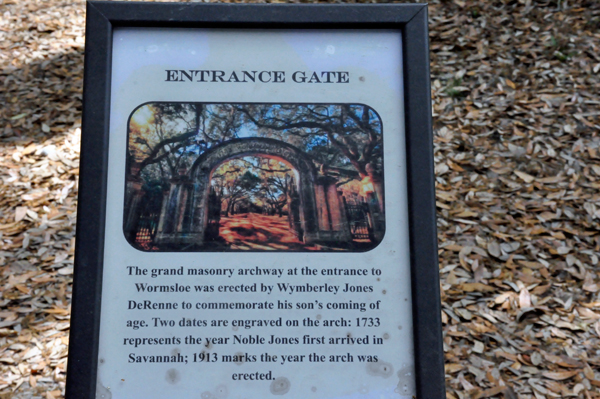
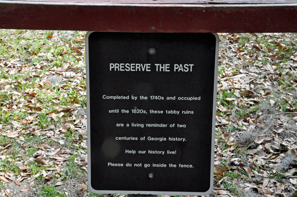
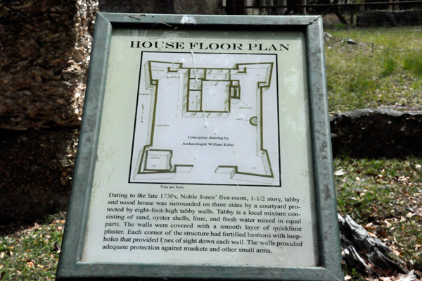
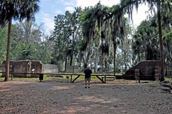
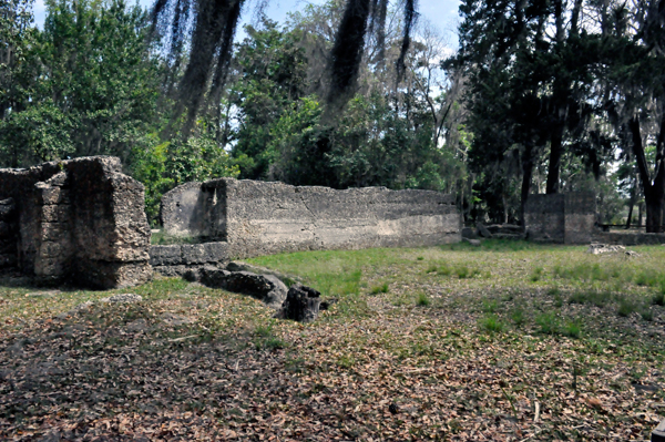
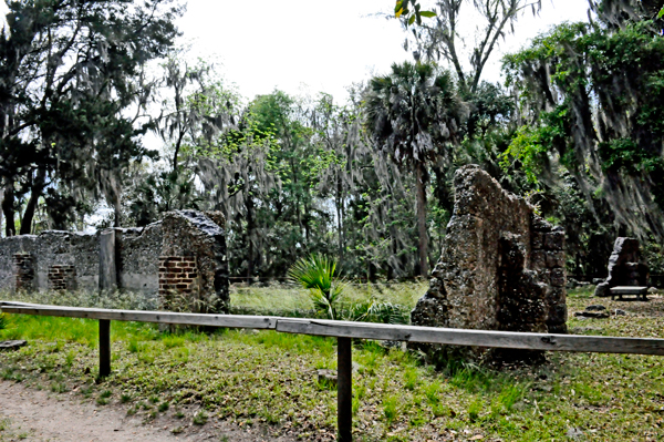
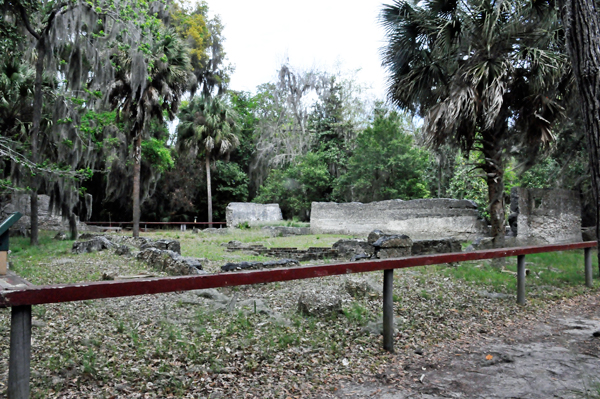
 Below:
The ruins of Wormsloe, the colonial estate of Noble Jones (1702-1775),
a carpenter who arrived in Georgia in 1733 with James Oglethorpe and
the first group of settlers from England. The ruins is the oldest standing
structure in Savannah. Below:
The ruins of Wormsloe, the colonial estate of Noble Jones (1702-1775),
a carpenter who arrived in Georgia in 1733 with James Oglethorpe and
the first group of settlers from England. The ruins is the oldest standing
structure in Savannah.
Surviving hunger, plaque and warfare, Jones served the colony as doctor,
constable, Indian agent, Royal Councilor and surveyor, laying out the
towns of Augusta and New Ebenezer. He also commanded a company
of marines to defend the Georgia coast from the Spanish. He died at
the beginning of the American Revolution, but his descendants sustained
Wormsloe until the state of Georgia acquired most of the property in
1973.
The name Wormsloe came from Jones' township in England. |
| Above quote from https://gastateparks.org/Wormsloe |
 |
 |
 |
 |
 |
 |
 |
 |
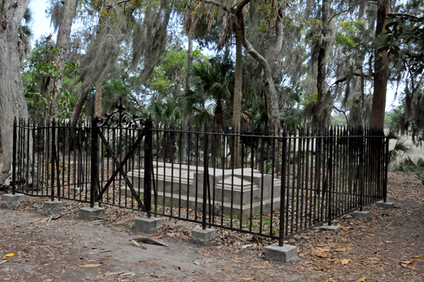
Below: A stone
monument and iron fence mark the original FAMILY burial site at Wormsloe.
Jones was buried here in 1775 next to his wife Sarah. Their youngest
son Inigo Jones' remains were moved from the site to Colonial Cemetery
in downtown Savannah and Jones' great-grandson was moved to Bonaventure
Cemetery near Thunderbolt, Georgia. In 1875, ;a stone monument was placed
at the above grave site. |
 |
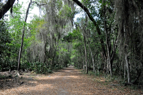
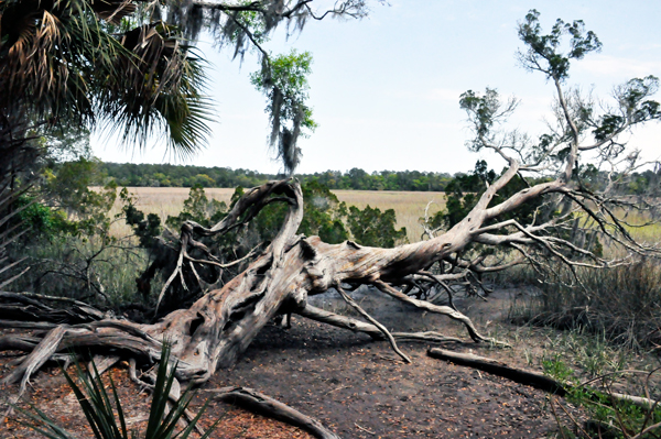
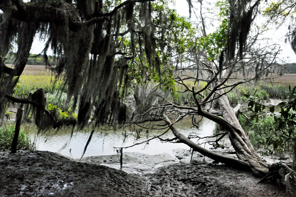
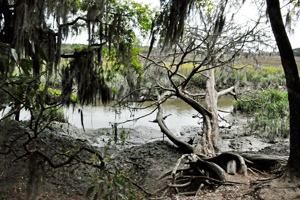
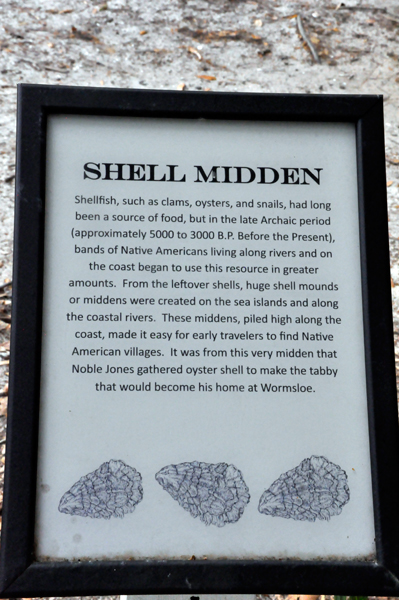
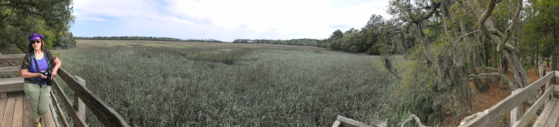
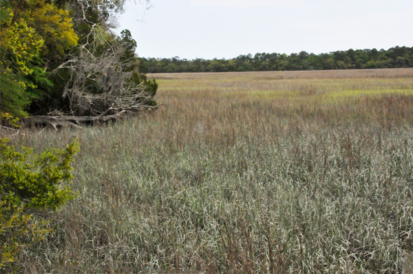
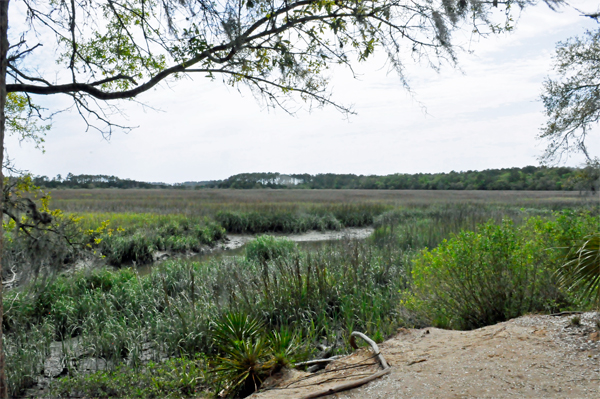
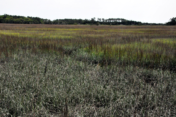
There are seven
miles of natural trails here. The two RV Gypsies were amazed at the
fallen trees, and their shapes and curves. |
 |
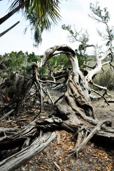 |
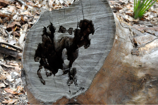
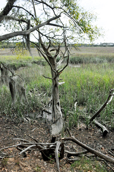
Below: Lee saw
some odd shape in a tree that Karen did not see. |
 |
 |
 |
 |
 |
 |
 |
 |
 |
 |
 |
Exiting the park,
the two RV Gypsies once again got to enjoy the amazing live oak tree
lined road. |
 |
 |
|
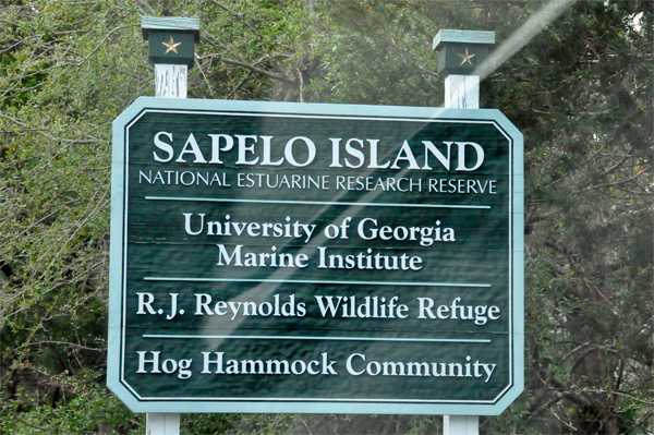
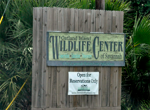
Below: Two other
places the two RV Gypsies tried to visit but could not. The Sapelo Island
sign took them to a dead-end where a ferry must be taken. The ferry
was out at the time. |
 |
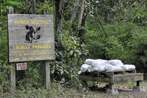
The Oatland Island
Wildlife Center was open for reservations only. But they thought the
Garden Moo-Poo display and sign to be unique. |
 |
 |