|
|
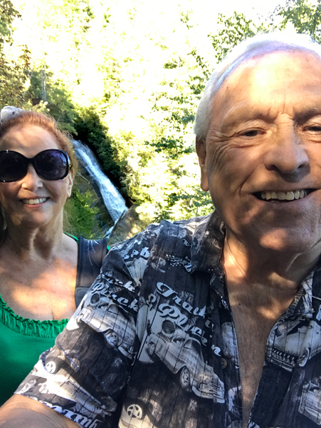
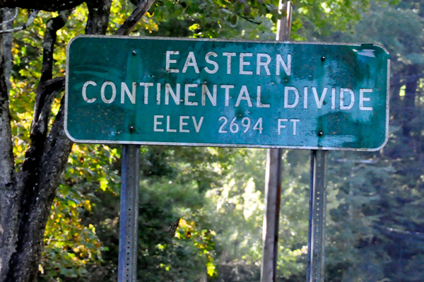
While driving
from Pearson's Falls to Gorges State Park, Lee Duquette drove past the
Eastern Continental Divide sign a couple of times, but was only able
to stop and photograph it in one particular spot. It was not a totally
safe place to be standing and taking a photo though, so Karen Duquette
took the photo as fast as she could.
Throughout their travels, the two RV Gypsies have also passed the
Continental Divide sign in 12 other spots, which can be seen by using
the RED Letter C at the bottom of most pages and scrolling down to Continental
Divide. |
|
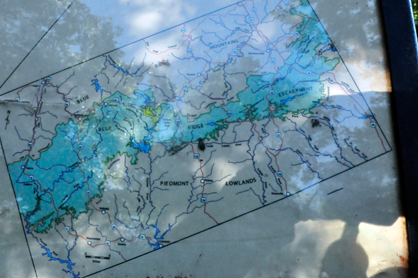
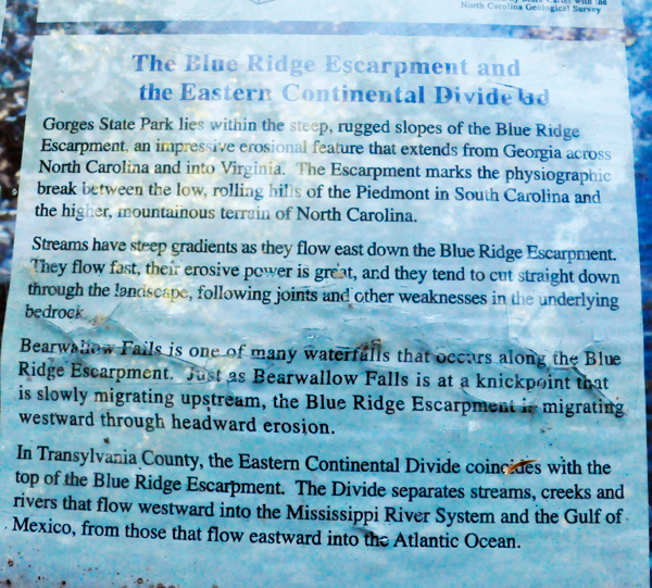
Below: Signs
in Gorges State Park about The Blue Ridge Escarpment and the Eastern
Continental Divide. |
 |
 |
 |
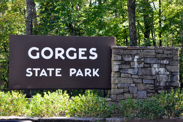
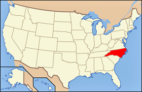
Below: Gorges
State Park is a 7,709-acre North Carolina state park in Transylvania
County, North Carolina in the United States. The land, along Jocassee
Gorges, was purchased by the state from Duke Energy Corporation in 1999.
It is North Carolina's western most state park and one of the state's
newest. The park is adjacent to part of the Pisgah National Forest and
the N.C. Wildlife Resources Commission's Toxaway Game Land. Gorges State
Park provides the principal access to the Horsepasture River on these
adjoining public lands. |
 |
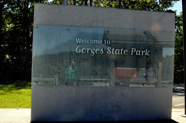 |
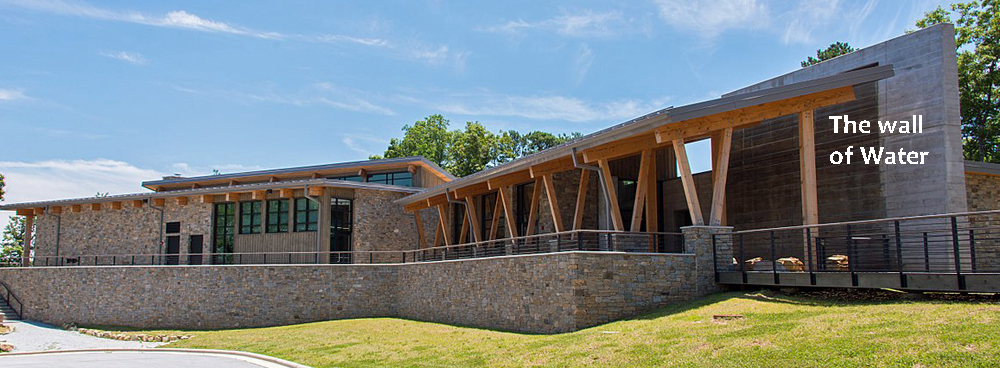
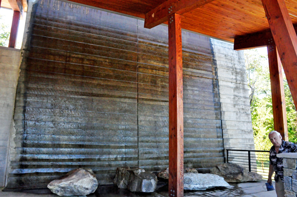
Below: After
entering Gorges State Park, the two RV Gypsies stopped at the Visitor
Center. Just outside of The Visitor Center, was a big wall with water
running down it (which did not photograph well). There was also a pavilion
where the two RV Gypsies stopped to have their picnic lunch and enjoy
a small sprinkling of the beginning of fall colors. |
 |
 |
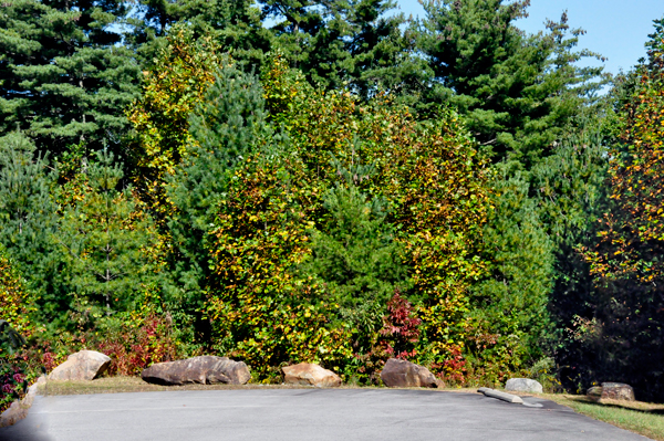 |
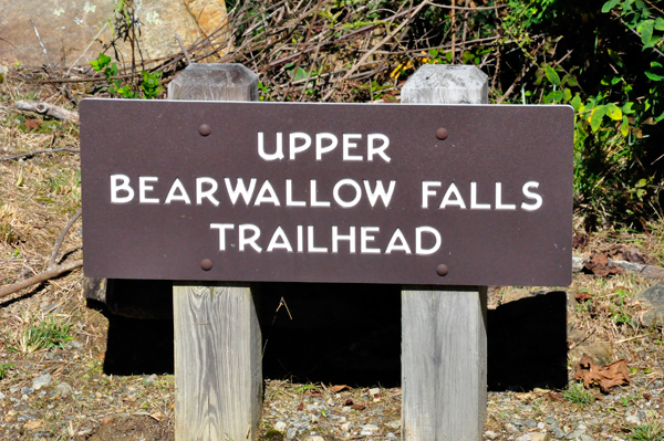
Below: Lee Duquette decided that most waterfalls in the park were too long
for them to hike to on this date. And even though they do hike a lot,
they are not really big on hiking, unless there is a "present"
at the end of the hike - like a waterfall. However, the trail to the
Upper Bearwallow Falls was near the Visitor Center and it was just a
short, easy hike, a one-half mile hike (each way). So that is what Lee
and Karen Duquette decided to do. |
 |
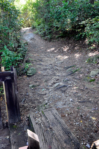 |
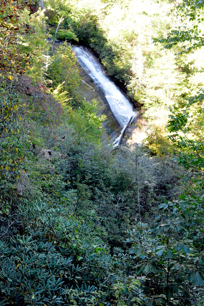
The trail crossed
a small paved park road then led the two RV Gypsies via a blue diamond
shape marker on trees on a mostly downhill trail. Karen Duquette heard
the falls through the trees shortly into the hike.
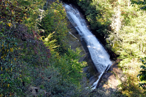
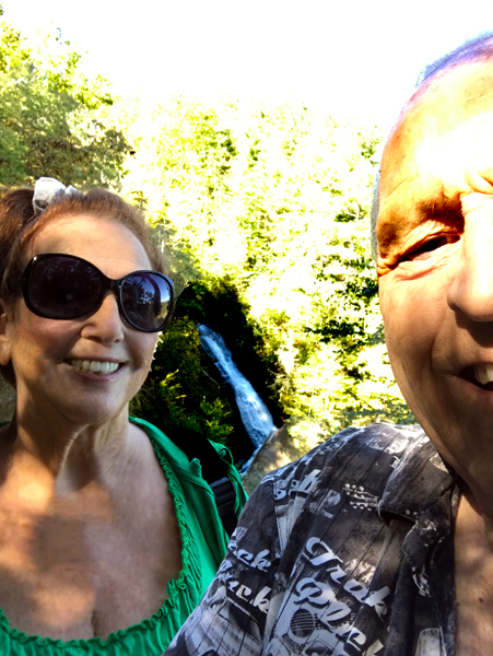
Upper Bearwallow Falls was nice, but viewable only from a platform
at the end of the trail. The falls tumbled down an angled rock outcrop
in a forest of hemlock, pine, and leafy deciduous trees. But the trees
have grown so big, that only a small portion of the falls could be seen. |
 |
 |
 |
 |
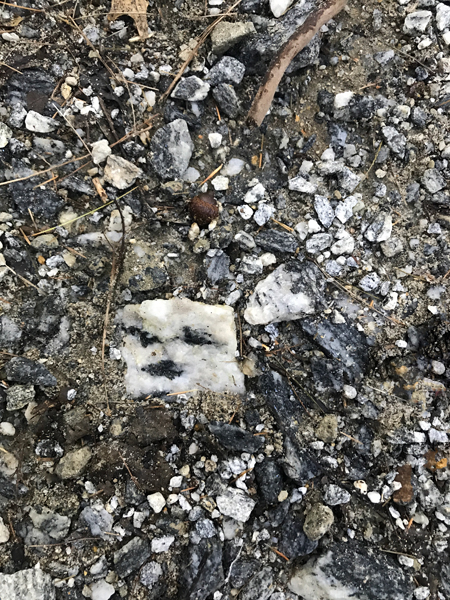
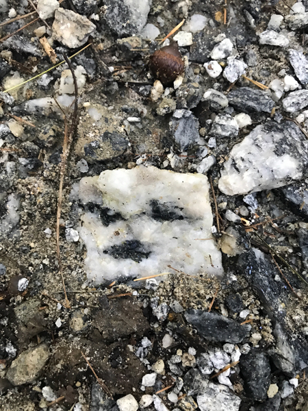
Below: Lee Duquette saw a rock in the ground that he thought looked like a
face, so he photographed it, not once, but twice. |
 |
 |
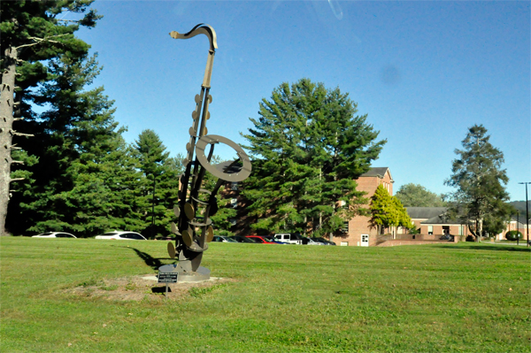
Below: Shortly after leaving Gorges State Park, Karen Duquette quickly photographed
a big saxophone somewhere along the way. (photos taken through a closed
window in the moving car) |
 |
 |
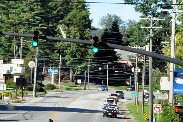
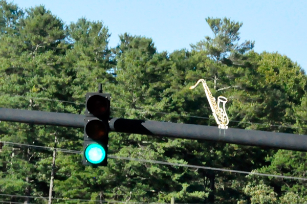
Below: However, Karen Duquette almost missed photographing the small saxophone
on top of the traffic lights. But she had a quick enough reaction to
capture the photo. |
 |
 |

 Continue
on for
Continue
on for 


