|
|
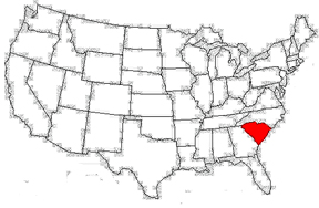
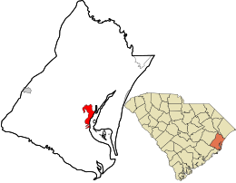
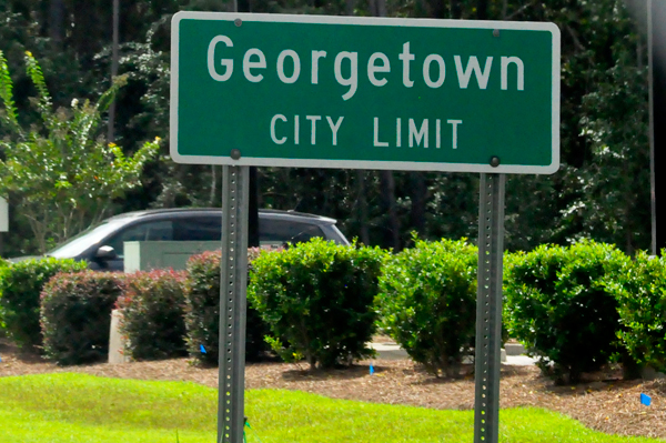
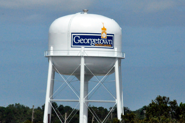
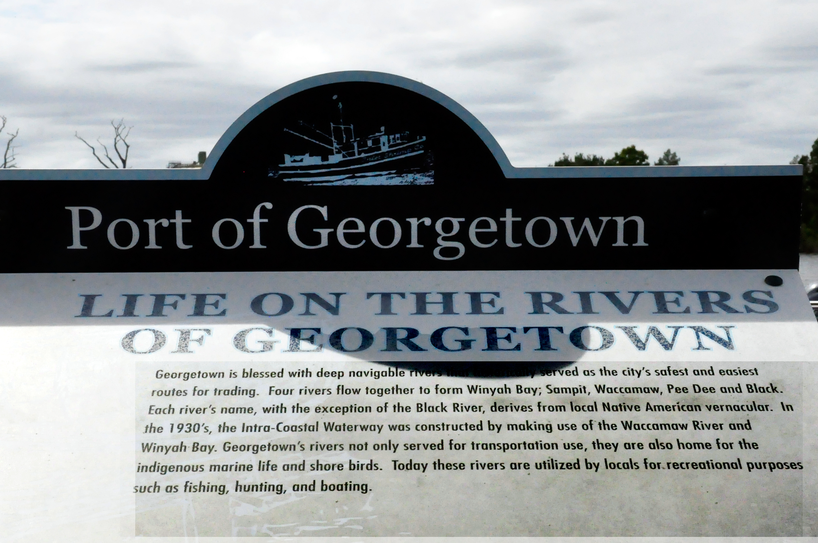
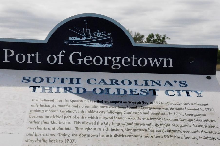
Georgetown
is the third oldest city in the U.S. state of South Carolina and the
county seat of Georgetown County, in the Lowcountry. Located on Winyah
Bay at the confluence of the Black, Great Pee Dee, Waccamaw, and Sampit
Rivers, Georgetown is the second largest seaport in South Carolina,
handling over 960,000 tons of materials a year.
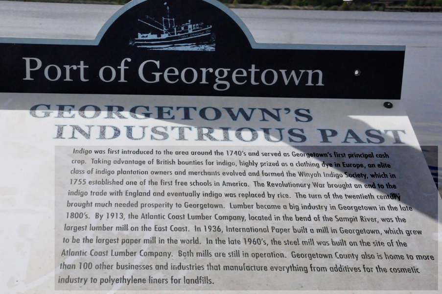
Georgetown was the commercial center of an indigo- and rice-producing area. The city has a total area of 7.5 square miles of which 6.9 square miles are land and 0.62 square miles is water.
|
 |
 |
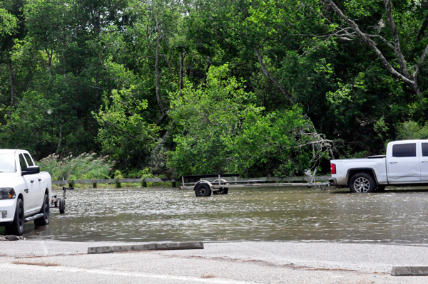
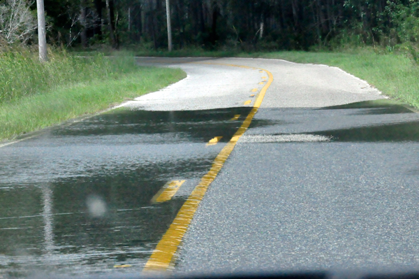
Below: A dead-end, flooded road and parking lot - not where the Two RV Gypsies thought they were going. |
 |
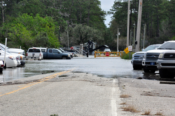 |
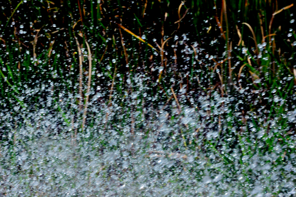
Below: The flooded road and the water splashing against the side window of
the two RV Gypsies' car. |
 |
 |
 |
 |
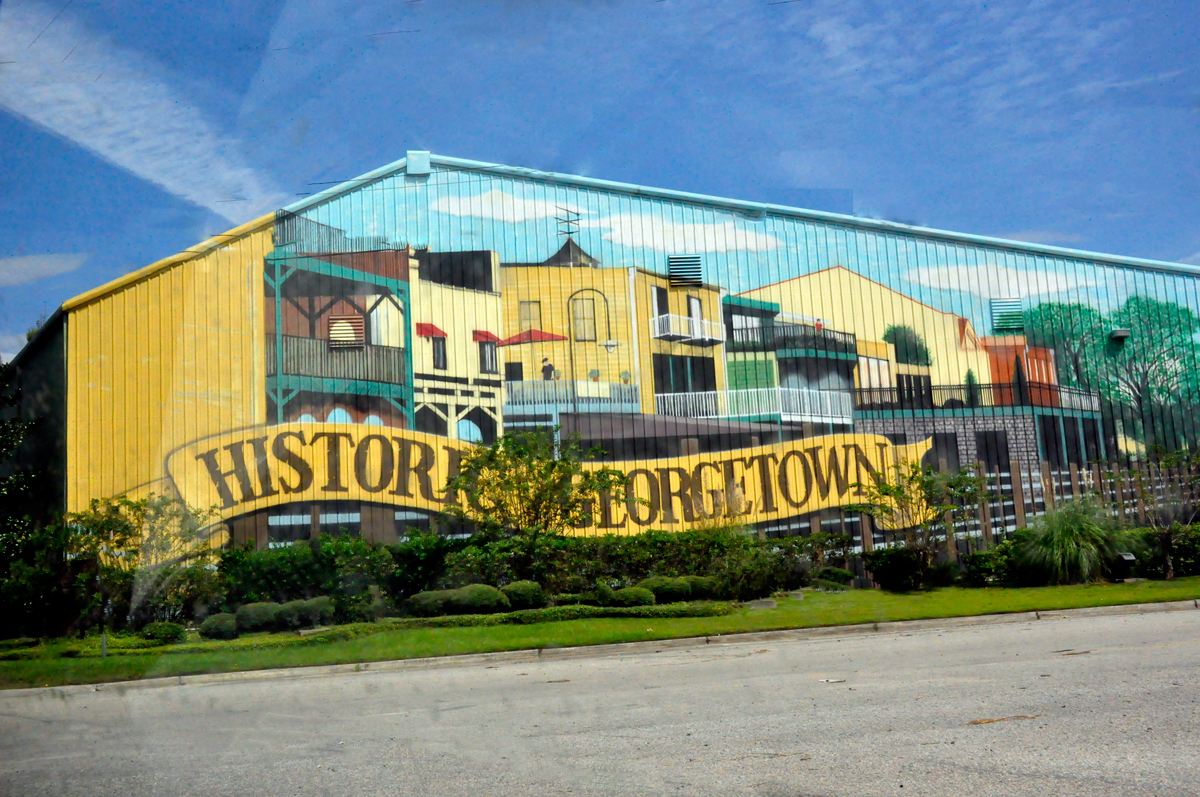
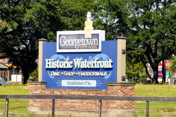
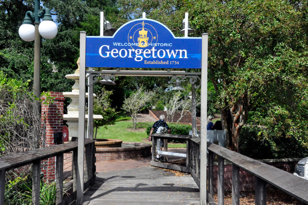
Historic Georgetown, South Carolina, is a beautiful quaint waterfront community easily accessible by land, sea or air. It is located just off of highway 17 half-way between Myrtle Beach and Charleston. The Georgetown County airport is less than 5 miles away and if traveling by boat, the harbor is a great stopover along the ICW.
Surrounded by live oak lined streets, Downtown Historic Georgetown is the 3rd oldest city in the state and is filled with history, charm and personality. It is a must visit destination for waterfront shopping, dining, boating, fishing, historic tours, and ghost tours. |
 |
 |
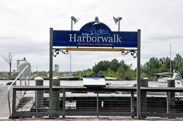
Lee and Karen Duquette took a leisurely stroll along the Harborwalk at the
edge of the historic district. In the span of a quarter-mile, the Harborwalk,
a wide wooden boardwalk, is bordered by a row of small restaurants on
one side and the Sampit River on the other. The Sampit River empties
into Winyah Bay. |
 |
 |
 |
 |
 |
 |
 |
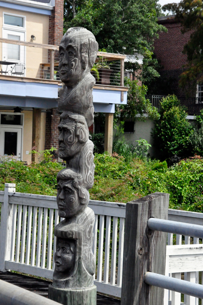
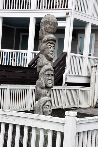
Below: A two-sided
facial totem pole. |
 |
 |
Below: After leaving the short boardwalk, Lee and Karen Duquette walked around
the town. |
 |
 |
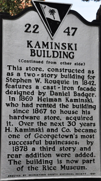 |
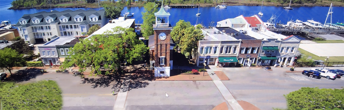
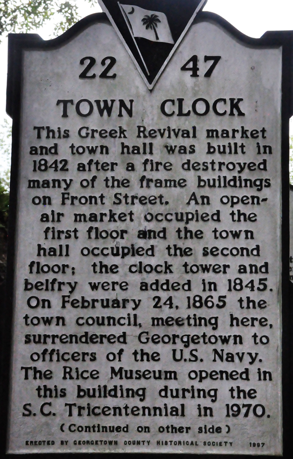
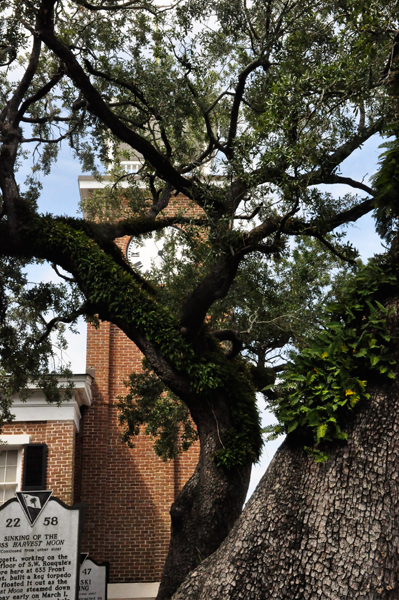
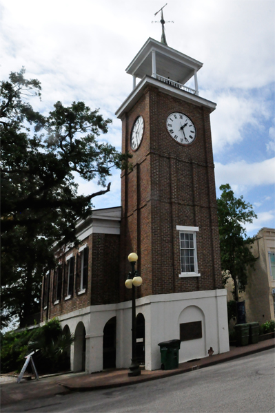
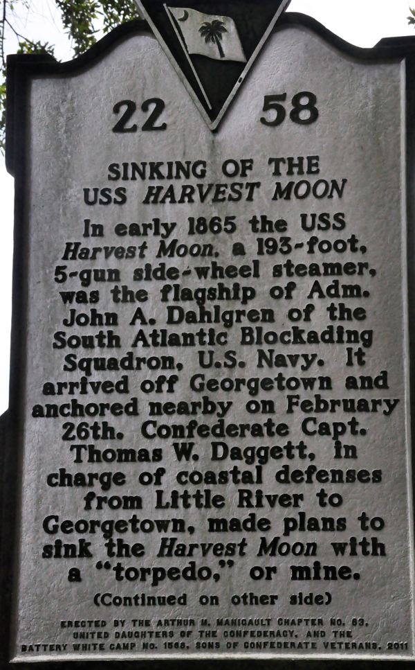
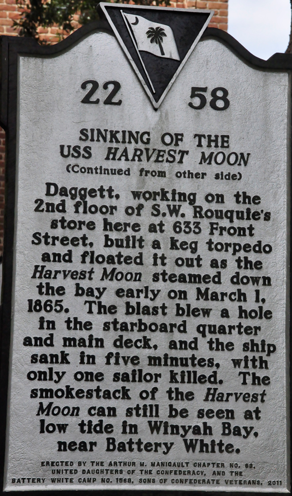
The Town Clock, described in the plaque above, and the Old Market Building houses a large portion of the Rice Museums collection.
The clock tower is the most notable feature of the Greek Revival structure. The lot where this building stands has housed a town market since 1788. In 1841 a fire destroyed many Front Street structures. An earlier market, made of wood, had sustained severe damage in the Hurricane of 1822 and was torn down as a fire break. The market was rebuilt in 1842, and the clock tower was added in 1845.
Above quote from https://www.scpictureproject.org/georgetown-county/georgetown-harborwalk.html
|
 |
 |
 |
 |
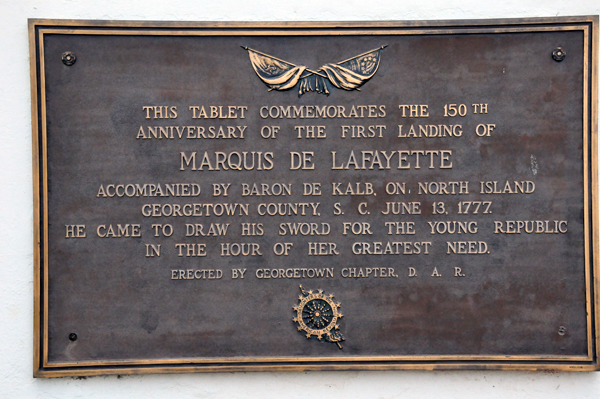
Below: A plaque for Marquis
De Lafayette |
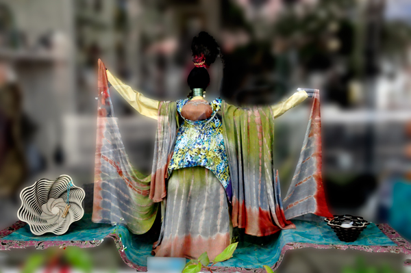
Below: Karen Duquette loved this window
display |
 |
 |
|
|
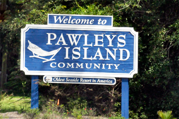
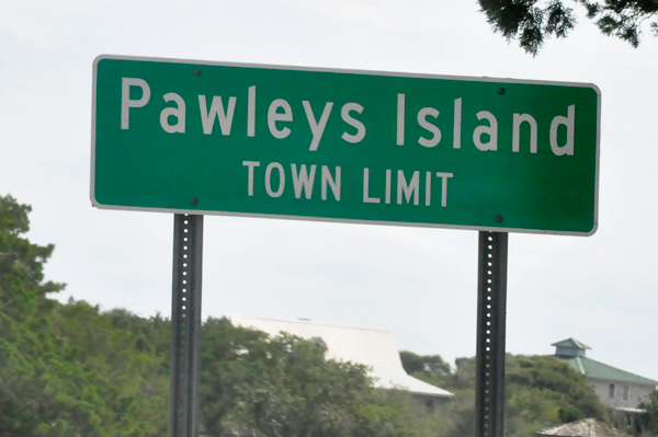
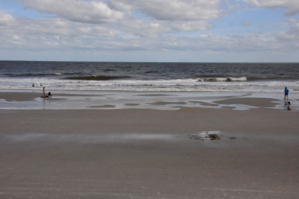
Below: Pawleys Island, a town on the barrier island of the same name, is 70
miles north of Charleston and 25 miles south of Myrtle Beach. It is
is known as one of the oldest summer resorts on the East Coast, known
for its beaches and sand dunes. Several of the houses in the Pawleys
Island Historic District date to the 18th century. |
 |
 |
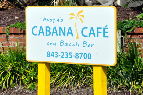
Austin's Cabana Cafe and Beach Bar
1 Norris Drive
Pawleys Island, S.C. 29585
The place Lee Duquette decided he wanted to have his birthday dinner. |
 |
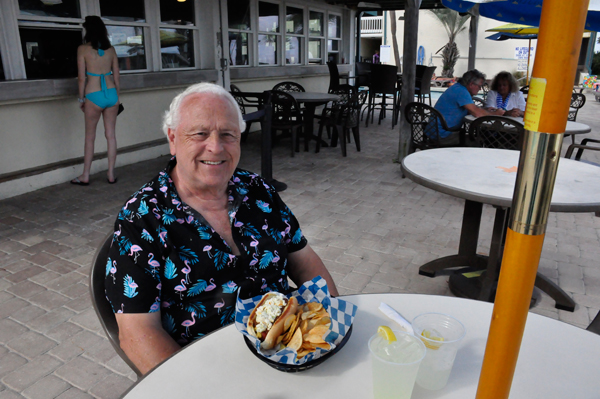
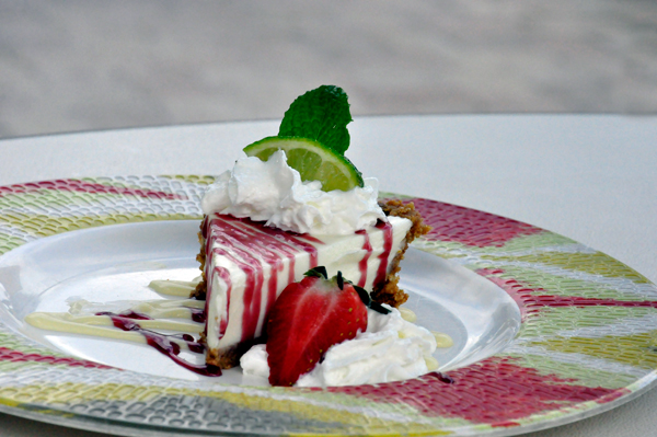
Lee Duquette chose a giant chili dog and key lime pie for his birthday dinner.
Karen Duquette chose a fried lobster tail. This cafe did NOT give any
free birthday desert, nor any kind of birthday acknowledgement. |
 |
 |
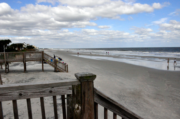
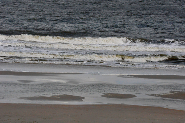
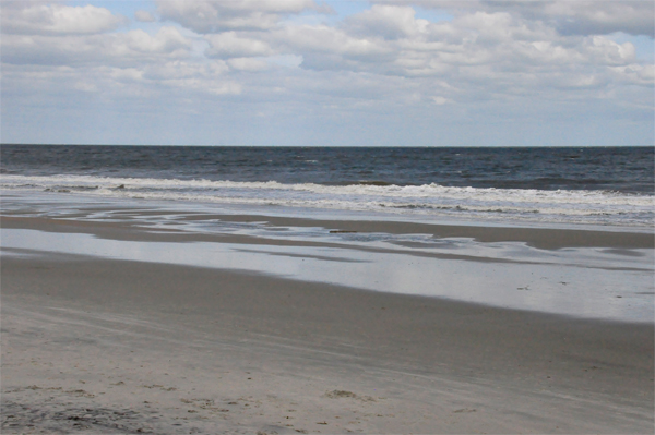
The two RV Gypsies had a small glimpse of the Atlantic Ocean as they ate and enjoyed the relaxing sound of the ocean waves. After eating, they took about 10 steps away from their table to the stairs and boardwalk leading to the ocean. |
 |
 |
 |
 |
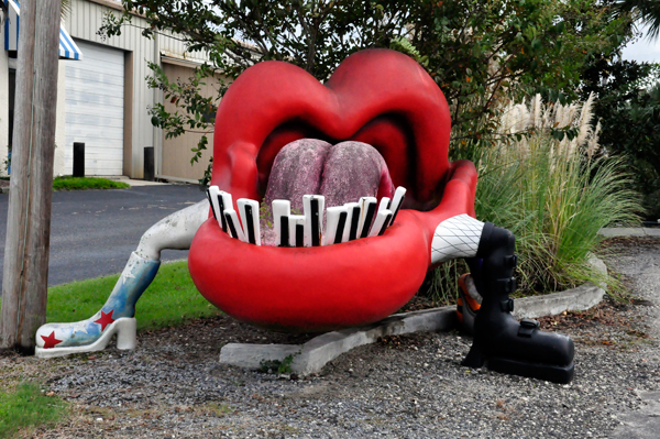
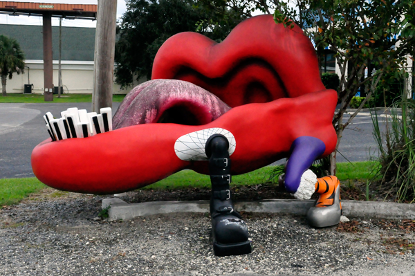
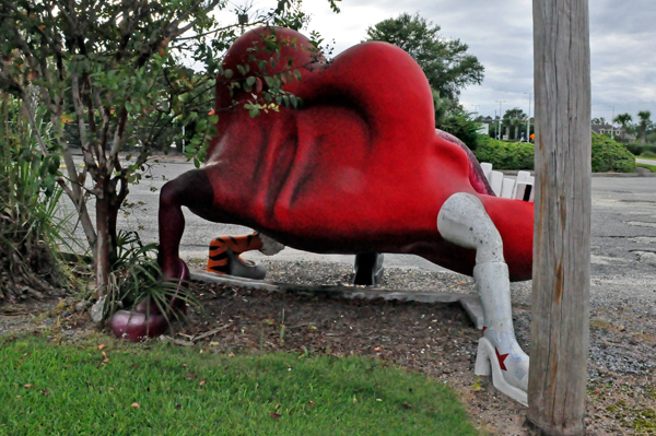
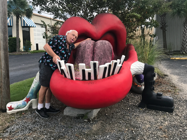
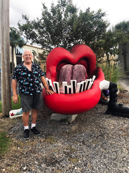
Leaving Pawleys Island and heading back to their campground in Lake City,
Lee Duquette noticed something bright red and odd on the opposite side
of the road, so he did a quick U-turn to check it out. (He was driving
the toad, not the RV) |
 |
 |
 |
 |
 |