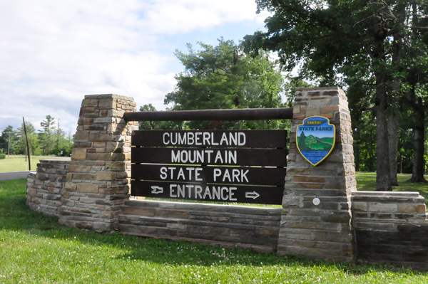
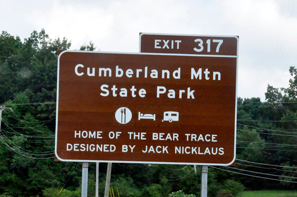
Cumberland Mountain State Park is situated on the Cumberland Plateau, a segment of the great upland, which extends from western New York to central Alabama. It is said to be the largest timbered plateau in America. Cumberland Mountain State Park began as part of the greater Cumberland Homesteads Project, a New Deal-era initiative by the Resettlement Administration that helped relocate poverty-stricken families on the Cumberland Plateau to small farms centered on what is now the Cumberland Homestead community. This 1,720-acre park was acquired in 1938 to provide a recreational area for some 250 families selected to homestead on the Cumberland Plateau. Cumberland Mountain State Park is situated on the Cumberland Plateau, a segment of the great upland, which extends from western New York to central Alabama. It is said to be the largest timbered plateau in America. Cumberland Mountain State Park began as part of the greater Cumberland Homesteads Project, a New Deal-era initiative by the Resettlement Administration that helped relocate poverty-stricken families on the Cumberland Plateau to small farms centered on what is now the Cumberland Homestead community. This 1,720-acre park was acquired in 1938 to provide a recreational area for some 250 families selected to homestead on the Cumberland Plateau.
|
 |
 |
 |
 |
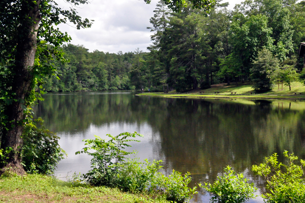 |
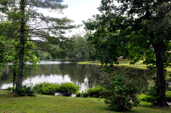
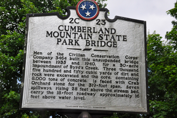
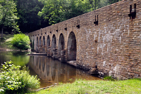
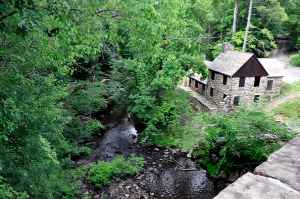
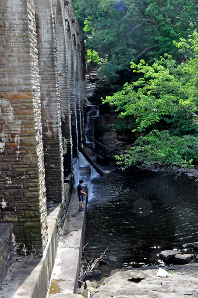
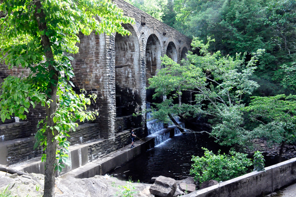
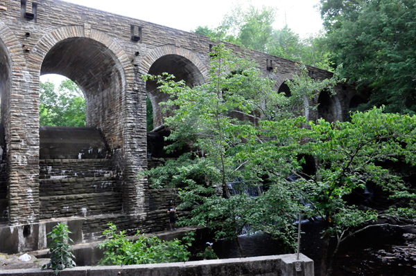
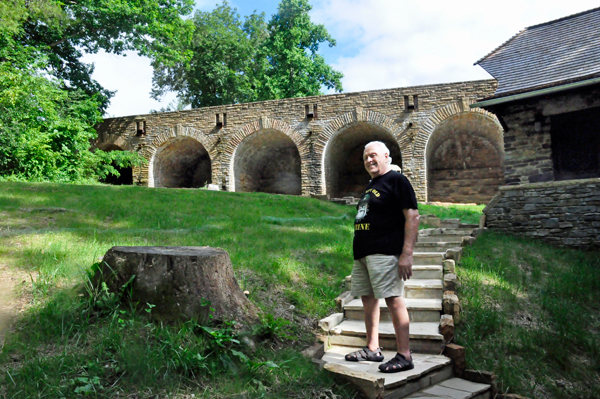
Cumberland Mountain State Park Bridge was built between 1935 and 1940 for a 30-acre impoundment of Bryd's Creek. Read the sign in the above photo for more information. The park is located around Byrd Lake, a man-made lake created by the impoundment of Byrd Creek in the 1930s. |
 |
 |
 |
 |
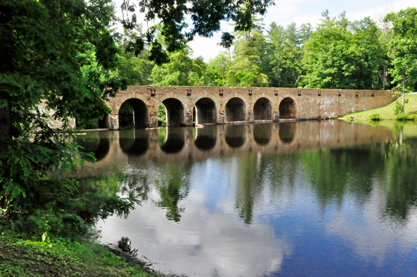
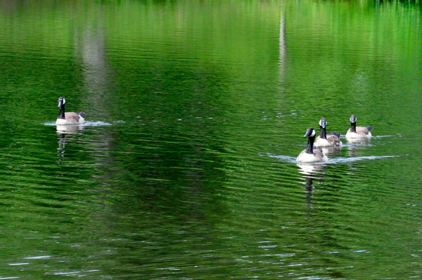
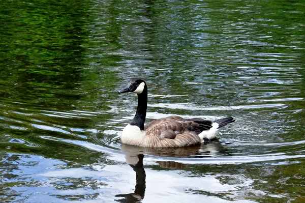
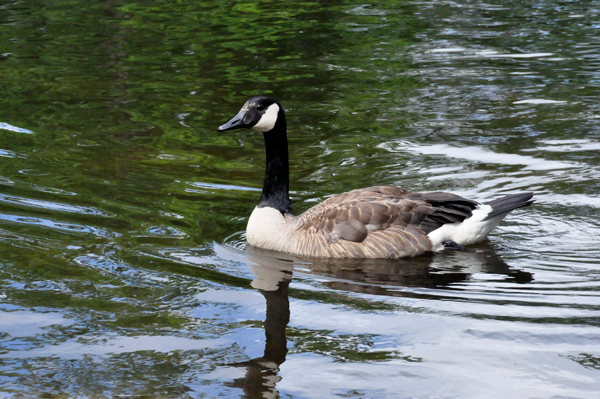
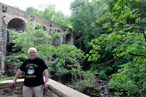
Just as they did in 2016, the two RV Gypsies strolled around Byrd Lake Trail which was only a 0.7 mile easy walk on a paved path. |
 |
 |
 |
 |
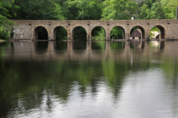
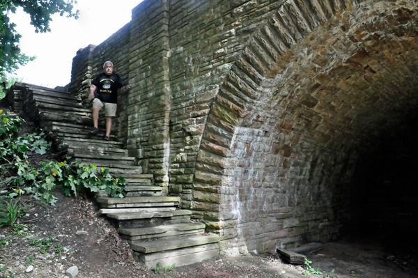
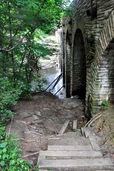
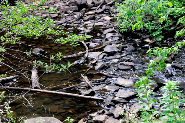
Below: Instead of hiking the Cumberland Plateau trail to the Byrd Creek Trail as they did in 2016, the two RV Gypsies just went to the other side of the bridge and took the stairs down for different views of the bridge itself. A link to the 2016 photos is at the bottom of this page. |
 |
 |
 |
 |
 |
 |
 |
 |
 |
 |
 |