 |
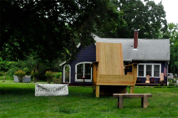
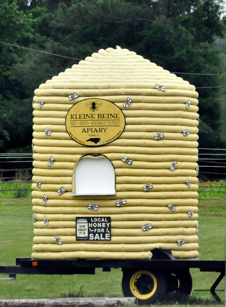
Below: A giant chair and a Honey Hive along the way. |
 |
 |
 |
 |
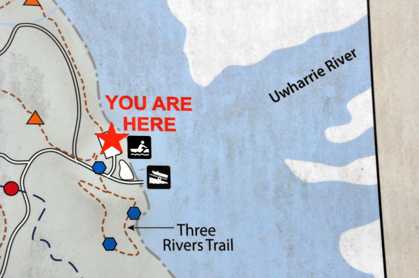
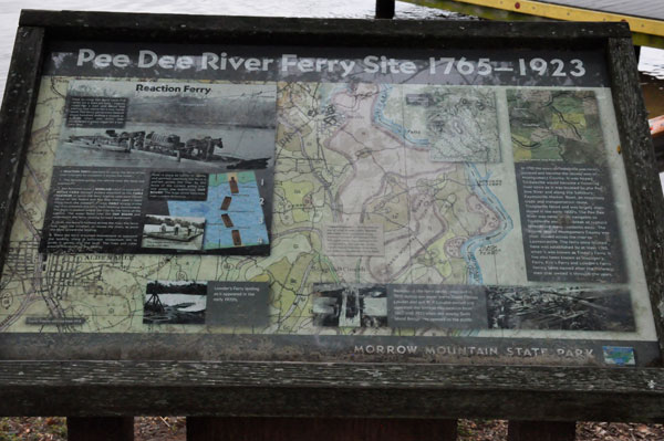
Below: A map showing the three rivers - Yadkin River, Pee Dee River, Uwharrie River, plus Mountain Creek, and Lake Tillery. |
 |
 |
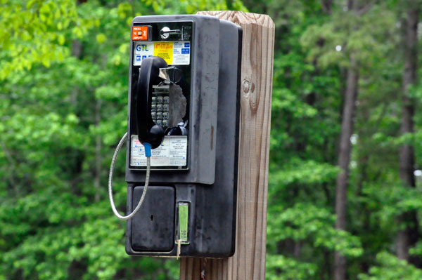
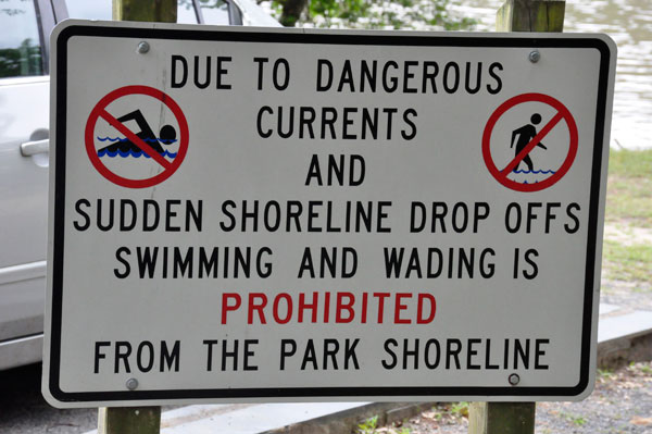
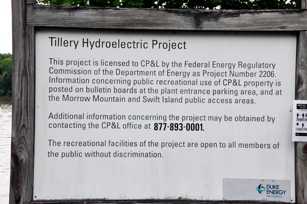
The two RV Gypsies parked their toad in the large parking area near the picnic area. Then they relaxed and enjoyed their nice picnic lunch while watching boats speeding by and a person fishing on Lake Tillery. |
 |
 |
 |
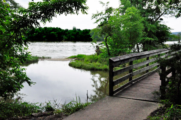 |
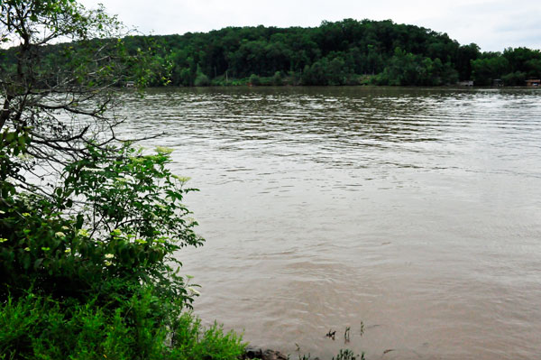
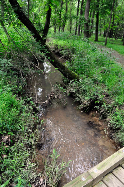
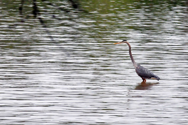
Below: The view from each side of the bridge shown above. |
 |
 |
 |
 |
 |
 |
 |
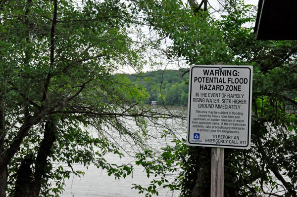
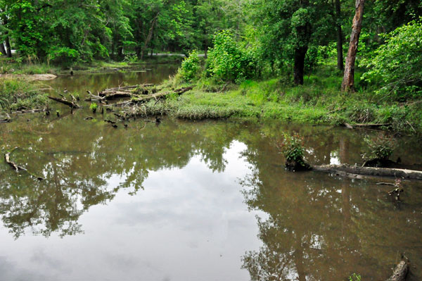
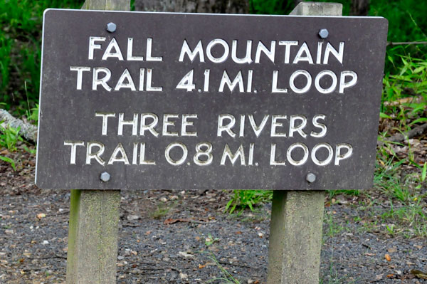
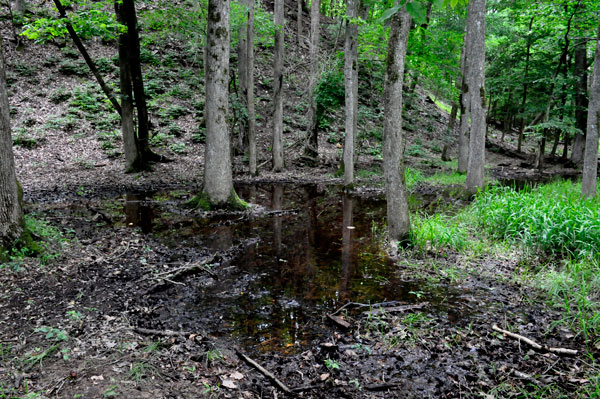
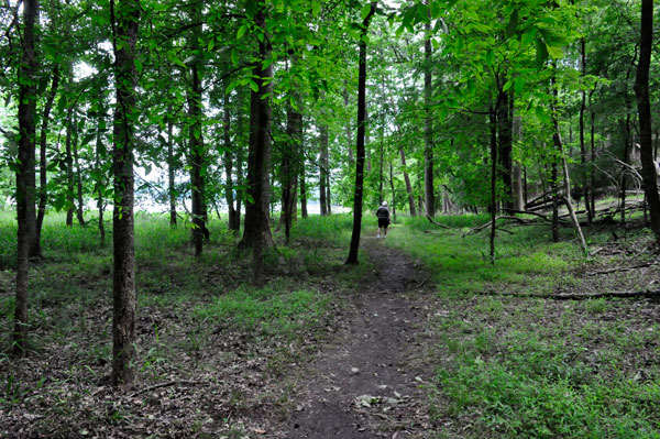
The two RV Gypsies hiked the Three Rivers Trail: Officially considered the nature trail of the park, this 0.6-mile trail has seen better days. Many of the piers that once dotted the Tillery shoreline have fallen in. The trail, starting in the Tillery/Boathouse parking lot, goes through marshes and woods connecting all of the park's ecosystems along one short trail. After passing through marshland and coastline, the trail ascends a small hill with deep woods and wildflowers. The trail then slowly goes up the mountain. But the two RV Gypsies turned around before that point because of the trail's unmaintained condition. The trail was quite wet and muddy on this date. |
 |
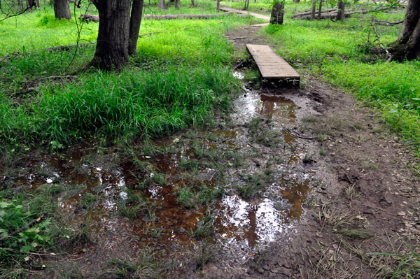 |
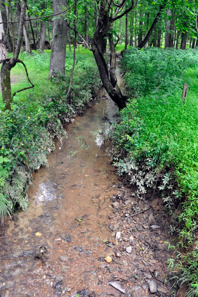
Below: The view from each side of another bridge on the trail. |
 |
 |
 |
 |
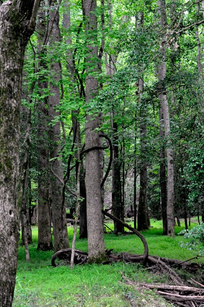
Below: Karen Duquette liked
the vine that twisted all around the trunk of the tree shown below.
She wonders how many people walk by this and do not even notice it. |
 |
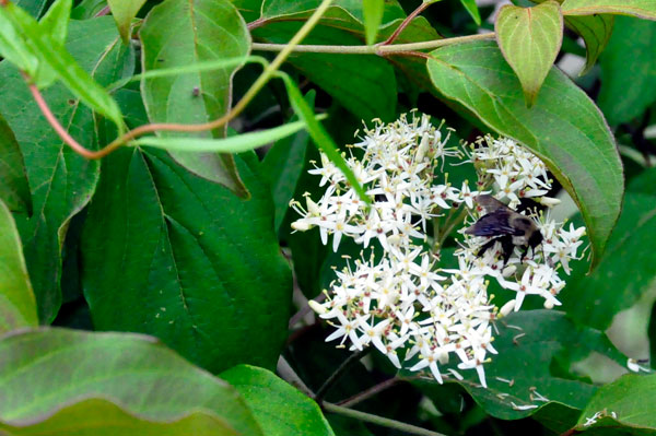
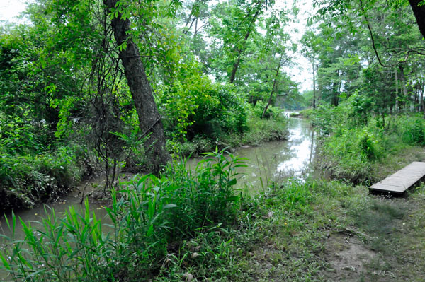
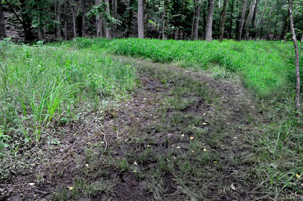
Below: More views of the Three Rivers Trail |
 |
 |
 |
 |
 |
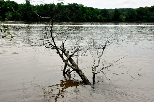
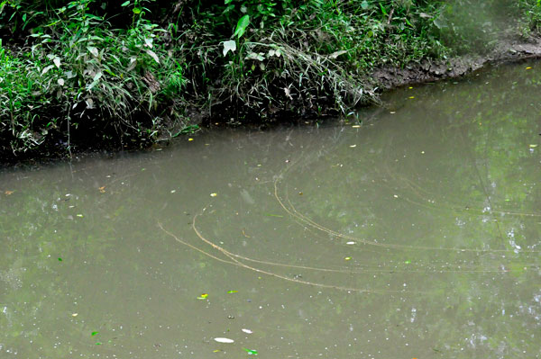
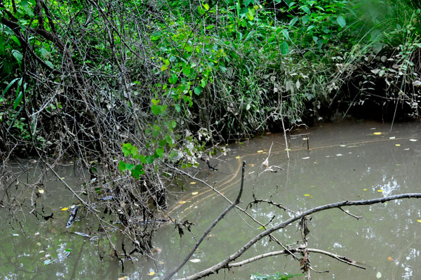
Below: Lee Duquette liked the design of the twigs in the water so he took a couple of photos. |
 |
 |