|
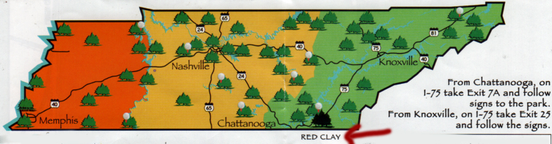
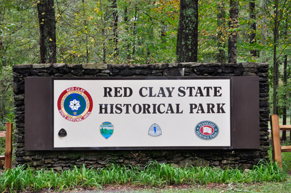
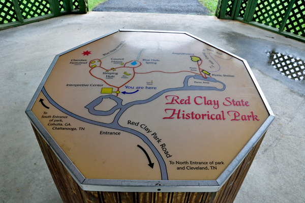
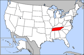
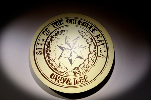
Red Clay State Historic
Park is a state park located in southern Bradley County, Tennessee.
The park is also listed as an interpretive center along the Cherokee
Trail of Tears. It encompasses 263 acres of land and is located
just above the Tennessee-Georgia state line, in Bradley County, Tennessee.
The park is open year round.
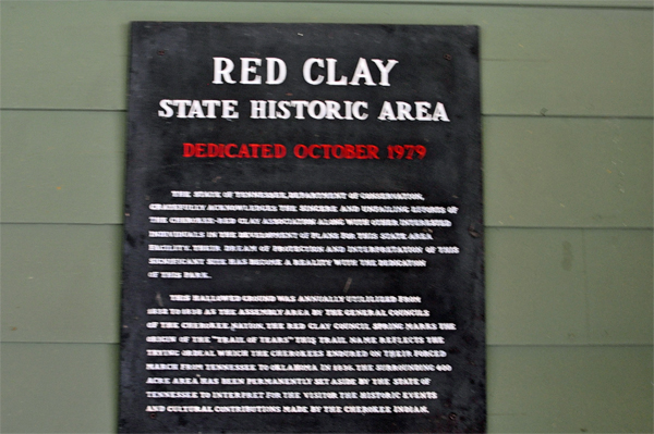
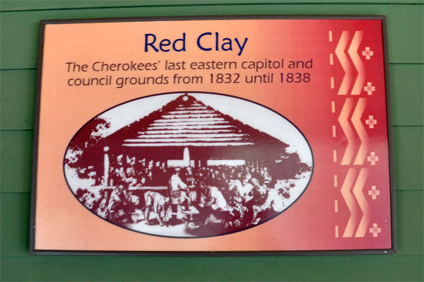
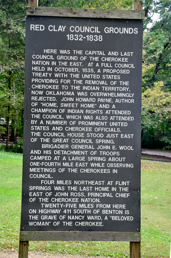
The park was the site of the last seat of Cherokee national government
before the 1838 enforcement of the Indian Removal Act of 1830 by the
U.S. military, which resulted in most of the Cherokee people in the
area being forced to emigrate west. Eleven general councils were held
between 1832 and 1837. Red Clay is dedicated to the preservation of
the Cherokee. |
 |
 |
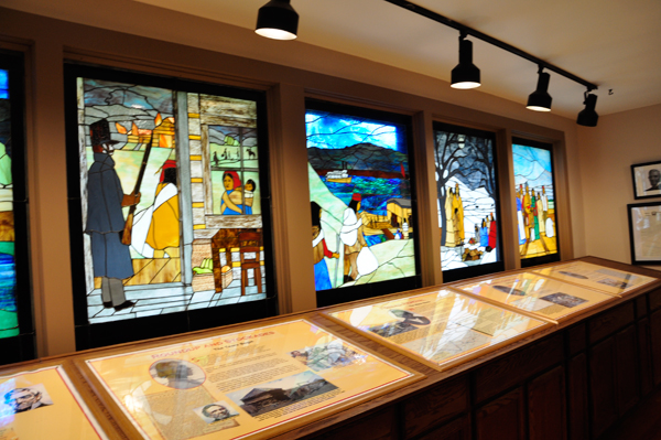
Below: Inside the Interpretive
Center |
 |
 |
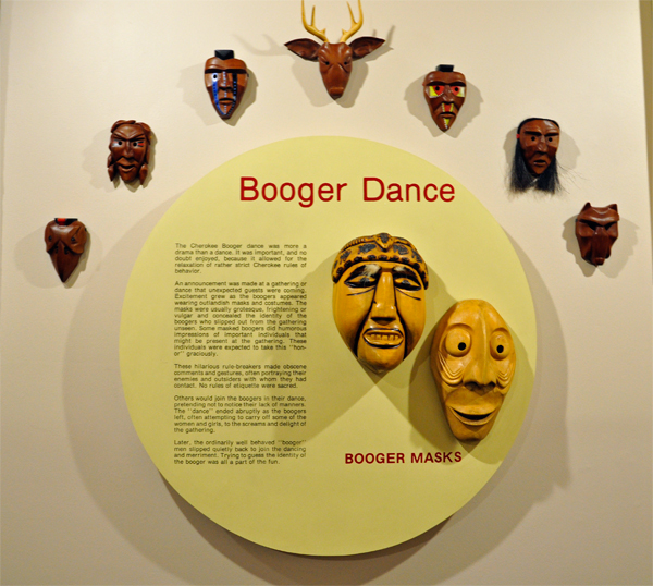
The Booger Dance:
"many persons' faces covered over" is a traditional
dance of the Cherokee tribe, performed with ritual masks. It is performed
at night-time around a campfire, usually in late fall or winter.
Before the dance begins, the male Cherokee performers, known as "Boogers",
discretely leave the party. Booger masks are colorful masks that represented
evil spirits. Booger masks were made from wood or hornets nests and
were originally made as part of the Booger Dance, a winter celebration
that ensured evil spirits could not disrupt the coming growing season.
The Boogers also represent the malevolent spirits of those who oppose
the Cherokee. They act in a stereotypically lewd manner by chasing the
females around, grabbing them if possible, to satirize and ridicule
what is seen as the non-Cherokee's predatory lust for the Cherokee.
The dance and accompanying music are traditionally believed to drive
away or offer protection against the inimical spirits, and those in
whom they dwell, striking fear into their hearts, while providing comedic
relief for the tribal members. Eventually, these masks came to resemble
the faces of the White trespassers.
The masks could be fashioned from gourds, animal skins, or buckeye
wood. The dance has also been the subject of much scholarship. |
 |
|
 |
 |
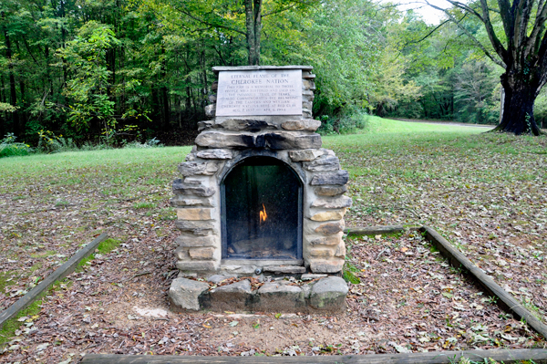
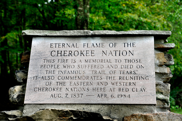
Below: The
Eternal Flame of the Cherokee Nation |
 |
 |
 |
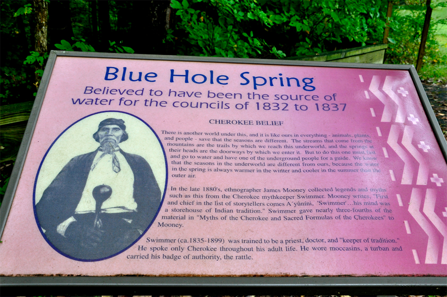
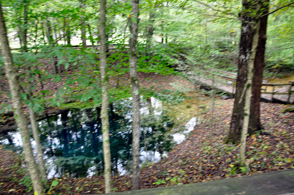
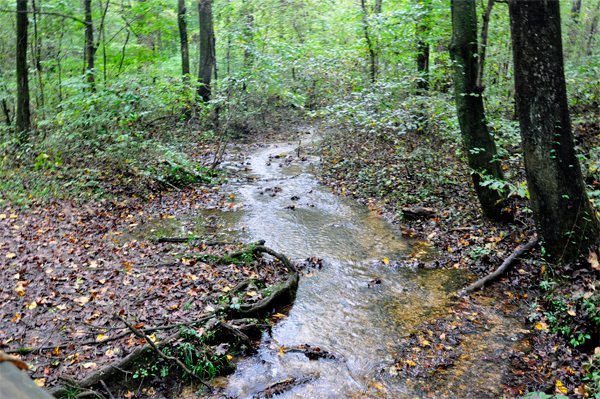
One of the most fascinating
spots to visit while at Red Clay is the Council Spring. It is a natural
landmark which arises from beneath a limestone ledge to form a deep
pool that flows into Mill Creek, a tributary of the Conasauga and Coosa
River system. It is called the Council Spring because it was used by
the Cherokee for their water supply during council meetings, and it
was a sacred place to them while they lived here. It is more commonly
referred to today as the Blue Hole Spring. |
 |
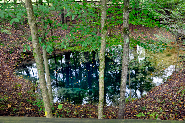
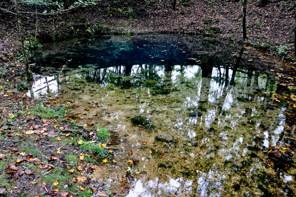
Here are some facts
that set this spring apart from an ordinary spring: The
Blue Hole Spring rises from an underground cave below the limestone
rock ledge to flow into the Conasauga and Coosa River systems. Some
504,000 gallons of water flow through here every day at a rate of 350
gallons per minute. The spring maintains an annual temperature of about
56 degrees and is approximately 14 feet deep. The spring provided
water for the people at the councils and was a scared place for them.
|
 |
 |
 |
 |
 |
 |
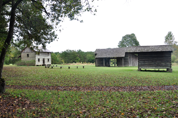
Below: Council House and
Cherokee Farmhouse. |
 |
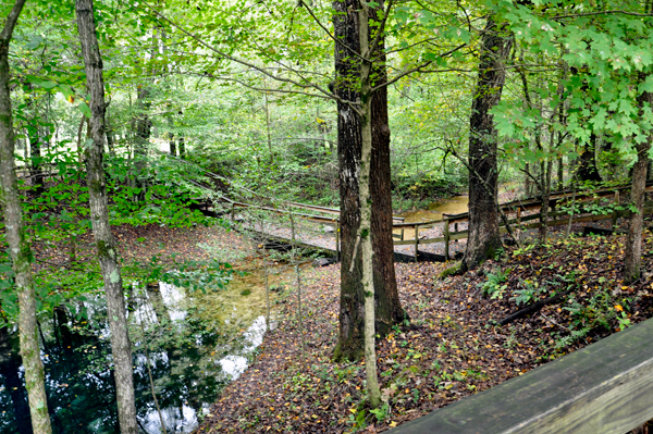
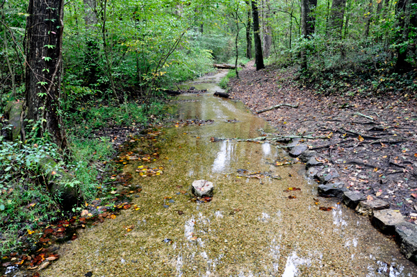
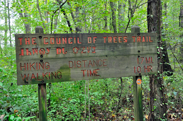
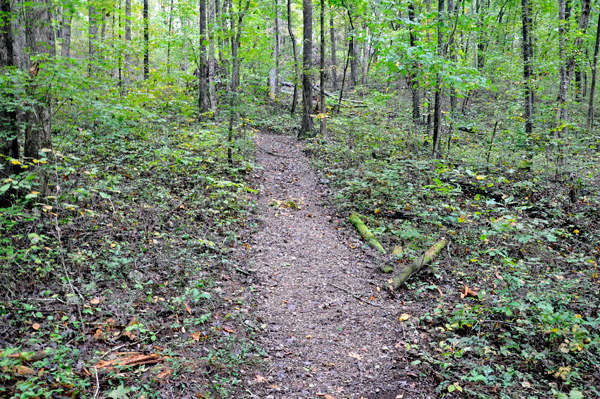
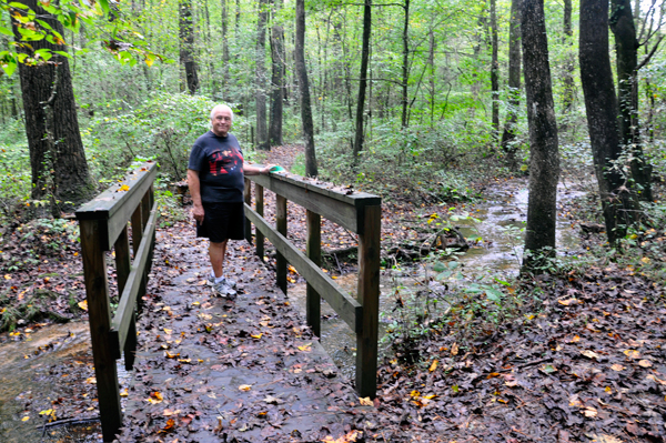
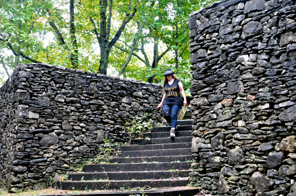
Below: Lee and Karen Duquette
hiked on a short 1.7 mile trail which started at a picnic shelter and
led through a wooded area to an interesting stone overlook, then returned
down the hill to connect to the Council House Trail. |
 |
 |
 |
 |
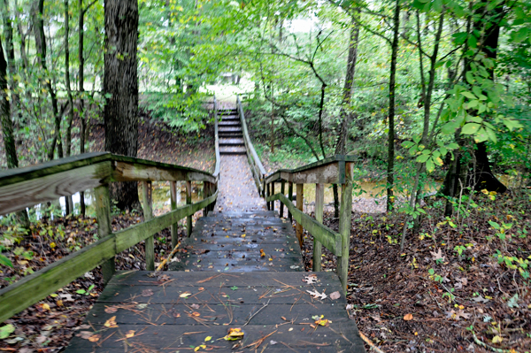
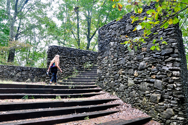
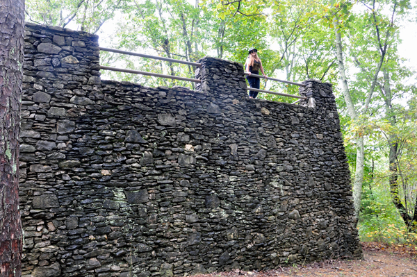
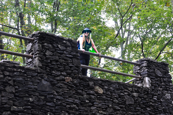
Below: Karen Duquette climbed
the stairs to The Overlook. But the trees were very tall, and so the
only thing Karen saw from the Overlook was trees. Lee Duquette did not
want to climb up the stairs, so he photographed Karen from below. |
 |
 |
 |
 |

 Continue
on in order of travel to
Continue
on in order of travel to 


