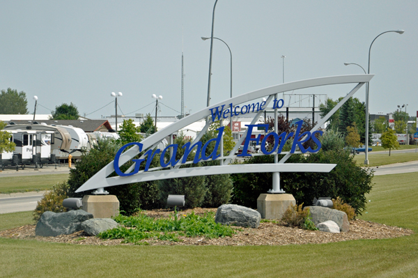
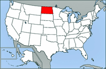
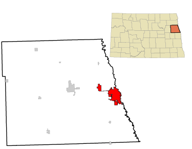
Grand Forks
is the third-largest city in the State of North Dakota (after Fargo
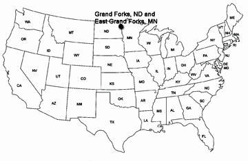
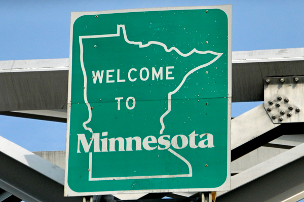
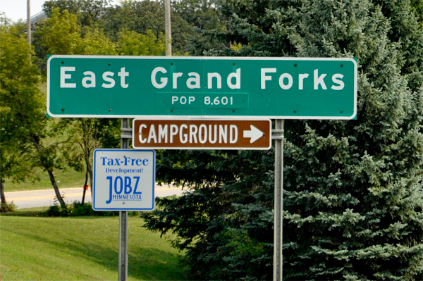
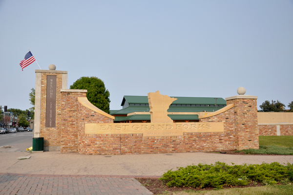
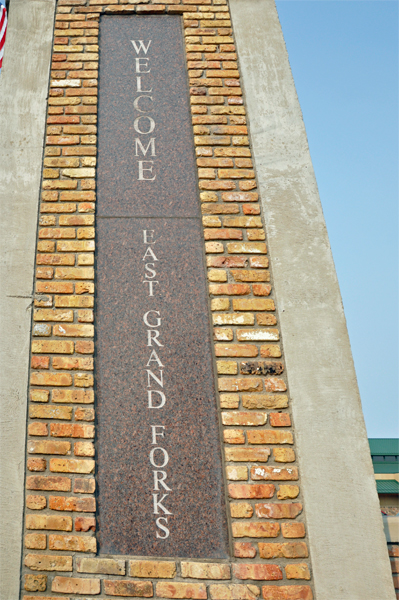
and Bismarck). Grand Forks, along with its twin city of East Grand Forks,
Minnesota, forms the center of the Grand Forks, ND-MN Metropolitan
Statistical Area, which is often called Greater Grand Forks
or The Grand Cities. The two RV Gypsies visited both cities.
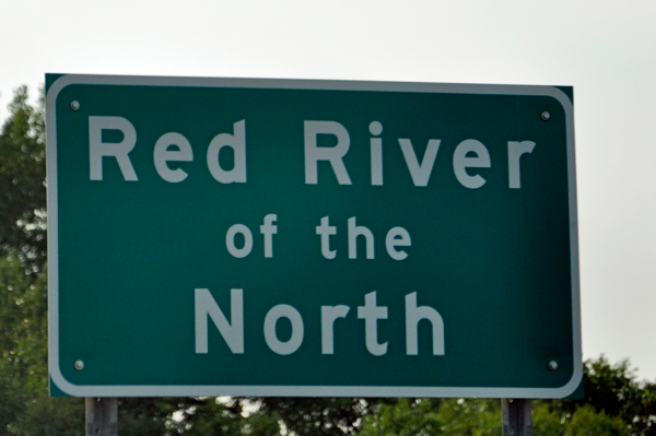
Located on the western banks of the Red River of the North in a flat
region known as the Red River Valley, the city is prone to flooding
and was struck by the devastating Red River Flood of 1997. Originally
called Les Grandes Fourches by French fur traders, Grand Forks
was founded in 1870 by steamboat captain Alexander Griggs and incorporated
on February 22, 1881.
The term "forks" refers to the forking of the Red River with the
Red Lake River located near downtown Grand Forks. The city has a total
area of 20.09 square miles of which, 19.91 square miles is land and
0.18 square miles is water. Since it is in one of the flattest parts
of the world, the city has few differences in elevation. There are no
lakes in the city limits of Grand Forks, but the meandering Red River
and the English Coulee flow through the community and provide some break
in the terrain. The Red River Valley is the result of an ancient glacier
carving its way south during the last Ice Age. Once the glacier receded,
it formed a glacial lake called Lake Agassiz. The ancient beaches can
still be seen as rolling hills west of the city. |
 |
 |
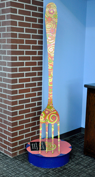
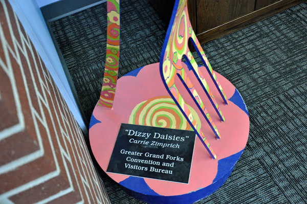
Below: A grand fork in
the Grand Forks Visitor Center. |
 |
 |
 The
Red River Flood of 1997 was a major flood that occurred
in April and May 1997, along the Red River of the North in North Dakota,
Minnesota, and Southern Manitoba, Canada. It was the most severe flood
of the river since 1826. The flood reached throughout the Red River
Valley, affecting the cities of Fargo and Winnipeg, but none so greatly
as in Grand Forks and East Grand Forks, where floodwaters reached over
3 miles inland, inundating virtually everything in the twin communities.
Total damages for the Red River region were US $3.5 Billion. The flood
was the result of abundant snowfall and extreme temperatures. The
Red River Flood of 1997 was a major flood that occurred
in April and May 1997, along the Red River of the North in North Dakota,
Minnesota, and Southern Manitoba, Canada. It was the most severe flood
of the river since 1826. The flood reached throughout the Red River
Valley, affecting the cities of Fargo and Winnipeg, but none so greatly
as in Grand Forks and East Grand Forks, where floodwaters reached over
3 miles inland, inundating virtually everything in the twin communities.
Total damages for the Red River region were US $3.5 Billion. The flood
was the result of abundant snowfall and extreme temperatures.
Flooding in Manitoba resulted in over $500 million in damages, although
the Red River Floodway, an artificial waterway affectionately known
as "Duff's Ditch" saved Winnipeg from flooding. This flood stimulated
improvements to the flood protection system.
In Grand Forks, thousands of people prepared for the flood by building
sandbag dikes. These dikes were constructed based on a 49-foot estimate
of flooding set by the National Weather Service, but the river crested
at 54 feet in Grand Forks. Grand Forks evacuated over 50,000 people
as a large portion of the city was flooded. A large fire started in
Grand Forks, engulfing eleven buildings and sixty apartment units before
being extinguished.
Those affected by the flood in the U.S. received donations from across
the nation, along with billions in federal aid. City officials and flood-forecasters
were criticized for the difference in estimates and actual flood levels.
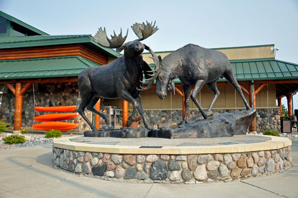
Grand Forks and East Grand Forks built new dikes to prevent damages
from future floods and began to rebuild around the river, developing
a campground recreation area, park, and shopping districts where homes
once stood. |
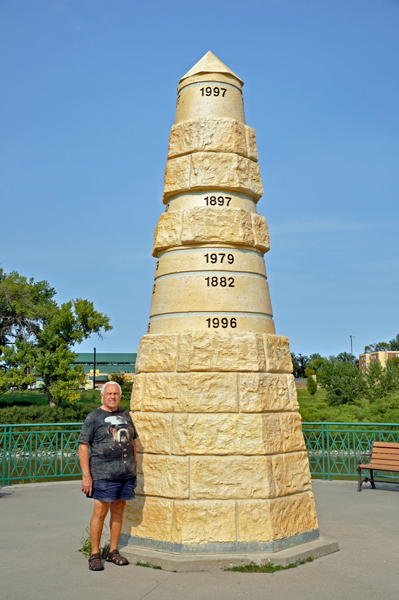 |
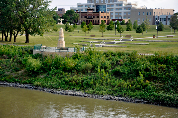
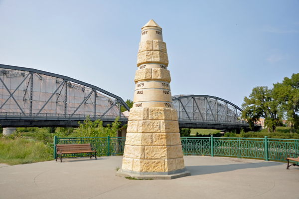
Below: See how far below
the monument the river usually is. As stated above, the river rose 54
feet in 1997 and extended 3 miles inland. The second picture below shows
the new flood gate located up by the buildings shown in the first photo
below. |
 |
 |
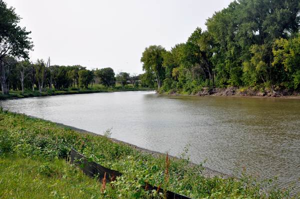
Below: Another
perspective to show the present river level and how high up the river
came. |
 |
 |
|
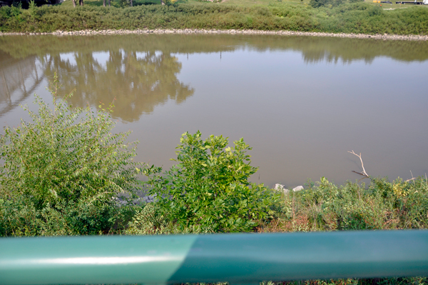
Looking down over the railing
to see the level of the river. |
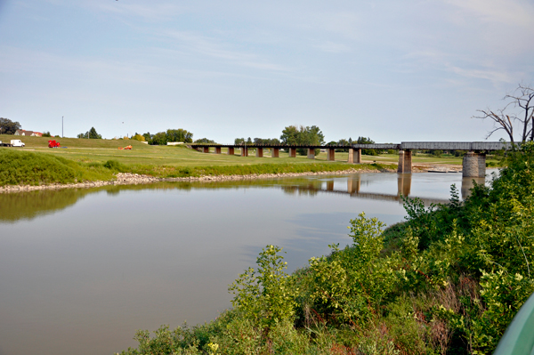
The confluence of the Red
and Red Lake Rivers. |
 |
 |
The Red River in Manitoba
and the U.S. States of Minnesota and North Dakota has flooded repeatedly
through the centuries, endangering lives and property. The river is
highly prone to flooding because of its northward flow. As spring approaches,
the snow is melted from south to north alongside the river flow. There
is also the possibility that the surplus water can hit unmelted ice
on the river and back up. The flatness of the terrain and small slope
of the river is a significant factor.
Floods occurred in both 1948 and 1950. The 1950 flood reached a high
of 30 feet at Winnipeg causing the largest evacuation in Canada's history
of 100,000 people and $606 million CAD (1997) of damage, prompting the
government of Manitoba to set up flood safety measures.
The first known records of floods along the Red River appeared in
the 1770s. Severe floods occurred throughout the 19th and 20th centuries,
with one of the most recent major floods occurring in 1979. Homes not
damaged in that flood were incorrectly assumed to be safe from a future
flood. |
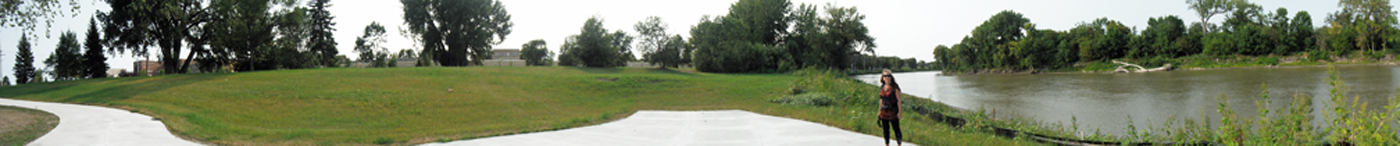
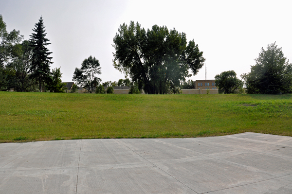
Below: a panorama and two
other photos showing the river and how far from the river the flood
wall was built. |
 |
 |
 |
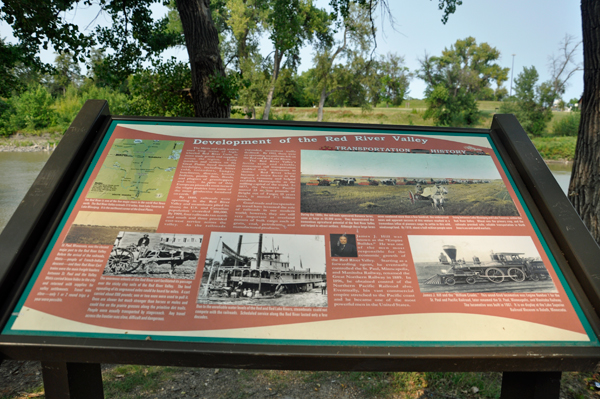
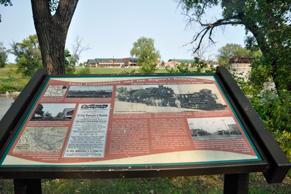
Below: Signs along the Red
River about the Development of the Red River Valley, the local Communities,
and the Region's railways. |
 |
 |
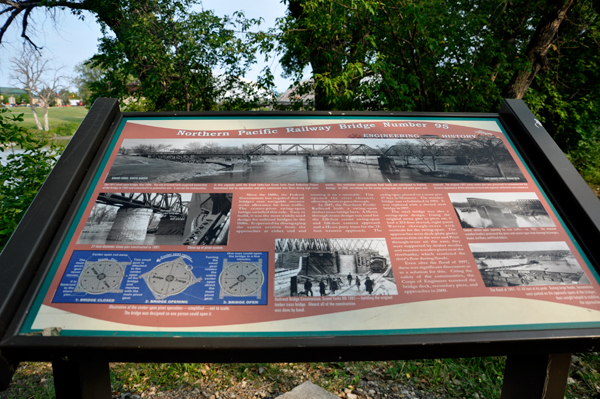
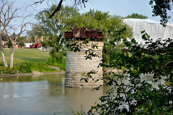
Below: A sign
about the Northern Pacific Railway Bridge and a leftover piling still
in the river. |
 |
 |
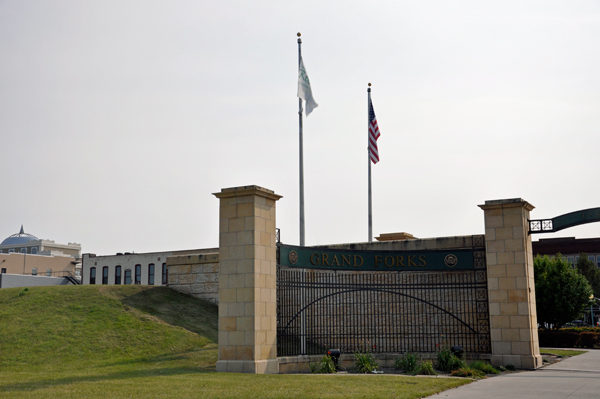
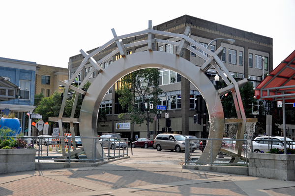
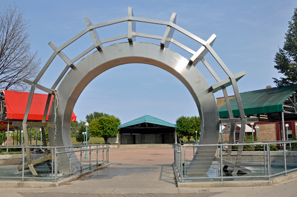
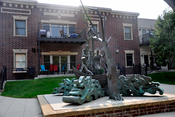
Below: Downtown Grand Forks'
Town Square |
 |
 |
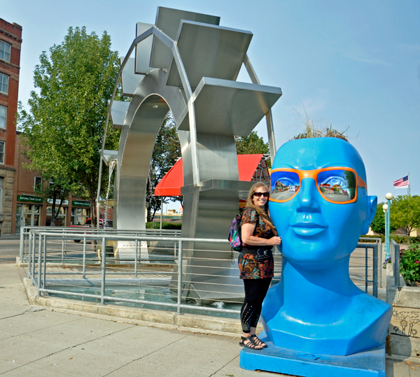
 Below:
OOPS! Karen Duquette lost the sunglass contest. Mr. Blue
Head won. Below:
OOPS! Karen Duquette lost the sunglass contest. Mr. Blue
Head won.
|
 |
 |
 |
 |
|
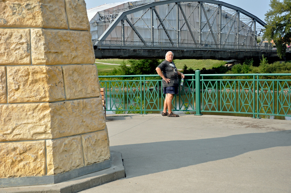
Below: Lee
and Karen Duquette walked across the bridge to East Grand Forks, Minnesota. |


 Continue on in order of travel to


