|
|
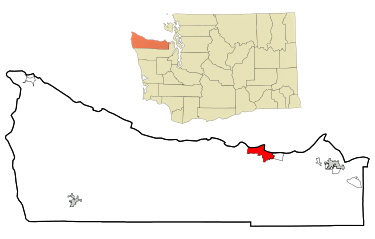
 Port
Angeles is a city in Clallam County, Washington, United States.
It is the largest city in the county. Port
Angeles is a city in Clallam County, Washington, United States.
It is the largest city in the county.
The City's harbor was dubbed Puerto de Nuestra Senora de los Angeles
(Port of Our Lady of the Angels) by Spanish explorer Francisco de Eliza
in 1791. By the mid-19th century, after settlement by English speakers
from the United States, the name was shortened and partially anglicized
to its current form, Port Angeles Harbor.
Port Angeles is home to Peninsula College. It is the birthplace of
football hall-of-famer John Elway and residents include writers and
artists. The city is served by William R. Fairchild International Airport.
Ferry service is provided across the Strait of Juan de Fuca to Victoria,
British Columbia, Canada on the M/V Coho. |
|
|
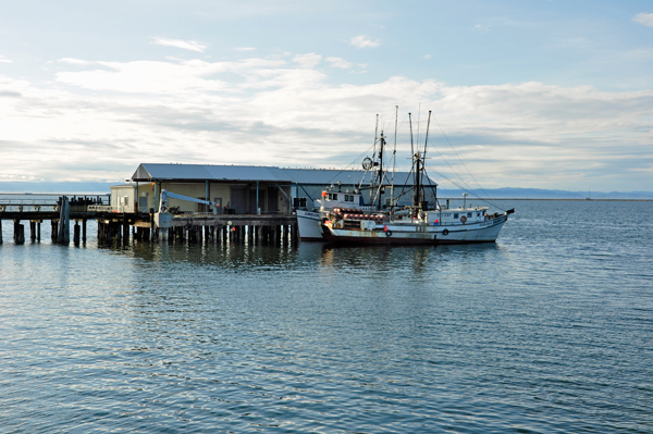
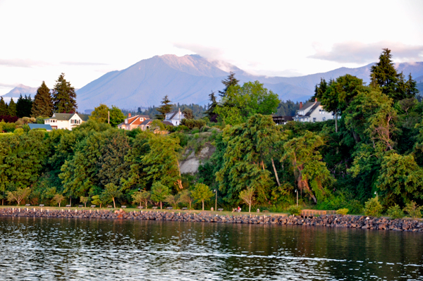
GEOGRAPHY: The city is situated
on the northern edge of the Olympic Peninsula along the shore of the
Strait of Juan de Fuca. Port Angeles features a long and narrow natural
sand spit named Ediz Hook that projects north-easterly nearly three
miles into the Strait. Ediz Hook creates a large, natural deep-water
harbor shielded from the storms and swells that move predominantly eastward
down the Strait from the Pacific Ocean. Coast Guard Air Station / Sector
Field Office (SFO) Port Angeles is situated on the end of Ediz Hook.
The harbor is deep enough to provide anchorage for large ocean-going
ships such as tankers and cruise ships. The south shore of Vancouver
Island and the city of Victoria, British Columbia are visible across
the Strait to the north. |
Port Angeles is located in
the rain shadow of the Olympic Mountains, which means the city gets
significantly less rain than other areas of western Washington. The
average annual precipitation total is approximately 25 inches,
compared to Seattle's 38 inches. Temperatures are moderated by the maritime
location, with winter lows rarely below 25 degrees Fahrenheit, and summer
highs rarely above 80 degrees F. However, in winter the city can be
vulnerable to windstorms and Arctic cold fronts that sweep across the
Strait of Juan de Fuca. Port Angeles receives about 4 inches of snow
each year, but it rarely stays on the ground for long. Port Angeles
is also the location of the headquarters of Olympic
National Park, which encompasses most of the Olympic Mountains. |
|
|
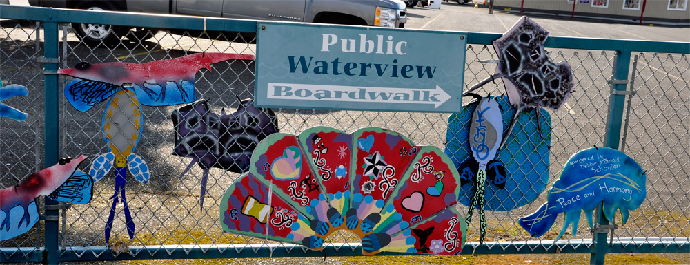
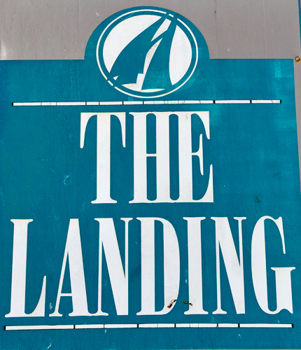
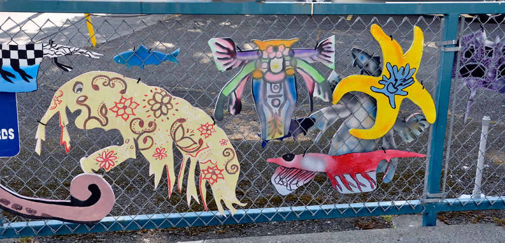
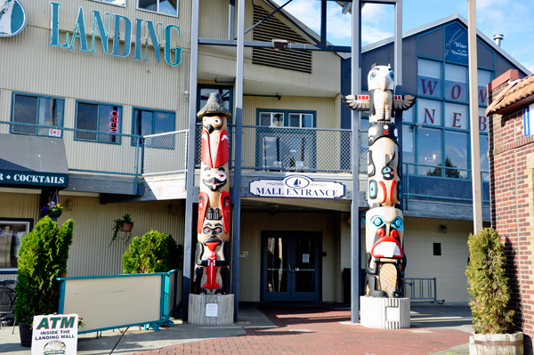
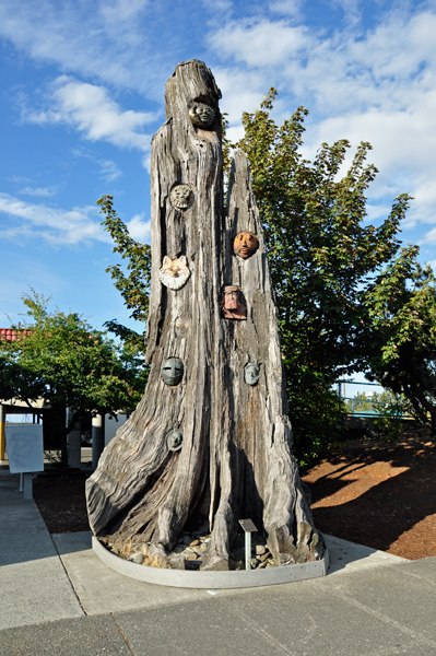
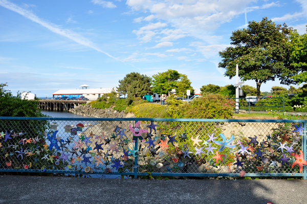
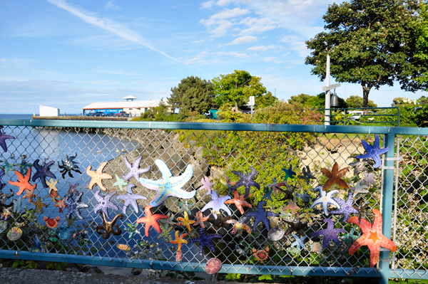
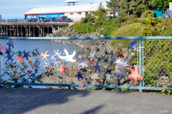
Below: Three photos of a nicely decorated
fence by a mall entrance at The Landing. The fence was too
long for one photo. |
|
|
|
|
|
|
 |
 |
 |
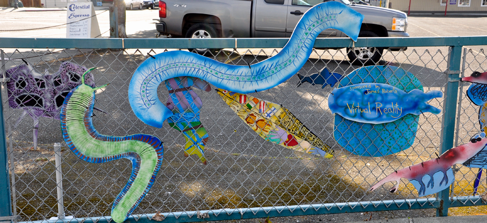
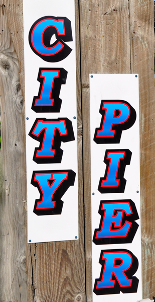
Below: A nautical fence |
 |
|
|
|
|
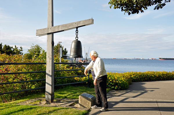
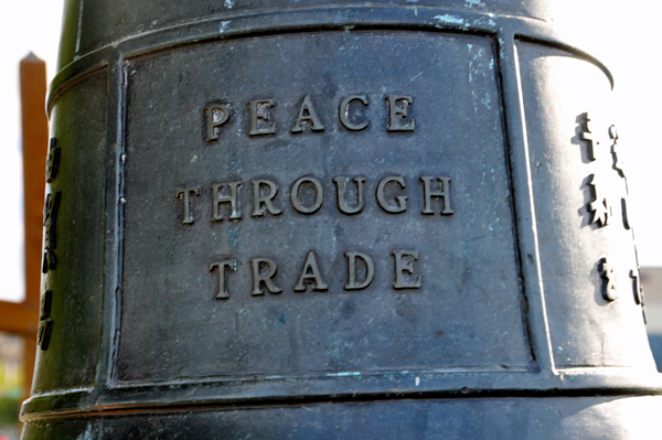
Below: A replica of the original Liberty
Bell - 5 feet tall - weighing 2,080 pounds and can be heard a distance
of eight miles. Of course, Lee Duquette had to ring the bell each time
he walked past it. The bell was made at the WHITE CHAPEL BELL FOUNDRY,
the same foundry that made the original bell. In English, the bell had
the words, "Peace through Trade." Stuff was written
in other languages, maybe the same phrase. |
|
|
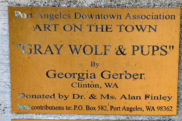
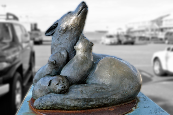
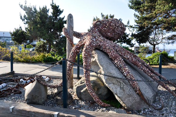
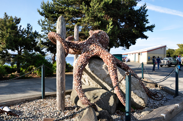
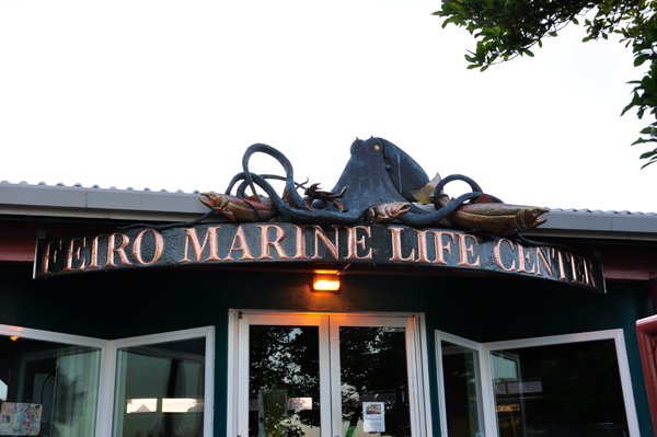
Below: Art Sculpture of an octopus |
|
|
|
|
|
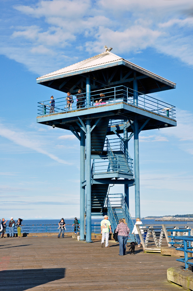
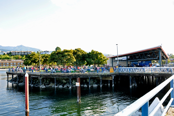
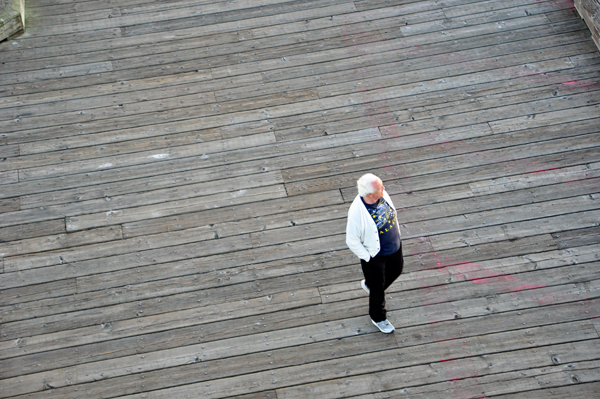
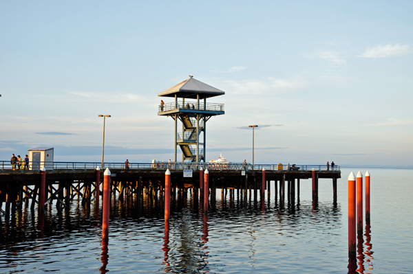
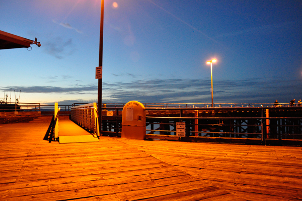
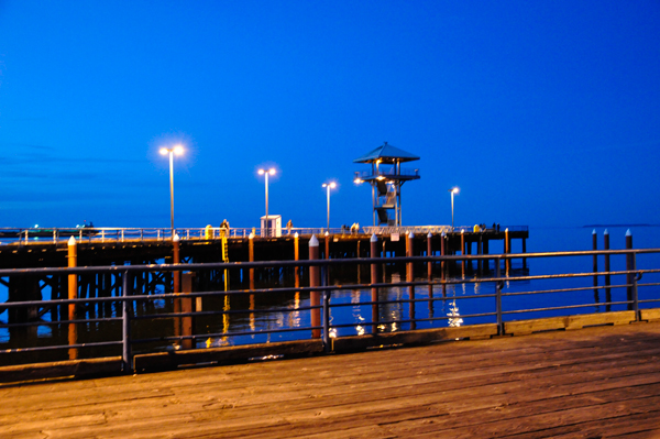
Lee and Karen Duquette walked
the distance of the short pier and Karen climbed the stairs to the top
of the little tower (shown above) for a better view of the inner harbor,
Port Angeles, and the Olympic Mountains, plus the small covered area
with a stage that was hosting some sort of a free concert and was quite
crowded with people (photo below). Ilse and Lee did NOT climb up the
tower. |
|
 |
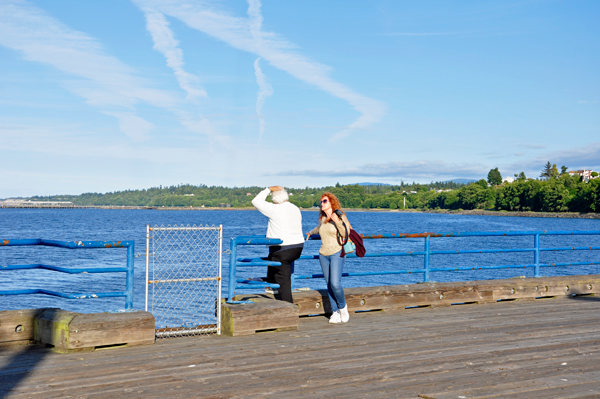
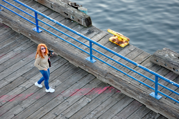
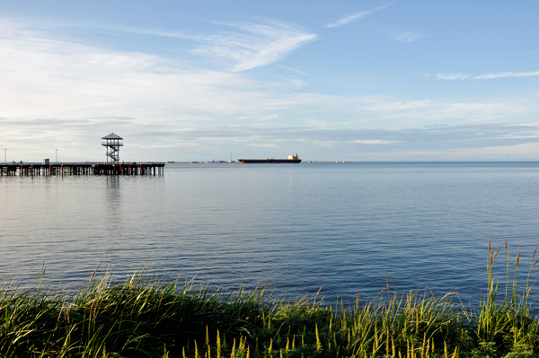
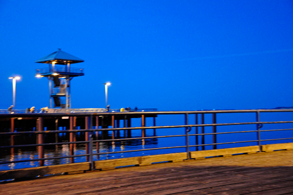
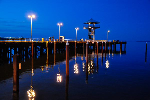
Below: From the viewing platform at the
top of the tower, Karen Duquette took photos of Ilse and Lee as they
walked around the boardwalk below the tower. |
 |
|
|
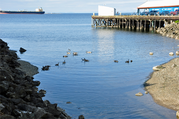
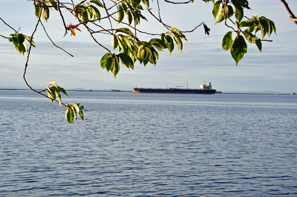
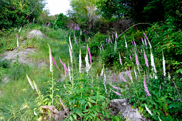
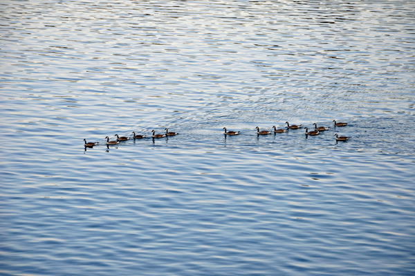
Below: Later,
Karen and Ilse walked a portion of the nearby 6.5 mile long Waterfront
Trail, which was quite pretty, and gave decent views of the tower, ships,
ducks and flowers. |
|
|
 |
|
|
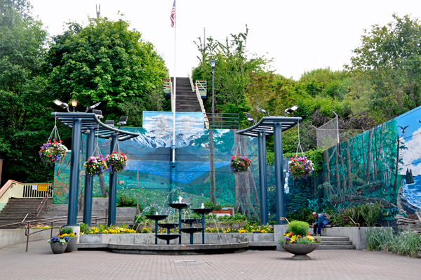
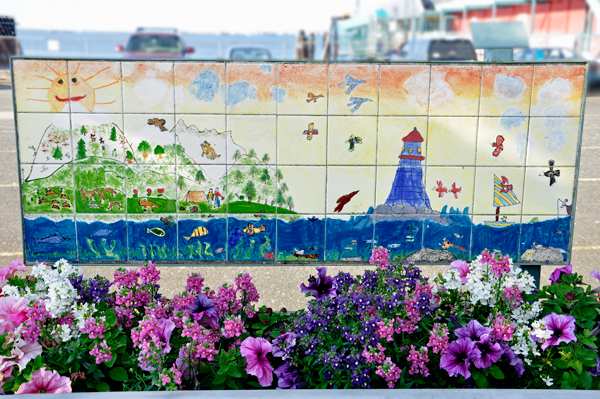
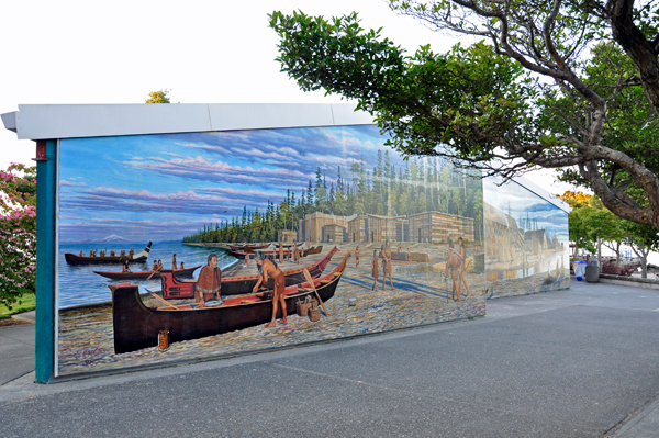
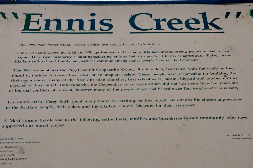
Below: After walking the trail, Karen Duquette
and Ilse Blahak met up with Lee Duquette and walked around the Marine
Life Center (which was closed) and Ennis Creek. The 1997 Nor'Wester
Mural shown below depicts two scenes in the city's history. |
|
|
|
|
|
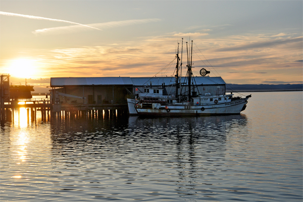
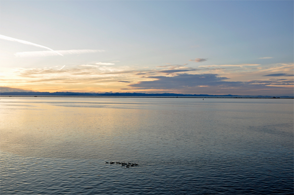
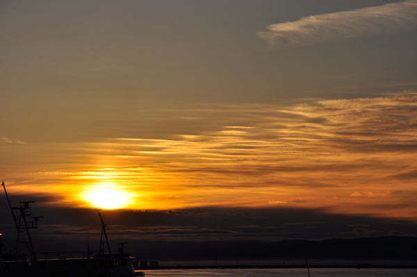
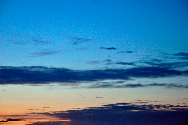
Below: Later, everyone relaxed by the pier
and waited for the sunset. It was not great, but it was nice. |
|
|
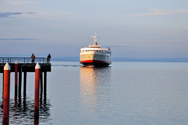
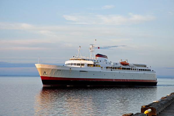
Below: The BlackBall Ferry Line M.V. Coho
is a vehicle and passenger ferry operating year round to Victoria, British
Columbia. Below: The ferry arriving in the harbor. |
|
|
|
|
|
|
|
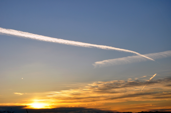
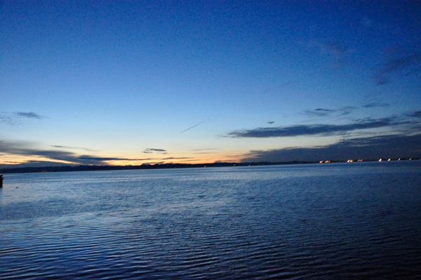
Below: The news
said that The Northern Lights could be seen from Port Angeles on this
date, so Karen, Lee and Ilse hung out waiting for an event that did
NOT happen. After a bit Lee and Ilse got tired, so they left. In the
meantime, Karen played around with some filter settings in her camera.
It was a nice day. |
|
|
|
|
|
|