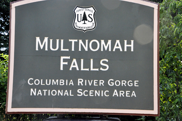
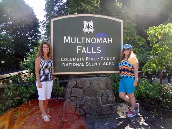
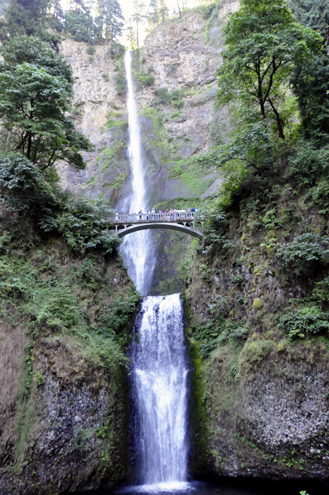
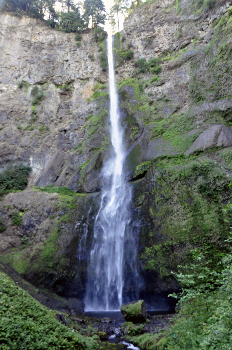
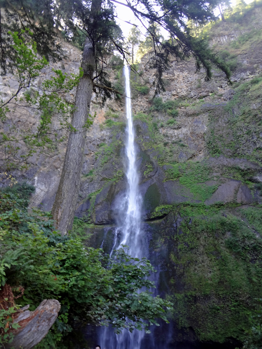
Multnomah Falls is a waterfall on the Oregon side of the Columbia River Gorge, located along the Historic Columbia River Highway. The falls drops in two major steps, then splits into an upper falls of 542 feet and a lower falls of 69 feet with a gradual 9 foot drop in elevation between the two, so the total height of the waterfall is conventionally given as 620 feet.
Multnomah Falls is the tallest waterfall in the State of Oregon. It is credited by a sign at the site of the falls, and by the United States Forest Service, as the second tallest year-round waterfall in the United States. However, there is some skepticism surrounding this distinction, as Multnomah Falls is listed as the 137th tallest waterfall in the United States by the World Waterfall Database (this site does not distinguish between seasonal and year-round waterfalls). The water flows at 150 cubic feet per second.
Underground springs from Larch Mountain are the year-round source of water for the waterfall, augmented by spring runoff from the mountain's snowpack and rainwater during the other seasons.
In contrast to other falls along the Gorge, the Multnomah area is also reachable via a stretch of I-84 east of Troutdale, Oregon. The rest area and tunnel under the road (as well as the Union Pacific Railroad tracks) allow Interstate travelers from either direction to stop and visit the falls. |
| From Wikipedia, the free encyclopedia |
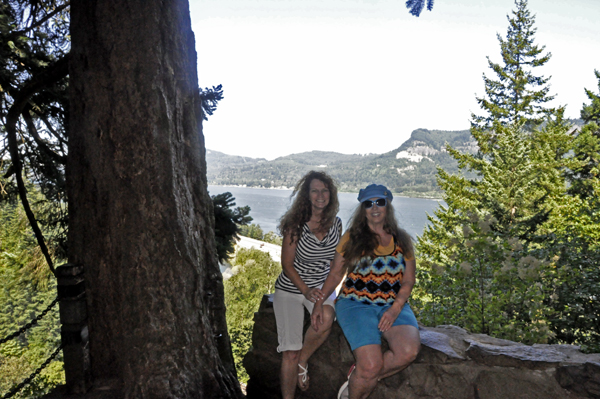
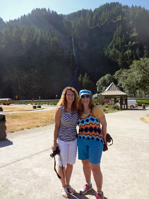
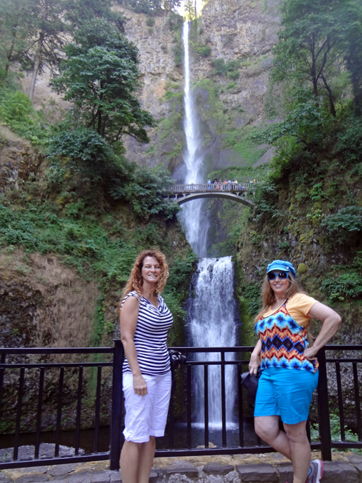
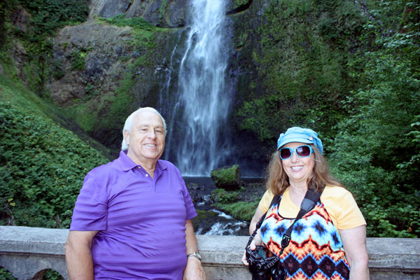
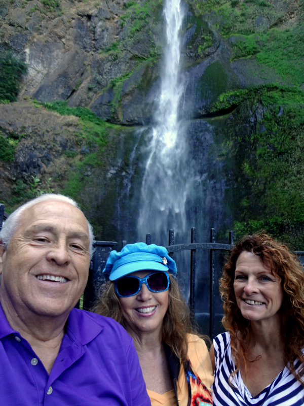
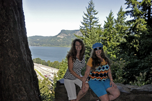
Below: Karen Duquette and
her much younger sister in the parking lot with the 620-foot tall Multnomah
Falls in the background, the tallest waterfall in the State of Oregon.
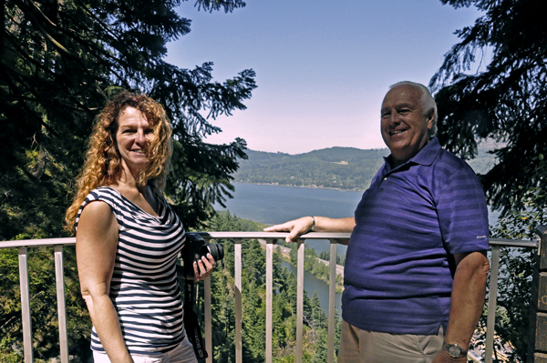
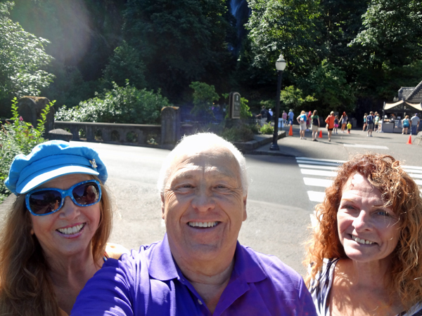
The two RV Gypsies picked Ilse up at the airport and this was their
first stop, even before reaching the RV of the two RV Gypsies at the
campground. What a great way to welcome Ilse to Oregon and the life-style
of the two RV Gypsies. Ilse lives in southern California. |
|
|
|
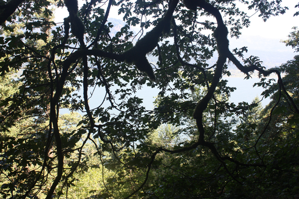
Below: The 5-minute walk from the parking lot towards Multnomah
Falls and the exhilarating spray at the base of the falls.
|
|
|
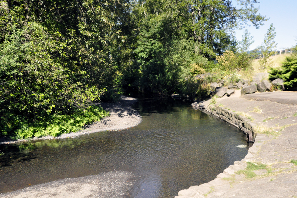
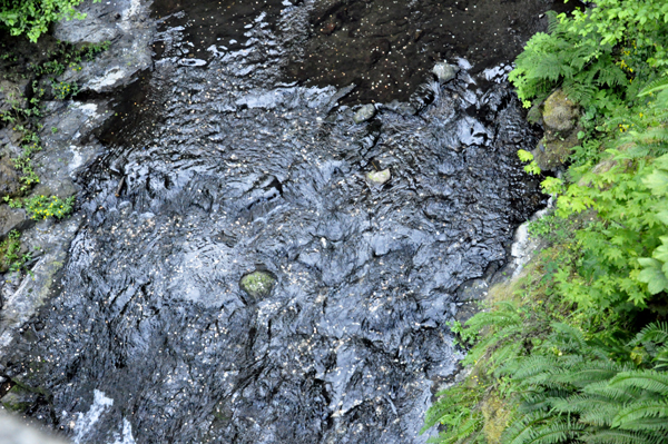
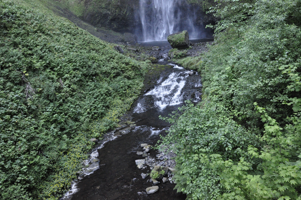
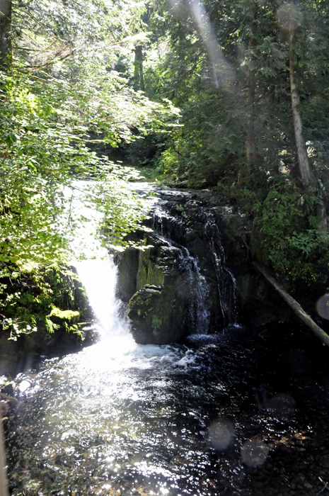
Below: Multnomah Creek at
the bottom of the falls |
|
|
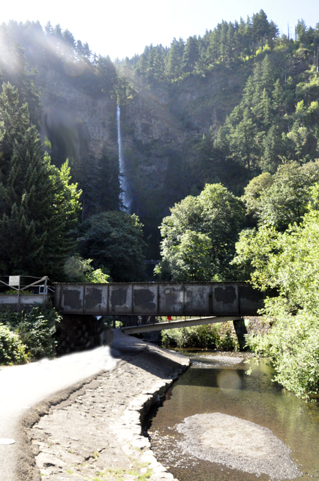
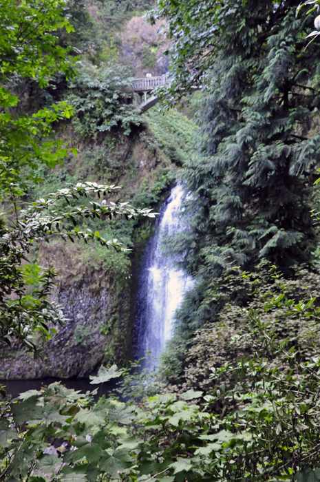
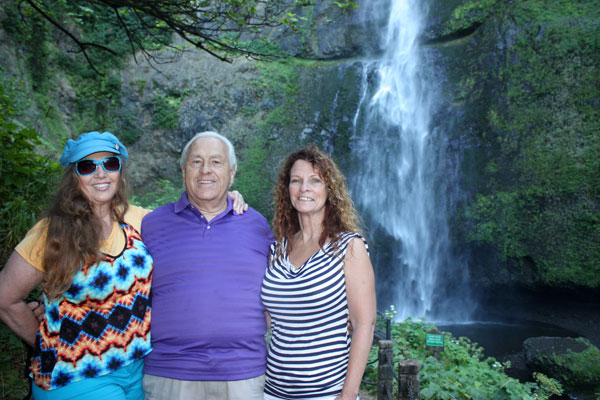
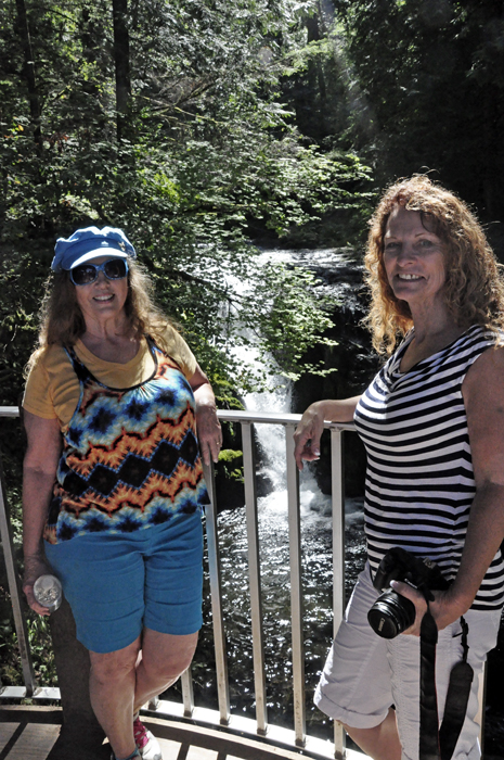
Below: The
two RV Gypsies approached a small bridge to get a better view of Multnomah
Falls and the famous footbridge. |
|
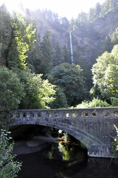
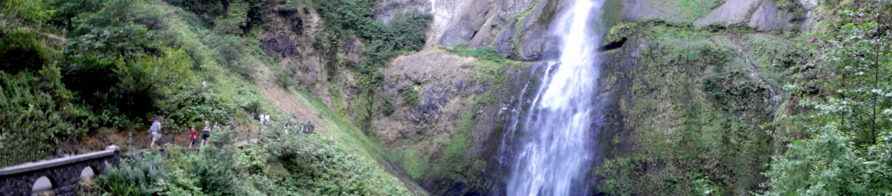
Below: Multnomah Falls and
The footbridge that is named for Simon Benson, who financed the bridge's
construction in 1914 by Italian stonemasons. Benson soon gave Portland
land that included most of the falls as well as nearby Wahkeena Falls.
Look how small the people on the footbridge look. |
|
|
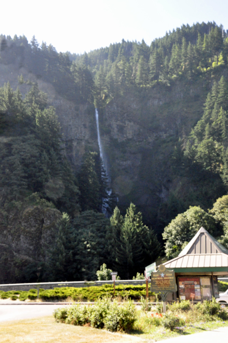
At this time
of day, the only way to get photographs of Multnomah Falls is to aim
the camera into the sun. |
|
|
|
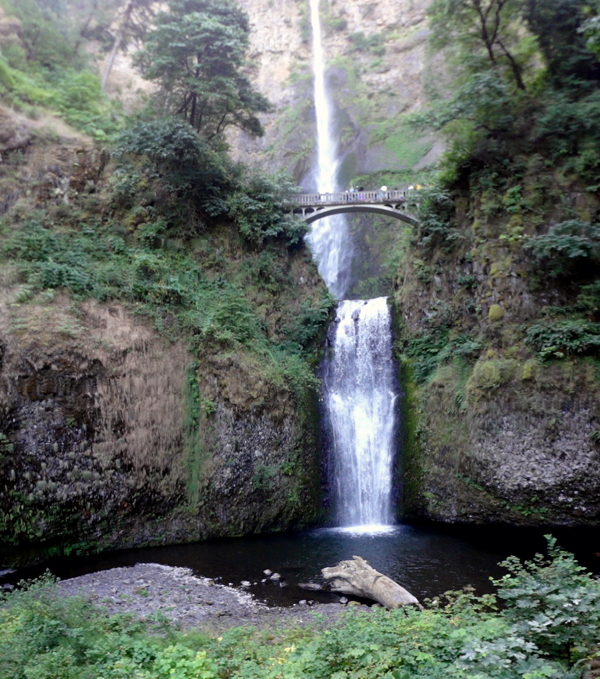
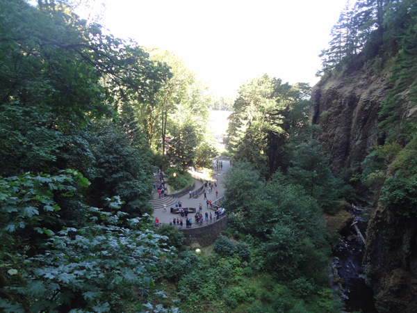
Below: A paved path several
hundred feet in length leads to Benson Footbridge, a 45-foot long footbridge
that spans the falls at the first tier's misty base and allows visitors
to cross 105 feet above the lower cascade. Lee, Karen, and Ilse have
now walked the steep path up and are on the footbridge. |
|
|
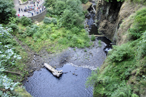
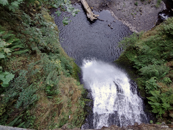
Below: Looking down from the
Benson Footbridge as the lower cascade of water flows downward towards
all the little people below. Standing on the bridge gives a perfect
view of the top tier's full 542-foot height and a vantage point over
the second tier's 69-foot drop. |
|
|
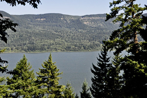
Below: Looking
straight out towards the Columbia River from the footbridge. |
|
|
Below: Looking straight down
on the waterfall side of the footbridge, many people have thrown coins
into the water, so Karen, Ilse, and Lee tossed a few coins too, and
each made a wish of course. |
|
|
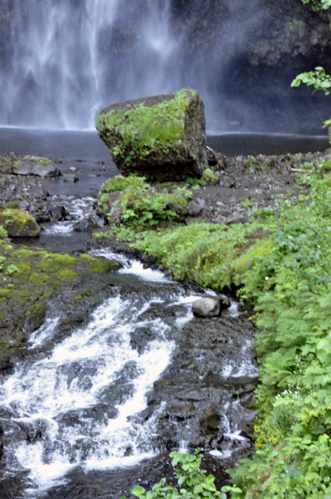
Below: Karen Duquette noticed
the stone covered with moss at the bottom of the lower section of Multnomah
Falls. |
|
|
Below: Ilse Blahak saw a sign saying "one-mile to the top of the
falls", so she and Karen convinced Lee Duquette that they
should take the path up to the top of the falls, even though Lee did
NOT want to hike that far. |
|
Below: The trio paused on
the corner for a different view of Multnomah Falls |
|
|
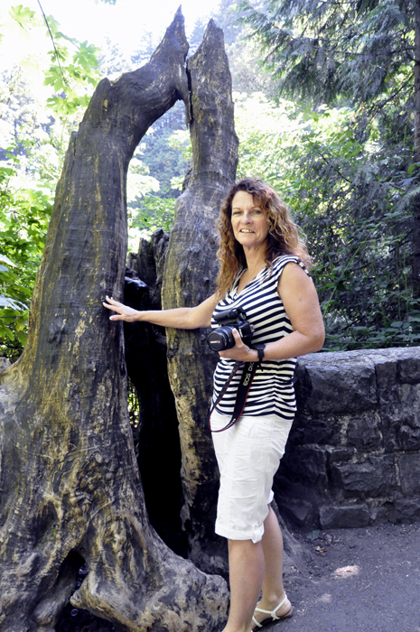
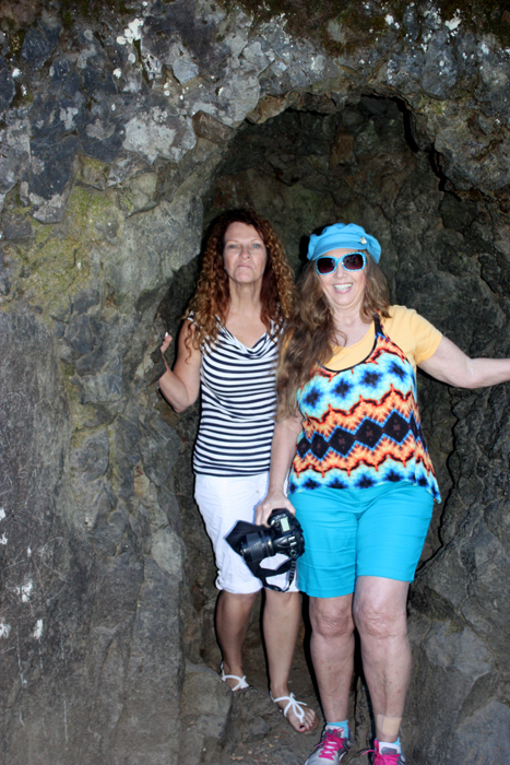
Below: Ilse
and Karen found a dugout just their size and decided that Lee Duquette
should take their photo. Then Ilse Blahak wanted a photo by herself.
|
|
|
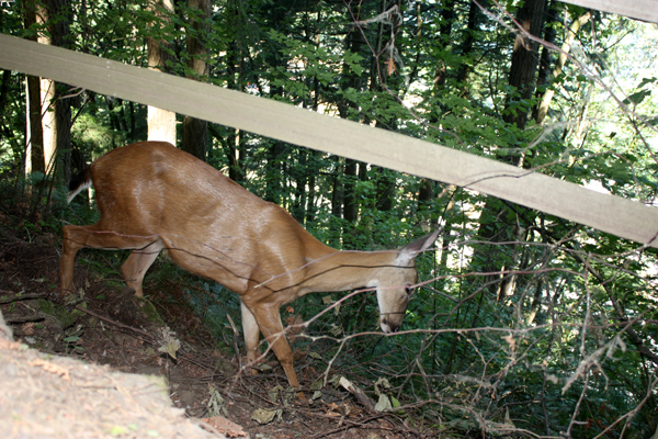
Below: A deer on the side of the trail |
|
Below: Ilse
and Karen took a break at one of the switchbacks about 1/4 of the way
up the extremely steep trail. Steep drop-offs and uneven walking surfaces
made this trail difficult. |
 |
|
 |
|
Below: After
passing switchback number 10, Ilse spotted a sign that said "1-1/4
mile". Ilse started singing "Liar, Liar, Pants on
Fire" because the sign at the bottom of the trail said the
trail to the top was only 1-mile. (That's the school-teacher / child
in her). After switchback number 10, the trail leveled out a bit
and even went downhill. That was a welcome relief from the constant
steep, uphill trail they had been on up to this point. Switchback number
11 of 11 was not posted anywhere and Ilse felt cheated. But they managed
to hike to "The Mark O", where they noticed people
playing near the creek. Ilse and Karen wanted to check out the creek
too, and of course they did just that before starting back down the
trail. |
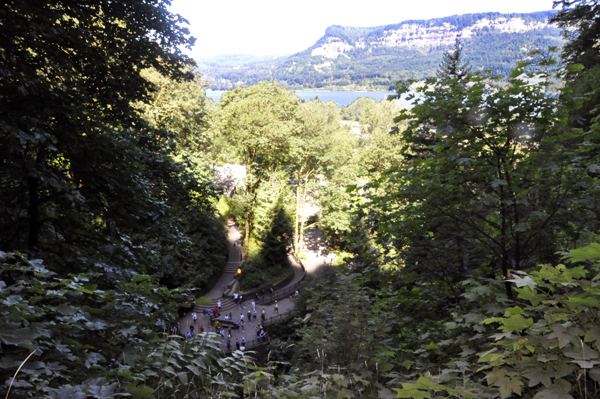
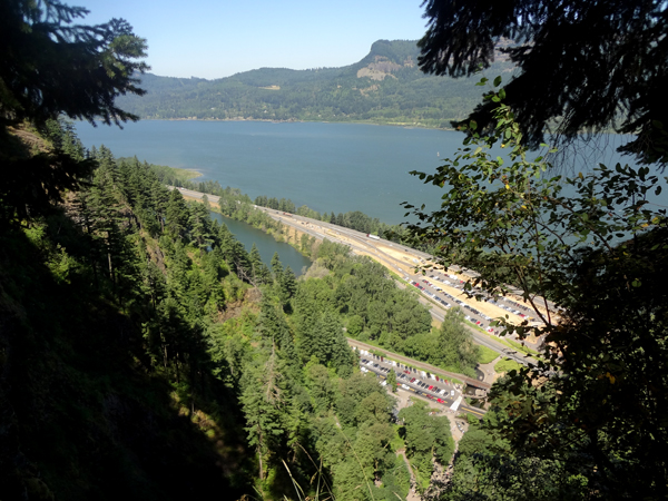
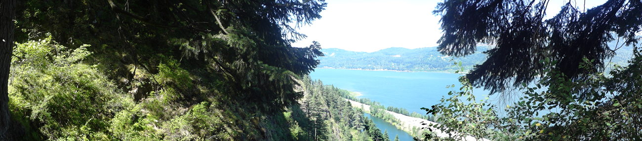
The trail ended at a platform at the top of the upper falls, and Karen, Lee and Ilse got a bird's-eye view of the Columbia Gorge and also of "Little Multnomah", a small cascade slightly upstream from the Upper Multnomah Falls, which is not visible from ground level. |
|
|
Below: Ilse and Lee on the other side of the platform at the top of Multnomah Falls, with the river, the parking lot, and the tiny people far below. |
 |
|
  On Labor Day in September 1995, a 400-ton boulder, loosened by erosion, fell 225 feet from the face of the waterfall into the upper cascade pool, above Benson Bridge. It caused a 70-foot splash of water and gravel to wash over the footbridge, causing minor injuries to twenty members of a wedding party that happened to be on the bridge posing for photos at the time. From Wikipedia, the free encyclopedia On Labor Day in September 1995, a 400-ton boulder, loosened by erosion, fell 225 feet from the face of the waterfall into the upper cascade pool, above Benson Bridge. It caused a 70-foot splash of water and gravel to wash over the footbridge, causing minor injuries to twenty members of a wedding party that happened to be on the bridge posing for photos at the time. From Wikipedia, the free encyclopedia
|
|
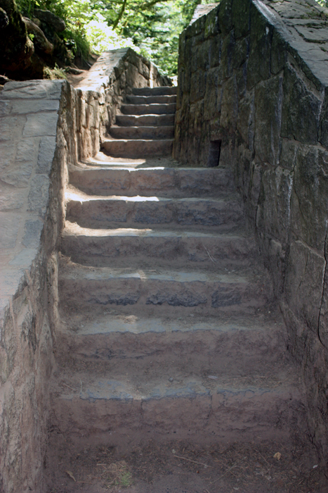
Below: Ilse Blahak took a photo of the stone steps leading
back to Starvation Creek just above " Little Multnomah",
the small cascade slightly upstream from the "upper" falls.
Ilse likes to photograph stairs. |
|
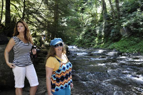
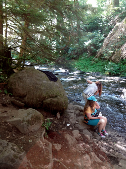
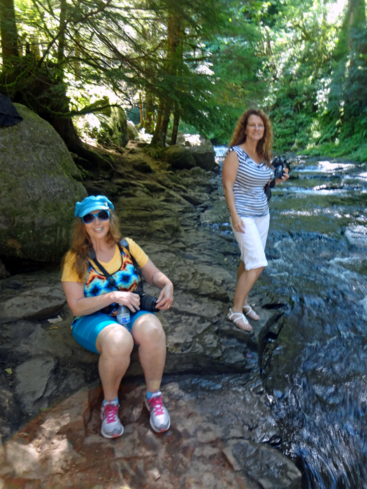
Below: Ilse, Karen, and Lee
enjoyed the view around the creek, and as always, Karen Duquette just
had to feel the cold water. |
|
|
|
Time to head back down the trail and on to Mount Hood
and several more nearby waterfalls. There are multiple travel options
below, plus the main navigational buttons for this very large website.
Choose your own path. |


 If you have already seen all of the 32 sites in Oregon,


