|
|
|
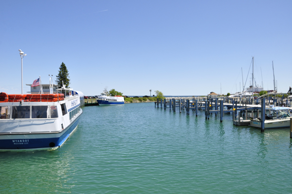
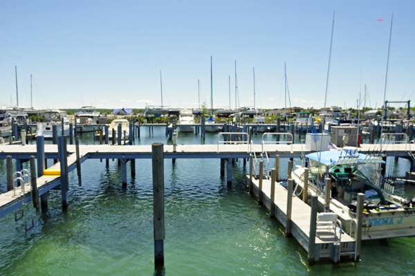
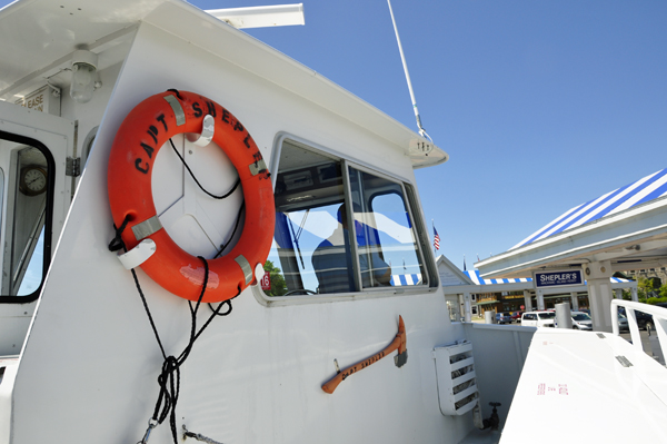
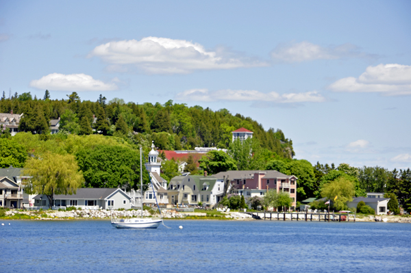
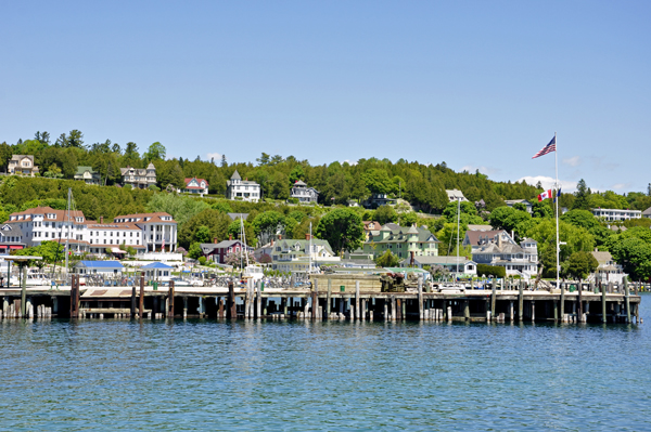
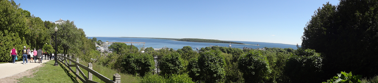
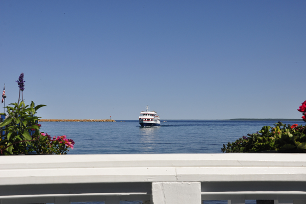
Below: The view
while waiting for the Mackinac Island Ferry to arrive and take passengers
to Mackinac Island |
|
|
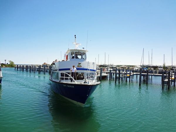
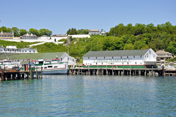
Below: The ferry
coming in to take Lee and Karen Duquette plus other passengers to Mackinac
Island. |
|
|
Below: And away they go......
towards Mackinac Island |
|
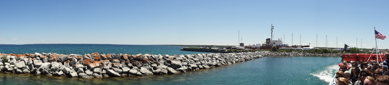
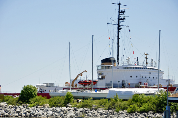
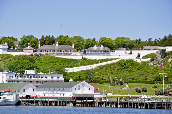
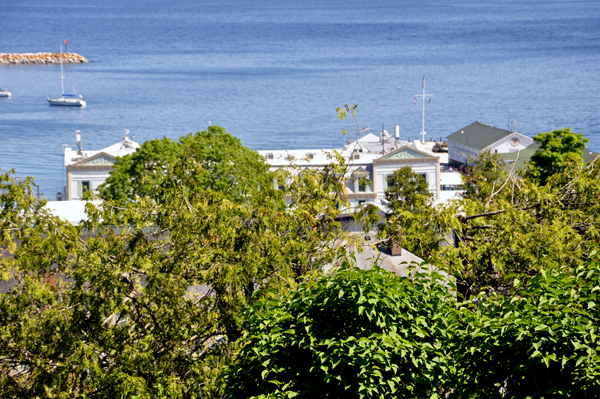
Below: Close up of the museum and jetty shown in the above panorama. The USCG Cutter Mackinaw WAGB 83 was specifically built to keep the Great Lakes shipping lanes open under the harshest winter conditions during WWII. The Mackinaw made it possible for iron ore and copper from the Upper Peninsula of Michigan to be transported to the wartime factories in the lower Great Lakes.
After the war, the Mackinaw was regarded as the foremost icebreaker in the world. For 62 years it performed ice breaking feats keeping important shipping lanes in the Great Lakes open to commercial traffic, and earning the reputation "We move ships when no one else can!" |
|
|
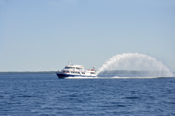
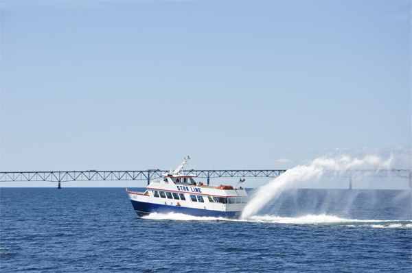
Below: A jet
boat with a big rooster tail speeding past the slow moving ferry that
Lee and Karen Duquette were on. |
|
|
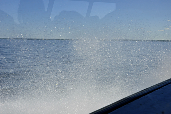
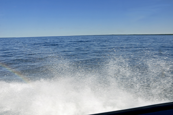
Below: Karen Duquette took
pictures of the waves splashing against the side of the ferry - (filmed
through a window). |
|
|
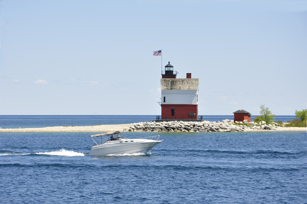
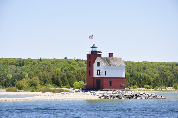
Below: The Round Island Light, also known as the Old Round Island Point Lighthouse, a lighthouse located on the west shore of Round Island in the shipping lanes of the Straits of Mackinac, which connect Lake Michigan and Lake Huron. Height 56 feet. It opened and was first lit in 1985. It is made of brick and concrete. Round Island is an uninhabited island of only 378 acres of mostly wilderness. |
|
|
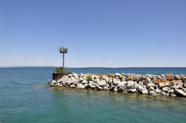
Below: A buoy |
|
|
Below: Lee and Karen Duquette
got their first view of Mackinac Island. |
|
|
|
|
|
|
|
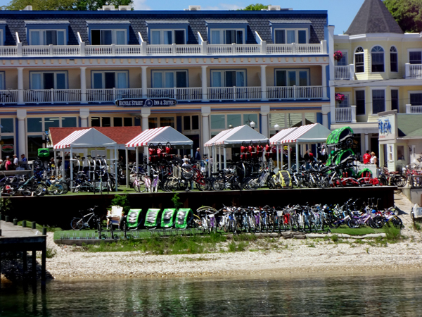
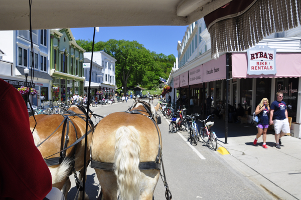
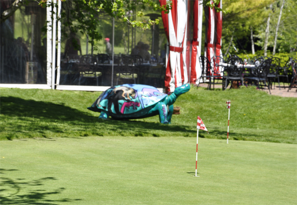
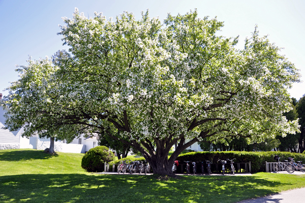
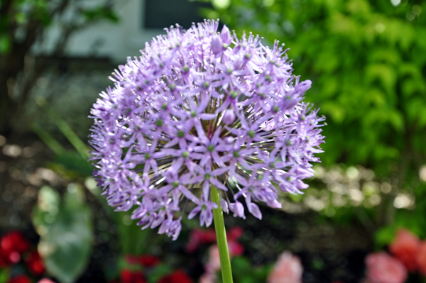
Below: Lots and
lots of Bicycles and lilac trees everywhere. (Karen Duquette loves the
smell of lilacs on the trees). |
|
|
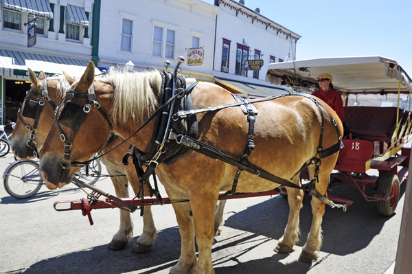
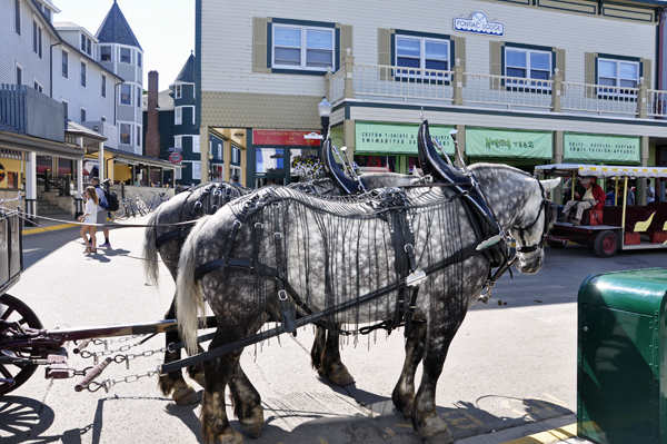
 The
Horse is King on Mackinac Island The
Horse is King on Mackinac Island
|
Motorized
vehicles have been prohibited on the island since 1898, with the exception
of snowmobiles during winter, emergency vehicles, and service vehicles.
Travel on the island is either by foot, bicycle, or horse-drawn carriage.
Roller skates and roller blades are also allowed, except in the downtown
area. Bicycles, roller skates/roller blades, carriages, and saddle horses
are available for rent. An 8-mile road follows the island's perimeter.
Numerous roads, trails and paths cover the interior of the island. The
road encircling the island and closely hugging the shoreline is M-185,
the United States' only state highway without motorized vehicles. |
|
|
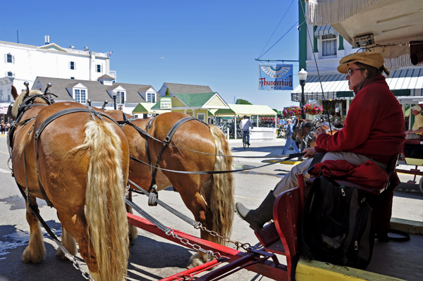
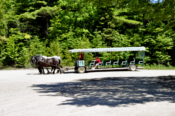
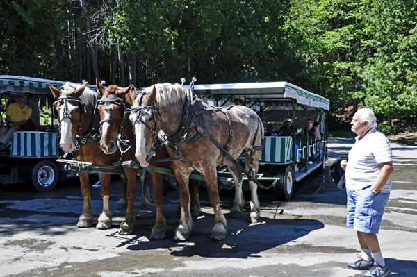
Below:
Lee and Karen Duquette took a horse-drawn carriage tour of Mackinac
Island. Note of interest: Fudge shops were everywhere in downtown Mackinac. |
|
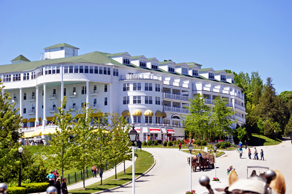
Below: The Grand Hotel
is a historic hotel and coastal resort constructed in the late
19th century. The facility advertises itself as having the world's largest
porch, 660 feet in length, and it overlooks a vast Tea Garden and resort-scale
swimming pool. The Grand Hotel is well known for a number of notable
visitors, including five U.S. Presidents. The hotel has drawn some criticism
for charging a $10 fee for non-guests to enter the building and enjoy
the view from the famous porch. |
|
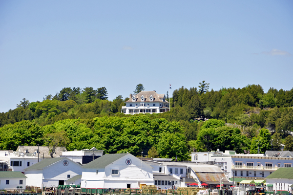
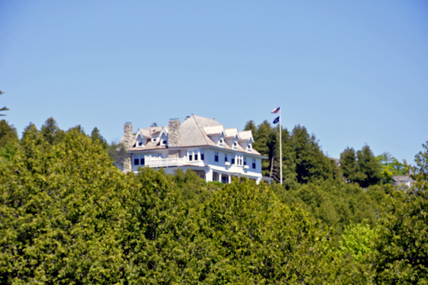
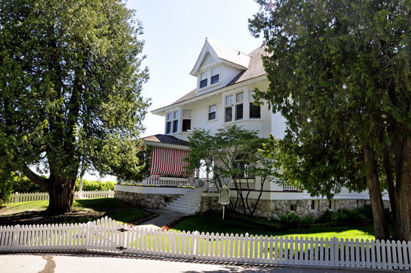
Below: Over 100 years old,
the Michigan Governor’s Summer Residence has functioned as a summer
home for nine Michigan Governors and their families dating to 1943.
Visitors can enjoy a rare look inside the 1902 cottage on a free tour
overlooking Mackinac Island’s harbor. There was no admission and
tours run from 9:30 a.m. to 11:30 a.m. (always subject to change as
time passes) The two RV Gypsies got here too late to take the tour.
No food, drink or cameras allowed. |
|
|
|
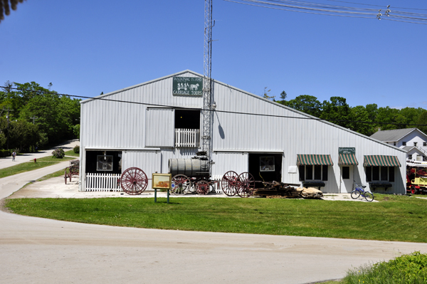
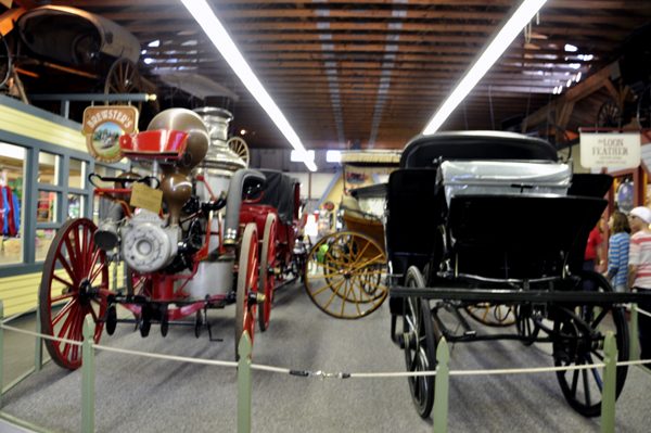
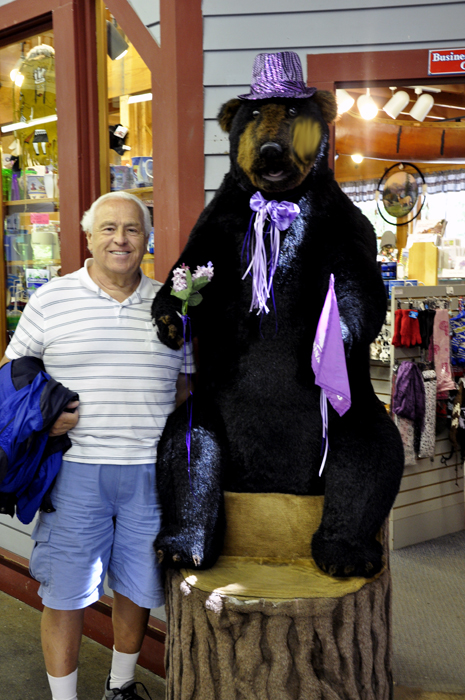
Below: The horse-drawn
carriage tour let everyone off at the Surrey Hills Museum (free admission)
to see historical carriages and of course, browse gift shops. Lee Duquette
made a new friend in the gift shop. |
|
|
| |
Below: After browsing the
Surrey Hills Museum, Lee and Karen Duquette changed to a bigger carriage
with three horses to finish the tour. |
|
|
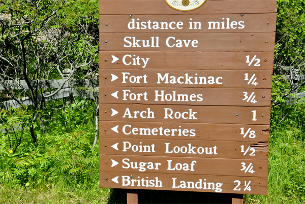
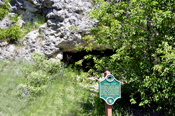
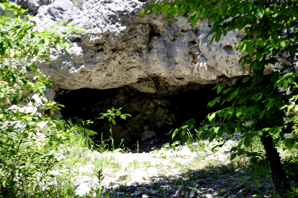
Below: Skull Cave is a small and shallow cave carved during the
Algonquin post-glacial period by the waters of Lake Algonquin, a swollen
meltwater ancestor of today's Lake Huron. Skull Cave is primarily of
interest for its historical associations. It is believed to have been
used as an inhumation site by Native Americans of the Straits of Mackinac
area in the 18th century.
While in active use as a site for human remains, the cave was also used as a refuge in 1763 by fur trader Alexander Henry, a survivor of the capture of Fort Michilimackinac by Native Americans allied with Chief Pontiac. |
|
|
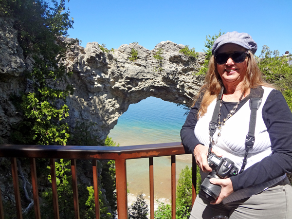
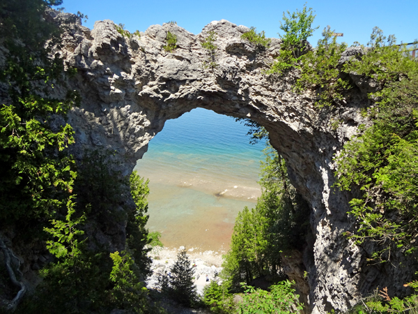
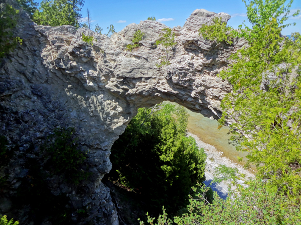
Below: The Arch Rock is a geologic formation, a
natural limestone arch formed during the post-glacial period, a period
of high Lake Huron levels following the end of the Wisconsin glaciation.
To this day Arch Rock stands on the Lake Huron shoreline 146 feet above
the water.
Limestone breccia is not an ideal material for natural bridges, and this type of formation is quite rare in the North American Great Lakes region. The Native Americans saw Arch Rock as a place of numinous power, and told many stories and legends about it.
Euro-Americans did not share many of the taboos of their Native predecessors, and treated Arch Rock as a curiosity to be admired. Its presence was a major element in the decisions to create Mackinac National Park in 1875 and its successor, Mackinac Island State Park in 1895. Arch Rock has been a part of the State Park ever since. Today Arch Rock is a focus of Mackinac Island tourism, and is seen by many visitors to the Island. Several trails and paved roads, including the aptly named Arch Rock Road and Arch Rock Bicycle Trail, lead to the formation. |
|
|
|
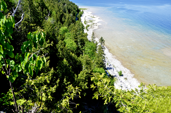
Below: Looking down from beside the
Arch Rock |
Below: Lee Duquette and
the horse-drawn carriage |
|
|
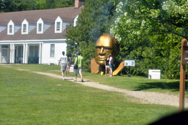
Below: A large Golden Head
Monument |
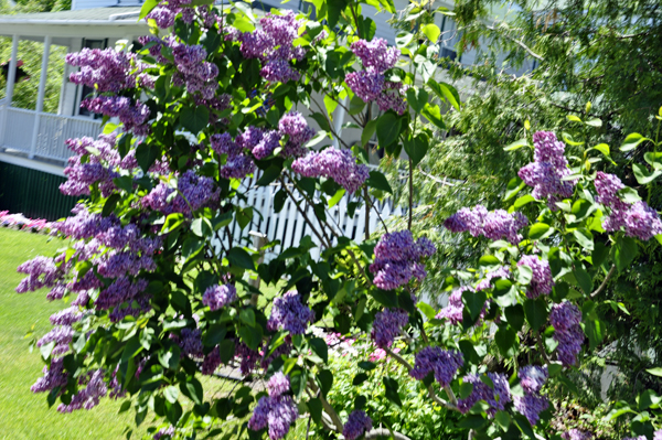
Below: A white Lilac tree |
|
|
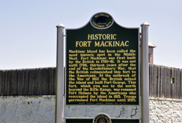
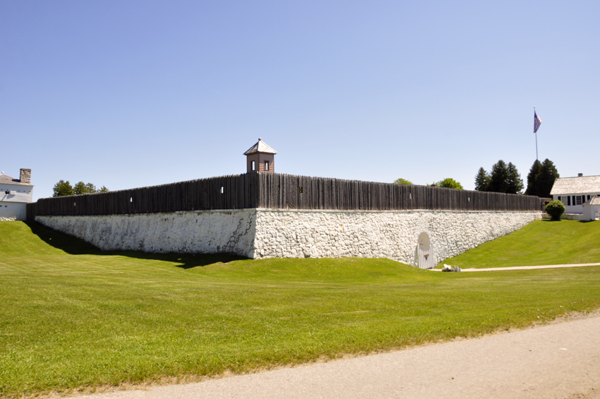
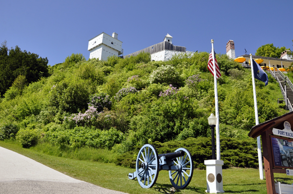
Below: The island served
a strategic position amidst the commerce of the Great Lakes fur trade.
This led to the establishment of Fort Mackinac by the British during
the American Revolutionary War. It was the scene of two strategic battles
during the War of 1812. An extra fee of $11 is charged to go inside
the fort. (Any times or prices on this website is always subject to
change as times passes and NOT controlled by the two RV Gypsies.) |
|
|
Below: A house for VIP guests
(NOT the two RV Gypsies). |
|
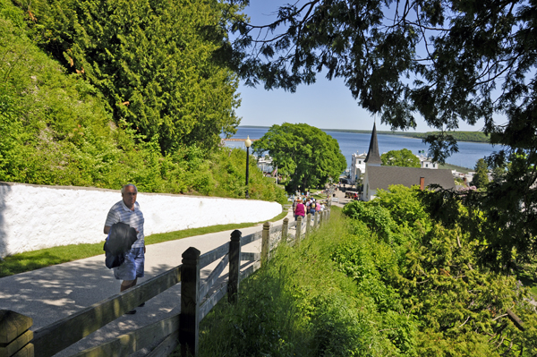
Below: At the
end of the horse-drawn carriage tour, everyone had to walk down a steep
hill to get back into town. |
|
|
|
|
|
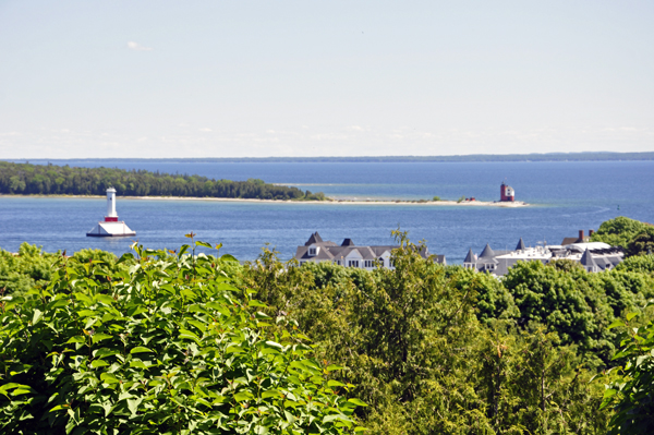
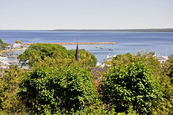
Below: View from the
bottom of the steep hill |
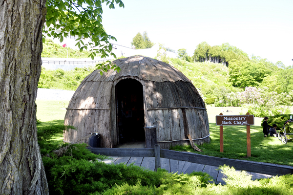
Below: Missionary Bark Chapel |
|
|
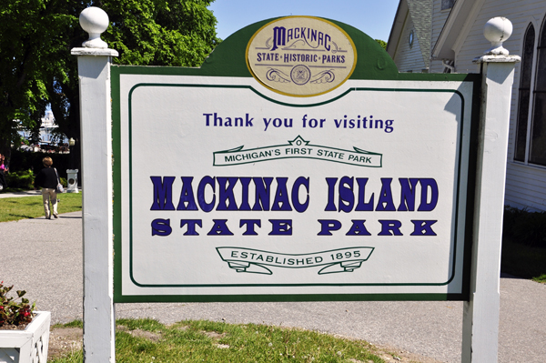
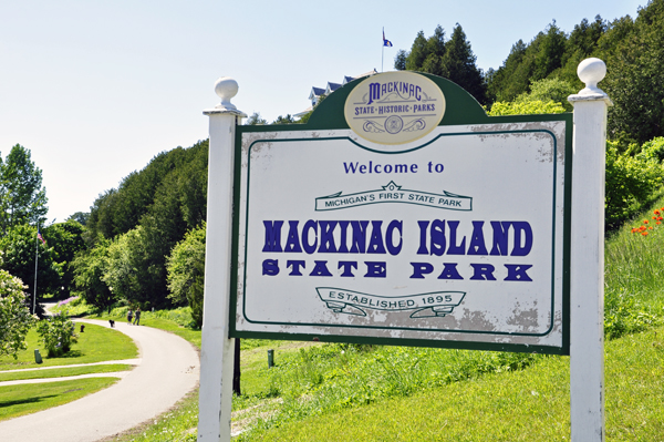
Below: Lee and Karen Duquette
stopped to photograph the sign for leaving Mackinac Island State Park.
On the other side of the sign, Karen photographed the Welcome to Mackinac
Island State Park. The two RV Gypsies toured from the other end of the
island so they did not see this sign until the end of their tour. |
|
|
|
|
Below: Lee and Karen Duquette
had lunch with a nice view. |
Below: Two horses that
pull the Grand Hotel Coach. |
|
|
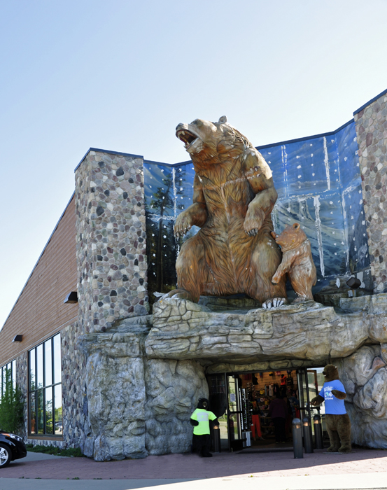
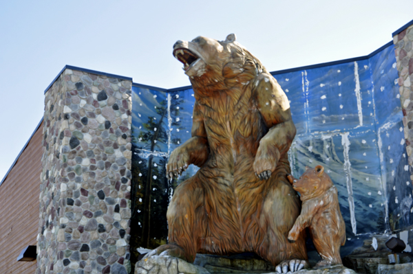
Below: Back
in Mackinaw City, Karen Duquette noticed a bear and cub on top of a
souvenir store. |
|
|
|
Most of the above information is From Wikipedia, the free encyclopedia
|


 AFTER
you have seen all three (3) sections above, please continue on to
AFTER
you have seen all three (3) sections above, please continue on to 


