The
Two RV Gypsies: Full-Time RVers
enjoyed seeing the Buffalo National River in Arkansas
October 21, 2012
plus a Flashback to The Buffalo National River in 2006
|
|
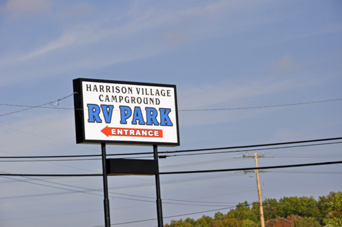
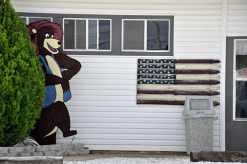
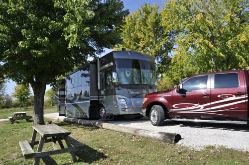
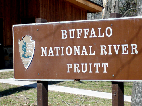
Below are a few photos
of the campground the two RV Gypsies stayed at in 2012. |
|
|
|
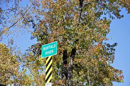
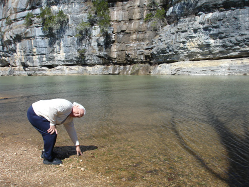
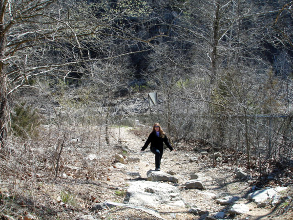
After hooking up in the campground, the two RV Gypsies
set out to see the Buffalo National River and more.
|
| |
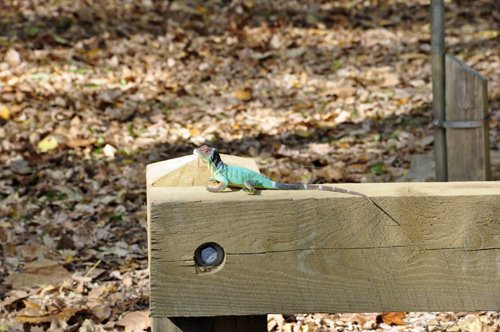
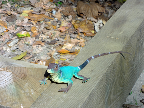
Below: When the two RV Gypsies first
got out of their truck, they saw the biggest, most colorful lizard
they have ever seen. |
|
|
 BUT
WHEN KAREN DUQUETTE PHOTOGRAPHED IT AND IT DID NOT MOVE, THE TWO RV
GYPSIES GOT SUSPICIOUS - RIGHT, IT WAS FAKE - A TOY! The joke was
on them and probably on lots of other people! BUT
WHEN KAREN DUQUETTE PHOTOGRAPHED IT AND IT DID NOT MOVE, THE TWO RV
GYPSIES GOT SUSPICIOUS - RIGHT, IT WAS FAKE - A TOY! The joke was
on them and probably on lots of other people!
|
| |
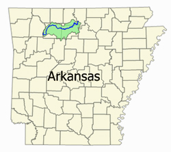
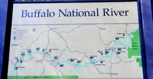
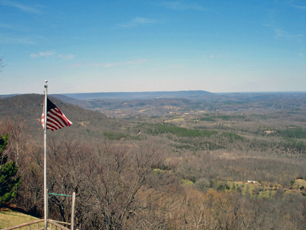
 The
Buffalo River, located in northern Arkansas, was
the first National River to be designated in the United States. The
Buffalo River is slightly more than 150 miles in length, with the
lower 135 miles flowing within the boundaries of an area managed by
the National Park Service, where it is designated the Buffalo
National River. The river flows through Newton, Searcy, Marion,
and Baxter Counties, from west to east. The river originates in the
highest part of Boston Mountains of the Ozarks, flows out onto the
Springfield Plateau near the historic community of Erbie, and finally
crosses the Salem Plateau just before joining the White River. The
upper section of the river in the Ozark National Forest is managed
by the U.S. Forest Service and is designated as a National Scenic
River and a National Wild River. The
Buffalo River, located in northern Arkansas, was
the first National River to be designated in the United States. The
Buffalo River is slightly more than 150 miles in length, with the
lower 135 miles flowing within the boundaries of an area managed by
the National Park Service, where it is designated the Buffalo
National River. The river flows through Newton, Searcy, Marion,
and Baxter Counties, from west to east. The river originates in the
highest part of Boston Mountains of the Ozarks, flows out onto the
Springfield Plateau near the historic community of Erbie, and finally
crosses the Salem Plateau just before joining the White River. The
upper section of the river in the Ozark National Forest is managed
by the U.S. Forest Service and is designated as a National Scenic
River and a National Wild River.
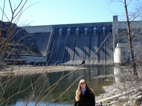
The Buffalo National River was established by an Act
of Congress on March 1, 1972, ending the recurring plans of the U.S.
Army Corps of Engineers to construct one or more dams on the river.
The National River designation protects natural rivers from industrial
uses, impoundments and other obstructions that may change the natural
character of the river or disrupt the natural habitat for the flora
and fauna that live in or near the river. The National Park Service
headquarters for the Buffalo National River is located in Harrison,
Arkansas. |
|
|
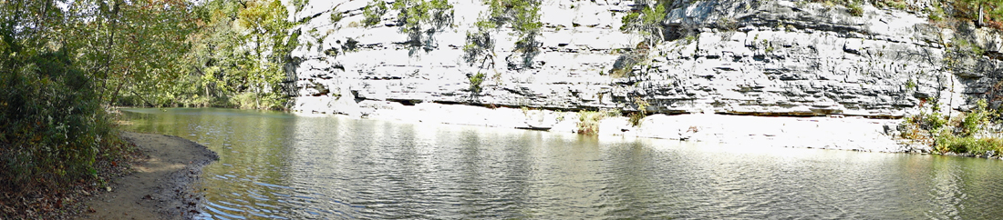
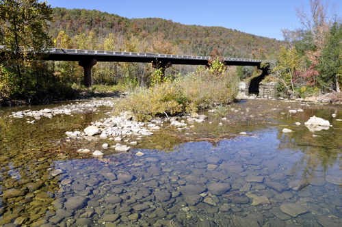
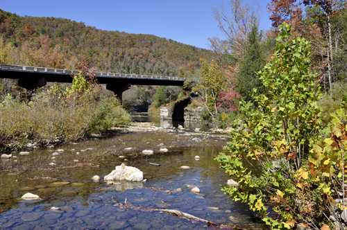
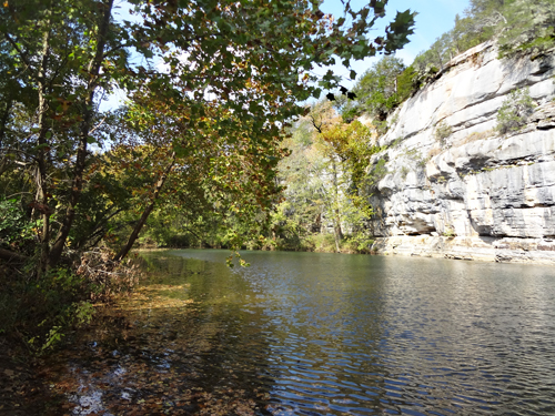
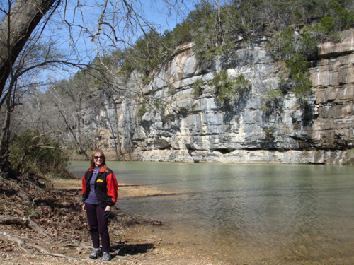
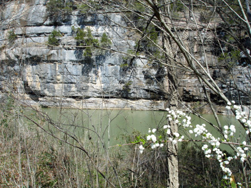
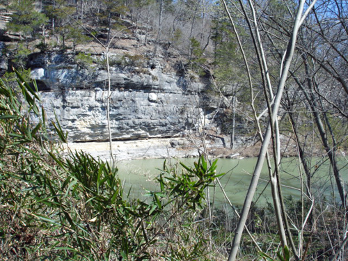
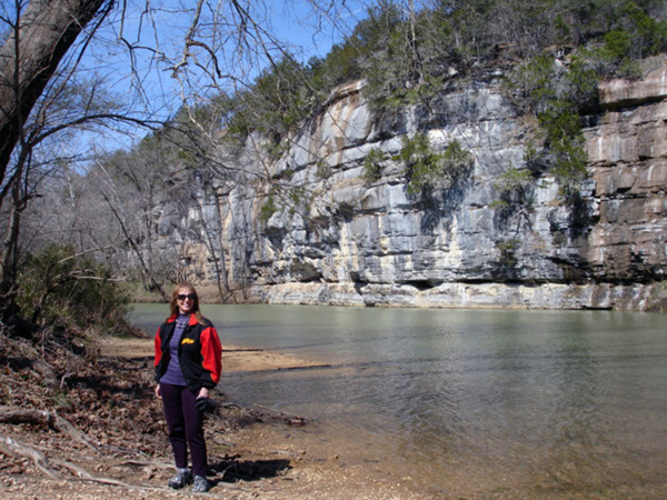
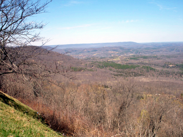
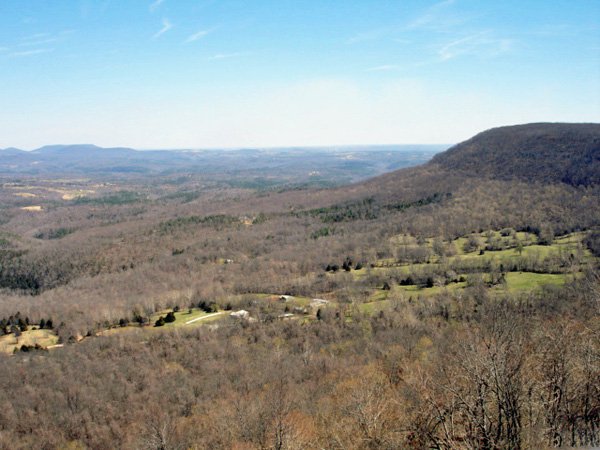
Below: Roark Bluff and the Buffalo
River |
|
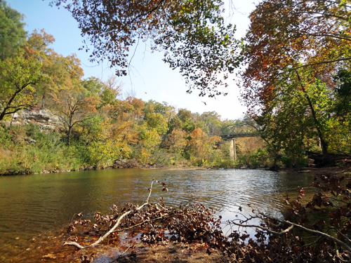
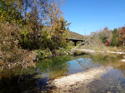
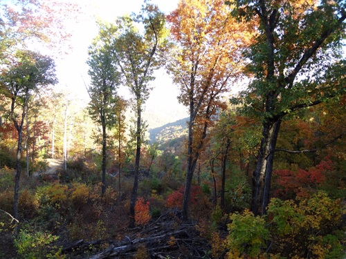
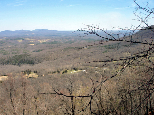
Below: Beautiful fall foliage by the
Buffalo River |
|
|
|
|
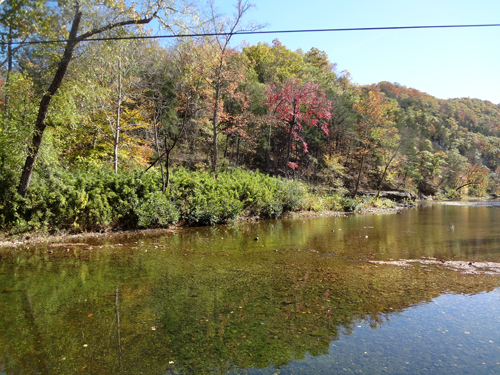
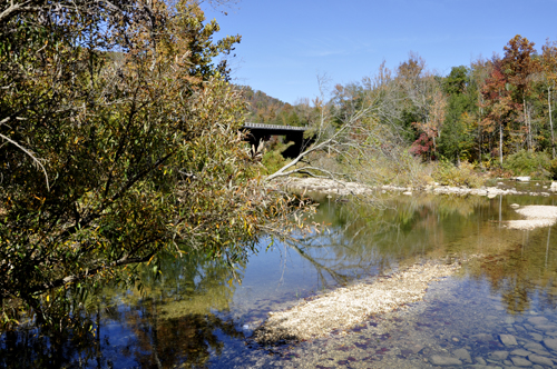
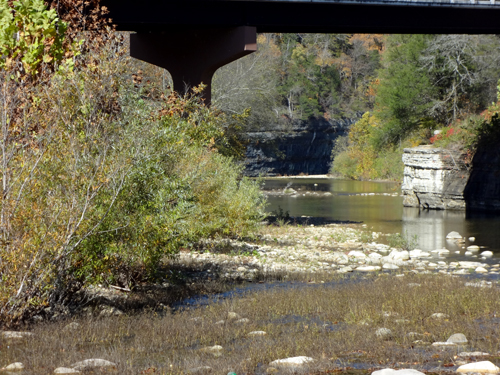
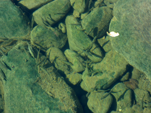
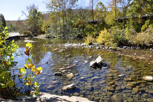
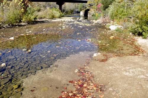
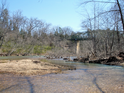
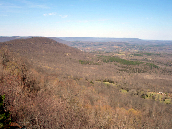
Below:
The water level was very low, but the water is very clear and clean! |
|
|
|
|
|
|
|
|
|
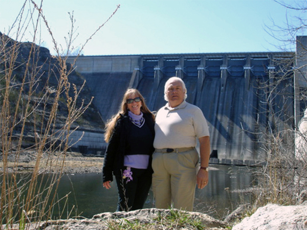
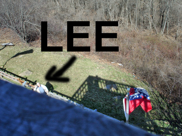
The two RV Gypsies actually
thought that they had never been to Arkansas before, but when they
saw the Buffalo River, Lee Duquette said he remembered being here.
So then Karen Duquette started looking through her photos and found
out that they were actually at this same spot in 2006. Since that
2006 trip was taken at the same time that they went to a timeshare
in Branson, Missouri, all the photos got filed under Branson, both
on the computer and in Karen's brain. DUH! Anyway, here are some of
the 2006 photos at the Buffalo River. |
|
|
|
|
|
|


 If
you have seen all of the Arkansas places, continue on to
If
you have seen all of the Arkansas places, continue on to 


