Capitol Reef National Park - Page 2 of 2 - Chimney Rock and more

sign: Chimney Rock

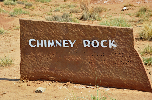
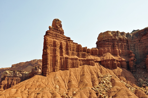
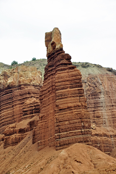
Chimney Rock is located at the beginning of the Chimney Rock trail. These photos were taken from the parking lot and from a pull-off by the road.

Chimney Rock at Capitol Reef National Park

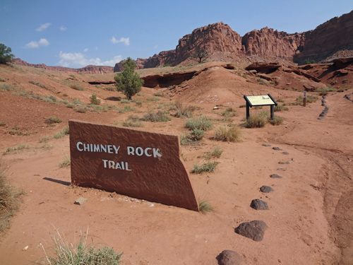
Below: The beginning of Chimney Rock Trail - NO, Lee and Karen Duquette did NOT hike this trail.
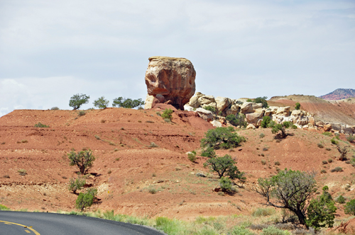
Chimney Rock trail

Below: As Lee and Karen Duquette approached a corner, they saw a what they thought was a single rock on a hill.

a single rock on a hill

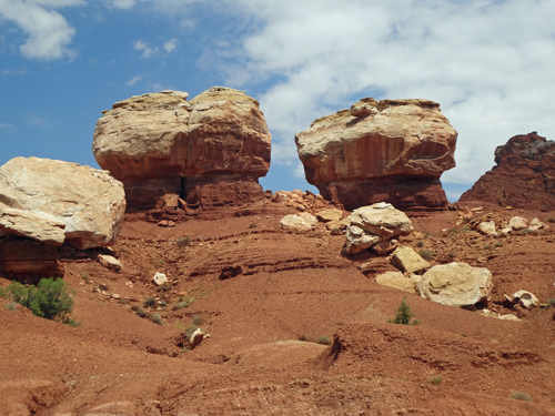
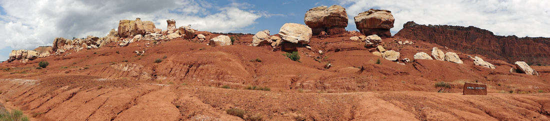
But as Lee Duquette drove around the corner, they realized that the rock they saw (above) was NOT a single rock, but indeed, it was one of the Twin Rocks.

Twin Rocks at Capitol Reef National Park

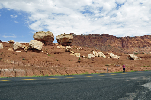
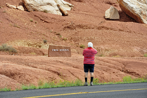
It was then Karen Duquette saw the sign by the road. Lee Duquette looks very small in the photo below on the left.

Lee Duquette stands by the road to photograph the Twin Rocks

Twin Rocks at Capitol Reef National Park

Twin Rocks at Capitol Reef National Park
panorama of Twin Rocks at Capitol Reef National Park

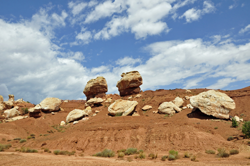
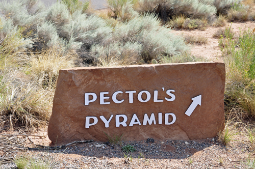
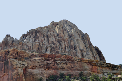
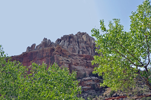
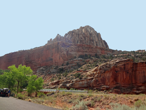
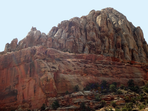
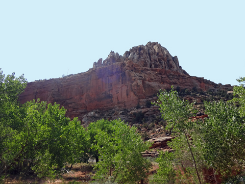
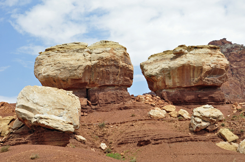
Below: Different views of Pectol's Pyramid

sign: Pectol's Pyramid
Pectol's Pyramid at Capitol Reef National Park

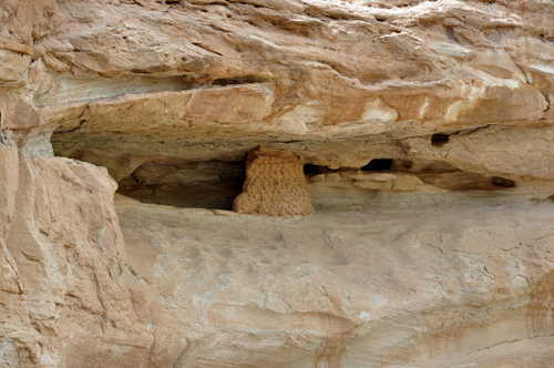
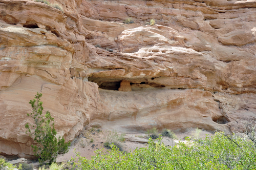
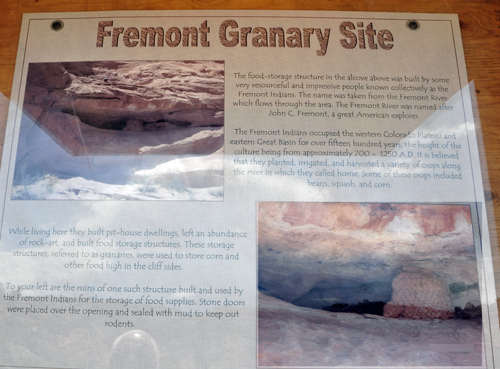
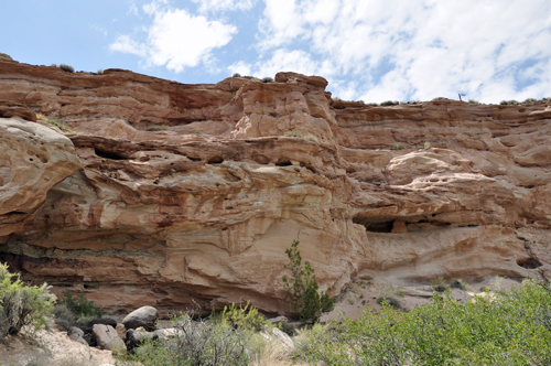
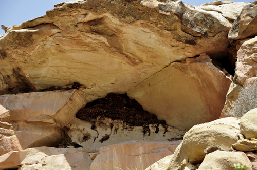
Granary Site: The food-storage structure in the alcove (shown below) was built by some very resourceful and impressive people known collectively as the Fremont Indians. The name was taken from the Fremont River which flows through this area. The Fremont River was named after John C. Fremont, a great American explorer.

Granary Site at Capitol Reef National Park

The above photos match the photo in the poster shown below. The two RV Gypsies were eating their picnic lunch when Karen Duquette noticed the poster and then noticed that it matched the Granary Site on the mountain across from the poster.

sign about the Fremont Granary Site
formations near the Fremont Granary Site

The Fremont Indians occupied the western Colorado Plateau and eastern Great Basin for over 1500 years, the height of the culture being from about 700 - 1250 A.D. It is believed that they planted, irrigated, and harvested a variety of crops along the Fremont River in which they called home. Some of these crops included beans, squash, and corn.

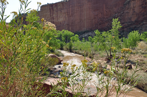
Below: A small part of The Fremont River

The Fremont River by Capitol Reef National Park

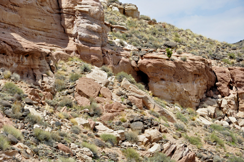
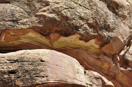
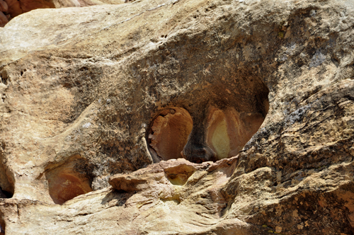
Below: Close-ups of different mountain areas

close-ups of different mountain areas

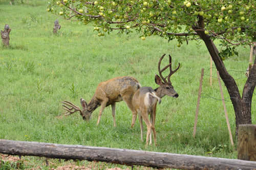
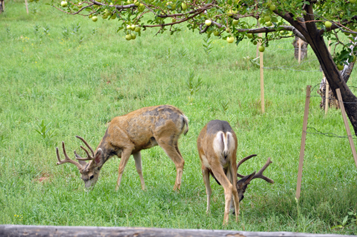
Below: Deer in the Fruita area of Capitol Reef National Park

deer
deer

Capitol Reef National Park - MENU (TOC - Table of Contents)

IMPORTANTThere are 4 MORE sections of Capitol Reef National Park below, plus a link to the Utah and Colorado menus. Putting photos in different sections allow the photos to load faster on your computer. It also gives you the opportunity to view the sections in any order you choose.

look below for menu options

1. Capitol Reef National Park - RETURN to page 1

2. Burr Trail Road

3. Hickman Bridge Trail and the Natural Bridge 133 feet long and 125 feet high

4. Goosenecks Point

5. Wonderland RV Park

Look below

go back to the Colorado Menu page After you have seen all of the above, return to the Utah menu page for the other eleven adventures of the two RV Gypsies in Utah - several USA National Parks, Utah State Parks, Goblin Valley and more.

OR If you have seen all of the Utah National and State Parks, continue on to Colorado in 2012