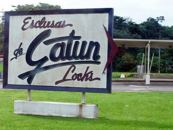
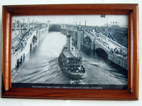
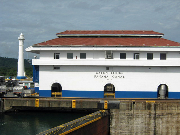
Below: Entry sign and photo of Tug Gatun, First Vessel through Gatun Locks |
 |
 |
 |
 |
 |
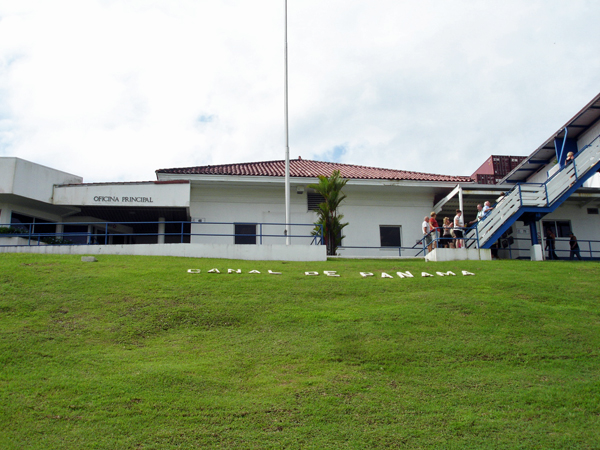 |
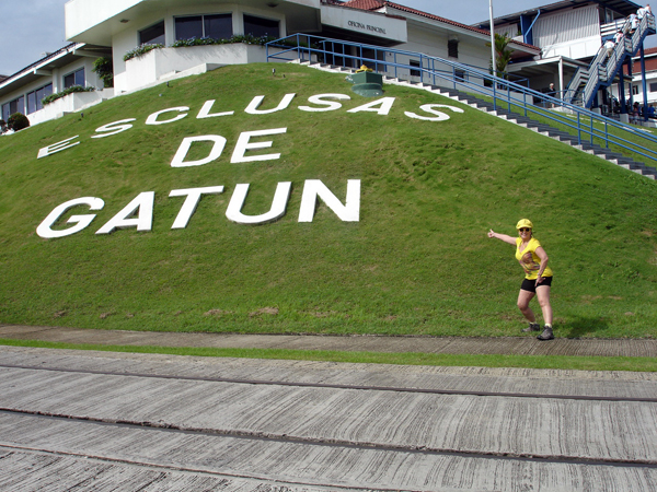
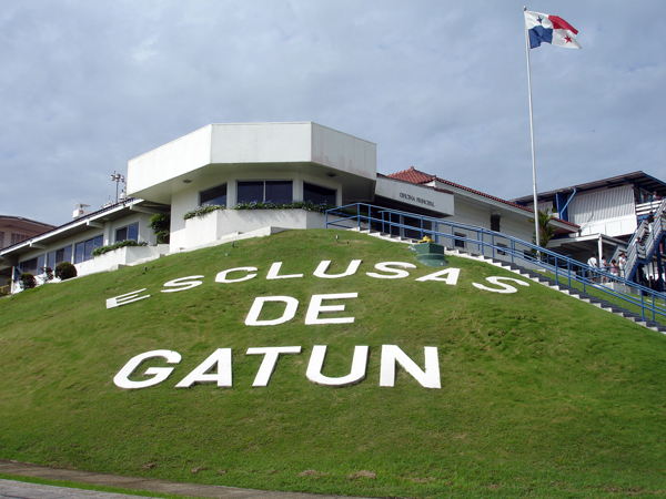
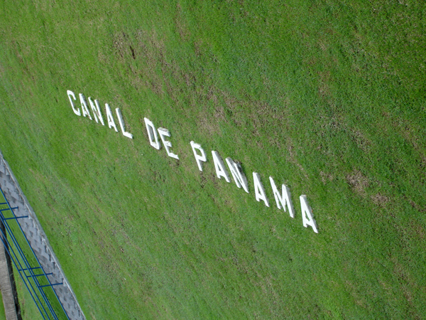
Below: Before climbing up the stairs AND after climbing up the stairs, Karen Duquette took pictures of the words in the grass. |
 |
 |
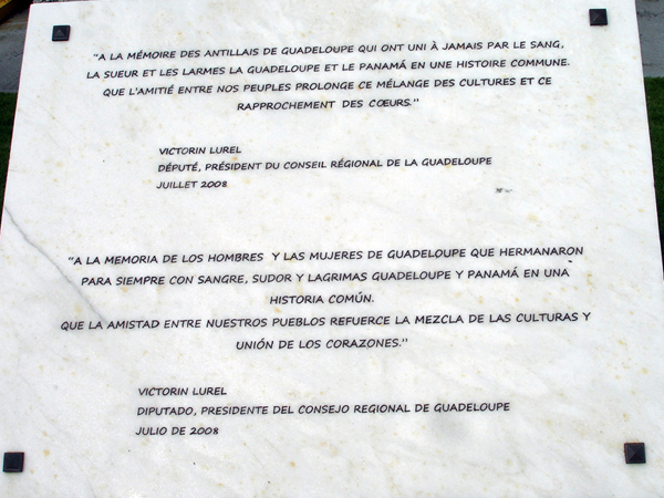
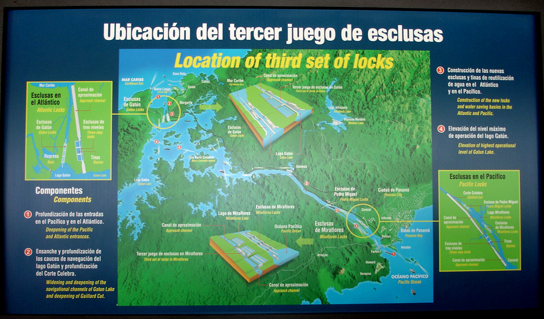
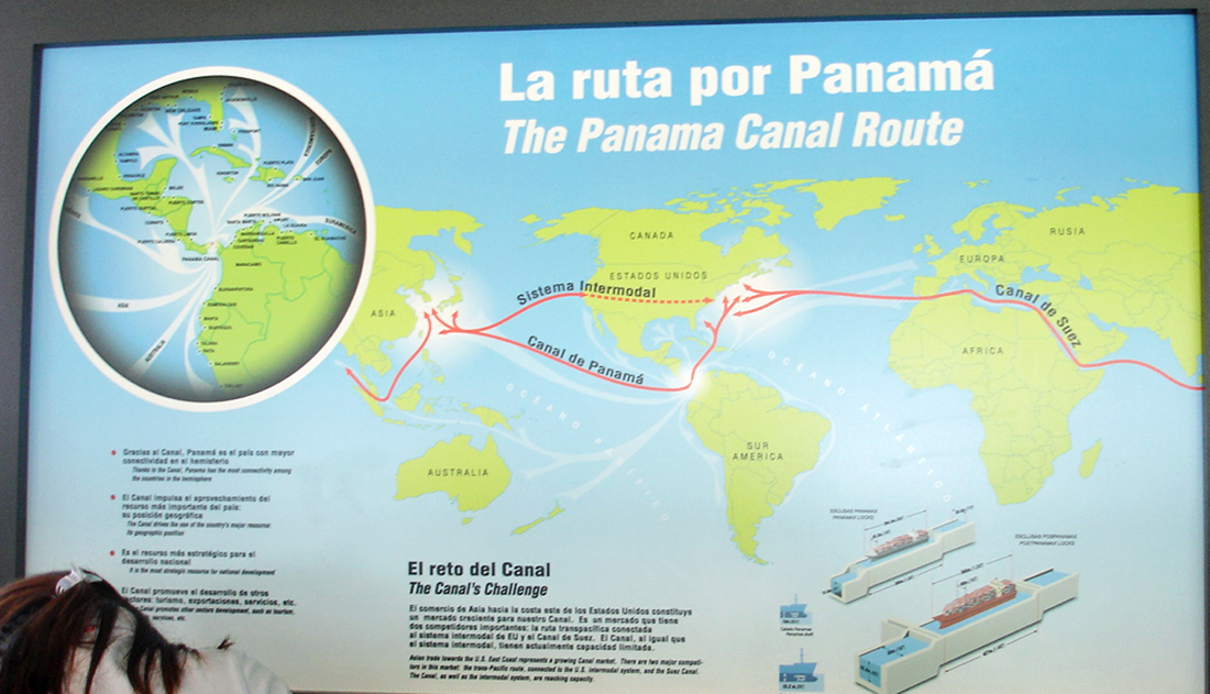
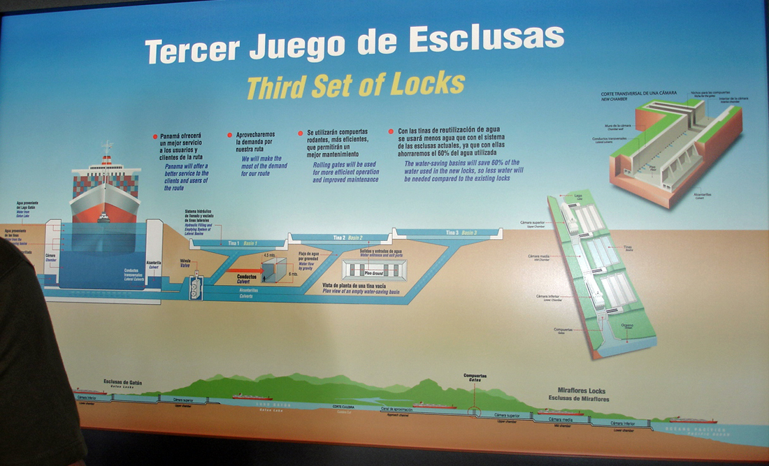
Below: At the top of
the stairs (shown in the above photo), the wall was full of informative
signs. |
 |
 |
 |
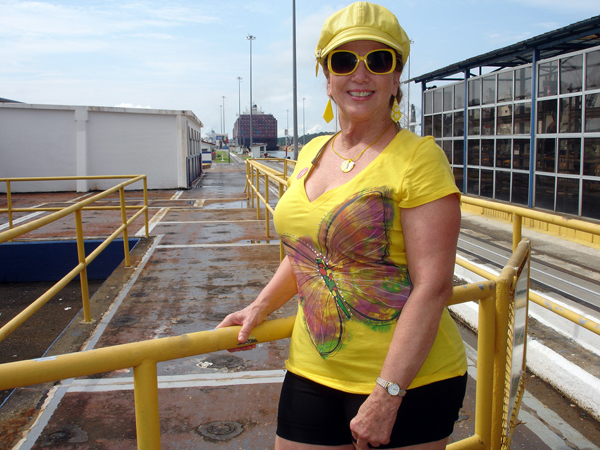
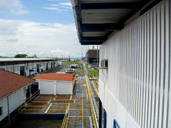
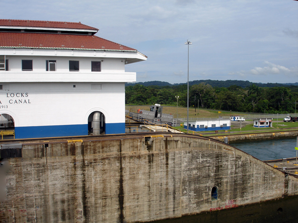
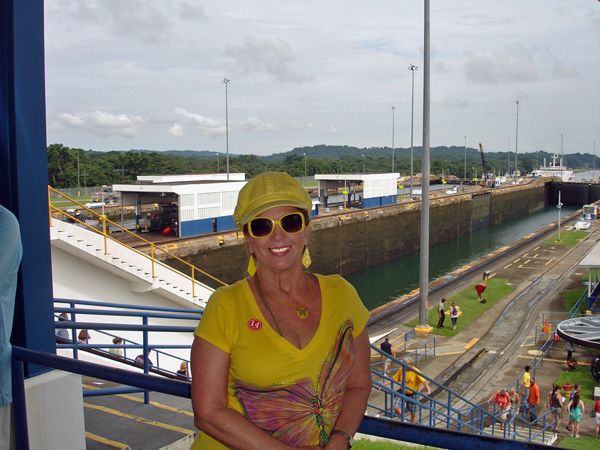
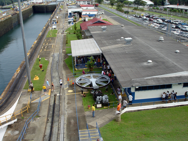
Below: Karen Duquette on the platform on the back side of the building |
 |
 |
 |
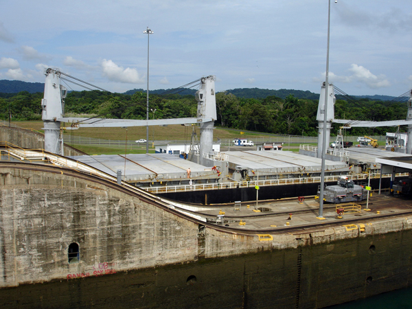
Below: The middle section
where visitors are not allowed. |
 |
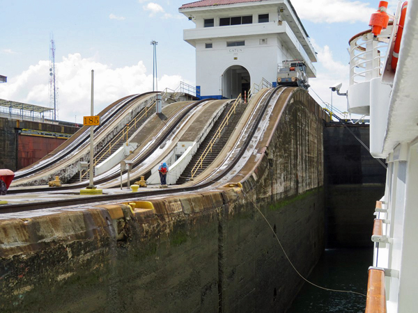 |
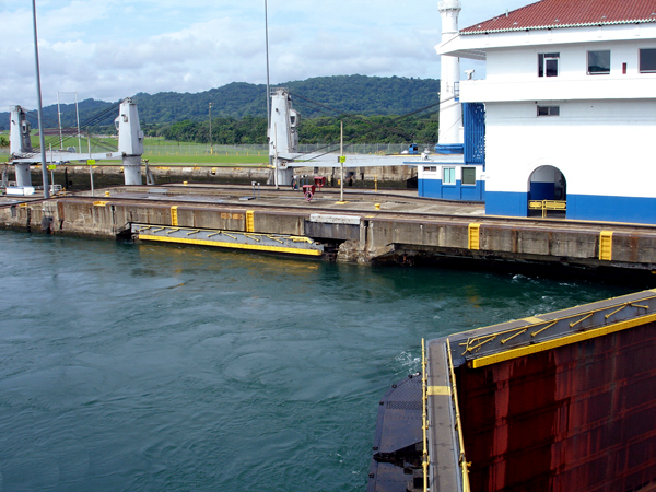
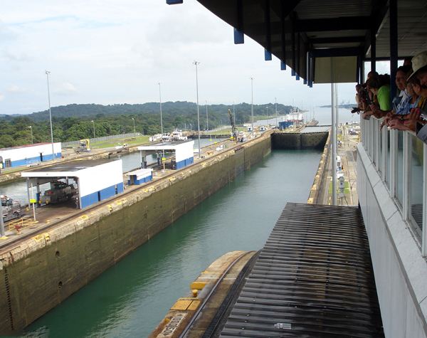
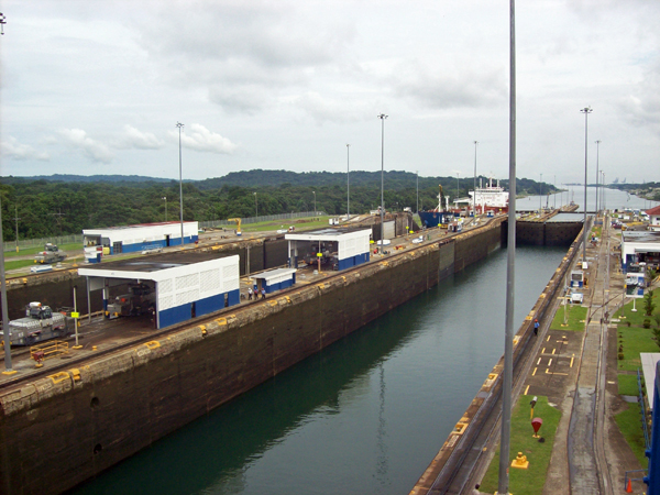
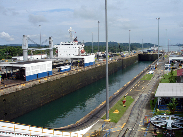
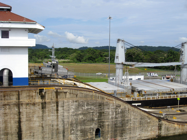
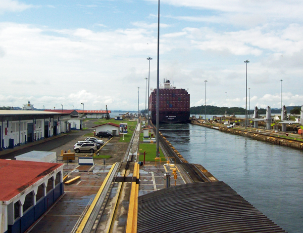
Below: Standing on the platform facing the building shown above, Karen Duquette photographed both the left side of the locks and the right side of the locks. The gates of the Panama Canal locks separate the chambers and are strong enough to hold thousands of liters of water. Here, the canal locks lift ships up 85 feet above sea level to Gatun Lake, an artificial lake created to reduce the amount of excavation work required for the canal. And of course, then the ship is lowered at the other end. |
 |
 |
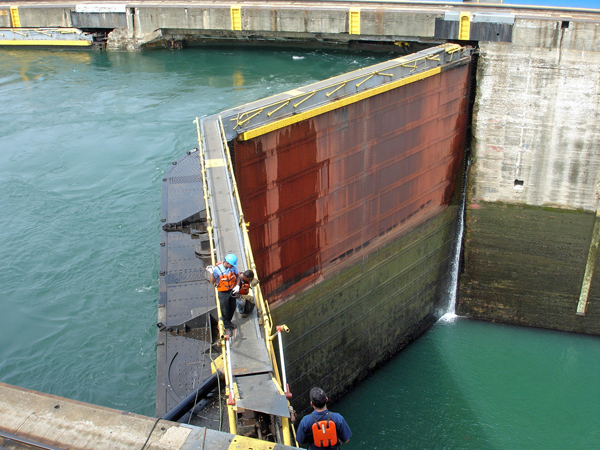
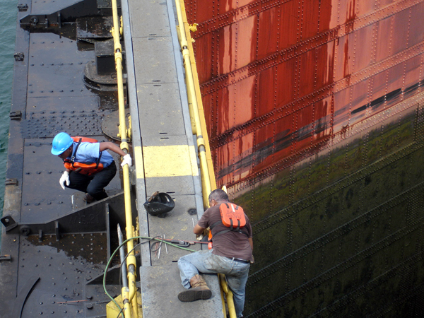
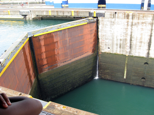
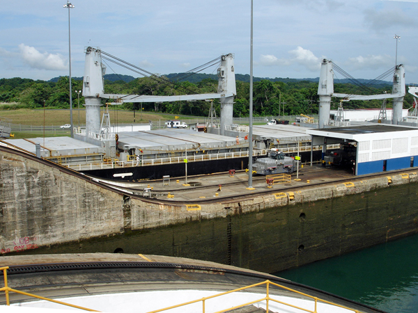
Below: Looking down at workers
on the top ledge of the gate. They did NOT have any safety ropes on
because they move around and climb a lot. But they did wear life jackets
in case they should fall in the water. |
 |
 |
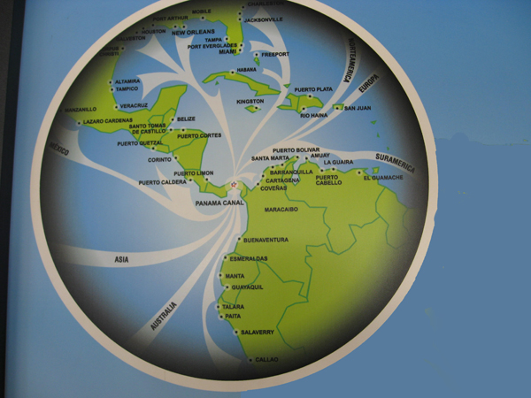
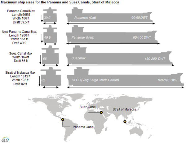
Below: A map showing the Panama and other locks and the size of ships each can handle. |
 |
Below: Karen Duquette and
many other people stood on a platform where they could look both right
and left of the gate to take photos. |
 |
 |
Below: Looking to the left |
Below: Looking to the right |
 |
 |
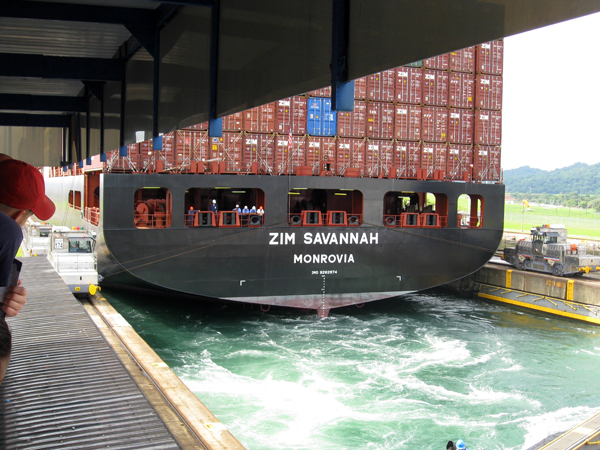
Below: Finally a ship came through the chamber on the far side. Only
the top of the ship could be seen from where Karen Duquette was standing. |
 |
 |
 |
|
 |
|
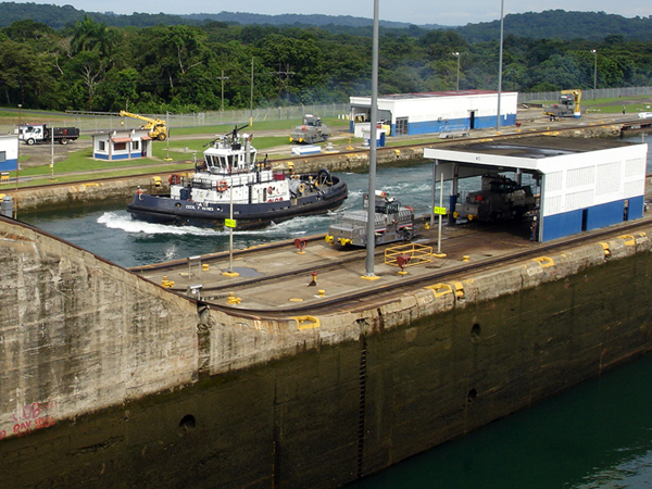
Below: A little tug boat
went through the locks on the far side |
 |
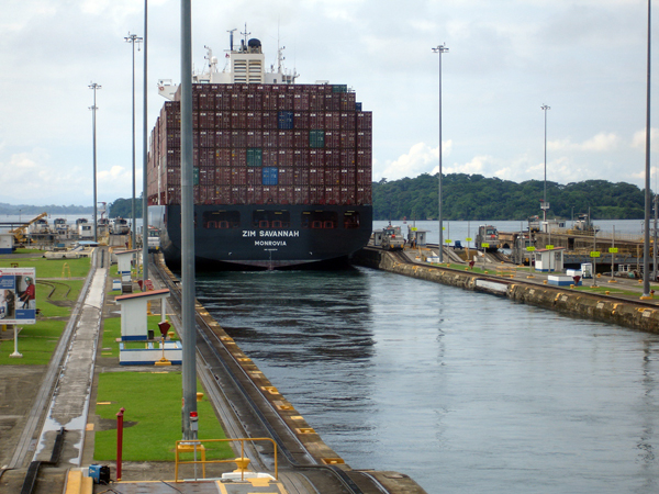
Below: Looking to the left of the platform as a cargo ship went through. |
 |
 |
 |
|
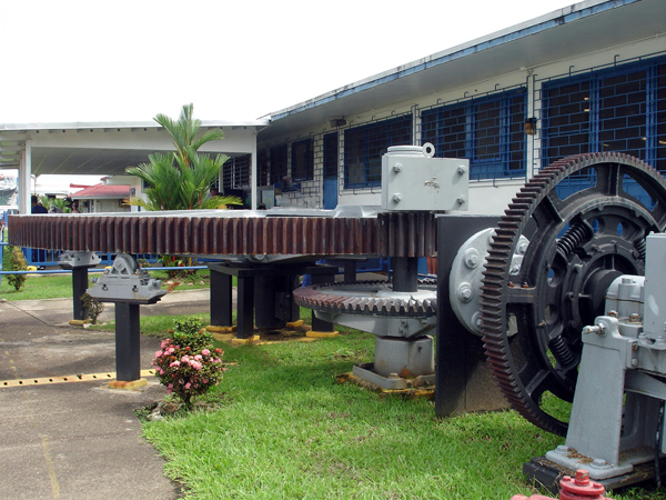
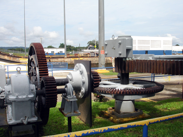
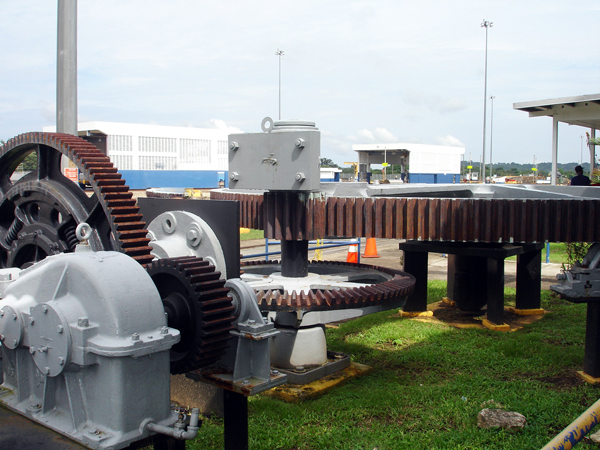
Below: A look at the canal gears from the viewing platform |
 |
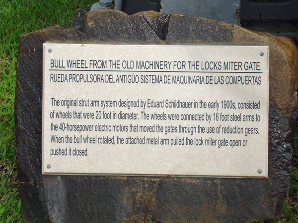
Below: Back at ground level, Karen Duquette got a closer look at the canal gears |
 |
 |
 |
 |
.jpg)