|
|
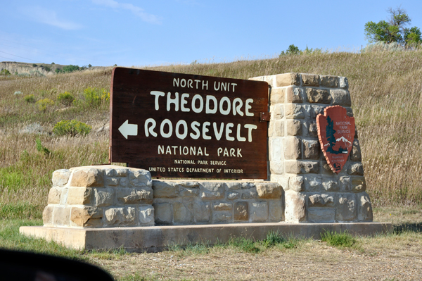
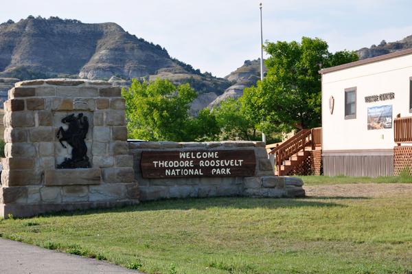
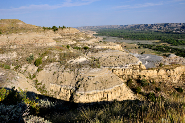
The Scenic Drive in the North Unit is 28 miles round trip with scenery very different from the more popular South Unit. However, part of the road is often closed in the winter. |
|
|
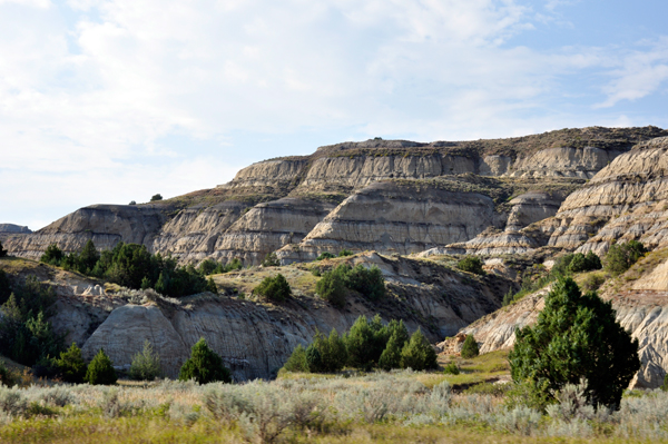
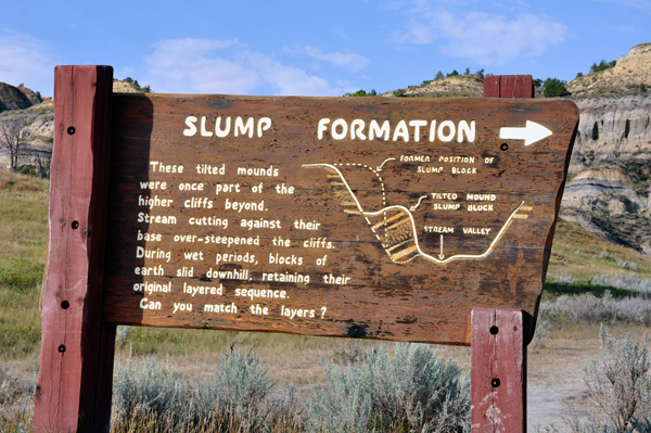
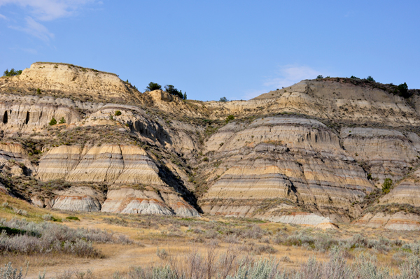
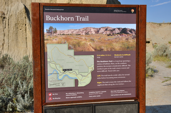
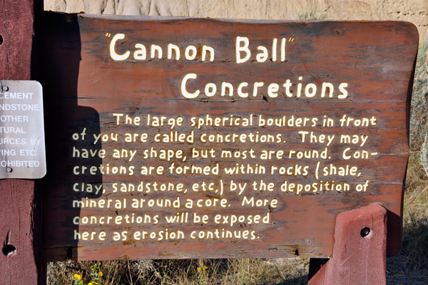
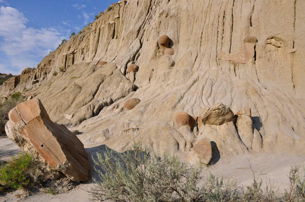
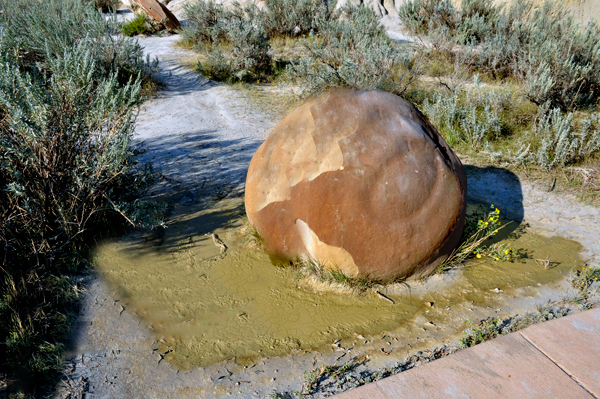
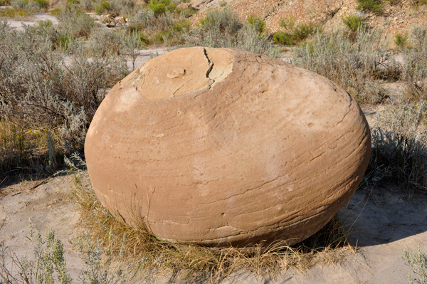
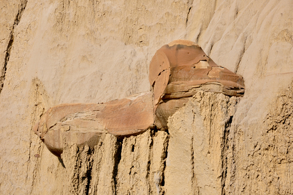
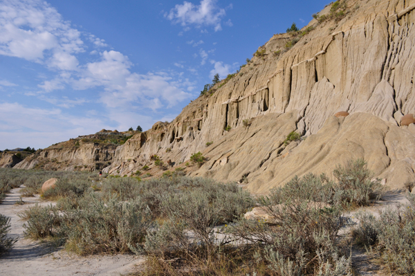
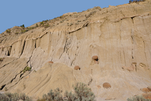
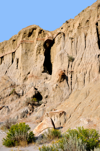
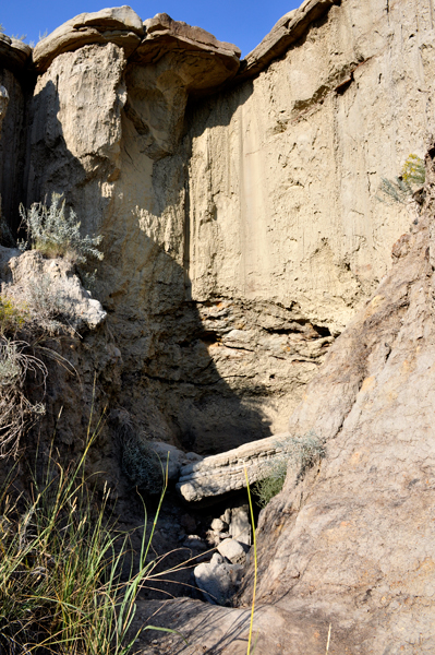
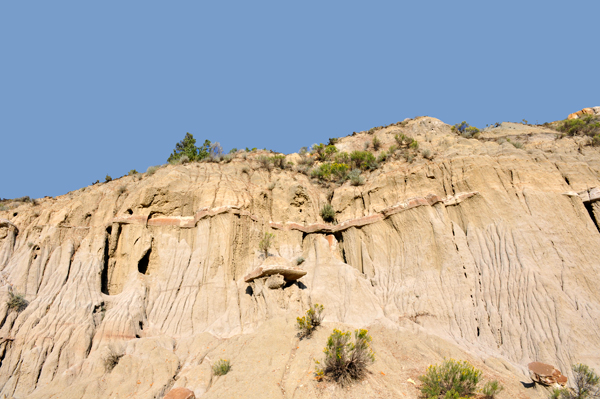
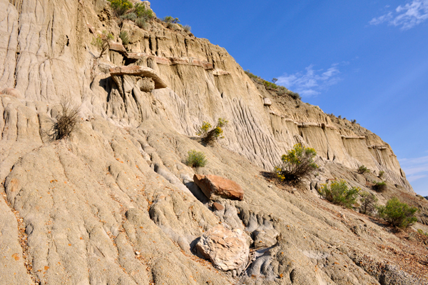
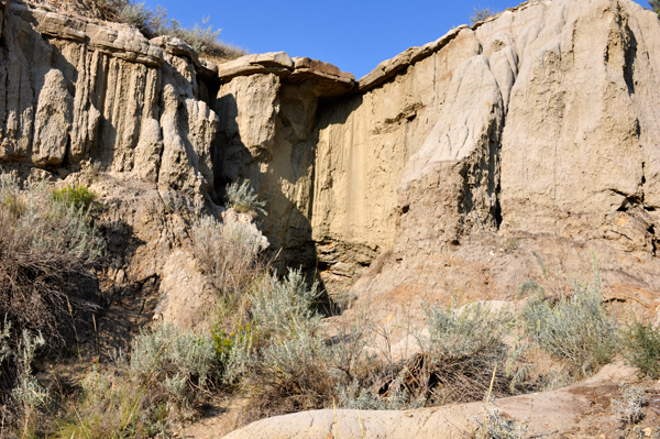
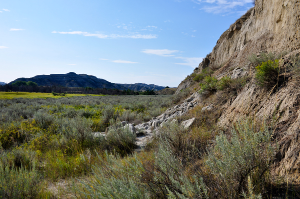
The two RV Gypsies found the Buckhorn Trail to be the most interesting area with the tilted mounds and Cannon Ball Concretions. |
|
|
|
|
|
|
Above and Below: Cannon Balls
- large spherical boulders that were more than waist high on Karen Duquette.
|
|
|
|
|
|
|
|
|
|
|
|
|
|
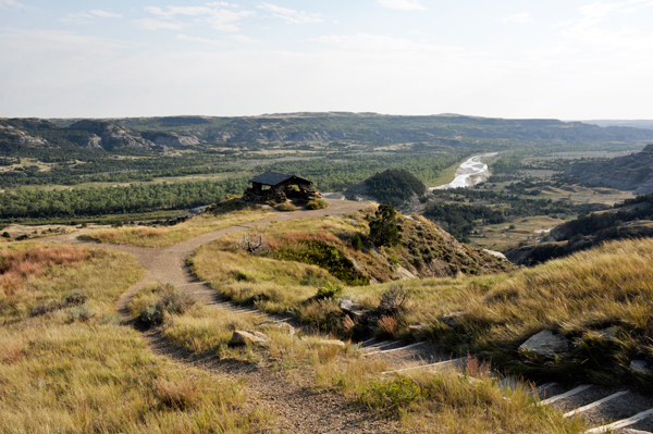
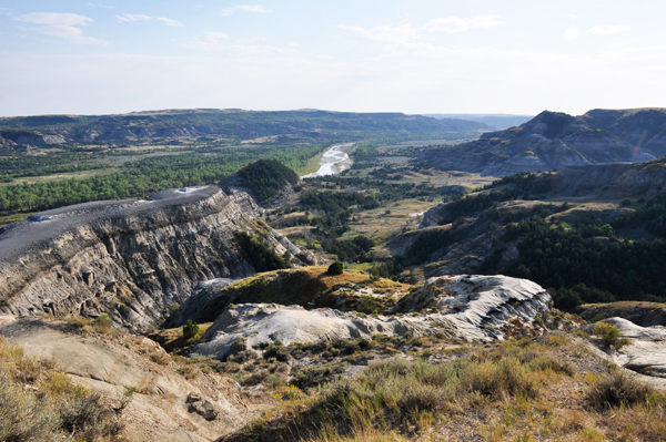
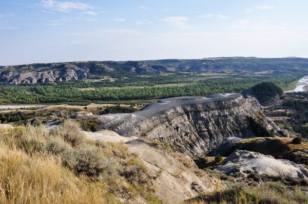
Oxbow Overlook. Here the Little Missouri River takes a hard turn to the east. The river originally continued north to Hudson Bay. During the most recent ice age, continental glaciers blocked its way, hence the turn. |
|
|
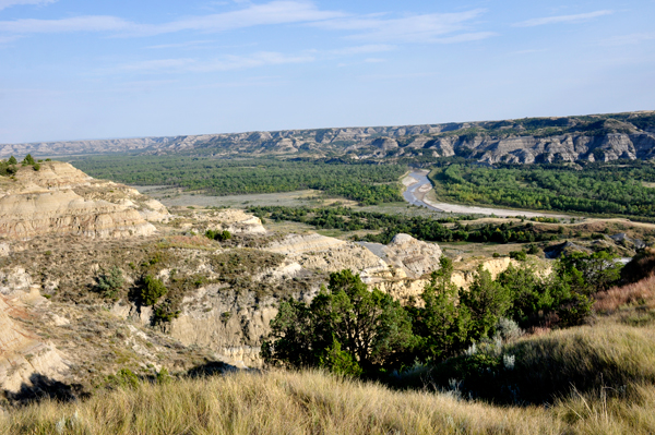
Below: View from River Bend Overlook was a short walk from the parking area to a fantastic view of the Little Missouri floodplain. Bentonite, a fine-grained, blue-gray clay defines the badlands' landscape. The dark band is alginate coal seam. |
|
|
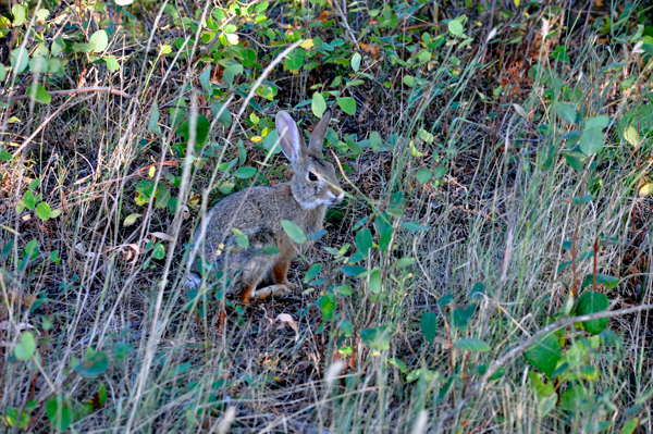
Below: Another cute rabbit |
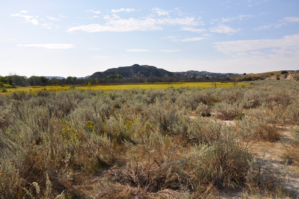
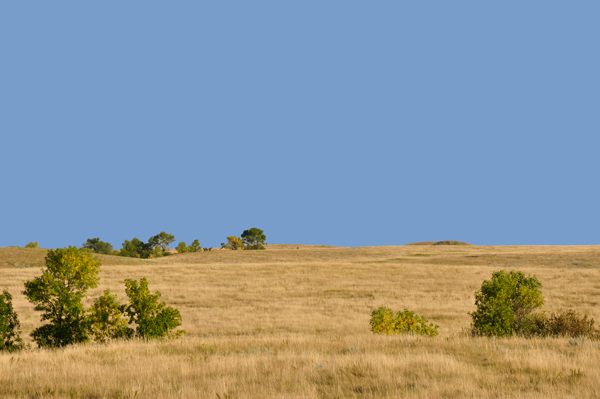
Below: Prairie grassland |
|
|
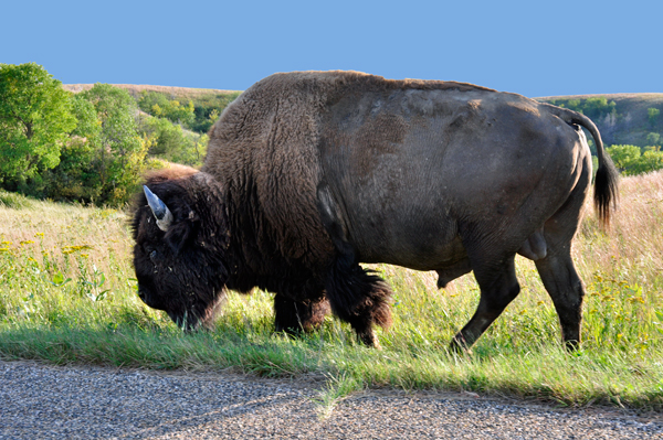
Below: As the two RV Gypsies
were leaving the park, they finally saw a buffalo. Although they have
seen lots of buffalo elsewhere, they always enjoy seeing more. |
 |

 Continue navigation in the order of occurrence --