Lee
and Karen Duquette,
The Two RV Gypsies: Full-Time RVers
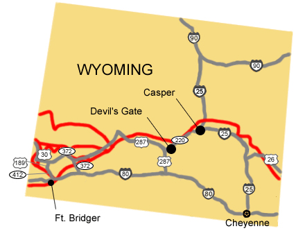
visited Devil's Gate - a noted Oregon-California Trail historic landmark
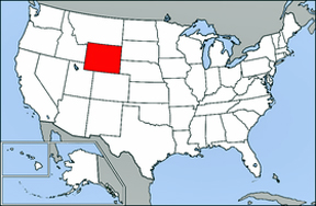
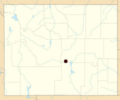
in Lander (Natrona County) Wyoming
August 13, 2013 |
|
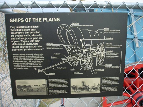
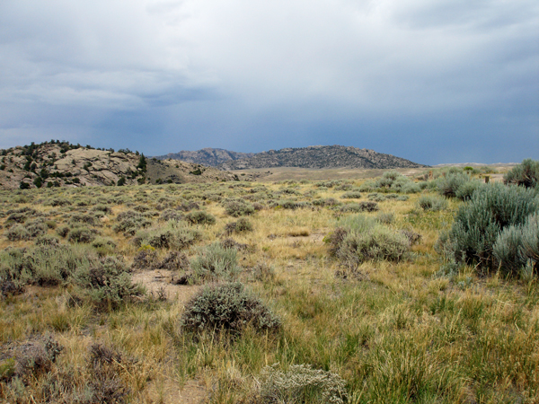
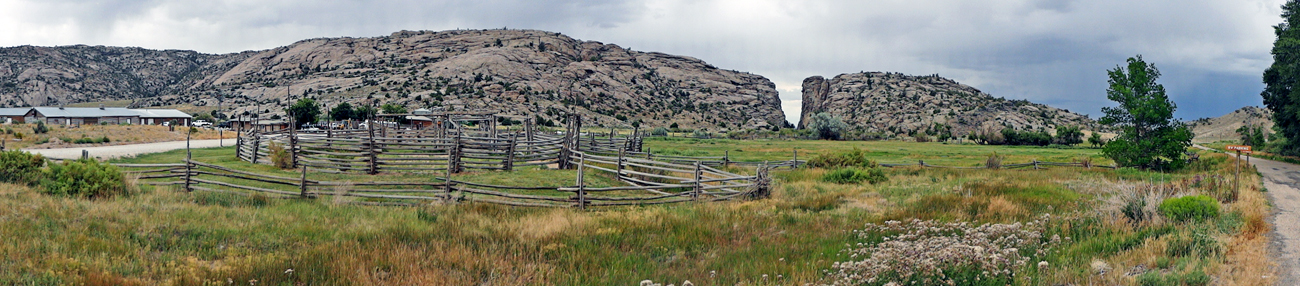
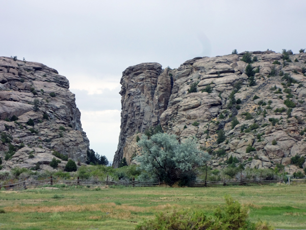
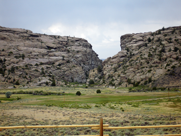
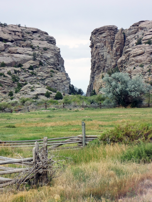
Devil's Gate in Wyoming is a natural rock formation, a narrow cleft carved by the Sweetwater River through a ridge called the Sweetwater Rocks. It is 370 feet deep, 1,500 feet long, and only 50 feet wide in places. It is a few miles southwest of Independence Rock. The site, significant in the history of western pioneers, was a major landmark on the Oregon - California Trail.
 Devil's Gate is a remarkable example of superposed or an antecedent drainage stream. The Sweetwater River cuts a narrow slot through a granite ridge. Yet had it flowed slightly to the south, it could have bypassed the ridge completely. The gorge was cut because the landscape was originally buried by valley fill sediments. The river cut downward and when it hit granite it kept on cutting. It was a matter of pure chance that the river hit the buried ridge where it did. Devil's Gate is a remarkable example of superposed or an antecedent drainage stream. The Sweetwater River cuts a narrow slot through a granite ridge. Yet had it flowed slightly to the south, it could have bypassed the ridge completely. The gorge was cut because the landscape was originally buried by valley fill sediments. The river cut downward and when it hit granite it kept on cutting. It was a matter of pure chance that the river hit the buried ridge where it did.
|
Devil's Gate is among the more interesting geographical landmarks along the emigrant trails. The gorge was impassable to wagons, and the trail passed to the south of the ridge, but this dark, gloomy canyon intrigued the emigrants. Many camped here, and almost all took the detour to inspect the gorge.
More than 20 graves are thought to be located in the immediate vicinity, although only one is marked, and many emigrant inscriptions can still be found on the rock walls of the gorge. |
The Sweetwater Valley was occupied for thousands of years by Native Americans who relied on the resources along the river valley for their survival. The mountain men used the Sweetwater corridor as a travel route to and from the mountains to the west. |
|
|
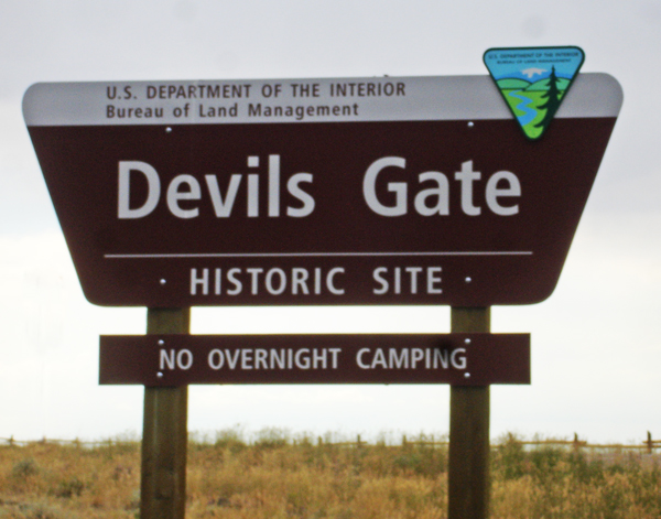
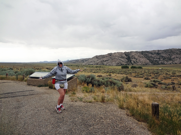
It was warm weather when the two RV Gypsies left their RV in the morning, but as they exited their truck at the entrance sign to Devils Gate sign it was cool and windy, so Karen Duquette put on her hooded sweatshirt. |
|
|
Many brochures state that
it is a short walk from the parking lot to Devils Gate, but this did
not look like a short walk to the two RV Gypsies. But it did not matter.
They were here to explore an area new to them. |
|
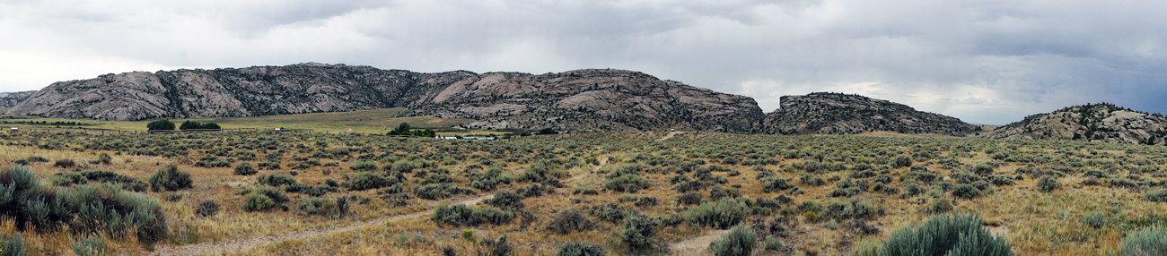
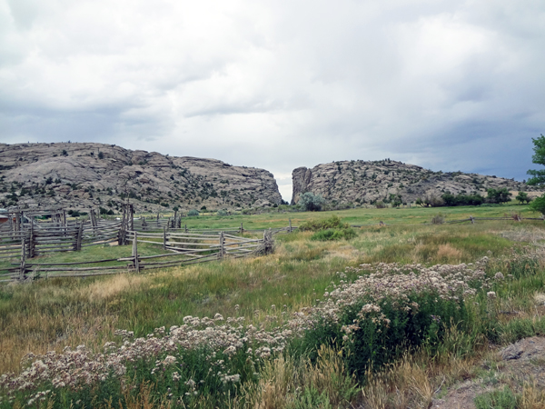
Below: A zoomed in panorama of the panorama shown above. |
|
As the two RV Gypsies walked on the trail, they soon learned that they were just on a short loop that went back to the parking lot and did not get to Devil's Gate. |
|
|
|
|
The two RV Gypsies never did figure out how to get on the real trail to Devil's Gate, so they drove on to Independence Rock. |

 If you have already seen all of the 7 sites in Wyoming, please continue
on to
If you have already seen all of the 7 sites in Wyoming, please continue
on to 


