|
|
|
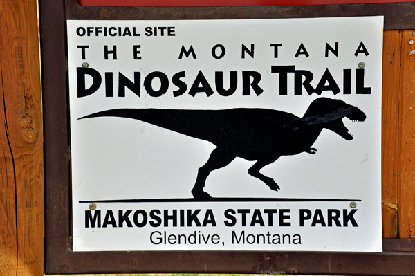
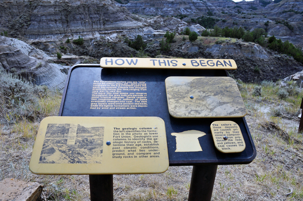
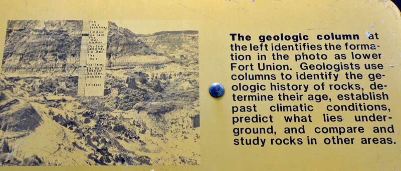
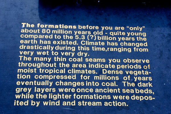
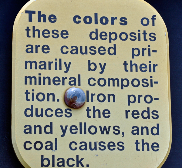
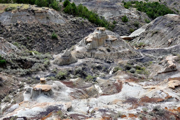
Before hiking
the trail, Karen Duquette photographed some signs that explain the scenery
and formations which she also photographed from the top of the trail,
and again as they hiked the trail. |
 |
|

|
|
|
|
|
 |
 |
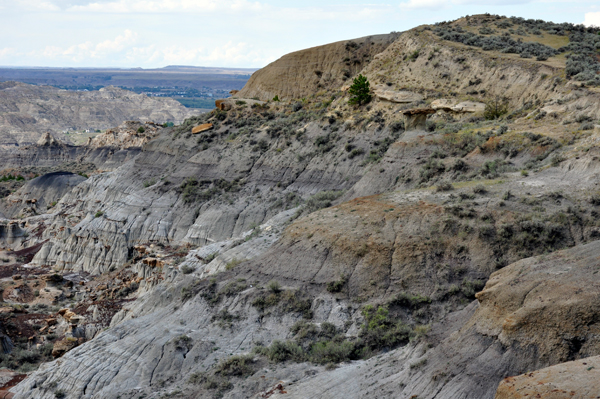
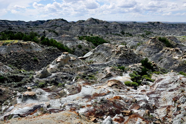
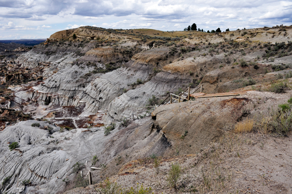
Below: View of part of the trail into the valley below. |
|
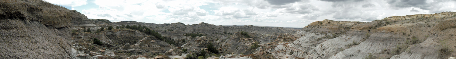
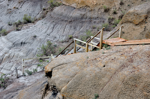
Below: Lee Duquette
took a panorama from the lookout then the two RV Gypsies descended the
stairs to explore the trail and walk on the Natural Bridge. |
 |
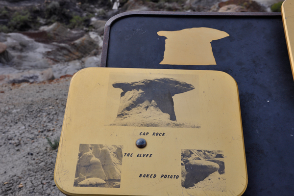
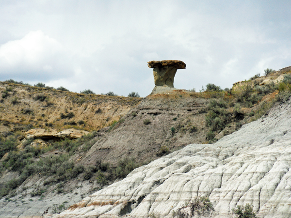
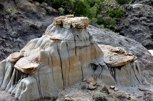
The two RV Gypsies started down the stairs to begin the loop trail all around the bottom of the valley floor for their up-close looks at the fabulous rock formations, including Cap Rock, the Elves, and of course the Natural Bridge that they want to walk on. |
 |
 |
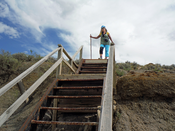
As usual, Lee
Duquette started down the stairs first, then part way down, he turned
and took a photo of Karen Duquette at the top of the stairs. |
 |

 Please continue on to page 3 at Makoshika State Park-