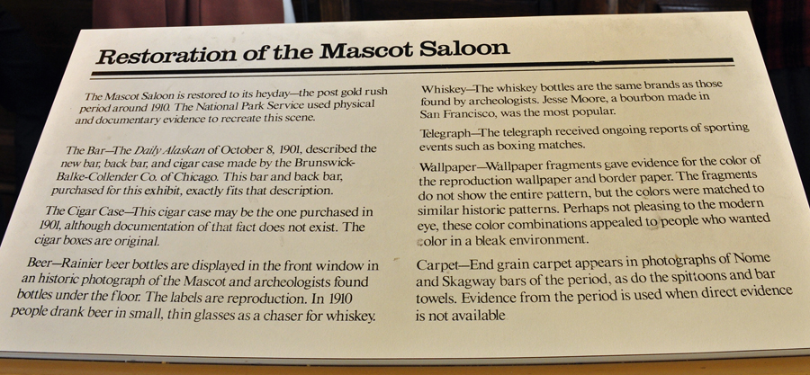
|
|
|
|
|
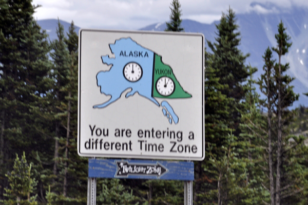
Mile
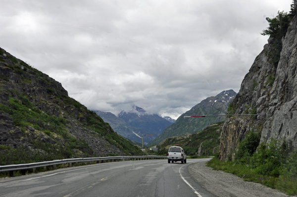
15.9 - 17.5: Avalanche zone (though avalanches seldom reach
the highway here). |
 |
 |
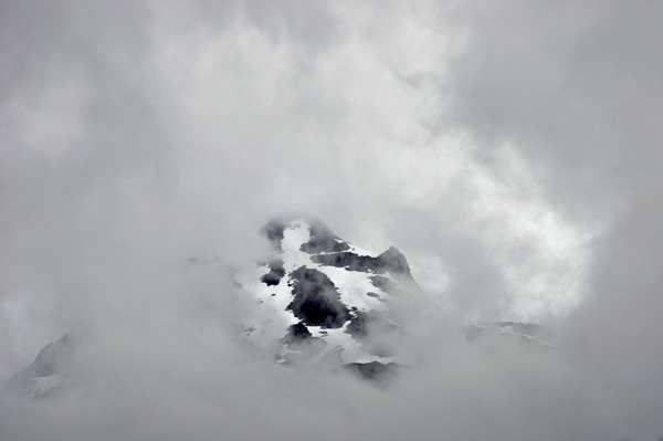
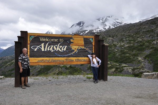
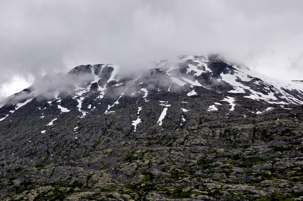
Below: Mile 14.7 "Welcome
to Alaska" sign with large parking area on the left - it makes
a super photo stop, with the White Pass and Sawtooth Mountains in the
background. |
|
|
|
|
|
|
|
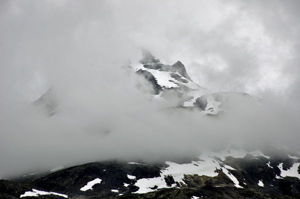
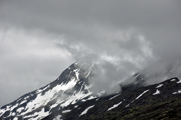
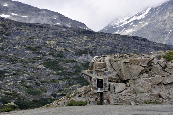
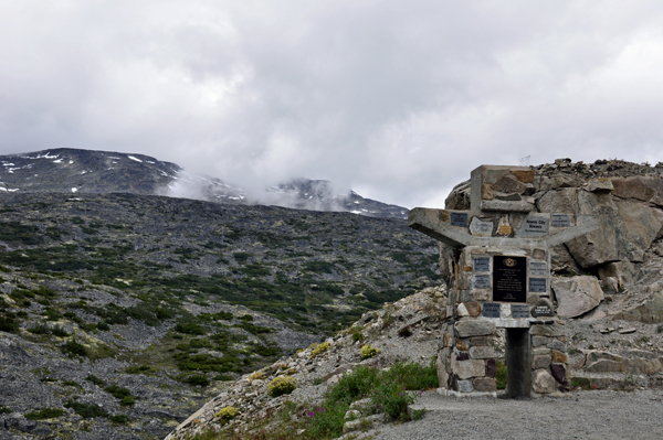
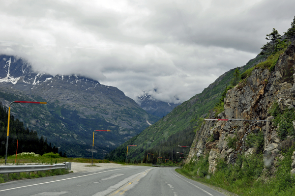
Below: Mile 14.4
The summit of the White Pass, 3,292 feet. The summit of the main arm
of the White Pass, through which the railway runs, is 2,865 feet. |
|
|
|
|
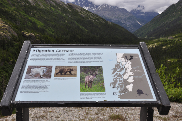
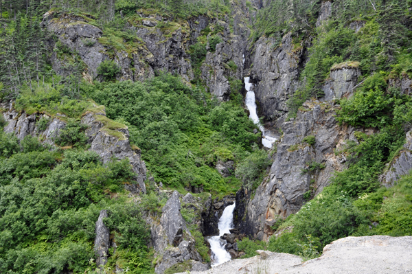
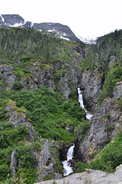
Below: Migration Corner
and information signs |
|
|
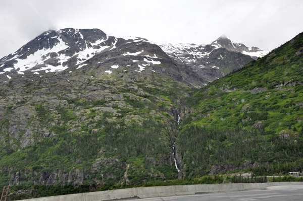
Below: A waterfall and bridge
at Migration Corner |
|
|
|
|
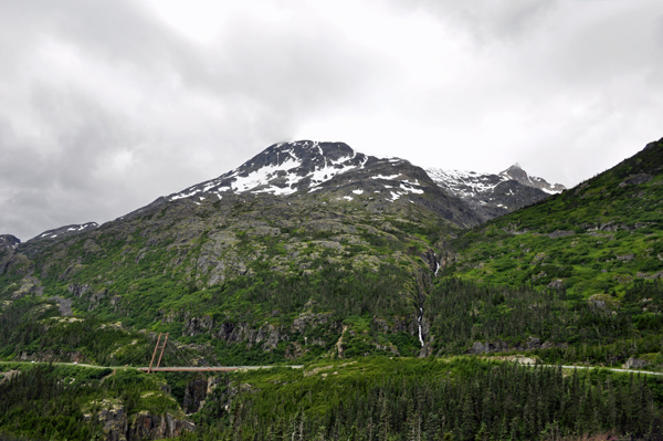
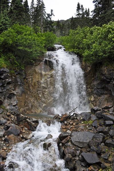
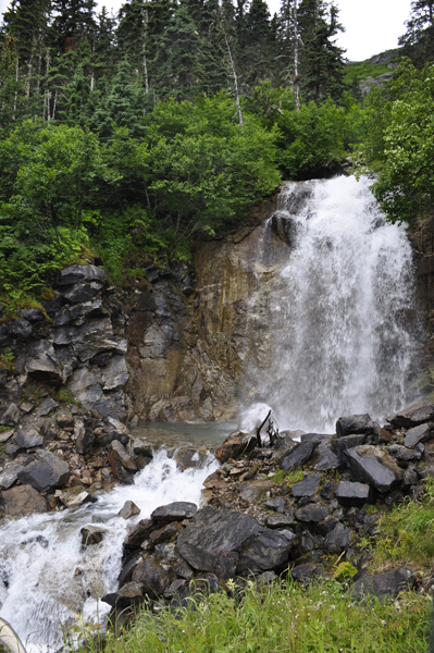
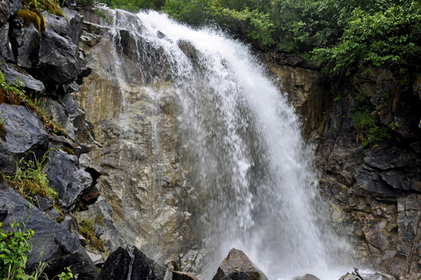
Below: Mile 10.0
On the left is a particularly nice and accessible waterfall with a large
paved parking area. The water is pure enough to drink. This waterfall
is sometimes called Bridal Veil Falls. It is easy to drive
by it without noticing it. |
|
|
|
|
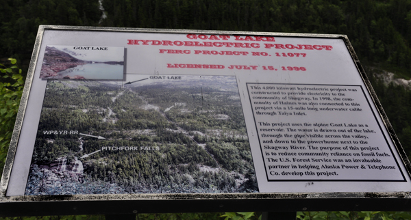
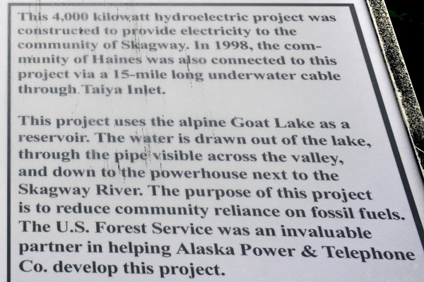
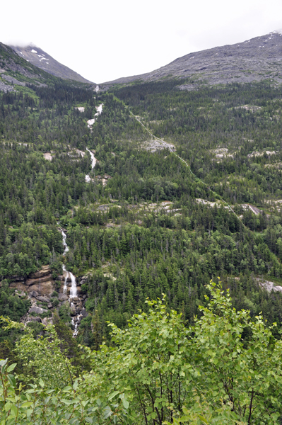
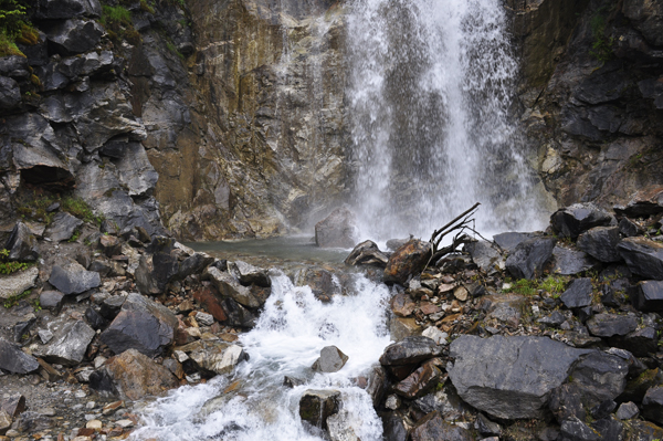
Below: Mile 7.7
Turnout with a great view of Pitchfork Falls, which flows out of Goat
Lake. This is one of the most photographed falls on the highway. The
construction of a hydro-electric operation in 1999 has led to it being
known by many locals as "Pipeline Falls." It tumbles down the
mountain from Goat Lake, under the railroad tracks, and down to the
Skagway River Gorge. |
 |
 |
 |
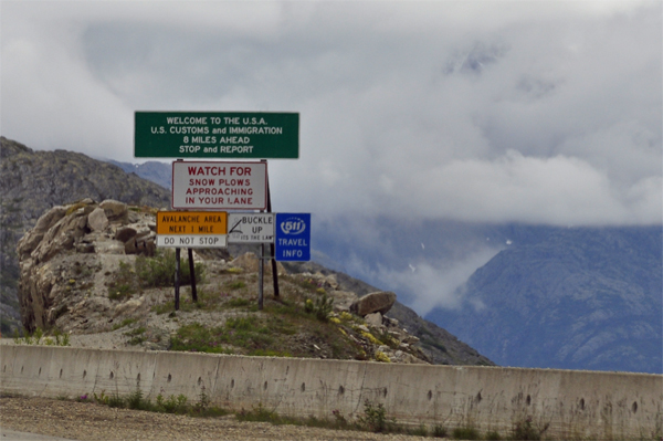
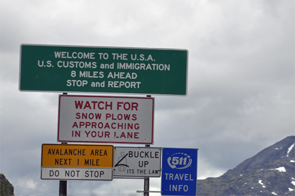
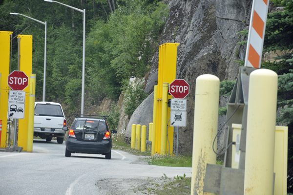
Below: Mile 6.8
U.S. Customs. All southbound vehicles (heading into Skagway) must stop
and report at the Customs post, which is open 24 hours a day through
the summer. This is a very efficient post and delays of more than 10
minutes are uncommon. The two RV Gypsies had no troubles here and passed
through this custom area quickly. |
|
|
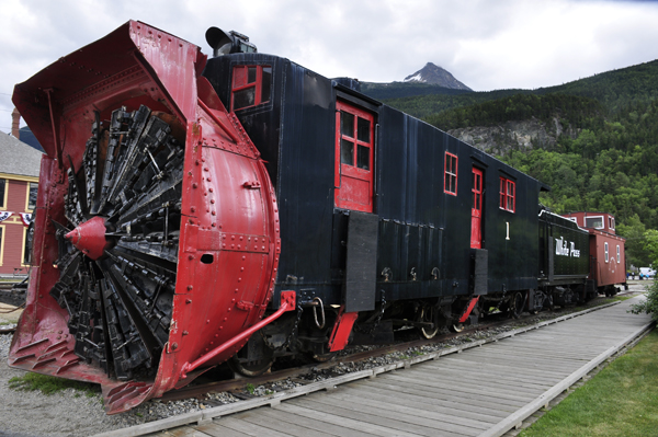
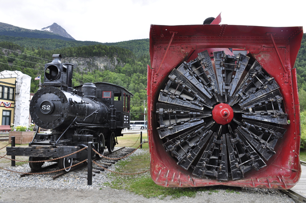
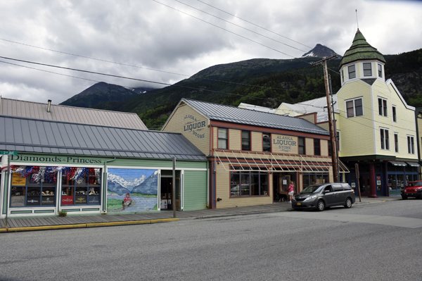
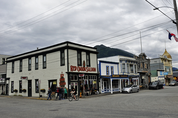
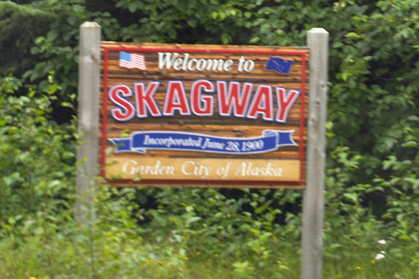
Below: Skagway is protected
as Klondike Gold Rush National Historic Park and looks the part of an
authentic gold rush town. Skagway comes from a Tlingit word Skagua,
meaning "windy place." |
|
|
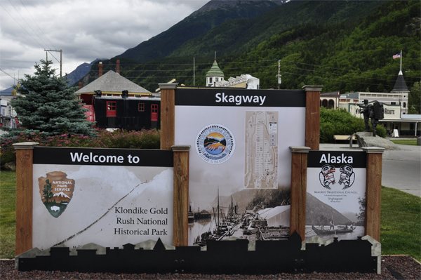
Below: Mile "0": Skagway
Ferry Dock
- To get through town, you can either go up Broadway through the historic district, or if it's busy, turn left at the first set of stores, go one block and then right at the sign seen above on the right, which is State Street. There is ample parking along State Street so you can explore the shops and historic sites in town, and/or take one of the free walking tours conducted by the National Park Service.
- One of the 2 gas stations in town is on the right as soon as you make this turn (at State and 2nd). There is also a small convenience store and self-serve laundry there.
- The grocery store is another 2 blocks up on State Street, on the left, and the other gas station is 1 block to the left at 4th and Main.
- Watch your speed very carefully in Skagway - the police do. It's 25 mph to the bridge across the Skagway River, then 35 mph to the start of the climb up the White Pass. |
|
|
|
|
 |
 |
 |
 |
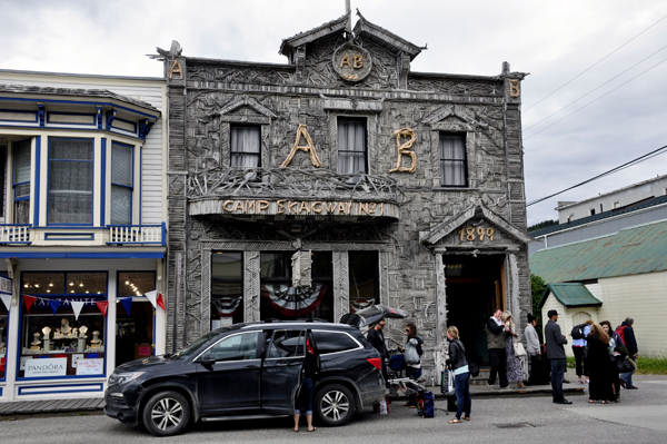
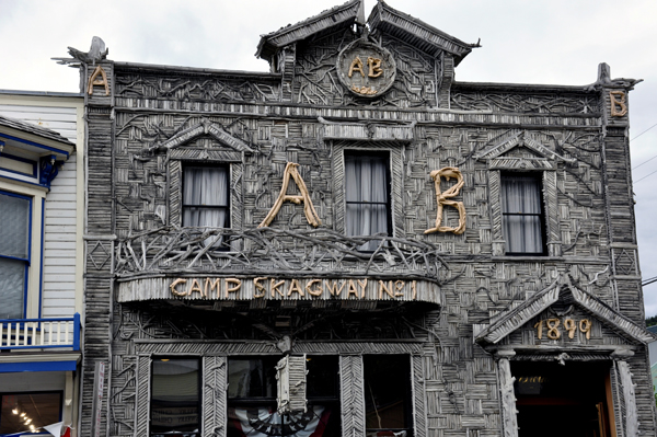
Below: Karen Duquette just
loved the design of the Camp Skagway building (Arctic Brotherhood Hall
) in downtown Skagway. Some brochures claim that the Arctic Brotherhood
Hall is perhaps the most photographed building in Alaska. In times past,
it was a fraternal hall. the local chapter of the Brotherhood first
met her in August 1899.
The facade, which dates from 1990, has been called a prime example of Victorian Rustic architecture. Over 8,000 driftwood sticks were collected on the shores of Skagway Bay and nailed to the front wall. In the winter of 2004-2005, all 8,883 pieces of driftwood were removed. 40% (3,533) had rotted and were replaced and the other 60% (5,300) were preserved. The building is currently home of the Skagway Visitor Information Center. |
 |
 |
 |
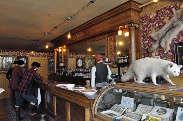
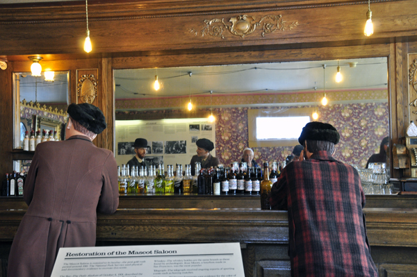
Below: Mascot Saloon in downtown
Skagway - (notice Lee Duquette in the mirror below as he took the photo) |
 |
 |
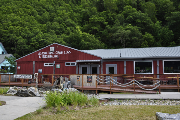
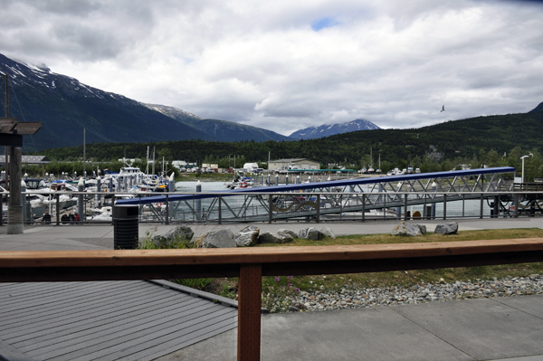
Below: The two RV Gypsies ate at the Alaska King Crab Legs Restaurant and sat on the outside porch for a nice view. The service and food was only fair. |
 |
 |
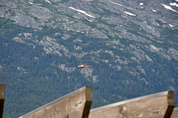
Below: A helicopter passing by |
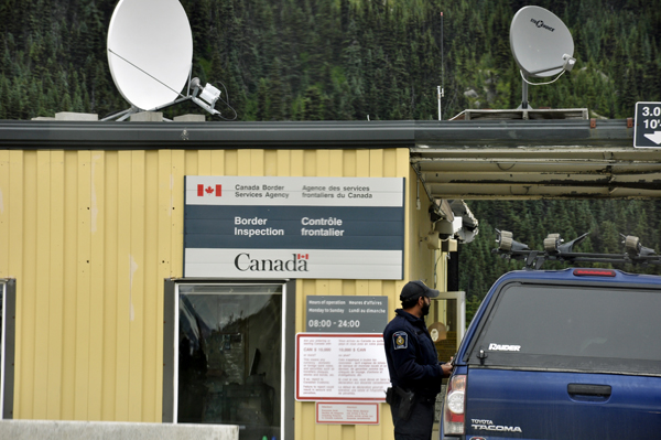
Below: Custom border leaving Skagway |
 |
 |


 On July 4th, The two RV Gypsies returned to Takhini Hot Springs (page
already linked previously) then on July 5, it was back to Whitehorse
where they toured the
On July 4th, The two RV Gypsies returned to Takhini Hot Springs (page
already linked previously) then on July 5, it was back to Whitehorse
where they toured the