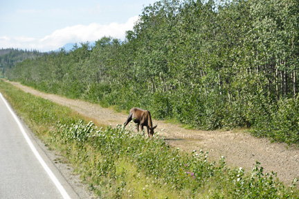
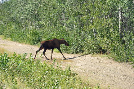
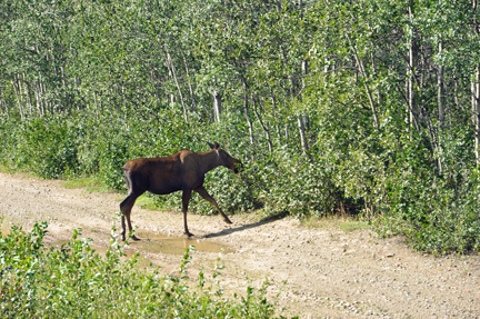
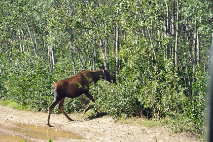
While
driving, Lee and Karen Duquette saw another moose by the side of the road |
|
|
|
|
|
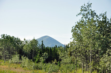
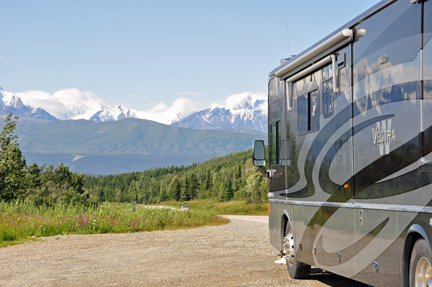
Lee Duquette drove
south on the Richardson Highway about 23 miles from Delta Junction to
the vicinity of Donnelly Dome (originally called Delta Dome).
It is a popular climbing adventure - the top is about 2,400 feet above
actual ground level, with an elevation of 3,910 feet. The Dome is an unusual
feature of terrain called a fleigbert ("mountain overridden by ice").
 Natives
claim that the first snow on Donnelly Dome means snow in Delta Junction
within 2 weeks. No snow was seen at this time, thank goodness. Natives
claim that the first snow on Donnelly Dome means snow in Delta Junction
within 2 weeks. No snow was seen at this time, thank goodness.
|
|
|
|
|
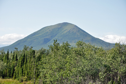
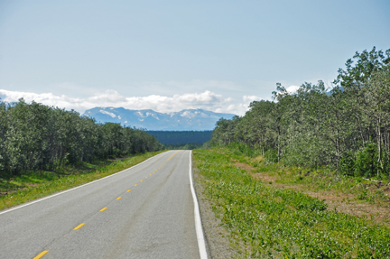
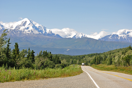
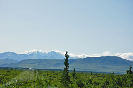
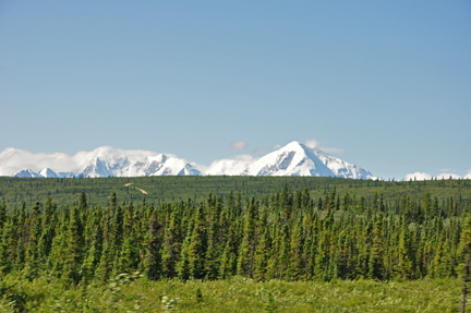
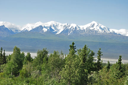
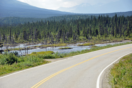
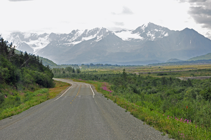
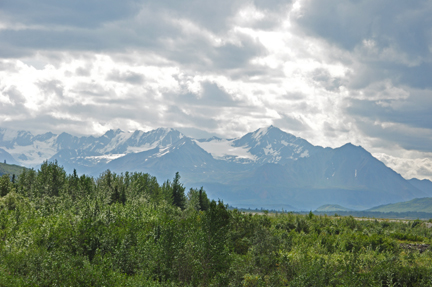
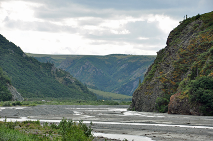
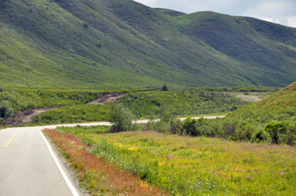
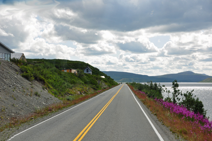
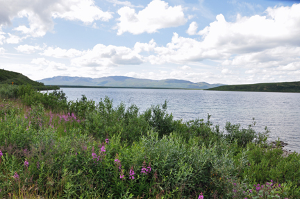
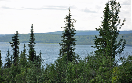
| Below: The drive
south also presented a picturesque rural setting complimented by spectacular
views of the Alaska Range and the Delta River. Clear days allow stunning
views of Mt. Hayes, Mt. Moffit and a number of other peaks, lakes, and creeks. |
|
|
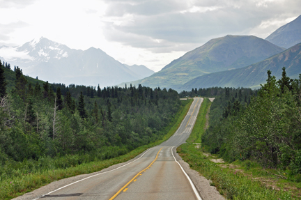
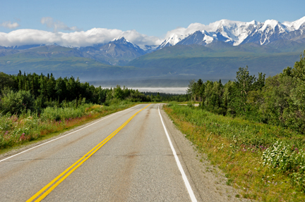
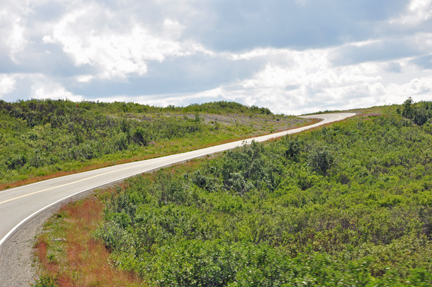
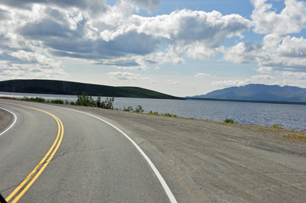
| Below;
Notice the big dips in the road - very common. The
Richardson Highway is a wide paved highway in fair-to-good condition,
with some sections of frost heaves and patched pavement.
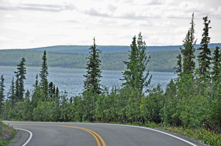
On the majority of roads in Alaska, Lee and Karen Duquette were able to
see the road for many miles ahead. |
|
|
Below: Frost heaves and
patched pavement |
|
|
|
|
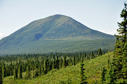
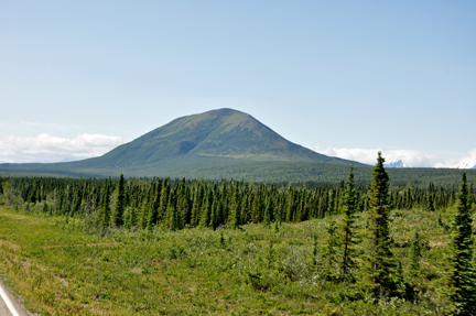
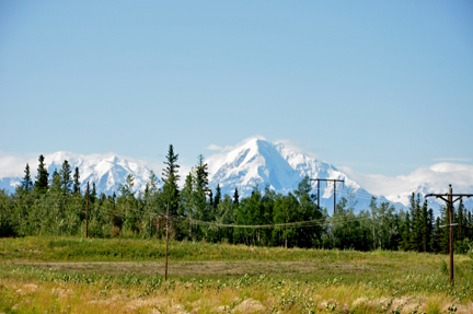
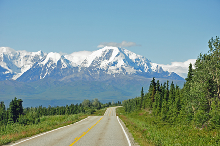
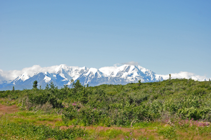
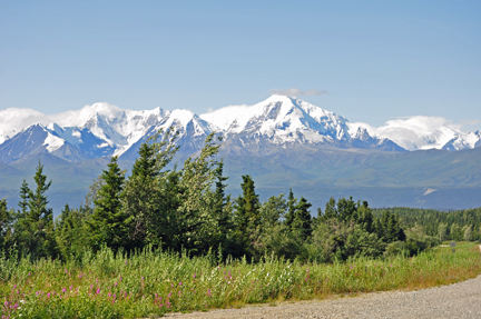
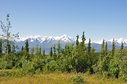
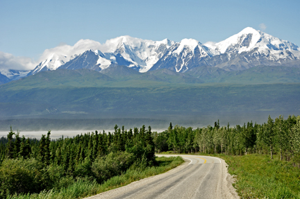
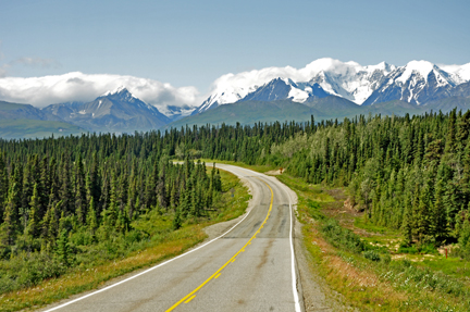
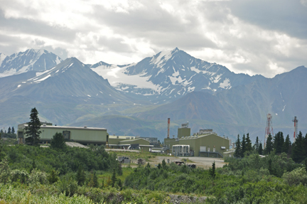
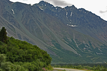
Below: Various mountains
in the Alaska Range - very beautiful scenery |
|
|
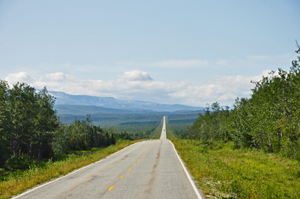
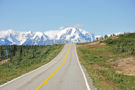
 It looks like the road
just explodes into the mountain It looks like the road
just explodes into the mountain |
|
|
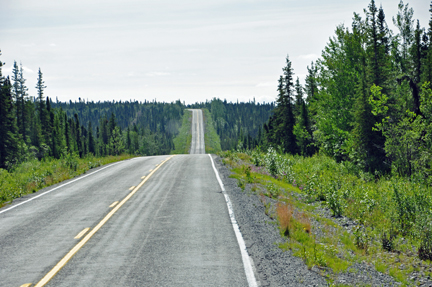
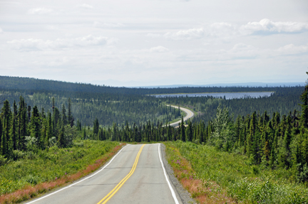
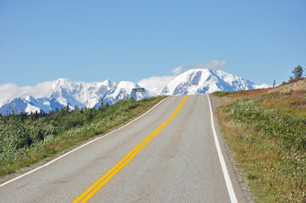
| Below: Looking out
the side window of the RV, Karen Duquette saw the same road for many miles
ahead, because it weaved and curved so often. |
|
|
|
|
|
|
|
|
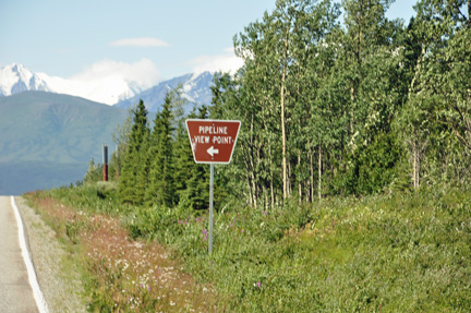
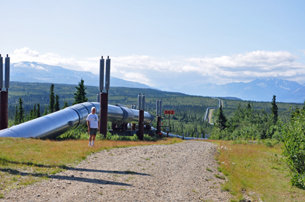
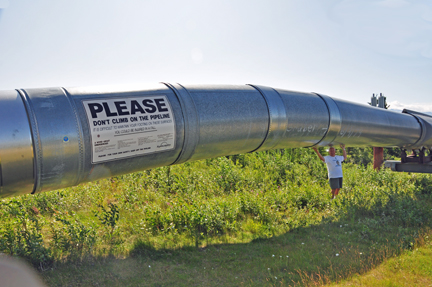
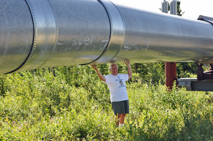
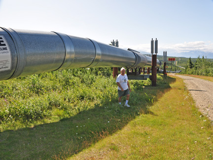
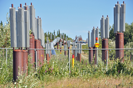
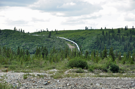
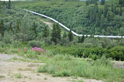
Below: Along the way, there
were many spots where Lee and Karen Duquette saw the Alaska pipeline again.
|
|
|
|
|
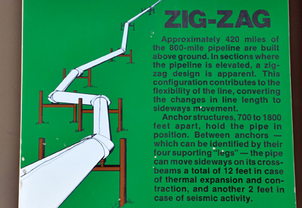
Below: The zig-zag of the
Alaska pipeline could be seen for many miles ahead. |
|
|
|
|
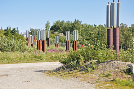
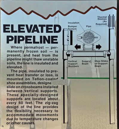
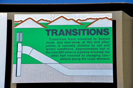
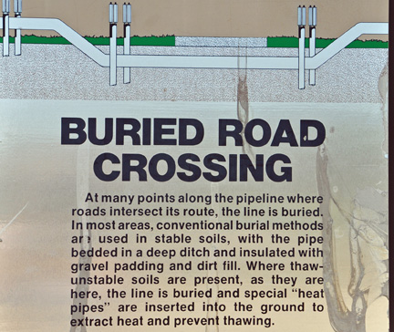
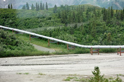
| Below: Because of
the varying soil conditions along its route, the pipeline is both above
and below the ground. Where the warm oil would cause icy soil to thaw and
erode, the pipeline goes above ground, Where the frozen ground is mostly
well-drained gravel or rocks and thawing is not a problem the pipeline is
underground. |
|
|
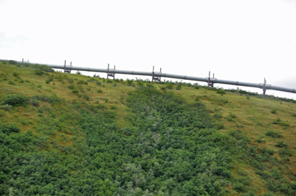
Below: The pipeline went
into the ground once again. |
|
|
|
|
|
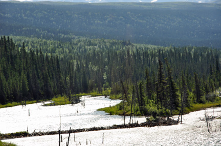
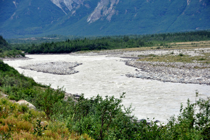
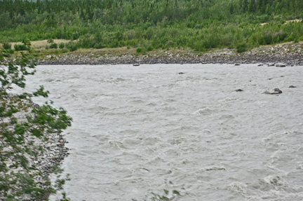
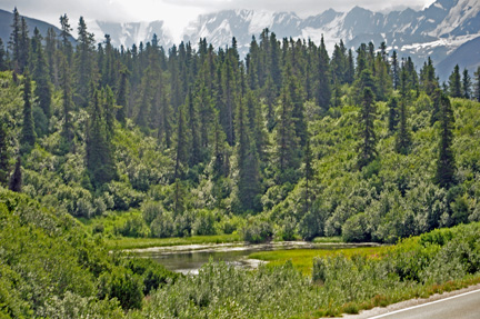
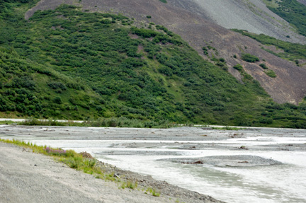
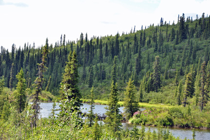
Below: The braided Delta
River, Darling Creek, and Gunny Sack Creek |
|
|
|
|
|
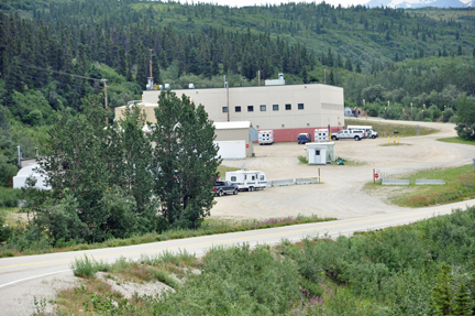
Below:
Black Rapids U.S. Army Training Site at Fall Creek |
|
|
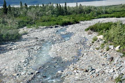
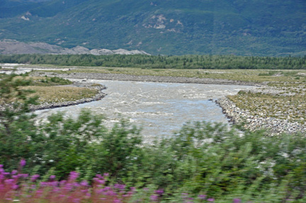
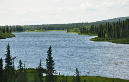
Below: A view of The Delta
River |
|
|
| Below: Black
Rapids Glacier - a retreating glacier with little ice visible. This
glacier was nicknamed the Galloping Glacier when it advanced more
than 3 miles during the winter of 1936-1937. |
|
|
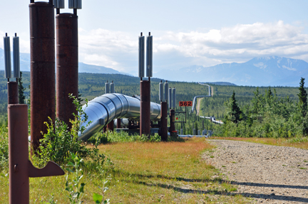
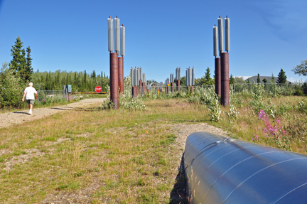
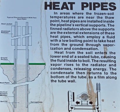
Pump
Station #10 - the pipeline has an earthquake detection
system. Ground accelerometers at pump stations measure earth movement
and computers identify critical supports, valves and other items to check
after a quake. The pipeline's design was tested in November 2002 by a
7.9 earthquake. |
|
|
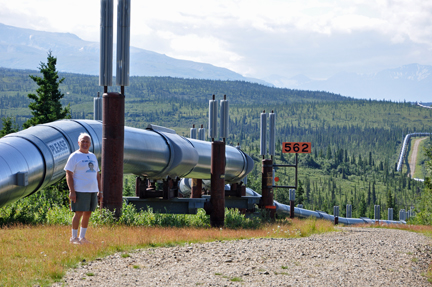
Below: As Lee and
Karen Duquette rolled along the highway in their RV, more glimpses of the
Alaska Pipeline came into view. The pipeline occasionally went underground,
but soon would re-surface again. |
|
|
|
|
|
|
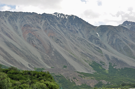
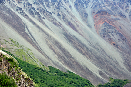
Below: Rainbow Ridge and Rainbow Mountain - this 6,000-foot-high
ridge extends north-west 8 miles from McCallum Creek. The highest point
on the ridge is 6,700-foot Rainbow Mountain. The mountain and ridge were
named for their varicolored talus slopes. The reds and greens are volcanic
rock; the yellows and pastels are siltstone and sandstone. |
|
|
|
|
|
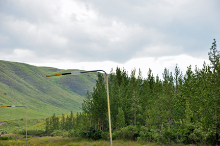
Below: Snow poles along the highway guide snowplows
in winter |
|
|
|
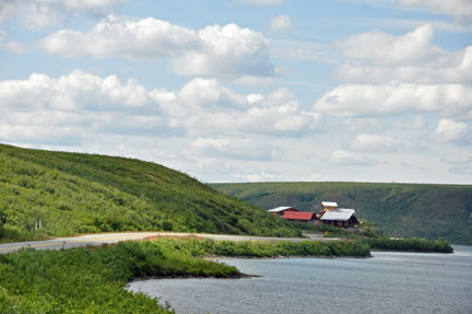
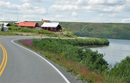
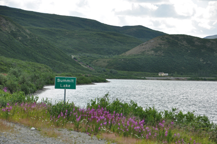
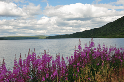
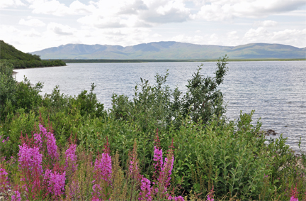
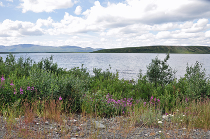
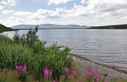
Below: Summit Lake |
|
|
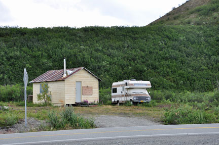
Below: Water Edge Cottages
at Summit Lake |
|
|
|
|
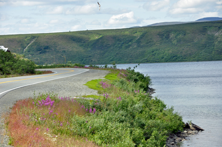
Below: Fireweed. The willow ptarmigan is Alaska’s
state bird and the mosquito is NOT. Also, the forget-me-not is the state
flower and not the far more ubiquitous fireweed. The fireweed so commonly
seen in Alaska — Chamerion angustifolium — proliferates during
summer, aggressively erupting in open spaces before cottoning in the turn
toward fall. While summer visitors will almost surely see fireweed, they
will likely not come across any wild forget-me-not. As such, they’re
often surprised to learn fireweed is not the state flower of Alaska. Some
natives told Karen Duquette that when the fireweed no longer has blooms
on it, winter is close behind. |
|
|
|
|
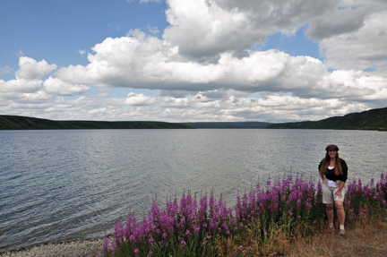
| Below: Summit Lake
was just so beautiful with the fireweed wildflowers, that Lee and Karen
Duquette decided to stop and have lunch. So while Lee Duquette was preparing
lunch inside the RV, Karen went crazy photographing the lake. |
|
|
|
|
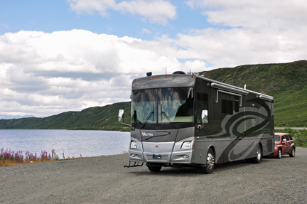
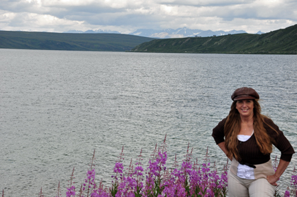
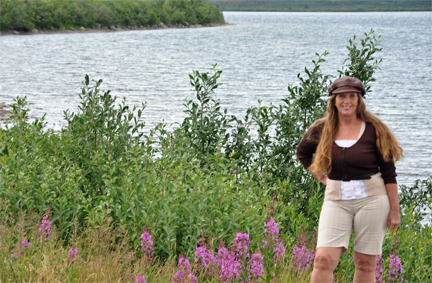
Below: After lunch, Lee
Duquette took a few photos of Karen Duquette by Summit Lake |
|
|
|
|
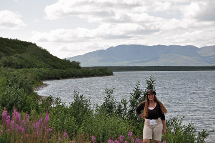
Below: These photos
were taken through a closed window of the moving RV - as are many, if not
most, of the photos on this page and so many places on this website. (The
RV window was not designed to open). Therefore, much of the beauty of the
scenery is not evident in some photos. Alaska has so much breathtaking scenery. |
|
|
|
|
|
|
| Lee Duquette
has previously driven on other parts of the Richardson Highway and those
photos are included within previous sections of this website. The photos
above were strictly photos taken between Delta Junction and Glennallen. |
 please
continue on to
please
continue on to 


