Lee and Karen Duquette took a day
trip from Virginia into West Virginia
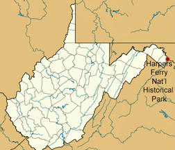
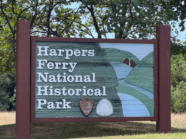
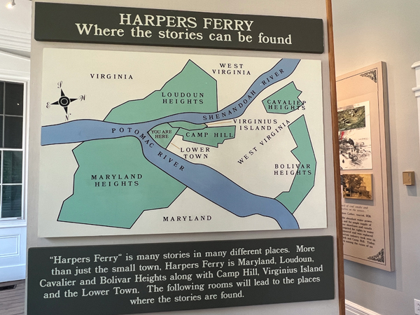
and learned some history at Harpers Ferry National Historical Park
171 Shore Lane, Harpers Ferry, WV 25425
July 14, 2023
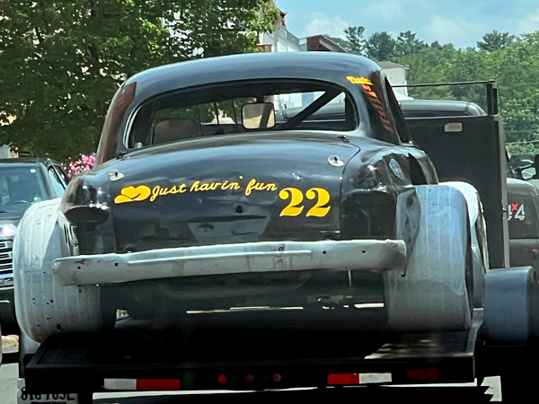
Below: Entering West Virginia, Karen Duquette saw an older car being towed and liked the quote on the back of it, so she snapped a photo. It is just basic travel entertainment to snap photos along the way.
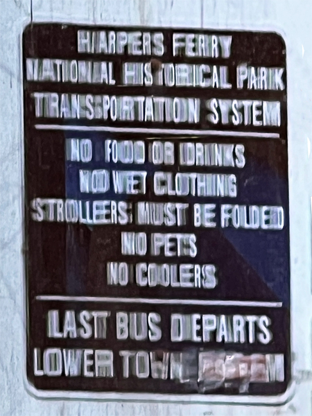
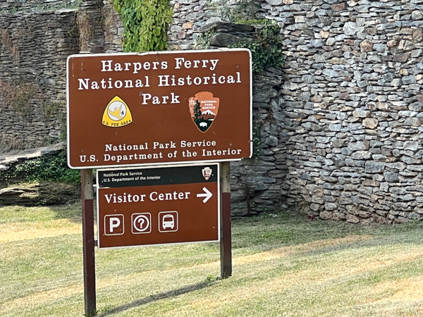
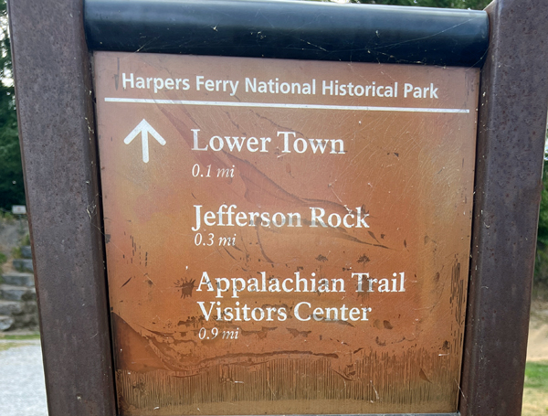
Everyone must park in specified parking lots and take a bus in and out of the area. The park closes at 5 p.m. The main parking lot at Harpers Ferry National Historical Park is located at 171 Shoreline Drive, Harpers Ferry, WV 25425 and can accommodate several hundred vehicles. At this location is also the park’s Visitor Center and starting point for the shuttle bus service to Lower Town. *NOTE: pets are not allowed on park shuttle buses or in park buildings.*
While other parking does exist in Harpers Ferry National Historical Park, it is extremely limited. It is strongly recommended that visitors who plan to explore museums and exhibits or are hiking a trail that begins in Lower Town use the main parking lot and shuttle bus. Doing so reduces vehicle congestion in Lower Town and provides for pedestrian safety.
*NOTE: If you pay to park in the metered street parking maintained and monitored by the town of Harpers Ferry, and you visit the park, you are still responsible for additionally paying the park entrance fee.*
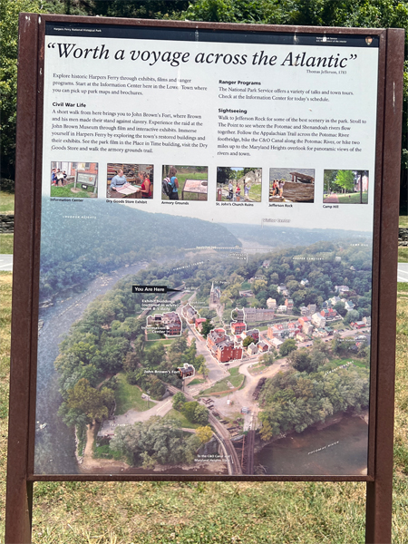
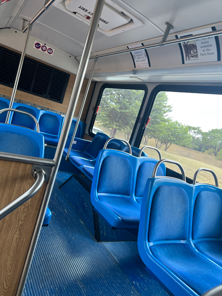
Below: The shuttle bus took the two RV Gypsies from the Visitor Center to the Lower Town district of the park. Riding the bus is included in the park entrance fee, which is paid at the Visitor Center. The shuttle bus runs every 10 - 15 minutes every day that the park is open. Pets are not permitted on the park shuttle busses.
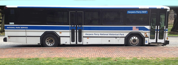
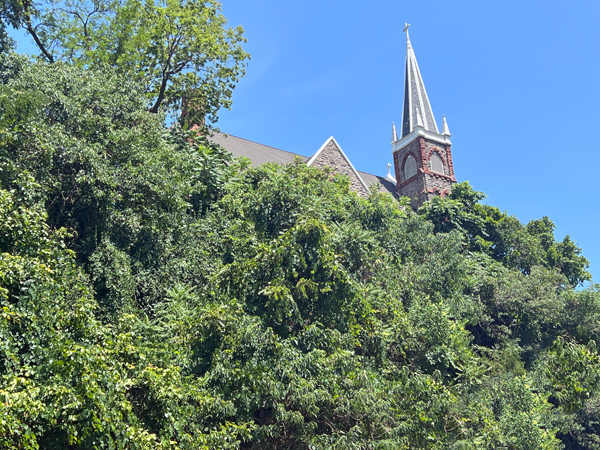
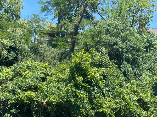
The bus photos shown above and below was taken from the internet (thus the fall colors). But Karen Duquette took a photo of St. Peter's Catholic Church steeple that is shown above the bus in the below photo and the photo she took is posted on this website.
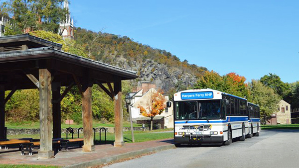
Below: As the two RV Gypsies exited the bus, Karen Duquette looked UP and took a couple of photos. The top of the St. Peter's Catholic Church steeple shown in Karen's photo below on the left can also be seen above the bus in the above photo from the internet. There was also a house up there.
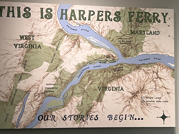
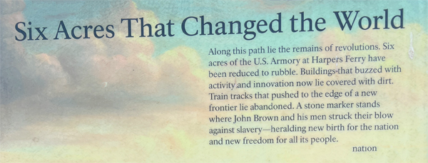
 Harpers
Ferry National Historical Park, originally Harpers Ferry National Monument,
is located at the confluence of the Potomac and Shenandoah rivers in and
around Harpers Ferry, West Virginia. The park includes the historic center
of Harpers Ferry, notable as a key 19th-century industrial area and as
the scene of John Brown's failed abolitionist uprising. It contains the
most visited historic site in the state of West Virginia, John Brown's
Fort.
Harpers
Ferry National Historical Park, originally Harpers Ferry National Monument,
is located at the confluence of the Potomac and Shenandoah rivers in and
around Harpers Ferry, West Virginia. The park includes the historic center
of Harpers Ferry, notable as a key 19th-century industrial area and as
the scene of John Brown's failed abolitionist uprising. It contains the
most visited historic site in the state of West Virginia, John Brown's
Fort.
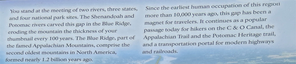
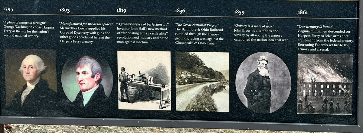
The park includes land in the Shenandoah Valley in Jefferson County, West Virginia; Washington County, Maryland and London County, Virginia. The park is managed by the National Park Service, an agency of the U.S. Department of the Interior. Originally designated Harpers Ferry National Monument in 1944, the park was declared a National Historical Park by the U.S. Congress in 1963. Consisting of almost 4,000 acres, it includes the site of which Thomas Jefferson once wrote, "The passage of the Potomac through the Blue Ridge is perhaps one of the most stupendous scenes in Nature" after visiting the area in 1783.
Due to a mixture of historical events and ample recreational opportunities, all within 50 miles of Washington, D.C., the park was listed on the National Register of Historic Places on October 15, 1966. In 2017, the Park's Superintendent was Tyrone Brandy burg.
The park was originally planned as a memorial to John Brown, responsible for what is by far the most famous incident in Harpers Ferry's history, his 1859 raid and capture of the federal armory. NPS officials in the 1930s focused on John Brown's raid and the Civil War to justify acquiring parts of Harpers Ferry for a historical and military park. Like the figure of John Brown himself, this proved enormously controversial, with opposition from white supremacist organizations such as the United Daughters of the Confederacy and the Sons of Confederate Veterans.
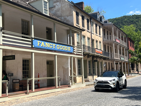
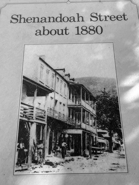
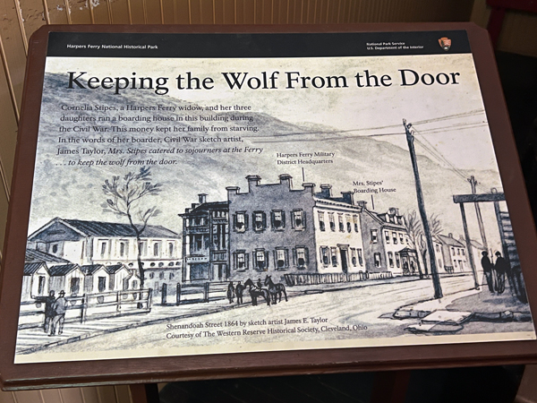
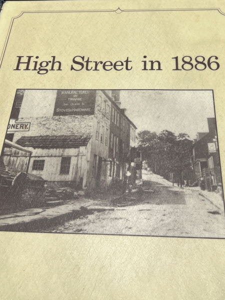
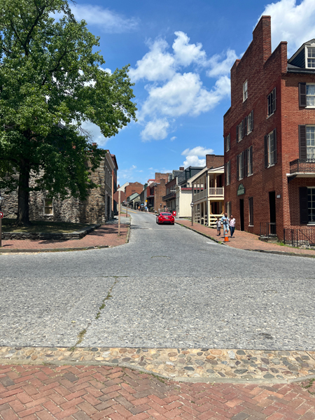
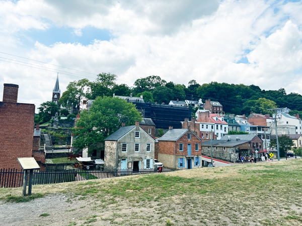
Below: Lee and Karen Duquette began their walking tour along Shenandoah Street, which is full of history. The Lower Town has about four street blocks lined with museums and exhibits that now occupy restored 19th century buildings. Many street signs help show the "now" and the "then" changes.
Yes, a few cars were driving around, but they could not park anyplace except designated parking lots.
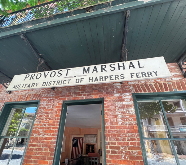
Harpers Ferry changed hands 8 times during the Civil War. Most of the time the town was under Union control. The Provost Marshal regulated military and civilian life and could jail, punish and execute offenders. Below is the Provost Marshal's Office on High Street.
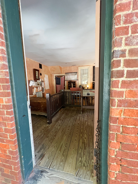
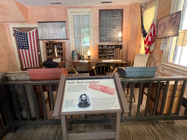
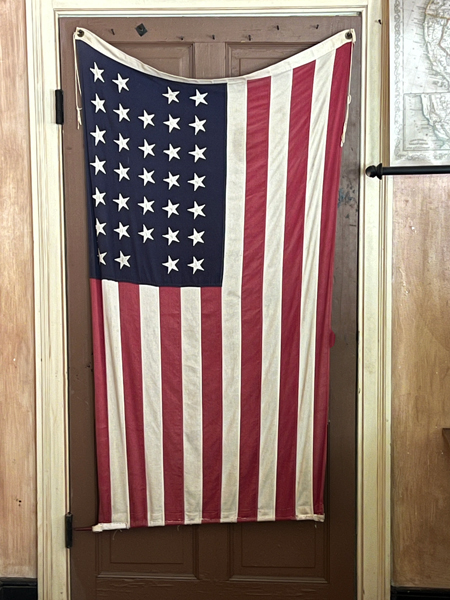
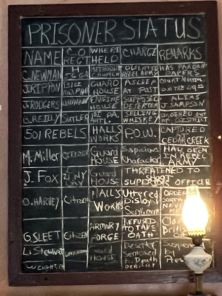
Below: A USA flag and chalk board sign inside the Provost Marshal's office shown above.
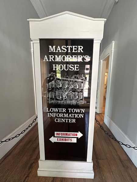
Below: The Master Amore's House - NOTE: There is an accessible entrance located on the left side of the building toward the back of the building, which of course, Lee and Karen Duquette did not need.
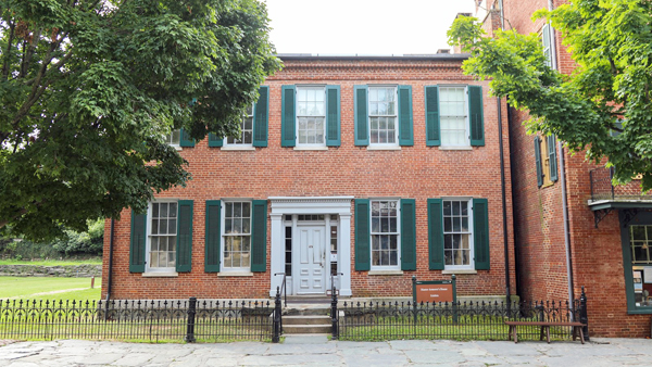
The
strategic location of the Master Armoire's House made it ideal for the
headquarters of the commanding officer at Harpers Ferry. The Master Armorer's
House is at the junction of Shenandoah and High Streets only one block
from the Baltimore & Ohio (B&O) Railroad Bridge and the Potomac
River pontoon crossing. The Master Armorer's House was easy to find and
a nerve center for communications during the Civil War.
Completed just before the John Brown Raid in 1859, the Master Armorer's
House was one of the newest buildings in Harpers Ferry at the outbreak
of the Civil War.
The most famous general who stayed in the Master Armorer's House was Union
Lt. Gen. Ulysses S. Grant. Grant only spent one night in the house, on
September 16, 1864, when returning from a strategy meeting in Charles
Town with his Shenandoah Valley commander, Maj. Gen. Philip H. Sheridan.
During Grant's stay, the building was the headquarters of Union Brig.
Gen. John D. Stevenson. Stevenson commanded the Military District of Harpers
Ferry along with managing Sheridan's logistics operations during the 1864
Valley Campaign. Stevenson was known to control Harpers Ferry, and the
surrounding region, with a "hard-hand" of martial law. Stevenson
also combated Confederate guerillas; he even entrapped John Mobberly,
his nemesis, and killed him just before the end of the war. Stevenson
also displayed Mobberly's corpse at the Master Armorer's House, as a reminder
of the war's ruthlessness.
Union commander Col. Dixon S. Miles, who opposed Stonewall Jackson
during the Battle of Harpers Ferry on
September 12-15, 1862, also used the Master Armorer's House as his headquarters.
Miles was mortally wounded during the battle, and died here on September
16.
Below: There were a lot of interesting, historical maps, signs and exhibits on the walls of The Master Armorer's House. But there were a lot of people in the building, so Karen Duquette was unable to get photos of the interior. However, she did get pictures of things on the walls.

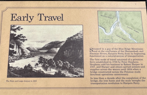
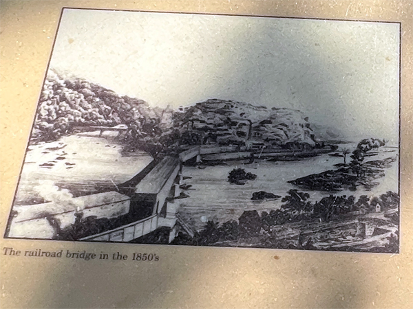
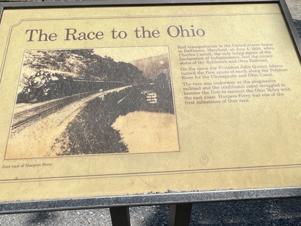
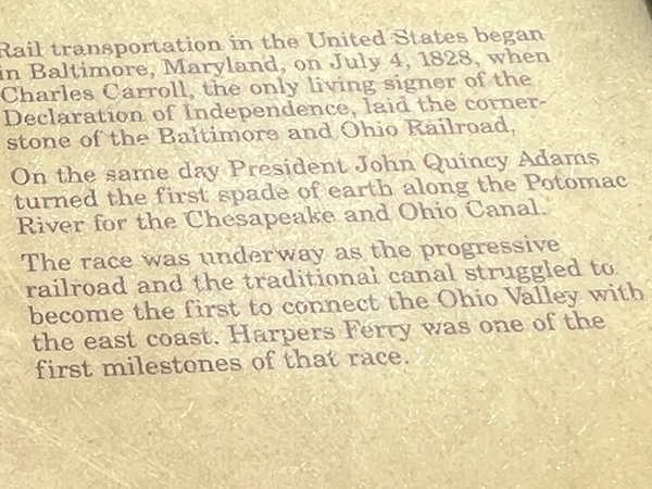
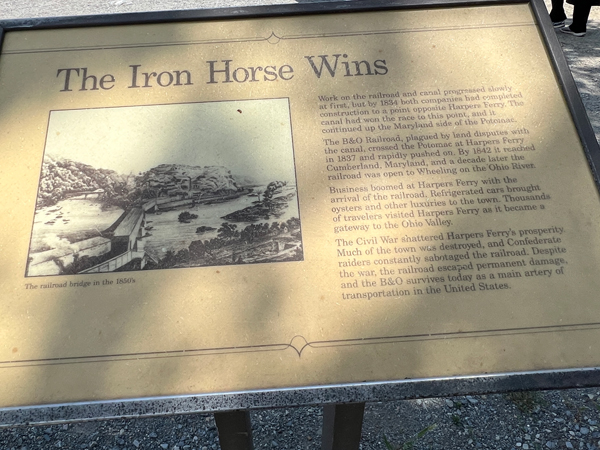
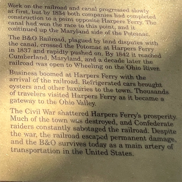
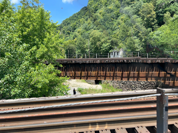
Below: Leaving the historical building, Lee and Karen Duquette continued on in the town and approached The Potomac Railroad Bridge at Harpers Ferry. Hopefully, double photos of signs help viewers read the signs better.
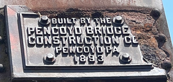
Below: The Potomac Railroad Bridge at Harpers Ferry
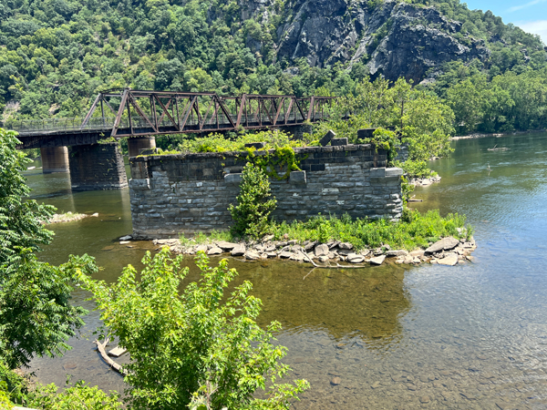
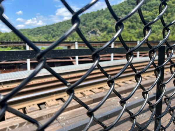
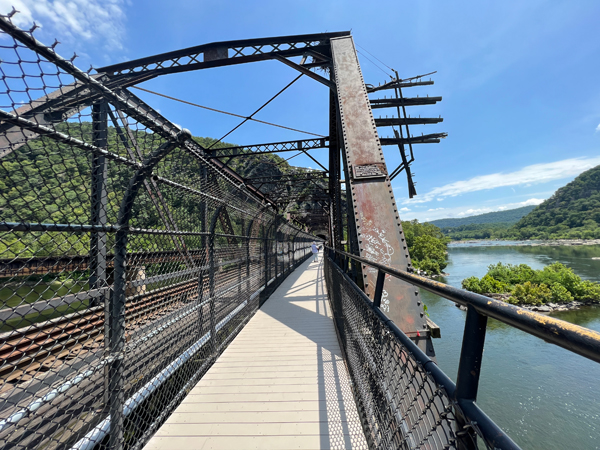
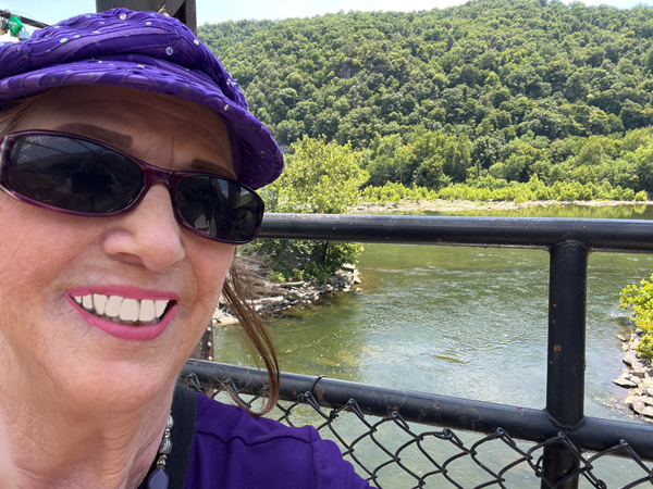
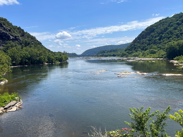
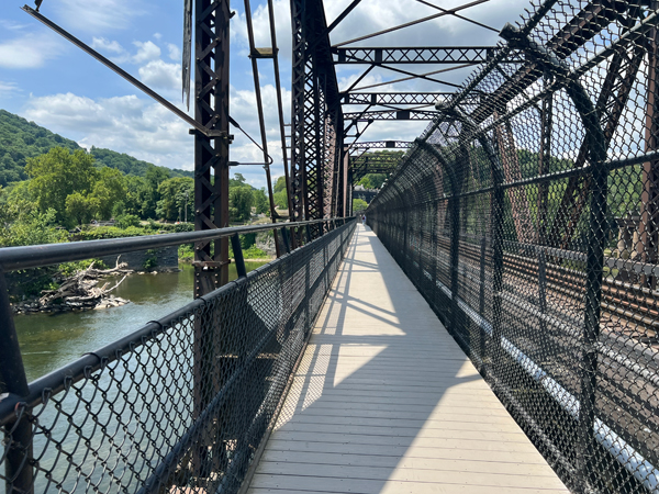
Below: Then Lee and Karen Duquette walked across the Potomac Railroad Bridge at Harpers Ferry and Karen took photos of the Shenandoah River. Railroad tracks were behind a chain link fence on the left side of the bridge, but the right side of the bridge provided scenic views.
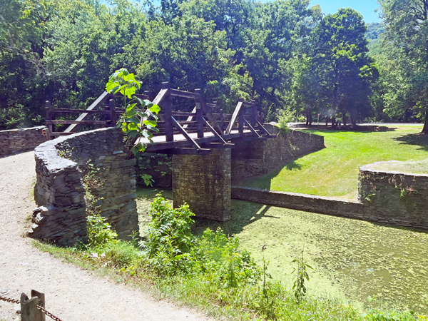
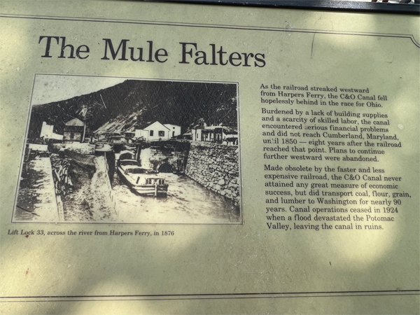
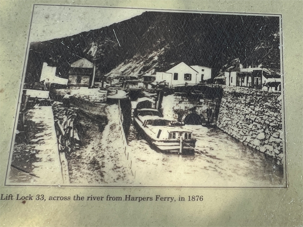
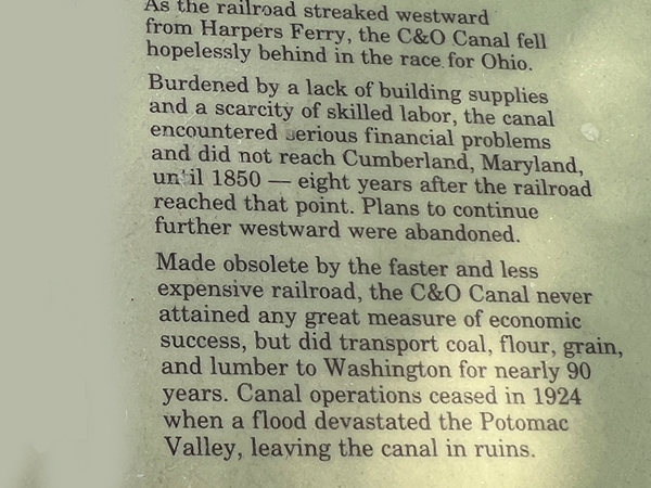
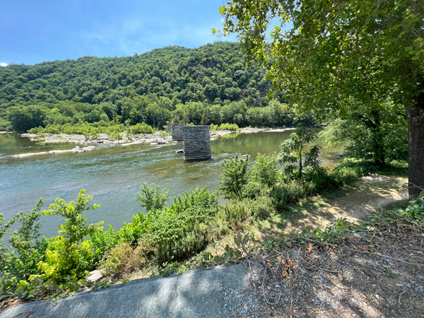
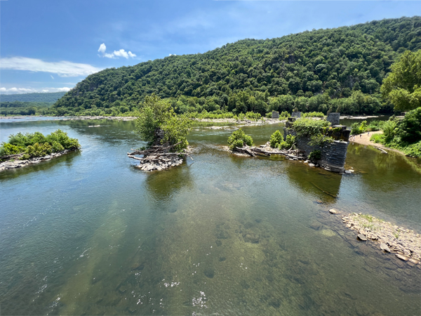
Below: Karen Duquette enjoyed views of the canal, which operated from 1828 to 1924 and provided a vital waterway link with areas up and downstream prior to and during the early years after the arrival of the railroad.
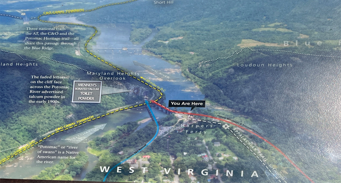
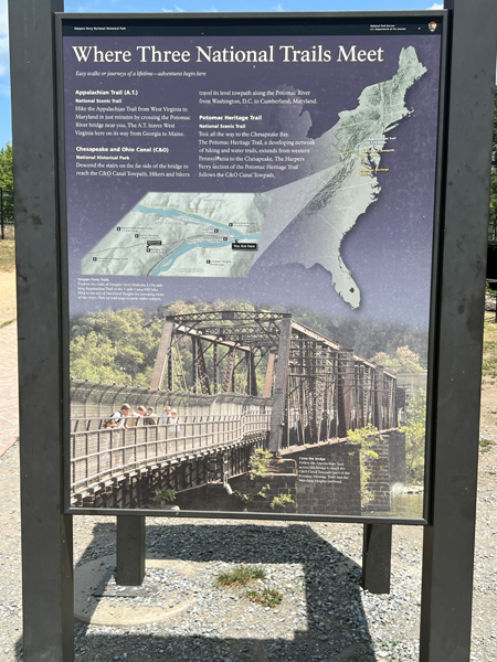
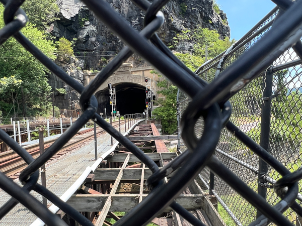
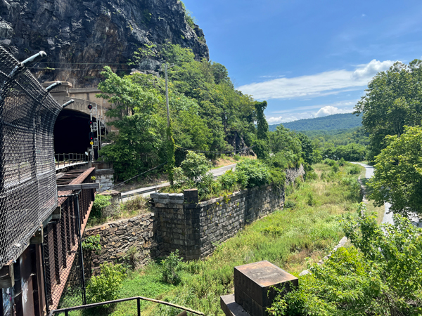
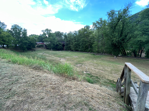
Below: Approaching the tunnel, everyone had to either turn around or go down some stairs so they could walk under the bridge and do some hiking via the canal towpath and park, which provide access to the Maryland Heights section of the Harpers Ferry National Historical Park - The two RV Gypsies chose not to hike on this date.
The canal towpath and park provides access to the Maryland Heights section of the Harpers Ferry NATIONAL HISTORICAL PARK and can be accessed by foot from this footbridge that was constructed by the National Park Service, or via car by traveling east from Harpers Ferry on U.S. Route 340 to access points near Sandy Hook, Maryland.
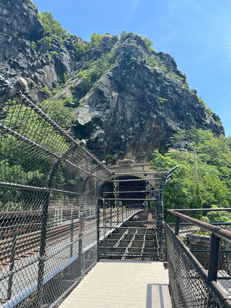
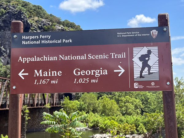
Below: (The photo below on the left was actually posted at the beginning of the bridge walk, but Karen Duquette posted it here to show what the length of the hiking trails).
Lee Duquette did not want to hike, so the photo below on the right shows
a person who did want to hike as he walked down below to the left of the
bridge.
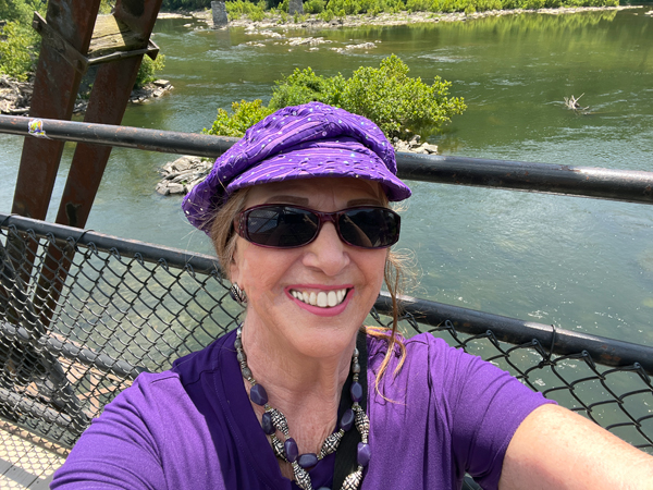
Below: Then Karen Duquette took a picture of the bridge on the return trip since nobody was on the bridge at that time. Obviously it is the return trip because now the railroad tracks appear to be on the right.
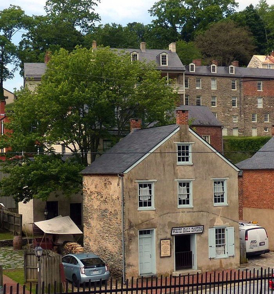
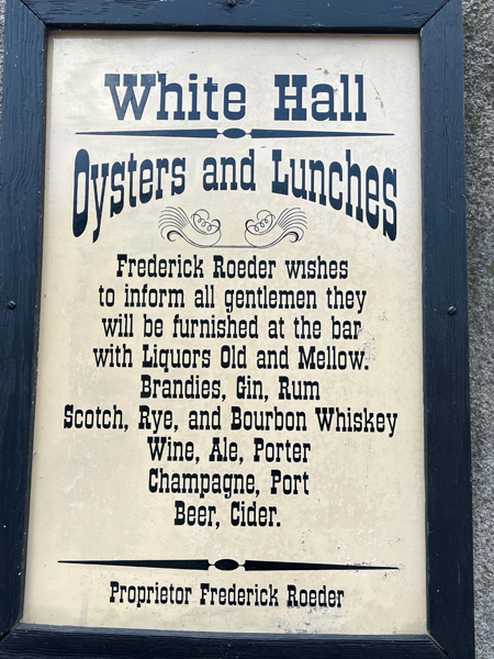
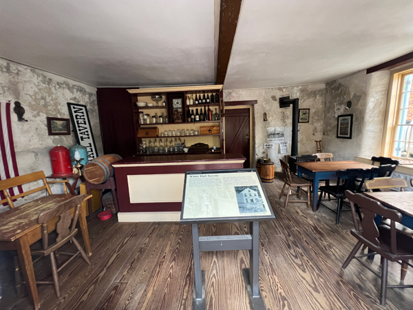
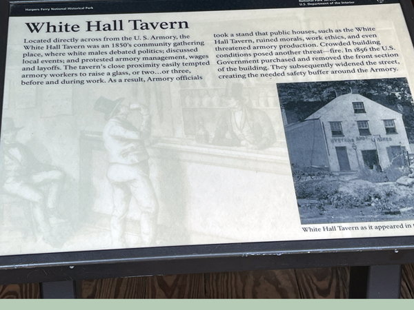
Below: The White Hall Tavern - visitors can look inside, but could not go inside.
Below: It was time for Lee Duquette to buy some ice cream and relax.
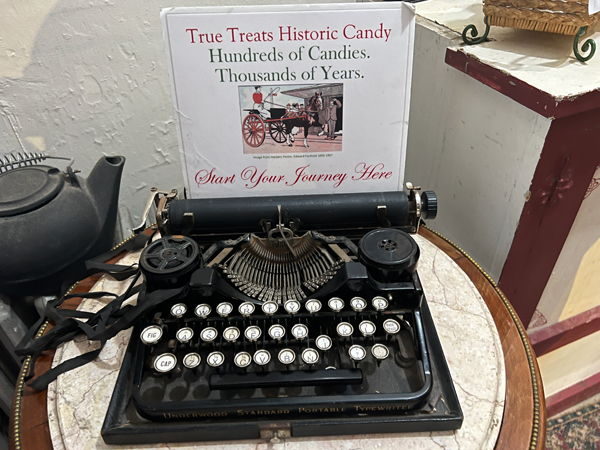
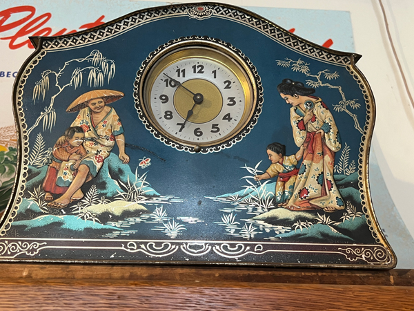
Below: Then Lee and Karen Duquette walked up a steep hill to view several stores. Karen photographed a few Historic Items that caught her attention in one of the stores. Karen actually remembers her mom having a typewriter that looked like the one shown below.