Lee
and Karen Duquette,
The Two RV Gypsies visited
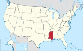
Arkabutla Lake and Dam plus Sardis Lake and Dam
in Mississippi
October 18, 2022
|
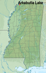  |
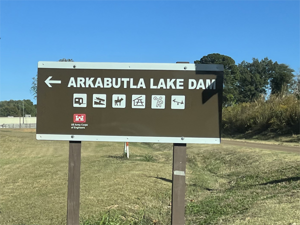
Below: Arkabutla Lake is located
at 3905 Arkabutla Dam Road, Coldwater, MS 38618. It is a reservoir on
the Coldwater River in the U.S. state of Mississippi and was created
following the construction of the Arkabutla Dam in 1940 on the Coldwater
River. |
 |
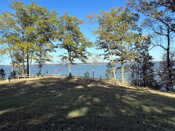
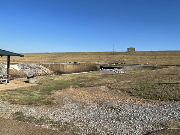
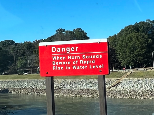
Below: The Arkabutla Lake
project includes 57,250 acres of land and water. The Lake accommodates
a wide variety of recreational interest and activities throughout the
entire year, but is renowned for some of the best fishing in the southeast
and boasting an abundance of largemouth and white bass, while ranked
as one of the Top 5 Crappie Fishing Lakes in America. Since Lee and Karen Duquette are not fishermen but love scenery, they stopped at a picnic
area along the waterfront of Lake Arkabutla. |
 |
 |
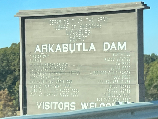
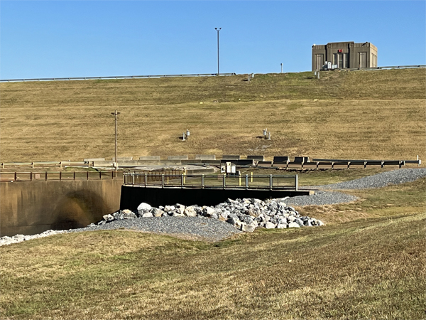
Below: The dam is located
on Arkabutla Dam Road (Mississippi Highway 301/Mississippi Highway 304
Scenic) approximately 4 miles north of the small community of Arkabutla.
It is one of four Flood Damage Reduction reservoirs in northern Mississippi,
with the others being Sardis, Enid and Grenada lakes. |
|
|
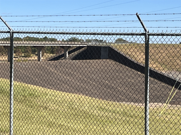
The Arkabutla Dam is 11,500 feet long
with an average height of 67 feet. |
 |
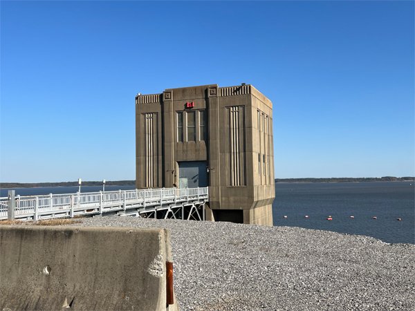 |
Lee and Karen Duquette drove
over the dam, then went to the parking area shown below. |
 |
 |
 |
 |
SARDIS LAKE |
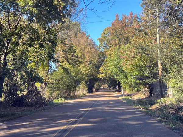
Leaving Coldwater, Lee Duquette
drove about 41 miles to Sardis Lake, a 98,520-acre reservoir on the
Tallahatchie River in Lafayette, Panola, and Marshall counties, Mississippi.
Sardis Lake is impounded by Sardis Dam, located nine miles southeast
of the town of Sardis. |
|
|
|
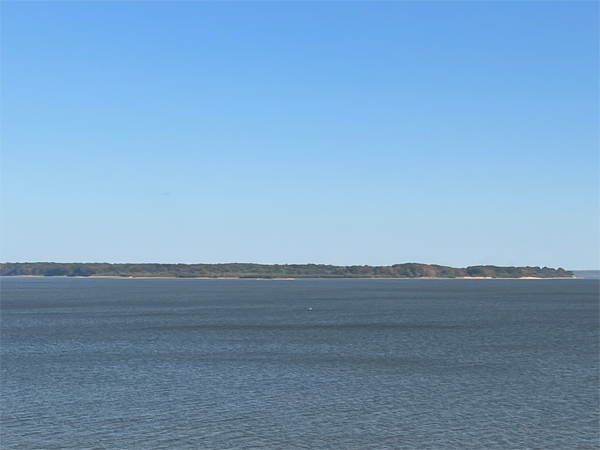
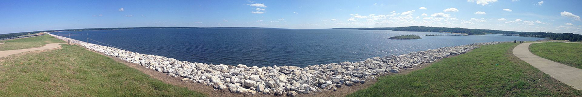
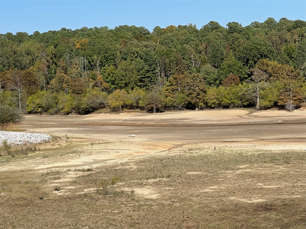
Below: A view of Sardis
Lake from the top of Sardis Dam. The lake has a maximum storage capacity
of 1,512,000 acre-feet of water. The lake is gradually drawn down during
the fall and winter months to a "conservation pool" of 9,800
acres. This permits spring rains across the lake's 1,545 square mile
watershed to fill the reservoir without flooding downstream. Since the
dam became operational, the dam's emergency spillway has been overtopped
only three times by high water - in 1973, 1983 and 1991. The lake's
typical "recreation pool" is 32,500 acres. The main fish that
live in the lake are Largemouth bass, Spotted bass, Blue catfish, Channel
catfish, Flathead catfish, Black crappie, White crappie, Bluegill, Redear
sunfish and White bass.
|
| Note: Some quotes and the photo
shown below on this page are from https://en.wikipedia.org/wiki/Sardis_Lake_(Mississippi)
|
 |
Below: Sardis Dam is 15,300 feet long,
has an average height of 97 feet and a maximum height of 117 feet. |
 |

 Continue on to


