Lee
and Karen Duquette, |
||
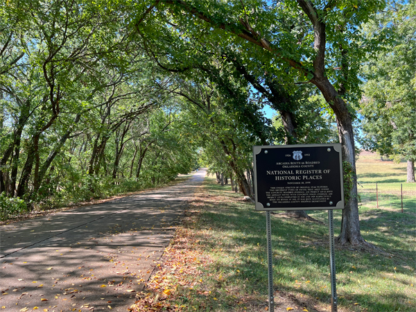
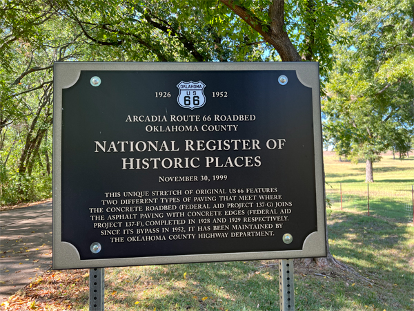
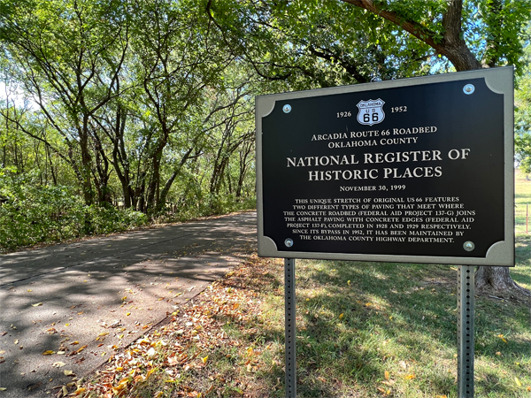
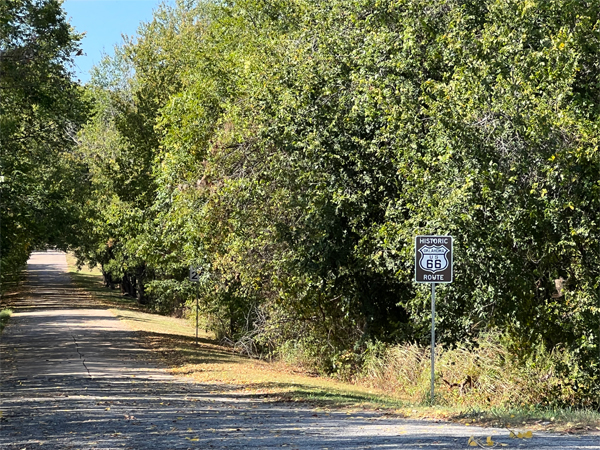
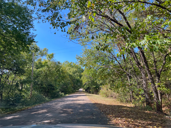
In 1922 the road entering Arcadia from the east became OK Hwy 7, and in 1922 was still an unpaved road. But four years later, the U.S. government created Route 66 using OK Hwy 7 (from Miami Oklahoma to Oklahoma City), and suddenly this section near Arcadia became part of Route 66. Below is an original segment of Route 66 built in 1926, paved in 1928 and 29, and part of the Mother Road until 1952, when it was bypassed. There are two markers, one at each tip of the segment, both pictured below at the beginning and the end of the road segment, which Lee Duquette drove. |
||
 |
 |
|
 |
|
|
It is an "S" shaped segment of road only 0.9 miles long but it has a long history.In the days before Route 66 was created, the only highway
"network" in the area was the "Ozark Trails" system.
It began as a private organization that promoted better roads and prompted
counties, towns and states to help build them.
|
||
 |
 |
|
 |
 |
|
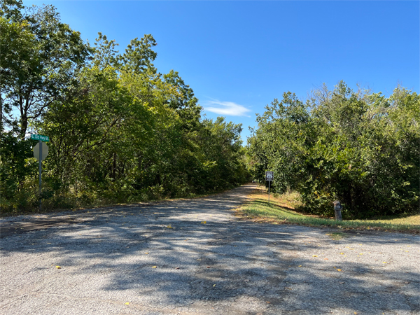
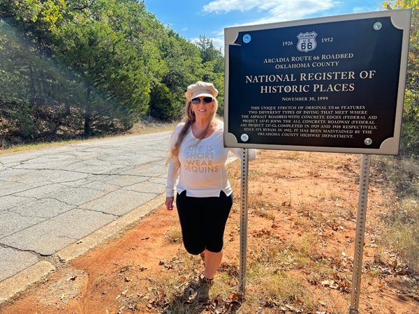
Below: After driving the "S" shaped segment of road that is only 0.9 miles long, Karen Duquette got out of the car to pose with the sign. |
||
 |
||
NOTE: Lee and Karen Duquette, the two RV Gypsies, have also driven other parts of the Originial Route 66 Road in other states. The road starts and stops at many places. 85% remains driveable. It cannot be driven from Chicago to Santa Monica because parts of the road have been replaced or destroyed over the years. The driveable parts are labeled "Historical Route 66". The ones that the two RV Gypsies have driven on can be see by clicking here, and SCROLLING DOWN to Route 66. |
||
 |
This is not a linear site, so there are always choices of where to go next: Below are 2 choices, plus the main navigational buttons for this very large website. |
|

ORContinue Navigation in the order of your choice |
|||||

|
|||||
 |
 |
 |
 |
 |
 |
 |
 |
 |
 |
 |
 |
 |
 |
 |
 |
 |
 |
 |
 |
 |
 |
 |
 |