Lee
and Karen Duquette,
The Two RV Gypsies
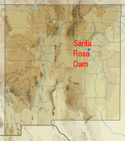
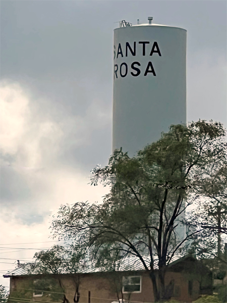
at Santa Rosa State Park - the lake and the dam
2528 Joe and Louie Page Road
Santa Rosa NM 88435
October 7, 2022
|
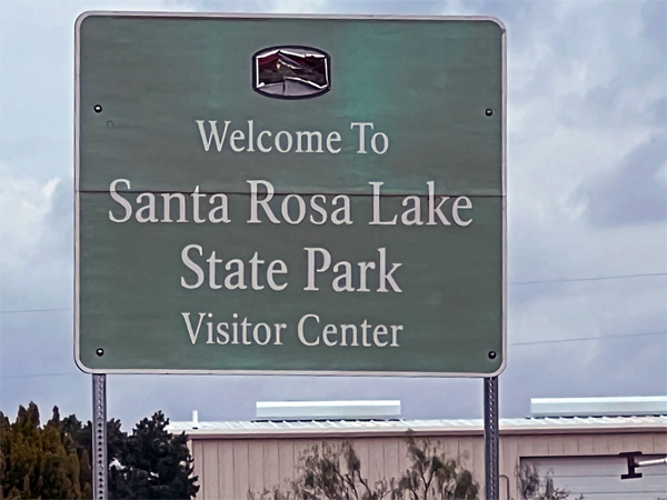
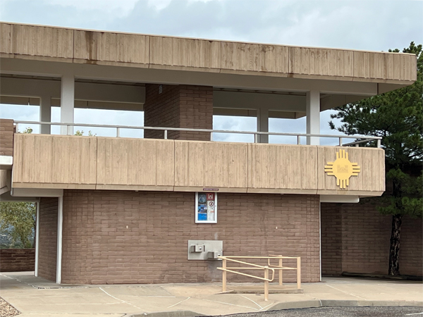
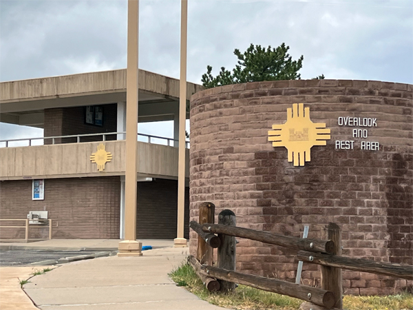
The Visitor Center
was closed on the date that Lee and Karen Duquette were here, but they still
enjoyed The Santa Rosa Dam and Lake area. |
 |
 |
 |
 |
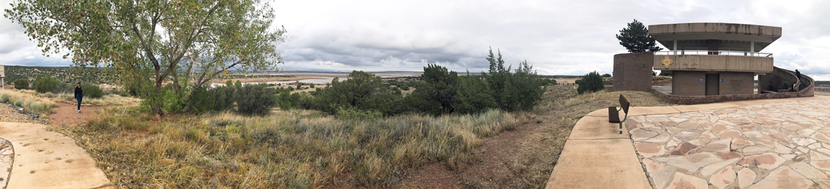
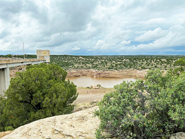
Below: Panorama approaching
the Overlook Area |
 |
 |
 |
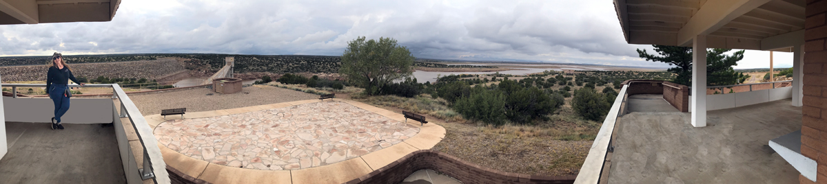
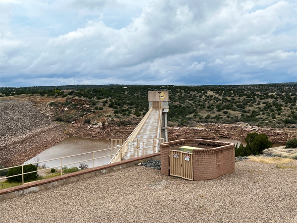
Below: Panorama and Karen Duquette
on the viewing platform of the Overlook Area shown above. |
 |
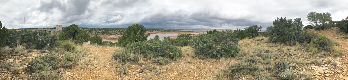
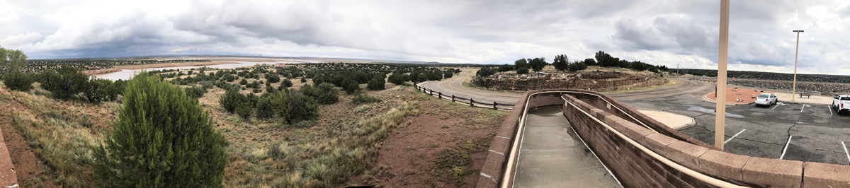
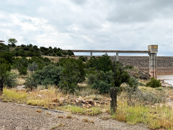
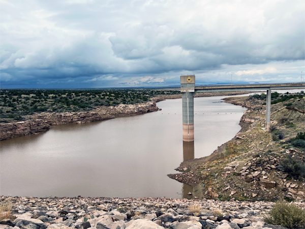
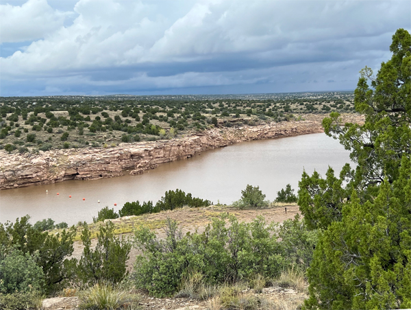
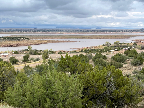
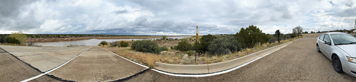
Below: Panorama of the Dam
and Lake from the platform shown above. |
| |
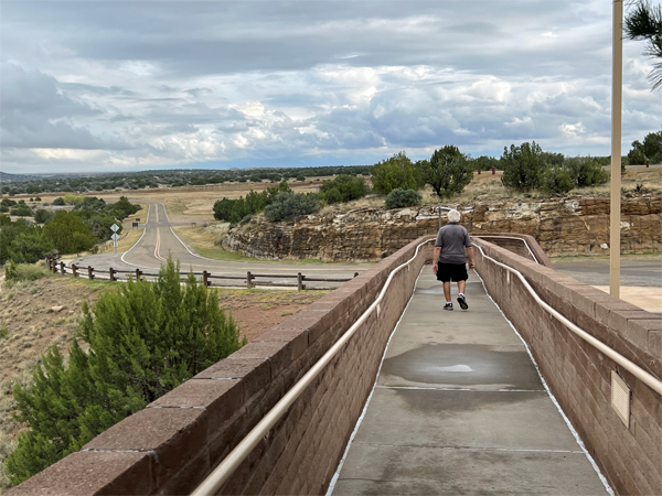
Below: View Leaving the viewing
platform |
 |
 |
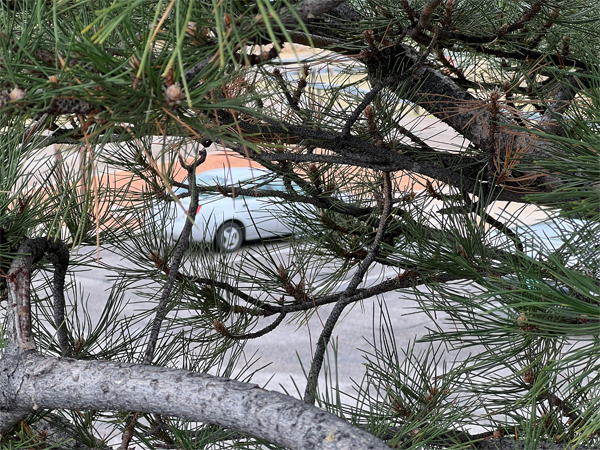
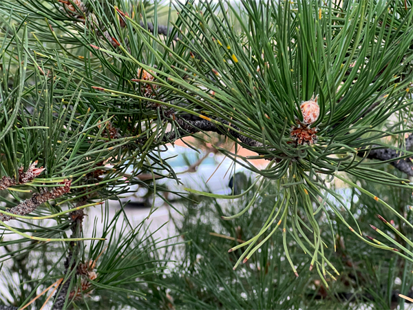
Below: As Karen Duquette was
walking behind Lee Duquette (see the above photo) she took a couple
of pictures of their tow car through the trees. |
 |
 |
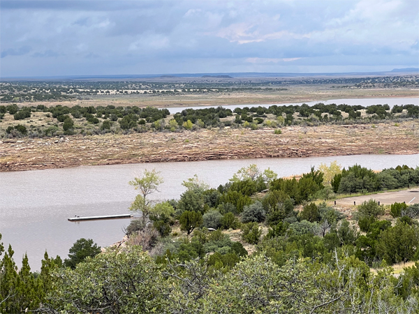
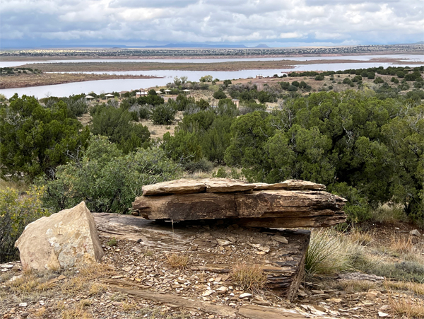
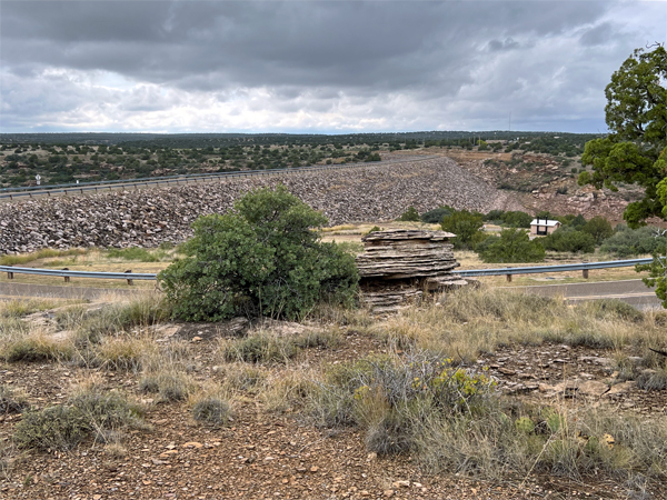
Below: Various views of the
Dam and Lake |
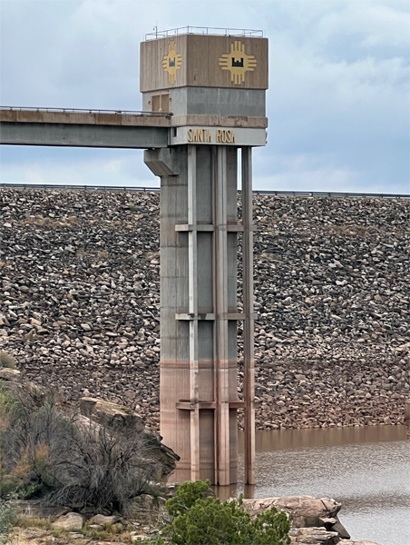
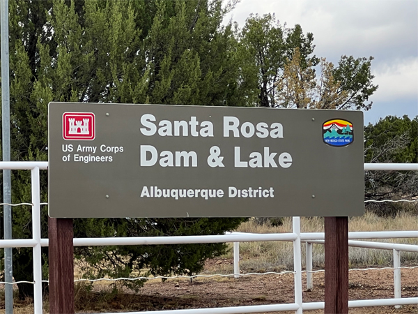
Santa Rosa Dam (National ID
# NM00158) is a dam in Guadalupe County, New Mexico.
The earthen dam was constructed by the United States Army Corps of
Engineers, with a height of 214 feet and 1900 feet long at its crest.
The uppermost major dam along the Pecos River, it serves for irrigation
water storage and flood control. Originally proposed in 1951 and authorized
in 1954, the dam (then known as the Los Esteros project) generated controversy,
as the Fort Sumner Irrigation District which depended on the Pecos River
contended it would increase evaporation rates. It was not until 1971
when an agreement was reached to reduce the permanent storage pool at
Los Esteros. Construction lasted from 1974 to 1979, and the name of
the dam and lake were changed to Santa Rosa the following year. The
reservoir it creates is the Santa Rosa Lake. |
|
|
 |
 |
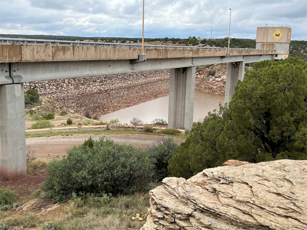 |
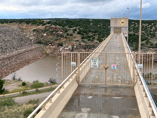
Below: Lee Duquette drove over the dam
|
 |
Below: View of the top of the
Santa Rosa Dam |
 |
 |
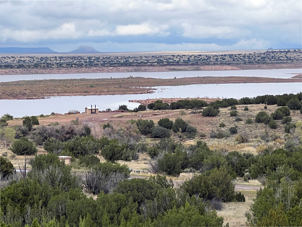
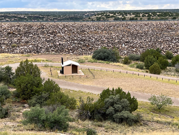
Below: The reservoir created
by the dam, Santa Rosa Lake, has a normal water surface area of 26 square
miles, a maximum capacity of 717,000 acre-feet, and a normal capacity
of 200,000 acre-feet. Recreation includes fishing (for largemouth bass,
catfish and walleye), boating, camping, and other activities at the
adjacent Santa Rosa Lake State Park. |
 |
 |
 |
 |
 |
 |
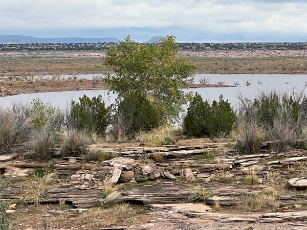
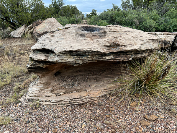
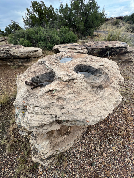
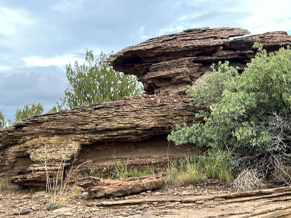
Below: While walking on a
short loop trail, Karen Duquette loved the big rock shown below because
of its shape and hole placements, and she imagined different descriptions
of the rock. A slightly different photo angle gives an entirely different
impression to the viewer. Karen Duquette thought the first picture looked
like a clam, and the second picture looked like a giant skull - (two
views of the same rock giving off different shapes). |
 |
 |
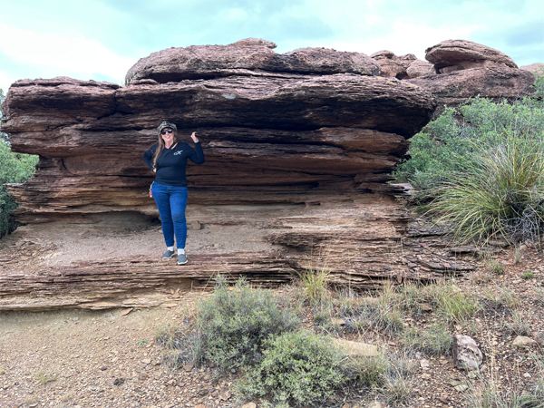
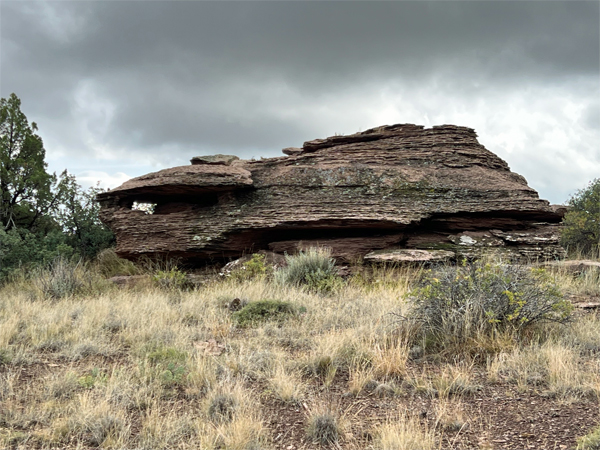
Below: Karen Duquette under
the ledge of another uniquely shaped giant rock. |
 |
 |
 |
 |
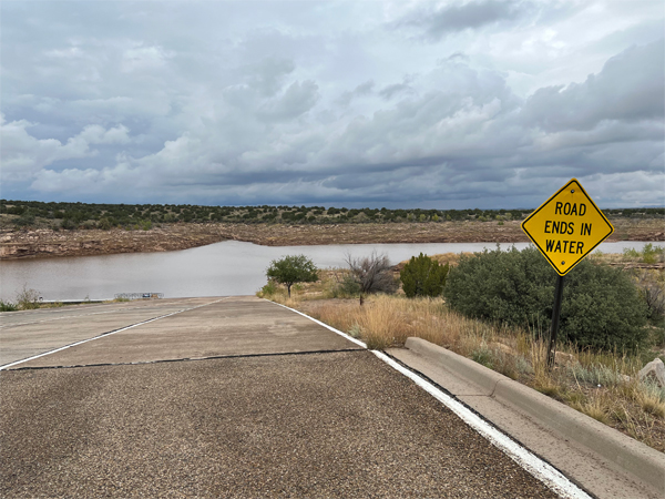
The skies started to cloud
up so Lee and Karen Duquette hurried back to their car. But they stopped
where the road ended in water and Karen took a couple of photos. |
 |
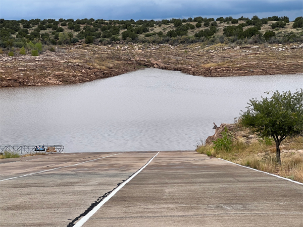 |
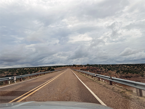
Below: Panoramas
often give the impression that a road curves, even though it is a straight
road, as was the case below. |
 |
Below: Then it was time for
the two RV Gypsies to drive away to their next adventure. |
 |
 |
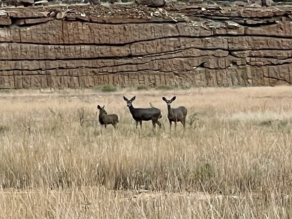
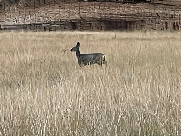
Below: Lee Duquette spotted some deer
getting ready to run across the road, so he stopped the car. The deer
paused to look at the car, then they all took off in a single-file run
across the road while Karen Duquette snapped a couple of quick photos. |
 |
 |