|
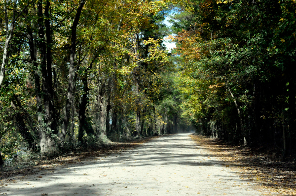
Built around
the city's original waterworks, Riverfront Park opened in 1983 for recreational
usage. This park was planned around the site of the world's first electrically
operated textile mill and the city's original waterworks and hydroelectric
plant, the oldest one in the state and it is still operating.
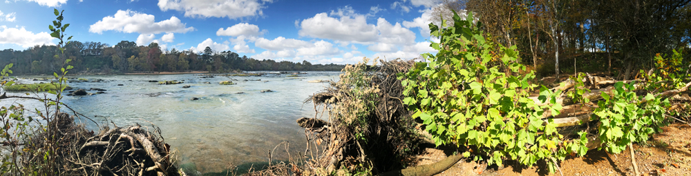
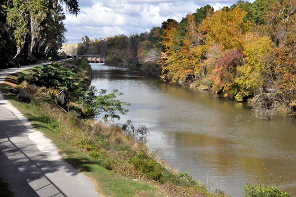
The park, which separates the Historic Columbia Canal and the convergence
of the Congaree, Saluda, and Broad Rivers is approximately 167 acres.
There are two entrances and although they are connected, those not
wishing to walk the entire trail, can experience the park from either
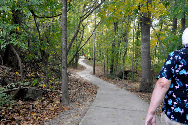
entrance. Each entrance offers a different experience. The two RV Gypsies
first entered from the North Entrance via a narrow dirt road, lined
with beautiful trees. |
|
 |
 |
 |
 |
 |
 |
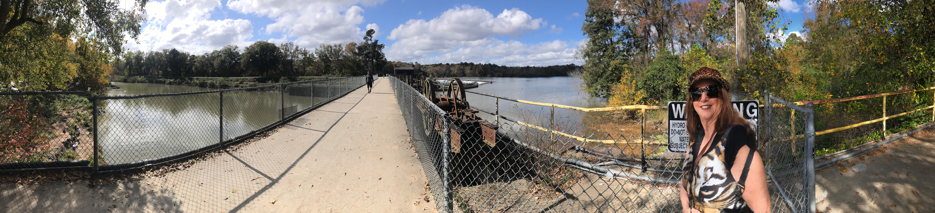
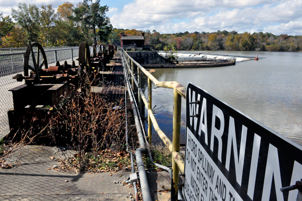
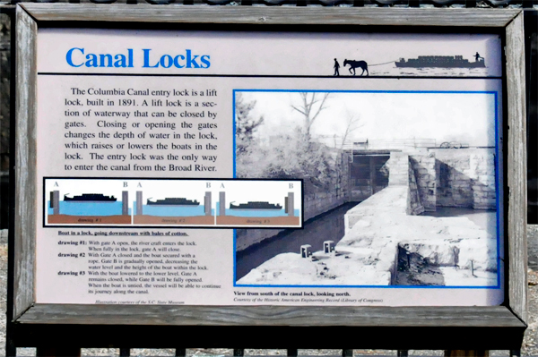
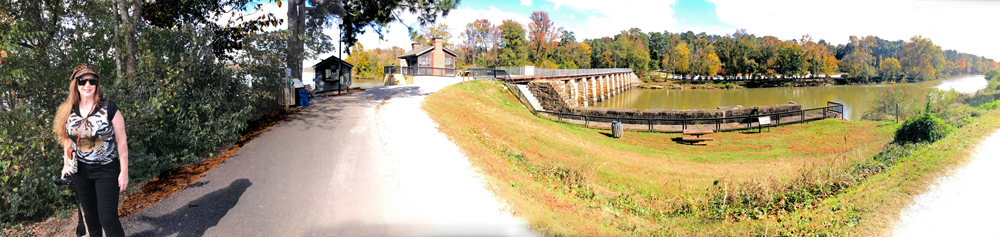
Leaving the parking
lot and crossing the walkway to the other side of the canal, the two
RV Gypsies studied the lock system which is no longer in use. |
|
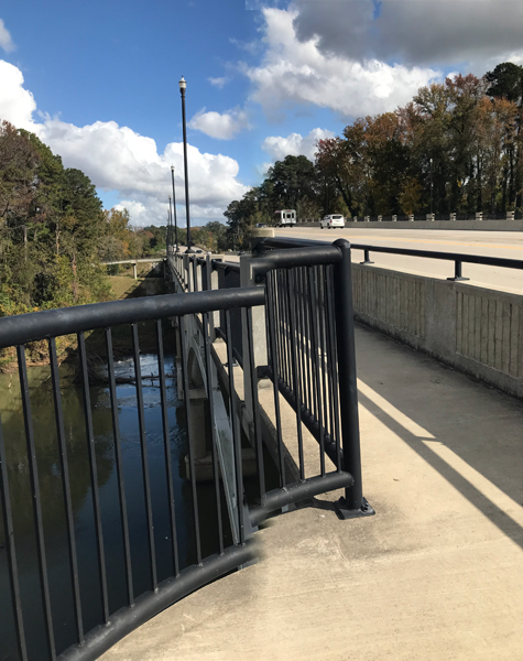
The photo below
on the left shows the walkway over the canal.
The photo below on the right is a view from the upper walkway. |
 |
 |
The photos
below show each side of the upper walkway shown above. |
 |
 |
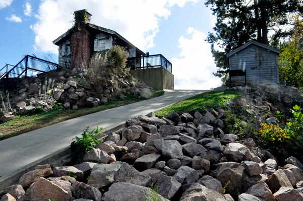
Then the two
RV Gypsies walked around the historical buildings and noticed the nice,
clean bathrooms with regular toilets and sinks plus water bowls for
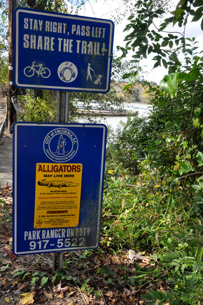
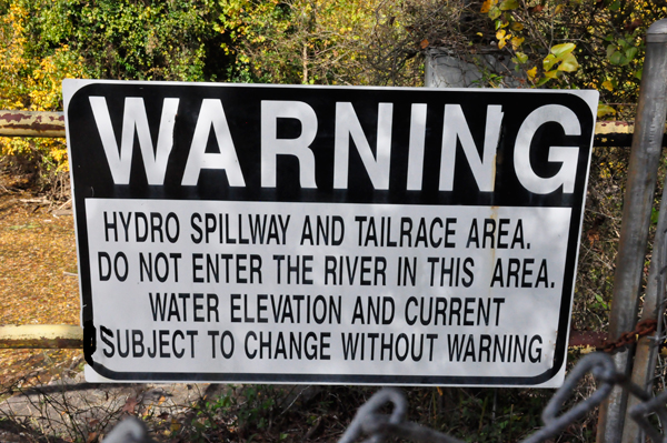
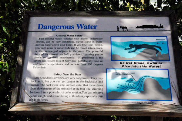
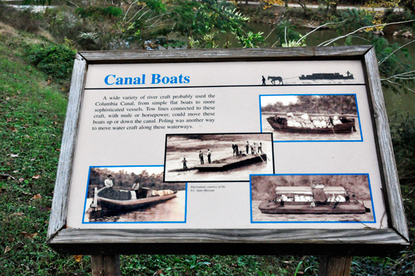
pets. There were historical and informative signs everywhere. |
 |
 |
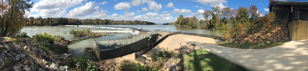
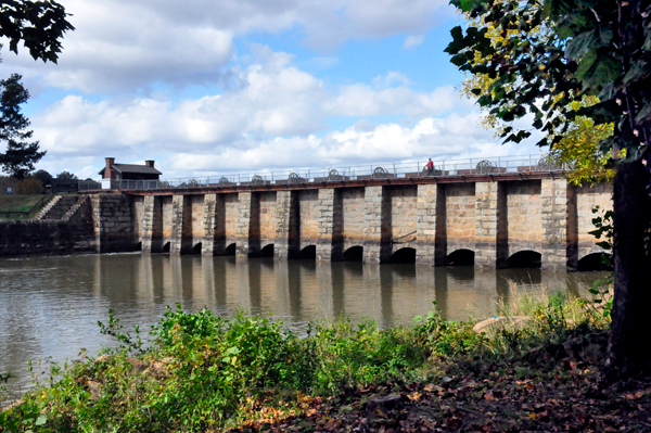
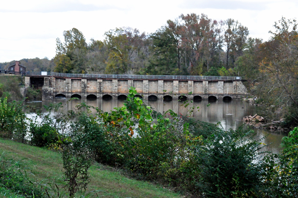
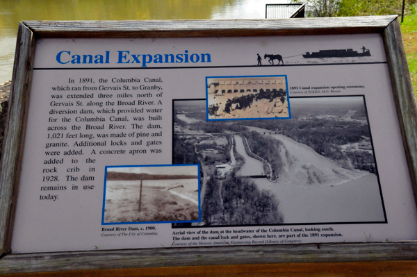
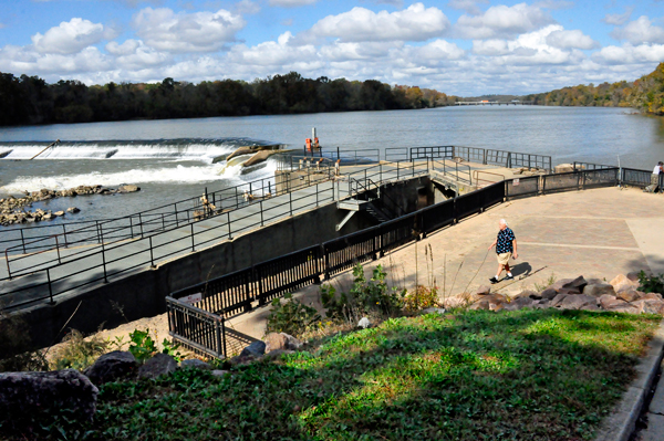
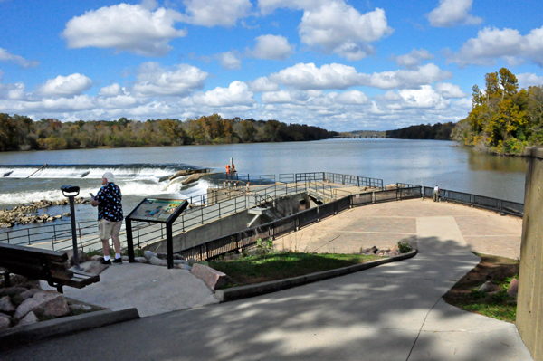
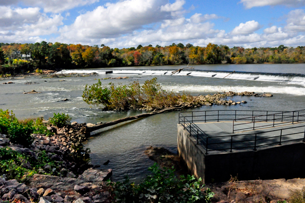
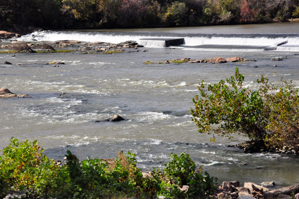
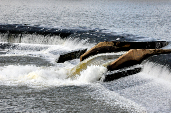
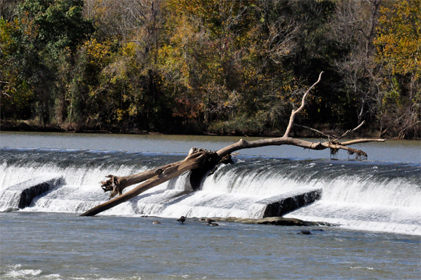
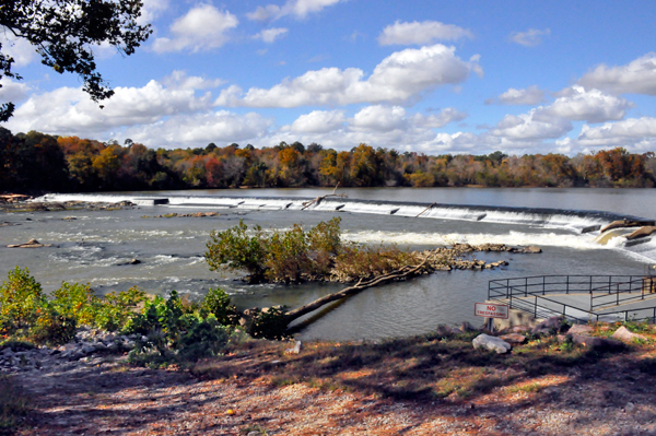
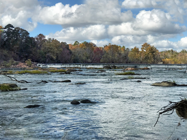
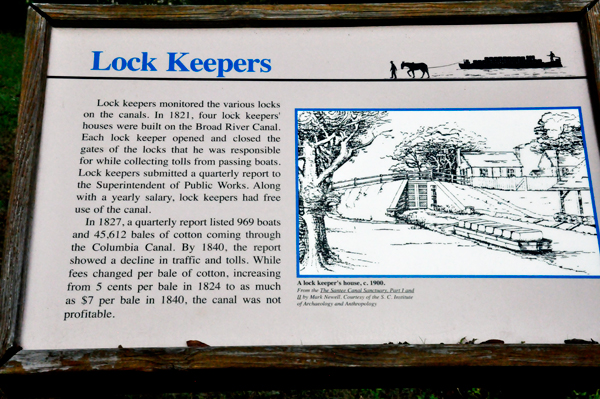
The sign below
says that in 1891, a diversion dam provided water for the Columbia Canal,
built across the Broad River. The dam, 1,2021 feet long was made of
pine and granite. Additional locks and gates were added. In 1900 it
was called the Broad River Dam. Now it is referred to as the Canal Diversion
Dam. |
 |
 |
 |
 |
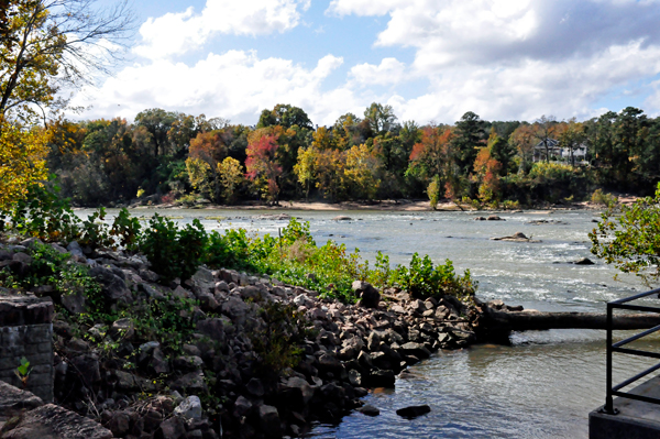
A short, but somewhat
steep paved hill led Lee and Karen Duquette down to a nice area to enjoy
the dam and views around the area. Once again, they had the area all
to themselves. |
|
 |
 |
 |
 |
 |
 |
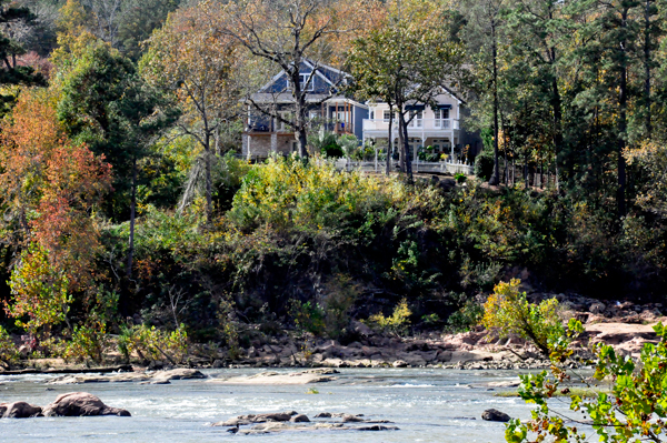
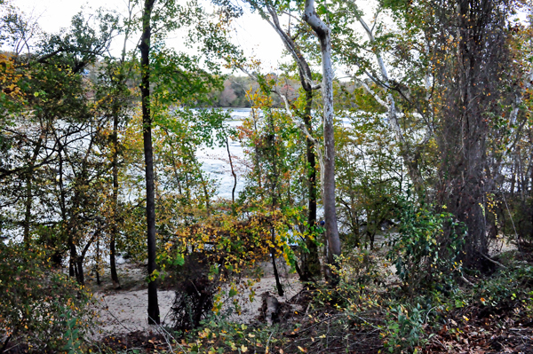
Below: Houses
across the way - which an barely be seen in the first photo. |
 |
 |
 |
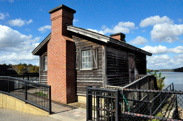
Below: View looking
back up at the historical building (which is now a restroom). Lee and
Karen Duquette walked back up the path and Karen Duquette took a photo
of the paved pathway by the canal. |
 |
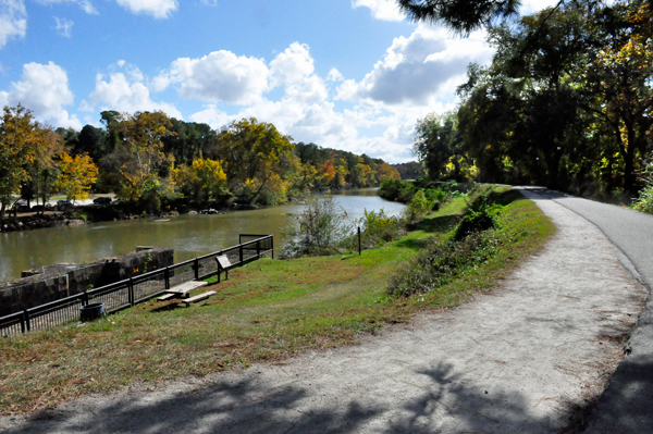 |
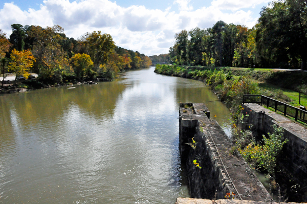
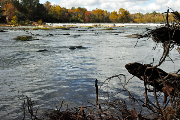
Lee Duquette
decided not to walk the easy, nicely paved trail on the levy between
the canal and Broad River (shown in the photo above) until the return
trip. They learned a lot of history from the historical signs along
the way. This is actually known as part of The Three Rivers Greenway
Trail which goes from the South Entrance to here at the canal diversion
dam. This is part of a beautiful series of riverfront pathways at the
confluence of the Broad, Saluda and Congaree rivers.
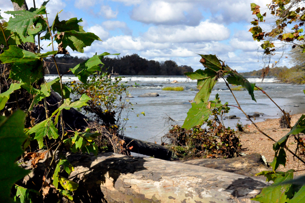
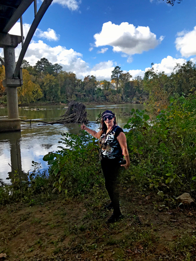
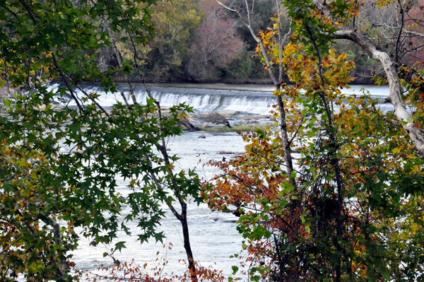
Karen Duquette took another look down at the dam and took a photo.
Then they took the path on the other side of the main path. At first
it was paved, but then it became a dirt trail. |
 |
 |
 |
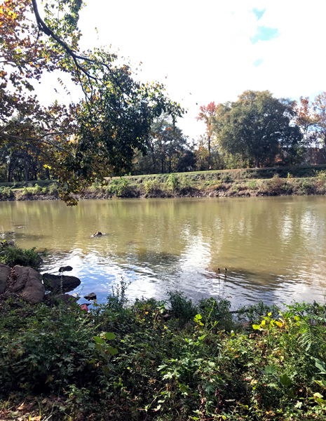
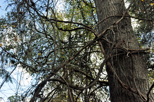
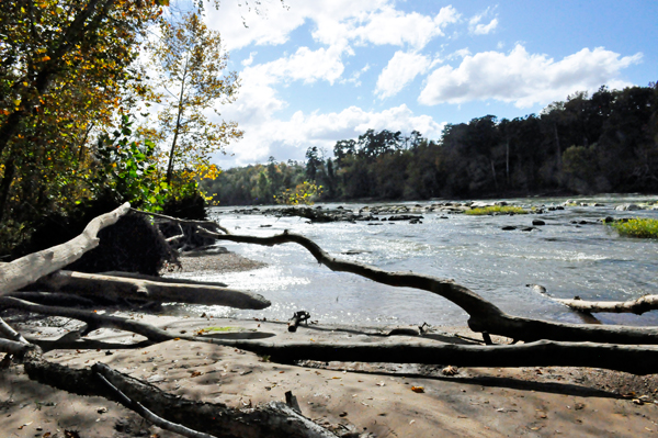
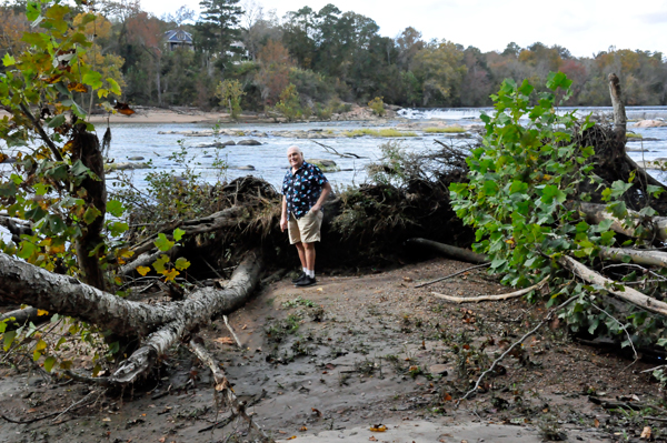
Occasionally,
Lee and Karen Duquette were able to take short, side paths to get closer
to the river. Karen Duquette liked the tangled web of tree branches
and roots that form weird shapes. |
 |
 |
 |
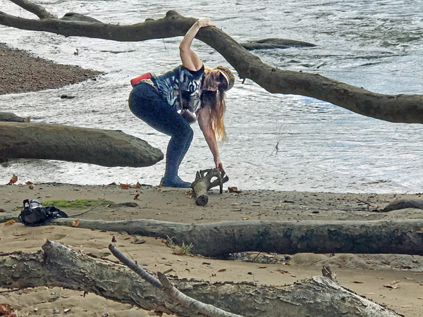
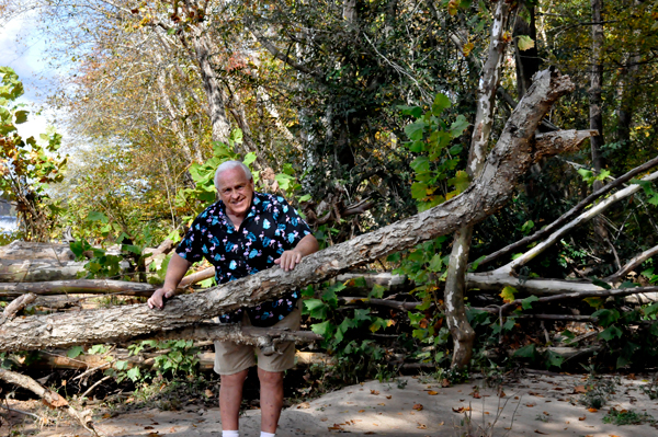
Karen Duquette
wanted to feel the temperature of the water. (It was quite cold). She
hung onto the large tree branch to hopefully keep her from falling into
the fast flowing river. Lee Duquette said he would not help her if she
falls in (he really hates cold water. (She does not recommend that other
people do some of the things that she does - everyone is responsible
for their own safety). |
 |
 |
 |
 |
 |
 |
 |
 |
 |
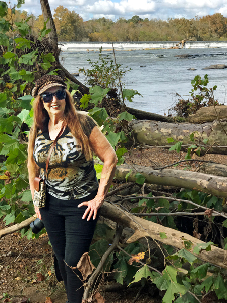 |
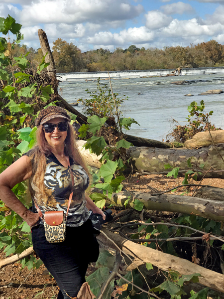
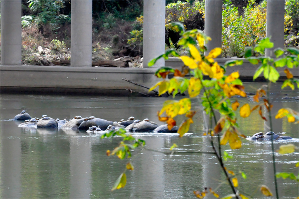
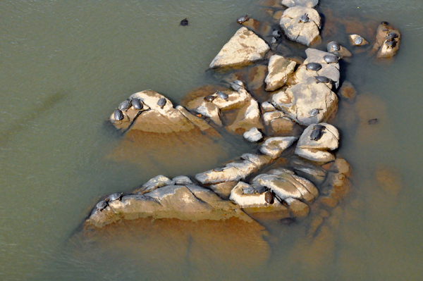
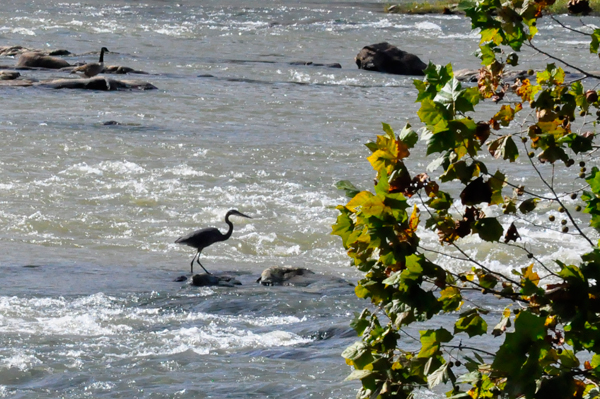
Eventually,
Lee and Karen Duquette got a glimpse of a bale of turtles. |
 |
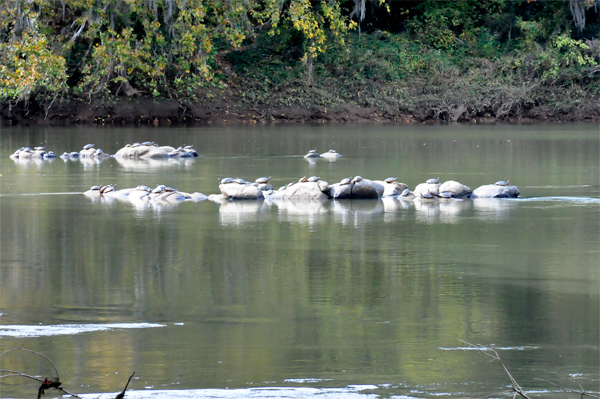 |
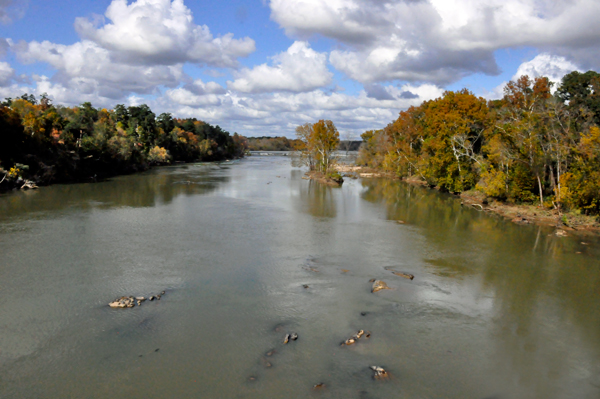
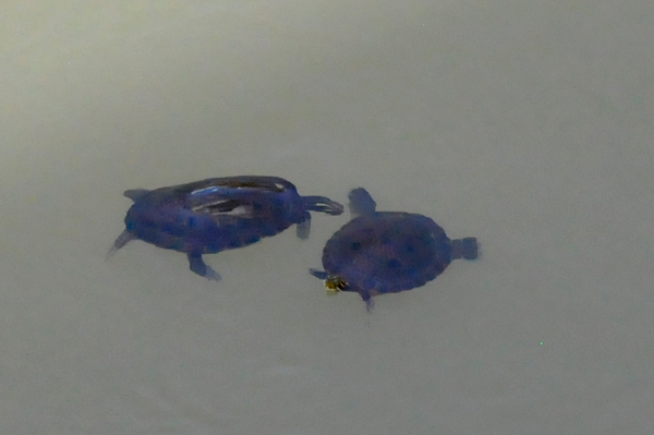
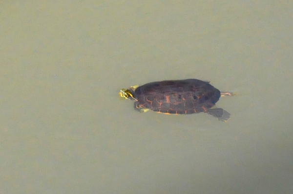
Below: Then they
arrived at the bridge that crosses over Broad River and they saw more
turtles. |
 |
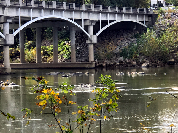 |
The Broad River
is a principal tributary of the Congaree River, about 150 miles long,
in western North Carolina and northern South Carolina in the United
States. Via the Congaree, it is part of the watershed of the Santee
River, which flows to the Atlantic Ocean.
The Congaree Riverkeepers geographical scope includes a 22-mile stretch
of the Broad River, from the Parr Shoals Reservoir located in Newberry
County down to its confluence with the Lower Saluda River, located within
the City of Columbia. |
 |
 |
 |
 |
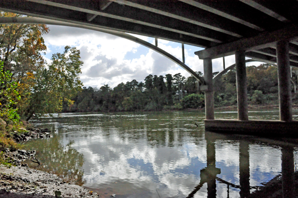
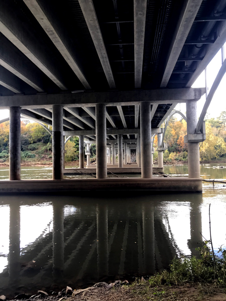
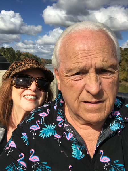
Lee and Karen
Duquette went under the land side of the bridge and up the embankment,
then up a steep walkway to a sidewalk by the road. |
 |
 |
 |
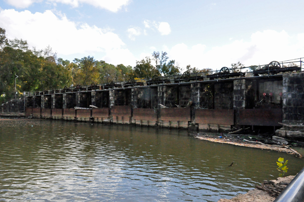
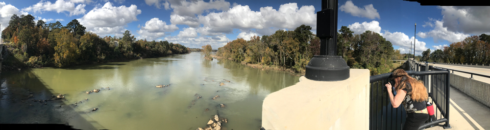
Below: Sticking
her camera lens between the rails of the fence, Karen Duquette took
photos of the dam in the far distance. Then she was able to zoom in
on the dam and the turtles. Lee Duquette photographed Karen as she took
the pictures. |
 |
 |
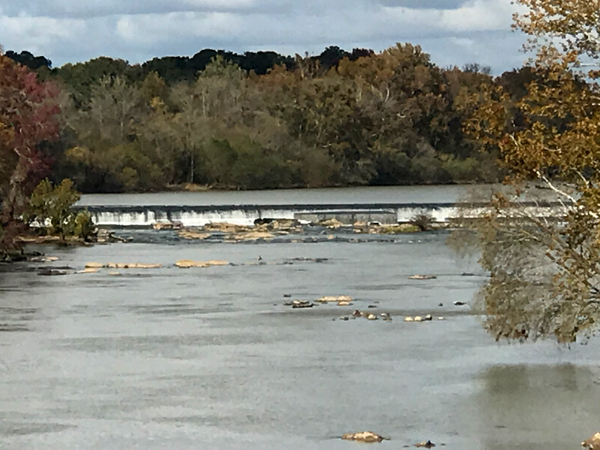 |
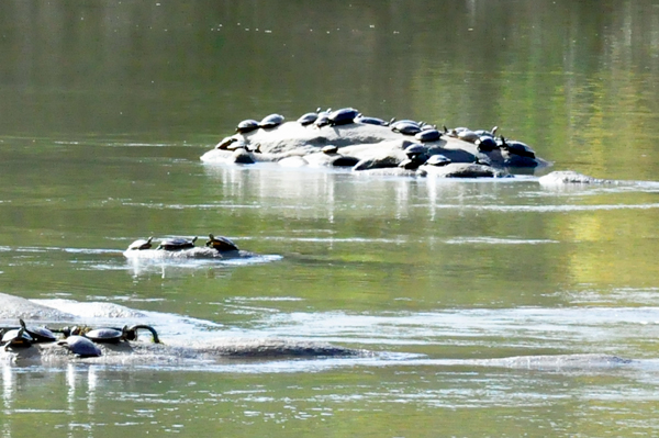
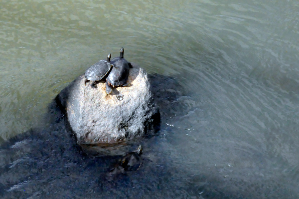
Below: A bale
of turtles on the rocks. Plus two turtles on a rock. Notice that one
turtle seems to be "hugging" the other turtle. How Cute!!! |
 |
 |
 |
 |
Below: Heading
back to their car in the parking lot, Lee and Karen Duquette enjoyed
the easy paved trail by the canal. They stopped several times to read
more signs. |
 |
|
 |
 |
 |
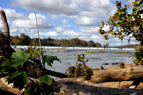
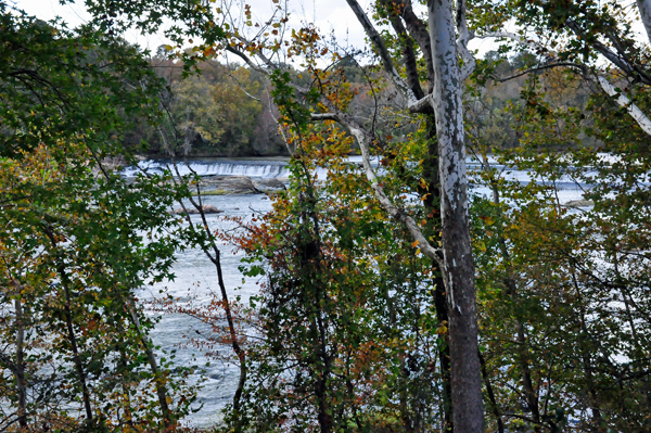
Below: The two
RV Gypsies took their last peek at the dam through the trees. |
 |
 |
 |
 |