Plus Flashbacks to 1978 and 2004 at the bottom of this page
|
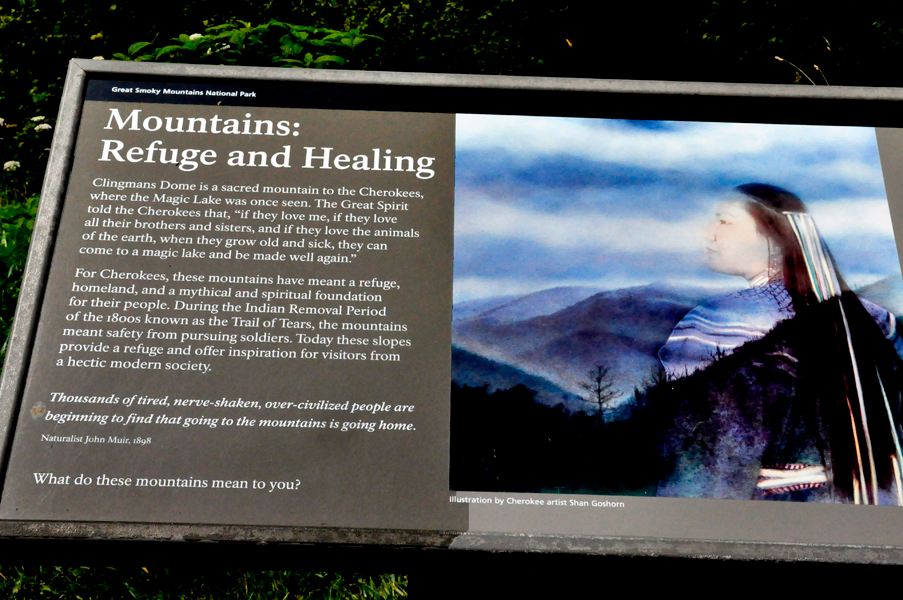
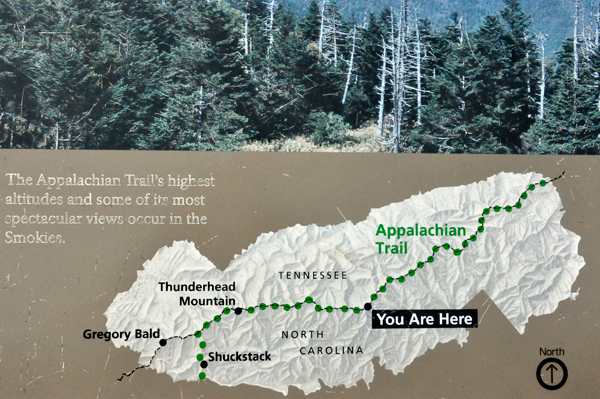
 Clingmans
Dome (or Clingman's Dome) is a mountain in the Great Smoky Mountains
of Tennessee and North Carolina, in the southeastern United States.
At an elevation of 6,643 feet, it is the highest mountain in the Great
Smoky Mountains National Park, the highest point in the state of Tennessee,
and the highest point along the 2,192-mile Appalachian Trail. It is
also the third highest point in mainland Eastern North America, after
the nearby Mount Mitchell (6,684 feet) and Mount Craig (6,647). Clingmans
Dome (or Clingman's Dome) is a mountain in the Great Smoky Mountains
of Tennessee and North Carolina, in the southeastern United States.
At an elevation of 6,643 feet, it is the highest mountain in the Great
Smoky Mountains National Park, the highest point in the state of Tennessee,
and the highest point along the 2,192-mile Appalachian Trail. It is
also the third highest point in mainland Eastern North America, after
the nearby Mount Mitchell (6,684 feet) and Mount Craig (6,647).
Clingman's Dome has two sub peaks: 6,560-foot Mount Buckley to the
west and 6,400-foot Mount Love to the east. The mountain is located
entirely within the Tennessee River watershed.
Clingmans Dome is protected as part of the Great Smoky Mountains National
Park. A paved road connects it to U.S. Highway 441 (Newfound Gap Road).
The 45-foot concrete observation tower, built in 1959 and listed on
the National Register of Historic Places, offers a panoramic view of
the mountains, depending on the weather.
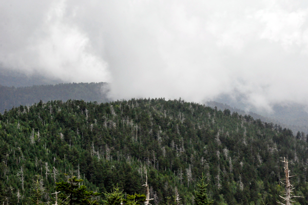
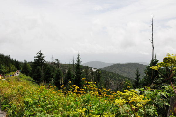
The Southern Appalachian spruce-fir forest which covers Clingmans
Dome occurs only at the highest elevations in the southeastern United
States, and has more in common with forests at northern latitudes than
with the forests in the adjacent valleys.
Clingmans Dome stands prominently above the surrounding terrain, rising
nearly 5,000 feet from base to summit. The forest on and around Clingmans
Dome has experienced a large die-off of Fraser fir caused by the non-native
insect, balsam woolly adelgid.
From time to time, it may be necessary to close some of the park trails.
|
|
|
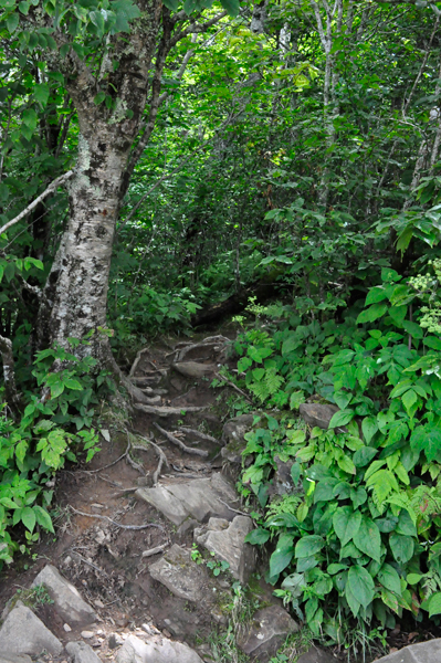
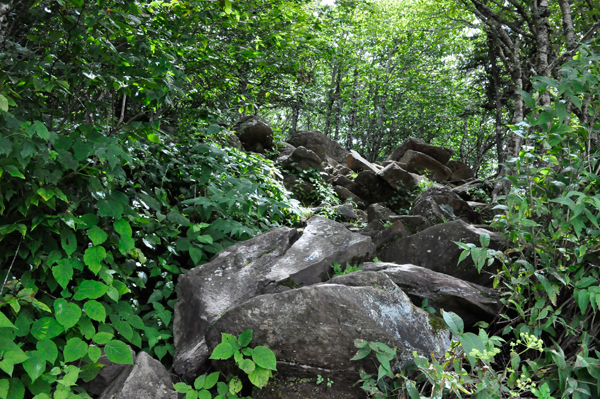
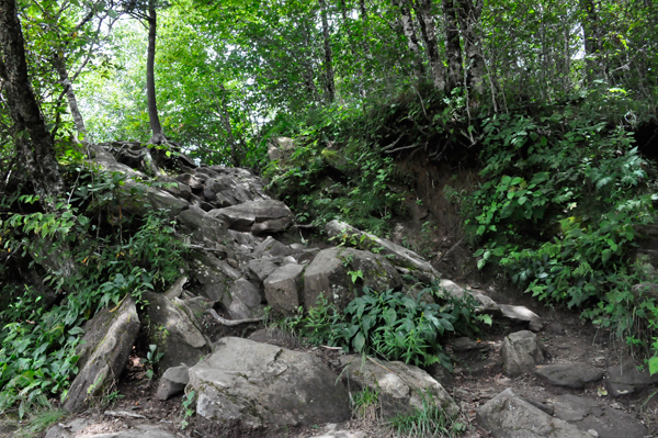
Below: Trails near the parking lot that are NOT meant for hiking
due to their roughness.
|
|
|
|
|
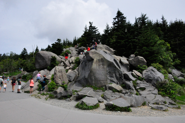
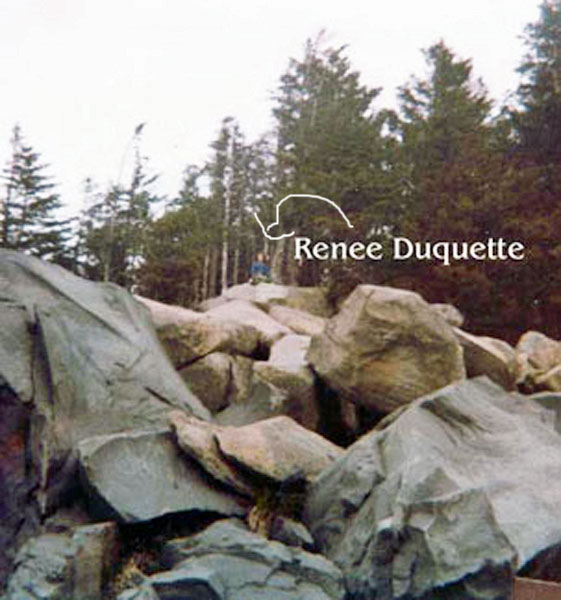
Below:  LOTS
of people on the rocks at the bottom of the hill in 2020 - and a FLASHBACK
to 1978 with Renee Duquette on the same rocks. Nobody else was around
in 1978. LOTS
of people on the rocks at the bottom of the hill in 2020 - and a FLASHBACK
to 1978 with Renee Duquette on the same rocks. Nobody else was around
in 1978. |
 |
 |
|
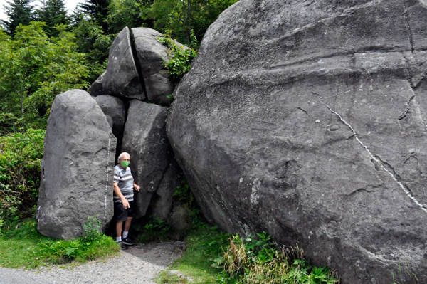
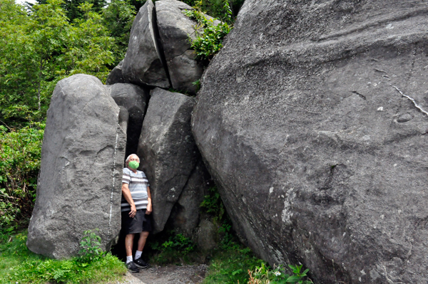
Below: Lee Duquette, August 27, 2020 by some big boulders.
|
|
|
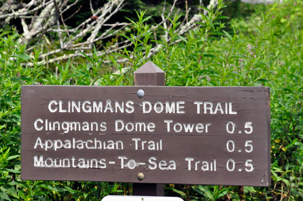
A half-mile paved trail leads from the parking lot
to the 45-foot observation tower at the top of the mountain. At the
beginning of the short, very steep trail a 12 percent grade, there
is a small visitor information center and park store staffed by the
Great Smoky Mountains Association, garbage cans, and numerous benches
to the side of the path. (This did not exist in 1978, the first time
Karen and Lee Duquette were here (with their children and Karen Duquette's
beloved Aunt Hazel Brink).
|
|
Below: Do NOT be fooled by the sign above saying it
is a 1/2 mile trail. That might be straight up as the crow flies perhaps,
but the curves in the trail definitely made it more than a 1/2 mile
trail hike, at least in the opinion of the two RV Gypsies. Plus the
extreme steepness (a 12 percent grade)
made it a really tough trail to walk.
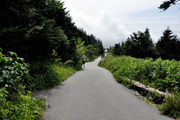
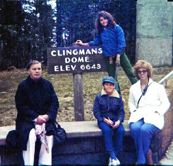
Lee and Karen Duquette plus their two children, and
Karen's Aunt Hazel Brink walked this trail in 1978 with no problem.
But now in 2020, Karen found it a bit exhausting and apparently so
did almost everyone else over the age of 25 - because they were all
complaining and breathing heavily. Actually some young children were
laying on the ground saying, "I'm tired". And they
were begging their parents to carry them. (Make them walk - its good
for them)
Lee Duquette is in the picture below and that is when
he turned around. But by doing so, he got to see a bonus that Karen
Duquette did not get to see. - Check out the Amazing Sun Halo
a bit lower down this page.
|
|
Below: After Karen Duquette took a few rest stops, she
finally made it to the top. She forgot to bring water with her. DUMB!
|
|
|
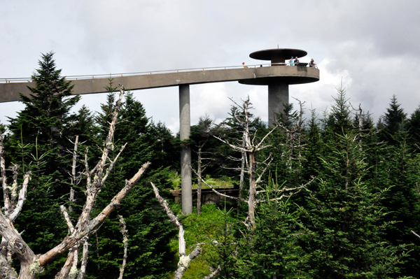
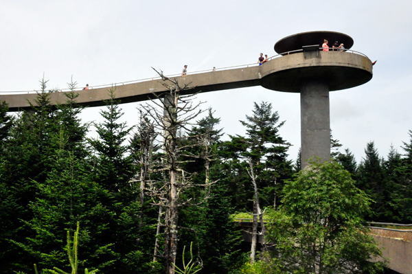
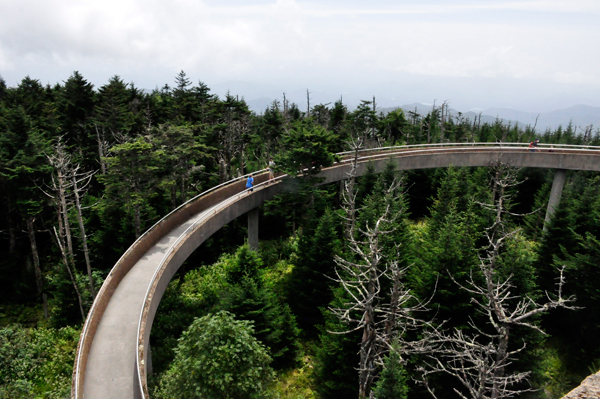
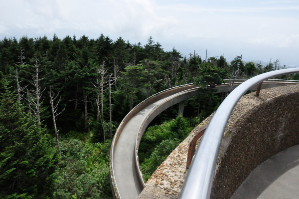
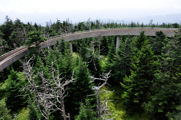
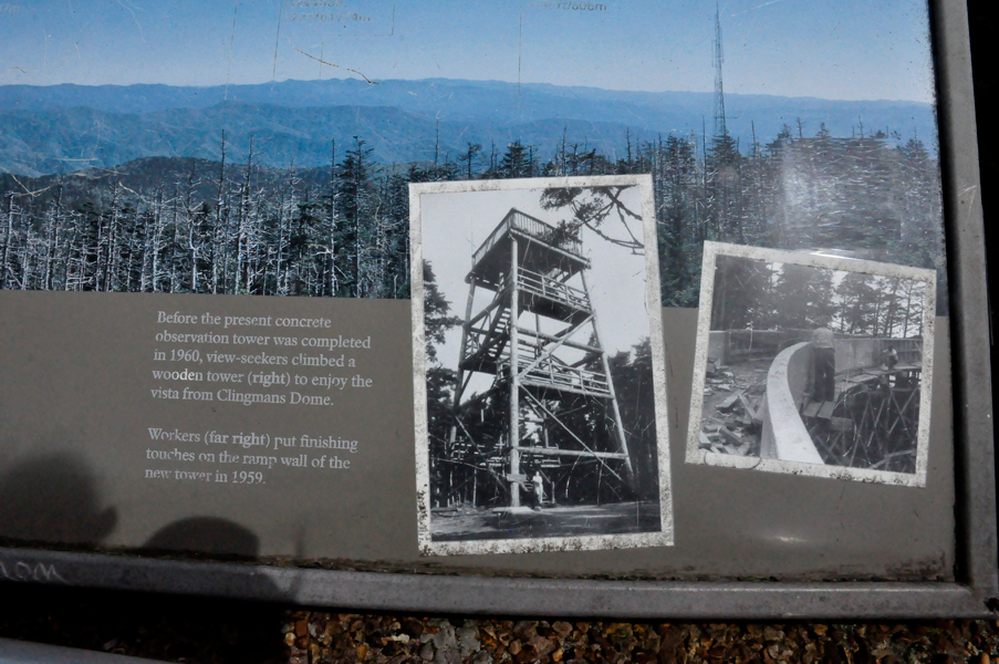
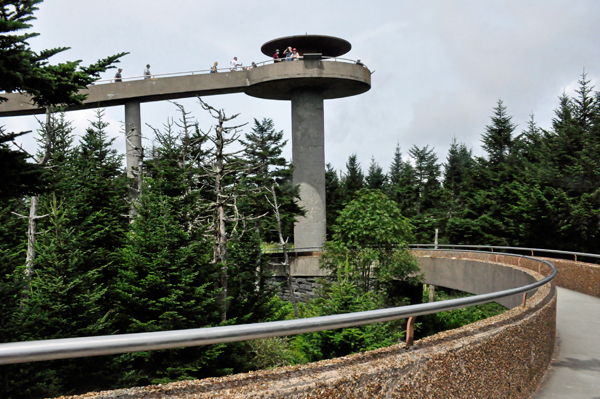
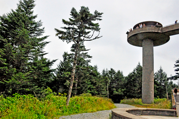
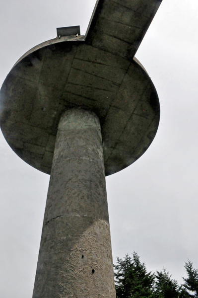
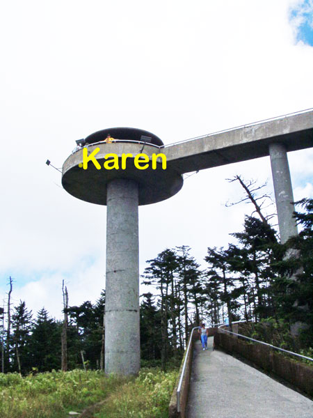
Below: Clingmans Dome Observation
Tower was built in 1959. The 45-foot tall concrete observation tower
features a circular observation platform accessed by a spiral ramp.
The ramp is 375 feet in length, and rises at a 12 percent grade, in
synch with the Clingmans Dome Trail. The platform, 28 feet in diameter,
allows spectators a 360-degree panorama of the surrounding terrain.
|
|
|
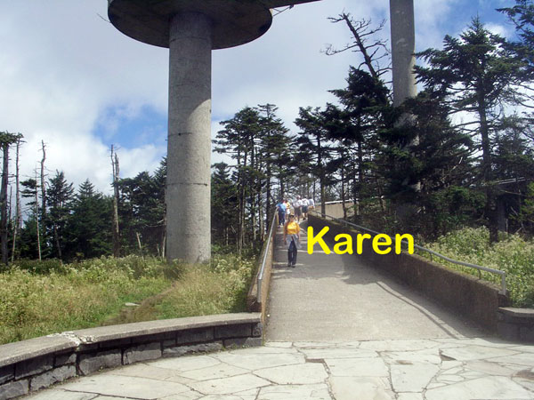
Below: Karen Duquette tried
to take a video as she walked around the circular tower, but had to
aim the camera to the sky often to get around all of the people. She
may try to post the video later.
|
|
|
|
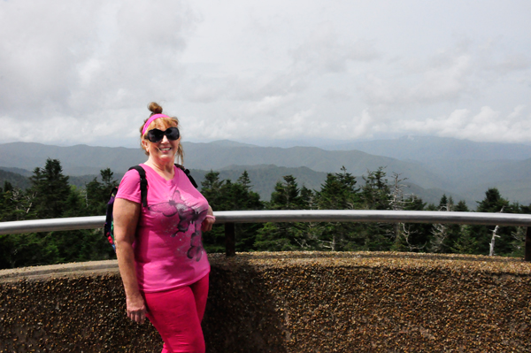
Below: Karen Duquette at the top
of the Clingmans Dome tower. 2020 |
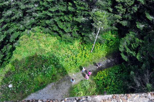
Looking down from the tower
at people below. |
|
|
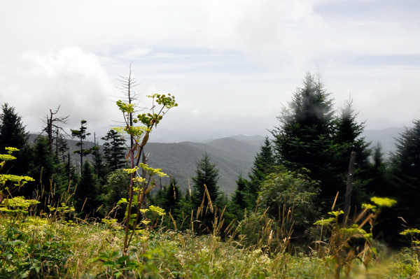
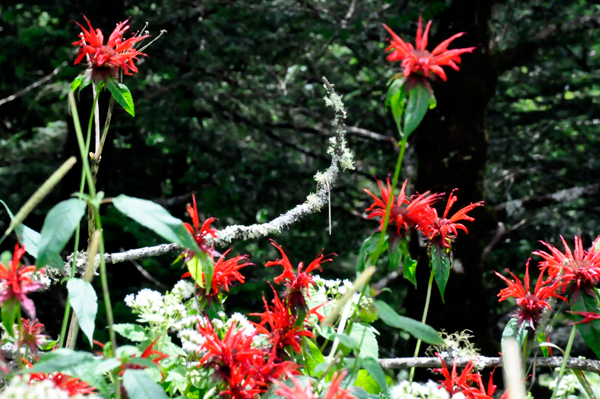
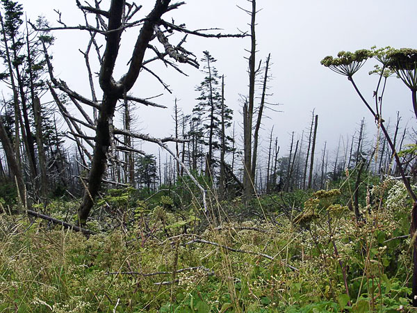
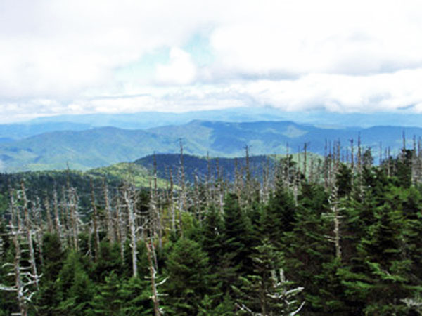
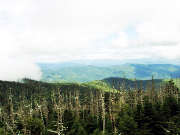
Below: A glimpse of the often hostile environment of
highland Appalachia, passing through the spruce-fir forest and its accompanying
blow downs and dead Fraser Firs. |
|
|
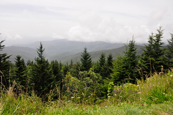
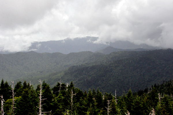
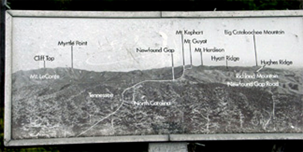
Below: Cantilevered signs
point out the various peaks, ridges, cities, and other features visible
in the distance. Depending on the haze, visibility ranges from 20 miles
on hazy days to 100 miles on very clear days. It was not a very
clear day on this date |
|
Back down at the bottom of the tower, Karen Duquette
took a few pictures looking up at the tower before descending back
down the trail to the parking lot.
|
|
|
|
Then Karen Duquette began the trip down the hill, which
was a bit easier than on the way up. Just as people laughed at her when
she was on her way up, she laughed at the other people on their way
up as she was on her way down. And when they asked Karen if they were
almost there, she just laughed, which was the same response she got
from people on the way down when she was on the way up. |
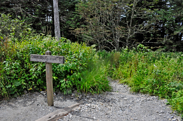
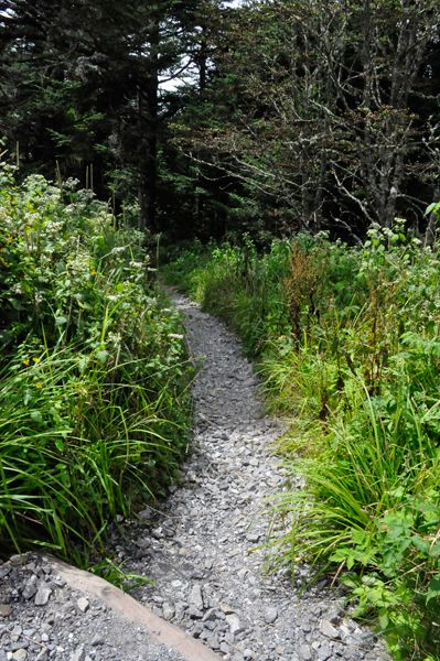
Below: The Appalachian Trail and signs
|
|
|
|
|
|
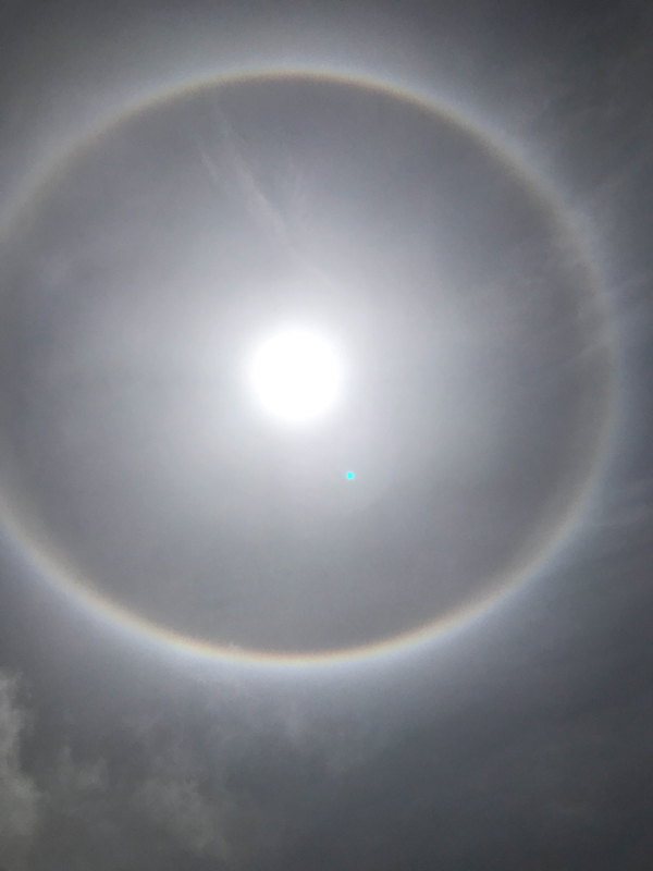
Meanwhile, while Lee Duquette was in the parking lot,
he looked up at the sky and saw a Sun Halo or otherwise called a
sunbow.
The dictionary definition of a Sunbow
(plural sunbows): A bow or arc of prismatic colors
like a rainbow, caused by refraction through a spray of water from a
cataract, waterfall, fountain, etc., rather than through droplets of
rain. When there are high cirrus clouds in the atmosphere,
(as on this date), ice crystals form in the cirrus clouds high in the
atmosphere forming a Sun Halo. So this was really a Sun Halo. |
|
| |
Below: FLASHBACK to September 9, 2004 - Karen Duquette
at the top of the tower and on the path back down to where Lee Duquette
was waiting for her. He did not want to go up the tower, even back in
2004. |
|
|
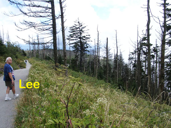
Below: FLASHBACK TO LEE ON THE TRAIL IN 2004 Notice
that there were only a few other people on the trail, unlike in 2020,
when the trail was very full of people everywhere. |
|
|


 After Clingmans Dome 2020 in Tennessee, the two RV Gypsies took a day trip to nearby


