|
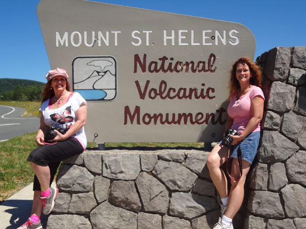
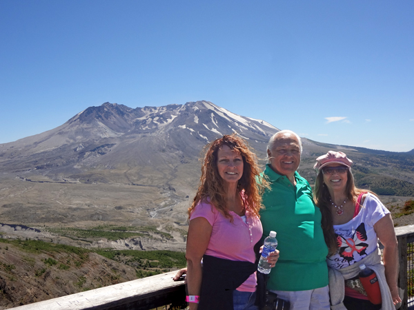
Lee and Karen Duquette,
The Two RV Gypsies: Full-Time
RVers
and Karen Duquette's sister, Ilse Blahak
at Mount Saint Helens in Washington
July 27, 2013
|
|
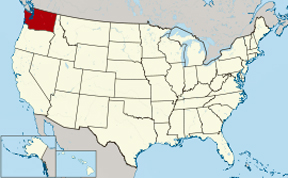
 Mount
St. Helens is an active stratovolcano located in Skamania County,
Washington, in the Pacific Northwest region of the United States. It
is 96 miles south of Seattle, Washington, and 50 miles northeast of
Portland, Oregon. Mount St. Helens is 45 miles west of Mount Adams,
in the western part of the Cascade Range. These "sister and brother"
volcanic mountains are approximately 50 miles from Mount Rainier. Mount
Hood, the nearest major volcanic peak in Oregon, is 60 miles southeast
of Mount St. Helens. Mount
St. Helens is an active stratovolcano located in Skamania County,
Washington, in the Pacific Northwest region of the United States. It
is 96 miles south of Seattle, Washington, and 50 miles northeast of
Portland, Oregon. Mount St. Helens is 45 miles west of Mount Adams,
in the western part of the Cascade Range. These "sister and brother"
volcanic mountains are approximately 50 miles from Mount Rainier. Mount
Hood, the nearest major volcanic peak in Oregon, is 60 miles southeast
of Mount St. Helens.
Mount St. Helens takes its English name from the British diplomat
Lord St Helens, a friend of explorer George Vancouver who made a survey
of the area in the late 18th century. The volcano is located in the
Cascade Range and is part of the Cascade Volcanic Arc, a segment of
the Pacific Ring of Fire that includes over 160 active volcanoes. This
volcano is well known for its ash explosions and pyroclastic flows.
Mount St. Helens is most notorious for its catastrophic eruption on
May 18, 1980, at 8:32 a.m. PDT, the deadliest and most economically
destructive volcanic event in the history of the United States. Fifty-seven
people were killed; 250 homes, 47 bridges, 15 miles of railways, and
185 miles of highway were destroyed. A massive debris avalanche triggered
by an earthquake measuring 5.1 on the Richter scale caused an eruption
that reduced the elevation of the mountain's summit from 9,677 feet
to 8,365 feet, replacing it with a 1 mile wide horseshoe-shaped crater.
The debris avalanche was up to 0.7 cubic miles in volume. The Mount
St. Helens National Volcanic Monument was created to preserve the volcano
and allow for its aftermath to be scientifically studied. Prior to the
1980 eruption, Mount St. Helens was the fifth-highest peak in Washington.
As with most other volcanoes in the Cascade Range, Mount St. Helens
is a large eruptive cone consisting of lava rock interlayered with ash,
pumice, and other deposits. The mountain includes layers of basalt and
andesite through which several domes of dacite lava have erupted. The
largest of the dacite domes formed the previous summit, and off its
northern flank sat the smaller Goat Rocks dome. Both were destroyed
in the 1980 eruption. |
Above quote From Wikipedia, the free
encyclopedia |
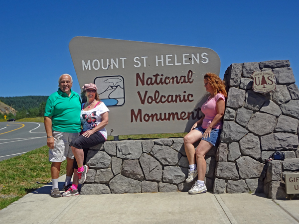
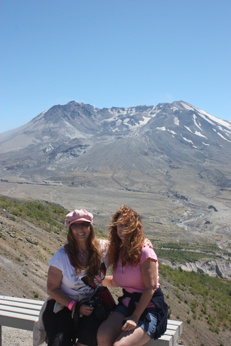
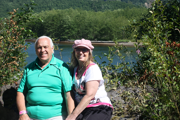
Below: Lee Duquette set up the camera on a short, little
tripod and set the self-timer button to take a photo of himself with
Karen and Ilse.
|
|
|
|
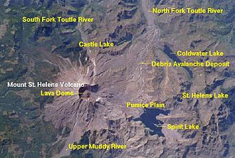
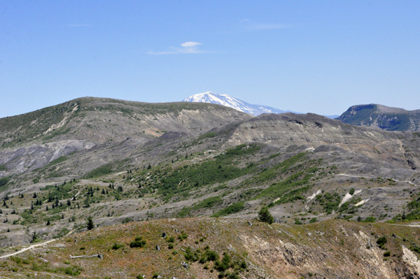
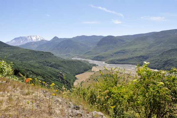
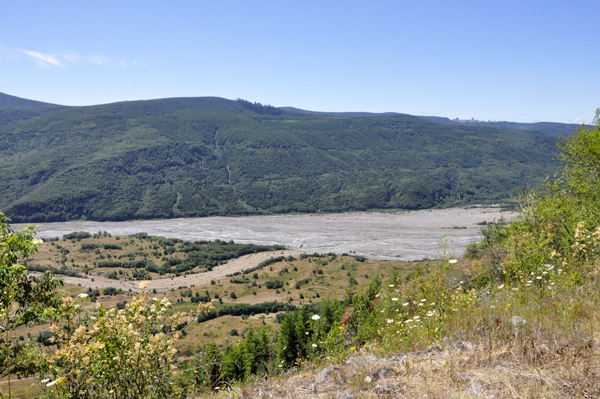
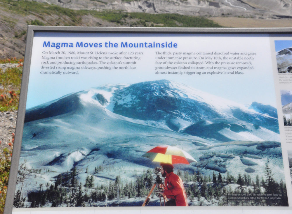
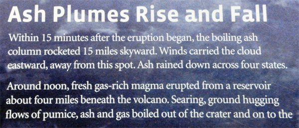
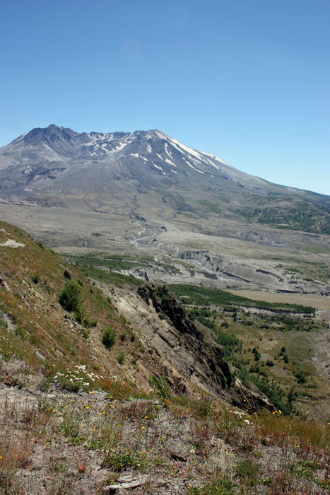
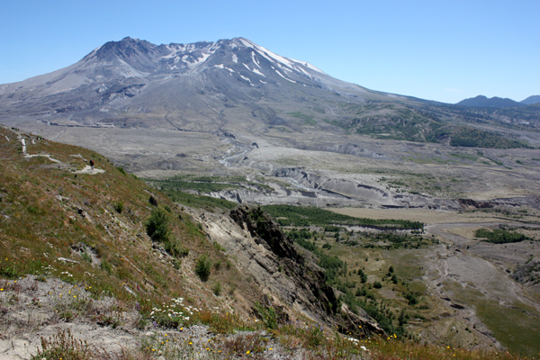
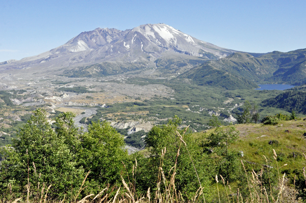
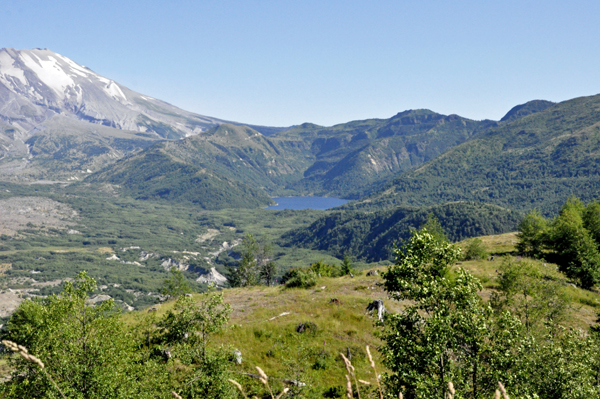
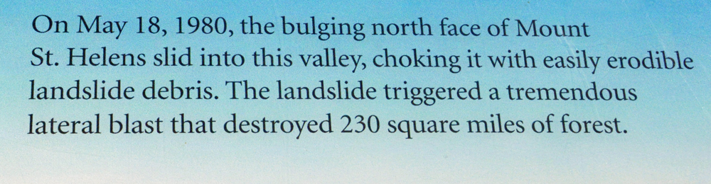
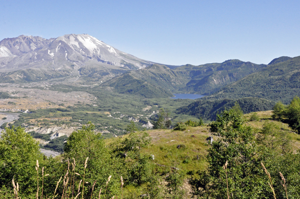
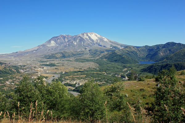
The full impact of the 1980
lateral blast and 33 years of natural recovery is seen on the drive
through miles of standing-dead and blown-down forests. |
|
|
In less than 10 minutes from
the blast, the avalanche swept 14 miles down the South Coldwater and
North Toutle River Valleys. |
|
|
|
|
|
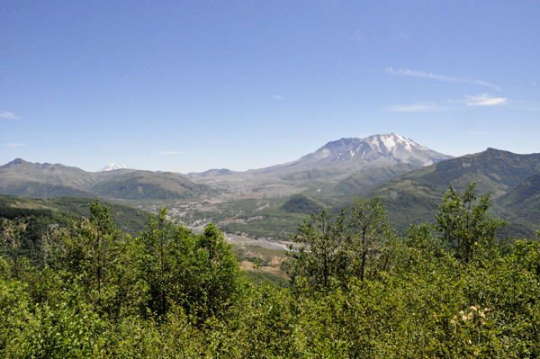
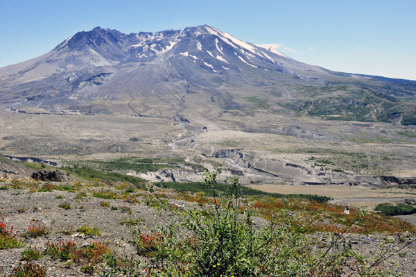
Evidences of destruction and
recovery abound, along with amazing views of Mount St. Helens from Johnston
Ridge - elevation 4,314 feet. |
|
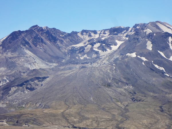
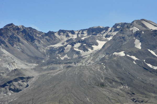
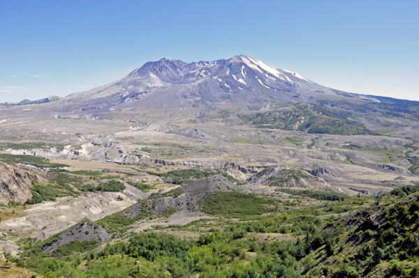
Below: View of
the lava dome and growing glacier from a visitor center overlooking
the crater. A Monument Pass (wrist band) was required to be purchased
at the visitor center, and must be worn while on Johnston Ridge. |
|
|
|
|
|
|
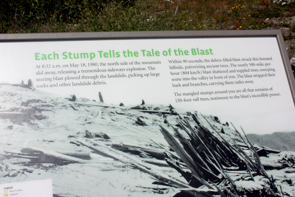
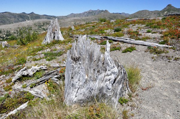
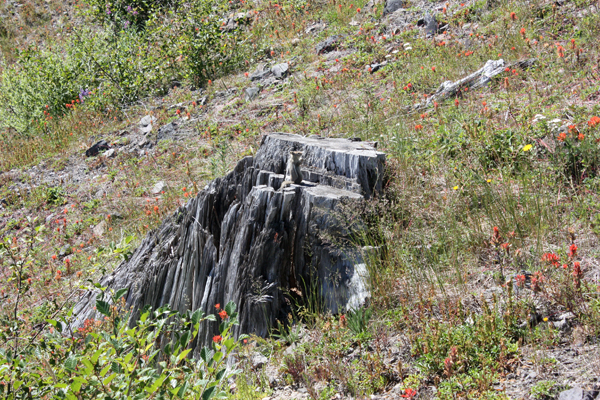
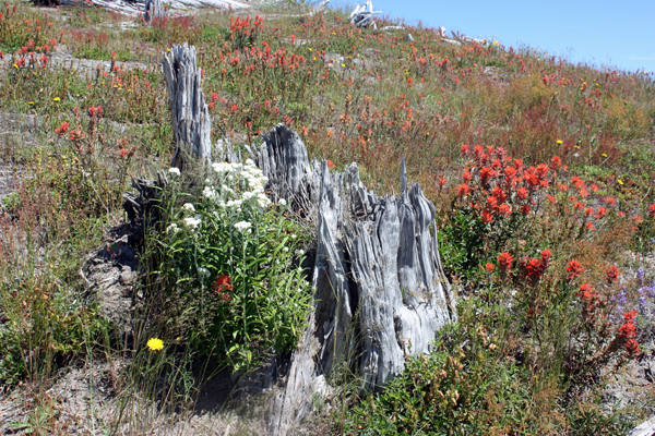
Below: Each Stump tells the
tale of the blast. Within 90 seconds, the debris-filled blast struck
this forested hillside, pulverizing ancient trees. The nearly 500-mile
per hour blast shattered and toppled trees, snapping some into the valley
shown below. The blast stripped their bark and branches, carrying them
miles away. The mangled stumps are all that remains of the 150-foot-tall
trees, testimony to the blast's incredible power. |
|
|
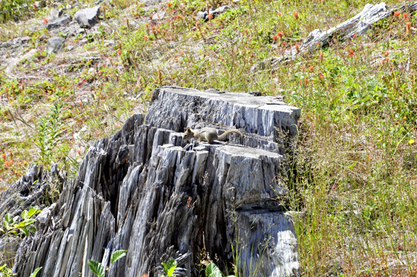
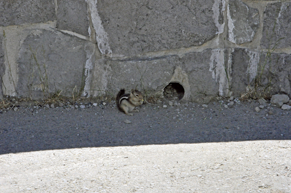
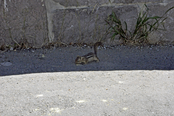
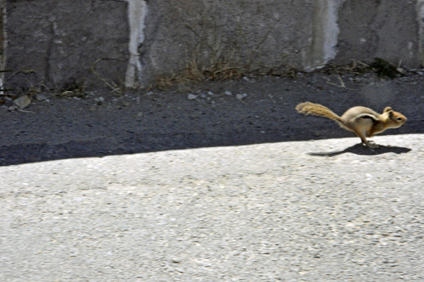
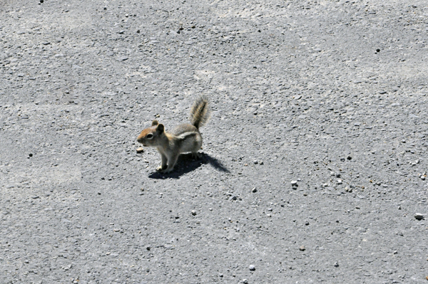
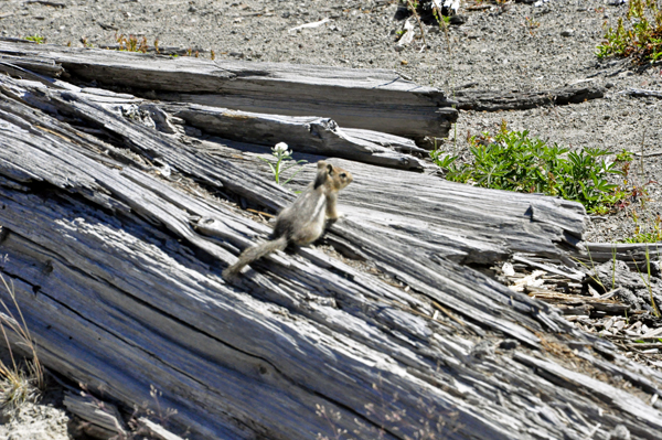
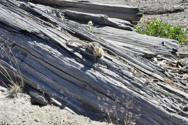
Below: A squirrel on one
of the tree stumps |
|
|
|
|
|
|
|
 |
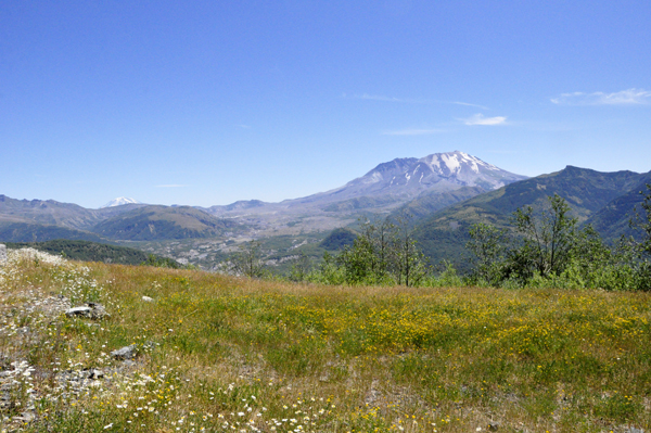
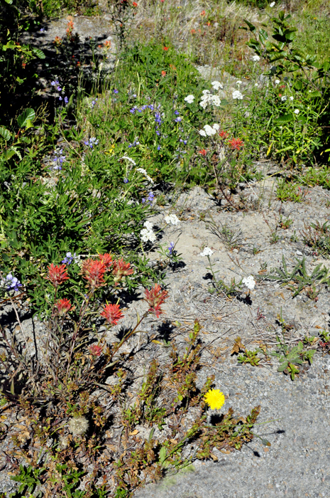
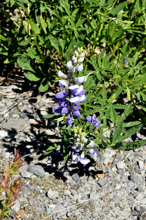
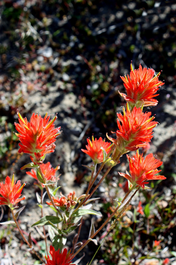
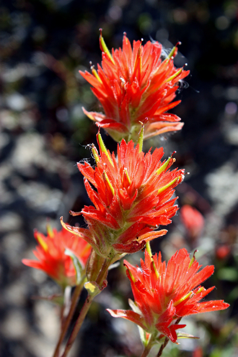
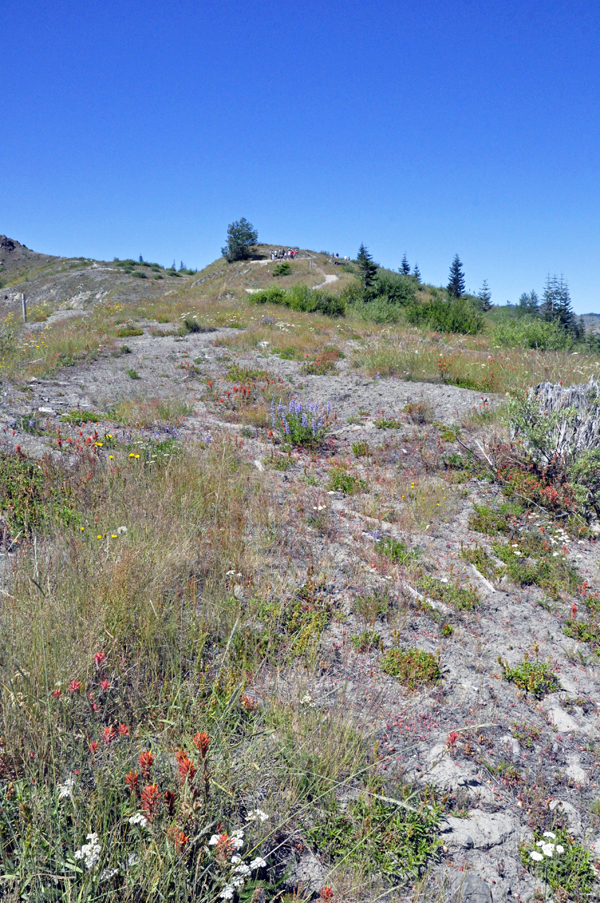
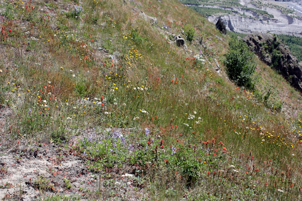
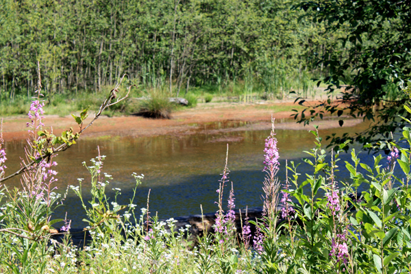
Below: Flowers were blooming
once again on Mount Saint Helens. |
|
|
|
|
|
|
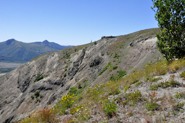
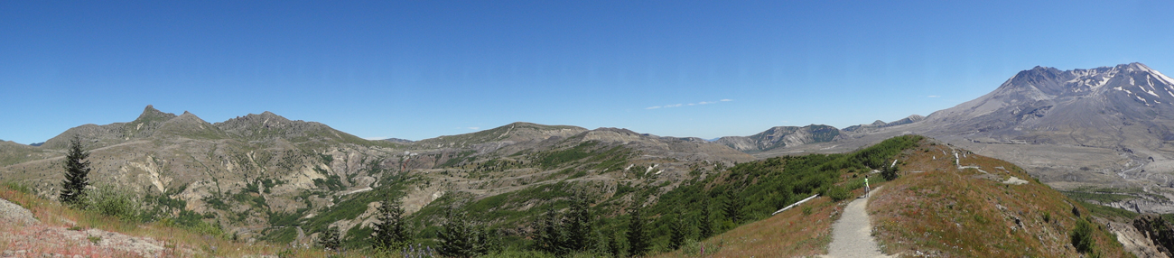
Karen, Lee, and Ilse looked
back up at Johnston Ridge from the trail they hiked. There are tiny
people at the top of the trail in the photo below on the right. |
|
|
|
>
The Johnston Ridge trail and Mount St. Helens
|
|
|
|
|
|
|
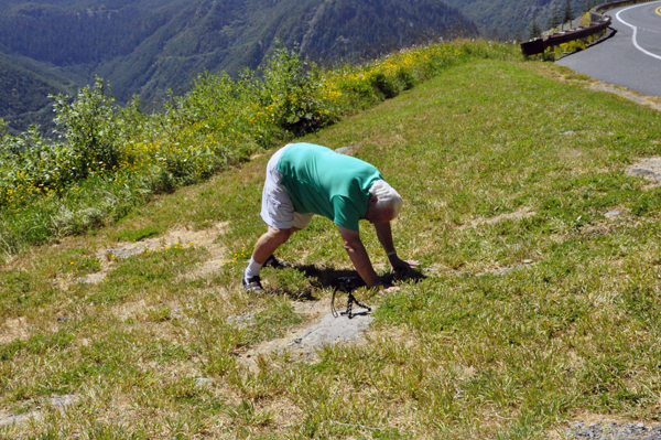
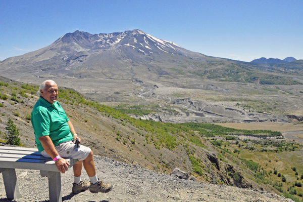
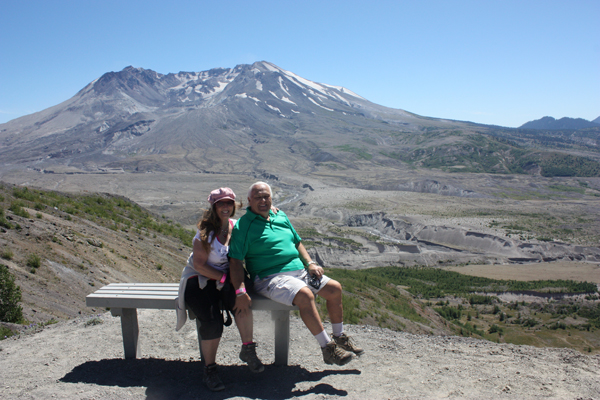
Below: The
two RV Gypsies took a break along the trail and enjoyed the view from
the well-placed bench. |
|
|
|
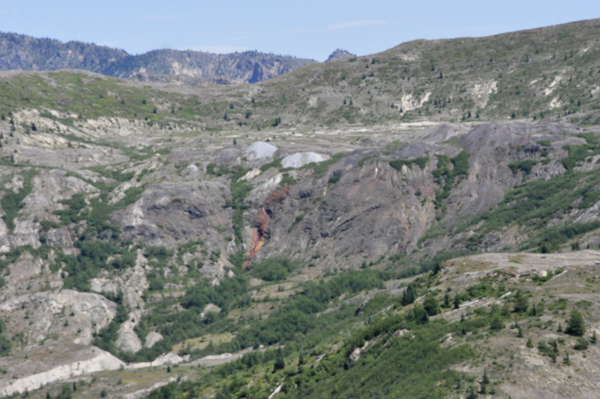
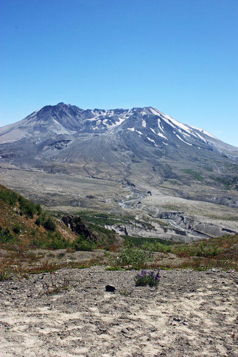
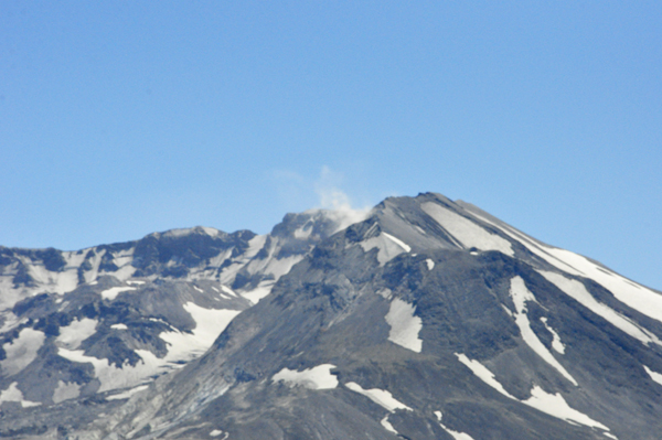
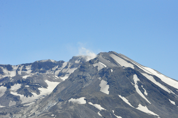
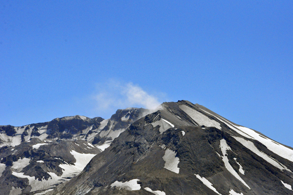
Below: The Crater and Lava
Dome at Mount Saint Helens. Suddenly some rocks fell into the Lava Dome
which caused steam to rise up into the air. (no steam in the left photo). |
|
|
|
|
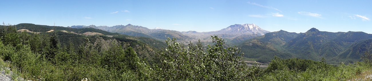
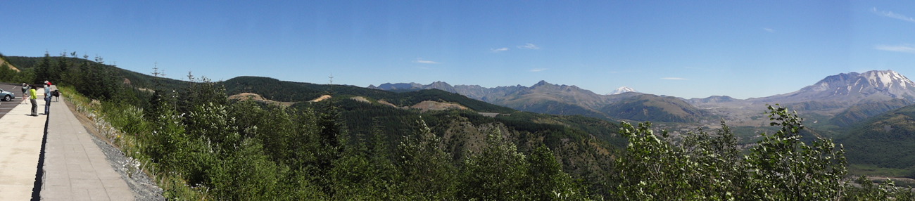
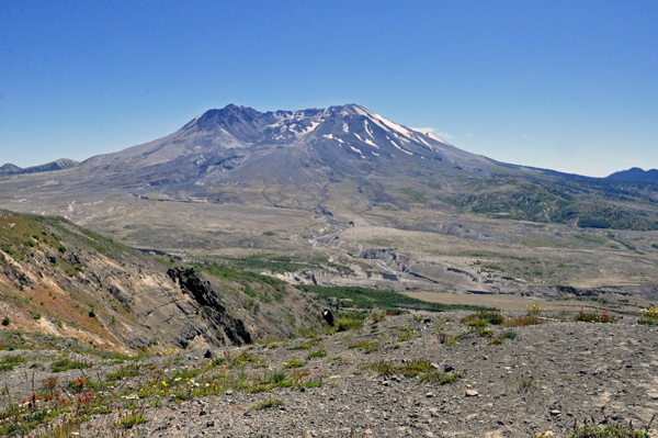
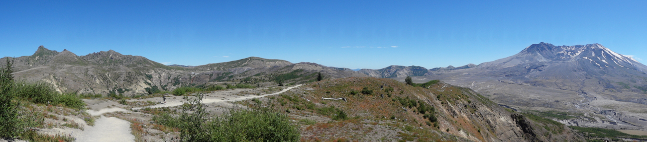
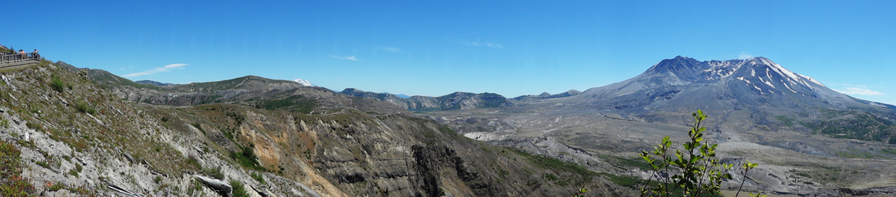
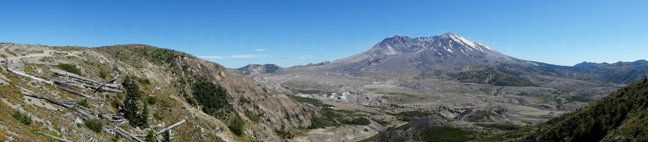
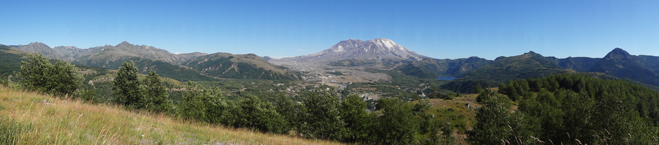
Below: Panorama views of
Mount St. Helens |
|
|
|
|
|
|
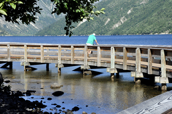
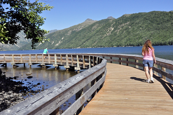
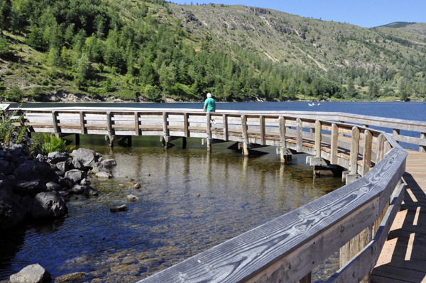
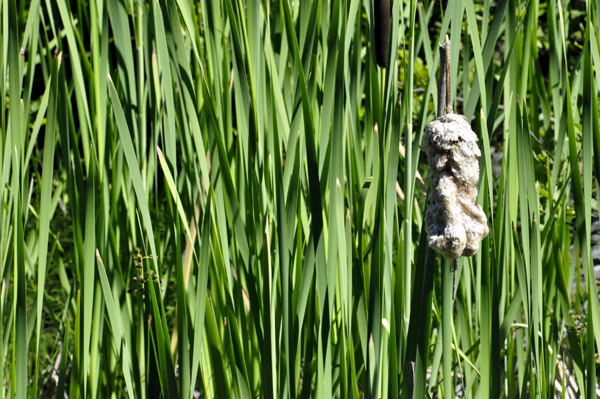
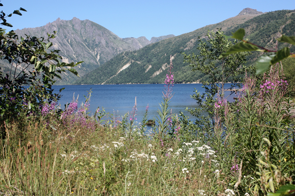
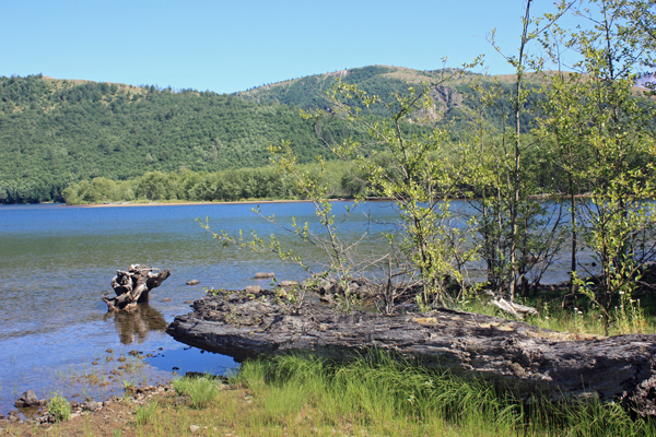
Below: Coldwater Lake Recreation
Area |
|
|
|
|
|
|
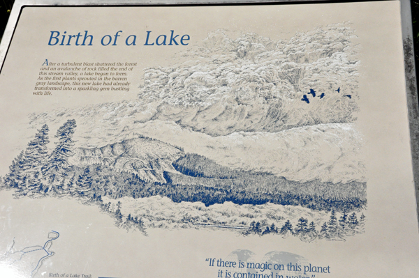
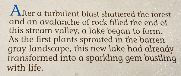
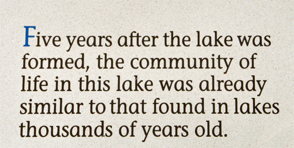
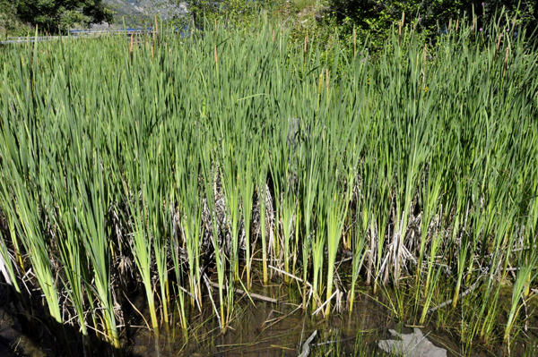
Coldwater Lake was formed when water backed up behind
a natural dam that was created by a massive landslide during the 1980
eruption.
|
|
|
|
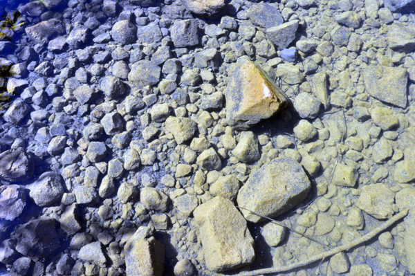
The water was so clear that
the rocks did not look like they were under water, but they were. |
|
|
|
|
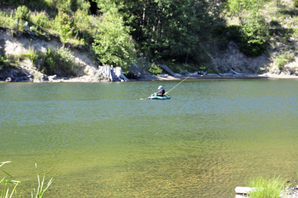
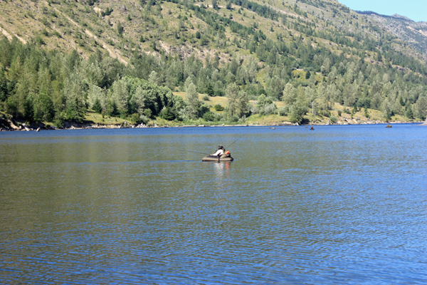
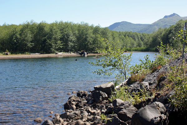
Coldwater Lake had a boat launch area for electric
motors only. Fishing requires a Washington state license. Access
is via small electric boat or float tubes as shown below.
|
|
|
|
|
|
|
|
|
|
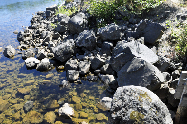
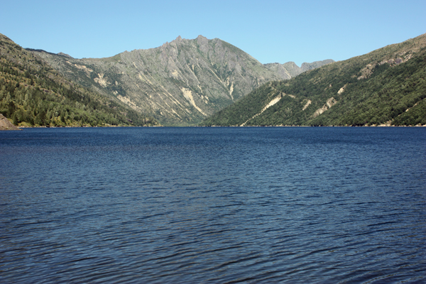
Below: The view from Castle Lake Viewpoint - Castle
Lake was created when the debris from the avalanche dammed South Fork
Castle Creek.
|
|
|
|
|
|
|


 If you have already seen all of the 32 sites in Oregon,


