Lee
and Karen Duquette,
The Two RV Gypsies: Full-Time RVers
at The Natural Bridge
in Natural Bridge, Virginia
(Rockbridge County)
October 16, 2013
(plus a flashback to 2001) |
|
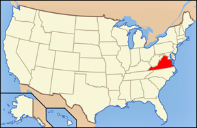
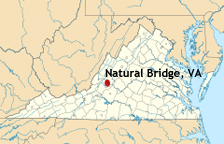
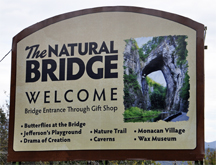
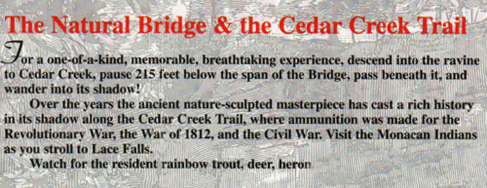
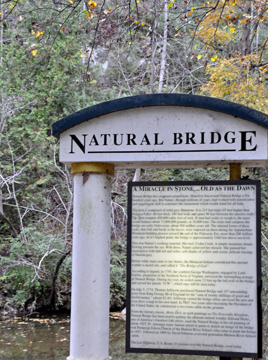
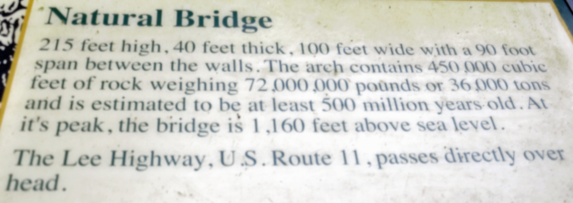
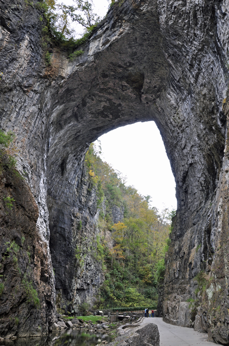
Natural Bridge
in Rockbridge County, Virginia, is a geological formation in which Cedar
Creek (a small tributary of the James River) has carved out a gorge
in the mountainous limestone terrain, forming a natural arch 215 feet
high with a span of 90 feet. It consists of horizontal limestone strata,
and is the remains of the roof of a cave or tunnel through which the
creek once flowed. Natural Bridge has been designated a Virginia Historic
Landmark and a National Historic Landmark.
The Natural Bridge was a sacred site of the Native American Monacan
tribe, who believed it to be the site of a major victory over pursuing
Powhatans centuries before the arrival of whites in Virginia. Visitors
must purchase tickets to view the bridge from below. U.S. Rout 11 (Lee
Highway) runs on top of the Bridge, but protective fences make it difficult
to see anything besides the roadway.
The Natural Bridge was once owned by Thomas Jefferson. It was deemed
the "Bridge of God" by the Monacan Indians who discovered
it, and was traversed by Civil War soldiers, and was once surveyed by
a young Gorge Washington. The Bridge has a rich, spiritual history dating
back hundreds of years. In 1774, King George III deeded Natural Bridge
to an awestruck Thomas Jefferson. Always the explorer, Jefferson treasured
the Natural Bridge and came here often, establishing a visitor lodge
and opening the door to travelers and artists from around the world.
|
|
|
|
|
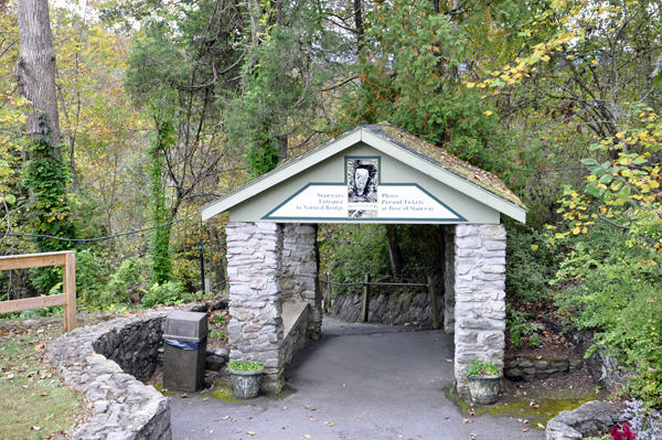
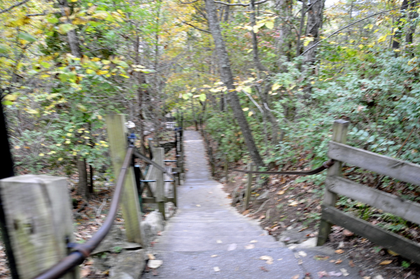
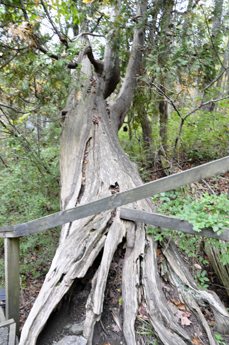
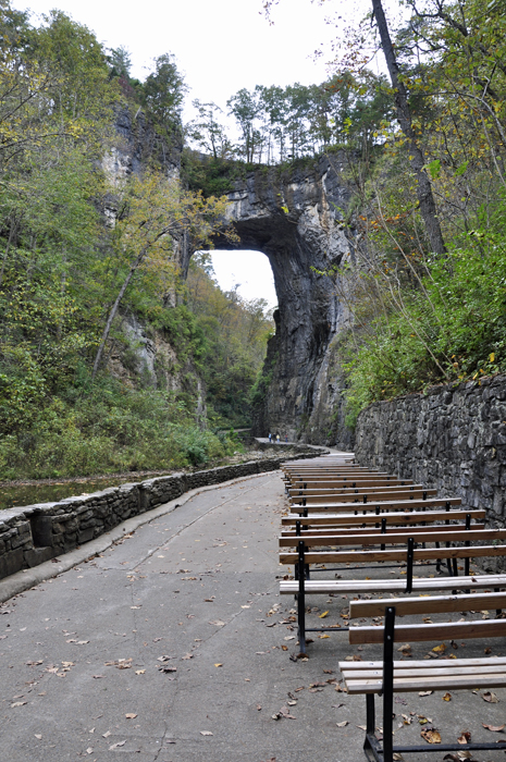
Below: The two RV Gypsies walked down the
137 steps to the Natural Bridge. (There was also a free shuttle bus
for people who do not wish to use the stairs.) The two RV Gypsies stopped
to check out a large tree that was partially laying on the stairs, yet
still living. They also admired the beauty of Cascade Creek and moss
covered rocks alongside the staircase. |
|
|
| |
|
|
|
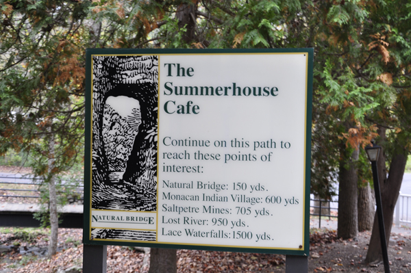
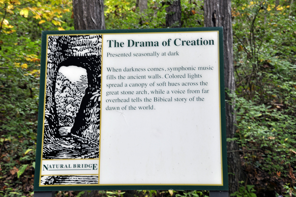
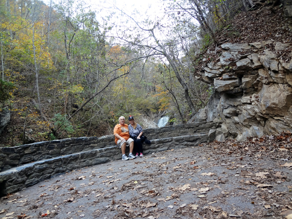
Below: The Natural Bridge
had benches along the trail for people to enjoy the evening light presentation;
colored lighting effects with high fidelity sound called Drama of Creation.
The two RV Gypsies did not stay long enough to see the light presentation.
Maybe they will stay long enough the next time they visit. (This was
their second visit to here already). |
|
|
|
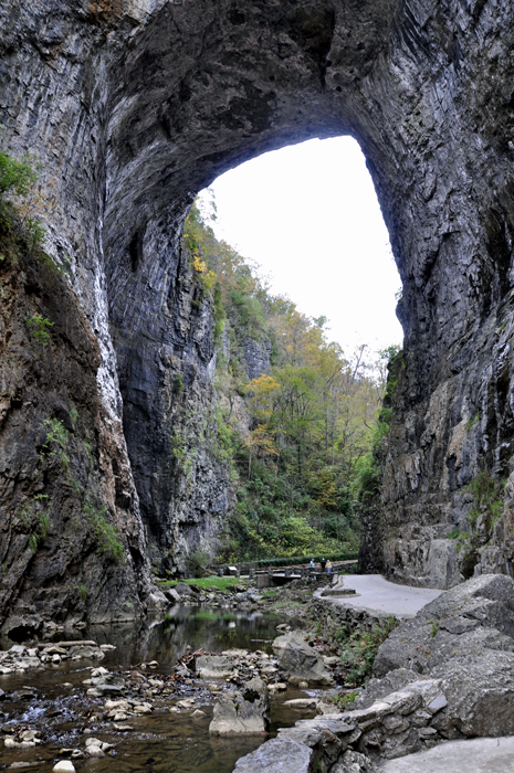
Below: The layers of rock
under the bridge are flat lying. Looking upstream and downstream, the
layers are inclined toward the bridge. The Bridge is at the center of
a downward fold, a syncline formed 200-plus million years ago. George
Washington's initials are carved into the rock, but they are almost
impossible to find, and distinguish. |
|
|
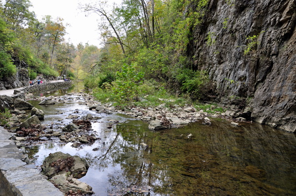
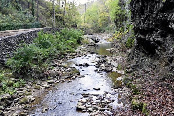
Below: After walking under
The Natural Bridge, the two RV Gypsies walked the beautiful and serene
Cedar Creek Trail to the Monacan Indian Village and Lace Falls. (They
did not photograph the Indian Village.) |
|
|
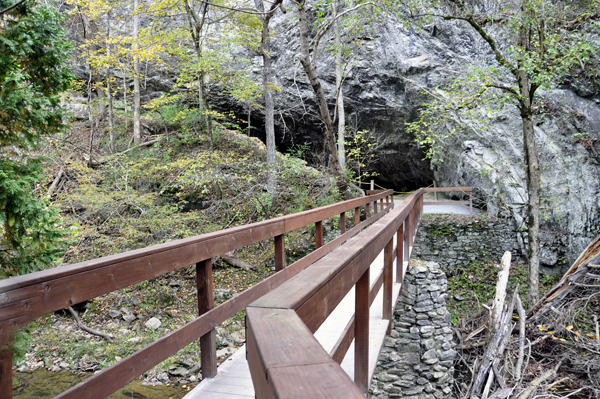
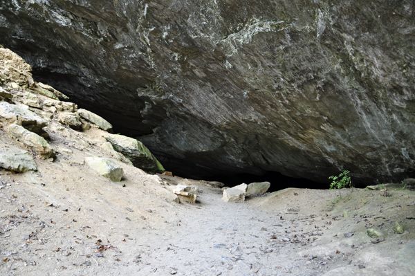
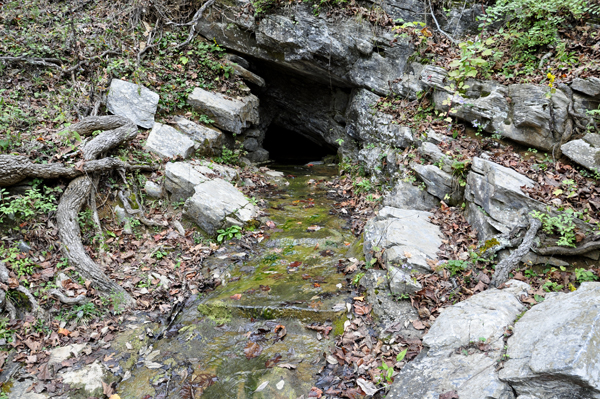
Below: A short bridge leading
to Saltpeter Cave. The cave was roped off because it was too dangerous
to enter the cave. |
|
|
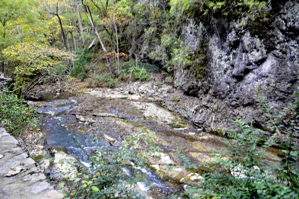
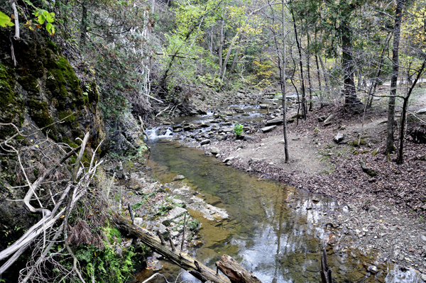
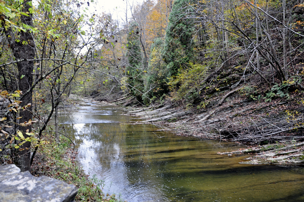
Below: View of the river
stream from each side of the bridge to Saltpeter Cave. |
 |
 |
|

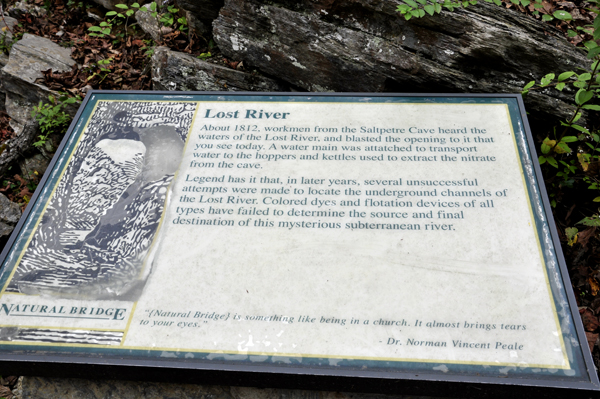
Below: The Lost River sign and photo of The Lost River as taken from
a wooden bridge that goes over the Lost River. The wooden bridge had
railings to prevent people from going down by the Lost River. In times
past, water was transported through pipes to the kettles used to extract
Nitrate from Saltpeter Cave. This sign was not here the last time that
the two RV Gypsies came here.
|
|
|
|
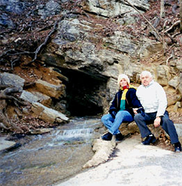
FLASHBACK:
 Below is
a photo of the two RV Gypsies sitting beside the Lost River in the year
2001. At that time there was not a pathway with a wooden bridge and
railings preventing people from sitting near the stream of the Lost
River. None of the signs on this page existed either. The two RV Gypsies
do not remember the formal trail that exists now, and did not know about
Lace Falls when they were here in 2001. Below is
a photo of the two RV Gypsies sitting beside the Lost River in the year
2001. At that time there was not a pathway with a wooden bridge and
railings preventing people from sitting near the stream of the Lost
River. None of the signs on this page existed either. The two RV Gypsies
do not remember the formal trail that exists now, and did not know about
Lace Falls when they were here in 2001. |
|
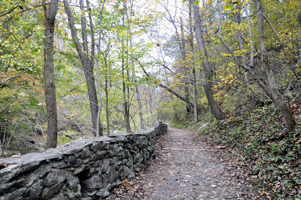
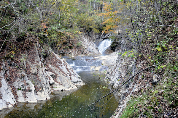
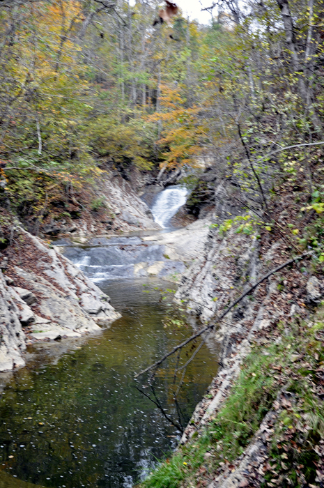
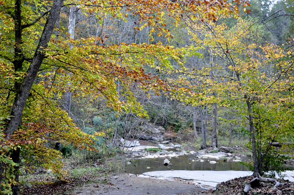
Below: The trail to Lace Waterfalls at the Natural Bridge
|
|
|
|
|
|
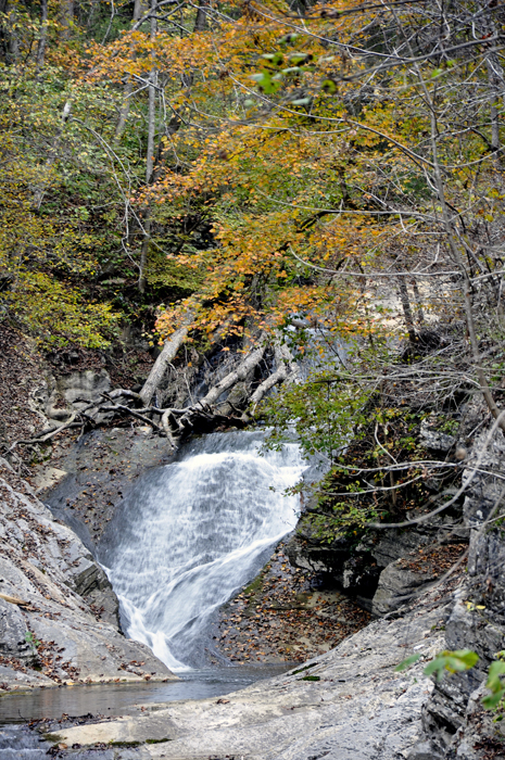
Below: The two RV Gypsies
at Lace Falls |
|
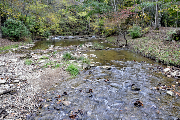
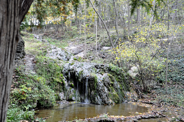
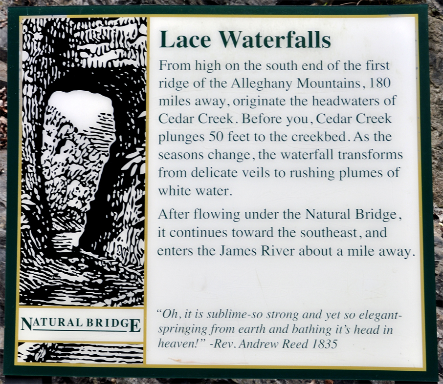
Below: View of the river
by Lace Falls |
|
|


 If you have already seen all of the sites in Virginia, please continue
on to
If you have already seen all of the sites in Virginia, please continue
on to 


