  |
Lee and Karen Duquette,
The two RV Gypsies
at Thomaston Dam in Connecticut
October 3, 2013 |
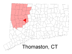
The town, originally part of Plymouth,
Connecticut, and referred to as 'Plymouth Hollow' was first
settled by Henry Cook around 1728 - ("the soldier in the wilderness,"
1683-1750)
 The town is known for clock making, which started in 1803, when Eli Terry established a factory in the town. Mr. Terry brought mass production to the clock making industry, helping to reduce the cost of clocks. He introduced and patented the shelf clock in 1814, which reduced the cost of a clock from $25 to $5. His clocks were sold throughout the US. The town was incorporated in its own right and under the name "Thomaston" in 1875. The name derives from Seth Thomas, the early clock maker, who established a factory in town in 1812. The Seth Thomas clock factory building still exists; however, the clock making industry has long since left the state as well as the country. The town is known for clock making, which started in 1803, when Eli Terry established a factory in the town. Mr. Terry brought mass production to the clock making industry, helping to reduce the cost of clocks. He introduced and patented the shelf clock in 1814, which reduced the cost of a clock from $25 to $5. His clocks were sold throughout the US. The town was incorporated in its own right and under the name "Thomaston" in 1875. The name derives from Seth Thomas, the early clock maker, who established a factory in town in 1812. The Seth Thomas clock factory building still exists; however, the clock making industry has long since left the state as well as the country.
|
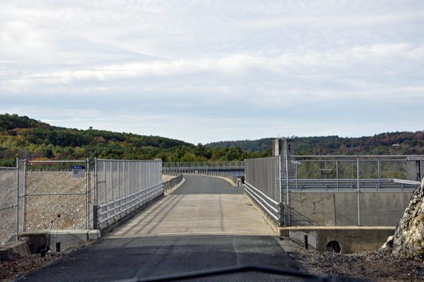
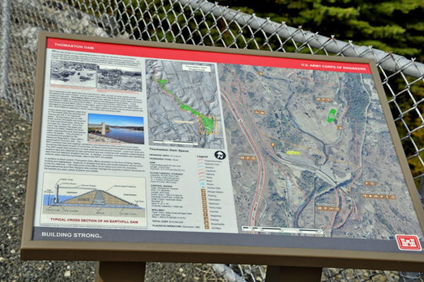
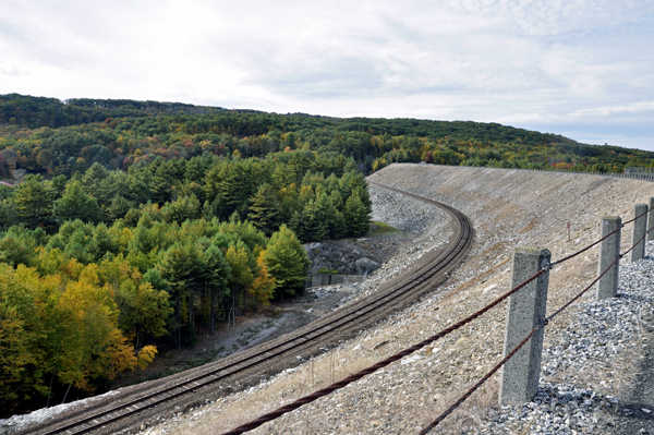
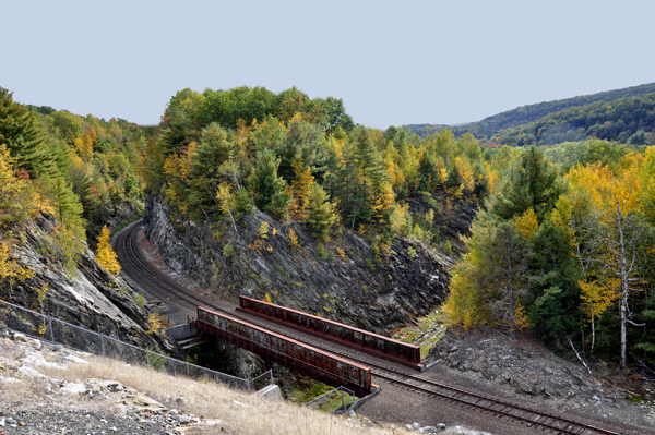
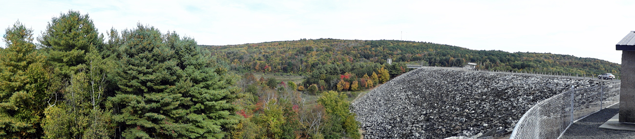
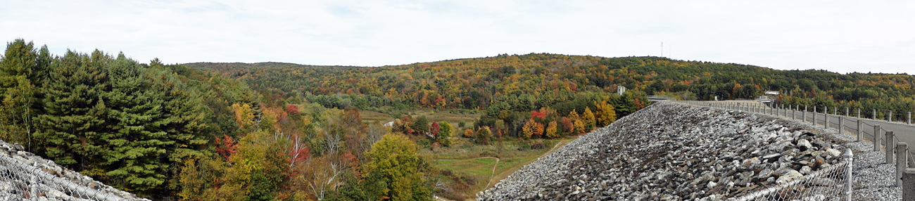
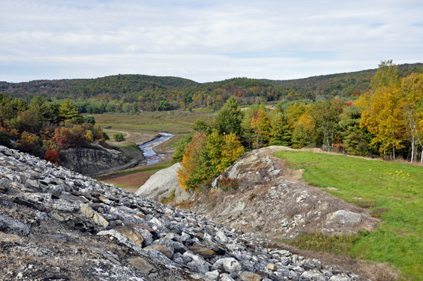
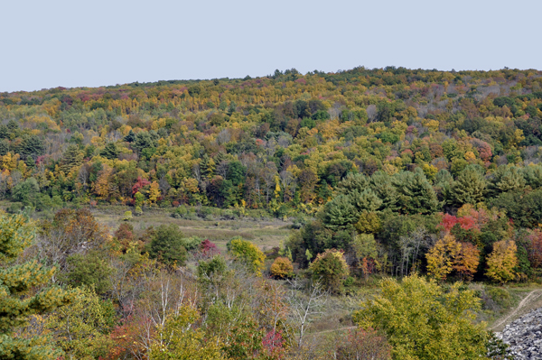
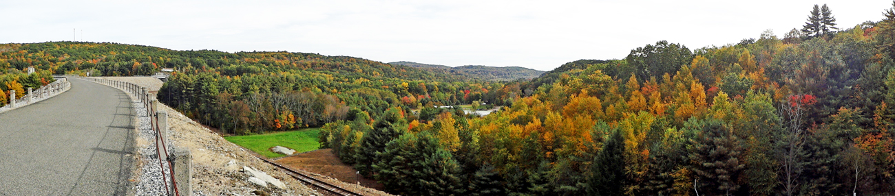
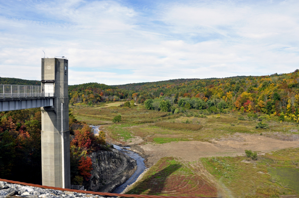
Thomaston Dam is located on the Naugatuck River in Thomaston, Connecticut, and is a part of a network of flood control dams and local protection projects built by the U.S. Army Corps of Engineers in the Naugatuck River Basin. The dam was constructed at a cost of $14.2 million and was completed in 1960 in response to the destructive flood of 1955. Thomaston Dam can store up to 13.7 billion gallons of water for flood risk management purposes.
The Reservoir Regulation Team (RRT) is the "nerve center" for the New England flood control dams such as Thomaston Dam. Using radio and satellite communications, RRT constantly monitors river levels and weather conditions that influence flood control decisions.
Corps personnel, in conjunction with RRT, regulate the amount of water released downstream by raising or lowering the two 5'8"X 10' gates located in the control tower at the dam. In a time of high water, the gates are lowered in order to hold back the water, only to be released when downstream river conditions begin to recede. The Reservoir Control Center provides information about river flows, dam operations, snow depths, recreational water releases, and more. |
| Above quote from http://www.nae.usace.army.mil/Missions/Recreation/ThomastonDam.aspx |


 If you have already seen all of the sites in Connecticut, please continue
on to
If you have already seen all of the sites in Connecticut, please continue
on to 


