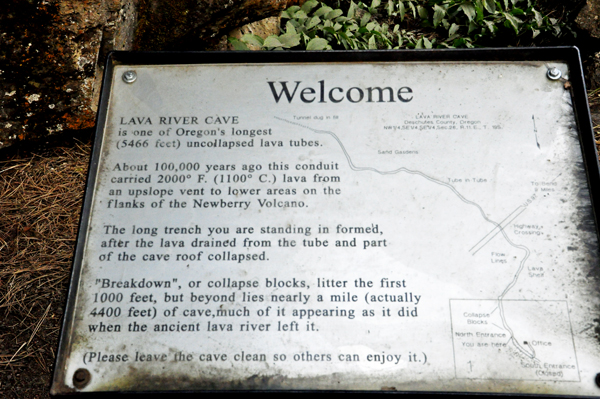
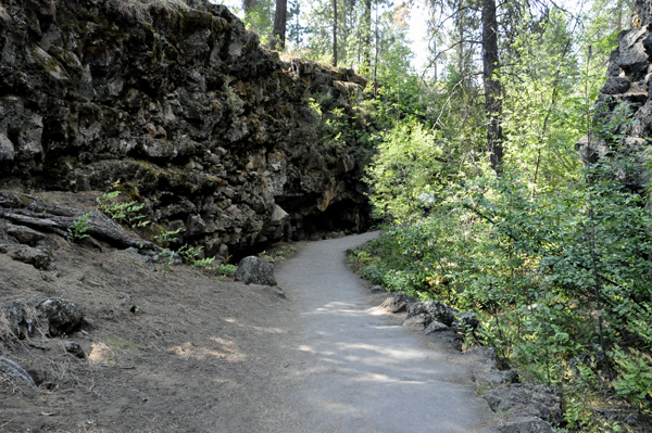
The Lava River Cave is located 12 miles south of Bend on the east side of Highway 97. It is part of the Newberry National Volcanic Monument, which is managed by the Forest Service as part of the Deschutes National Forest. The cave is an excellent example of a lava tube. At 5,211 feet in length, the northwest section of the cave is the longest continuous lava tube in Oregon. While the cave’s discovery in 1889 was officially credited to a pioneer hunter, the presence of obsidian flakes near the cave has led archaeologists to conclude that Native Americans knew about the cave long before settlers arrived in central Oregon.
|
|
Geology
The eruption which formed this Lava River Cave occurred about 80,000 years ago. The source is believed to be near Mokst Butte southeast of the entrance. The same volcanic flow that formed the cave underlies much of the Bend area and almost reaches Redmond, Oregon. However, the specific vent that created the cave has been buried by several younger flows.
The Lava River Cave was created by lava flowing downhill from a volcanic vent. The lava flowed northwest from the vent toward the Deschutes River. The flow began as a river of lava flowing in an open channel. Eventually, a lava crust solidified over the top of the flowing lava. This formed a roof over the river, enclosing it in a lava tunnel or tube. When the eruption from the vent stopped, the lava drained out of the tube leaving a lava tube cave behind. After the cave cooled, a section of its roof collapsed. This collapsed section provided the entrance to both the uphill (southeast) and downhill (northwest) cave sections.
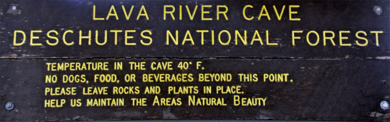
The area around the Lava River Cave receives about 18 inches of precipitation per year. Over the centuries, water from rainfall and snow melt has seeped down through the soil and cracks in the cave roof depositing sand on the cave floor. Small rivulets of water carry the sand downhill, plugging the far end of the cave with sediment. As a result, no one knows how far the cave actually extends beyond the sand plug. |
Lava River Cave runs in two directions from the entrance cleft. The main section runs gradually downhill 5,211 feet in a northwesterly direction from the entrance, passing under Highway 97. This section of the cave is the longest known un-collapsed lava tube in Oregon. The other section extends 1,560 feet southeast from the entrance. This section runs toward the source of the flow so it has a slight uphill grade. This section is not open to the public because of loose rocks in the ceiling. The mouth of the cave is at an elevation of 4,500 feet above sea level. At its deepest point the cave is 4,350 feet above sea level. |
|
 |
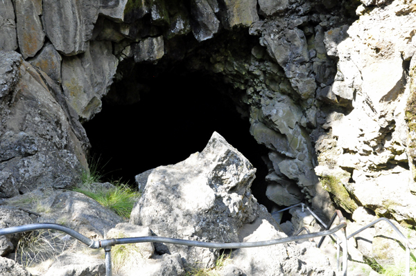
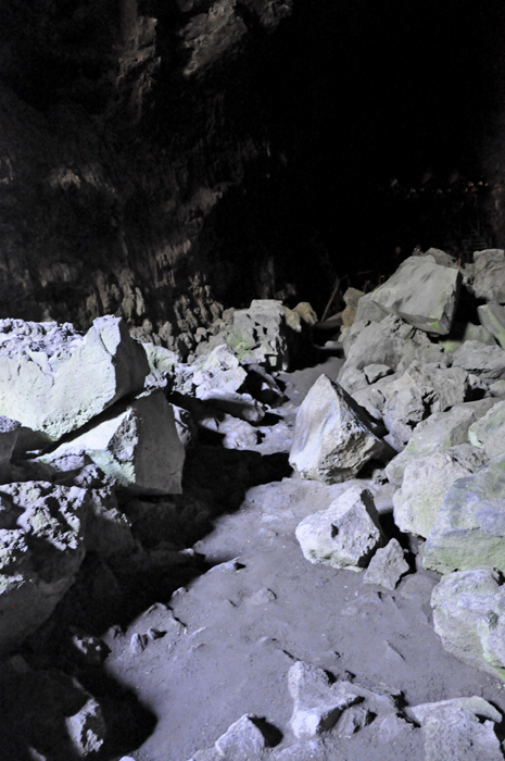
The cave's entrance appears
as a large hole in the ground. At its mouth, the entrance trail drops
suddenly over a jumble of volcanic rocks. This area is known as the
Collapsed Corridor. It is the result of ground water freezing
in rock cracks in the ceiling. Loosened rocks eventually fall. Over
the centuries, the fallen rocks have accumulated into a large boulder
pile. Since freezing temperatures occurs only near the mouth of the
cave, most rock-falls are in this area. To get down the rock pile, Lee
and Karen Duquette had to descend 126 steps. At the bottom of the stairs
there was a large cool chamber where winter ice fills cracks in the
floor and ice stalactites often cling to the ceiling until June. |
|
|
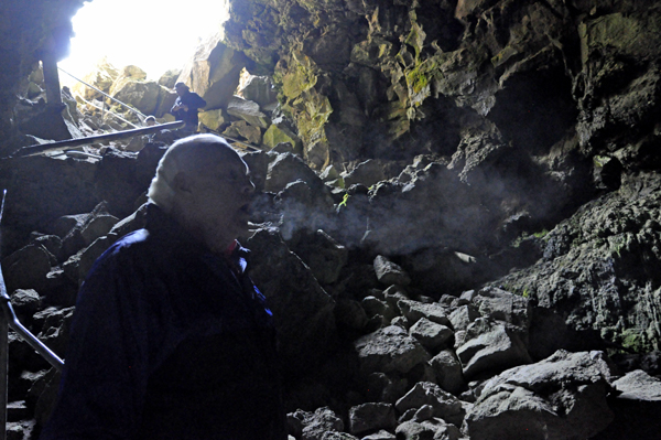
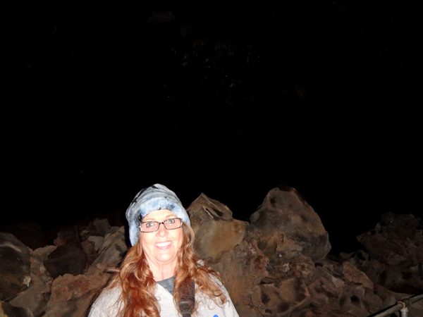
Below: Lee and Karen Duquette
were just barely inside Lava River Cave and Lee Duquette could already
see his breath. |
|
WHAT TO EXPECT INSIDE THE CAVE: After a short walk, the ceiling reaches a height of 58 feet. At this point, the width of the cave is 50 feet. This massive volcanic archway is called Echo Hall. The smooth walls are remarkably symmetrical so sounds echo in the huge chamber. In this section, remnants of the ancient lava flow’s current can be seen molded in the tunnel walls. They appear as rounded over-hanging shelves and lateral markings etched in the walls. The end of this hall is about 1,500 feet into the cave. At that point, the cave passes under Highway 97. The underground crossing is marked by a small sign post.
Beyond the Highway 97 marker, visitors enter an area called Low Bridge Lane. In this area, the ceiling drops to less than six feet. This section of the cave was created after most of the molten lava had drained out of the cave leaving hot gases trapped in the interior of the tube. These gases re-heated the lava tube causing the tunnel walls to re-melt. As re-melted rocks cooled, the walls were left with a shiny, glazed surface. There are also volcanic stalactites in this area of the cave. These formations are sometimes called lavacicles. They are found in two forms. Some are hollow cylindrically shaped soda straws, formed by escaping gases. The others are cone shaped drip pendants formed when re-melted lava dripped from the ceiling. At the end of Low Bridge area, the tube begins to narrow and the cave is divided into two tunnels with intermittent connecting passages. This is the Two Tube Tunnel section of the cave. Both tubes were probably active lava channels at the same time; however, the upper channel eventually drained into the lower tube as the flow subsided.
One of the most unique parts of the cave is the Sand Garden, located about 3,000 feet from the entrance. Here the floor of the cave is covered with sand. The sand was carried into the cave by dripping water. The sand is fine volcanic ash from the eruption of Mount Mazama 6,600 years ago. Rain and melting snow carried the ash down from the surface through cracks in the rock and deposited it on the floor of the cave one grain at a time. Occasionally, enough water leaks into the cave to create a pool. This allows the sand to spread out across the floor. At the Sand Garden, the constant dripping of water has carved spires and pinnacles in the sand. Since it takes hundreds of years to build these delicate sand forms, the Forest Service has fenced off the garden area to protect it. The 2,211 feet of cave trail beyond the Sand Garden has a sandy floor. Along the way, the ceiling descends lower and lower until the sand fills the cave. The last 310 feet of the cave was dug out of the sand plug by two men in the 1930s. Exploring this section of the cave requires visitors to crawl on hands and knees for much of the distance to the cave's end, and usually takes at least thirty minutes. |
|
|
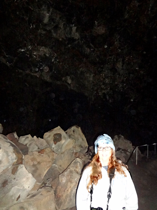
Below: Karen
Duquette inside Lava River Cave |
|
|
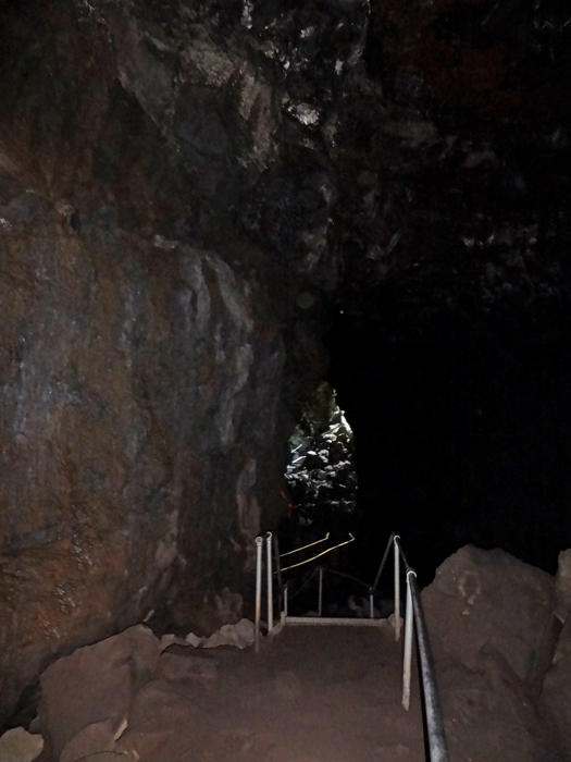
Below: Stairs in the very dark and cold Lava River Cave |
|
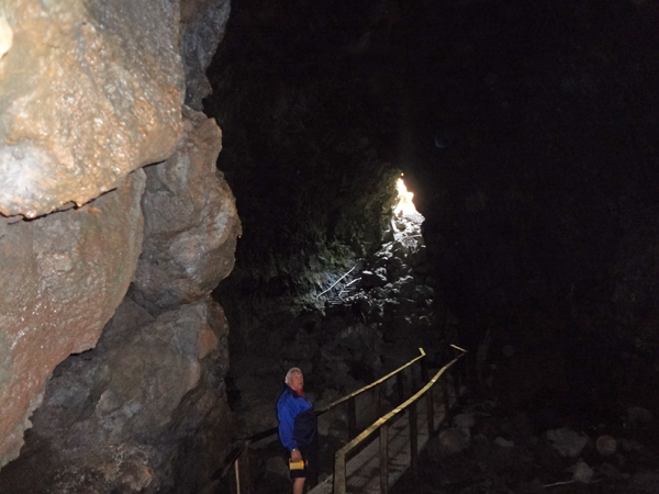
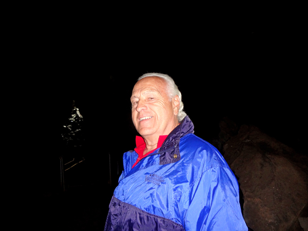
Below: Lee Duquette inside
Lava River Cave |
|
|
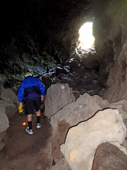
Karen Duquette's
camera did not continue to work very well inside the cave, so very few
photos were taken. Below is Lee Duquette exiting the Lava River Cave.
The two RV Gypsies did not walk the entire cave because FREE 30 minute
time passes were issued on a first come, first served basis to drive
up Lava Butte, and it was time for the two RV Gypsies to head that way.
Scroll down for the photos of Lava Butte and more. |
|


 If you have already seen all of the 32 sites in Oregon,


