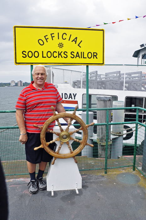
Lee
and Karen Duquette,
The two RV Gypsies: Full-Time RVers
enjoyed a boat ride
on the St. Mary's River through the Soo Locks
June 22, 2013 |
|
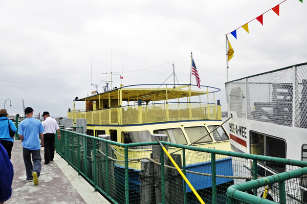
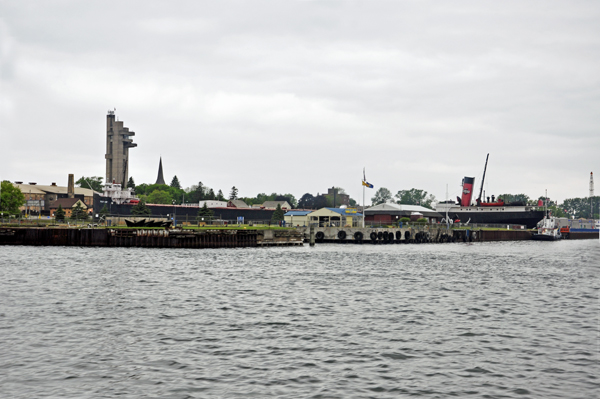
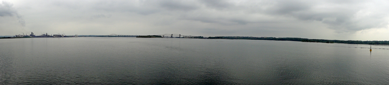
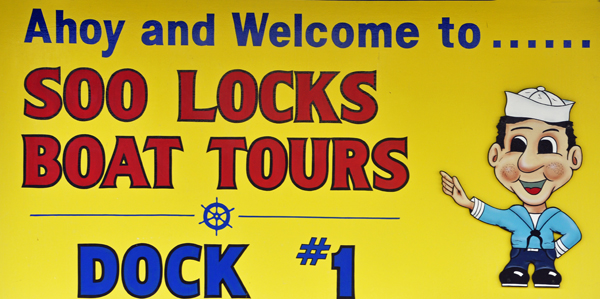
The famous Soo Locks is the
largest waterway traffic system in the world. The two RV Gypsies, Lee
and Karen Duquette, took the ride and experienced the upbound and downbound
lockage between Lake Huron and Lake Superior through the Soo Locks.
During the tour, a live narration explained all the points of interest
along the waterfronts of Michigan USA and Canada. |
|
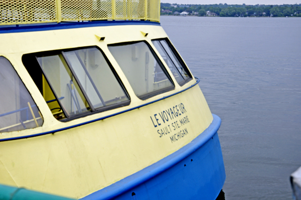
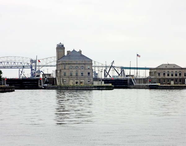
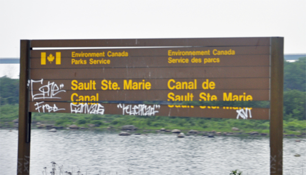
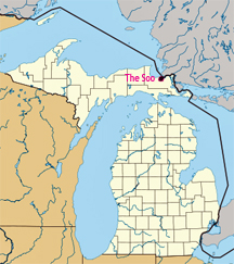
The Soo Locks
(sometimes spelled Sault Locks, but pronounced "soo")
are a set of parallel locks which enable ships to travel between Lake
Superior and the lower Great Lakes. They are located on the St. Marys
River between Lake Superior and Lake Huron, between the Upper Peninsula
of the US state of Michigan and the Canadian province of Ontario. They
bypass the rapids of the river, where the water falls 21 feet.
The locks pass an average of 10,000 ships per year, despite being
closed during the winter from January through March, when ice shuts
down shipping on the Great Lakes. The winter closure period is used
to inspect and maintain the locks.
The locks share a name (usually shortened and anglicized as Soo)
with the two cities named Sault Ste. Marie, in Ontario and in Michigan,
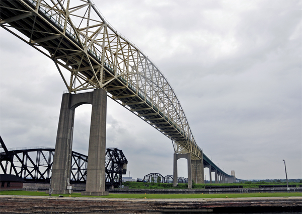
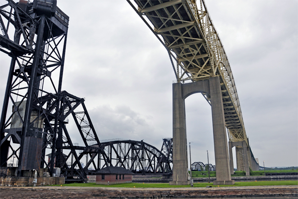
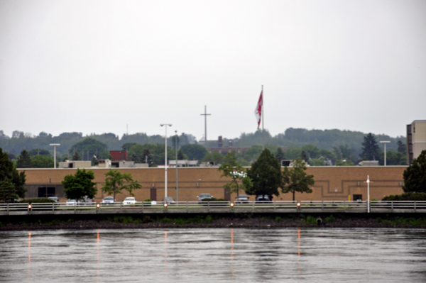
located on either side of the St. Marys River. The Sault Ste. Marie
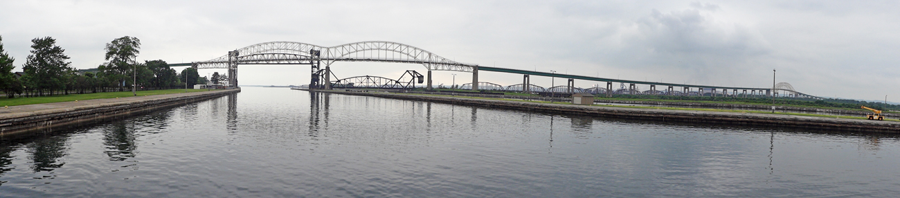
International Bridge between the United States and Canada permits vehicular
traffic to pass over the locks. A railroad bridge crosses the St. Marys
River just upstream of the highway bridge. |
|
|
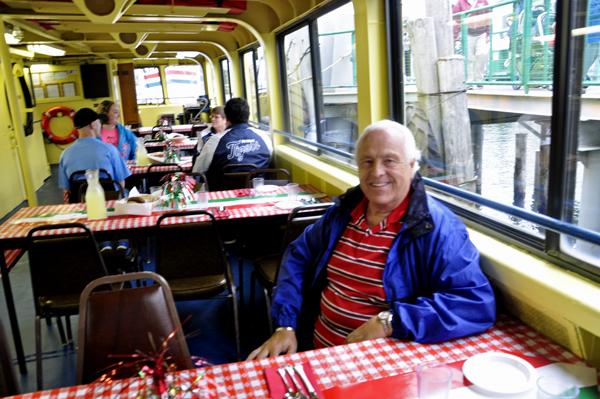
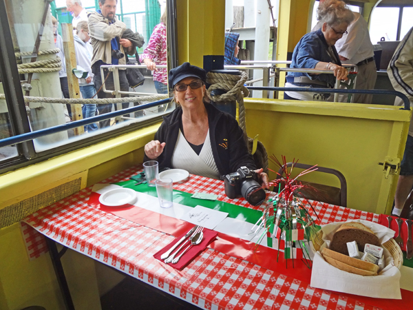
Below: The two RV Gypsies,
Lee and Karen Duquette, were hungry and looking forward to the Italian
dinner buffet. Unfortunately, they did NOT think the food was very good,
except for the desert, which was ok, even though Karen Duquette is not
a big desert person. |
|
|
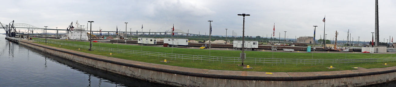
Below: The length of the canal
from the headgates (intake) to the power house is approximately 11,850
feet. The canal varies in width from 200 to 220 feet at water level
and is approximately 24 feet in depth. The water velocity varies for
various reasons but, at times, it can be up to 7 mph. The entrance to
the canal is located at the eastern end of Ashmun Bay and is controlled
by four steel headgates. The upper quarter of the canal was excavated
from rock while the remainder was dug into the earth and given a timber
lining. The canal is designed to carry 30,000 cubic feet of water per
second. |
|
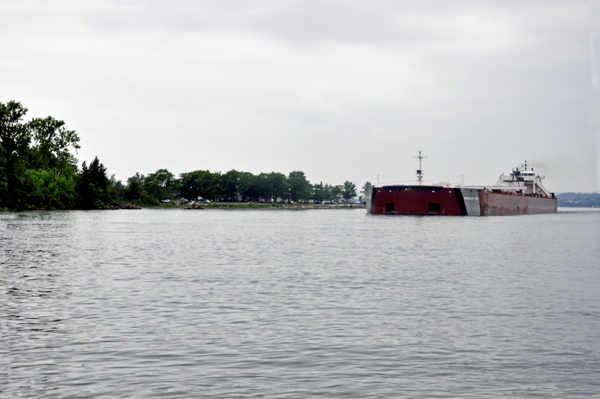
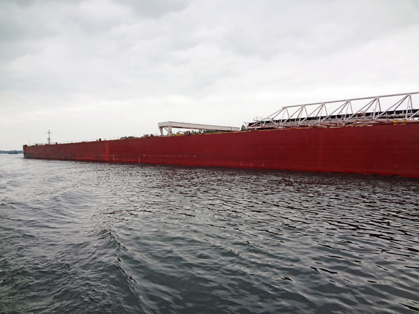
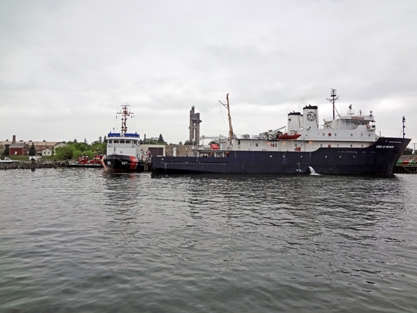
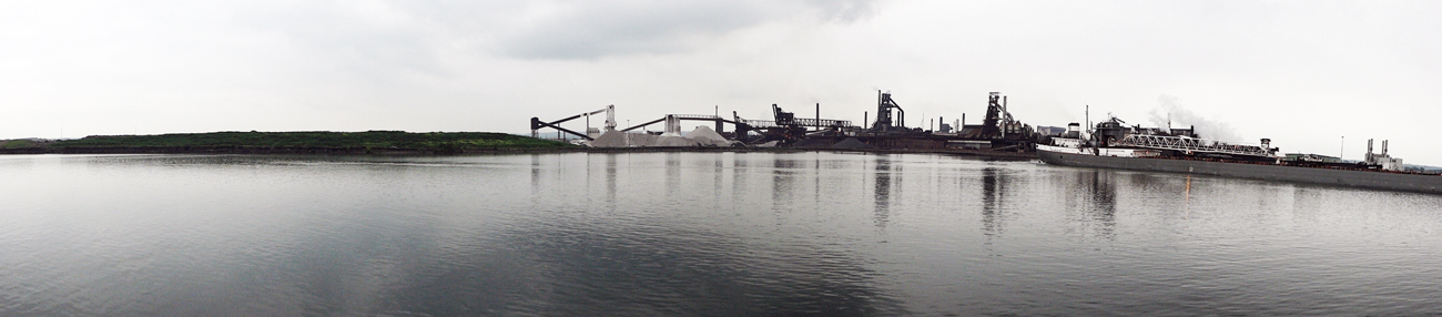
Below: A large passing ship
"Presque Isle" |
|
|
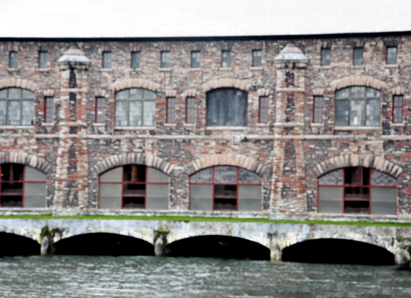
Below: The tour passed the
Hydro-Electric Power Plant. The Edison Sault Power Canal
supplies the Saint Marys Falls Hydropower Plant, a Cloverland Electric
Cooperative hydroelectric plant, in Sault Ste. Marie, Michigan. Excavation
of the power canal began in September 1898 and was completed in June
1902. The canal and hydroelectric complex were named a Historic Civil
Engineering Landmark in 1983. |
|
|
|
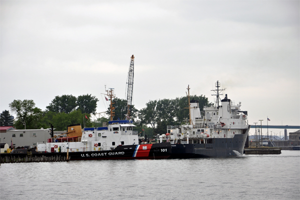
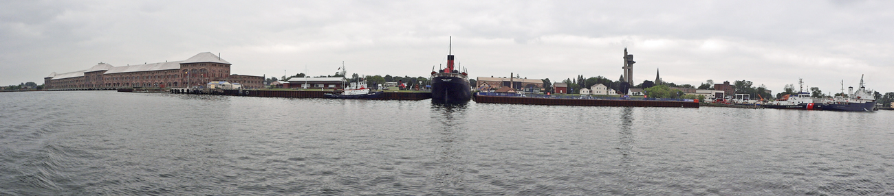
Below: Passing U.S. Coast
Guard Ships |
|
|
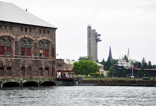
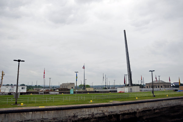
Passing the Tower of History
(linked below) |
Approaching the Locks |
|
|
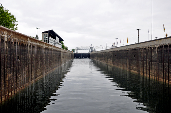
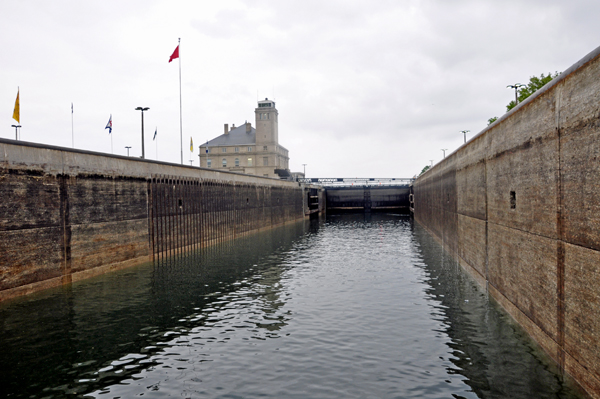
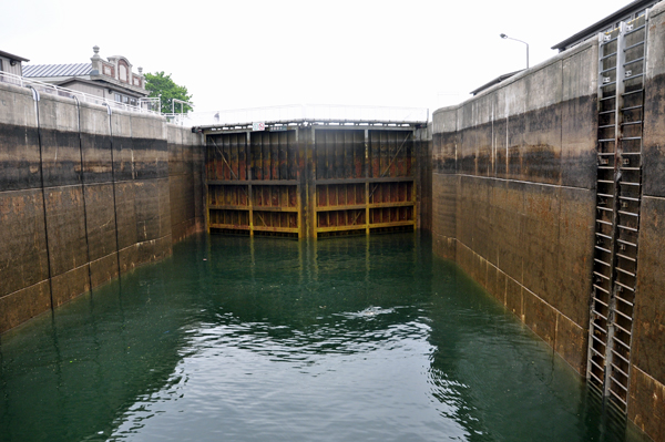
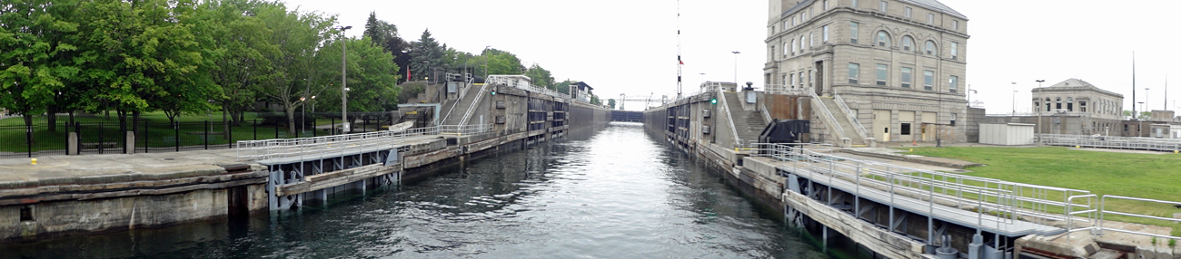
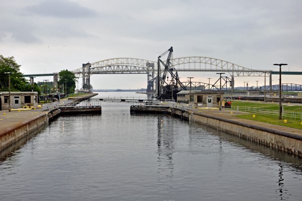
Below: Four huge concrete
navigation locks dominate the Soo Locks complex. The longest and widest
is 1,200 feet long and 210 feet wide. Only three of the huge chambers
are regularly used to move ships loaded with iron ore, coal, stone,
salt ;grain, fuels and other bulk cargo along with an occasional shipload
of manufactured goods between Lake Superior and the lower Great Lakes. |
|
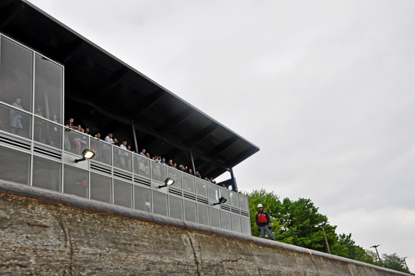
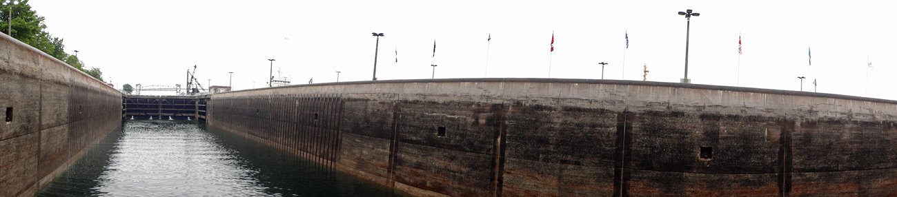
Below: Spectators watching
the boats go through the locks |
|
|
|
|
|
|
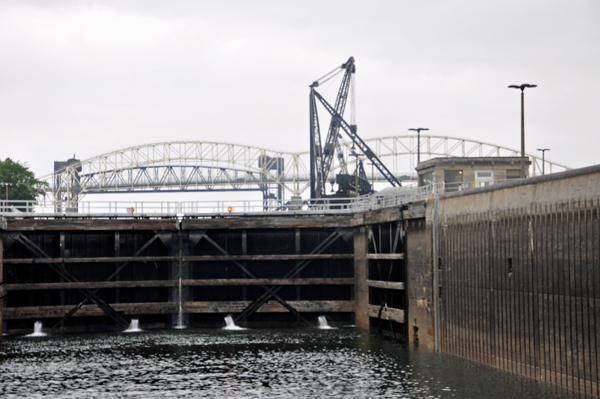
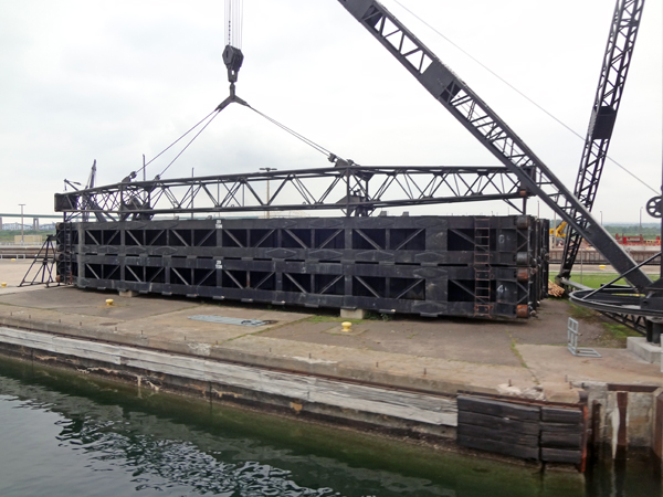
Below: The
gate goes up on the lock that is parallel to the lock that Lee and Karen
Duquette are in. |
|
|
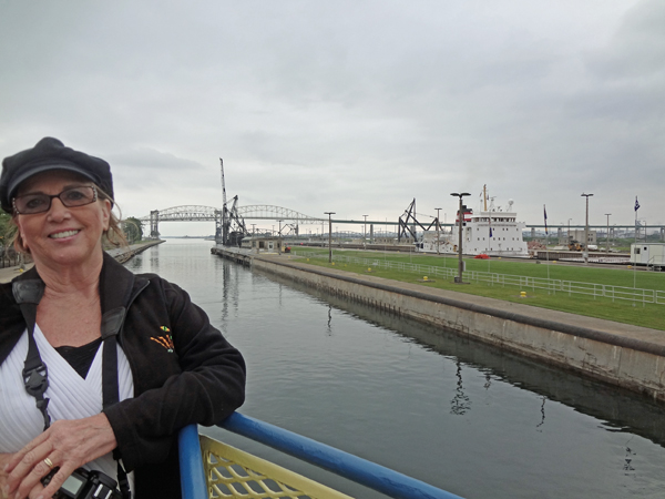
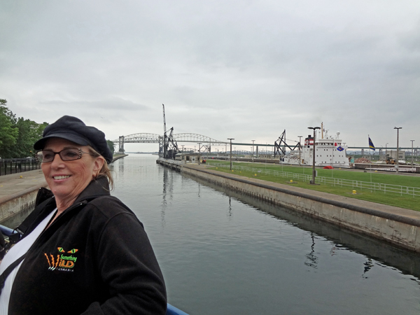
Below: Karen Duquette enjoying
the boat trip through the Soo Locks |
|
|
|
|
|
Below: Cruising underneath
the International Bridge. |
|
|
|

|
|
|
|
|
Note: The two RV Gypsies,
Lee and Karen Duquette, have also been through the Erie Canal Locks
in Lockport NY, and they visited the Hiram M Chittenden Locks in Seattle,
Washington. They can be found on this website by choosing
TOC-L and scrolling down to Locks.
|

 AFTER
you have seen all three (3) sections above, please continue on to
AFTER
you have seen all three (3) sections above, please continue on to 


