The
Two RV Gypsies: Full-Time RVers
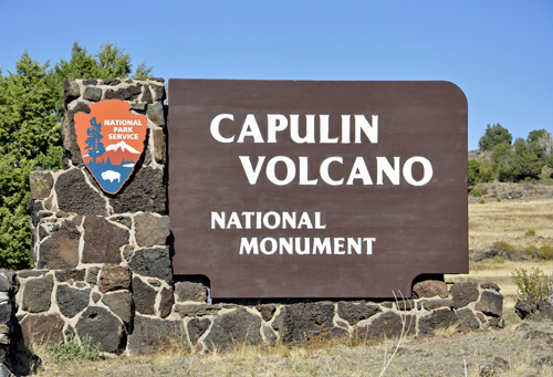
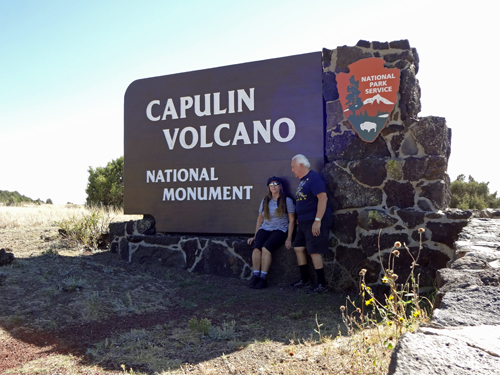
at Capulin Volcano National
Monument
46 Volcano Highway
Capulin, New Mexico 88414
October 3, 2012 |
|
|
Capulin Volcano National Monument, located in northeastern New Mexico, was designated a U.S. National Monument on August 9, 1916 "to preserve a striking example of recent extinct volcanoes". On September 5, 1962, Congress amended the proclamation to "preserve the scenic and scientific integrity of Capulin Mountain National Monument." It is an example of an extinct cinder cone volcano that is part of the Raton-Clayton Volcanic Field. A paved road spirals around the volcano and visitors can drive up to a parking lot at the rim. Hiking trails circle the rim as well as lead down into the mouth of the volcano.
|
|
|
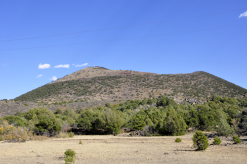
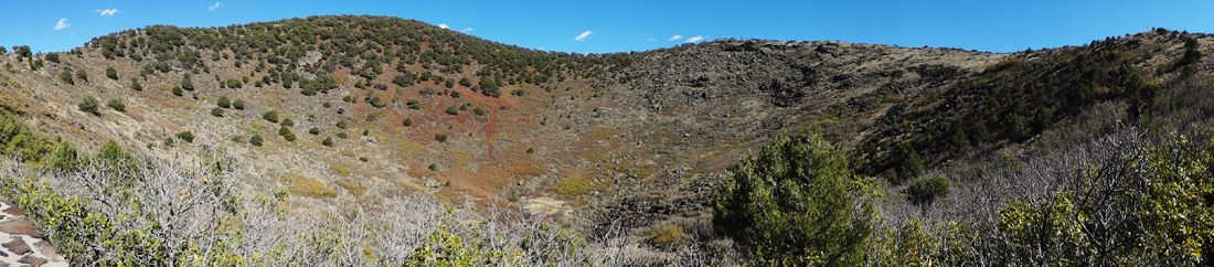
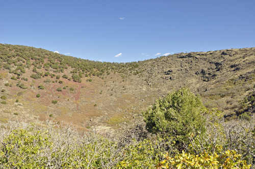
Below: Capulin Volcano rises steeply from
the surrounding grassland plains to an elevation of 8,182 feet above
sea level. The irregular rim of the crater is about a mile in circumference
and the crater about 400 feet deep. It is big. It is nearly a mile across
at its base, has a relief of nearly 1,000 feet, and a summit crater
400 feet deep, making it one of the larger examples of this type of
volcano. |
|
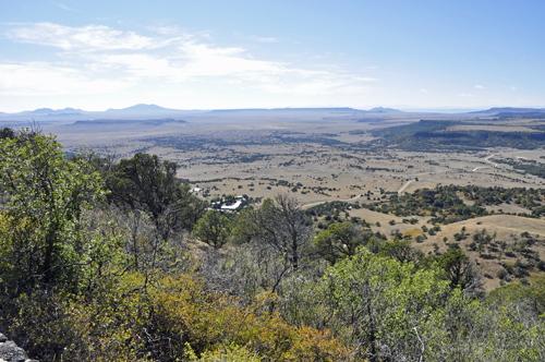
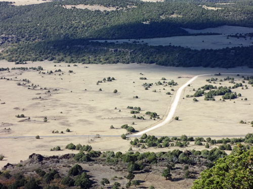
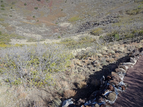
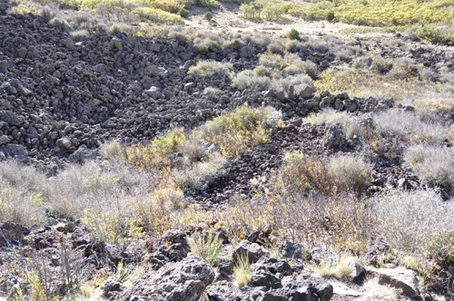
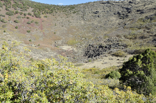
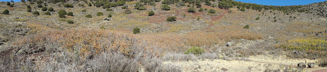
Below: The view from Capulin Volcano parking
lot. The landmarks that the two RV Gypsies saw across northeastern New
Mexico are the features of the volcanic field. The flat topped mesas
are ancient lava flows. The Mountains are cinder cones, shield volcanoes,
tuff rings, and volcanic domes. |
|
|
|
|
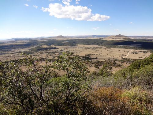
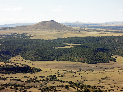
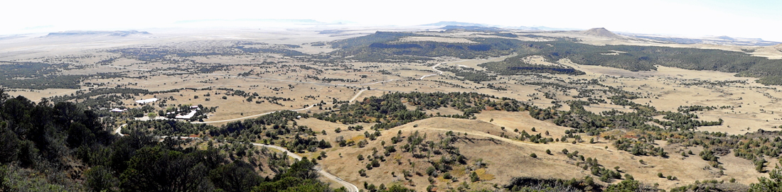
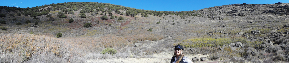
Below: This region of volcanic activity
is the Raton-Clayton Volcanic Field. It has been active periodically,
beginning at the western edge of the field with the Raton Phase from
3 to 9 million years ago. The Clayton Phase erupted between 2 and 3
million years ago at the eastern edge of the field. The Capulin Phase
began about 1 million years ago at the center of the field. Capulin
Volcano erupted approximately 60,000 years ago, when mammoths and giant
bison roamed these plains. |
|
|
|
|
|
|
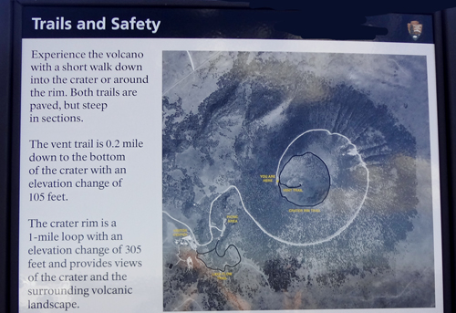
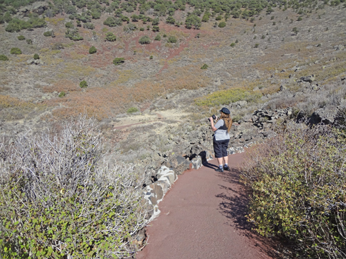
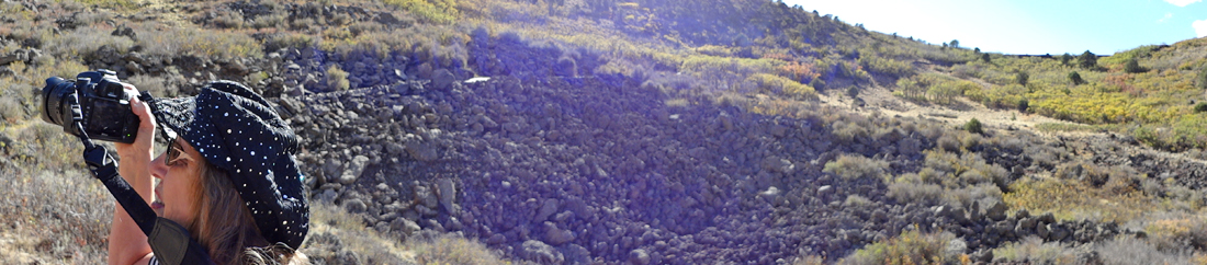
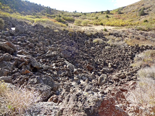
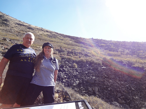
Below: The two
RV Gypsies hiked the Vent Trail that is only 0.2 miles
long and goes down to the bottom of the crater to the vent, giving the
two RV Gypsies an unusual opportunity to see the inside of a volcanic
mountain.
(NOTE: Karen Duquette has previously been on a trail all around the
rim of a volcano which provided a great view of the heart of the volcano
while she was on the
big island of Hawaii, AND THE HEART OF THE VOLCANO WAS
STILL HOT, unlike this one). The two RV Gypsies have also seen other
volcanoes and they can be seen by clicking here
and scrolling down to "volcano". But if you use either
of these two links, please remember to return here. |
|
|
|
|
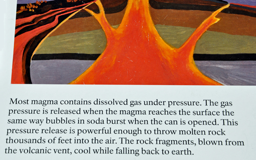
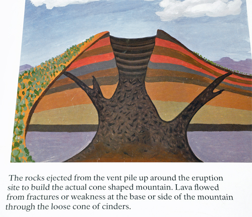
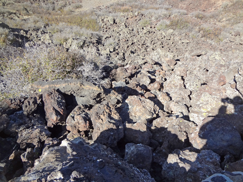
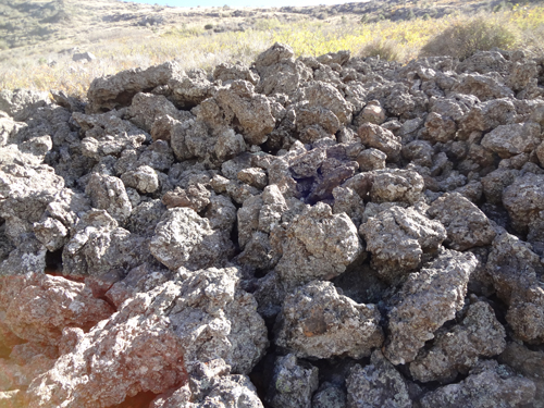
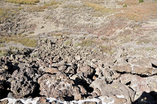
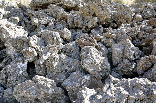
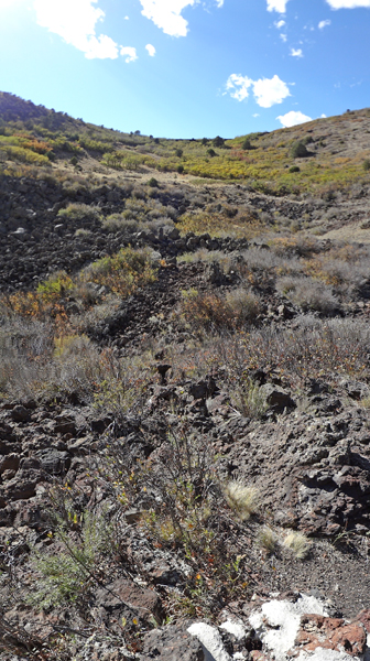
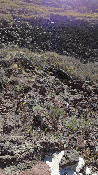
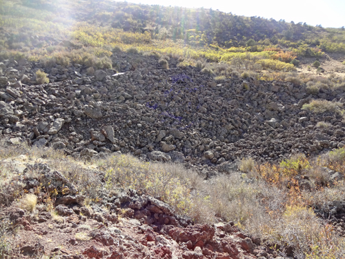
Below: Small rocks (nut size to fist size
solid lava) are called cinders. Cinders are often mined for use in landscaping
and road building. Cinder cones experience a single eruptive period,
and then die. Volcanic bombs are fragments of lava (fist size to car
size) that were partially molten when ejected form the Volcano. Volcanic
ash, cinders, and rocks, blown thousands of feet into the air, blanketed
the landscape as they cooled and fell. Layers of cinders and volcanic
bombs piled up around the vent to build the cone. |
|
|
|
|
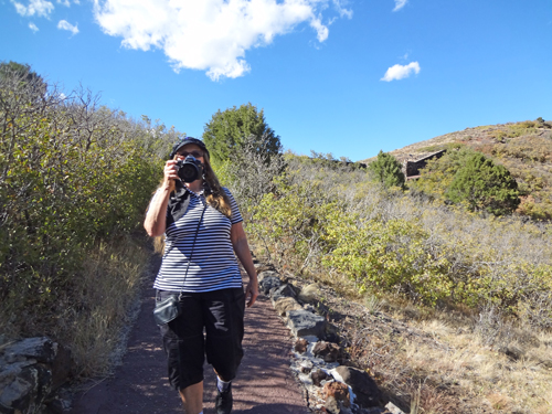
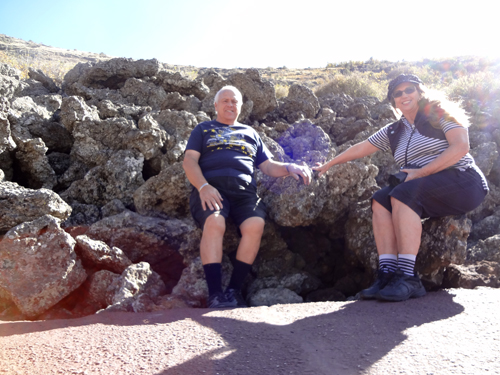
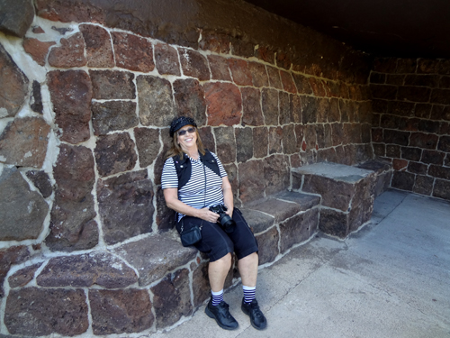
Below: The two RV Gypsies took a rest and
just enjoyed the moment. Time is one of the advantages of being retired
with no permanent home anywhere. No need to rush! |
|
|
|
|
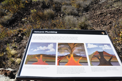
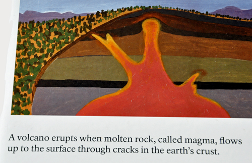
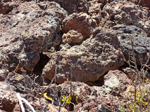
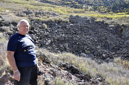
Below: The two RV Gypsies then stood at
the vent of the volcano, the opening in the Earth's surface from which
the volcano erupts (sometimes called the heart of the volcano). The
vent for Capulin has long been PLUGGED by solid lava such as the rocks
shown above. |
|
|
|
|
|
|
|
|
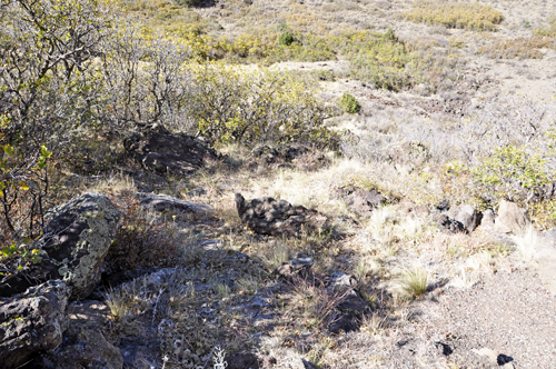
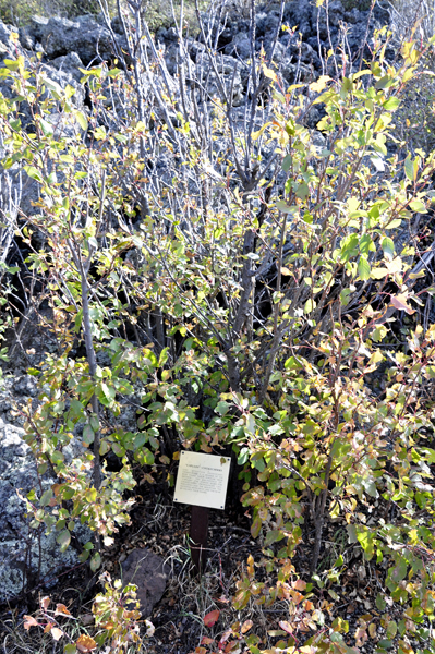
Below: Capulin Chokecherry - like
mountain mahogany, chokecherry is a member of the ROSE family and a
popular place for deer to browse. The abundance of Capulin (the Spanish
word for chokecherry - pronounced Cah-Poo-Leen) gave the mountain, the
National Monument, and the nearby village their names. |
|
|
|
|
|
|
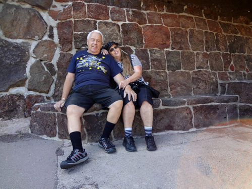
Below: Even though it was a short, easy
trail, it was a bit steep. But OK - you two - stop ACTING like you are
dying, it really was NOT that hard of a trail. |
|
|
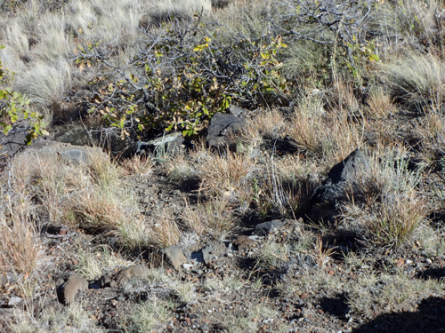
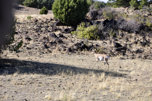
Below: Lots of antelope are seen on the
roads to and from Capulin Volcano. |
|
The two RV Gypsies stayed in the Raton KOA in Raton, New Mexico. But no photos were taken in the campground because this was just a one night stop-over. But, it must be mentioned that the lady in the check-in office was very nice. |


 Continue on in order of travel to Santa Fe, New Mexico


