Lee
and Karen Duquette,
The Two RV Gypsies: Full-Time RVers
at Canyonlands National Park
August 19, 2012 |
|
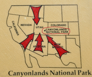
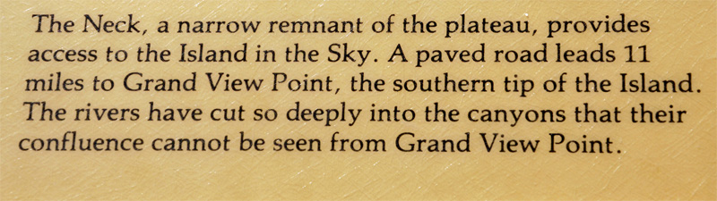
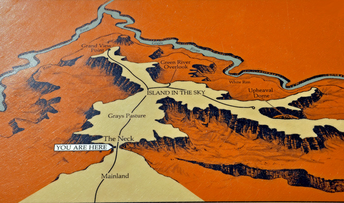
Canyonlands National Park
is located in southeastern Utah near the town of Moab and preserves
a colorful landscape eroded into countless canyons, mesas and buttes
by the Colorado River, the Green River, and their respective tributaries.
The park is divided into four districts: the Island in the Sky,
the Needles, the Maze, and the rivers themselves.
While these areas share a primitive desert atmosphere, each retains
its own character. Two large river canyons are carved into the Colorado
Plateau by the Colorado River and Green River. Author Edward Abbey,
a frequent visitor, described the Canyonlands as "the most
weird, wonderful, magical place on earth? There is nothing else like
it anywhere."
Above quote from Wikipedia, the free encyclopedia
|
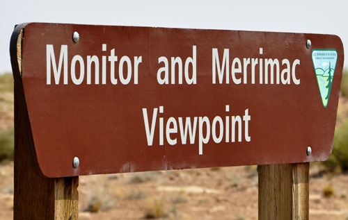
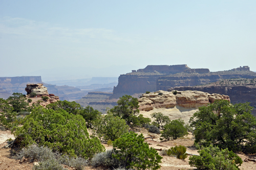
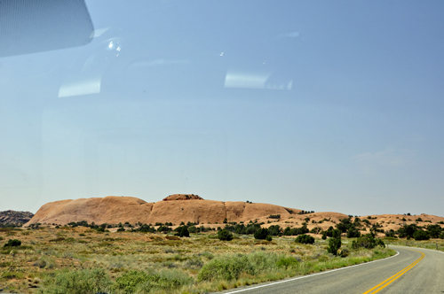
Below: A famous lookout point on the
way to Canyonlands National Park |
|
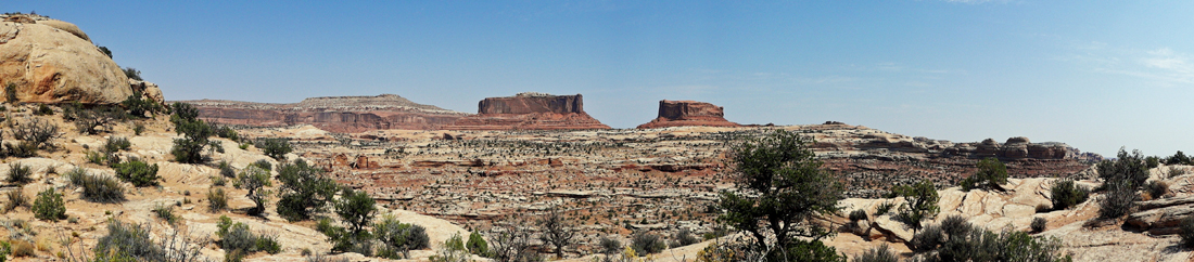
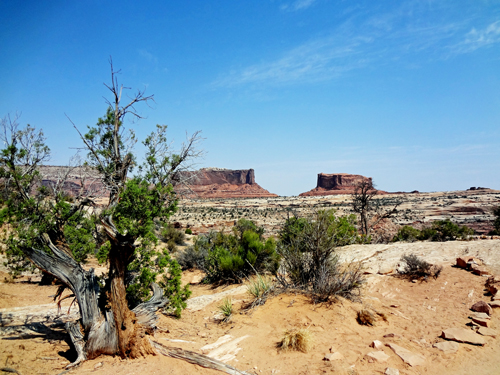
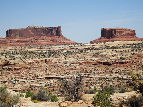
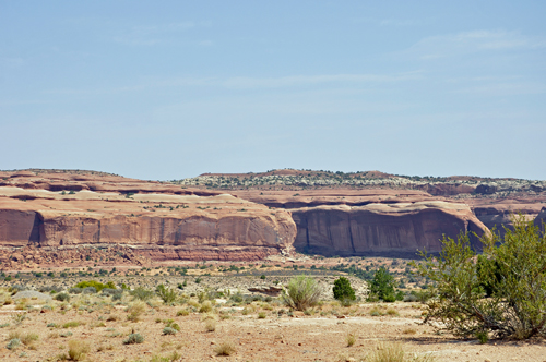
Below is an excellent view of the Monitor
and Merrimac Buttes. These prominent buttes tower 600 feet above their
Navajo Sandstone base. They can be seen from many points along the highway. |
|
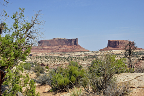
Below: The Monitor and Merrimac Buttes
were named after the Civil War ironclad ships of the same names. The
old ships bear a striking resemblance to these two buttes. The Merrimac
(the large rock on the left) was the Confederate ship, called the Virginia
by the southern forces. The Monitor (on the right) was the Union ship
sent to destroy the Merrimac. The resulting sea battle changed Maritime
warfare forever. |
|
|
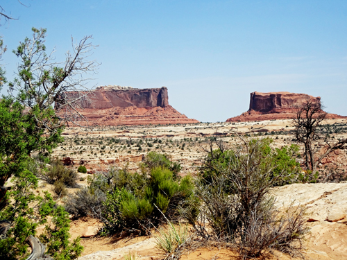
Below: Long after both ships sank to the
sea bottom, their rock counterparts will forever remain locked in perpetual
battle. |
|
|
|
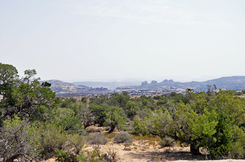
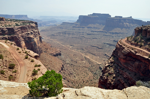
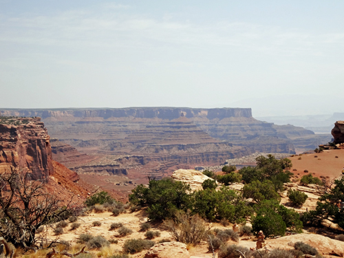
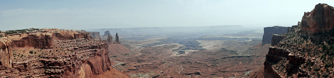
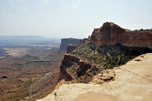
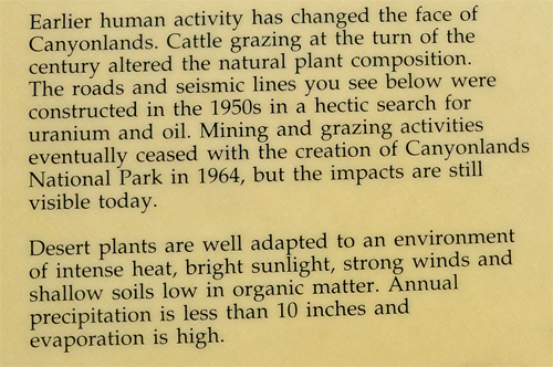
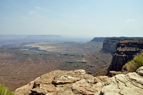
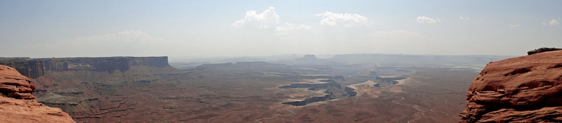
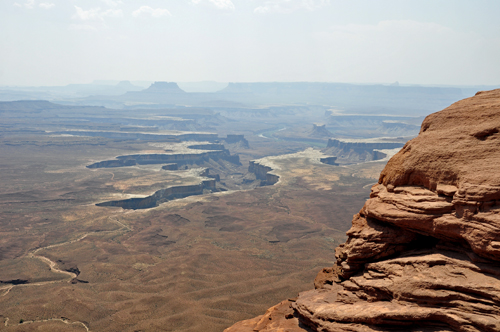
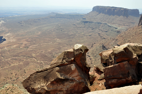
Below: The view below reveals an area of outstanding
natural beauty. To the southeast, the LaSal Mountains reach to heights
exceeding 12,000 feet in elevation. The mountains are flanked by broad
mesas, that break off to reveal the red rock country below.
Moab and Spanish Valley lie at the base of the LaSals,
in the valley created by the Moab Fault. Also running through this
fault is the Colorado River. The river's brown or red color attests
to the ongoing erosion. This color is due to sediments from the surrounding
rocks sloughing off into the river. These sediments are then transported
by the river to downstream locations.
|
|
|
|
|
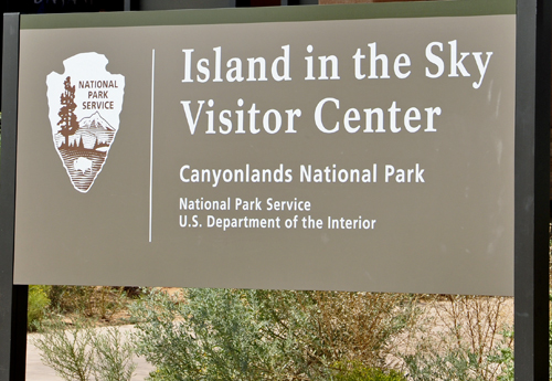
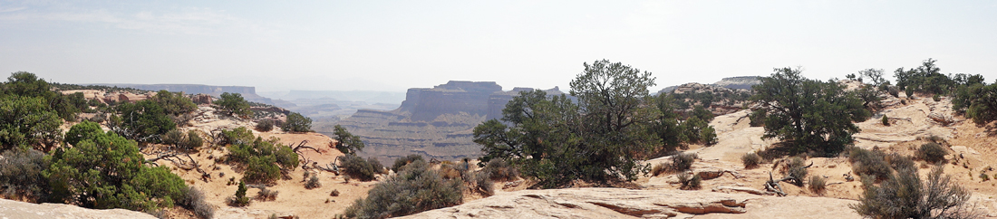
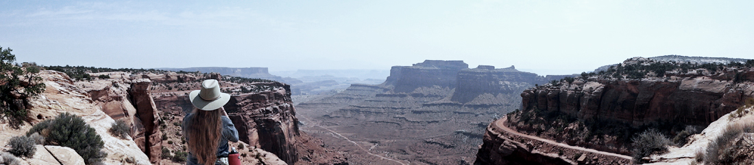
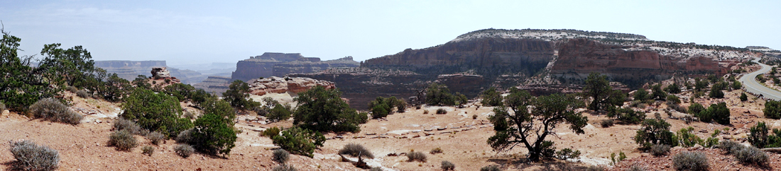
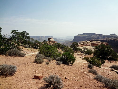
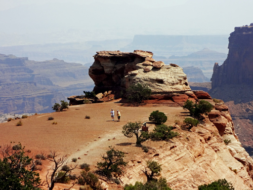
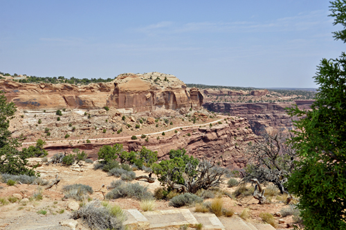
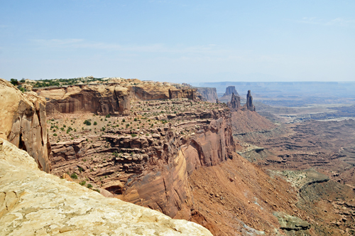
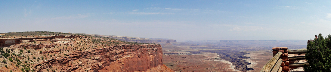
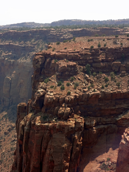
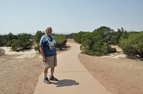
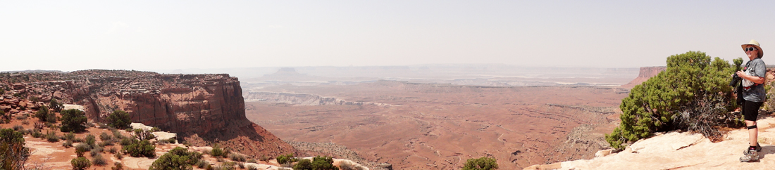
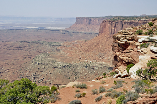
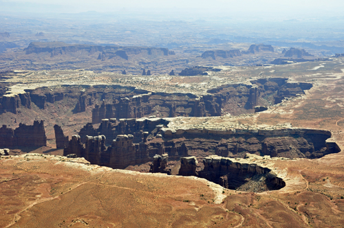
Below: Lee and
Karen Duqutte took a short walk across the street from the Island
in the Sky Visitor Center and were met with a very beautiful view. |
|
|
|
|
|
|
|
|
|
|
|
|
|
|
|
|
|
|
|
|
|
|
|
|
|
|
|
|
|
|
|
|
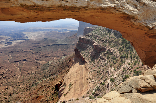 |
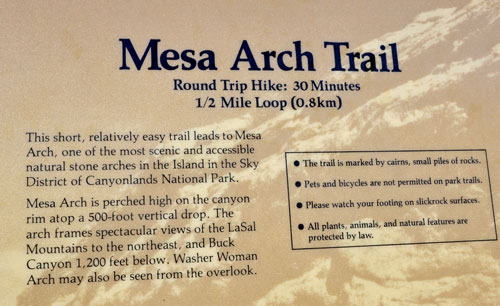
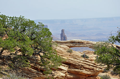
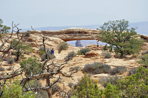
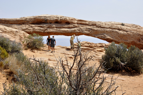
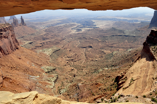
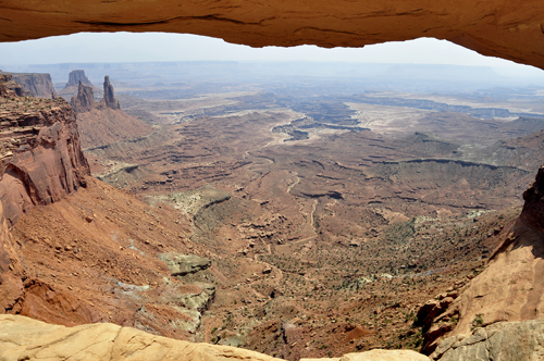
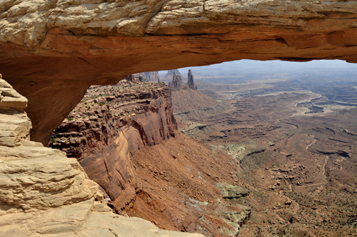
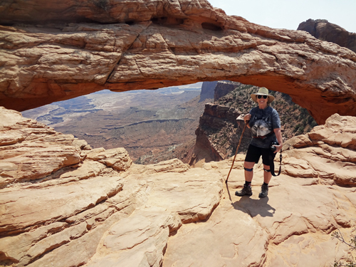
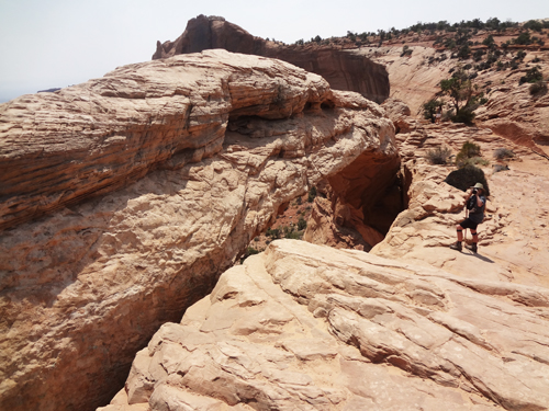
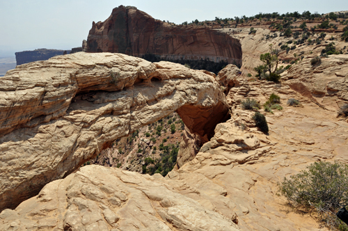
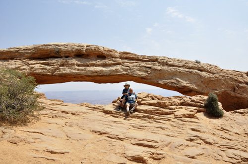
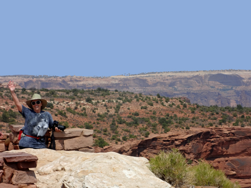
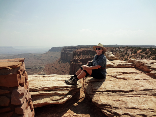
Below: Karen Duquette at Mesa Arch Overlook |
|
|
|
|
|
|
|
|
|
|
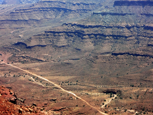
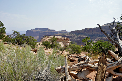
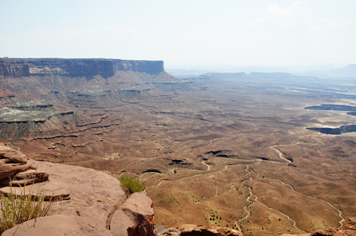
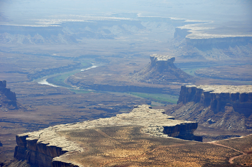
Below: Tracks in the Canyon |
|
|
|
|
|
|
|
|
|
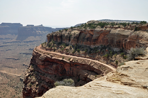
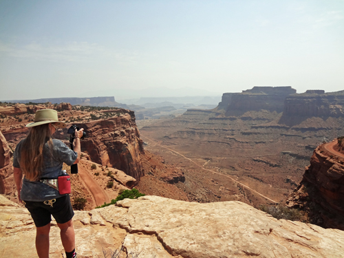
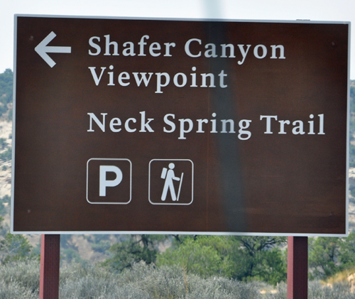
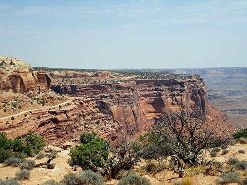
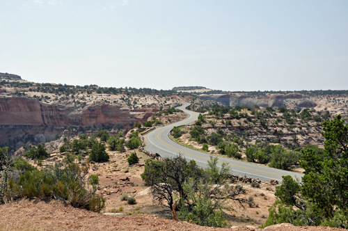
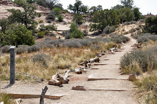
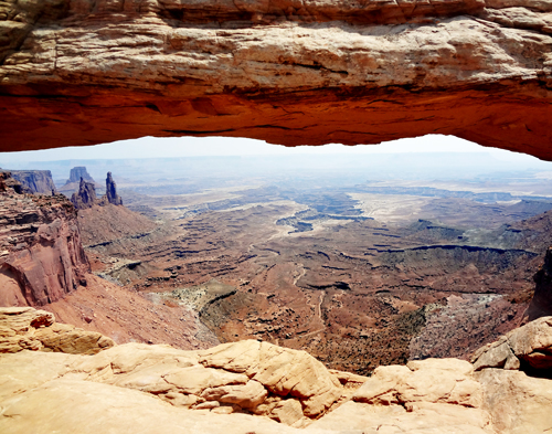
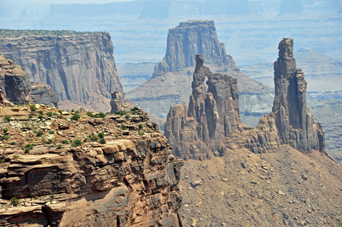
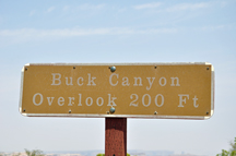
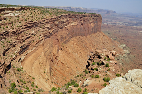
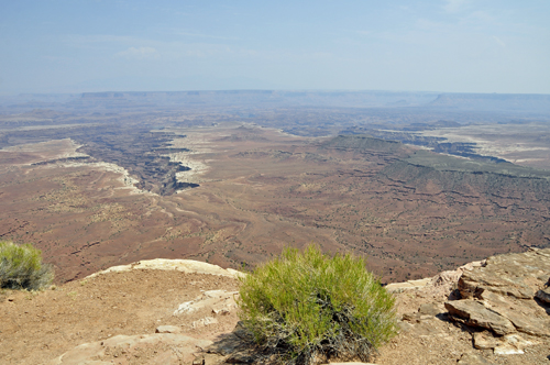
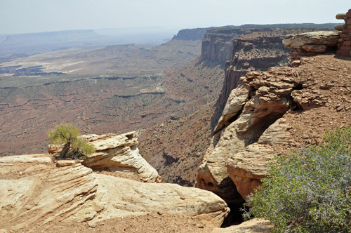
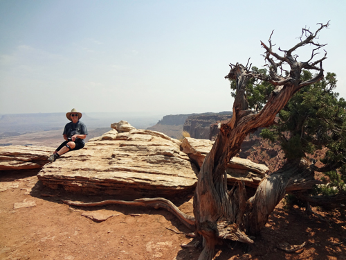
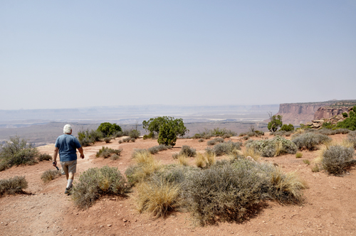
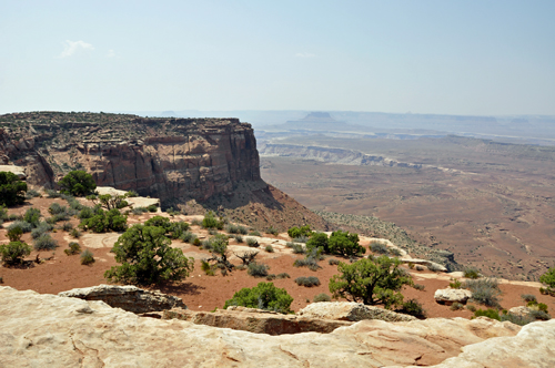
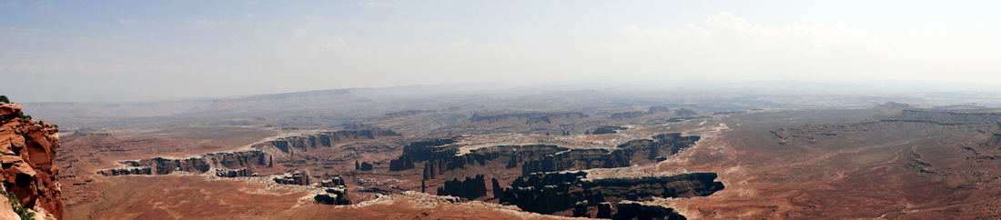
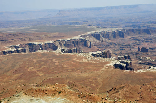
Below: ALL the overlooks at Canyonlands National Park
were short, easy walks. There were also hiking trails, but Lee and Karen
Duquette just enjoyed the view from the overlooks. |
|
|
|
|
|
|
|
|
|
|
|
|
|
|
|
|
|
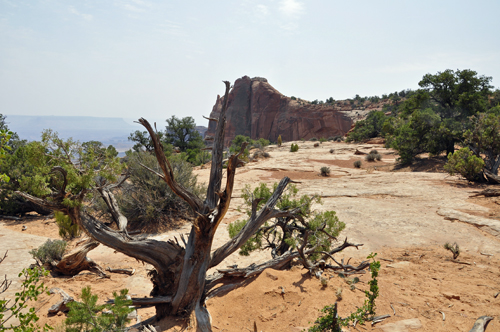
Below: The Whale Rock |
|