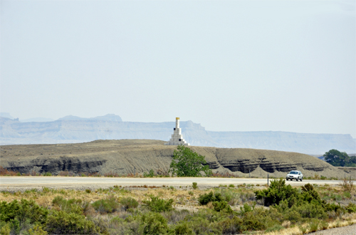
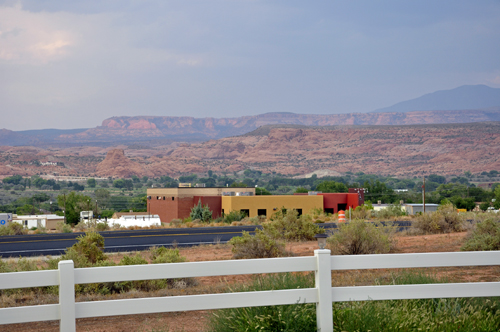
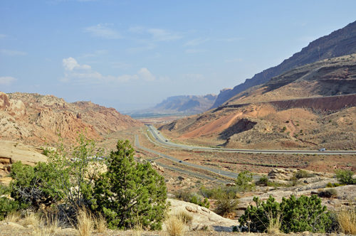
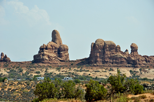
Below: Scenery from a rest stop by Moore,
Utah and on the way to Moab, Utah. Karen Duquette was not sure what
the big white structure in the far distance was, but she photographed
it anyway. |
| |
|
|
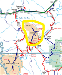
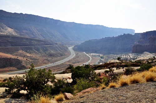
Moab is a city in Grand
County in eastern Utah, in the western United States. Moab hosts a large
number of tourists every year, mostly visitors to the nearby Arches
and Canyonlands National Parks. The town is a popular base for mountain
bikers who ride the extensive network of trails including the famed
Slickrock Trail, and off-roaders who come for the annual Moab Jeep Safari. |
| |
|
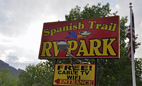
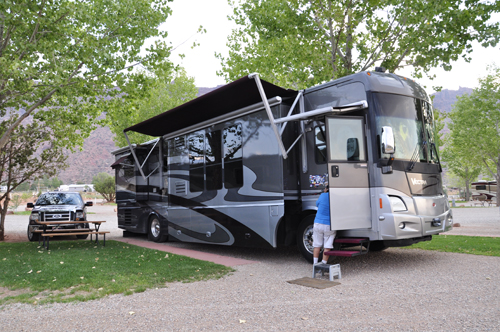
Below: The view from the RV of the two RV Gypsies while
parked at Spanish Trail RV Park in Moab, Utah |
| |
This park was very nice: the sites had
trees, small grass patches, and a teensy bit more room between sites
than the norm, and were well maintained. It is south of town so a bit
out of the touristy chaos, but the road noise was a constant, even late
at night. (As you can see in the above photo, the site of the two RV
Gypsies was not far from the road, and semi's drove by at all hours).
Lee and Karen Duquette never use campground restrooms, laundry, or
most other amenities (except for an accassional pool or hot tub), so
they cannot comment on that kind of stuff. There was NO pool here anyway
and no hot tub at Spanish Trail RV Park, not that they would have had
time to use them anyway. If they come again, they will choose a different
park.
|
| |
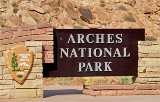
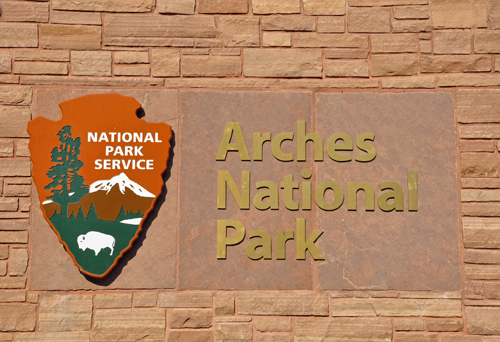
Arches National Park |
|
is in eastern Utah. It is known for preserving over
2,000 natural sandstone arches, including the world-famous Delicate
Arch (the last arch shown on this site), in addition to a variety
of unique geological resources and formations.
The park is located just outside of Moab, Utah, and
is 76,679 acres in area. Its highest elevation is 5,653 feet at Elephant
Butte, and its lowest elevation is 4,085 feet at the visitor center.
Forty-three arches have collapsed due to erosion since 1970. The park
receives 10 inches of rain a year on average.
Administered by the National Park Service, the area
was originally created as a National Monument on April 12, 1929. It
was redesignated as a National Park on November 12, 1971.
|
| |
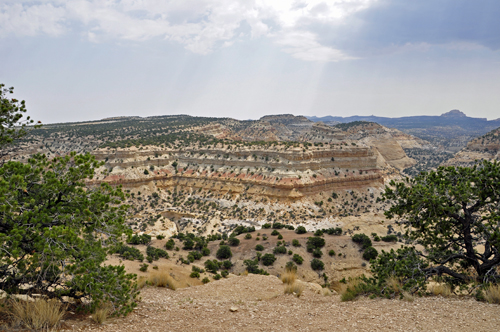
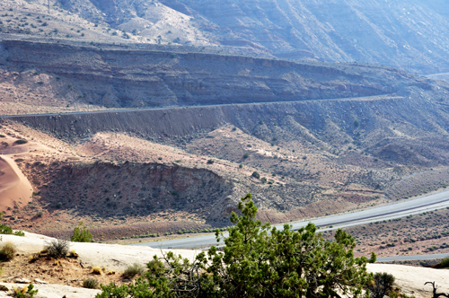
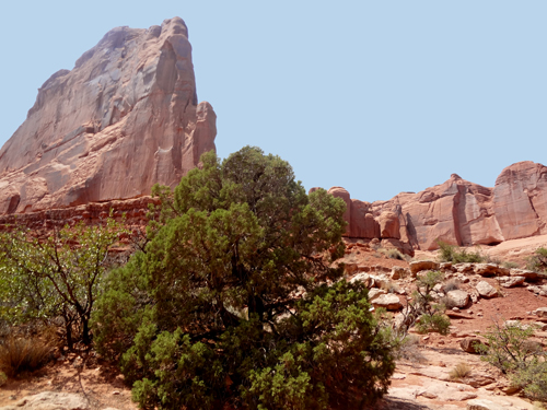
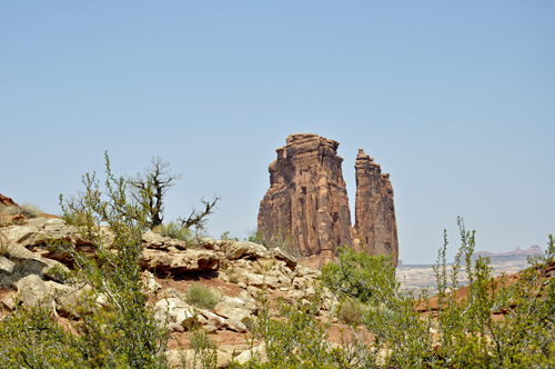
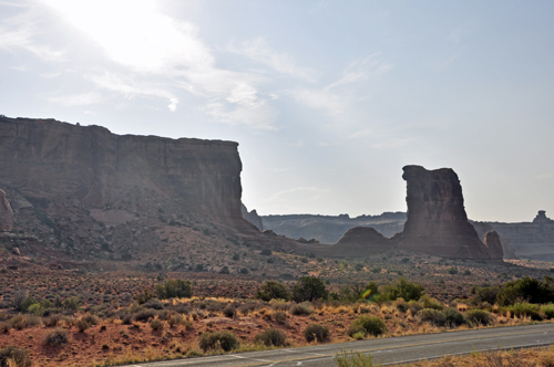
Below: Views from Arches National Park,
showing the road outside the park in each direction. |
| |
|
| |
|
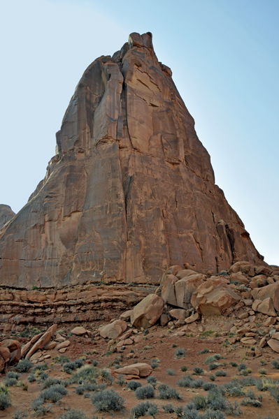
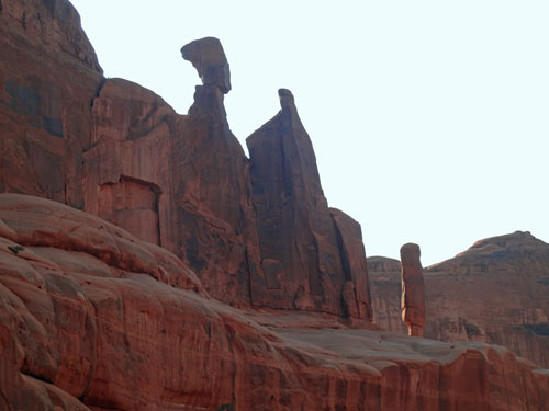
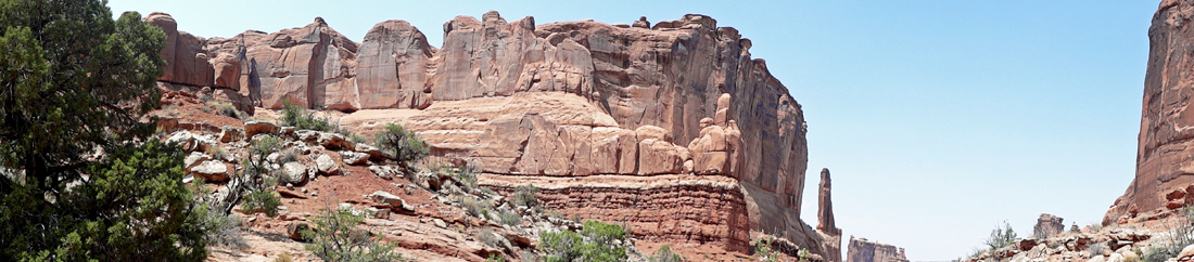
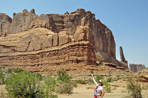
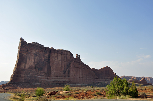
Below: The Park Avenue Trail is one of
the first major stops in Arches National Park. |
| |
|
| |
|
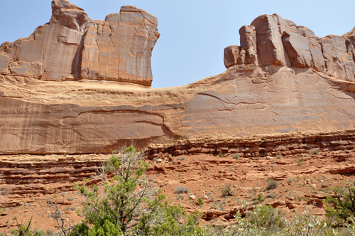
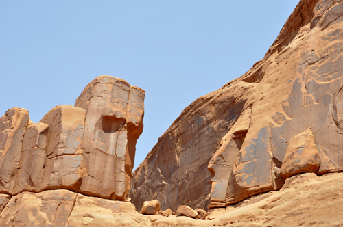
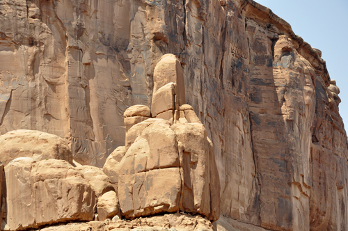
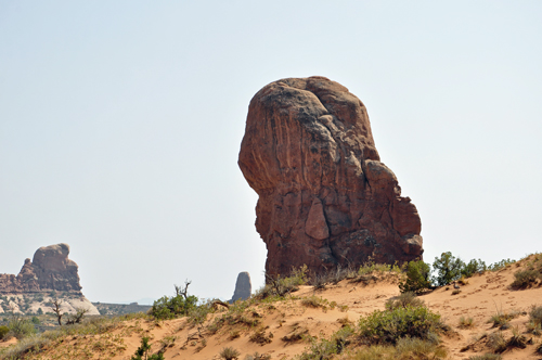
Below: Zoomed-in photos of the above formations.
|
| |
|
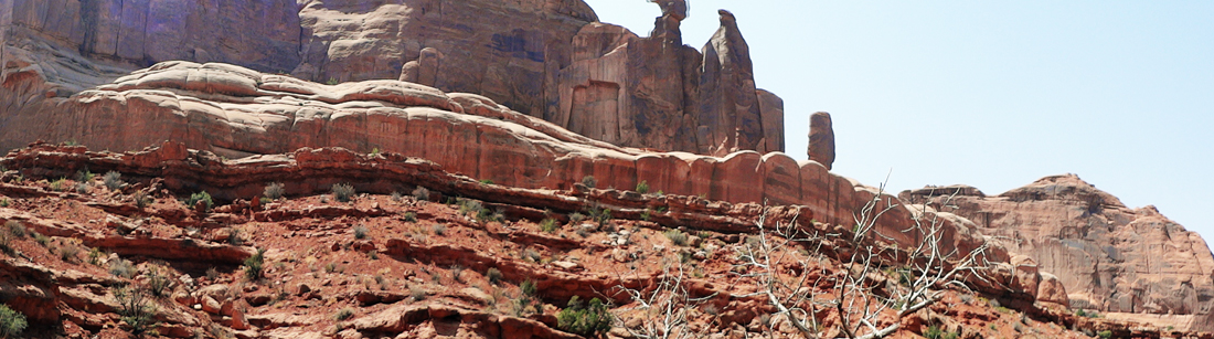
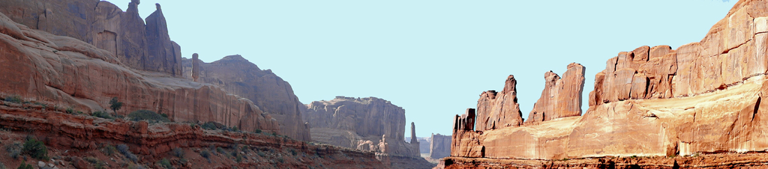
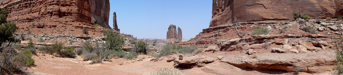
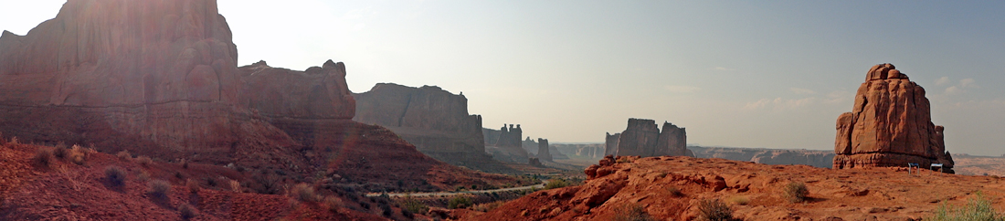
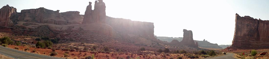
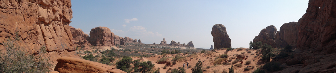
Below: A panorama of the formations at
Park Avenue. Amazingly, each side of the canyon were quite different
in color. |
| |
|
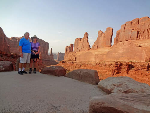
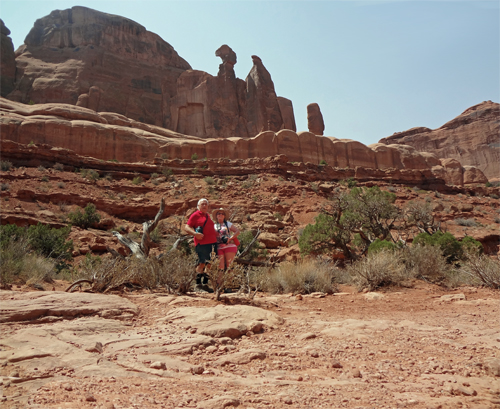
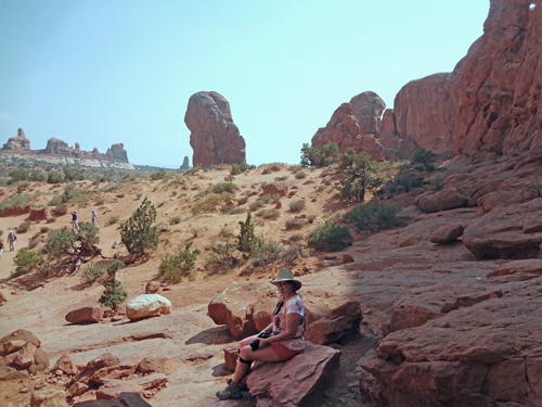
Below: The two RV Gypsies, Lee and Karen Duquette,
at the lookout point above the Park Avenue trail. They have such a
great life.
|
| |
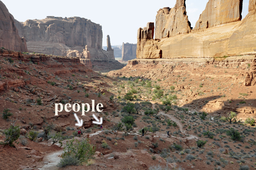
Below: From the Park Avenue
trail lookout point, Lee and Karen Duquette saw people down on the trail. |
| |
| |
Below: The following day, Lee and Karen
Duquette returned to Park Avenue and decided to hike the trail, since
the above sign said it was an easy hike. The stairs at the beginning
of the trail descended quickly and steeply into a beautiful canyon,
but this already tired out the two RV Gypsies. So even though the canyon
floor itself was flat and easy to walk, they only walked a short distance
on the trail in order to take a few photos from along the canyon floor
and then they returned to their starting point. But for those who are
able to hike and do stairs, this is a one-way trail that goes through
the Park Avenue area to the Courthouse Towers. This trail just was not
for Lee and Karen Duquette at this time. |
| |
|
 Below:
OH NO! Getting the finger at Arches National Park. Below:
OH NO! Getting the finger at Arches National Park.
|
| |
|
| |
| |
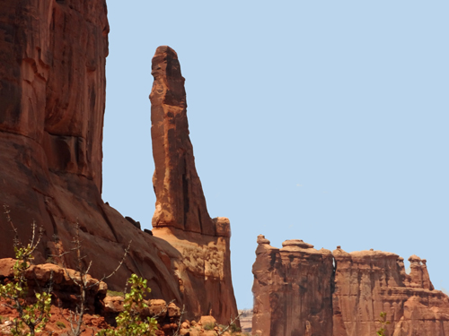
Below: Zoomed-in views of the formations
shown in the panoramas above. |
| |
|
| |
|
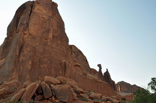
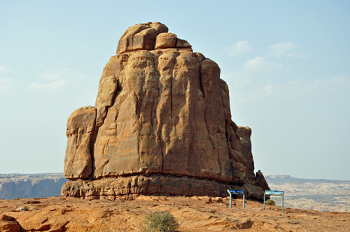
Below: Courthouse Towers Viewpoint - photographing
from across the street and directly into the sun gave a red look to
the formation.
|
| |
Below: Later, but on the same
day, Karen Duquette took a better photo of that same formation. |
| |
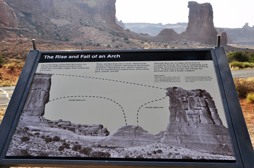
The sign below tells how arches start as small holes
in rock faces and enlarge and eventually collapse from weathering and
erosion. Sand grains once formed together as rock are separated and
washed away; arches form, grow, mature, and fall. |
| |
|
| |
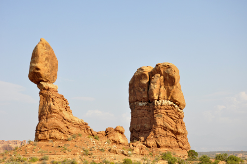
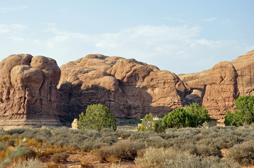
Below: The Organ is an impressive "Sandstone
Tower". |
| |
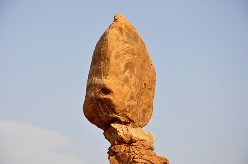
Below: Balanced Rock is exactly
what its name implies: a large rock, balanced upon a narrower pedestal
of stone beneath it. The trail has an elevation gain of less than 50
feet, and is short enough to make the trail fun for even the newest
of outdoor enthusiasts. It is a loop trail at the bottom of this fragile,
picturesque rock formation. (There has been a Balanced Rock in several
other places that Karen and Lee Duquette have been, including at Chiricahua
National Monument in Arizona). |
| |
|
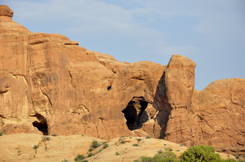
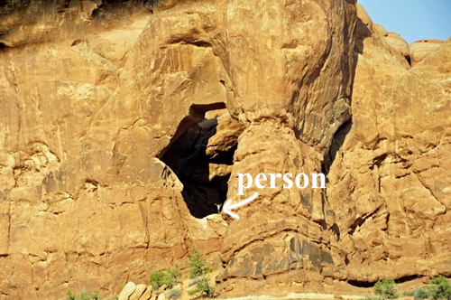
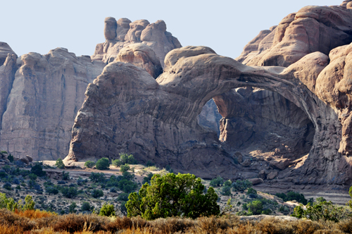
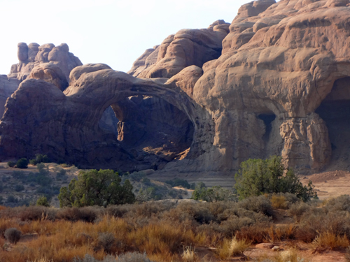
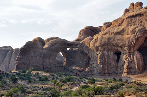
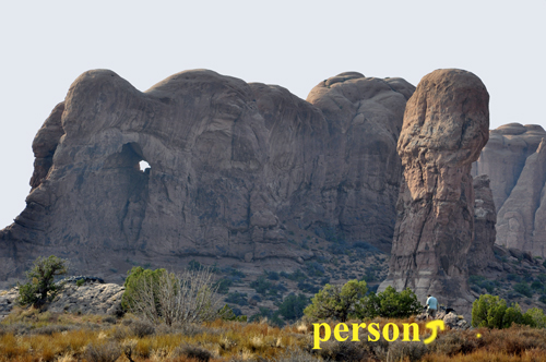
Below: Karen Duquette is not sure what
formation this is below, (it might be the Porthole Cave Arch) but as
Lee Duquette drove by it, Karen used her zoom lens to photograph it
because there was a person standing INSIDE the formation. The two RV
Gypsies guessed that the person got there from a trail at the back side
of the formation. |
| |
|
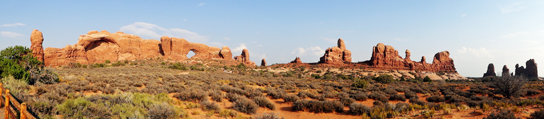
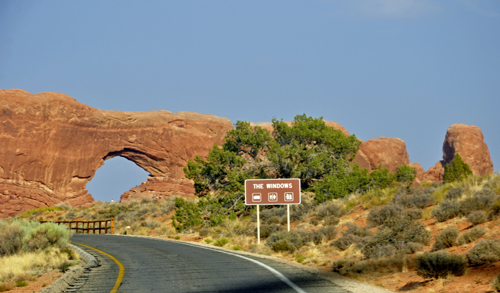
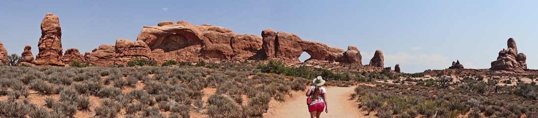
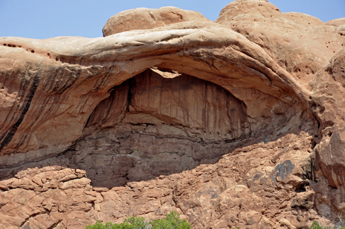
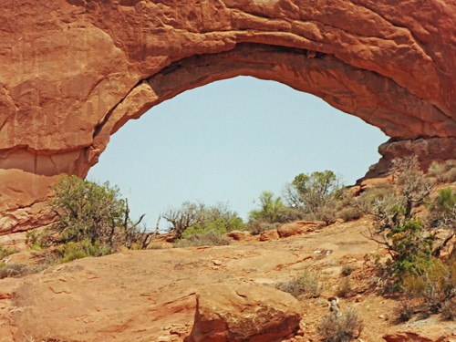
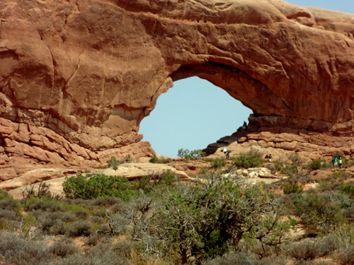
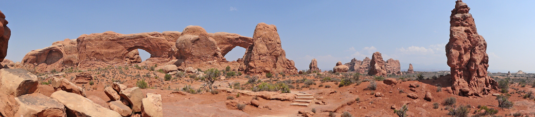
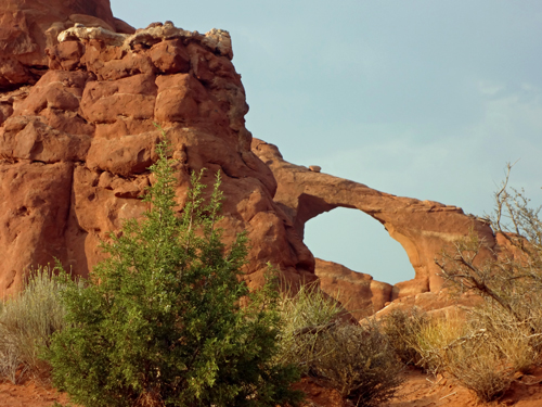
Below: The Windows - North Window, South Window and
Turret Arch |
|
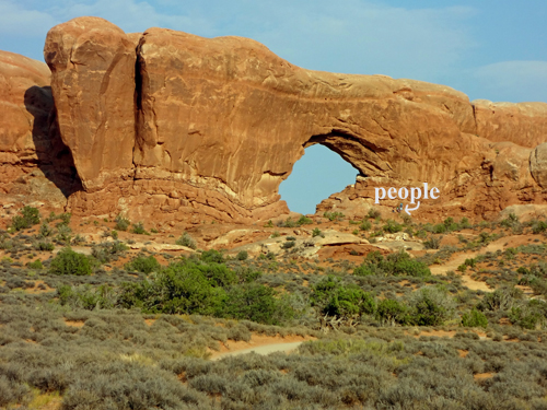
Below: The North Window - notice the people in the
photo below, on the right. |
| |
|
|
Below: Karen Duquette started to walk up to the North
Window, and got about 3/4 of the way there and decided that she did
not want to go all the way up under the arch (mostly because Lee was
not with her), so she just used her zoom lens to take photos. Lee
Duquette stayed at the bottom of the path and photographed Karen.
|
| |
| |
| |
|
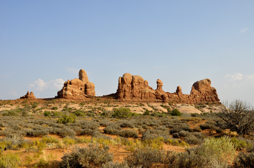
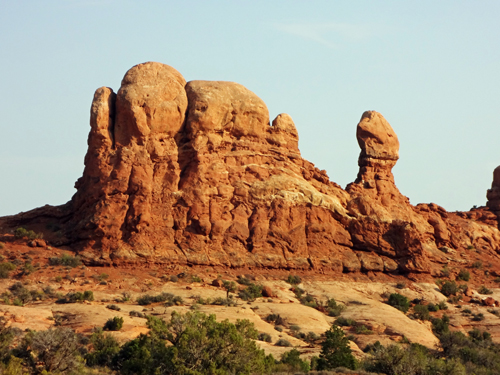
Below: This section of the park, known as the Windows,
boasts several arches in relatively close proximity. The first is a
pair known as the North and South Windows (the left and right arches
respectively). |
| |
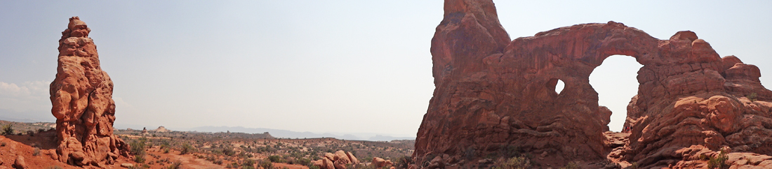
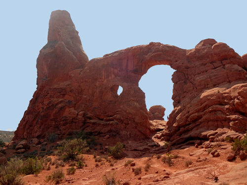
Below: Opposite from North and South Windows
is the Turret Arch. |
| |
| |
| |
| |
|
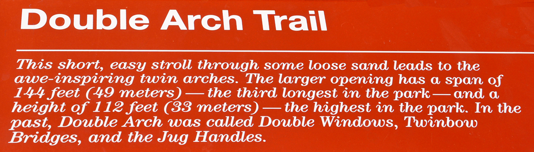
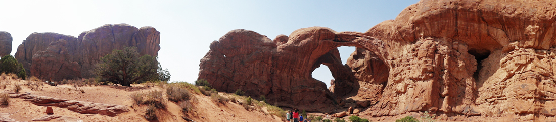
Below: DOUBLE ARCH: This arch started as a cave where
a large pothole at the top was continually being dug deeper and deeper
by rainwater. Eventually the pothole wore through and created the large
pothole-arch known as Double Arch. |
| |
|
| |
|
| |
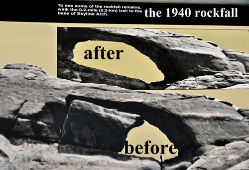
Below: Arches usually form slowly, but quick and dramatic
changes do occur. in 1940, a large boulder suddenly fell out of Skyline
Arch, roughly doubling the size of the opening. |
Below on the left is a sign showing the Skyline Arch
before and after the 1940 rockfall.
Below on the right is the present day Skyline Arch. The
arch now has a span of 71 feet and a height of 33.5 feet. |
| |
|
| |
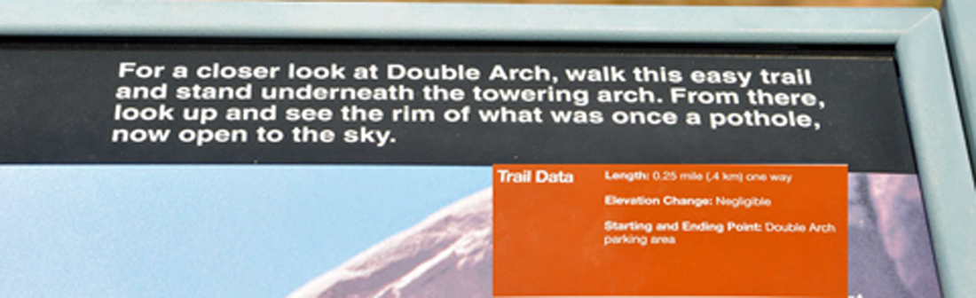
Below: Trail Data: Length 0.25 mile
one way. |
|
|
|
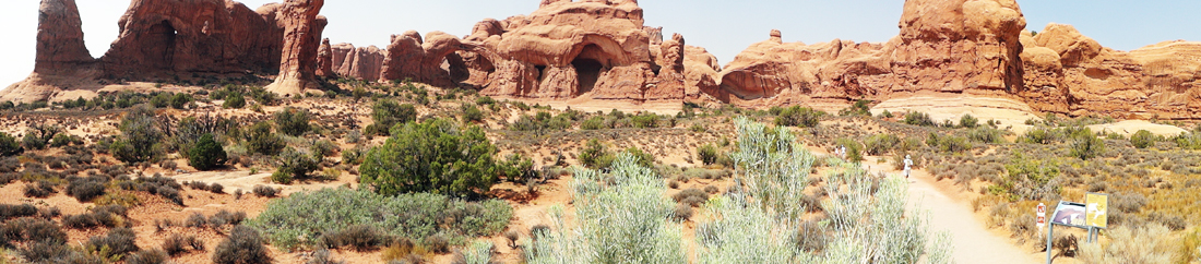
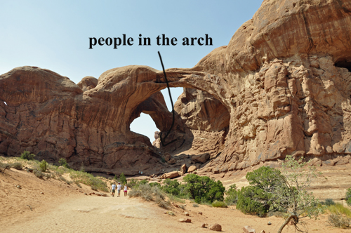
Below: Notice how small the
people look as they approached the Double Arch at Arches National Park. |
|
|
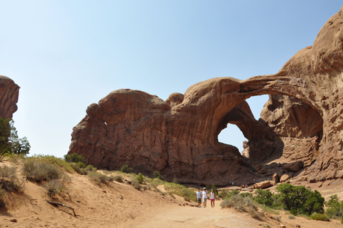
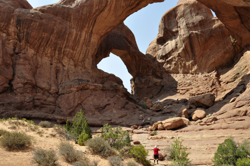
Below: The two RV Gypsies,
Karen and Lee Duquette, got closer to the Arch. |
|
|
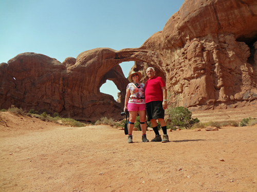
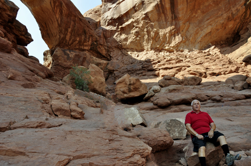
Below: Lee and Karen Duquette got a lot
closer to the arch then they stopped to rest. The trail was easy up
to this point, but then it got very rocky by the arch, so Lee Duquette
decided he was satisfied with the photos and view they already had. |
|
|
|
Below: The panorama photo above and the
two photos below were taken from the same spot. Different type of lens
makes everything look quite different. |
|
|
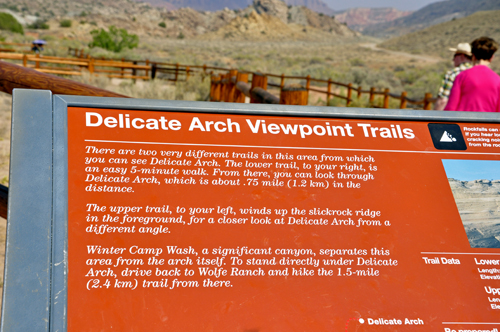
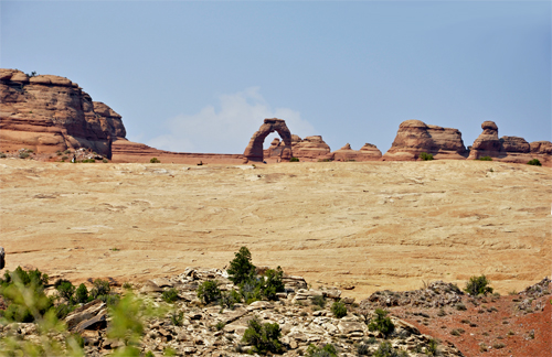
Below: Delicate Arch is the most
recognizable arch in Arches National Park, and perhaps anywhere in the
world. It also happens to be located along one of the most dynamic hiking
trails within Arches National Park. More than 480 feet above the parking
lot and trailhead in the valley below, Delicate Arch is hidden in a
bowl at the top of one of the park's famous sandstone fins. Delicate
Arch is freestanding, and magnificently alone in the natural sandstone
bowl, standing out against the multitude of horizontal planes around
it. The arch was once part of the upper section of the fin, until erosion
took its toll upon the sandstone throughout the years, and now Delicate
Arch is all that remains of that Entrada sandstone formation. |
|
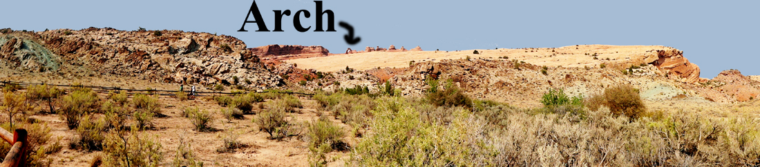
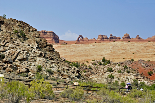
Below: As stated in the sign above, there
are two very different trails in this area from which to see Delicate
Arch. Lee and Karen Duquette chose the lower trail which was an easy
5-minute walk. You can see from the panorama that the lookout is actually
a very far distance from Delicate Arch itself. |
|
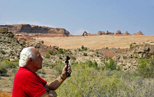
Below: Lee Duquette taking the above
panorama photo. |
|
Below; Even with Karen Duquette's
zoom lens, Delicate Arch could not be photographed well from
this lookout point. |
|
|