Lee
and Karen Duquette,
The Two RV Gypsies: Full-Time RVers
at Zion National Park
August 11, 2012 |
|
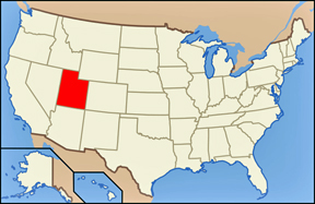
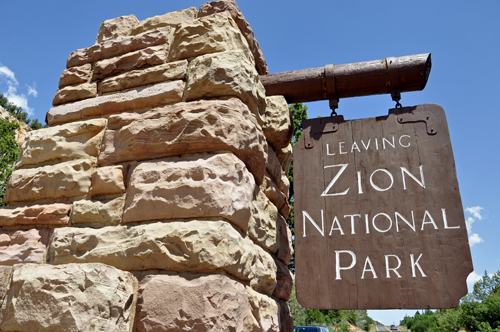
Zion National Park
is located in the Southwestern United States, near Springdale, Utah.
A prominent feature of the 229-square-mile park is Zion Canyon, which
is 15 miles long and up to half a mile deep, cut through the reddish
and tan-colored Navajo Sandstone by the North Fork of the Virgin River.
The lowest elevation is 3,666 feet at Coalpits Wash and the highest
elevation is 8,726 feet at Horse Ranch Mountain. |
|
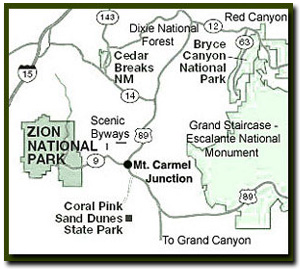
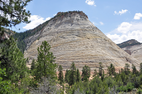
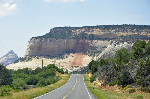
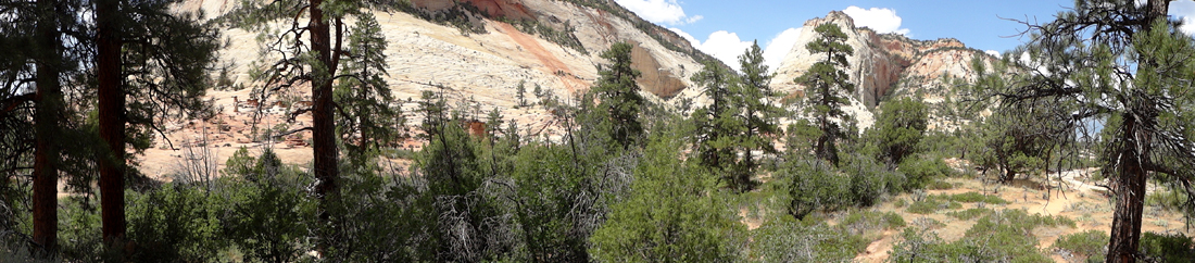
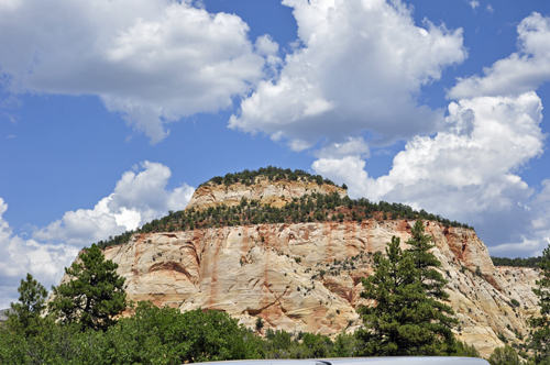
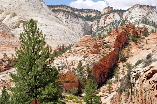
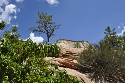
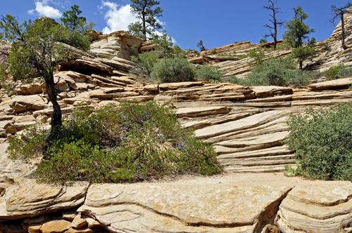
As Lee and Karen Duquette entered Zion National Park
from the east entrance, they immediately were amazed by a colorful
display of orange, brown and white slickrock that included one of
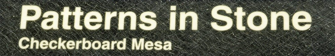
the parks landmarks, Checkerboard Mesa (SHOWN BELOW).
The majestic criss-crossed mountain appeared as a massive hill towering
900 feet above the Zion-Mt. Carmel Highway and resembled a giant,
extended chess or checkerboard.
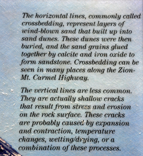
The vertical and horizontal fissures were more evident
on the north side of the mesa, where most of the photographs of the
mountain were taken. The left to right deep scratches are due to a
north to south wind direction while the vertical cracks are a result
of weathering, a cycle of freezing and thawing. Change still continues
in the park, so much in fact that the massive monoliths will eventually
break down and once again become great dunes of sand.
|
|
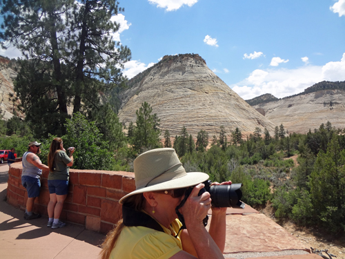
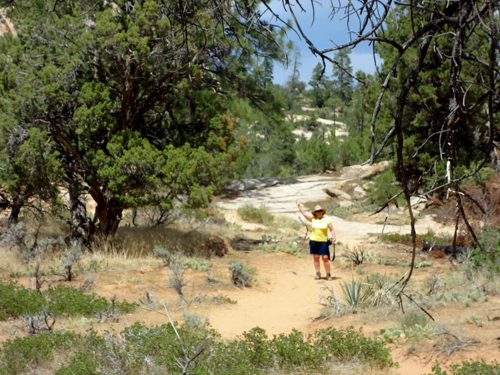
Below: Karen Duquette taking photos at
Checkerboard Mesa. |
|
|
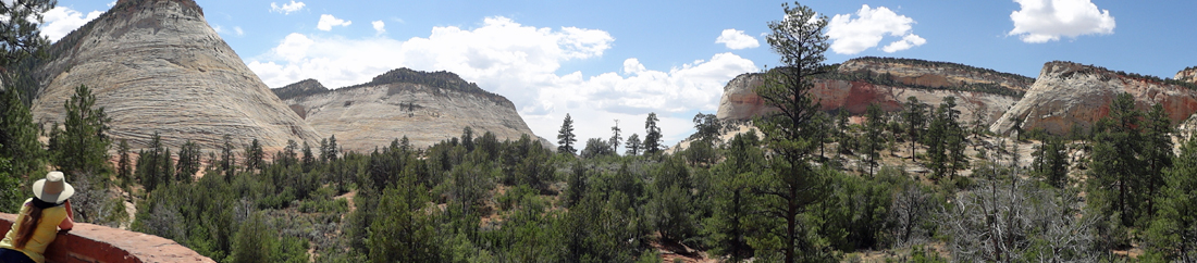
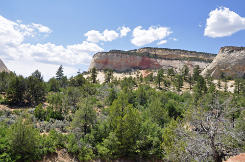
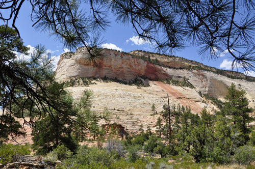
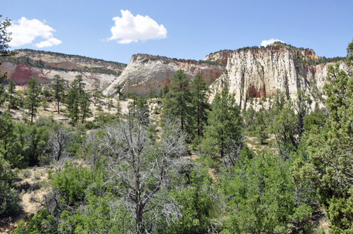
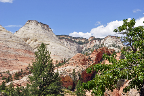
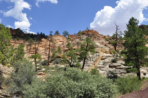
Below: Checkerboard Mesa and Crazy
Quilt Mesa, another wonderful example of cross bedding. |
|
Below: Crazy Quilt Mesa, which is immediately west
of Checkerboard Mesa.
|
|
|
|
|
|
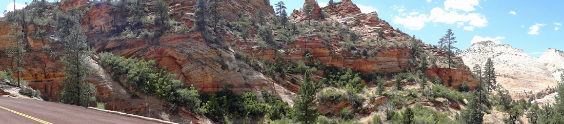
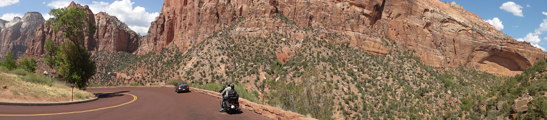
Lee Duquette stayed by the
roadside to take the above panorama photo, while Karen Duquette took
a short walk beside Crazy Quilt Mesa. Then Lee turned around
to photograph Karen. |
|
|
|
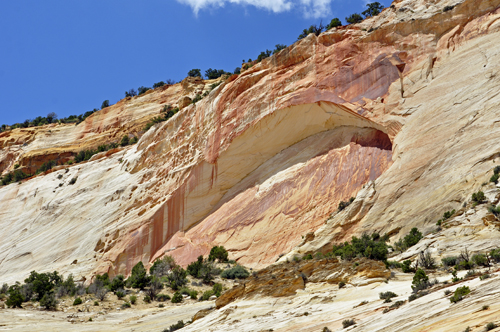
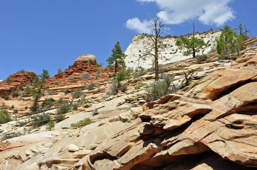
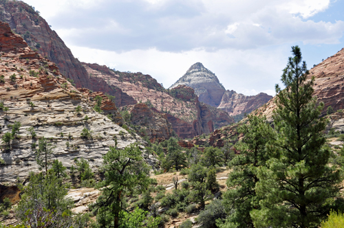
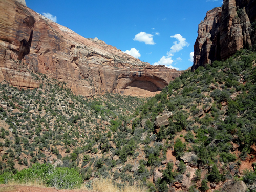
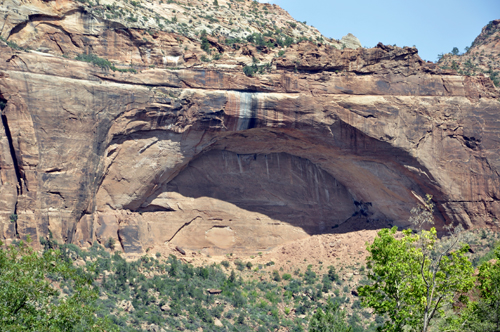
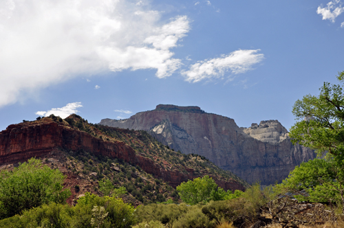
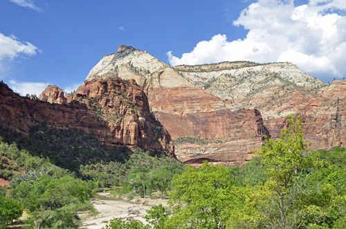
Below: Temple Cap Formation |
|
|
|
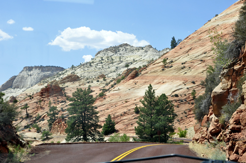
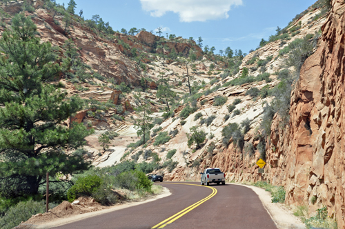
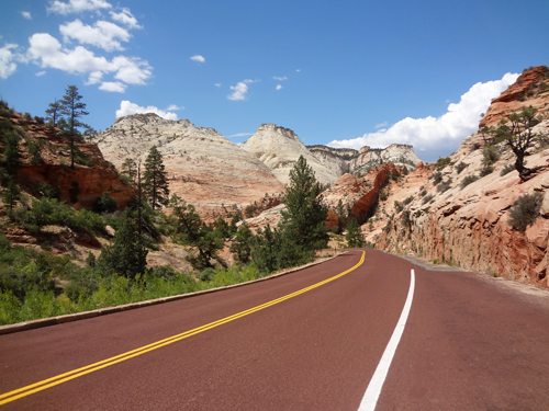
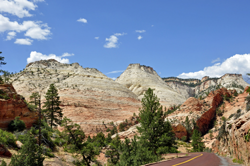
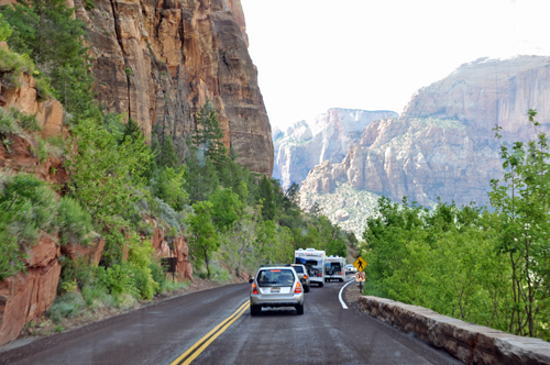
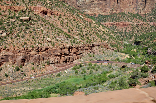
Below: Follow the red asphalt road
|
|
|
|
|
|
|
|
|
|
|
|
|
|
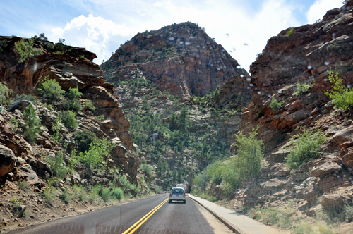
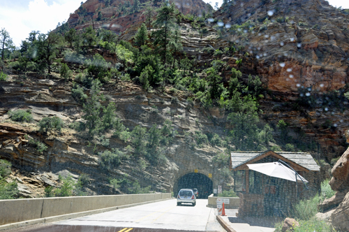
Below: Lee Duquette drove the truck through
a tunnel. Because of the significant planning, skills, materials, and
overall design and engineering, the Zion Mt. Carmel Highway and Tunnel
are listed in the National Register of Historic Places and
in May 2012, was designated as a Historic Civil Engineering Landmark
by the American Society of Civil Engineers. |
|
|
|
|
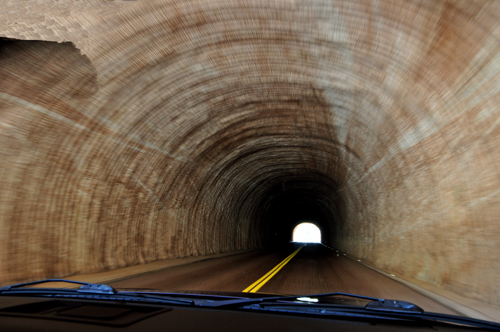
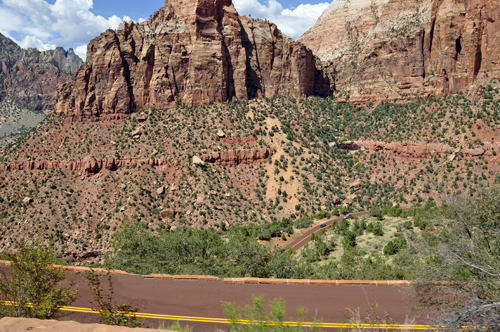
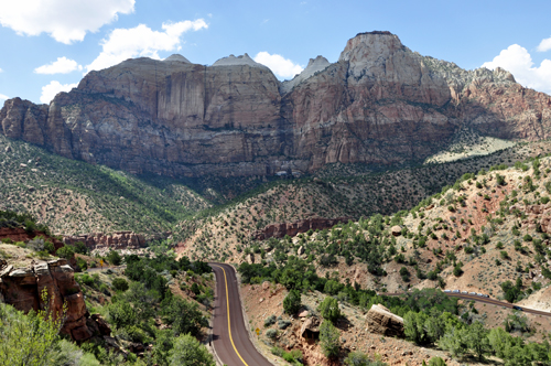
Below: Lee and Karen Duquette
not only had to go through the cliff via a tunnel, they had to descend
to the canyon floor via a series of many switchbacks. Exiting the tunnel,
one of the road switchbacks is shown below. |
|
|
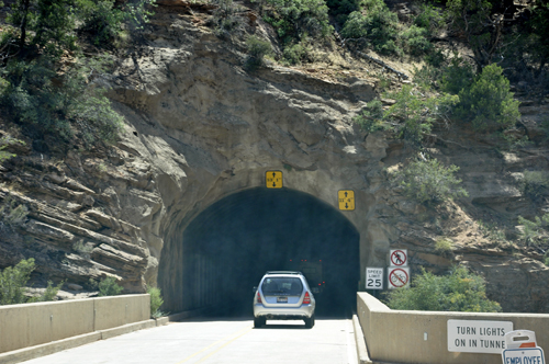
 In
the 1920s, the east end of the canyon appeared to be a dead end, an
impassable barrier to transportation. And the cliffs presented the toughest
challenge to highway engineers. Building a highway over or around it
was not possible. Their solution: a one-mile tunnel behind the cliff
face. When the tunnel and highway were completed in 1930, it opened
the region to motor tourism, linking Zion to Bryce and the Grand Canyon's
North Rim. In
the 1920s, the east end of the canyon appeared to be a dead end, an
impassable barrier to transportation. And the cliffs presented the toughest
challenge to highway engineers. Building a highway over or around it
was not possible. Their solution: a one-mile tunnel behind the cliff
face. When the tunnel and highway were completed in 1930, it opened
the region to motor tourism, linking Zion to Bryce and the Grand Canyon's
North Rim.
Now the tunnel itself has become a kind of barrier, as today's
RVs and tour buses are too large for two-way traffic within the tunnel.
Their solution: to charge $15.00 for any vehicle exceeding 94 inches
in width and escorting them through the tunnel. (prices are always subject
to change)
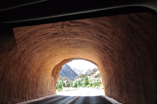
After going through the tunnel, Lee and Karen Duquette looked
back to the east at the cliff. |
|
|
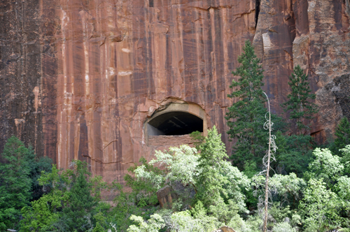
Below: Another window in the tunnel |
|
|
|
|
|
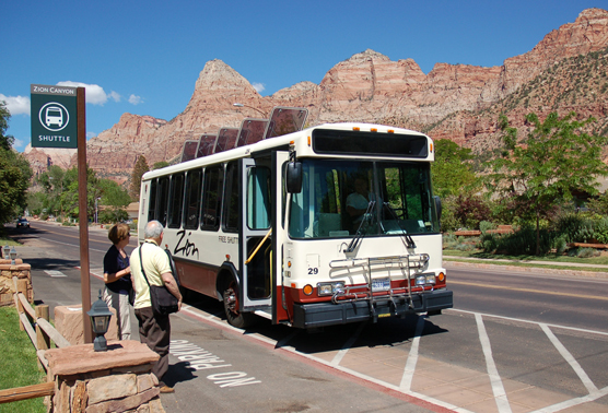
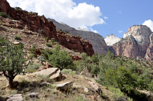
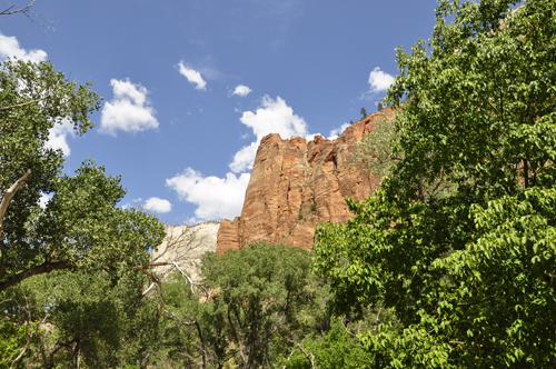
Below: At the Zion Canyon
Visitor Center, shuttle buses had to be taken to see the rest of Zion
National Park. Zion Canyon Shuttle stops at eight locations in the park.
Riders may get on and off as often as they like. Riding the shuttle
is free. The shuttle has big windows though which Karen Duquette was
able to take some beautiful photographs, shown below. |
|
|
|
|
|
|
|
|
|
|
|
|
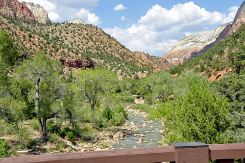
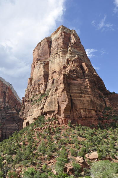
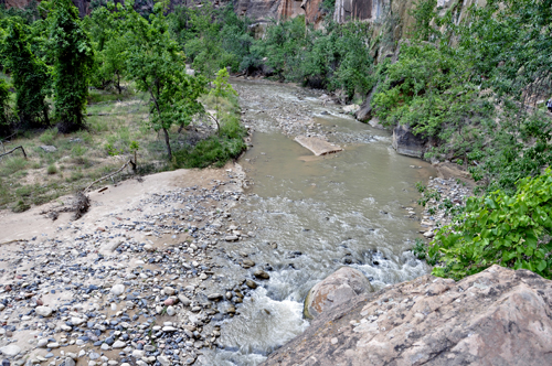
Below: The last Shuttle stop was the Temple
of Sinawava. Here the river canyon narrows abruptly. The cliffs'
colors and textures are clues that two different rock layers intersect
at the riverbed and affect how the canyon is carved.
Confined within the hard Navajo sandstone upstream, the Virgin River
is forced to slice straight down, creating a tight, perpendicular gorge.
Everyone got off the shuttle to explore the Riverside Walk. |
|
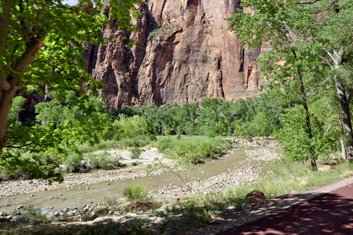
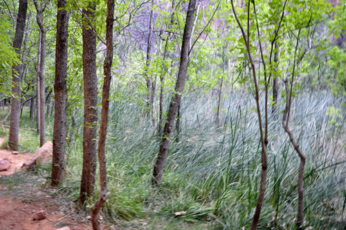
Below: Riverside Walk was an easy trail.
Traveling upriver, the trail passed by lush vegetation - a desert swamp.
Overflow from occasional cloudbursts and spring runoff left the low
ground moist, creating a cooler, greener microclimate of ferns and mosses. |
|
|
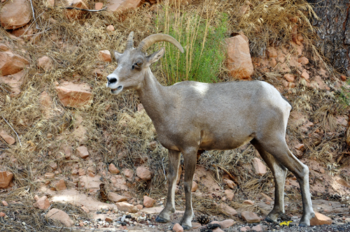
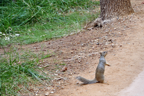
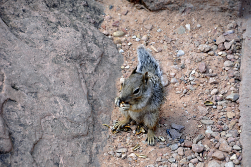
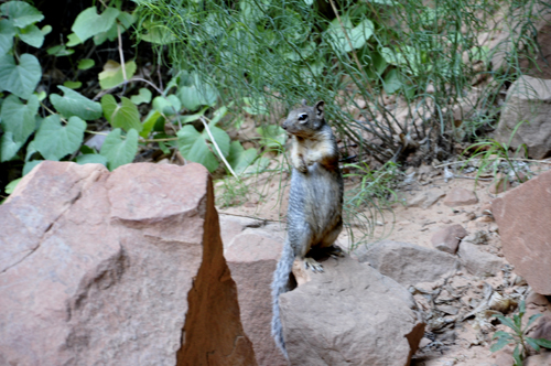
Below: Many squirrels were along the Riverwalk
Trail looking for a hand-out. The park urges people NOT to feed the
squirrels. |
|
|
|
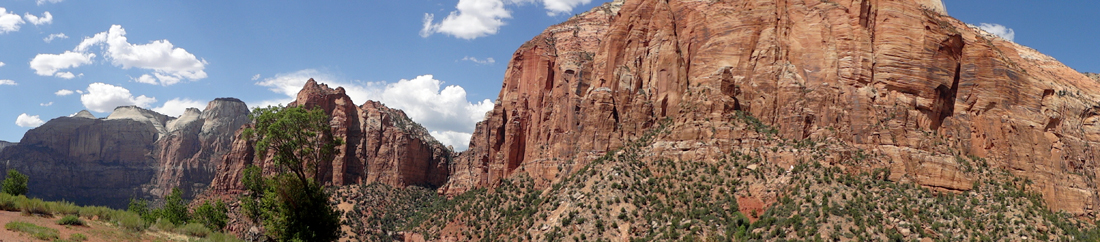
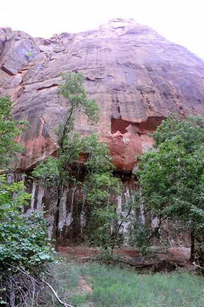
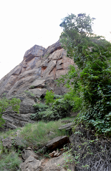
Below: While taking a break along the pathway,
Lee Duquette took panorama photos sweeping the camera upward. The cliffs
were just too tall to photograph without the panorama. |
|
|
|
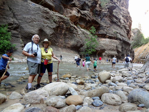
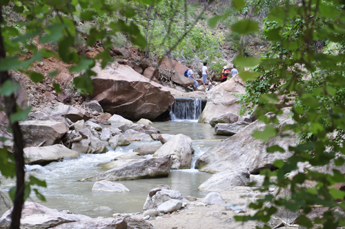
Below: At the end of the trail, Lee and
Karen Duquette descended down a handful of stairs and over a few rocks
to find a crowd of people crossing the Virgin River. Everything in Zion
takes life from the Virgin River's scarce desert waters. Water flows
and solid rock melts into the cliffs and towers. |
|
|
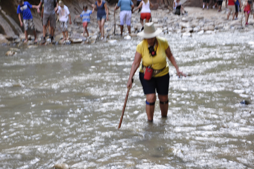
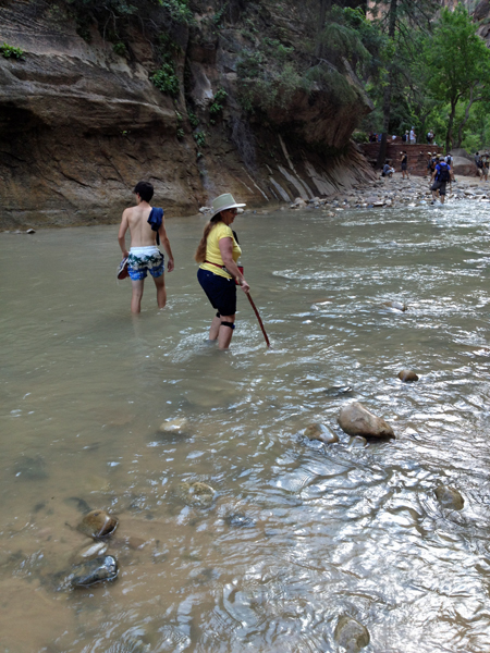
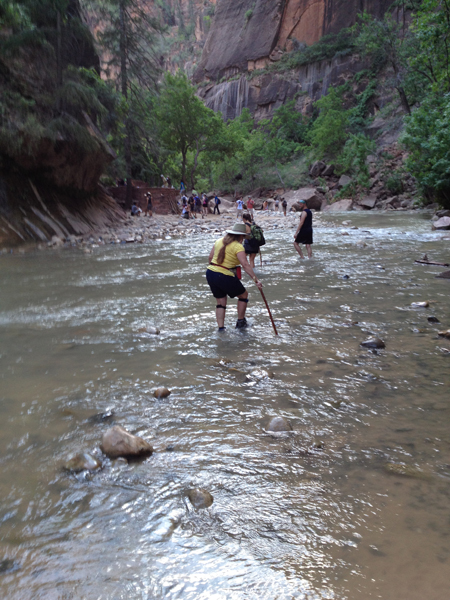
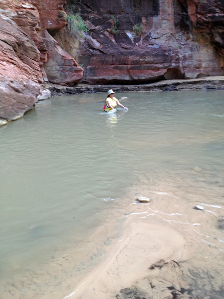
Below: Karen Duquette decided to join
the crowd so she walked across the Virgin River. Lee decided
that he would rather not get his hiking boots wet and photographed Karen
from the side. The Virgin River was very rocky in this area, so Karen
used a walking stick to help her find and step over the large rocks
that were hiding under the water. |
|
|
|
|
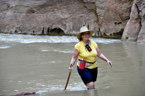
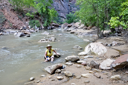
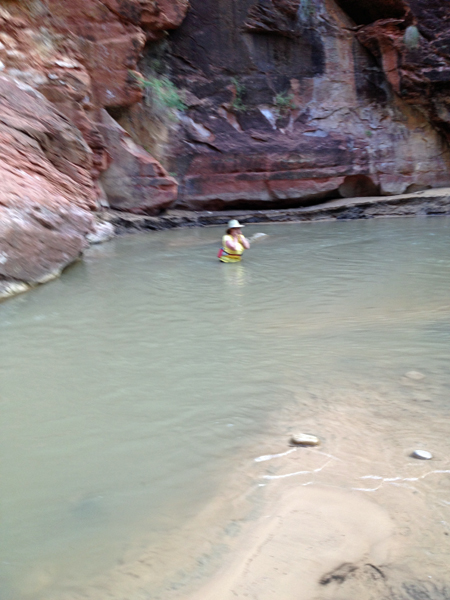
Below: Although many people continued on
down the Virgin River where the sides of the cliffs are said to get
very narrow, Karen Duquette decided not to go any further than where
she could be seen by Lee, who did not want to adventure any further.
So Karen took a break to sit in the water and cool down a bit. Lee thought
she was nuts. |
|
|
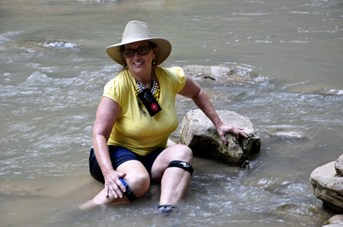
But Karen Duquette wanted to cool off even
more, given the hot weather, so despite being in regular hiking clothes
and hiking boots, into the very cold Virgin River she went, once again.
Her hiking boots made squishing noises all the way back to the shuttle
bus. |
|
|
|