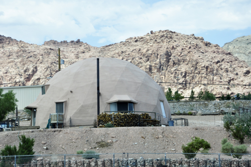
Below: A round building seen
just before Lee and Karen Duquette entered the Red Springs area |
|
|
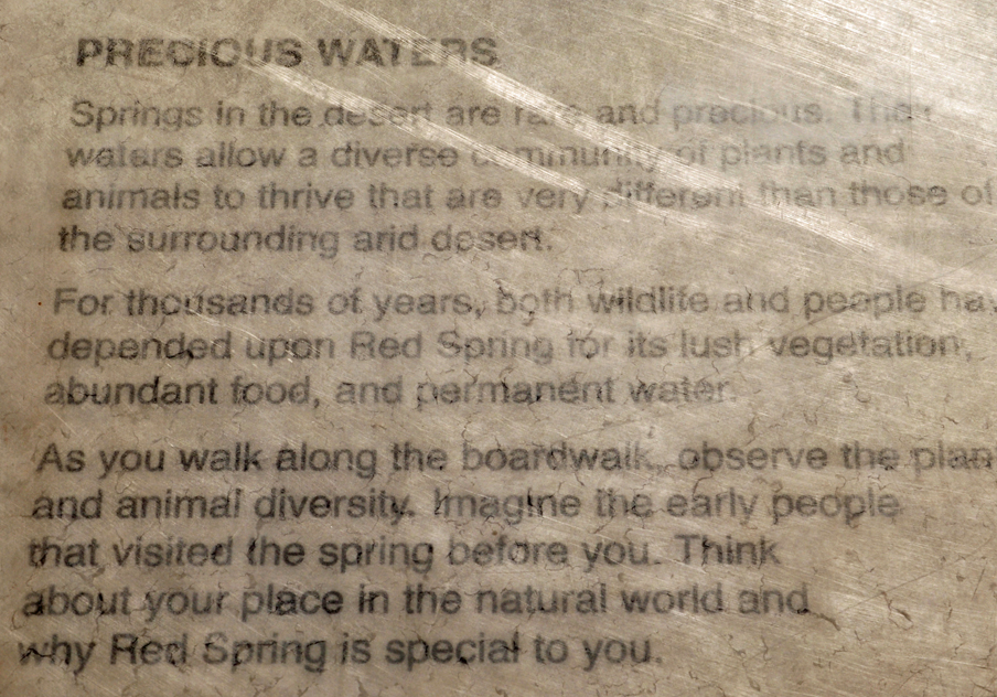
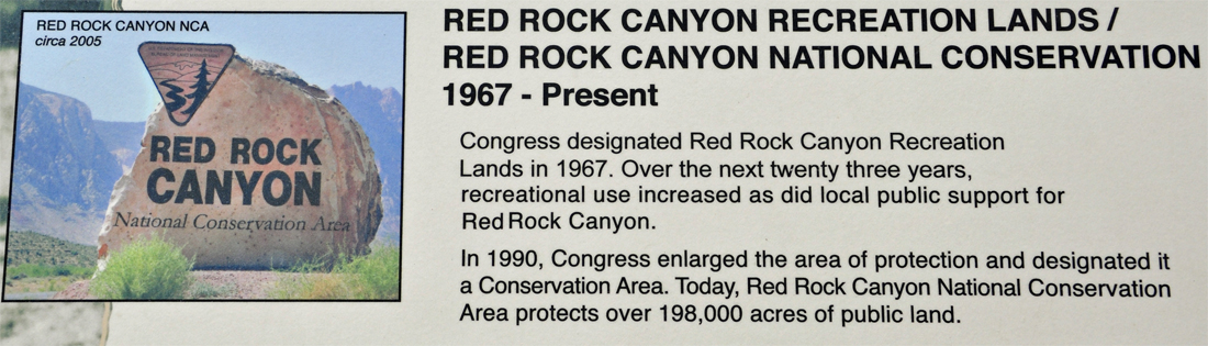
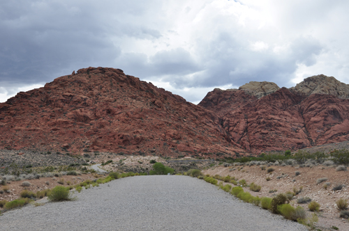
This project in the Red Springs area is a result of management
alternatives developed to protect the habitat in this high use area. Red
Rock Canyon National Conservation Area is a Bureau of Land Management
area on the western edge of the Las Vegas Valley. This area,known as Red
Spring, the Red Springs area, or Calico Basin, is sheltered and moist,
making it attractive to a wide variety of birds and other wildlife. |
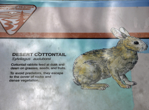
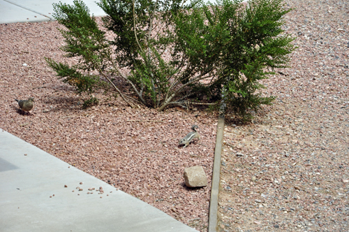
The two RV Gypsies saw a Desert Cottontail but it ran
so fast that Karen Duquette could not photograph it. So she just took
a picture of the sign. |
|
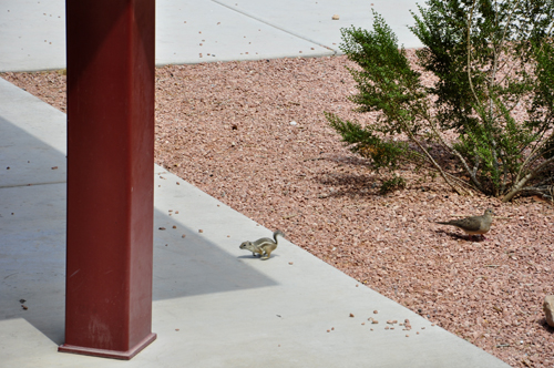
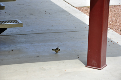
Below: Karen Duquette was able to photograph
a little chipmunk even though it also moved very quickly. There is also
a small bird in the photo. |
|
|
|
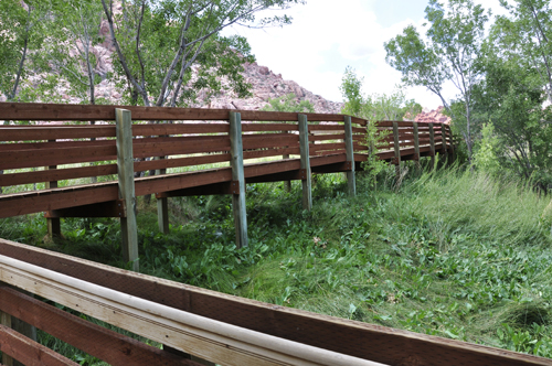
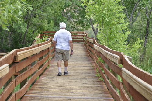
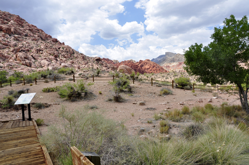
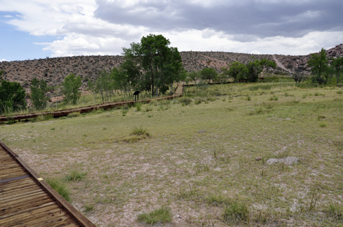
Below: There is a boardwalk that circles
the entire area with easy walking that allowed Lee and Karen Duquette
to enjoy the site and experience interpretive areas while allowing sensitive
riparian habitat to remain protected.
A wooden boardwalk within the fenced area at Red Spring educates the
public to the sensitivity of Red Spring. Allowing the public access into
the enclosure on a defined path keeps visitors from trampling sensitive
areas. |
|
|
 |
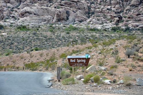
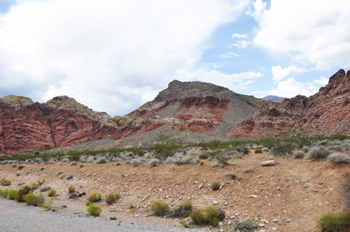
Below: Red Spring is part
of Red Rock Canyon (Red Rock National Conservation area) |
|
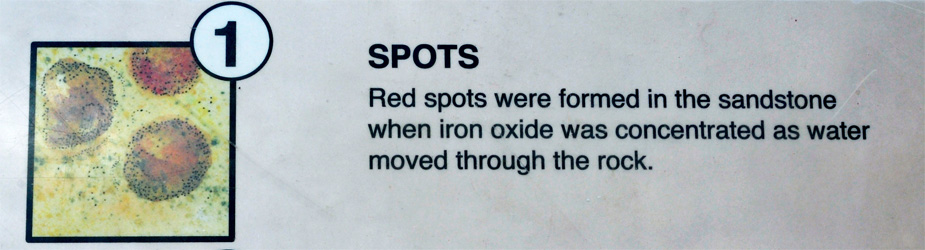
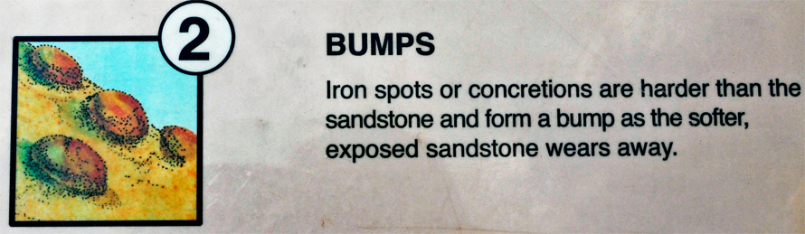
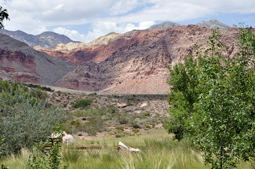
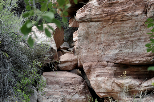
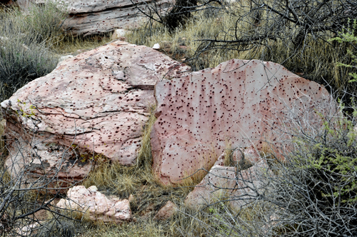
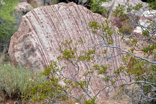
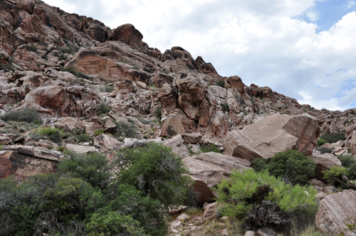
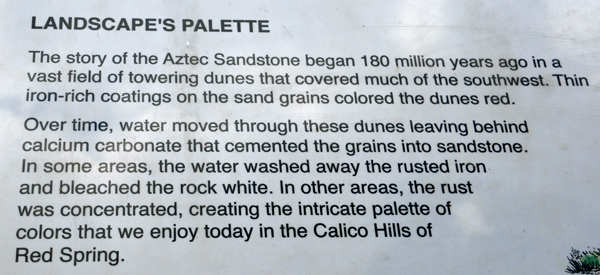
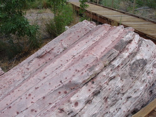
Hugging the base of towering dunes, the boardwalk allowed
Karen and Lee Duquette to be close enough to see the effect of what iron
rich coatings on grains of sand and calcium carbonate from water has done
to these dunes both bleaching the rock white, then accenting it with the
deepest reds resulting in patterns of red spots, bumps and marbles (see
below for explanation of spots, bumps and marbles). |
|
|
|
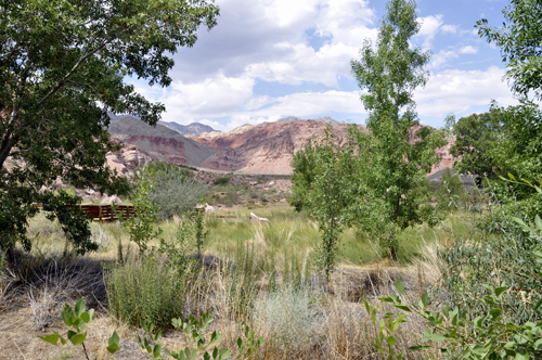
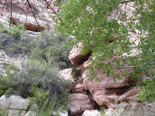
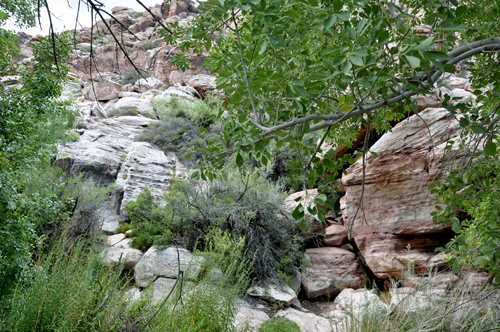
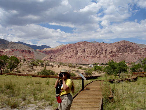
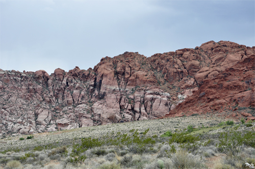
Below: As Lee and Karen Duquette started their walk on
the boardwalk, they found themselves amazed by the beauty all around them.
This is why they love being RV Gypsies and traveling for so many months
each year. |
|
|
|
|
|
|
|
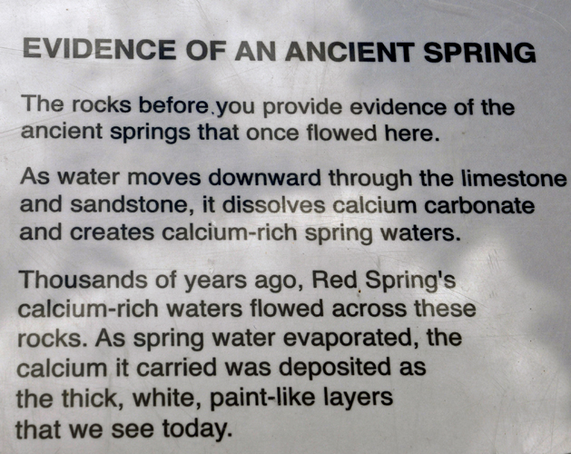
Below: Signs explained that ancient springs once flowed
here, plus showed a photograph of the area where the spring once flowed. |
|
|
|
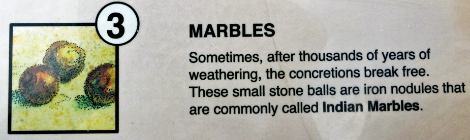
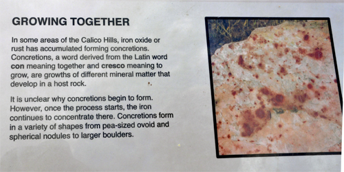
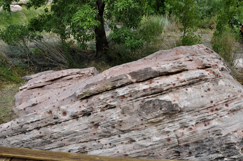
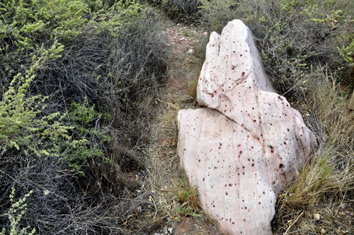
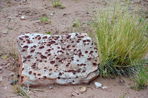
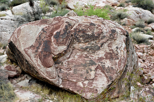
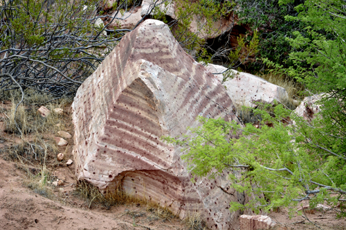
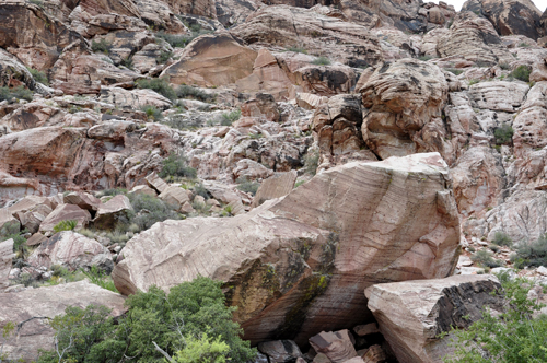
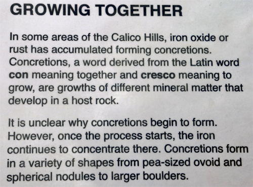
DIFFERENT TYPES OF ROCKS: Lee
and Karen Duquette were fascinated by the spots, bumps, and marbles on
the rocks. |
|
The rock below looked like
it had chicken pox.  |
|
|
|
|
|
|
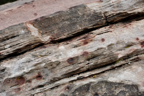
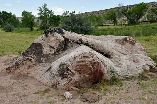
Below: Swiss cheese anyone??? |
|
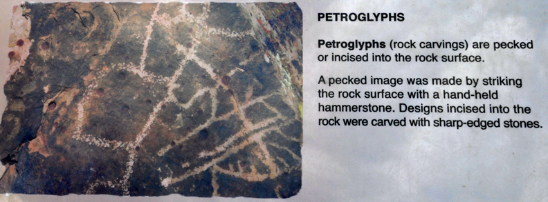
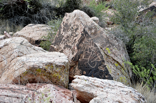
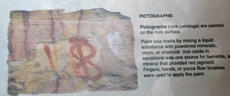
Hopefully, you have visited other pages on this website and have already learned
about Petroglyphs and Pictographs. But in case you skipped those pages,
here are signs explaining the difference between Petroglyphs and Pictographs.
(More information and photos can be found under the Red Letter P at the
bottom of this page) |
|
|
|
|
|
|
|
|
|
|
|
|
|
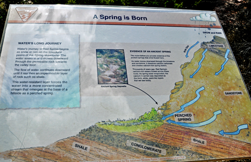
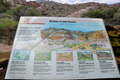
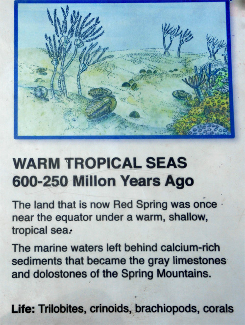
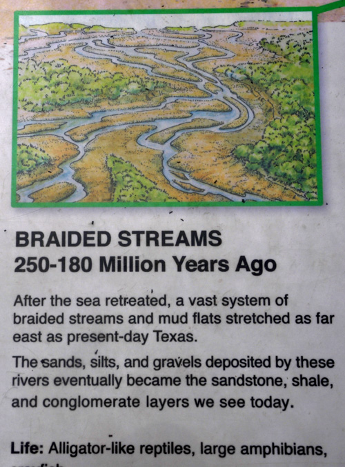
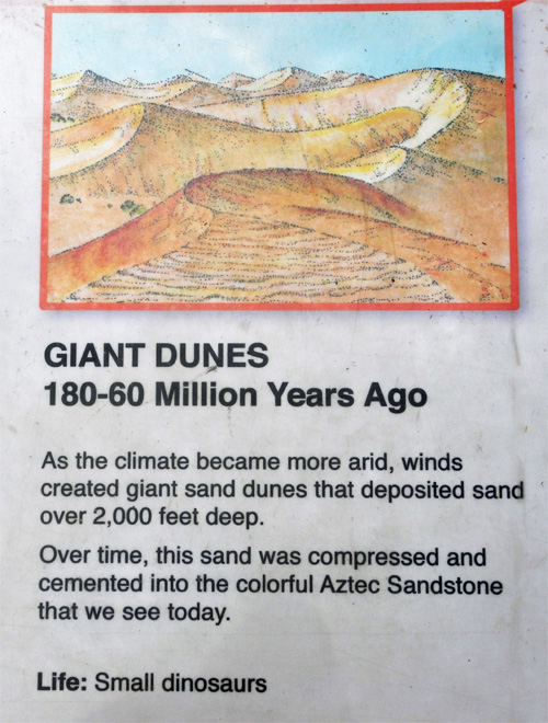
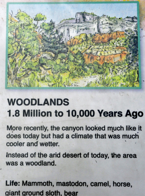
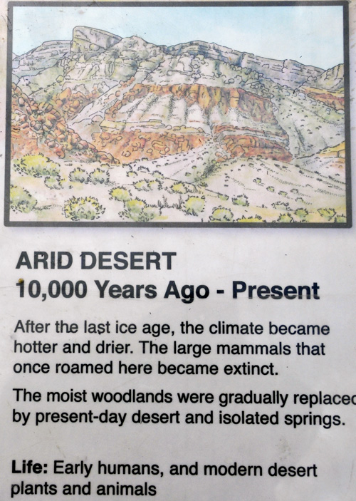
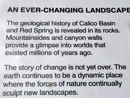
  Below:
Some important signs telling how this exact area looked from 600 million
years ago through today. The sign on the left side below demonstrates
how areas in the photo below on the right looked in the past. Karen Duquette
photographed each section of the sign separately so they are big enough
to be read - so just scroll down to be amazed. Below:
Some important signs telling how this exact area looked from 600 million
years ago through today. The sign on the left side below demonstrates
how areas in the photo below on the right looked in the past. Karen Duquette
photographed each section of the sign separately so they are big enough
to be read - so just scroll down to be amazed.
|
|
|
|
|
|
|
|
|
Below: Lee and Karen Duquette approached the end of the
boardwalk and their adventure at Red Spring. |
|
|
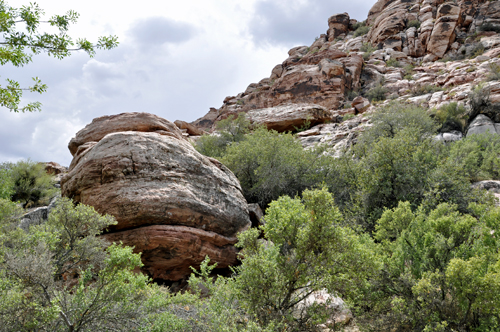
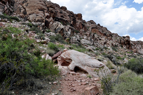
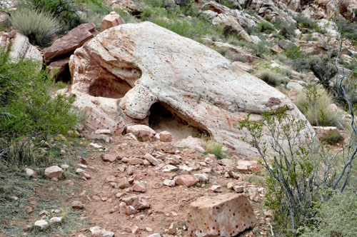
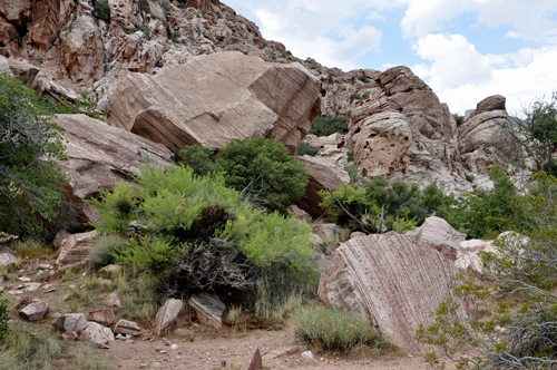
Below: A big rock that
previously fell from the mountain and landed beside the boardwalk. |
|
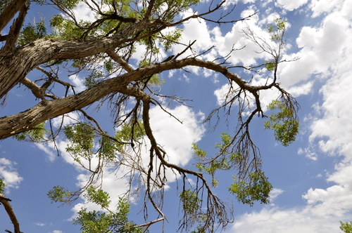
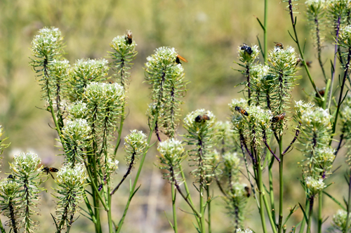
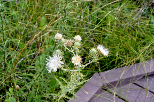
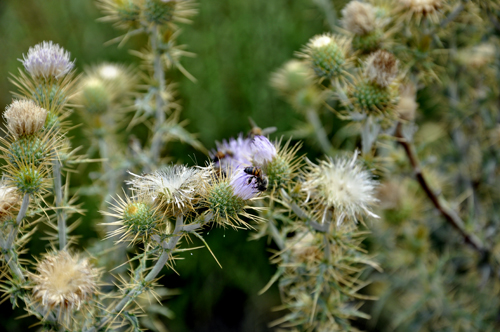
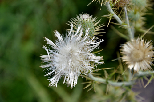
Below: A tree and some flowers
(some with bees on them) that Karen Duquette enjoyed photographing. |
|
|
|
|
|
|
|
|
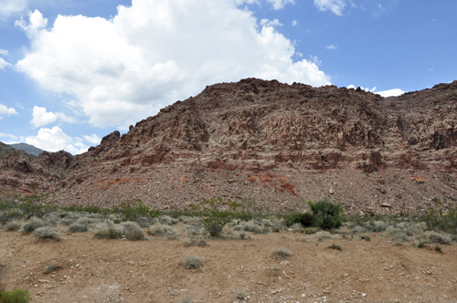
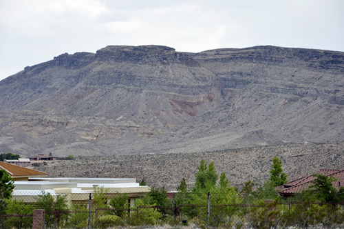
Below: Back in their car, the two RV Gypsies stopped for
a few more photos of the scenic area. |
|
|
|
|
|


 AFTER you have viewed all six (6) areas above, please continue on to
the adventures of The two RV Gypsies in the USA state of Utah as they
explored
AFTER you have viewed all six (6) areas above, please continue on to
the adventures of The two RV Gypsies in the USA state of Utah as they
explored