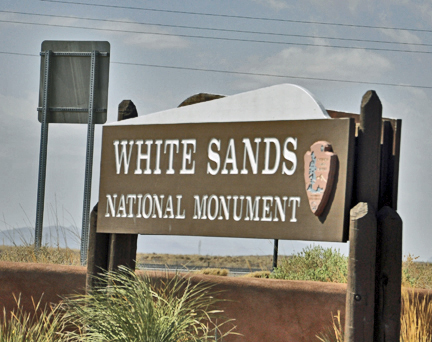
White
Sands National Monument |
West of Alamo, a vast area
of desert and mountain ranges 100 by 40 miles in extent is closed to public
access and used by the military for various kinds of weapons testing;
this includes the Trinity Site where the first atomic bomb was detonated
in July 1945. The other feature of interest in this otherwise desolate
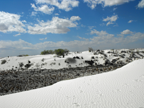
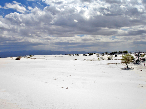
and un-welcoming land is 60 miles south in the flat Tularosa Basin. For
thousands of years the prevailing westerly winds have deposited gypsum
powder formerly eroded from the nearby San Andres Mountains, washed down
by rainwater and deposited in the seasonal Lake Lucero, a few miles southwest.
This created a huge area of white dunes covering 275 square miles. About
half of the sands are within the boundaries of the White Sands National
Monument, one of the most unusual and magical places in the Southwest. |
|
|
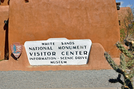
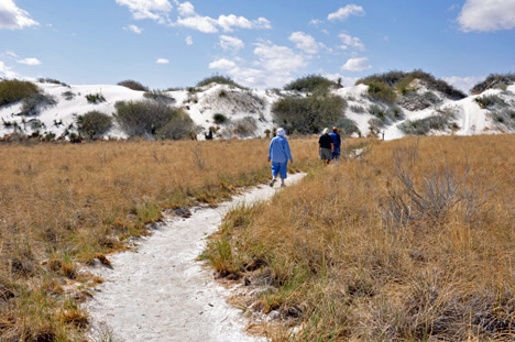
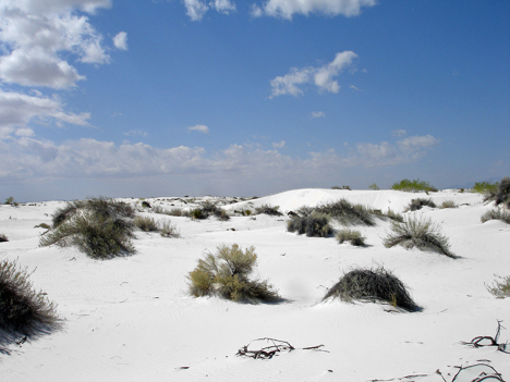
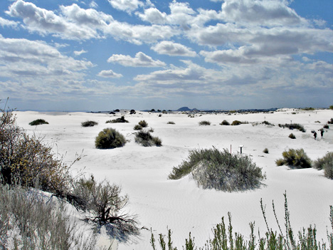
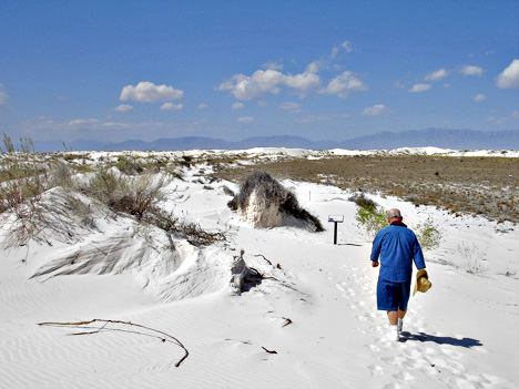
| The main road past White Sands
National Monument is US 70; this (and the dunes) is closed to all traffic
for a few hours once or twice a week as test missiles are fired overhead.
A paved road leads from the visitor center at the monument entrance on US
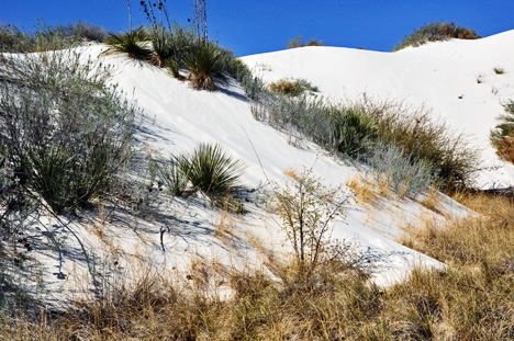
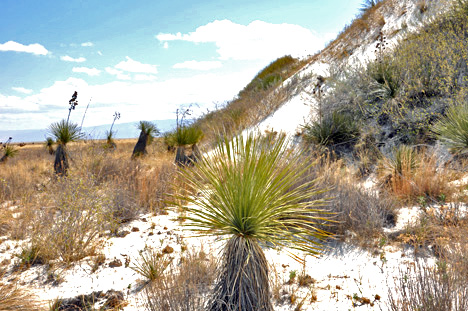
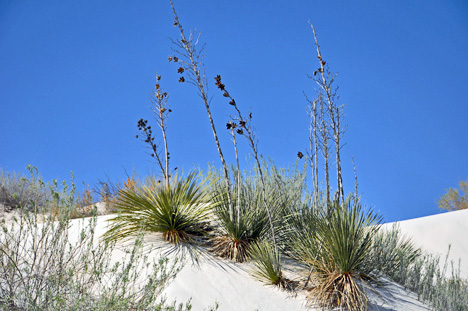
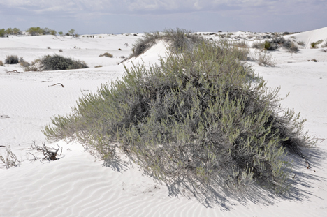
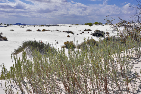
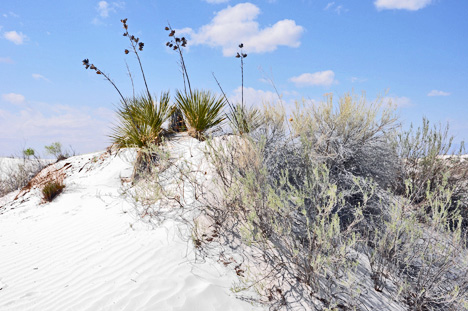
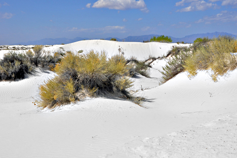
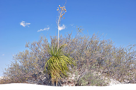
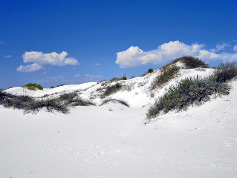
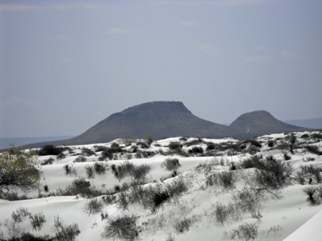
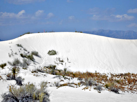
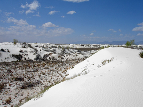
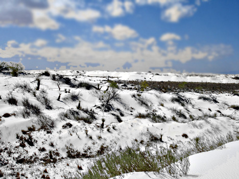
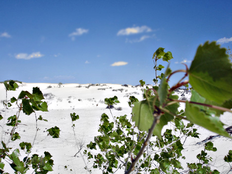
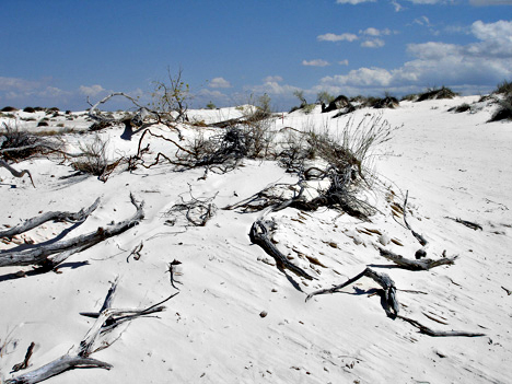
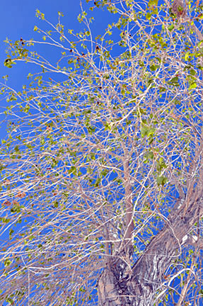
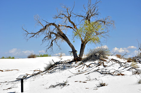
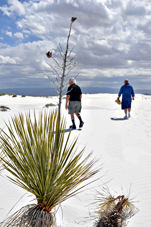
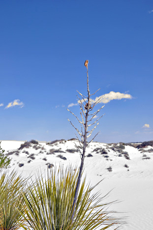
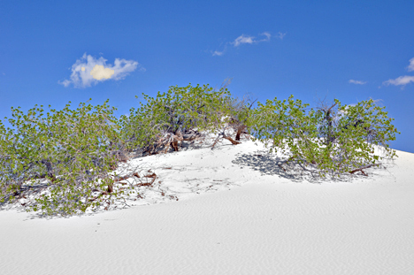
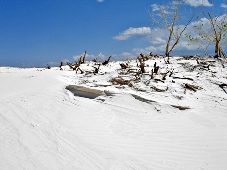
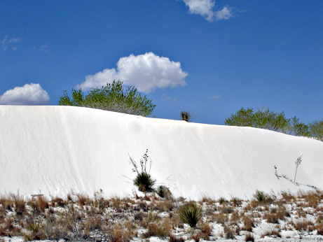
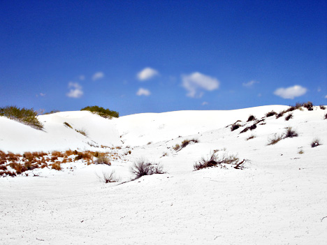
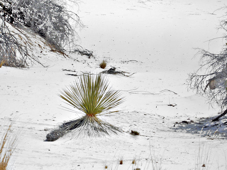
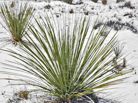
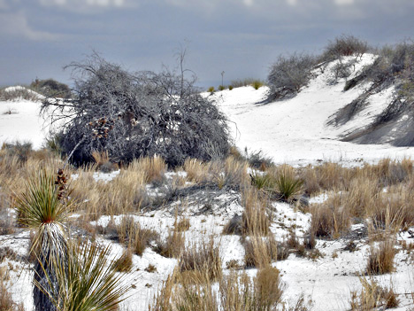
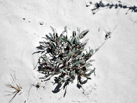
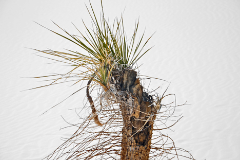
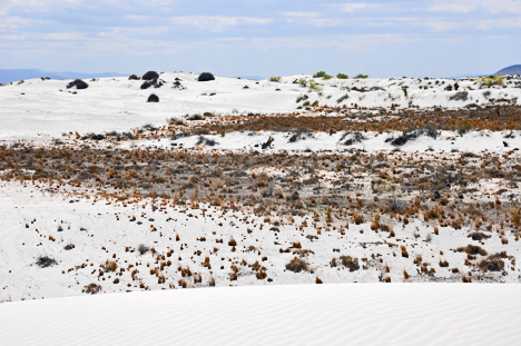
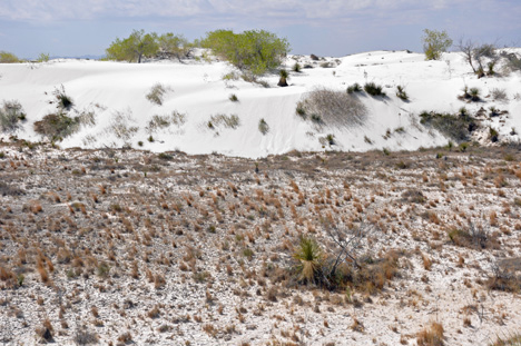
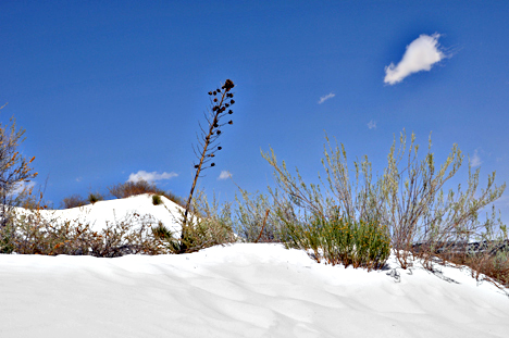
70 to the start of the sands 2 miles north. The edge dunes are just a few
meters high and support some plant life, with various species of grass,
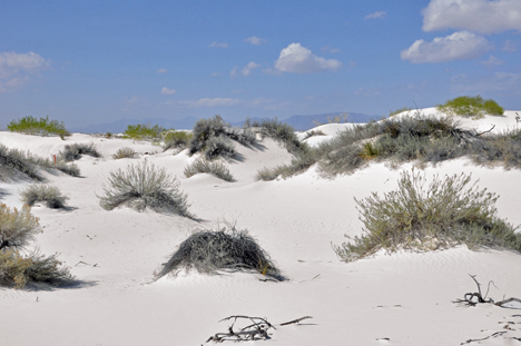
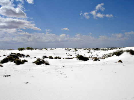
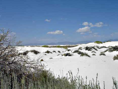
yucca and saltbush managing to survive at scattered points. Further into
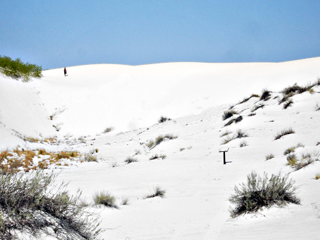
the monument there is little or no vegetation, just unbroken white landscape.
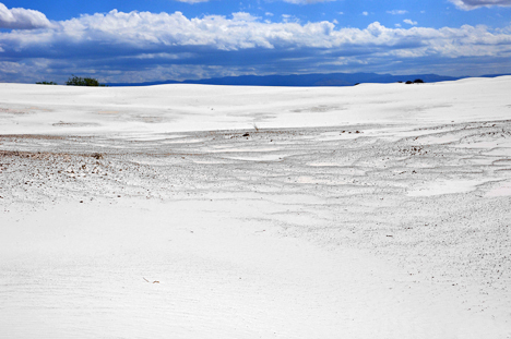
The road is paved for a while, although blowing sand often covers the surface. Towards the center the surface is just compacted gypsum, and the
'road' becomes a series of large cleared areas which can be adapted to
changes in dune position. They move by up to 20 feet per year. In this
surreal environment, everything is white, dazzlingly bright and intensely
hot in summer, capped on most days by a clear blue sky. |
|
|
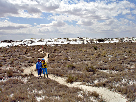
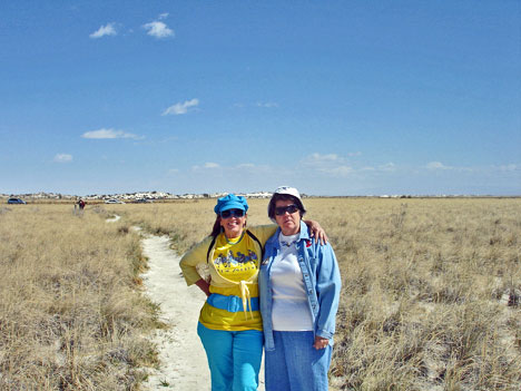
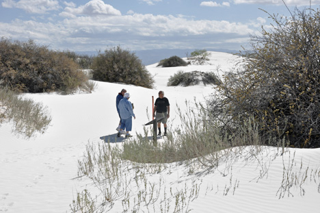
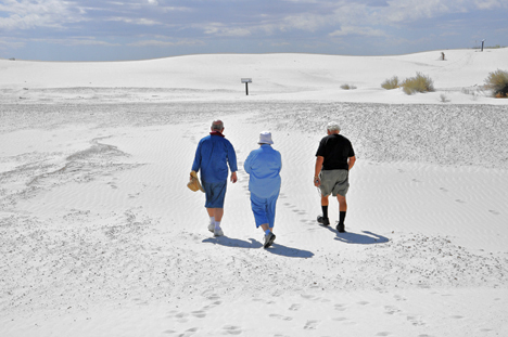
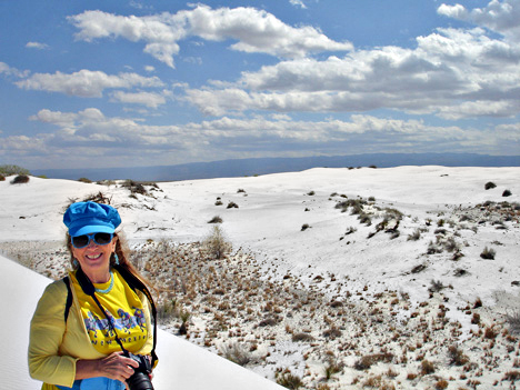
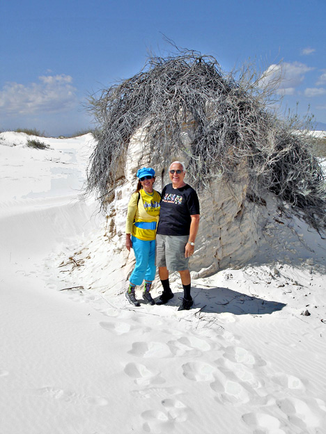
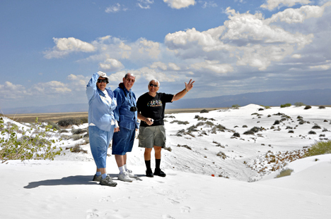
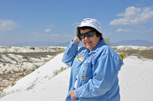
ABOVE:
Karen Duquette and Carole Gerig ready to view the white sands. |
|
|
|
|
|
|
|
|
|
|
|
|
Below:
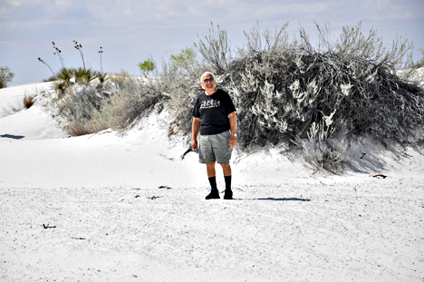
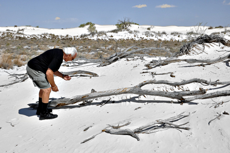
LEE DUQUETTE JUST HAD TO FEEL THE SAND TO SEE IF IT WAS HARD OR SOFT. |
|
|
|
|
|
|
|
|
|
|
| |
|
|
|
|
|
|
|
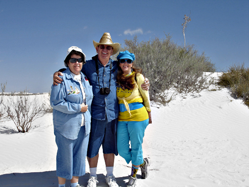
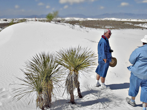
Below; Karen
Duquette with her good friends, Carole and Jerry Gerig, who live in New
Mexico. (Jerry named Karen "The Lightning Bug" because
of her bright colors on her clothing. |
|
|
|
|
|
|
|
|
|
|
| |
|
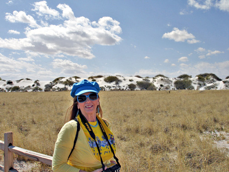
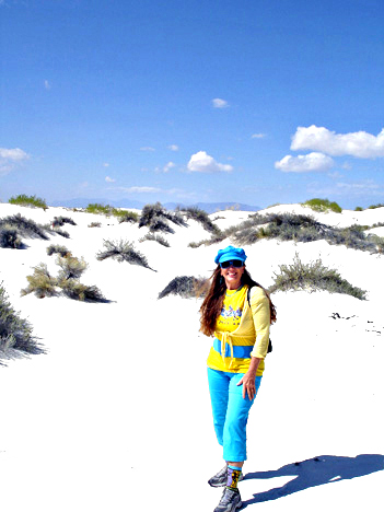
| Karen Duquette - the lightning bug |
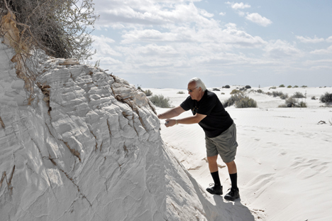
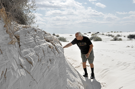
LOOKING DOWN A SAND CLIFF |
|
|
|
|
|
|
|
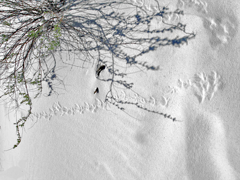
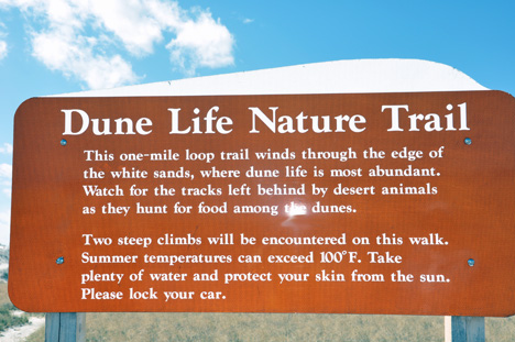
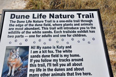
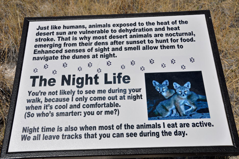
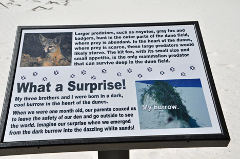
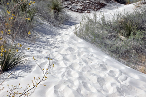
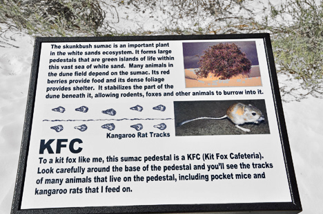
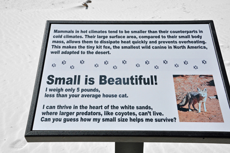
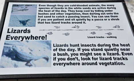
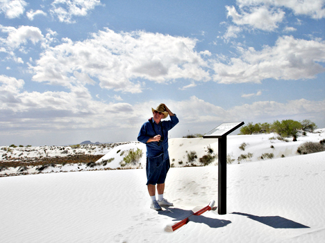
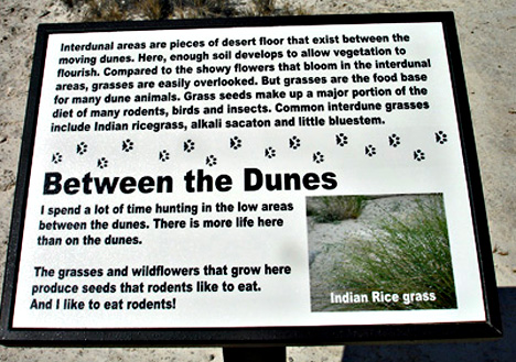
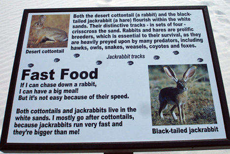
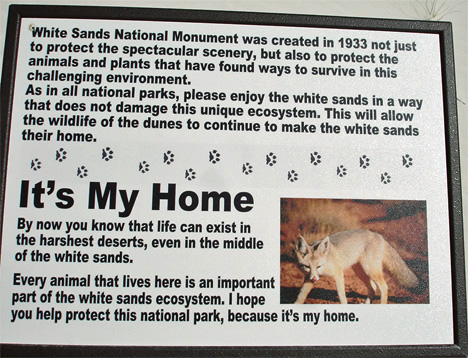
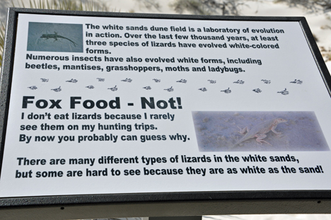
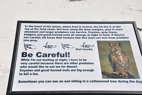
Below:
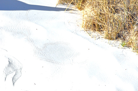
A sign about animals in the dunes - and some kind of animal tracks in
the sand |
|
"  |
|
|
|
|
|
|
|
|
|
|
|
|
|
|
|
|
|
|
|
|
|
|
|
|
|
|
|
|


 FOR
MORE PHOTOS at WHITE SANDS (PLAY-TIME)THE BOARDWALK; LEE DUQUETTE ON DUNES
FOR
MORE PHOTOS at WHITE SANDS (PLAY-TIME)THE BOARDWALK; LEE DUQUETTE ON DUNES