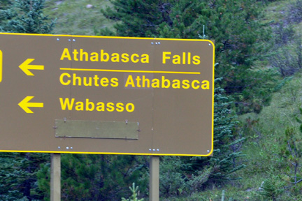
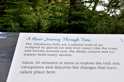
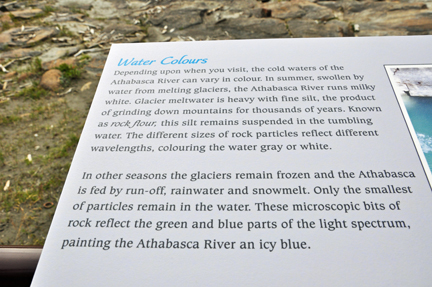
Now
that you have seen the signs giving a hint of what to expect, scroll down
for the real thing.
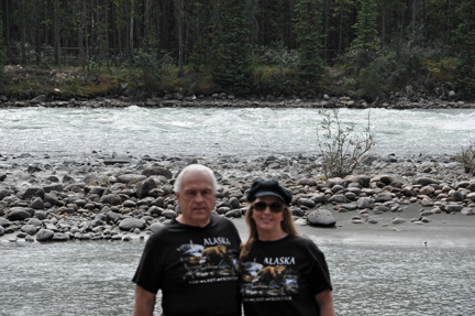
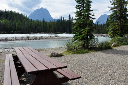
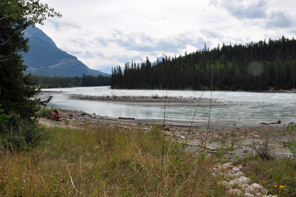
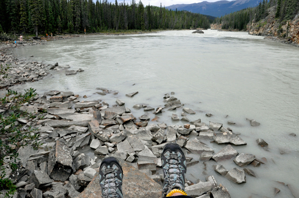
Below: The two RV Gypsies enjoyed a picnic beside the Athabasca River in 2009. They wanted to picnic here again in 2015, but this portion of the river was closed to the public with no access.

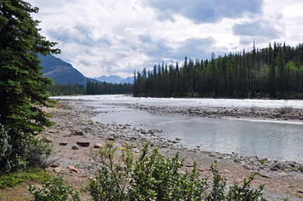
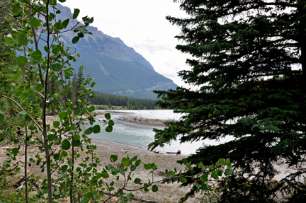
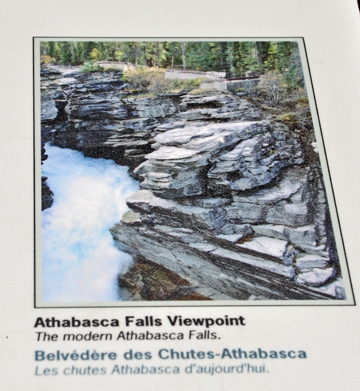
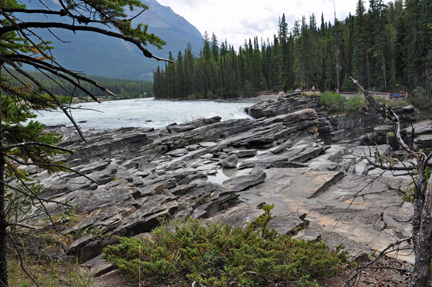
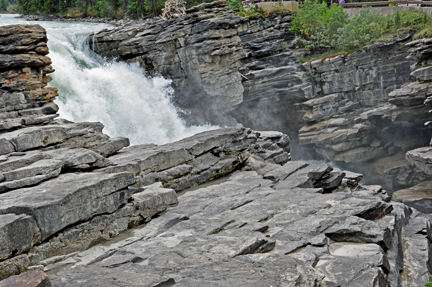
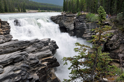
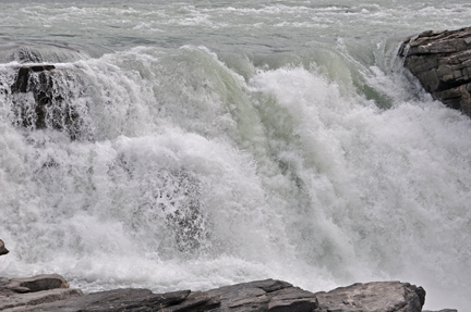
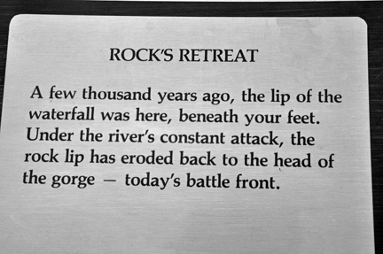
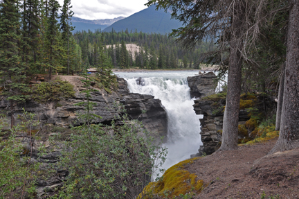
 Athabasca
Falls is a waterfall in Jasper National Park on the upper Athabasca
River, approximately 30 kilometres south of the townsite of Jasper, Alberta,
Canada, and just west of the Icefield Parkway. A powerful, picturesque
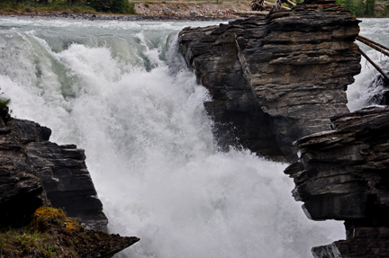
waterfall, Athabasca Falls is not known so much for the height of the
falls (23 metres), as it is known for its force due to the large quantity
of water falling into the gorge. Even on a cold morning in the fall, when
river levels tend to be at their lowest, copious amounts of water flow
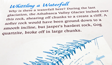
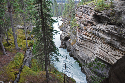
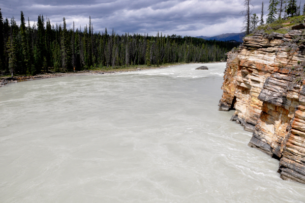
over the falls. The river 'falls' over a layer of hard quartzite and through
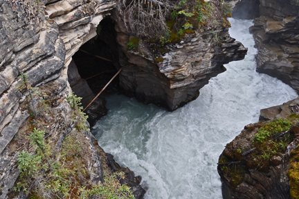
the softer limestone below, carving the short gorge and a number of potholes.
The falls can be safely viewed and photographed from various viewing platforms
and walking trails around the falls. Access is from the nearby parking
lot, which leads off Highway 93A just northeast of the falls. Highway
93A takes off from the nearby Icefield Parkway, and crosses the falls
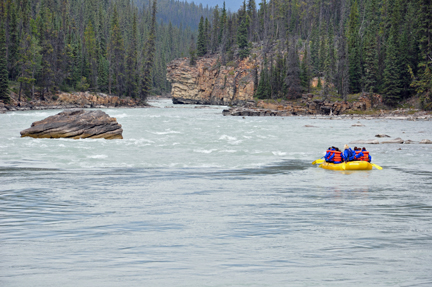
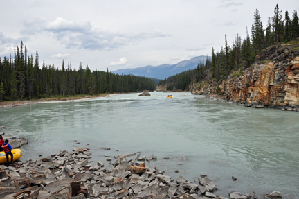
on the way north to the town of Jasper. White water rafting often starts
below the falls to travel downstream on the Athabasca River to Jasper.
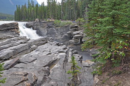
Athabasca
Falls is a waterfall in Jasper National Park on the upper Athabasca
River, approximately 30 kilometres south of the townsite of Jasper, Alberta,
Canada, and just west of the Icefield Parkway. A powerful, picturesque
waterfall, Athabasca Falls is not known so much for the height of the
falls (23 metres), as it is known for its force due to the large quantity
of water falling into the gorge. Even on a cold morning in the fall, when
river levels tend to be at their lowest, copious amounts of water flow
over the falls. The river 'falls' over a layer of hard quartzite and through
the softer limestone below, carving the short gorge and a number of potholes.
The falls can be safely viewed and photographed from various viewing platforms
and walking trails around the falls. Access is from the nearby parking
lot, which leads off Highway 93A just northeast of the falls. Highway
93A takes off from the nearby Icefield Parkway, and crosses the falls
on the way north to the town of Jasper. White water rafting often starts
below the falls to travel downstream on the Athabasca River to Jasper.
It is a Class 5 waterfall, with a drop of 80 feet and a width of 60 feet.

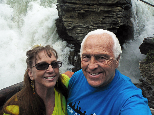
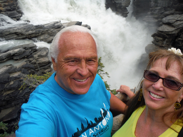
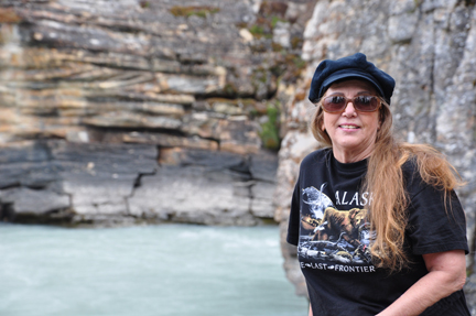
Below: The two RV Gypsies at Athabasca Falls in 2015.
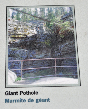
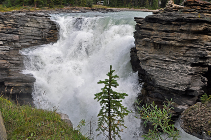
POTHOLE - looks like good
chocolate candy, according to Lee Duquette.

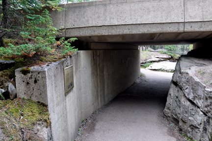
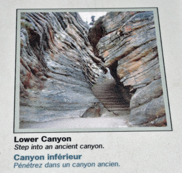
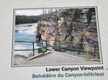
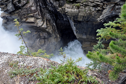
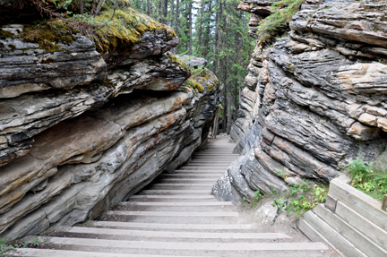
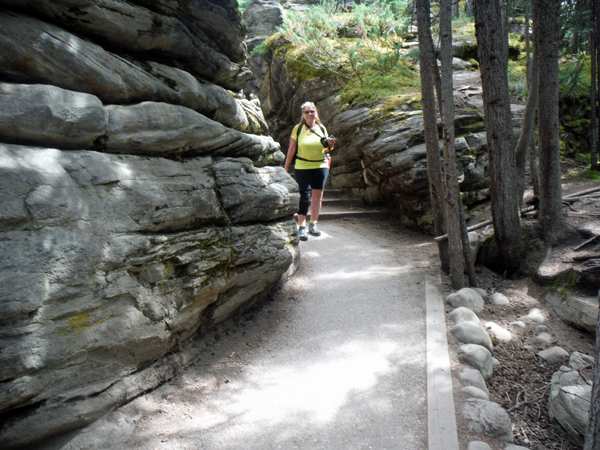
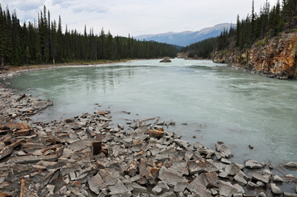
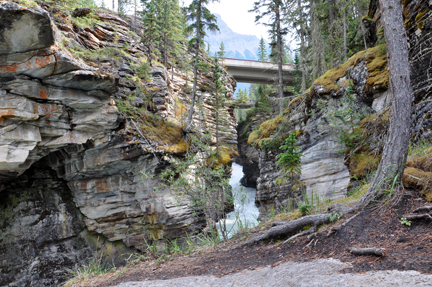
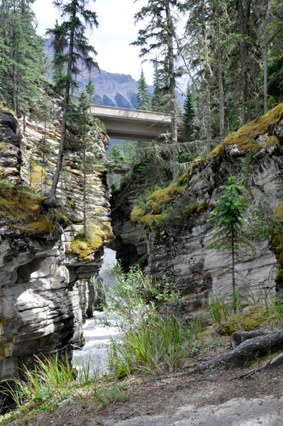
Below: Going to the lower
canyon (small photo is 2009) (big photo is 2015)
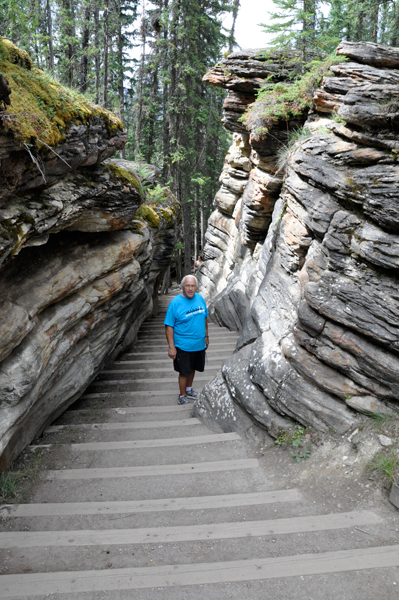
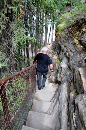
Below: Lee Duquette on the path in 2009 and Karen Duquette on the same path in 2015.
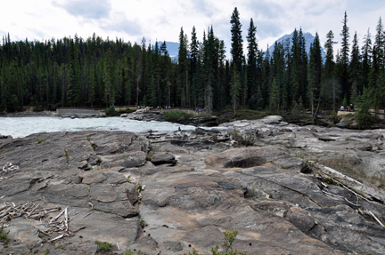
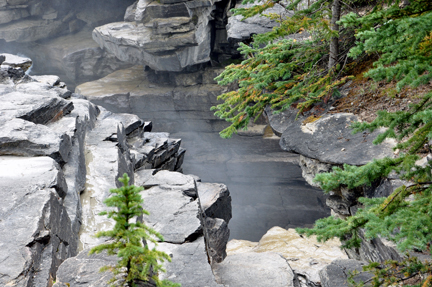
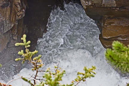
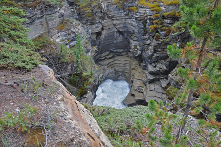
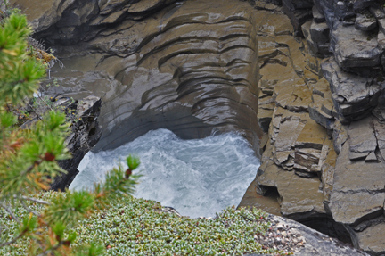
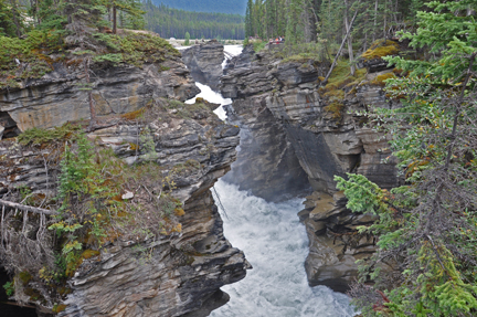
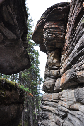
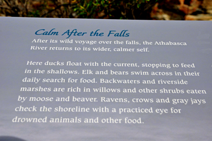
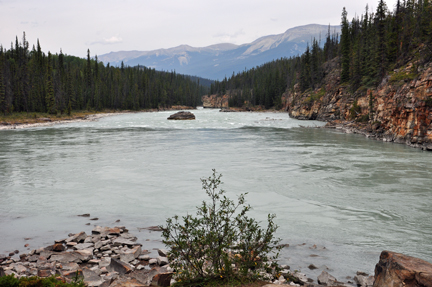
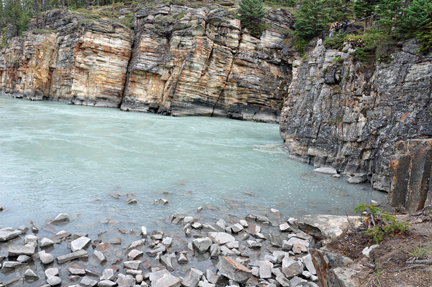
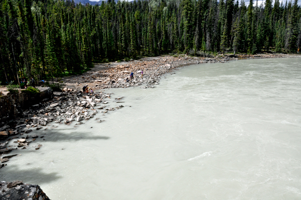
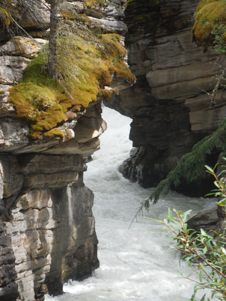
The lower Canyon viewpoint
and the river below
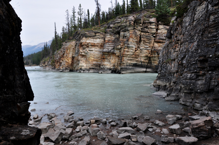
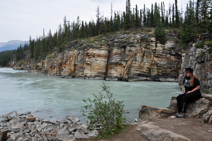
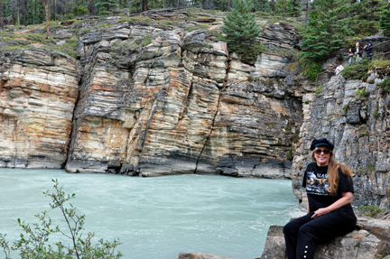
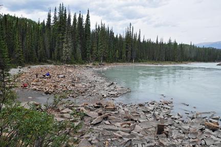
Below: 2009
Below: 2015

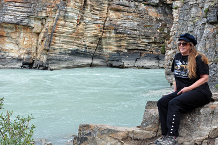
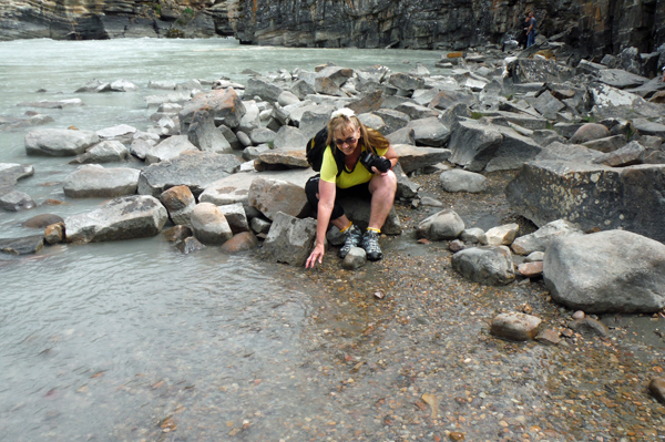
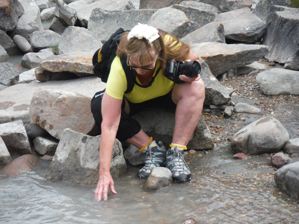
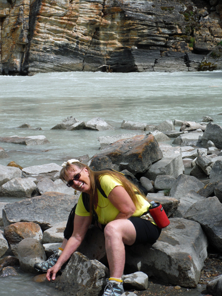
Below: Karen Duquette felt the glacier-fed waters which were icy cold, of course. (2015 photo)
Below: Looking from lower
viewpoint upwards towards the falls in 2009 and in 2015


 Visit sites in the order they happened and continue on to