|
|
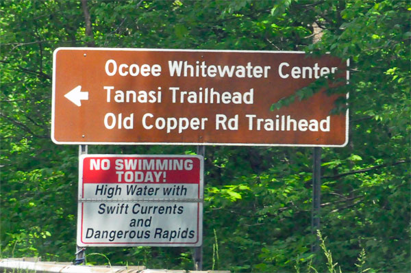
Ocoee Whitewater Center is sometimes listed in Copperhill, and sometimes in Ducktown. The two cities are near each other. The two RV Gypsies had a really hard time finding this place. They stopped at several places for directions, and were turned around twice. But they eventually got there, and enjoyed the day, |
 |
 |
 |
 |
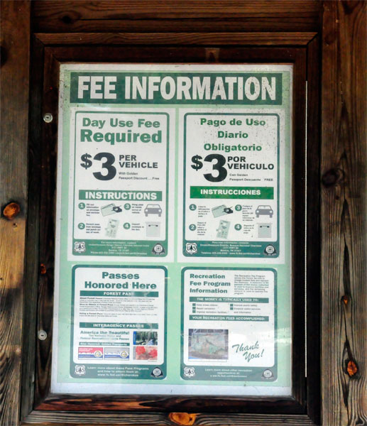
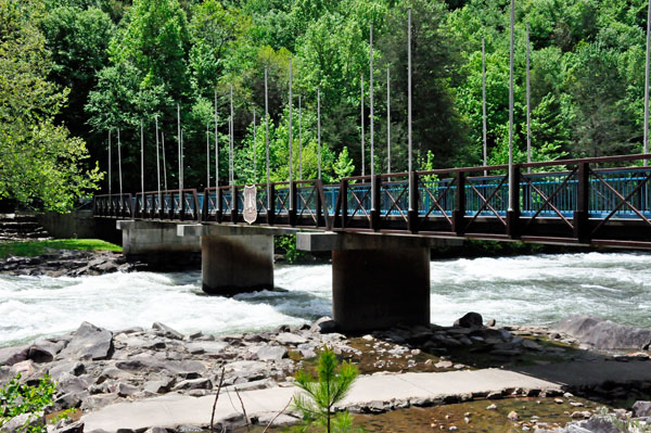
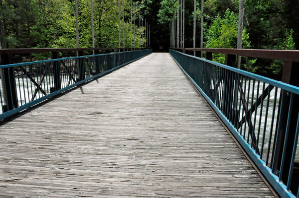
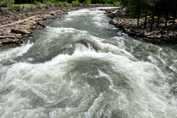
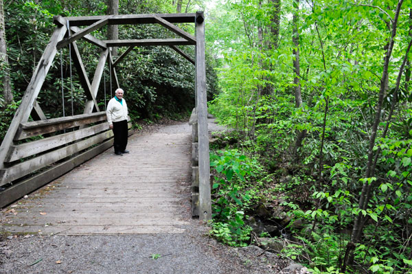
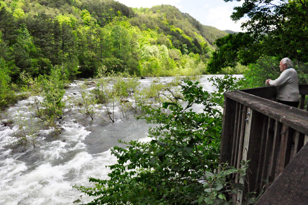
After parking their car and paying the required fee, the two RV Gypsies walked on the bridge and enjoyed various views of the Ocoee River. |
 |
 |
 |
 |
 |
 |
 |
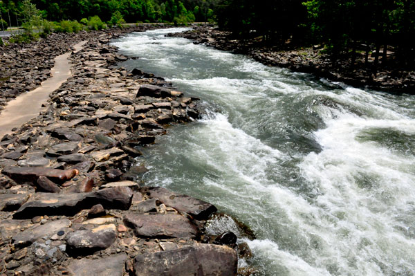
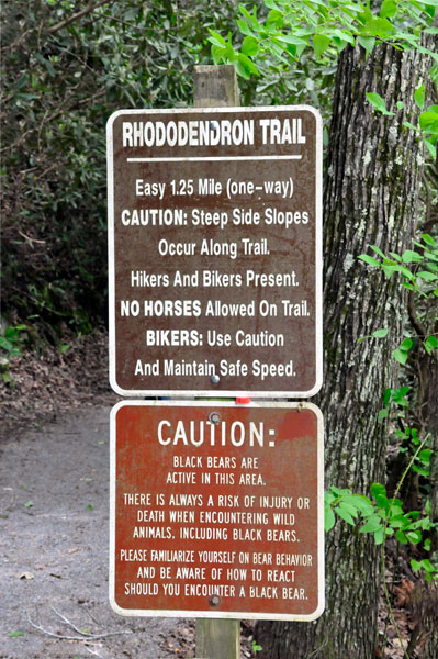
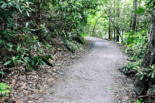
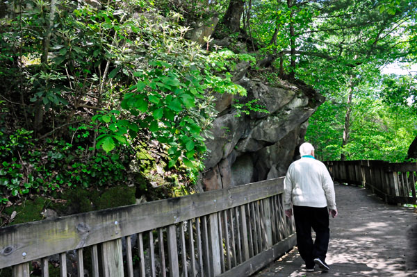
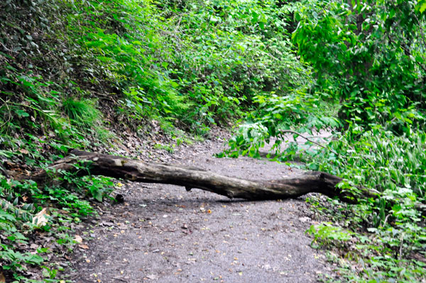
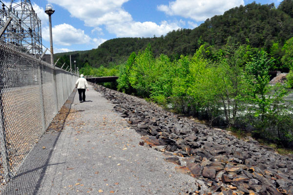
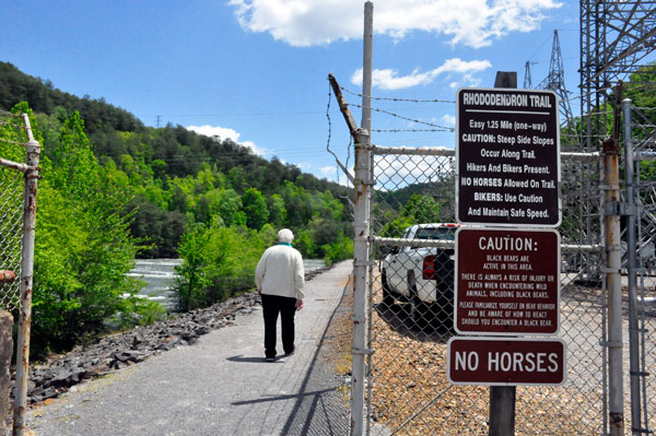
There are several trails here to explore. The two RV Gypsies chose the easiest one, the Rhododendron Trail. It is a 3.3 mile out and back trail. The trail was an easy, flat, gravel trail, with steep slide slopes along the Ocoee River. The trail is good for all skill levels. Bikers were allowed on the trail, and the two RV Gypsies often had to step aside for the bikers to pass. |
 |
 |
 |
 |
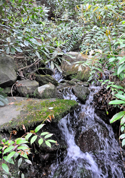
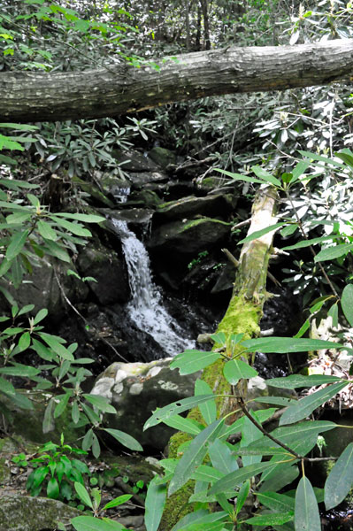
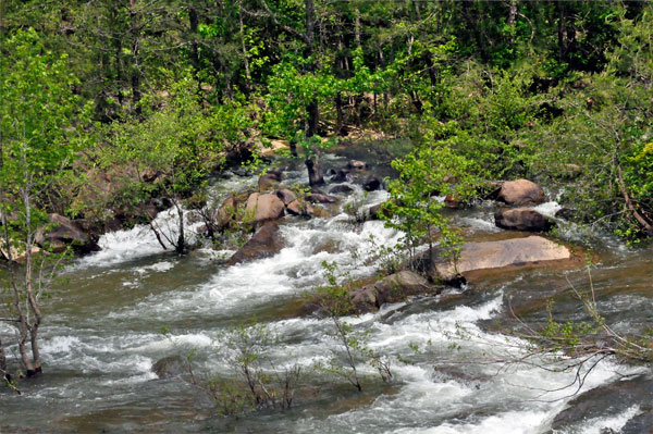
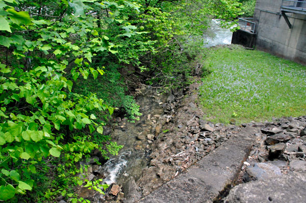
Below: The two RV Gypsies got several views off to the side of the trail of small, flowing waterfalls. |
 |
 |
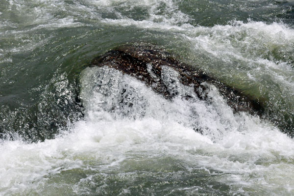
Below: After a short stop at the viewing platform for a better look of the Ocoee River, it was time to continue past the big boulder on the trail. |
 |
 |
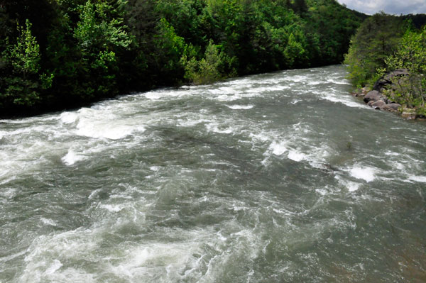
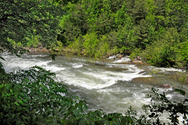
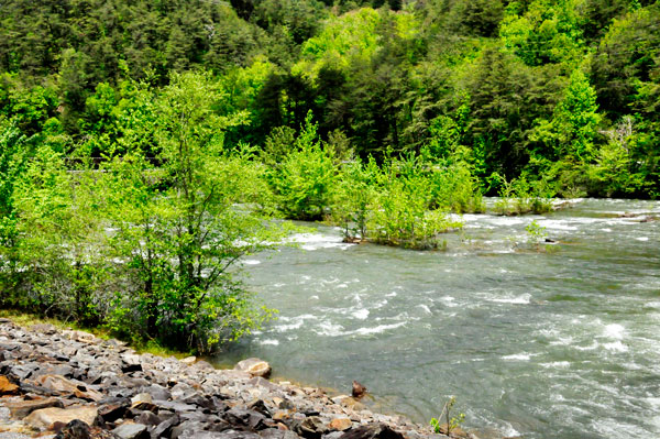
More views of the Ocoee River along the trail |
 |
 |
 |
 |
 |
 |
 |
 |
 |
 |
 |
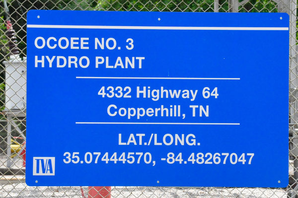
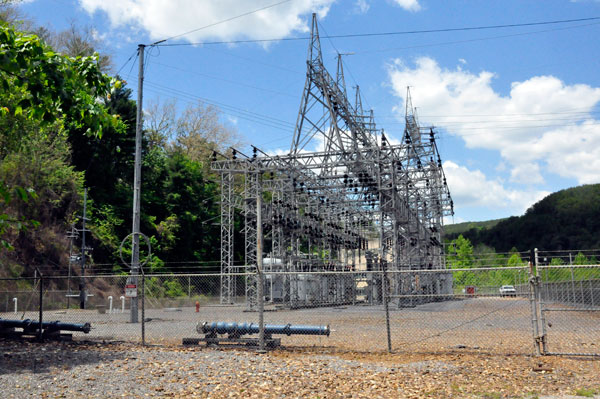
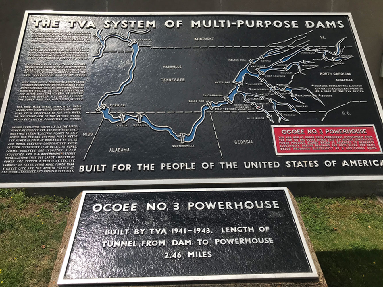
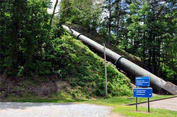
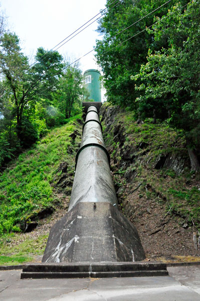
The Ocoee No. 3 powerhouse is located more than two miles downstream from the dam. At the dam, water from the river is diverted into a tunnel and carried to the powerhouse downstream. Because of the drop in elevation from the dam to the powerhouse, power generation is significantly higher than it would be if the dam were right next to the powerhouse. Unfortunately, the two RV Gypsies did not have time to get to the dam itself.
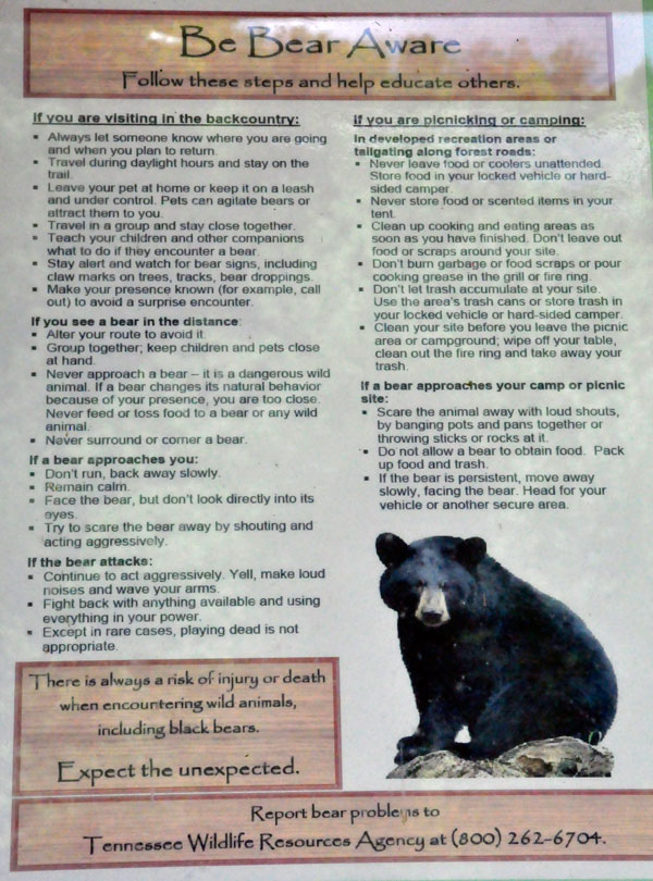
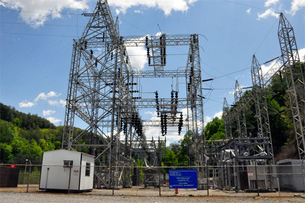
Since Lee Duquette once worked as an electrician at TVA in Chattanooga, Tennessee, he found the below sign quite interesting, |
 |
 |
 |
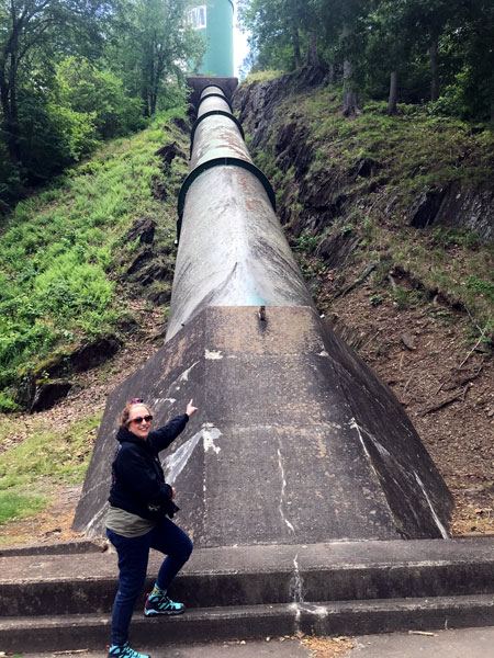 |
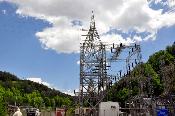
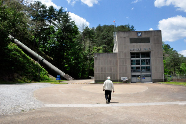
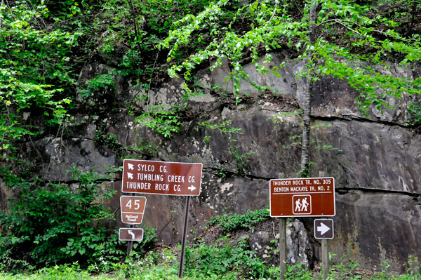
Below: Signs to nearby campgrounds and a glimpse of the river
behind the TVA building. |
 |
 |
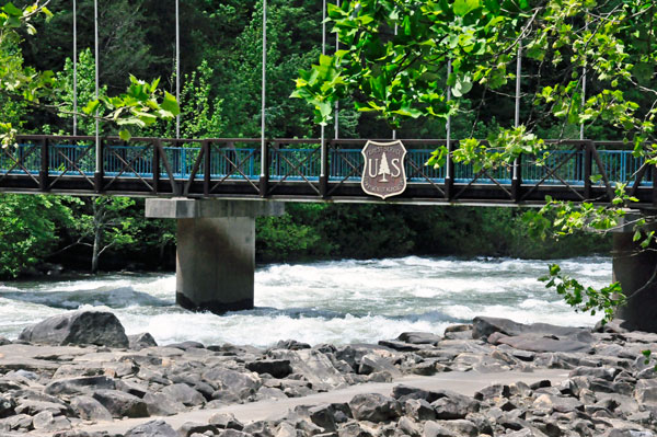
Then it was time for the hike back to the The US Forest Service Bridge and continue on to the Ocoee Whitewater Olympic site. |
 |

 page 2 -