|
|
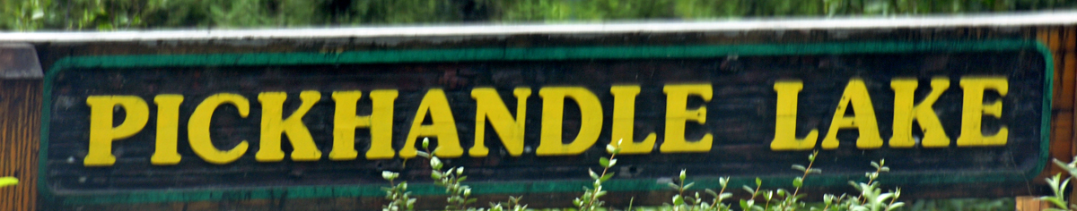
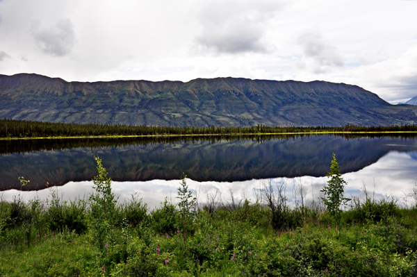
 The
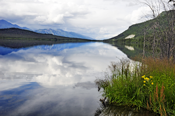
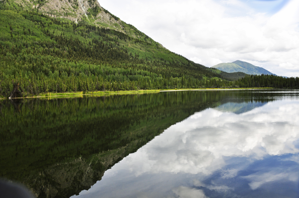
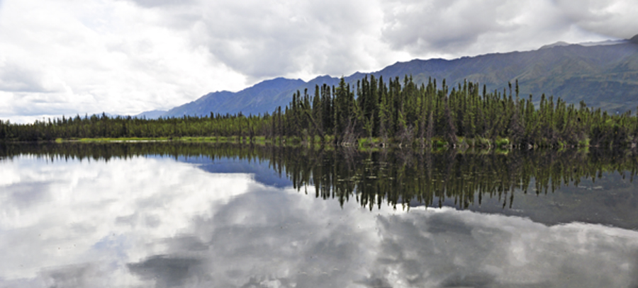
Pickhandle Lakes area – known as Chetthel Chi, “Stone
Axe Handle Lake” in Southern Tutchone -- is a diverse complex
of small lakes, pothole lakes, marshes and bogs. It is located within
the Shakwak Trench, which is an important flyway for migratory birds
traveling to and from Central Yukon and Alaska. The
Pickhandle Lakes area – known as Chetthel Chi, “Stone
Axe Handle Lake” in Southern Tutchone -- is a diverse complex
of small lakes, pothole lakes, marshes and bogs. It is located within
the Shakwak Trench, which is an important flyway for migratory birds
traveling to and from Central Yukon and Alaska.
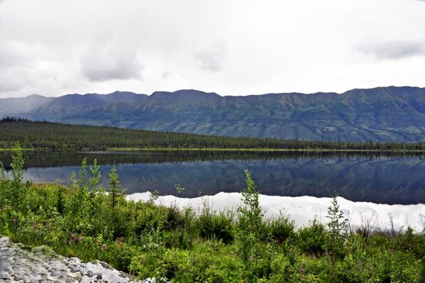
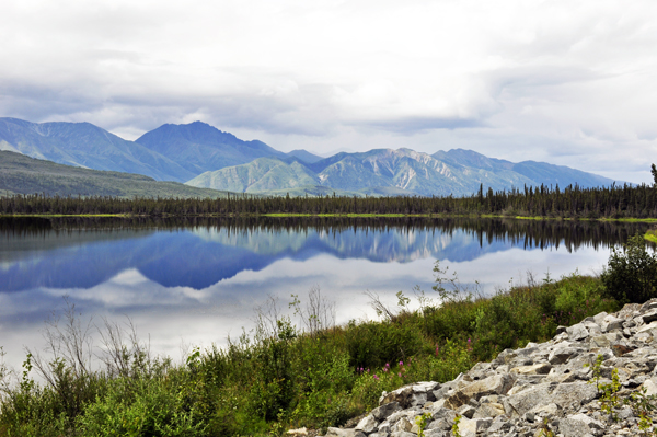
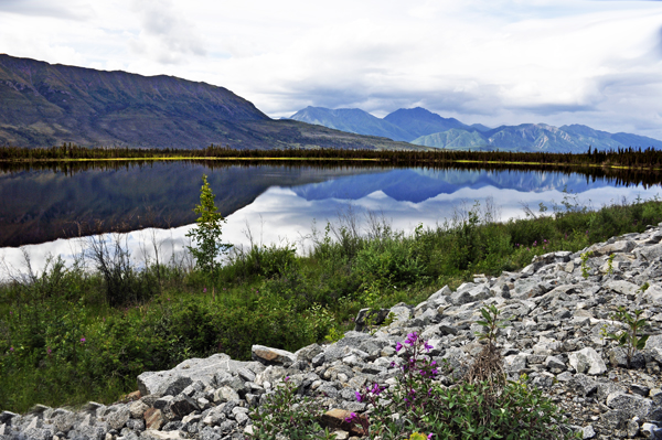
The HPA lies between the Donjek and White Rivers and is adjacent to the Alaska Highway. It measures 51 km in area. The north-eastern edge of the HPA is easily accessible from the highway.
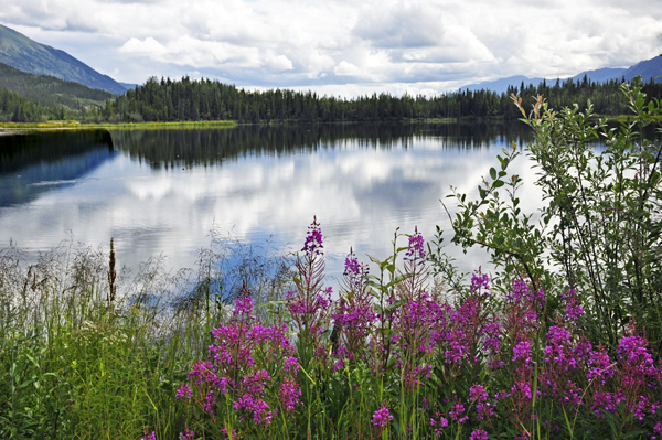
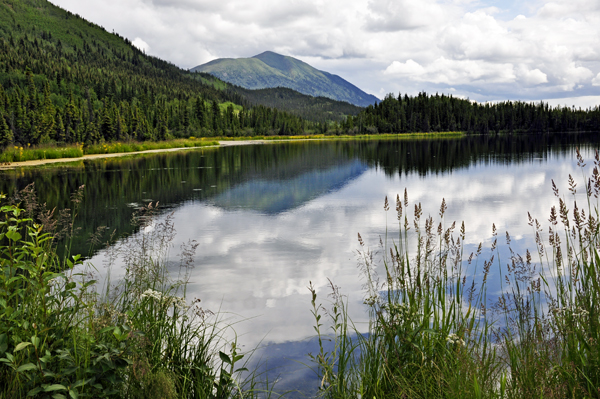
The Pickhandle Lakes area is one of western North America’s most important flyways or bird migration corridors leading from South America, the Gulf of Mexico, the US Midwest, the west coast of the US and Canada into central Yukon and Alaska. The Koidern River supplies nutrients to the shallow ponds and lakes of the HPA, nourishing the plants and aquatic life which in turn attracts the migrating waterfowl for example these ponds are some of the primary nesting areas of for the trumpeter swan.
Other wildlife species that are plentiful in the HPA include moose, beaver, otter, mink, muskrats and raptors. First Nations people come here to fish species such as whitefish, arctic grayling, northern pike, and suckers and to harvest sheep, moose, caribou, beavers and muskrat. This area is also abundant in wild berries and edible plants.
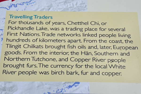
In the past, the Tlingit Chilkat people traveled hundreds of kilometers
from the coast to trade fish oils here for furs from the Han, Southern
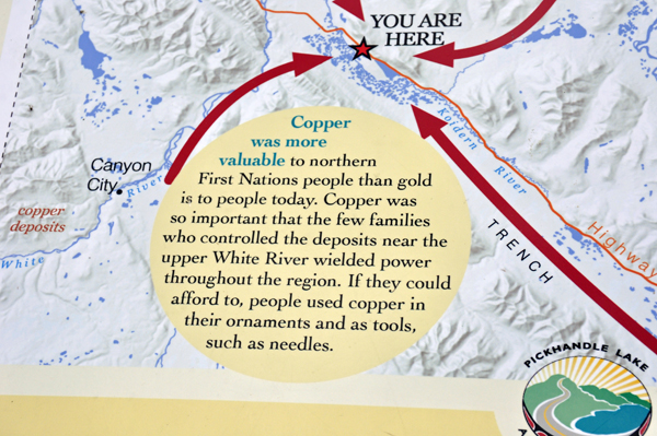
and Northern Tutchone and Copper people. Chetthel Chi was and
still is rich in copper, which was traditionally used to make ornaments
and tools. Copper was also used as currency by both First Nations. |
 |
 |
 |
 |
 |
 |
 |
 |
 |
 |
 |
 |
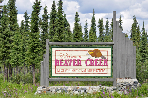
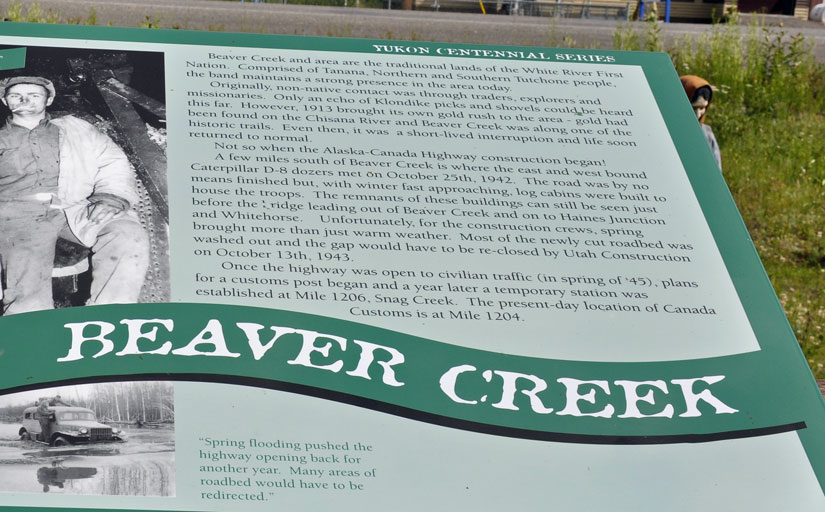
Beaver Creek is a community in Yukon, Canada. Located at historical mile 1202 of the Alaska Highway, close to the Alcan - Beaver Creek Border Crossing, it is Canada's westernmost community. The community's main employers are a Canada Border Services Agency port, the White River First Nation and a number of tourist lodges.
It is the home of the White River First Nation. The First Nation is made up of Upper Tanana speaking people whose traditional territory extends from the Donjek River into neighboring Alaska, and Athabaskan Northern Tutchone speaking people whose traditional territories included the lower Stewart River and the area south of the Yukon River on the White and Donjek River drainages.
In addition to the Alaska Highway, the community is served by the Beaver Creek Airport.
The CBSA station is the furthest from the border crossing of any Canadian customs station, 17.8 miles, and at least up to the 1990s, some individuals lived in the "no man's land" in between the border and customs. Prior to 1983, the customs station was located in the middle of the community, with the resulting confusion: individuals driving past without stopping, and locals with a new vehicle not being recognized as they drove by. |
 |
 |
 |
 |
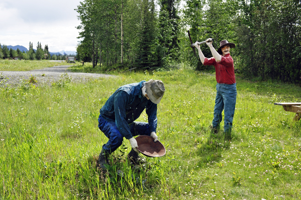
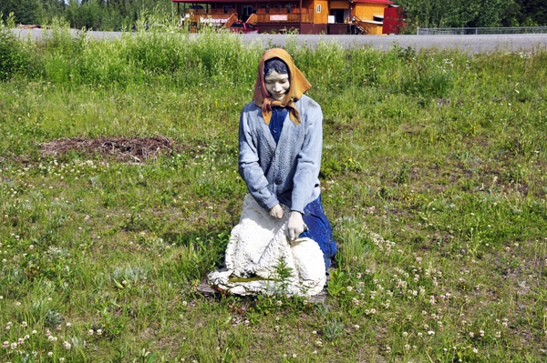
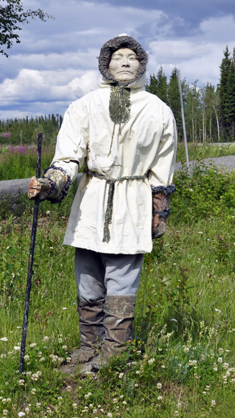
Below: Statues that signify Yukon's past; gold panning, lumberjacks, sheep
herding, and First Nations People. |
 |
 |
 |
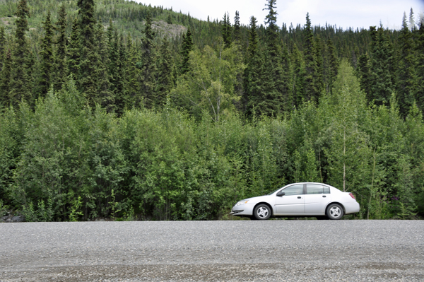
Below: As discussed
with the tow truck driver before leaving Whitehorse, it was agreed that
the two RV Gypsies would wait in this area for the tow truck and the
the two RV Gypsies' RV to catch up with them. But after an hour's wait,
Lee Duquette called the tow truck driver and was told to continue on
to Fairbanks because they were delayed way back at Haines Junction. |
So the two RV Gypsies continued on and eventually reached the
Yukon/Alaska border. |
|